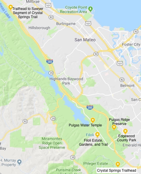
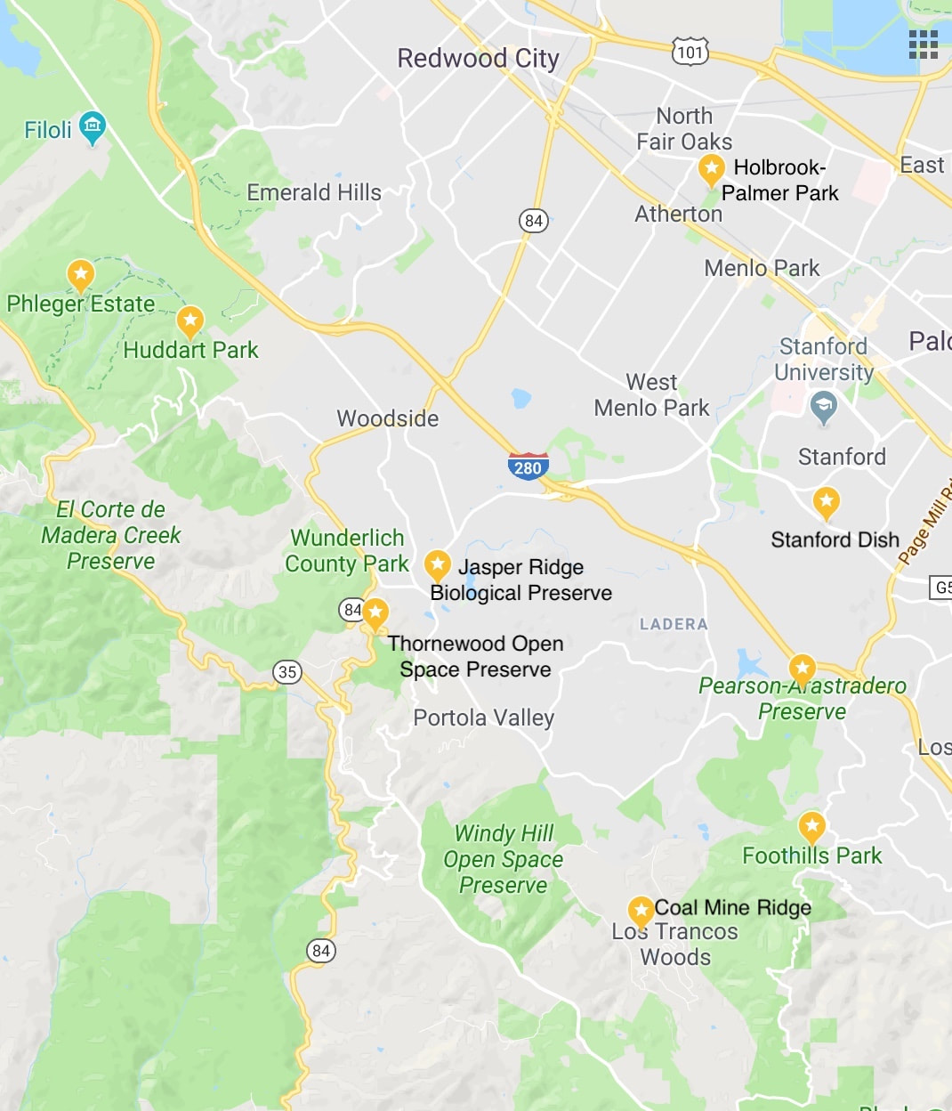
Central Peninsula (280 Corridor from San Carlos to Portola Valley)
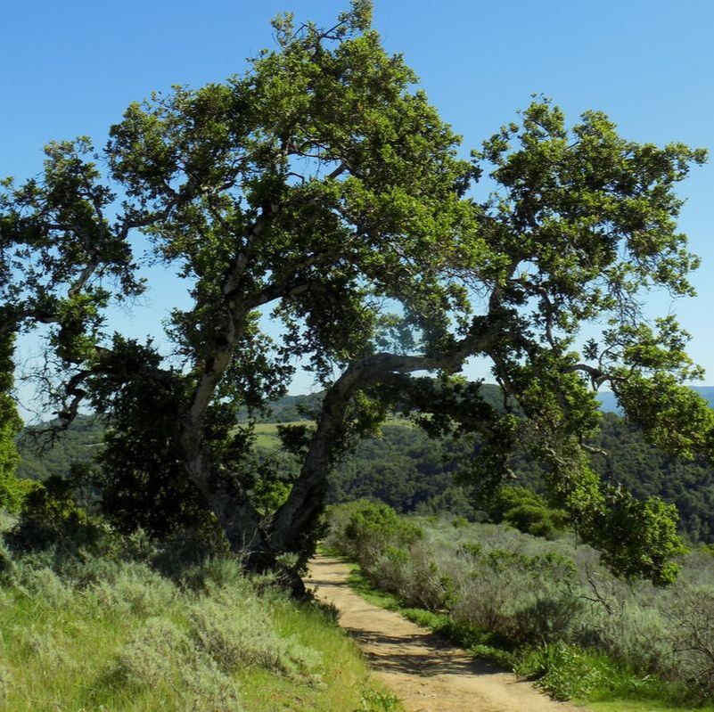
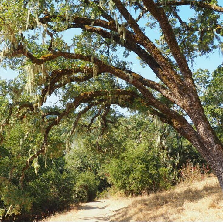
The Interstate 280 corridor from San Bruno to San Carlos travels along both the Crystal Springs Reservoir (which holds drinking water brought in from Hetch Hetchy) and protected water district lands. Despite all of the green space on the map, most of this area is not accessible to the public. In this area, however, you will find a well-used trail along the length of the reservoir and several lovely parks to the east of 280 plus the historic "country estate" of Filoli. In the areas around Stanford University, you will find grassy, wooded hillsides, second and third-growth redwood forests, and urban parks & gardens.
|
|
Parks Visited (click on photos below to read more):
|
Parks visted (cont.)
- Thornewood Preserve
- Windy Hill (see also South Skyline)
- Wunderlich (see also North Skyline)
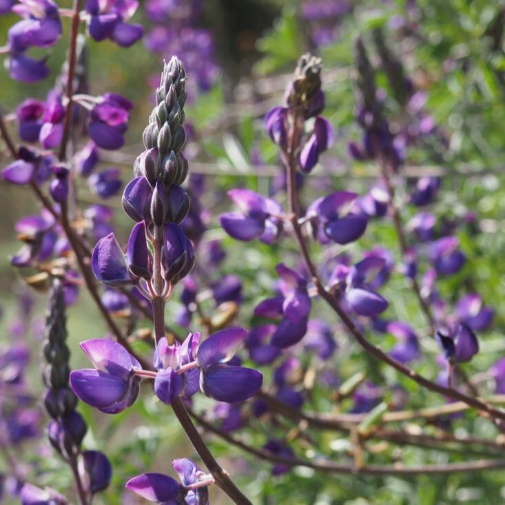
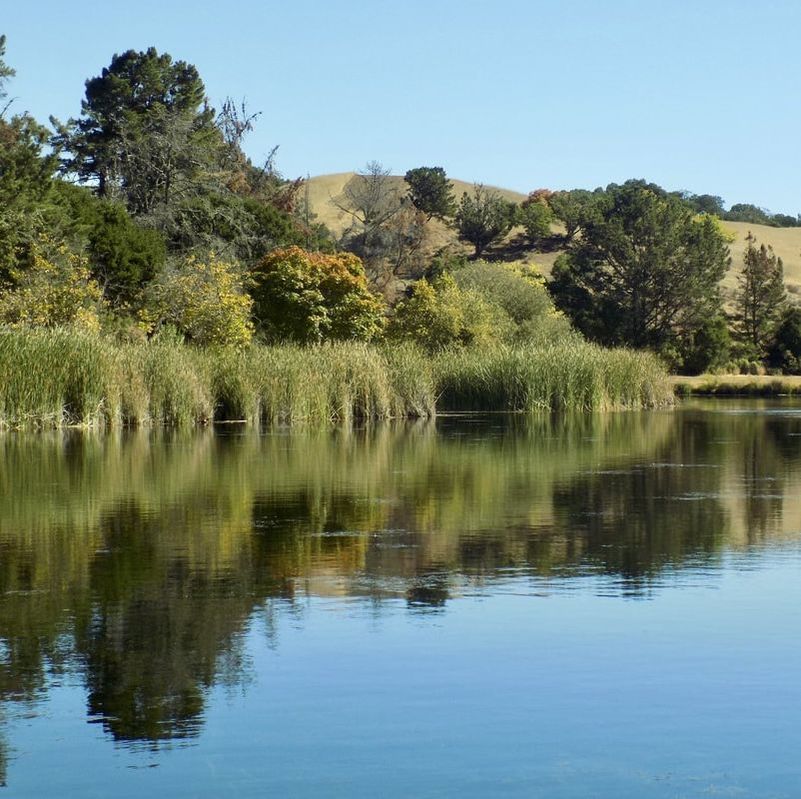
Crystal Springs
|
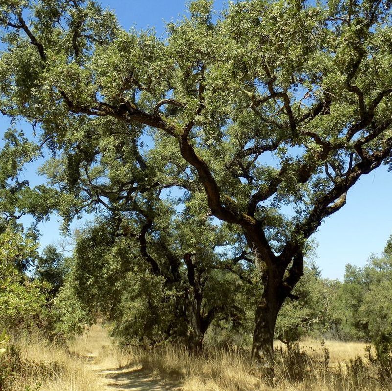
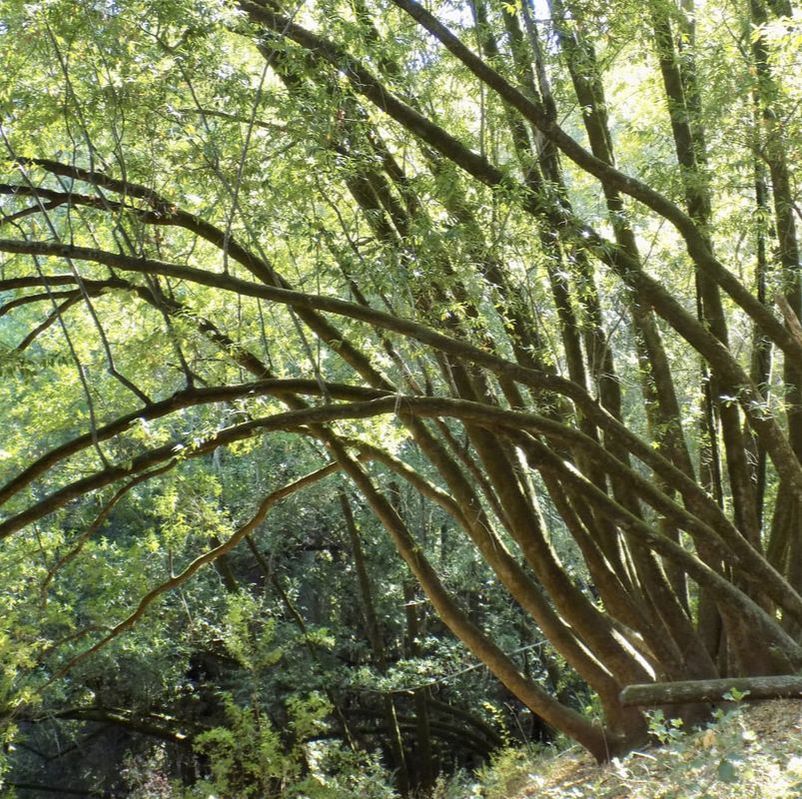
Coal Mine Ridge
|
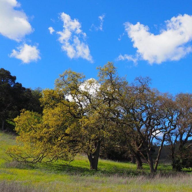
Edgewood County Park
|
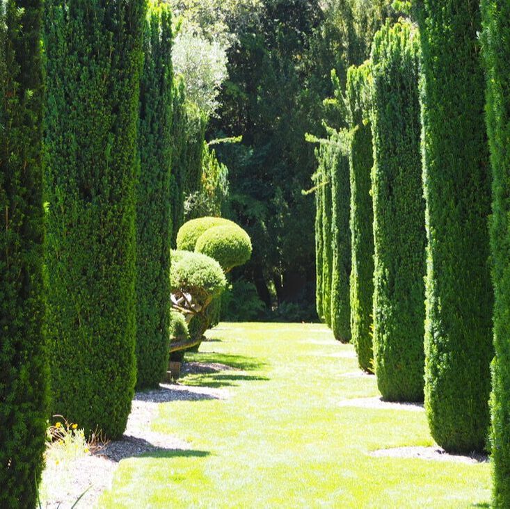
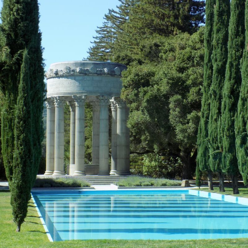
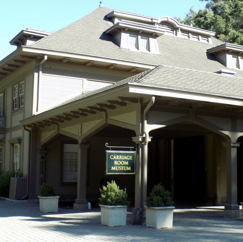
Filoli Estate
|
Foot Hills Park
|
Holbrook-Palmer Park
|
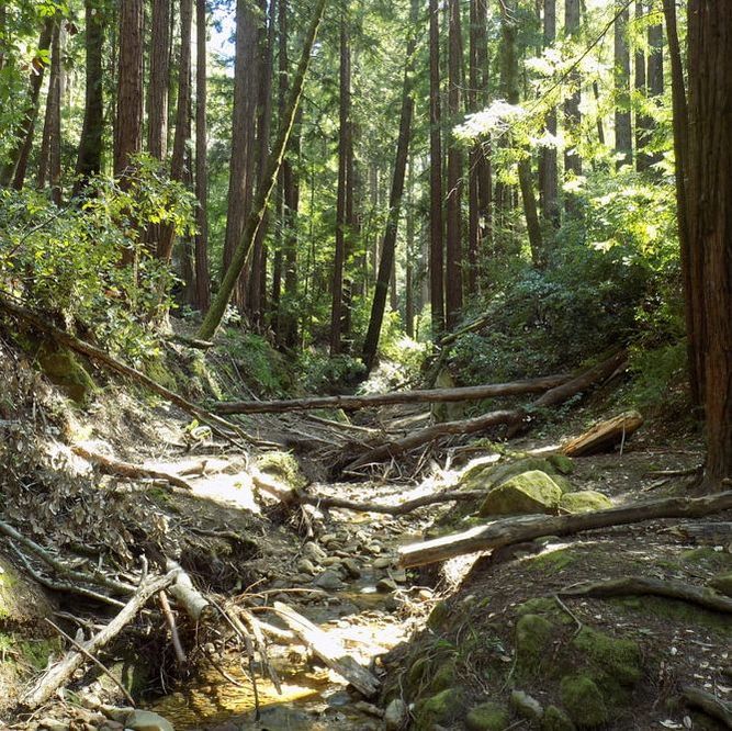
Huddart Park
|
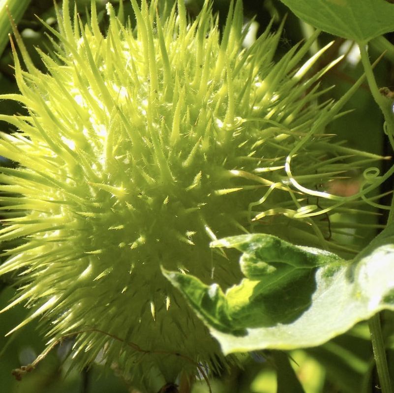
Jasper Ridge Biological Preserve
|
Pearson Arastradero Preserve
|
Phleger Estate
|
Pulgas Ridge Preserve
|
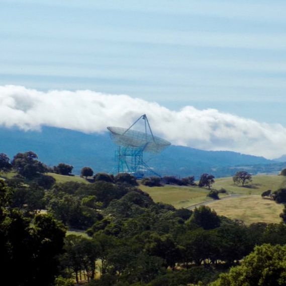
The Stanford Dish
|
Thornewood Preserve
|
Windy Hill Preserve
|
Wunderlich County Park
|
