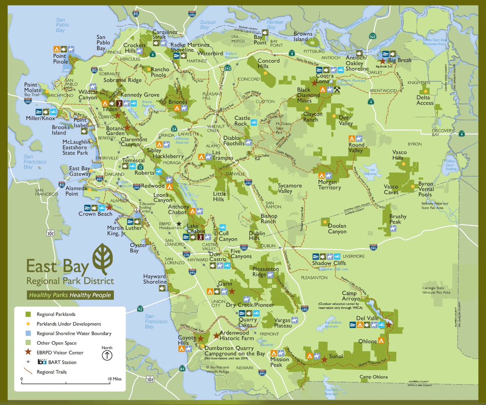
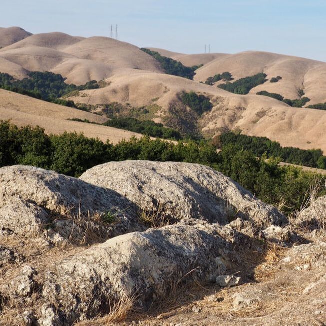
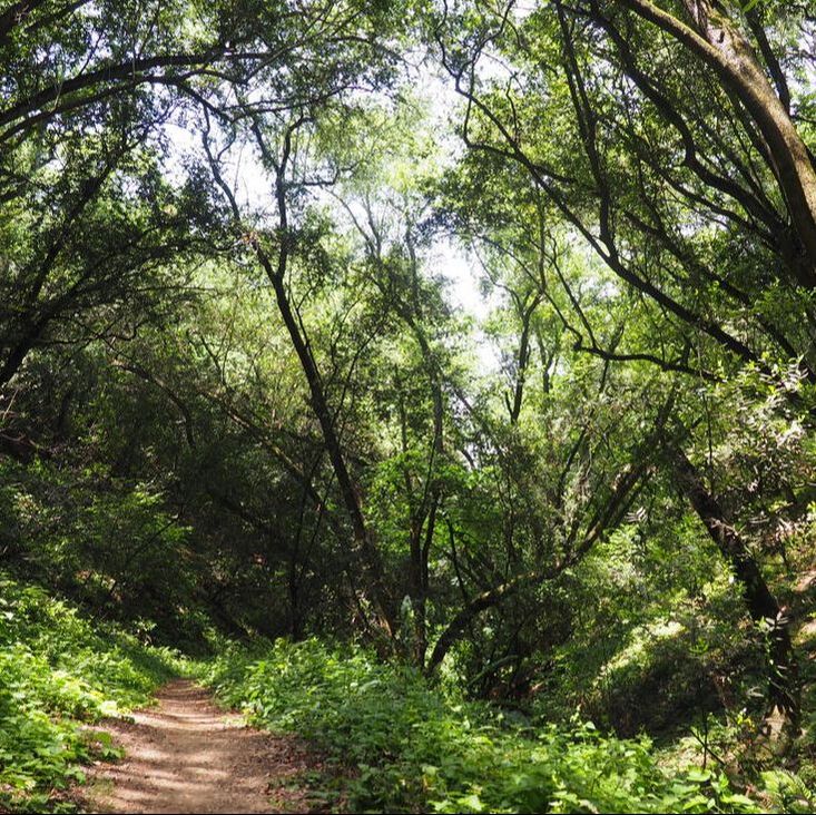
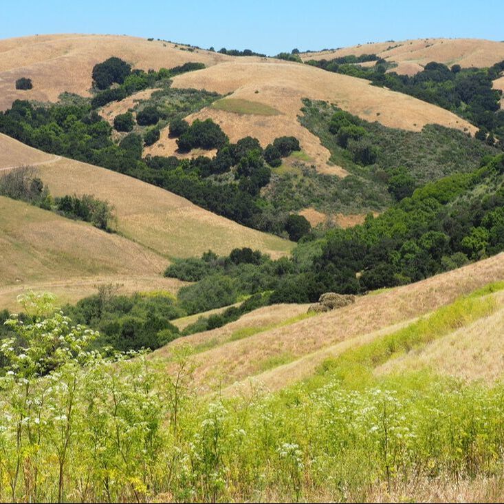
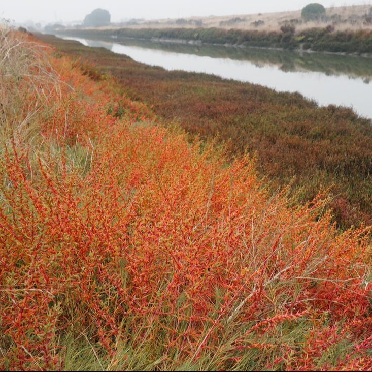
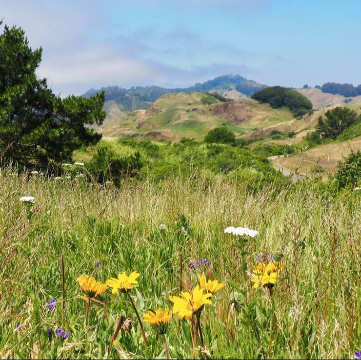
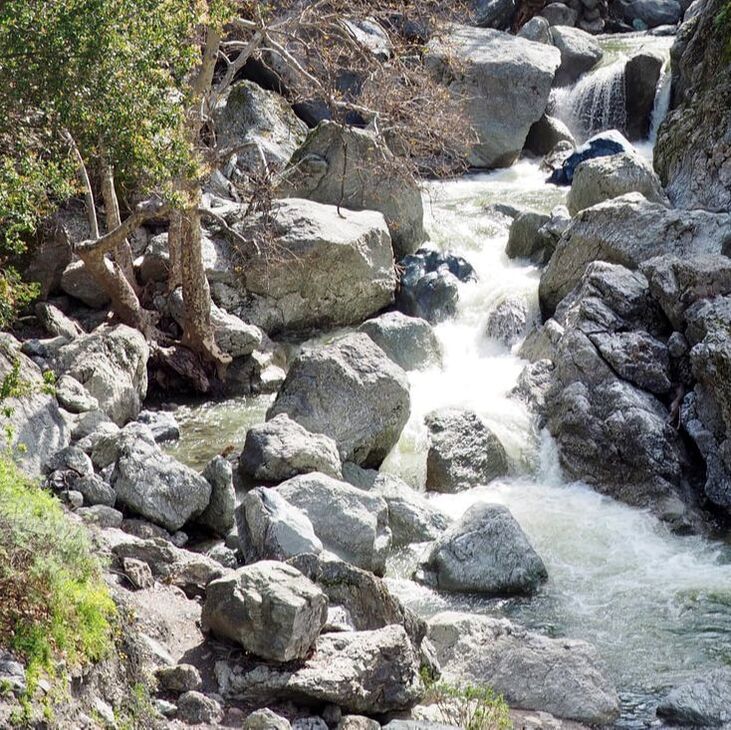
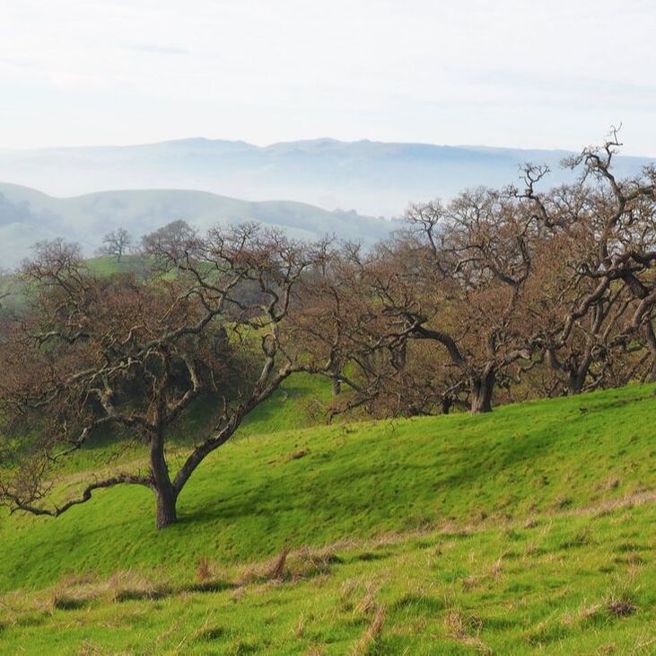
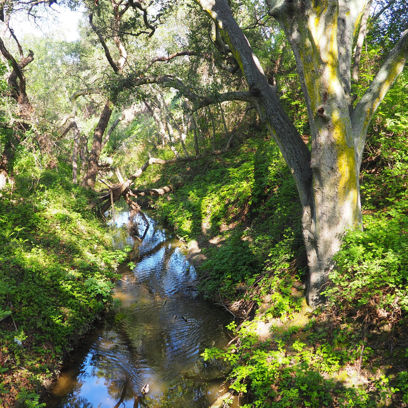
East Bay Regional Park District
This park district serves Contra Costa and Alameda Counties in the East Bay of the San Francisco Bay Area. Here is the link to the website for the EBRPD. The district comprises almost 125,000 acres in 73 parks, including over 1,250 miles of trails.
|
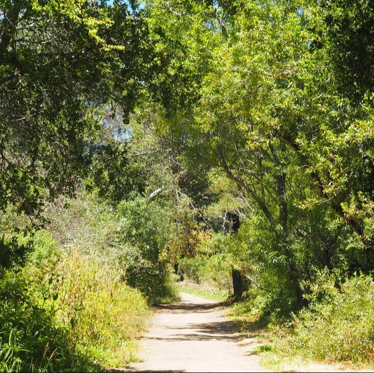
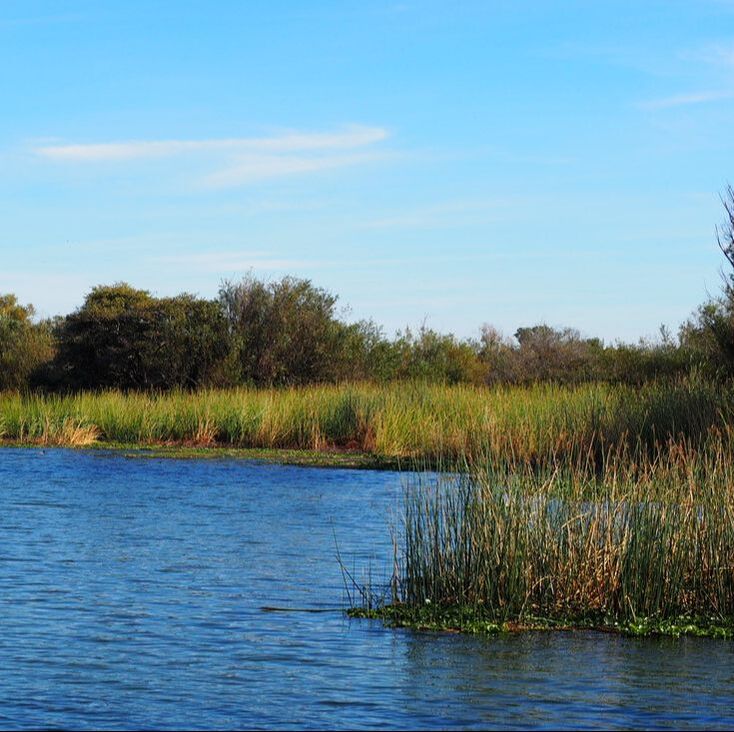
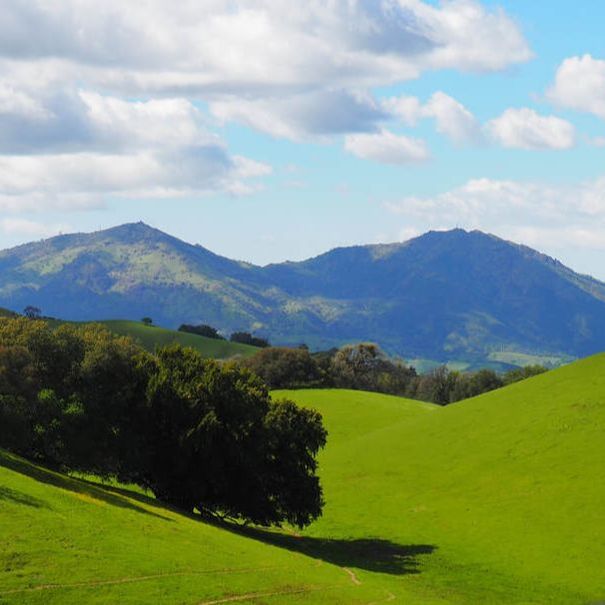
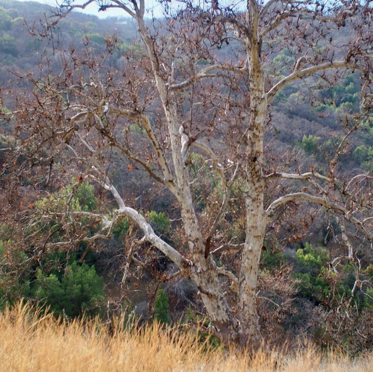
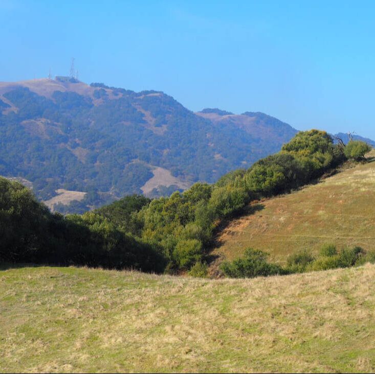
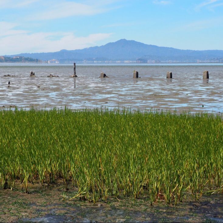
Park visited (click on photos)
|
|
|
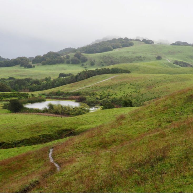
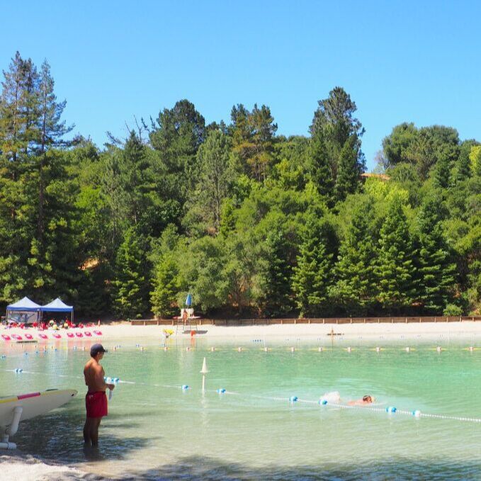
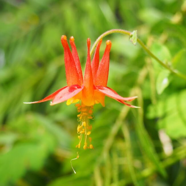
Anthony Chabot
|
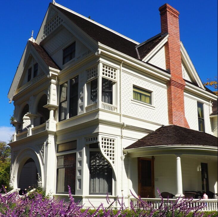
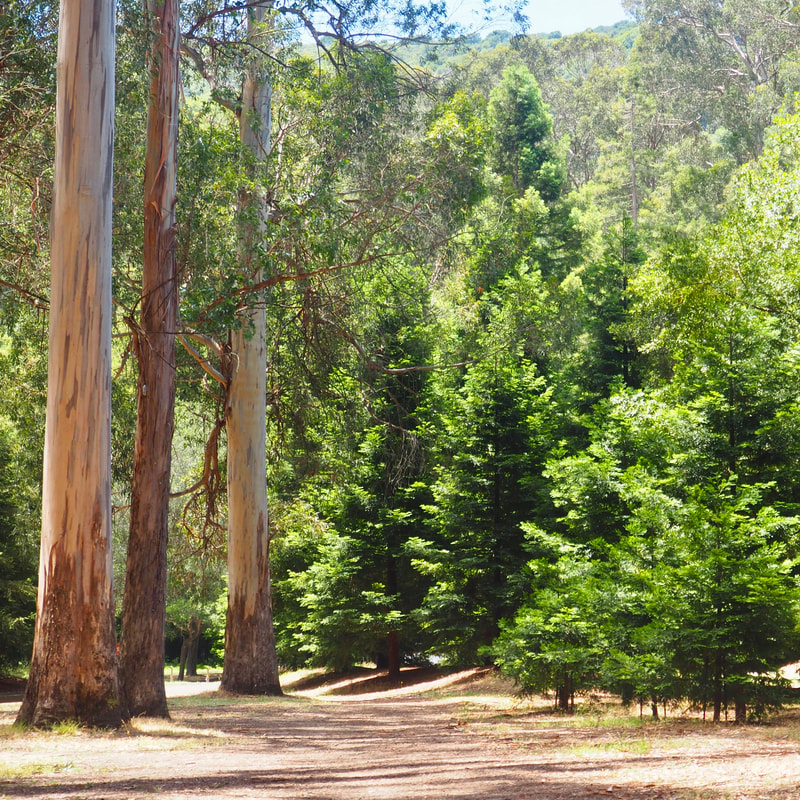
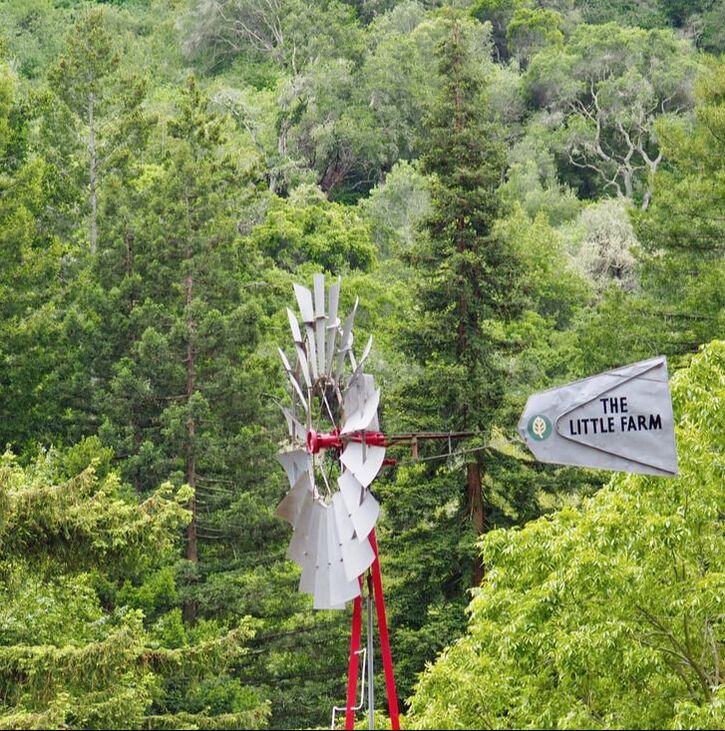
Ardenwood Historic Farm
|
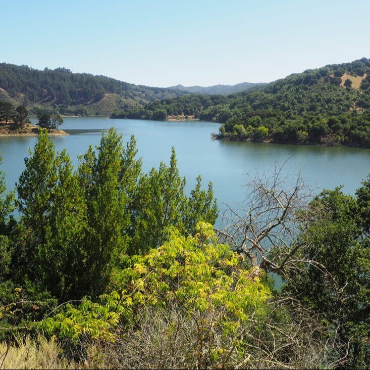
Big Break
|
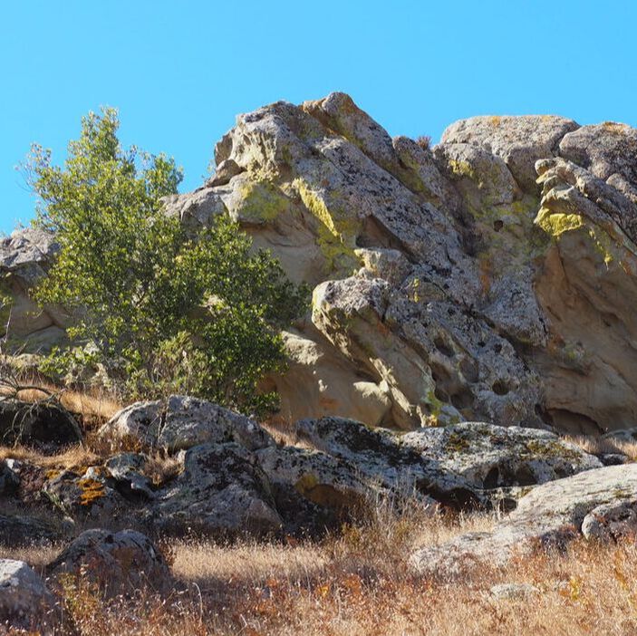
Bishop Ranch
|
Briones Regional Park
|
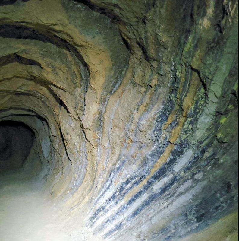
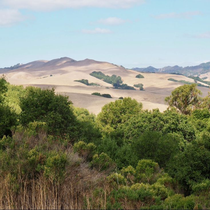
Black Diamond Mine Preserve
|
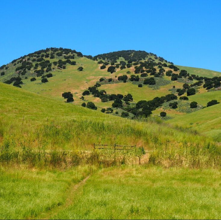
Brushy Peak
|
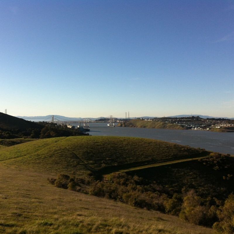
Carquinez Strait/Crockett Hills
|
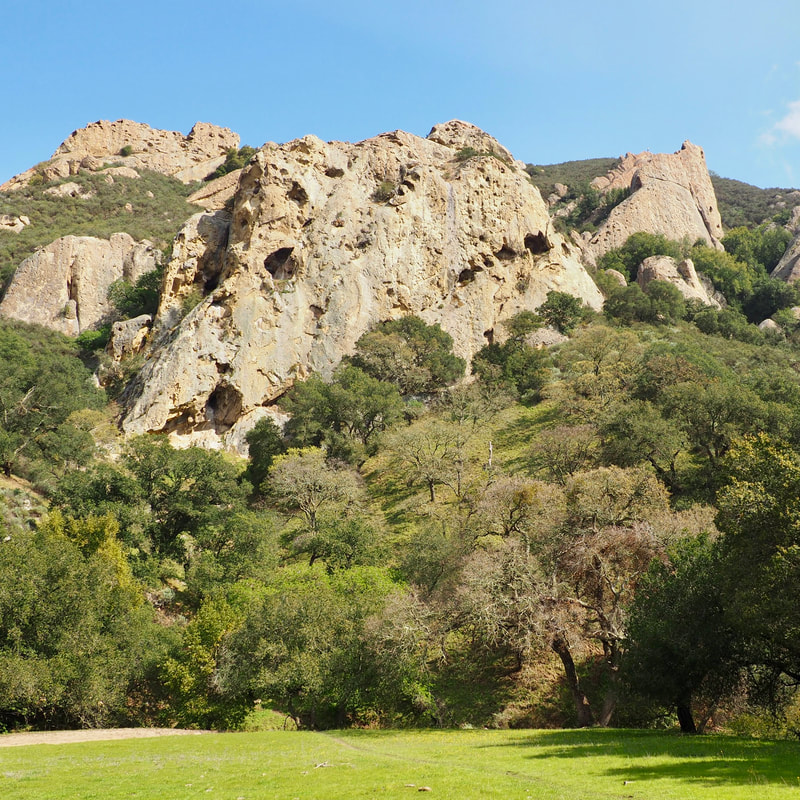
Castle Rock
|
Contra Loma
|
Coyote Hills
|
Cull Canyon
|
Diablo Foothills
|
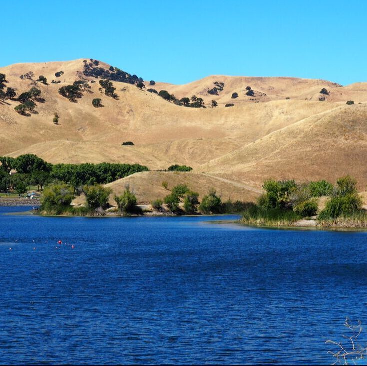
Del Valle
|
Don Castro
|
Dublin Hills
|
Five Canyons
|
Garin/Dry Creek Pioneer
|
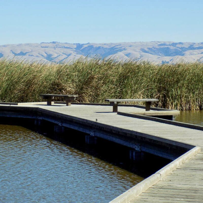
Hayward Regional Shoreline
|
Huckleberry Botanic
|
Kennedy Grove
|
Lake Chabot
|
Las Trampas
|
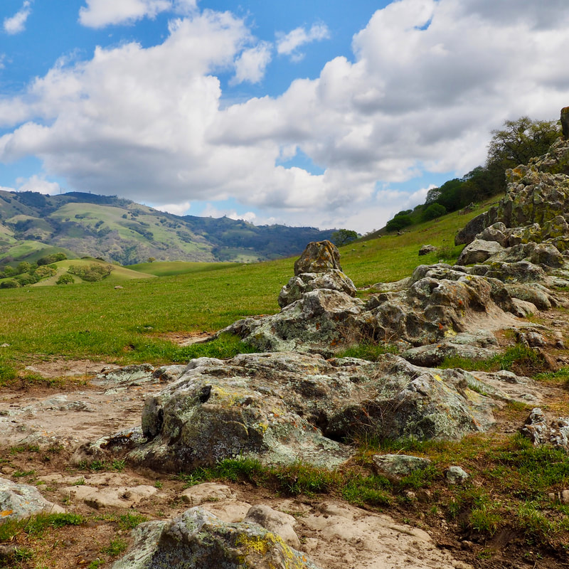
Morgan Territory
|
Ohlone Regional Wilderness
|
Pleasanton Ridge
|
Point Pinole
|
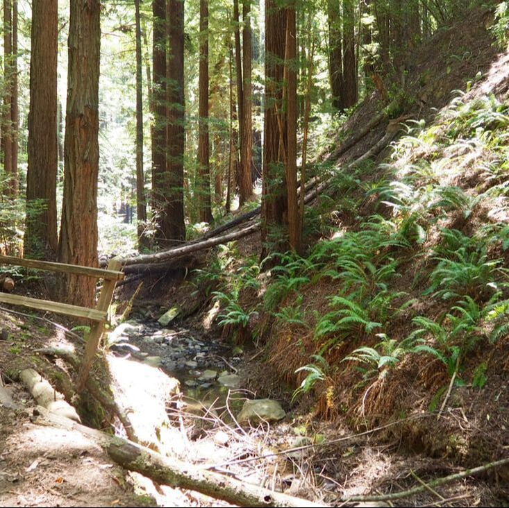
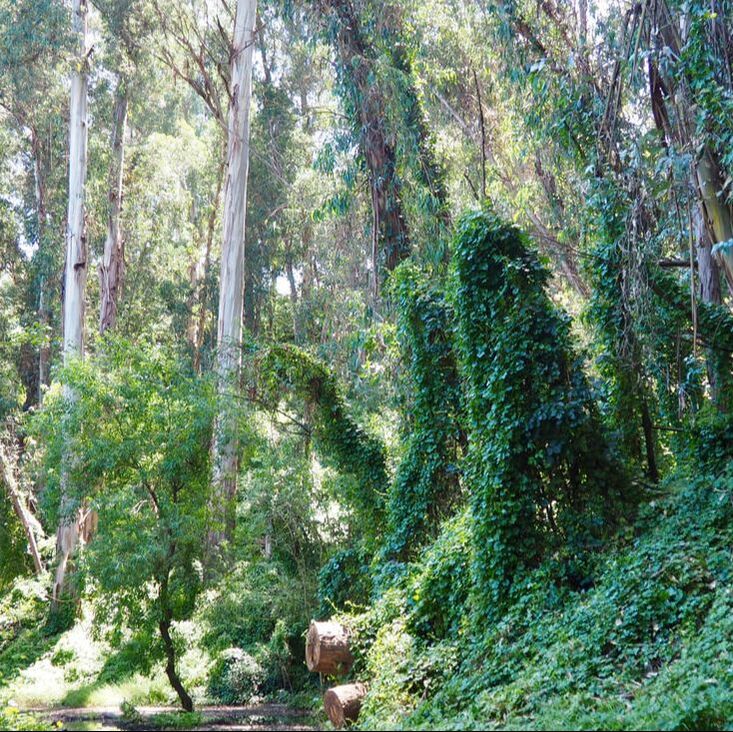
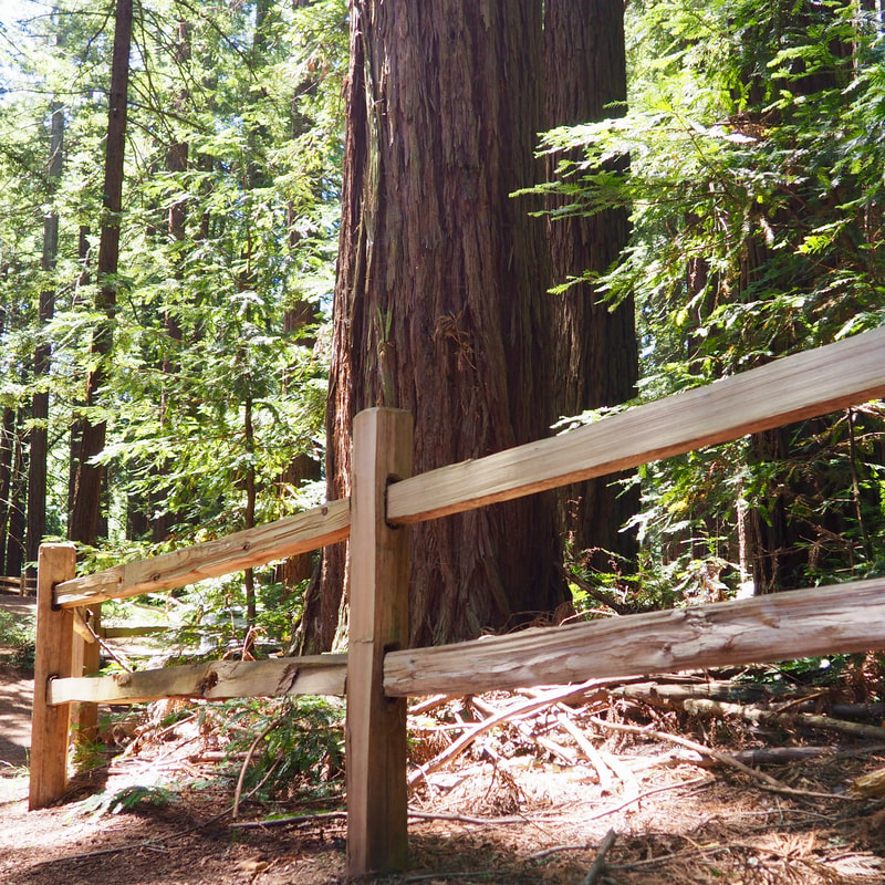
Reinhardt Redwood
|
Roberts
|
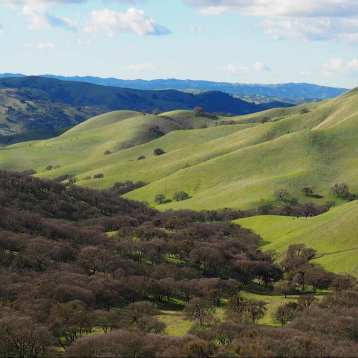
Round Valley
|
Shadow Cliffs
|
Sibley Volcanic
|
Sunol
|
Sycamore Valley
|
Tassajara Creek Regional Park
|
Tilden
|
Vargas Plateau
|
