Lonely Hiker
  • Home
  • About
  • Regions
  • Parks
  • Trails
  • Photography

Trails

Roberts Redwood Regional Park

7/2/2020

2 Comments

 
Picture
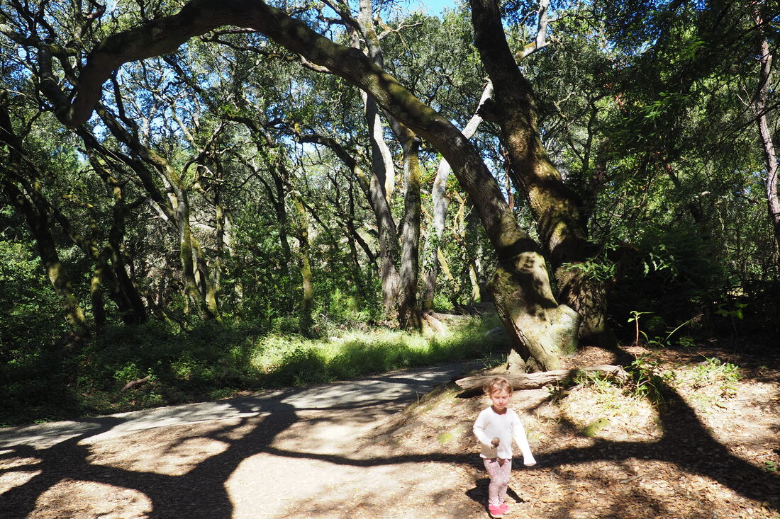
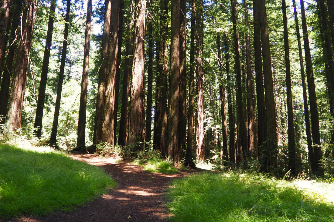
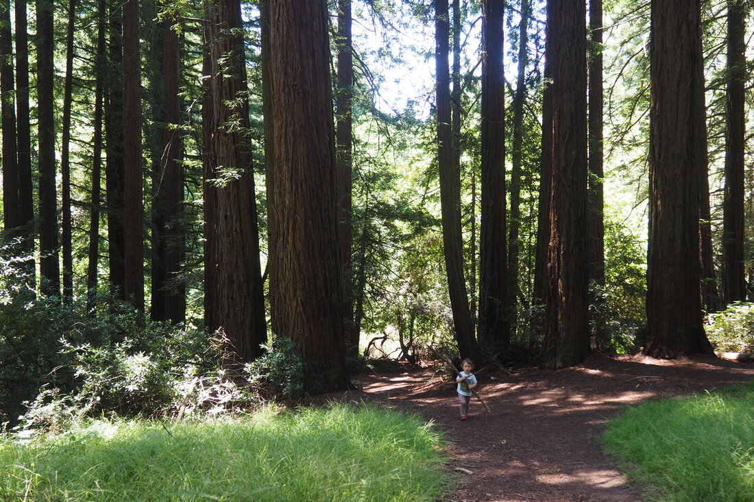
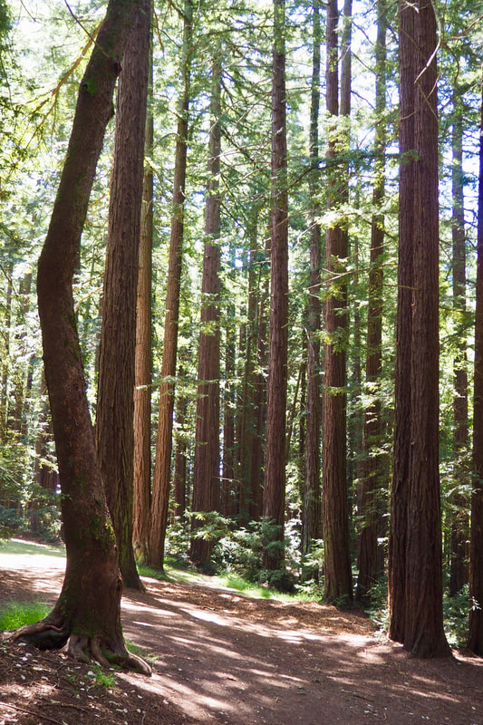
Roberts Redwood Regional Park (tucked in between Joaquin Miller Park and Reinhardt Regional Park in Oakland) is a wonderful park for families. My daughter and I explored this park together for the first time ever today on an easy hike.
Picture
Picture
Picture
Picture
Currently, the main entrance to the park is closed out of precaution for the COVID-19 pandemic (link); however, the park is open for walk-in access. We parked at the Redwood Bowl staging area near Chabot Space Center (in Reinhardt Redwood). We took the paved trail uphill and then veered to the right to head towards the Rotary Day Camp. We cut through the camp to get to the signed intersection; from there, we took a right  to  walk on Roberts Ridge Trail for about 0.25 miles. This is one of the two ways to walk into Roberts Redwood Park from the Redwood Bowl parking lot.
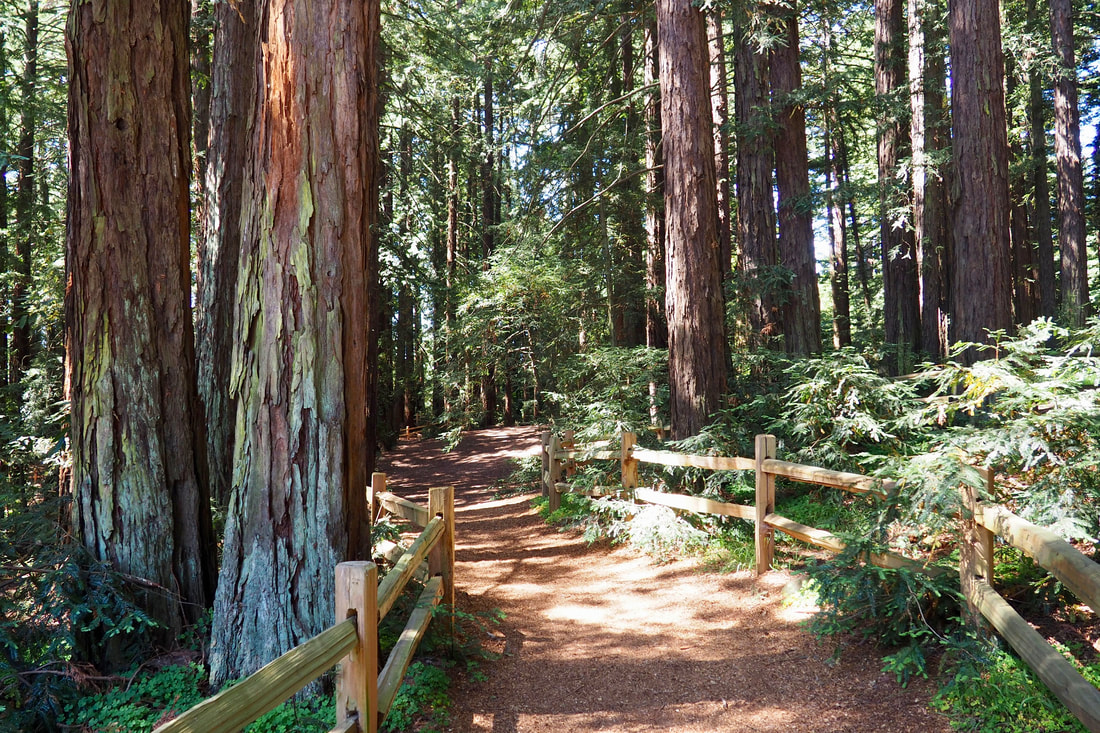
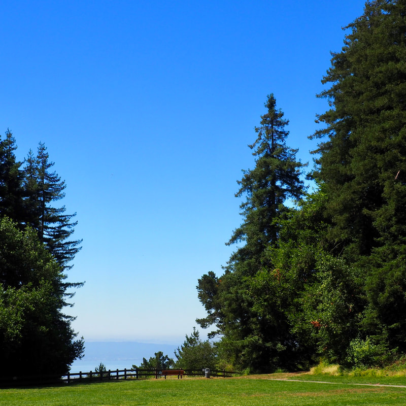
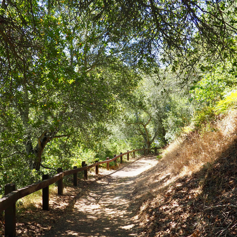
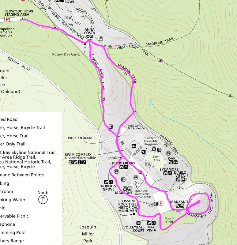
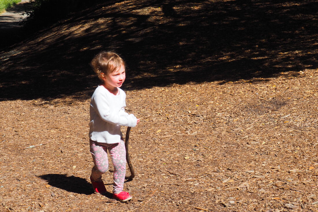
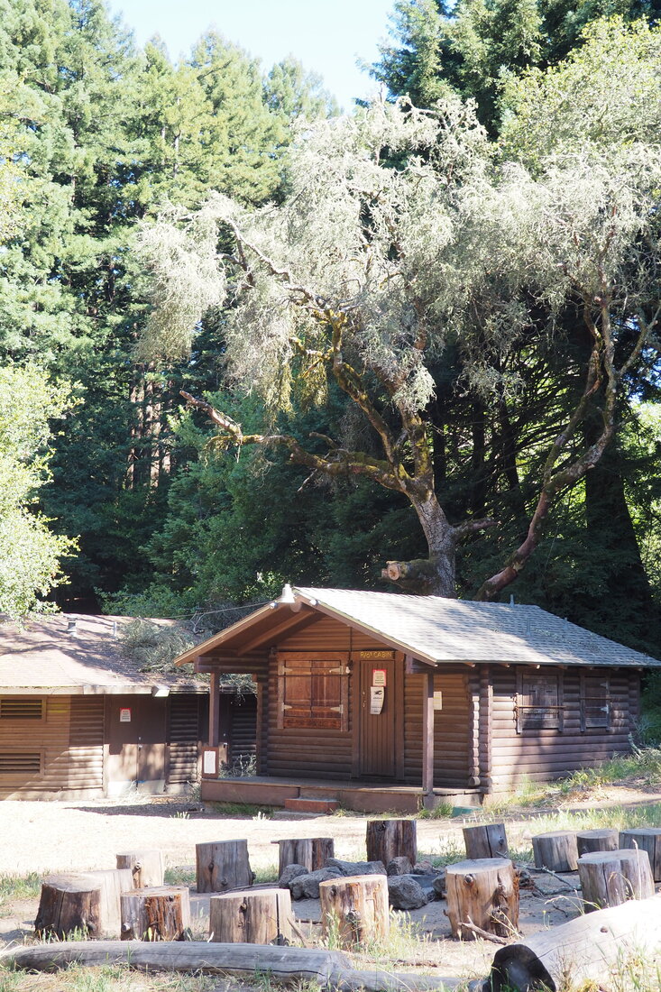
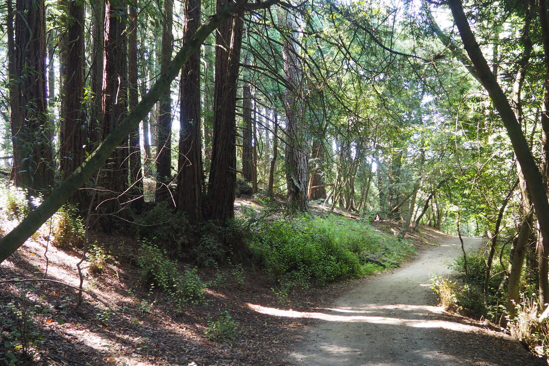
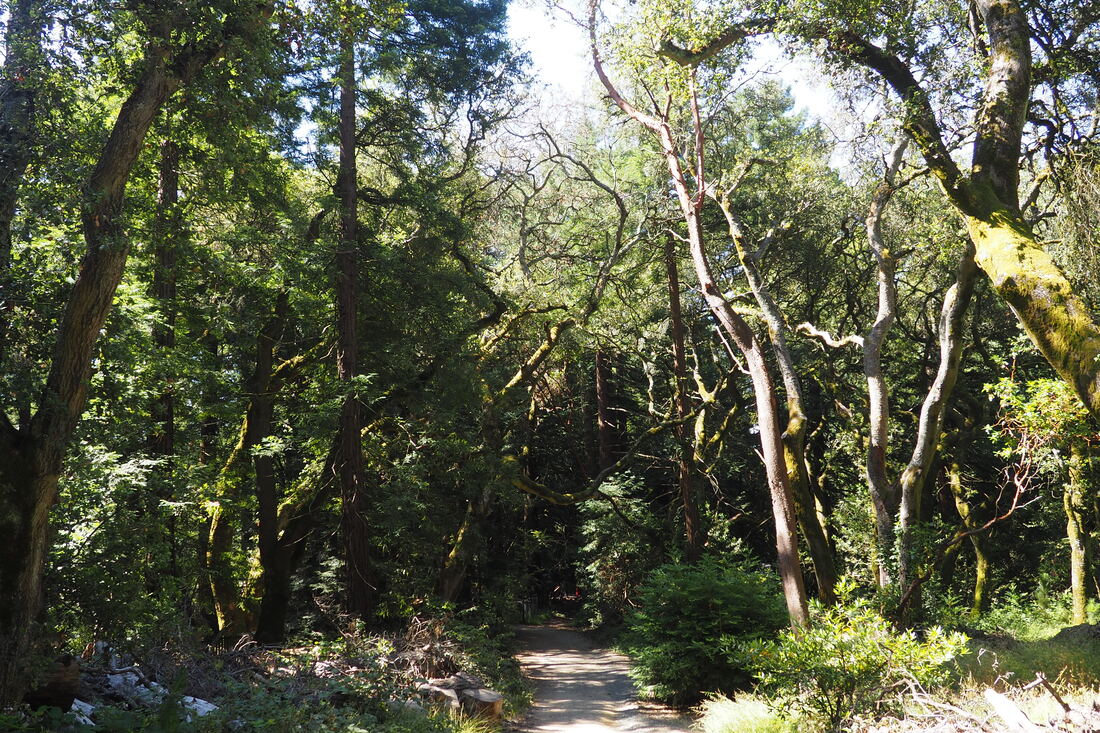
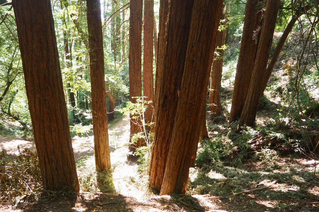
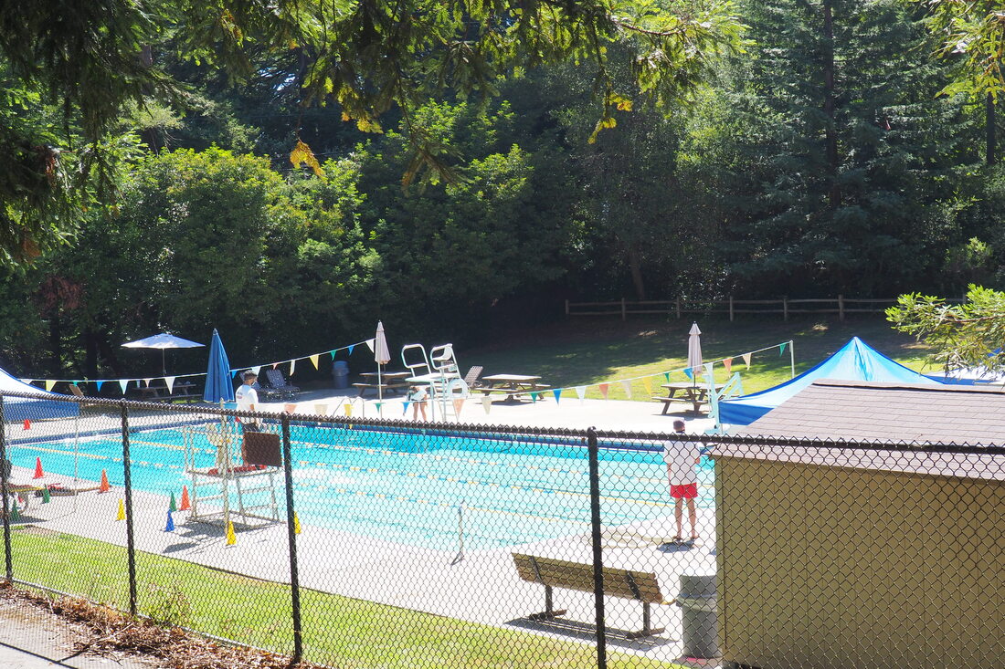
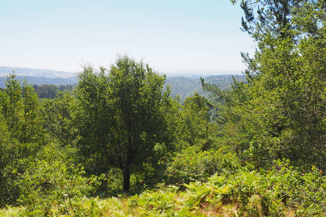
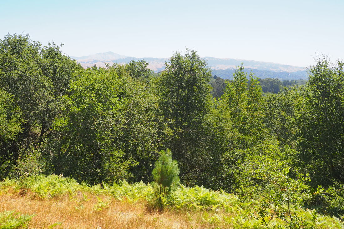
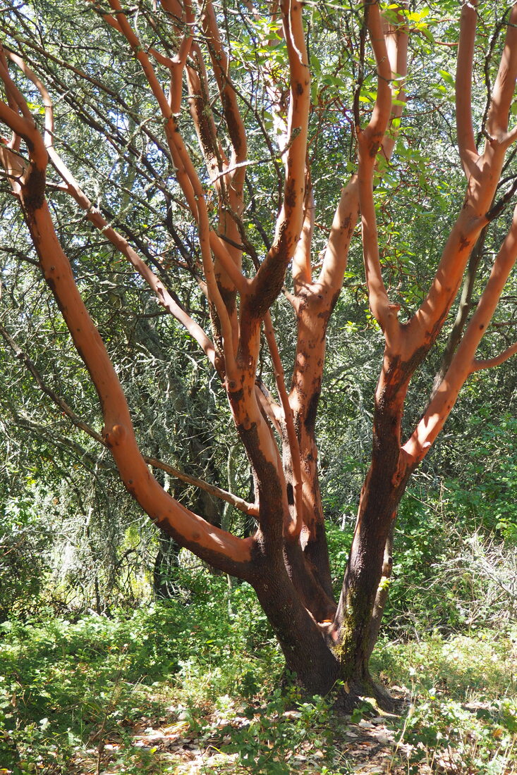
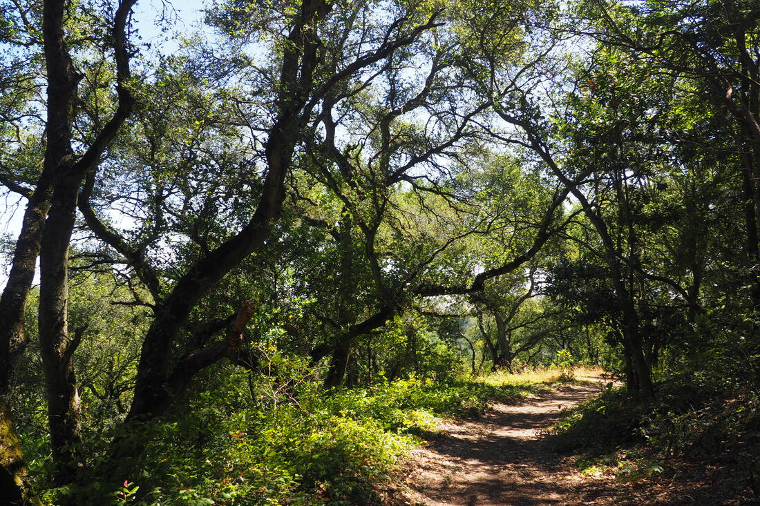
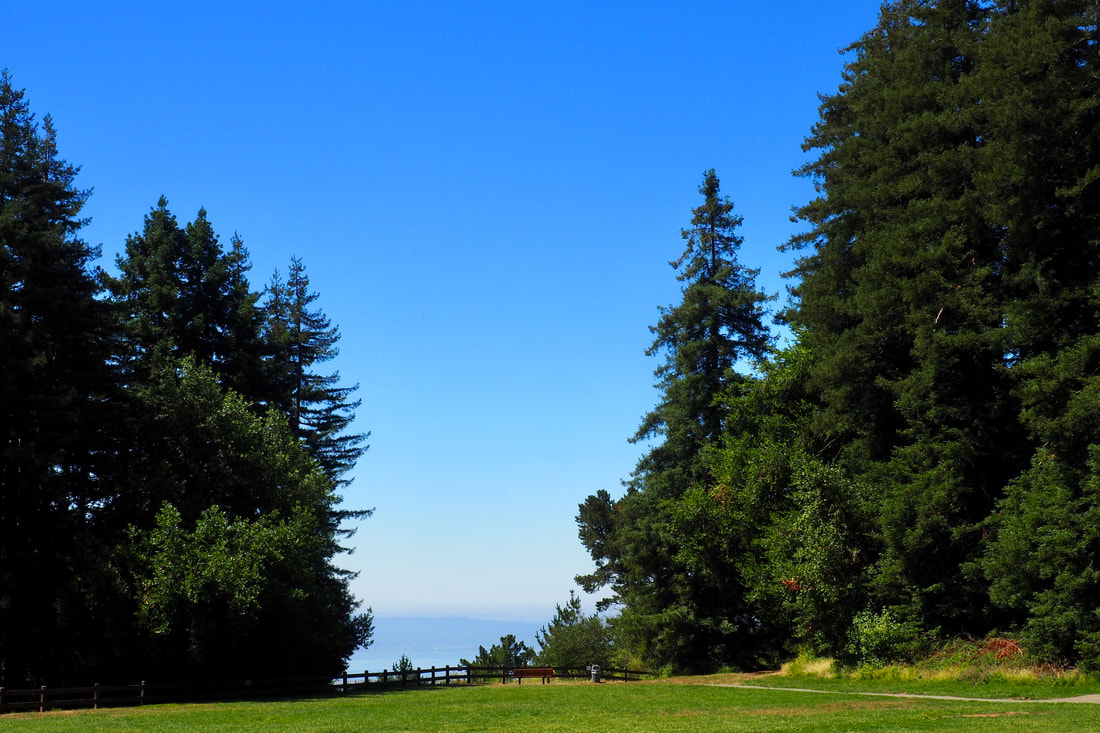
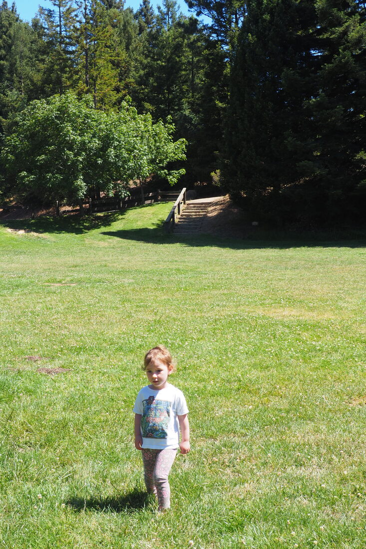
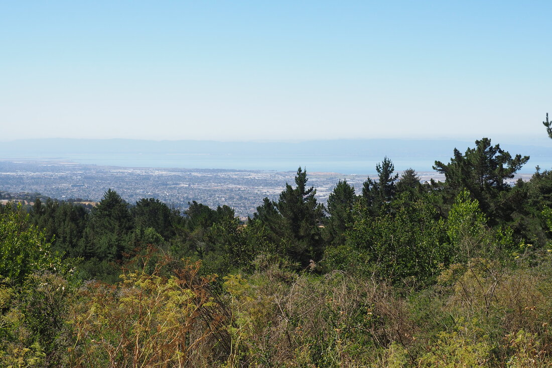
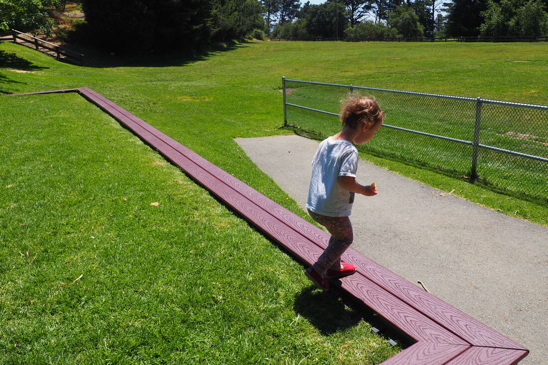
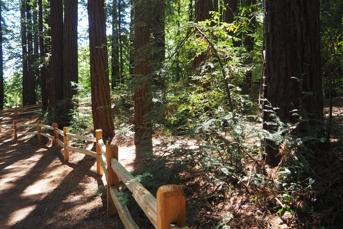
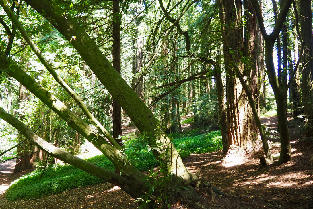
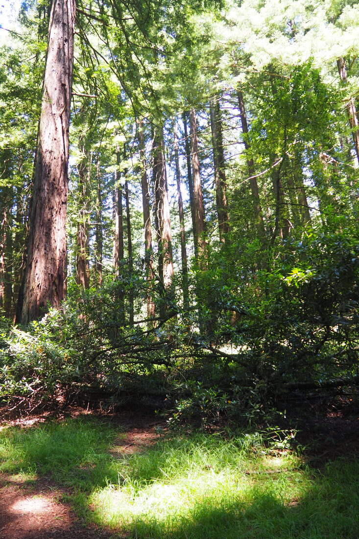
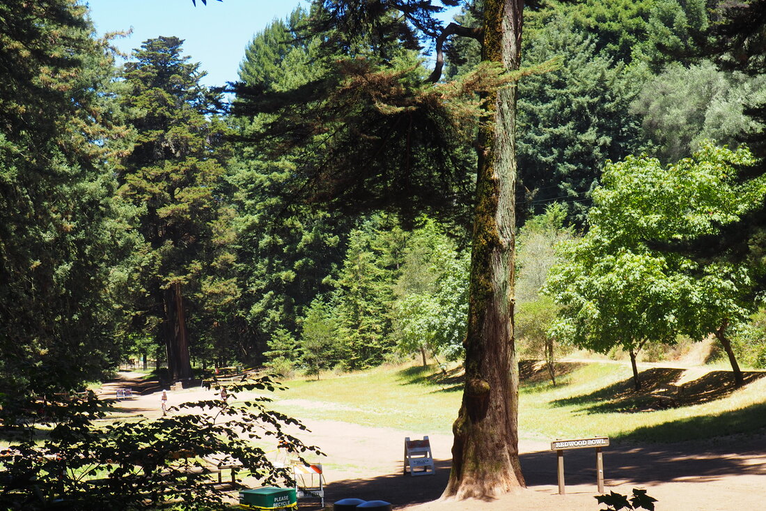
This series of intersections is a little confusing because there are a lot of unmarked trails that hikers and bikers have cut over the years. It's a good idea to keep your eyes out for the official trail markers so you don't get turned around.

As we were entering into Roberts, we saw the swimming pool and the playground. Both are closed for now, but that's fine. I'm ok to do my part--the recent spikes in COVID cases around the country have been frightening. It's just something to keep in one's back pocket for another summer when we are past this virus. I'm looking forward to that day, because this park looks like it would be an amazing place to bring the family for a day of summer fun. There are really nice picnic areas under the redwoods, a really cool looking playground, a pool, and a beautiful green lawn for playing sports.

My daughter and I just walked through the parking lot to access the Manzanita Loop Trail, which is very short and mostly flat. The trail to the little knoll in the middle offers impressive views of the major mountains of the Diablo range to the east: Mount Diablo, the ridges of Las Trampas, Pleasanton Ridge, Maguire Peaks, Mount Hamilton. and Mount Rose. There is a helpful panel to help you identify each of them. After completing the easy, most level loop, my daughter and I had a little picnic on the grass of the sports lawn because all the picnic tables are closed. From our bench on the sports lawn we could see the San Francisco Bay to the west. We then meandered through the redwood grove to check out all the points of interest until we made our way back to the kiosk of the park.

The inauspicious connector to Graham Trail skirts around the left side of the Park Office. We took that connector, and then turned left to get on Graham Trail heading north back towards the Redwood Bowl.

I really appreciated that most (but not all) of this hike was flat. This figure-eight loop was probably only about a mile and a half, but my daughter hiked most of it herself because she's getting a little big for me to carry her in the backpacking carrier. I really felt it every time I had to climb uphill even a little when she was in the carrier. This whole park seems to be designed for accessibility. It's really cool how thoughtful the East Bay Regional Park District was in planning the park to make it so that even people in wheelchairs can fairly easily get to explore the redwoods.
2 Comments
Jodie Appell
11/4/2023 12:01:16 am

hi, don't know if you will get this, i just found your lonely hiker site.
I'm trying to find how to get to this lovely manzanita loop trail and
the Roberts ridge trail in Joaquin Miller and Redwood park.
Its just so hard for me to follow your written words, esp since covid
is over. Maybe i can find a map, will try. I'm a senior with limited
walking and the trail with the little fence railing is just so pretty!
Am confused as to if this is the Roberts Ridge or how the two connect. I want to go on simple trails but never know where
to find them in these parks. Thanks, Jodie

Reply
Claire Dawkins
11/6/2023 02:23:00 pm

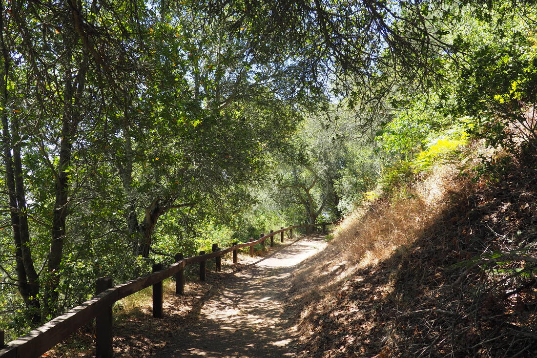
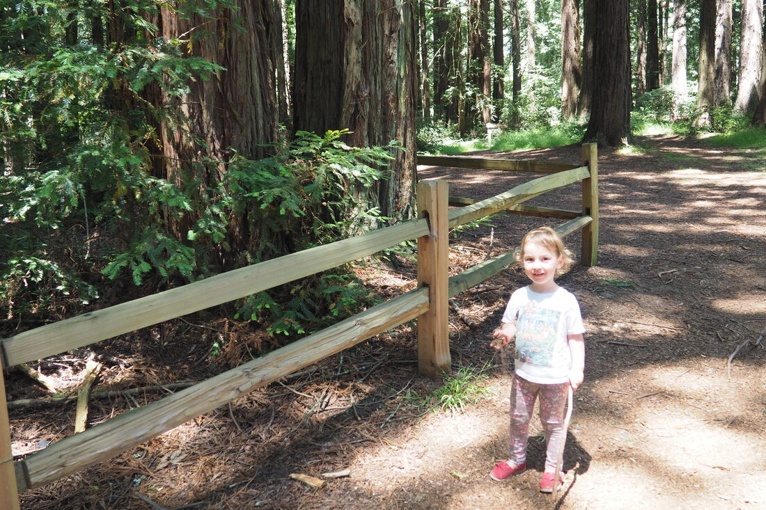
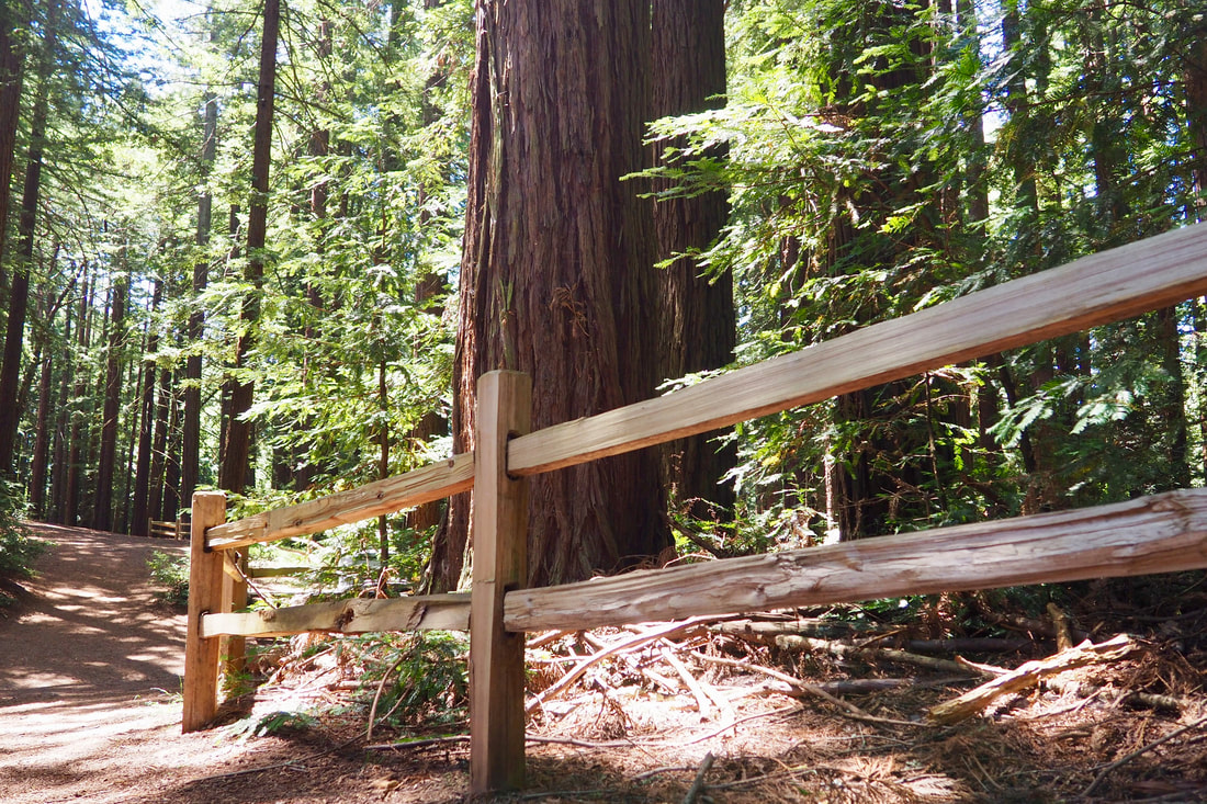
Hi Jodie, The easiest way to get to the area with the pretty fence railing would be to drive into Roberts Regional Recreation Area and park in one of the main parking lots. Follow the signs to the ADA Accessible Picnic spots and you will see where to go from there.

Reply


Leave a Reply.

    Archives

    December 2020
    November 2020
    October 2020
    September 2020
    August 2020
    July 2020
    June 2020
    May 2020
    April 2020
    March 2020
    February 2020
    January 2020
    December 2019
    November 2019
    October 2019
    September 2019
    August 2019
    July 2019
    June 2019
    May 2019
    April 2019
    March 2019
    February 2019
    January 2019
    December 2018
    November 2018
    October 2018
    September 2018
    August 2018
    July 2018
    June 2018
    May 2018
    April 2018
    March 2018
    February 2018
    January 2018
    November 2017
    October 2017
    September 2017
    August 2017
    April 2017
    March 2017
    February 2017
    January 2017
    November 2016
    October 2016
    September 2016
    August 2016
    July 2016
    June 2016
    May 2016
    April 2016
    March 2016
    February 2016
    January 2016
    December 2015
    November 2015
    October 2015
    September 2015

    Categories

    All
    Art Expedition
    Bay Laurel Trees
    Bayside
    Beaches
    Berkeley City Parks
    Bureau Of Reclamation
    Camping
    Cliffs
    Coastside
    Contra Costa Water District
    Creeks
    Deserts
    East Bay Municipal Utility District
    East Bay Regional Park District
    EBRPD Trails Challenge
    Eucalyptus
    Flat Hikes
    Gulf Coast Family Vacation
    Historical Sites
    Kid Friendly
    Lakes
    LARPD
    Length: 10 To 15 Miles
    Length: 15+ Miles
    Length: 1 To 5 Miles
    Length: 5 To 10 Miles
    Madrones
    Manzanita
    Maples
    Marin County Parks
    Midpeninsula Regional Open Space Preserves
    Mountains
    Museums
    National Forest Service
    National Parks
    National Wildlife Refuge
    Oakland City Parks
    Oaks
    Palo Alto & Atherton Parks
    Peninsula Open Space Trust
    Pleasanton City Parks
    Portola Valley Town Trails
    Redwoods
    Rocks
    San Francisco City Parks
    San Mateo County Parks
    Santa Clara County Parks
    Santa Cruz City Parks
    Sierras
    Stanford
    State Parks
    Swimming Holes
    Sycamores
    Trains
    Tri-Valley
    UC Berkeley
    UC Davis
    Walnut Creek Parks
    Wetlands
    Wildflowers
    Wildlife
    Zoos Farms & Wildlife Preserves

    RSS Feed

Powered by Create your own unique website with customizable templates.
  • Home
  • About
  • Regions
  • Parks
  • Trails
  • Photography