|
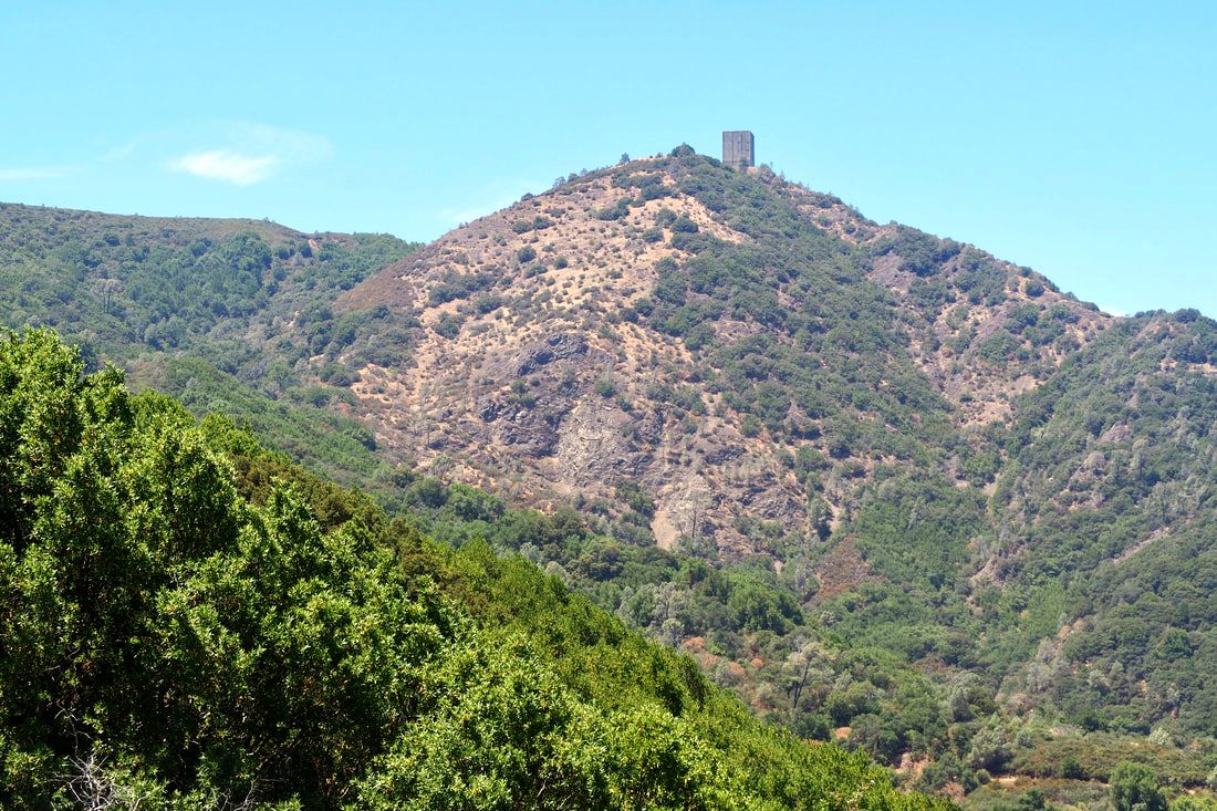
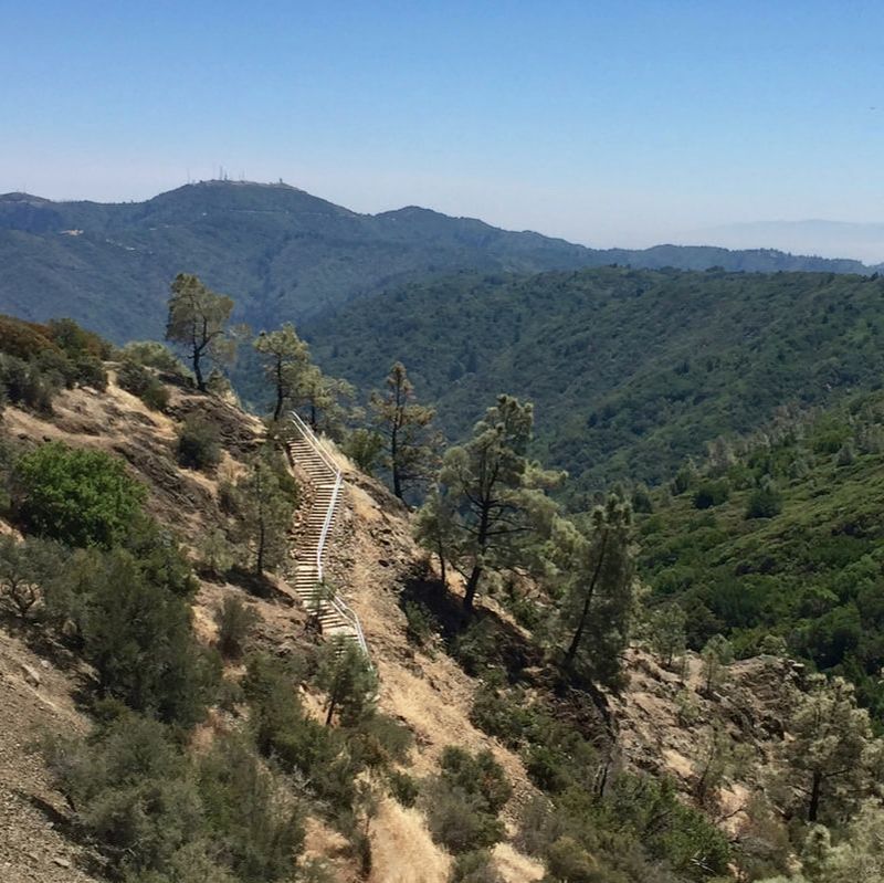
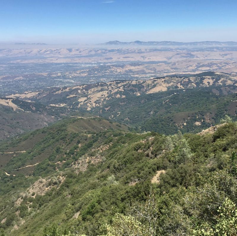
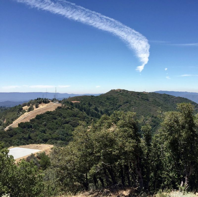
Mount Umunhum is part of the Sierra Azul Open Space Preserve, run by Midpen. This part of the park was opened to the public in September of 2017 after a long period of restoration; it had been closed to the public since the 1950s when it was used as an air force station and radar surveillance post. There are lots of trails of various levels of difficulty, but I had my baby with me in a stroller when I went, so I drove to the summit and just did the ADA accessible trail around the summit. It was really cool to be so high up (3,486 feet), because the ecosystems up there are just different from the lower elevations. This makes it "an island in the sky."
0 Comments
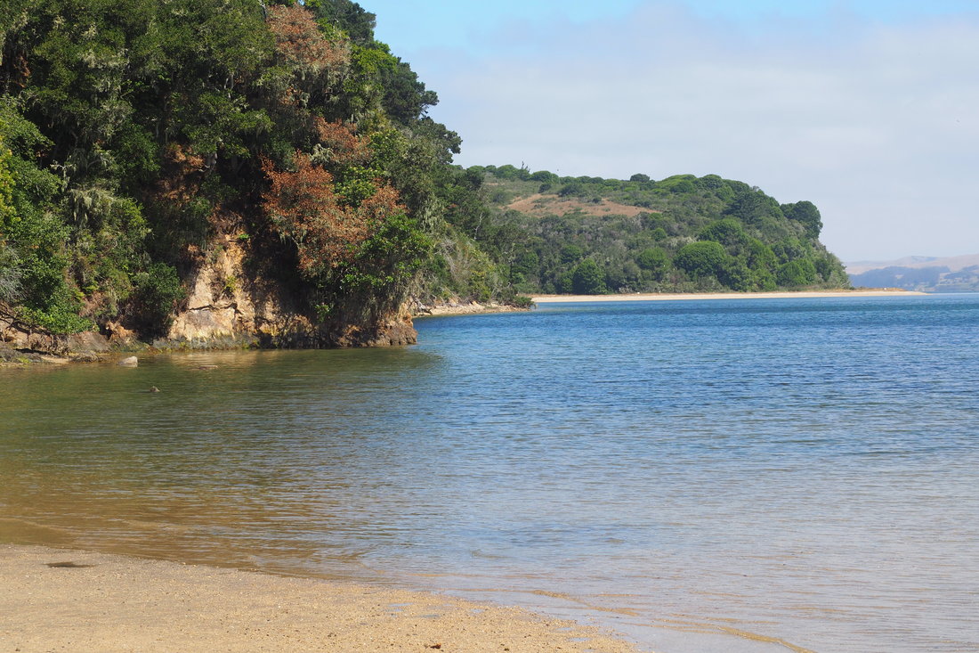
Tomales Bay State Park flanks both sides of the eponymous bay. My family and I visited Heart's Desire Beach on our recent trip to Point Reyes National Seashore, which is on the western side of the bay. This was a GREAT trip for us! We grabbed a bag of oysters from the Tomales Bay Oyster Company before heading out, and we got to the beach early. Our early departure was mostly because of the internal clock of our one-year old, but it really worked in our favor because this park got crowded after about noon.
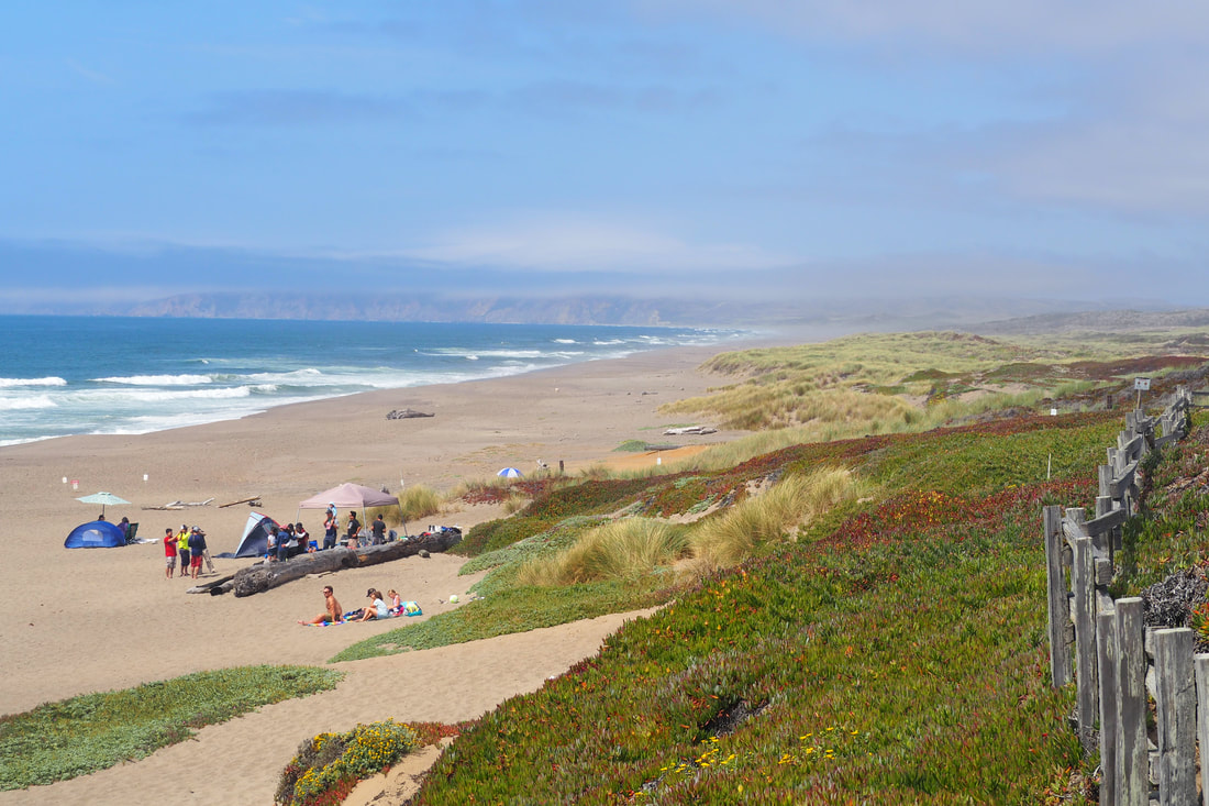
In the morning, however, it was relatively calm in terms of the human population and it was incredibly calm in terms of the water conditions. The beach is protected from the wind and the water is shallow, so the conditions are perfect for swimming and wading. It's a great place to picnic as a family! "North Beach" on the map of Point Reyes National Seashore is actually the north parking lot to access the Great Beach (also called Point Reyes Beach), an incredible expanse of over 11 miles of undeveloped shoreline.
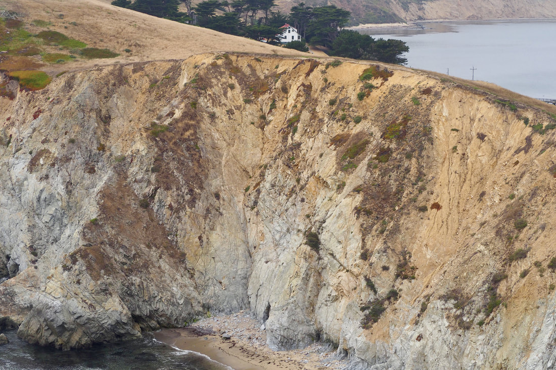
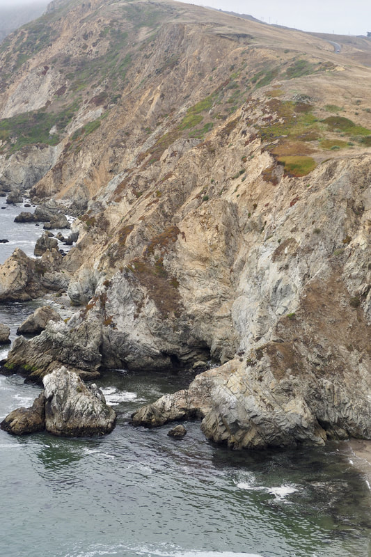
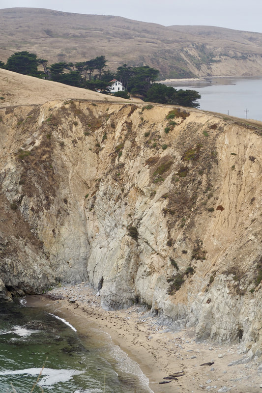
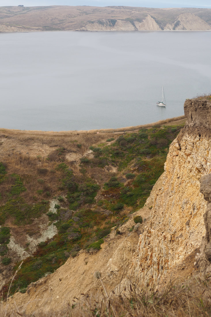
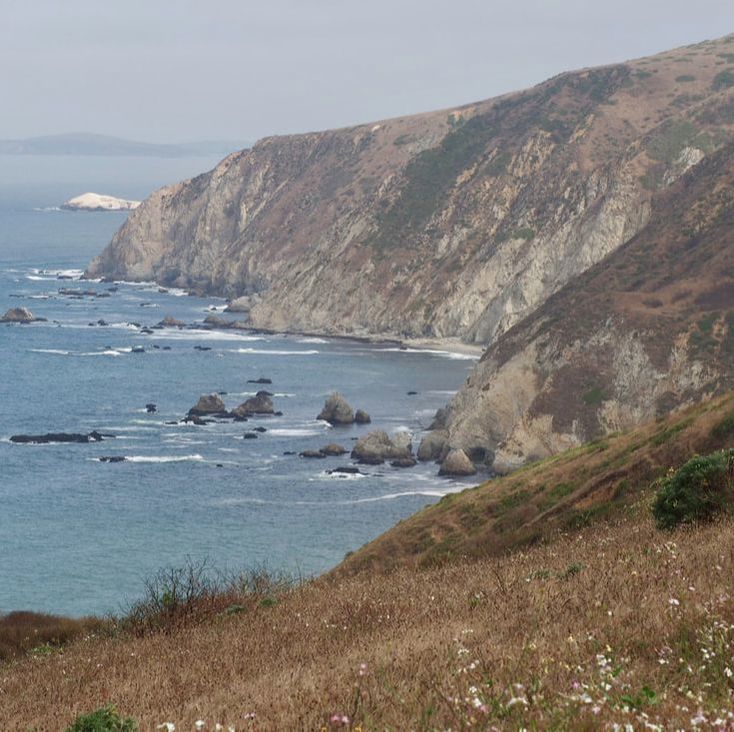
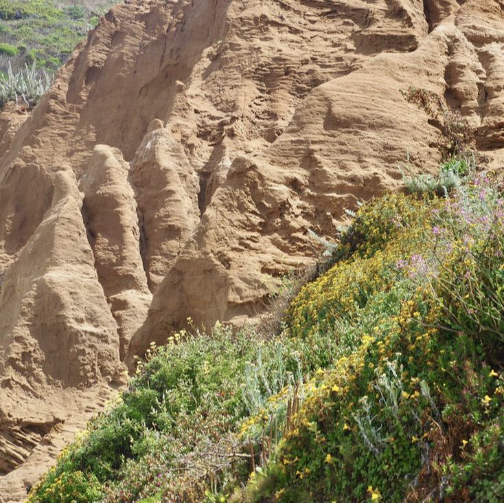
Chimney Rock is a popular destination in Point Reyes National Seashore. It's best to go see it in the spring, when it is covered in wildflowers; however, this easy in-and-out hike (2 miles roundtrip) is fun year round. I went on a summer day that was split between fog and sunlight. There was a dense fog rolling in, hitting closer to the historic lighthouse, while the sun was still breaking through and lighting up the white sandstone cliffs of Drakes Beach. The light made for really dramatic photos of an already dramatic landscape! To top it all off, I was treated to the sight of a few elephant seals even though it was not the season for them. I definitely want to come back to this wonderful spot!
My family and I had a great time at the far north end of Point Reyes National Seashore! Click "read more" to see maps, trail descriptions, and more photos after the jump.
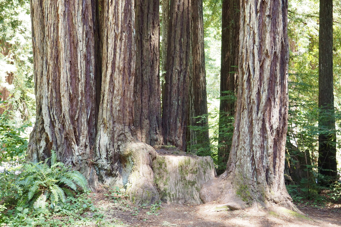
Samuel P. Taylor State Park is a family favorite! It's easy to drive right past because it is on the way to both Tomales Bay and Point Reyes National Seashore; however, it is well worth it to stop and explore this park.
This post is another pull from the archives, this time from my first trip to Tilden Regional Park in Berkeley in 2013. I am moving to the East Bay later this month, and I am starting to get excited about the new areas to explore!
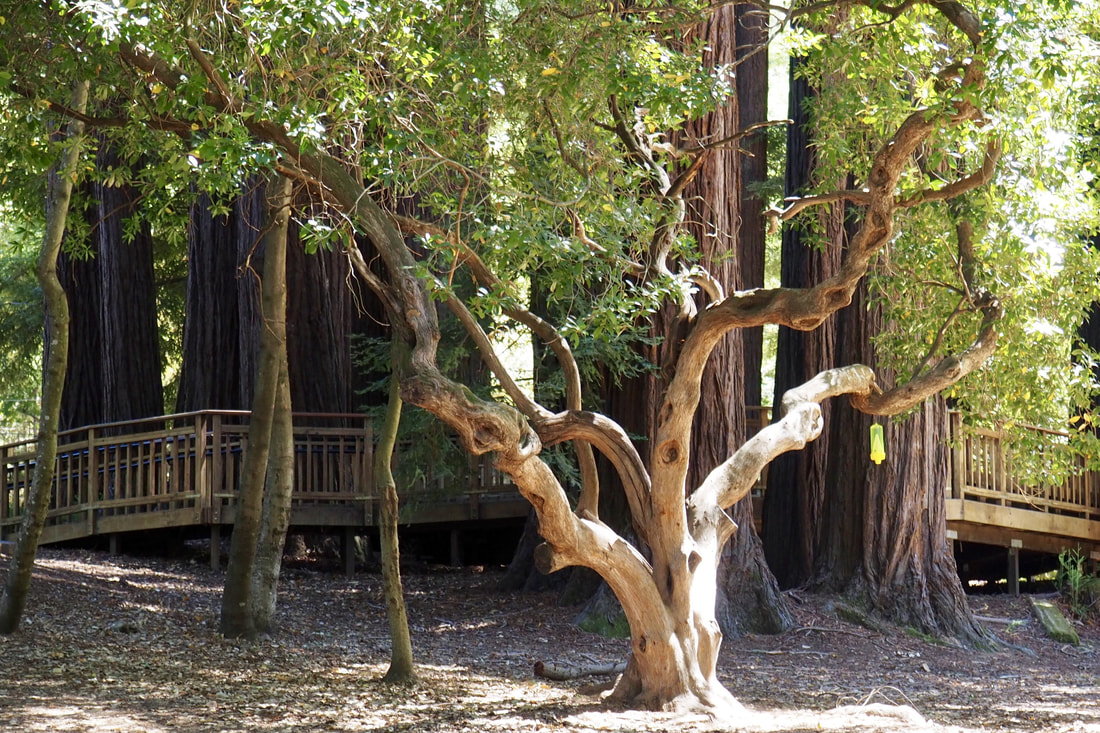
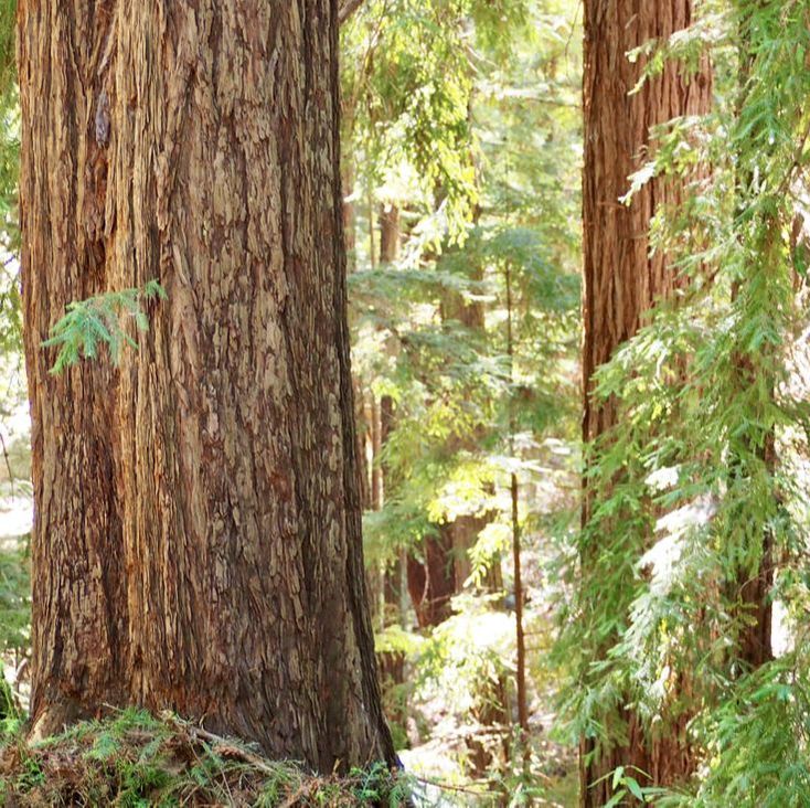
Sanborn County Park is near the charming town of Saratoga, off of Highway 9 (the road to Big Basin). It may be the quickest way for the majority of Silicon Valley residents to get to the redwoods; however, its location on Highway 9 probably means that many people are planning to bypass it for the famous state park. The park today was really quiet except for a group of very happy school children enjoying summer camp at the Youth Science Institute.
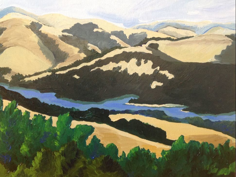
Sierra Azul is the largest preserve in the Midpeninsula Regional Open Space District (MROSD). Here is the blurb on the park from their website:
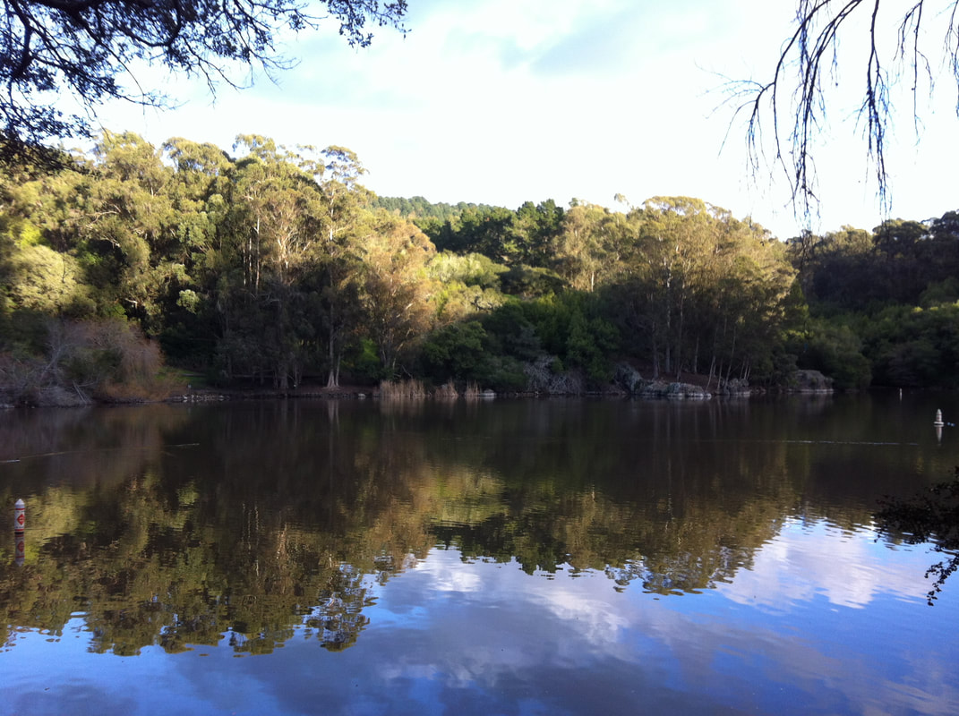
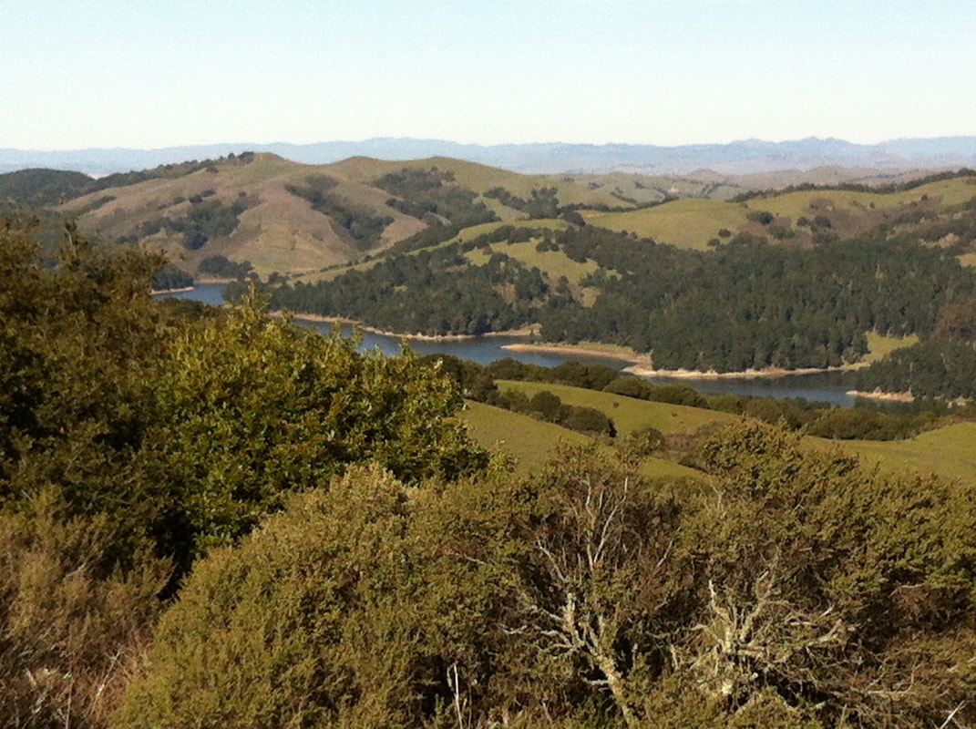
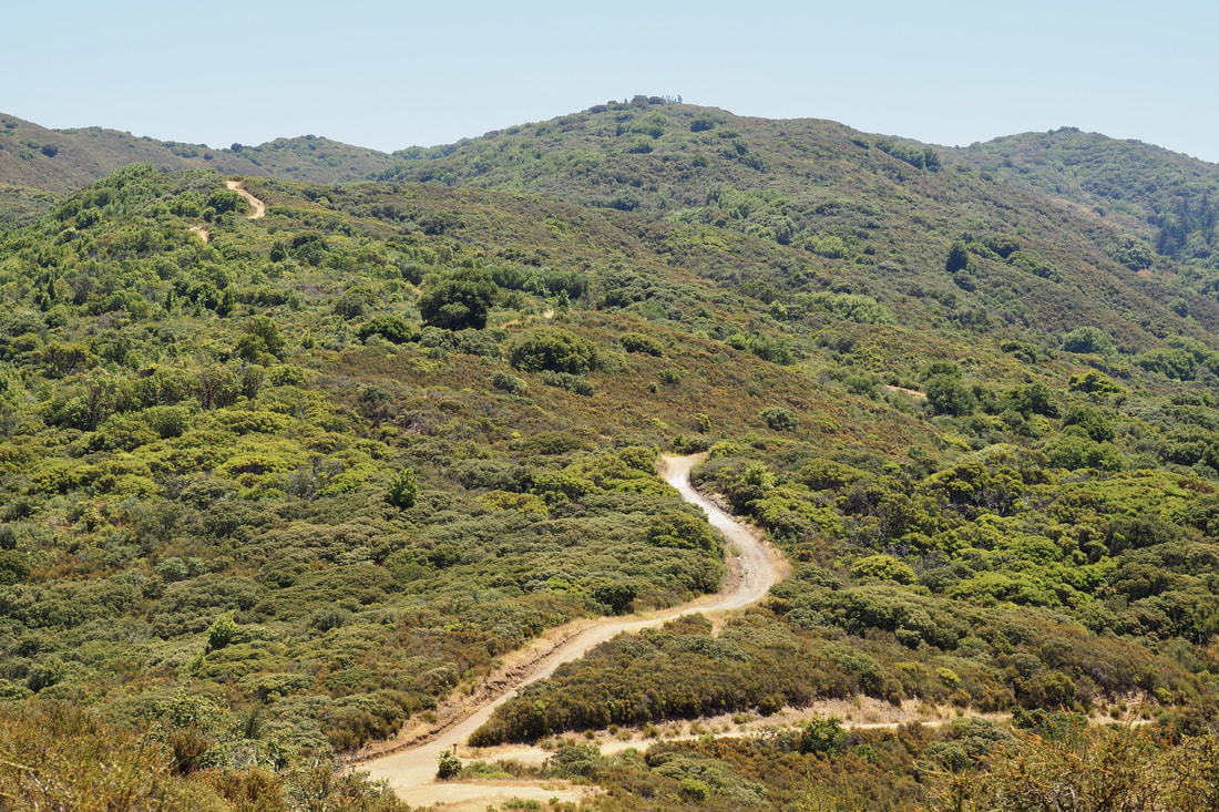
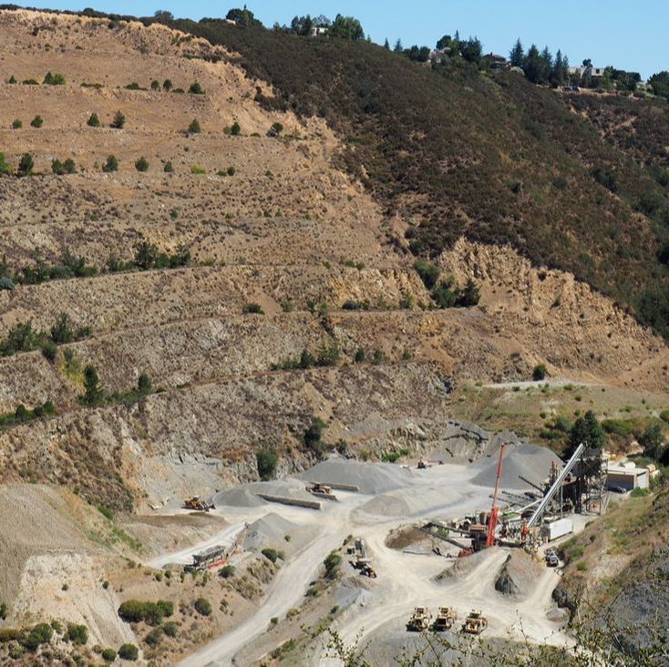
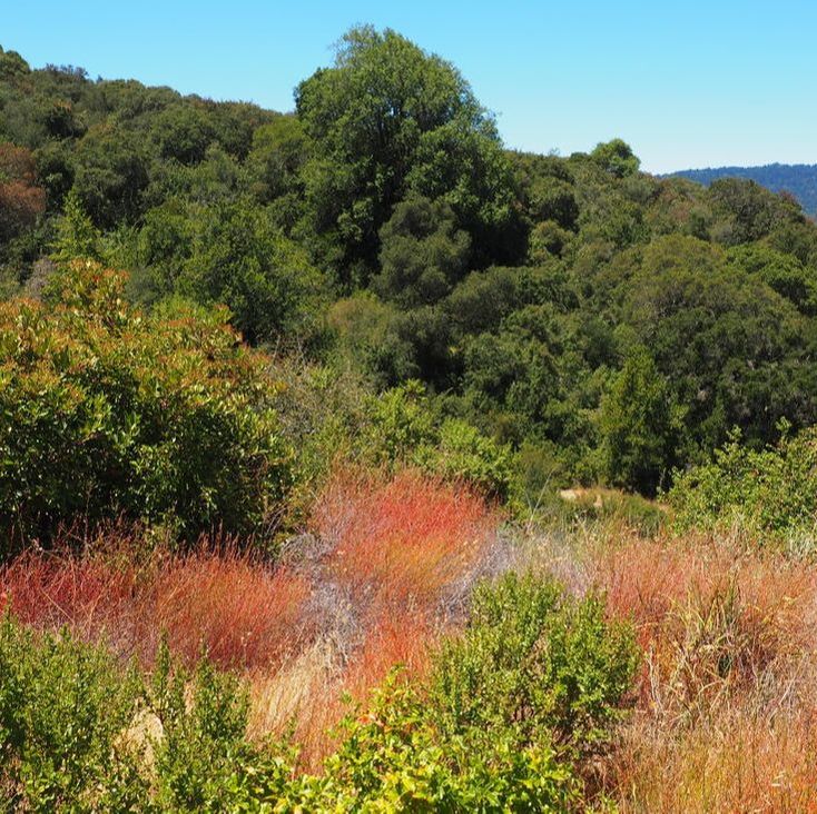
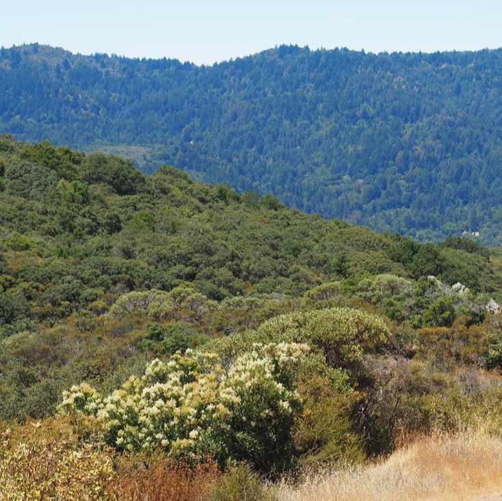
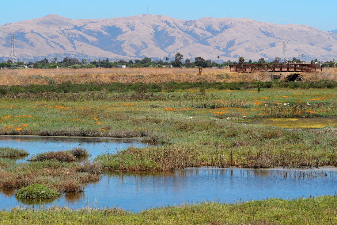
Just south of the Town of Los Gatos, on the east side of the Lexington Reservoir, sits Sierra Azul, the District's southernmost open space preserve. Translated Sierra Azul means "Blue Range." Encompassing more than 18,000 acres, this is the District's largest Preserve. Sierra Azul Preserve is a true wilderness area, yet surprisingly close to the urban areas of the South Bay, making it a popular destination. Because of its size, Sierra Azul is divided into four areas: Kennedy-Limekiln, Mount Umunhum, Cathedral Oaks, and Rancho do Guadalupe. Today, I visited the Kennedy-Limekiln area for the first time. I took a loop that is just over 5 miles, and I was treated to a bay laurel forest, a mixed forest of oak and madrone, a chaparral ecosystem with manzanita and chamise (and 360-degree views of mountains), eucalyptus trees, and views of the Lexington Reservoir. On the eastern edge of the Dumbarton Bridge is a network of parks that protect the wetlands: Coyote Hills Regional Park and the Newark campus of the Don Edwards National Wildlife Refuge. I visited the latter today for the first time; I was pressed for time today, so I only did a super short hike (0.7 miles) along the La Riviere Marsh Trail.
|
Archives
December 2020
Categories
All
|

 RSS Feed
