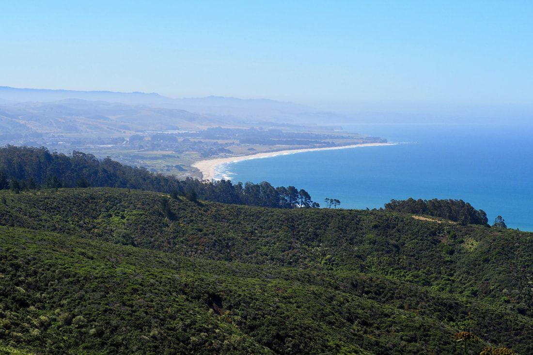
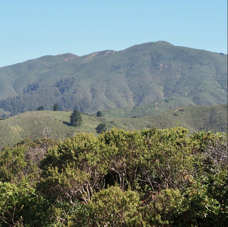
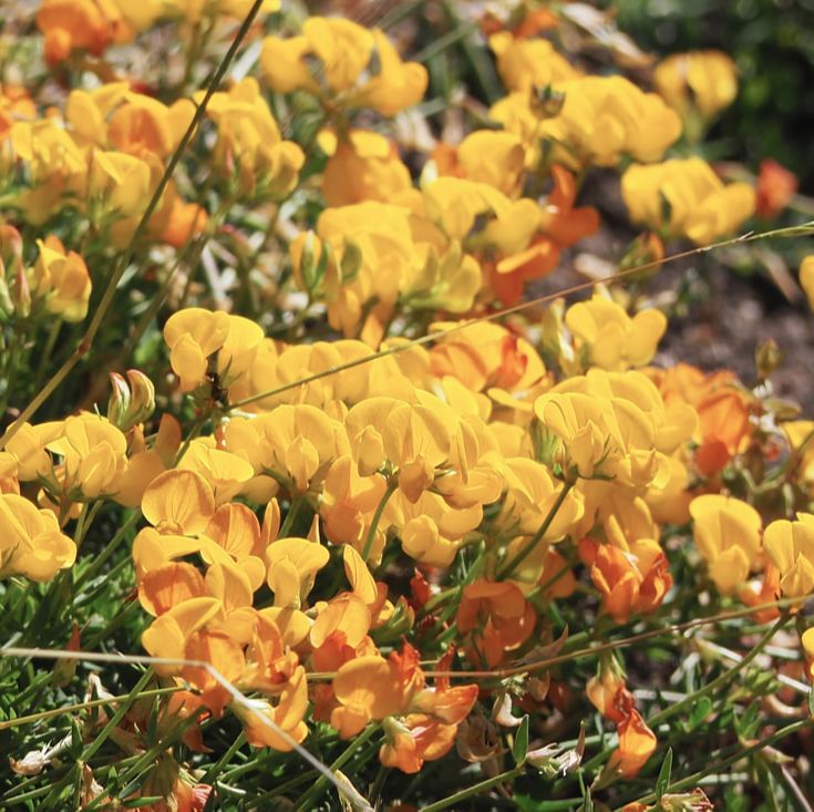
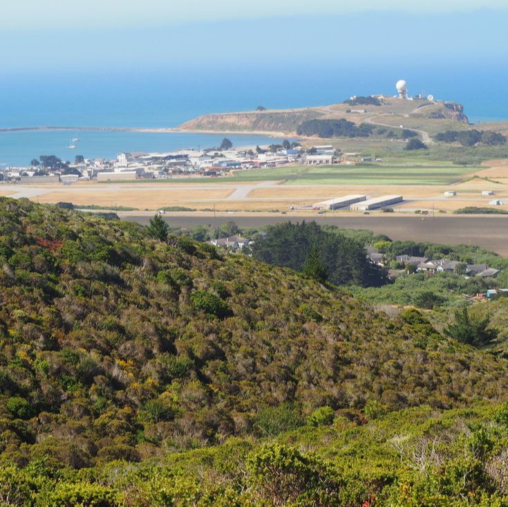
 Rancho Corral de Tierra is part of Golden Gate National Recreation Area (GGNRA), which is managed by the National Parks Service. This 4,000-acre parcel of land is the newest acquisition to the GGNRA, and it features both stunning vistas of the San Mateo County coast and prominent views of Montara Mountain, which dramatically rises 2,000 feet in just over 1 mile. The National Park Service explains the name of the park on its website: Historically known as "Rancho Corral de Tierra Palomares" (Earthen Corral), the property encompasses the majority of the 1839 Mexican Land Grant to Francisco Guerrero y Palomares where he built the first adobe on the San Mateo Coast at Denniston Creek. I have been putting off visiting this park for a while now, mostly because it's not precisely clear from the NPS website or the GGNRA website (link here) about where you can park to access the trails of the park. Because the park is so new, the trails, signage, and parking are all poorly communicated. I found a nice write-up about a hike on the POST website (link here), and decided to give that a try--I ended up rerouting when I arrived at the parking spot that POST recommends, and I chose to access the park instead from Coral Reef Rd. in El Granada. It was actually quite easy! I just drove to the end of the road, and there was parking near the sign making the end of the county maintenance. I am kicking myself now that I waited so long to visit this park. This was one of the best hikes I have been on in a very long time! See a map of my trip and loads more photos after the jump.
1 Comment
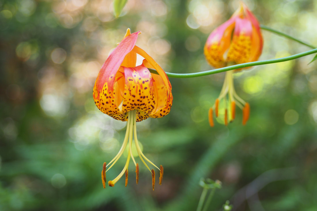 It was a gorgeous repeat visit to Tiptoe Falls at Portola Redwood State Park. I have seen tiger lilies blooming further up north, but this was my first time to catch them this far south! See more after the jump, including shots of the waterfall and my little hiker walking on the trail for the first time (instead of crawling).
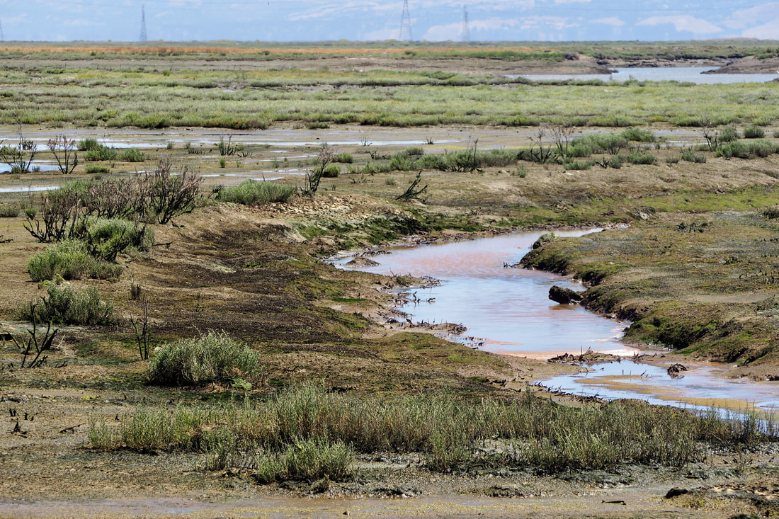
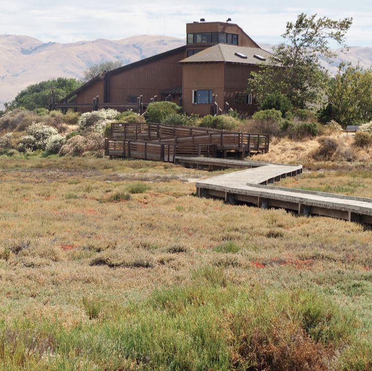
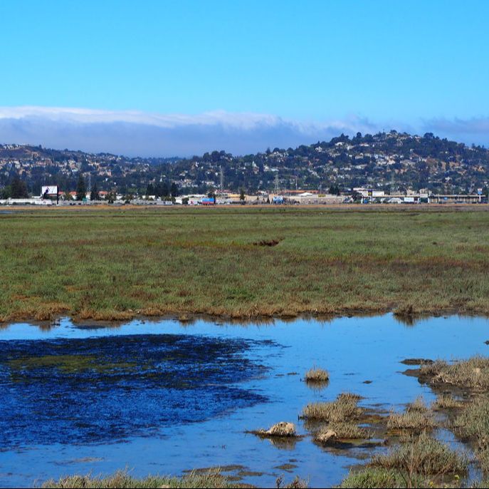
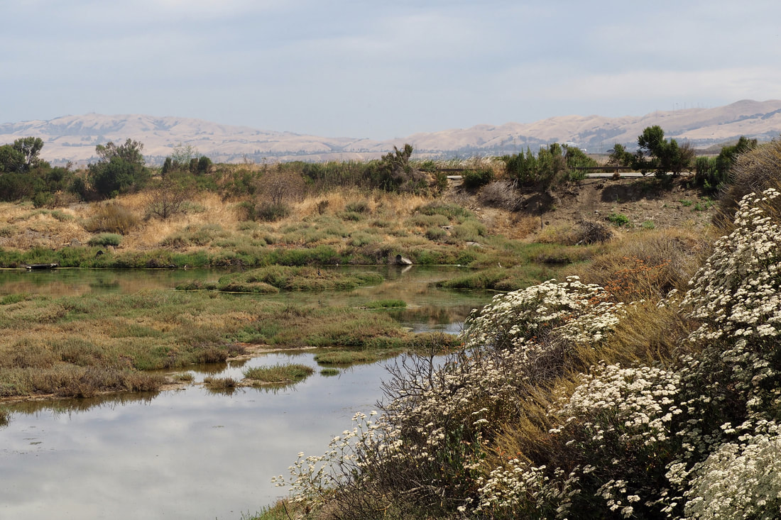 I fell in love with this park today on my easy half-mile loop on the New Chicago Marsh Trail. It was so much fun to walk on the boardwalk out over the water--it felt like floating or canoeing.
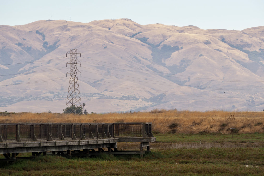 Baylands Park is a city park run by the town of Sunnyvale and Santa Clara County. The park is really geared more towards families who want to picnic and to let their kids play on nice play structures; however, there is a nice one-mile hike through a seasonal marsh.
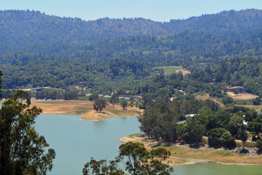 I really enjoyed my hike today at St. Joseph's Hill Open Space Preserve near Los Gatos. The preserve is contiguous with both Lexington Reservoir County Park and Novitiate Park, a Los Gatos city park. I was able to access the trailhead by parking at Lexington Reservoir boat launch (there is a small vehicle fee). Once I climbed to the summit of St. Joseph's hill (1,253'), I could see fantastic vistas of Mount Sereno (to the north), the Santa Clara Valley (to the east), distant mountains in the Diablo range (further east), the Sierra Azul range (to the south). and the reservoir (to the west).
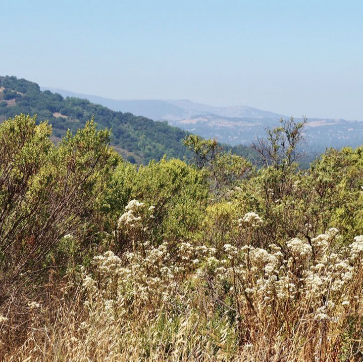
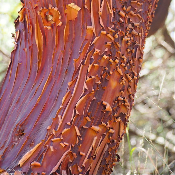
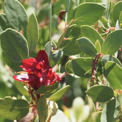
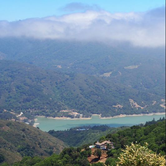
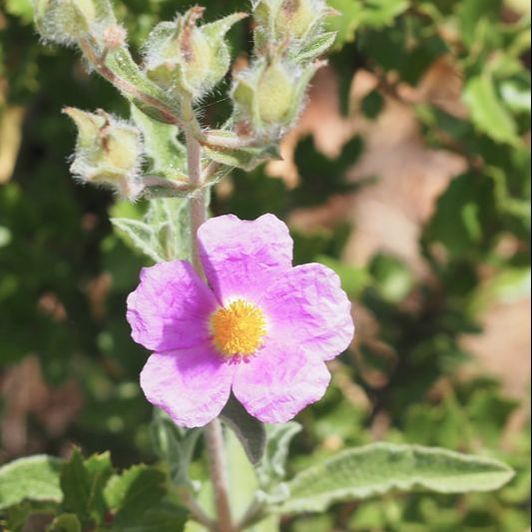
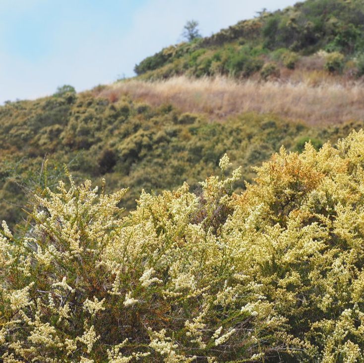
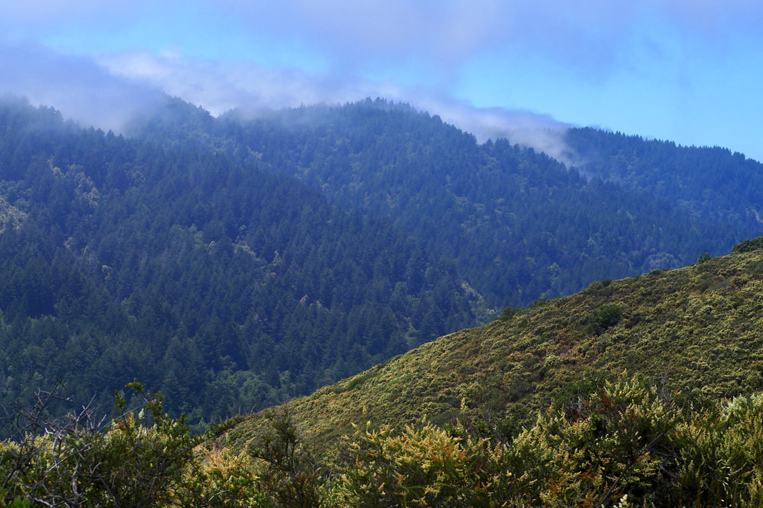 This MROSD park is all about the vistas! You get to El Sereno from Highway 17, and then peel off on the Montevina road (it's 1.5 lanes but two-ways!). You take Montevina all the way to the end of the road, so the vistas start before you even get to the entrance of the park itself. Here is a helpful blurb about the park on the MROSD webpage: El Sereno Open Space Preserve is named for 2,249-foot Mt. El Sereno, part of a prominent ridge located south of the town of Saratoga and west of the town of Los Gatos. A distinctive scenic backdrop to these cities, the 1,415-acre Preserve is primarily a chaparral community with some wooded areas near the creeks. I was lucky enough to go on this hike when the chamise was in bloom, and it was just gorgeous to see it in the foreground as the fog rolled in over Sanborn County Park to the west in the Santa Cruz mountains. The clouds made beautiful shadows on the waters of Lexington Reservoir below.
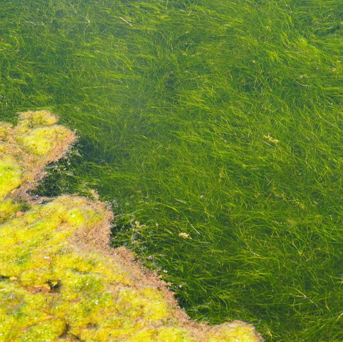
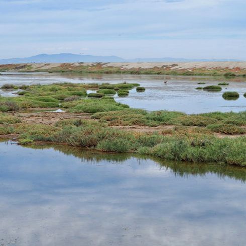
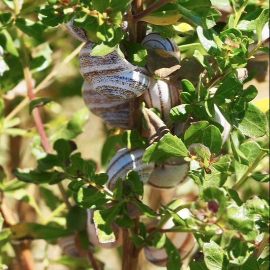
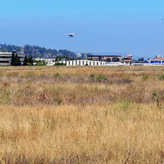
 Bair Island is a restored marsh in Redwood City. The marsh was purchased by POST (which has a nice write-up of the trail here) and is now maintained by the Don Edwards San Francisco Bay National Wildlife Refuge (their info on the park can be found here, a map can be found here, and their nature guide can be found here). Bay Area Hiker has an excellent write-up of the trail here too. It's cool to see this area, which was cattle grazing land and then salt evaporation ponds, being restored to its natural brackish marshes. Even in July, there were wildflowers still blooming and I saw cool snails, jackrabbits, and LOTS of birds. It was so pleasant to feel the cool breeze off the bay in the summer sunshine (with the fog rolling over the Santa Cruz mountains to the west).
|
Archives
December 2020
Categories
All
|
 RSS Feed
