Lonely Hiker
  • Home
  • About
  • Regions
  • Parks
  • Trails
  • Photography

Trails

Rancho Corral de Tierra, GGNRA

7/9/2018

1 Comment

 
Picture
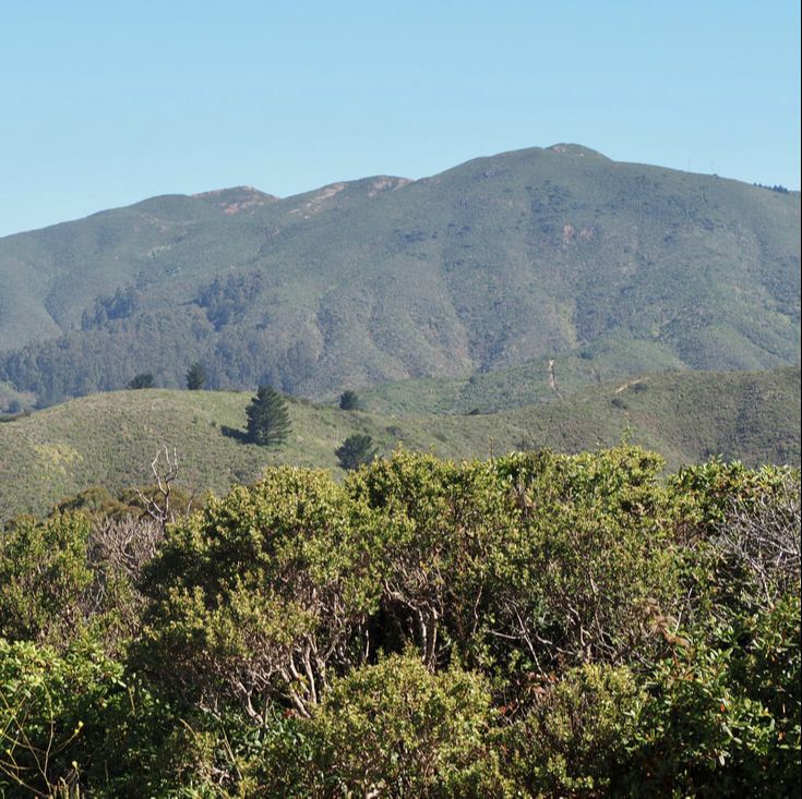
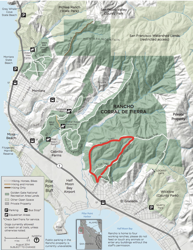
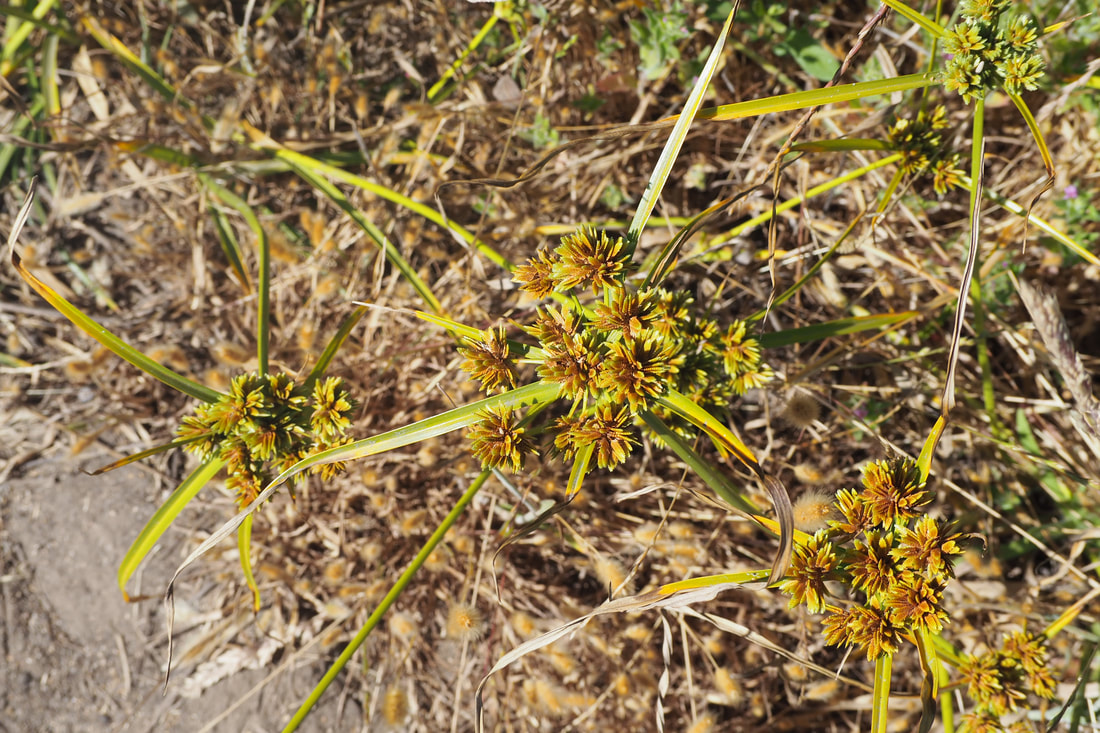
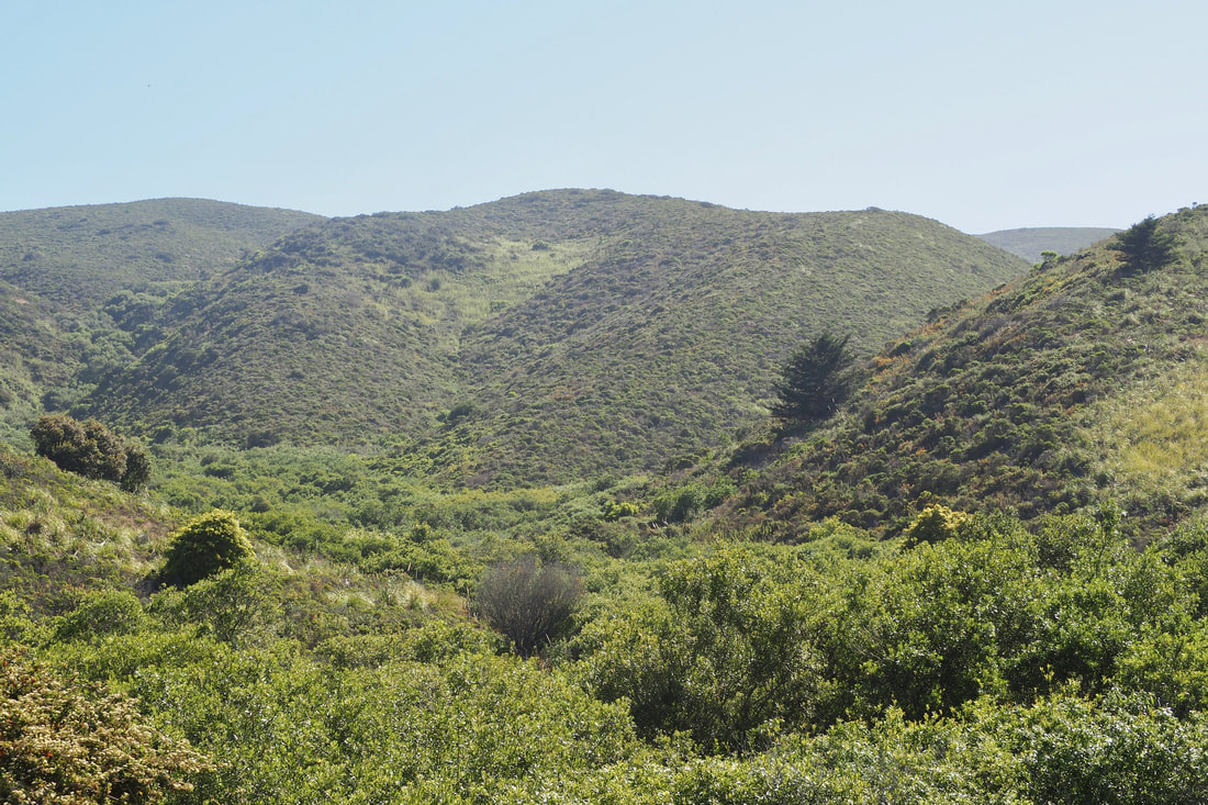
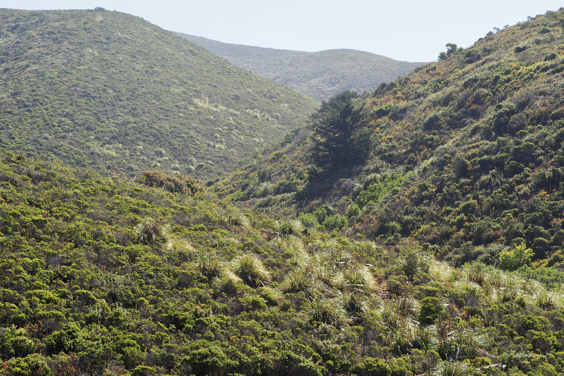
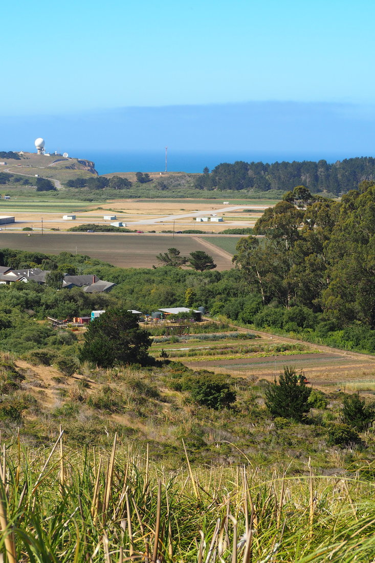
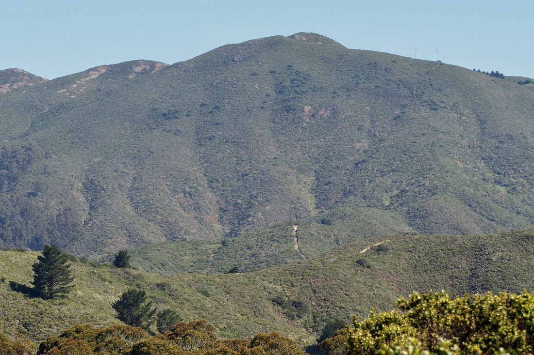
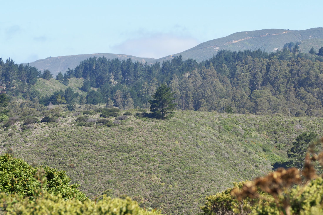
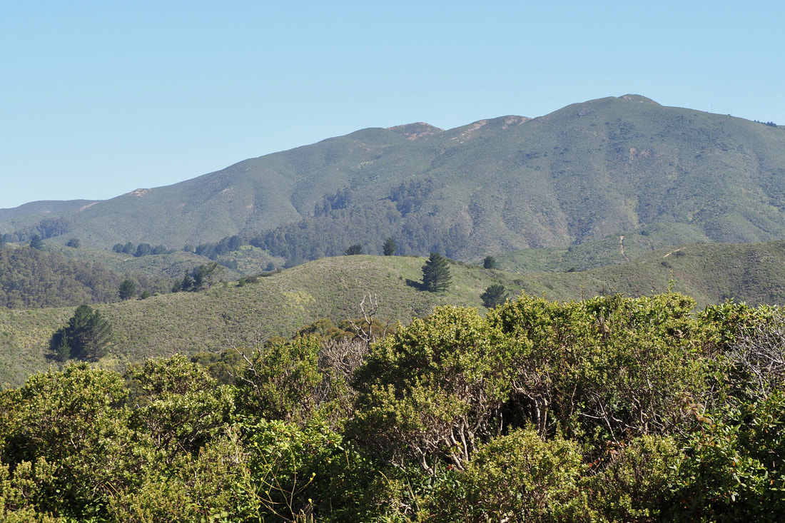
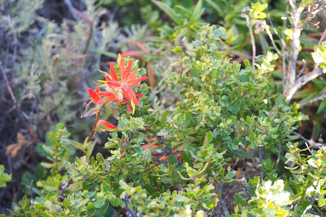
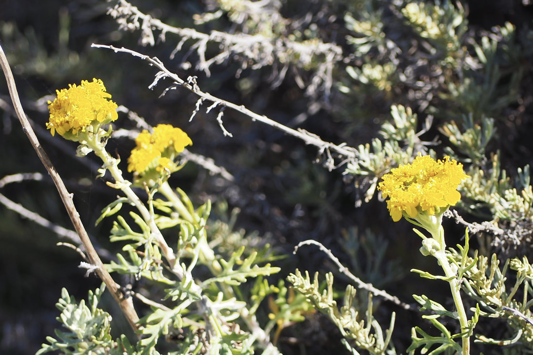
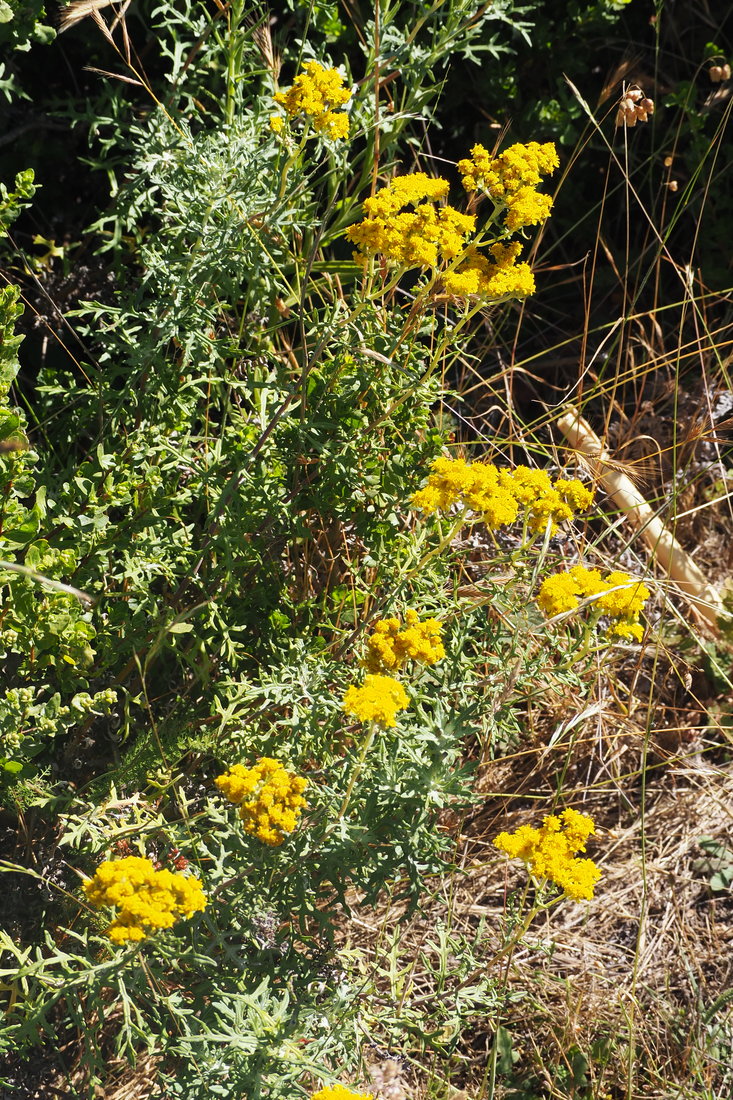
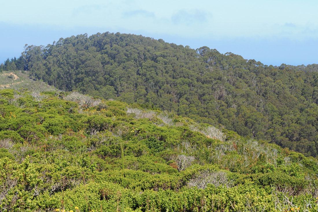
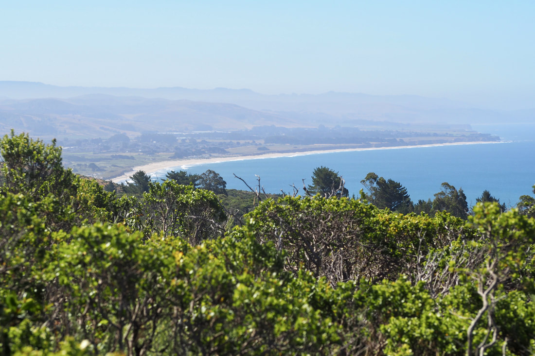
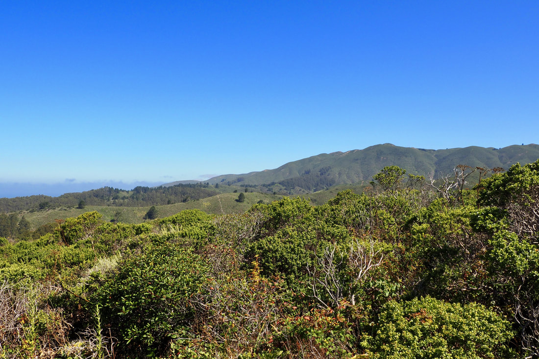
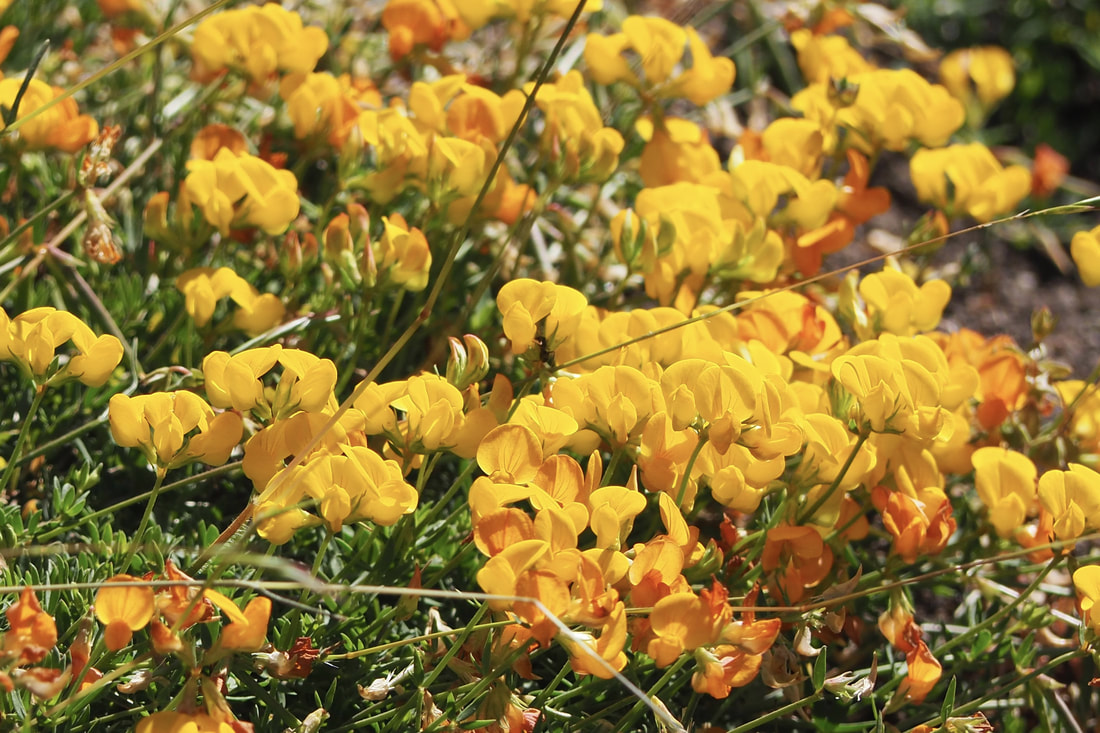
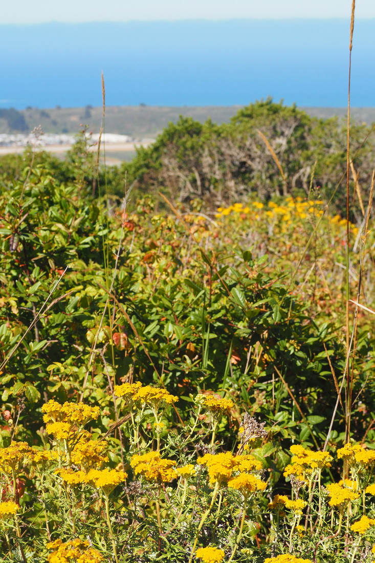
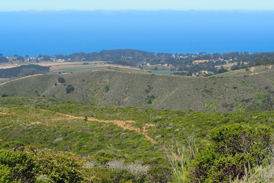
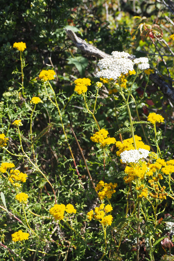
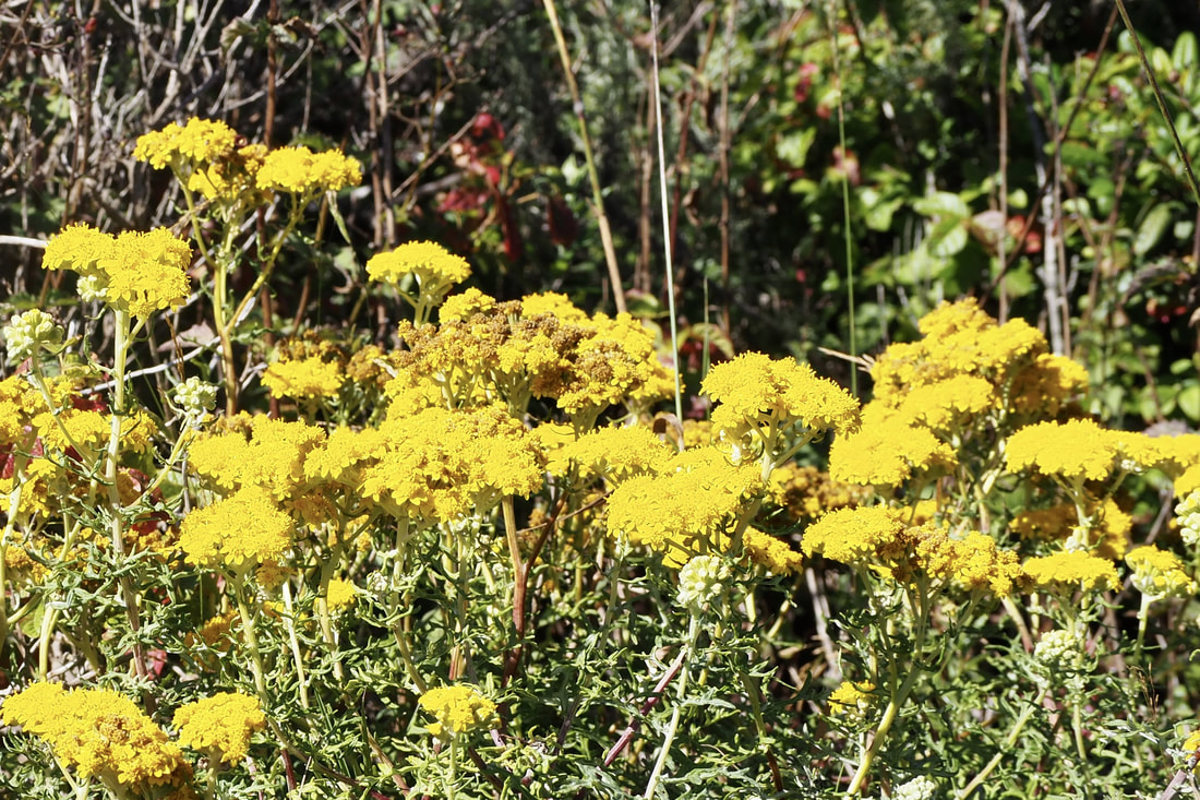
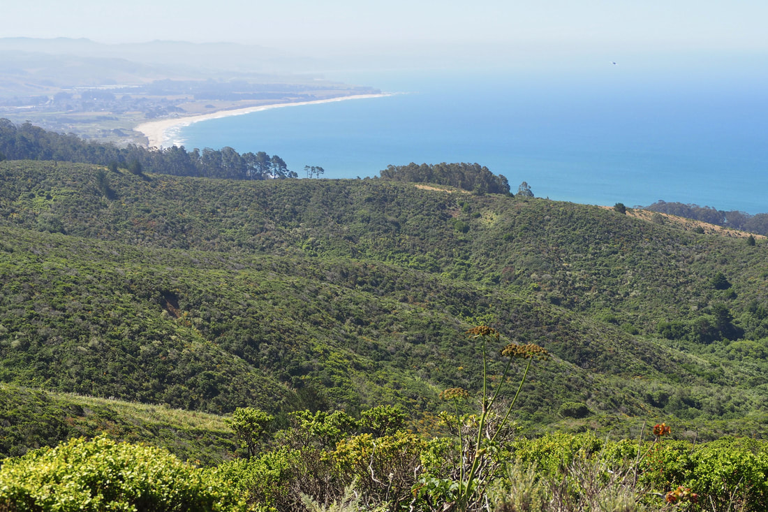
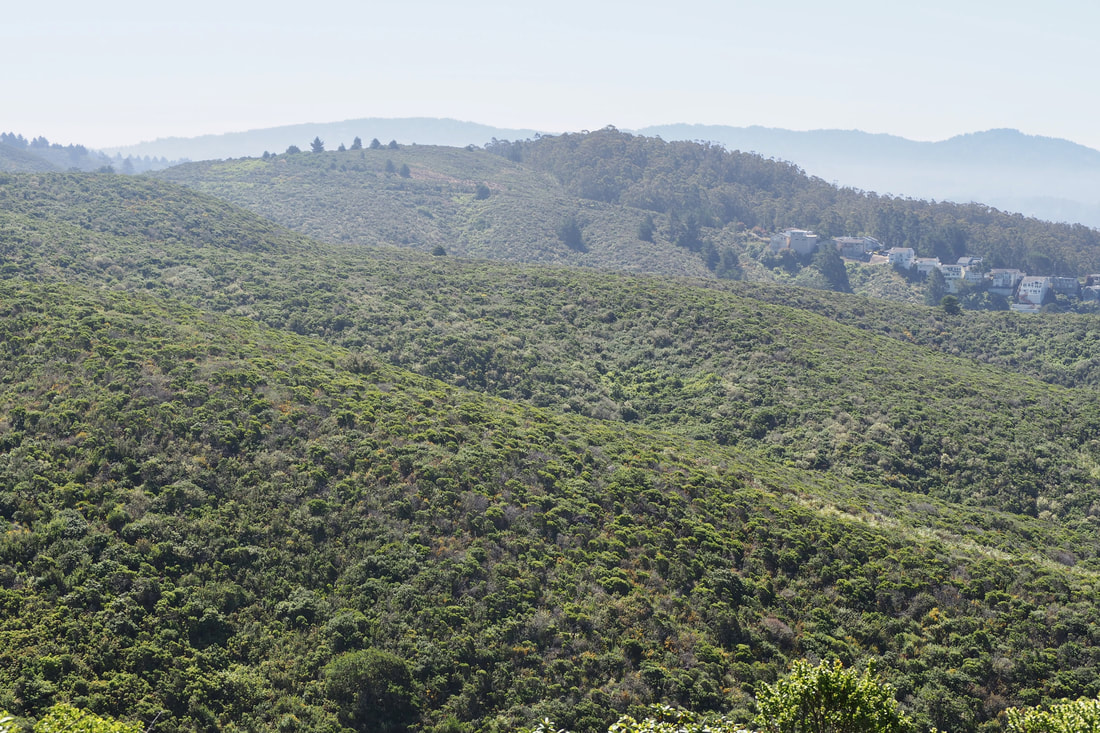
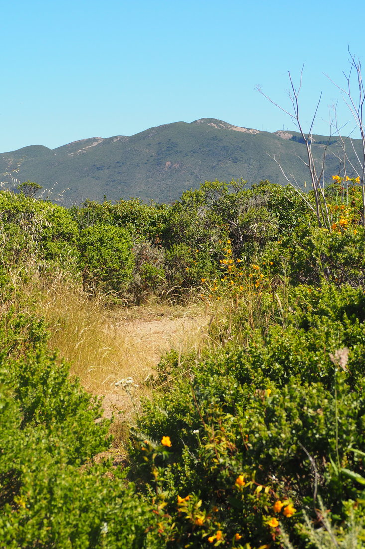
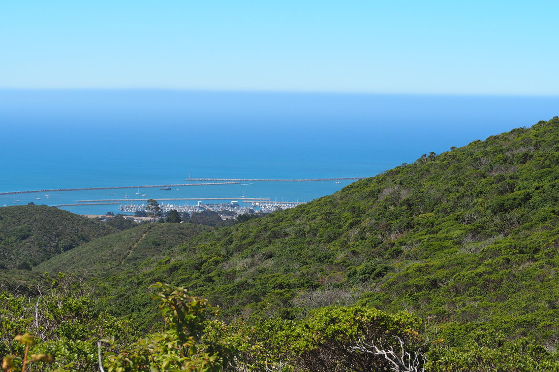
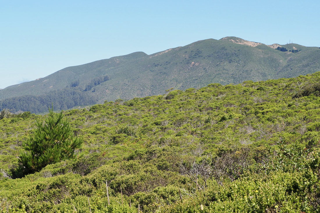
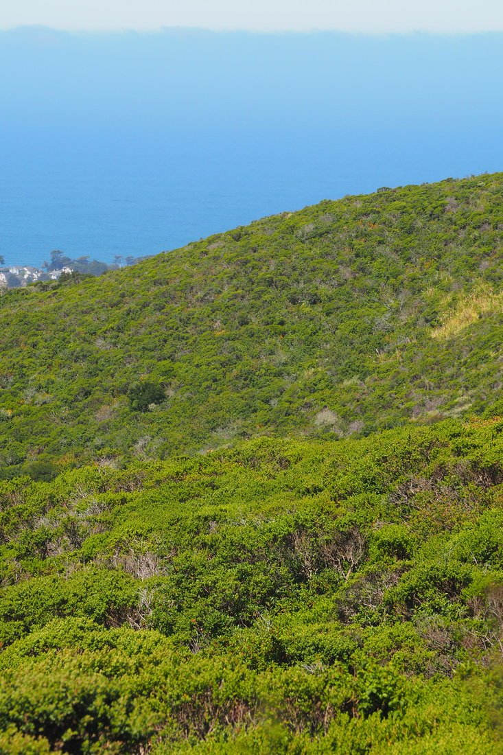
Rancho Corral de Tierra is part of Golden Gate National Recreation Area (GGNRA), which is managed by the National Parks Service. This 4,000-acre parcel of land is the newest acquisition to the GGNRA, and it features both stunning vistas of the San Mateo County coast and prominent views of Montara Mountain, which dramatically rises 2,000 feet in just over 1 mile.

The National Park Service explains the name of the park on its website: Historically known as "Rancho Corral de Tierra Palomares" (Earthen Corral), the property encompasses the majority of the 1839 Mexican Land Grant to Francisco Guerrero y Palomares where he built the first adobe on the San Mateo Coast at Denniston Creek.

I have been putting off visiting this park for a while now, mostly because it's not precisely clear from the NPS website or the GGNRA website (link here) about where you can park to access the trails of the park. Because the park is so new, the trails, signage, and parking are all poorly communicated. I found a nice write-up about a hike on the POST website (link here), and decided to give that a try--I ended up rerouting when I arrived at the parking spot that POST recommends, and I chose to access the park instead from Coral Reef Rd. in El Granada. It was actually quite easy! I just drove to the end of the road, and there was parking near the sign making the end of the county maintenance.

I am kicking myself now that I waited so long to visit this park. This was one of the best hikes I have been on in a very long time! See a map of my trip and loads more photos after the jump.
Picture
Picture
Picture
Picture
The mileage is not marked on the map, and there were no signs except those denoting the boundaries of the park. The GPS on my phone estimates that this loop is about 3.3 miles, which feels a little on the short side to me, but that may just be because the hike gains quite a bit in elevation. It was a moderate hike--not too strenuous, but definitely not easy because of its steepness.

It is GORGEOUS! The views of coast and of the mountains were incredible today, a spectacularly clear and sunny day. I have hiked Montara Mountain before, and I was not so lucky to have had a clear day back then. Also, even though it's July, there was still an abundance of wildflowers blooming on the mountain. Moreover, because this park is so poorly advertised for the time being, there was almost no one else on the trail. I had practically the whole park to myself.
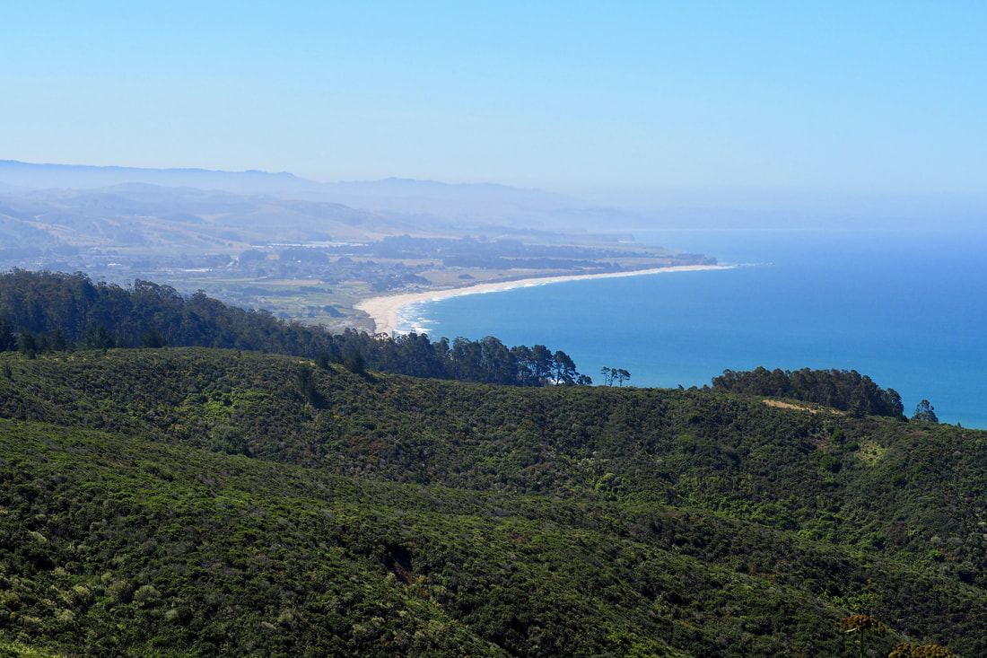
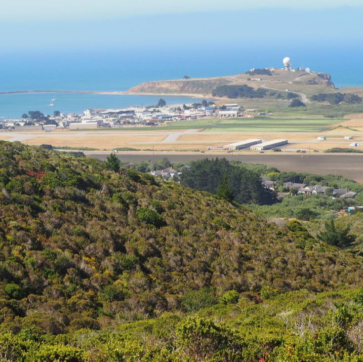
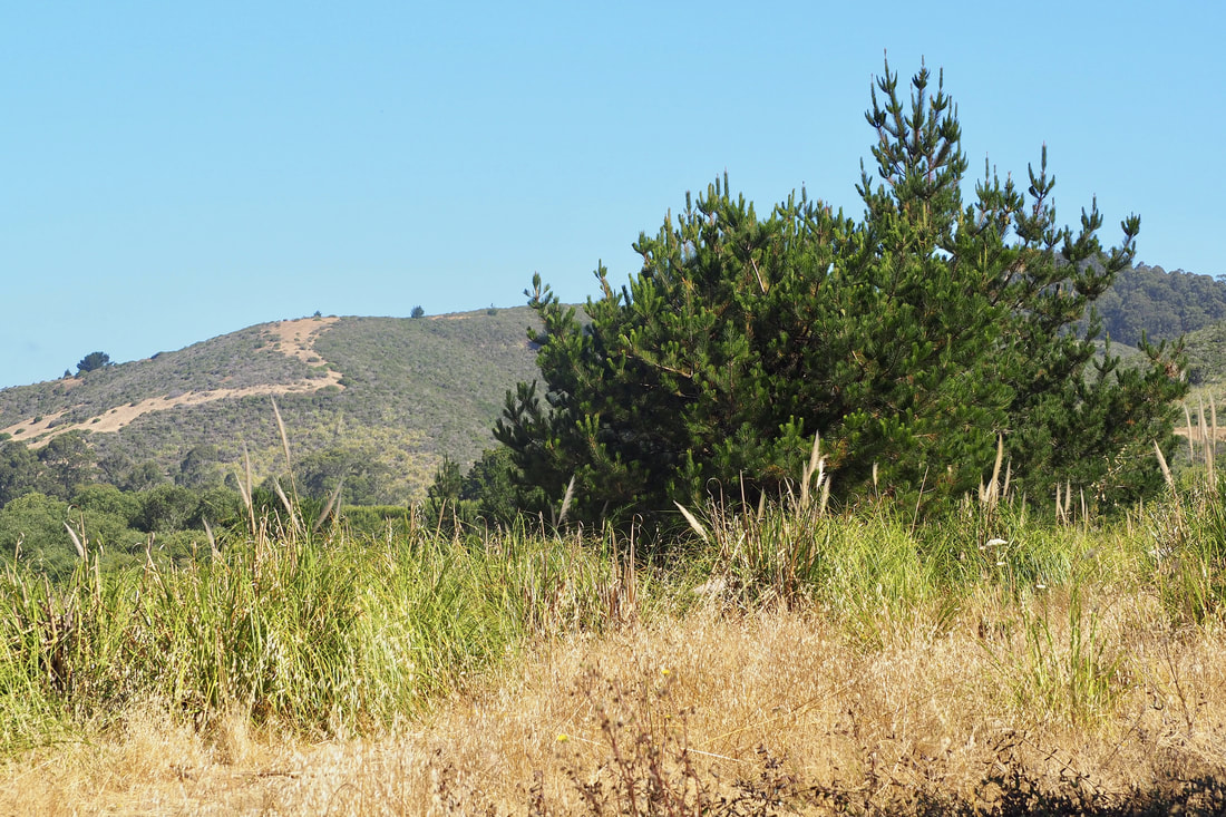
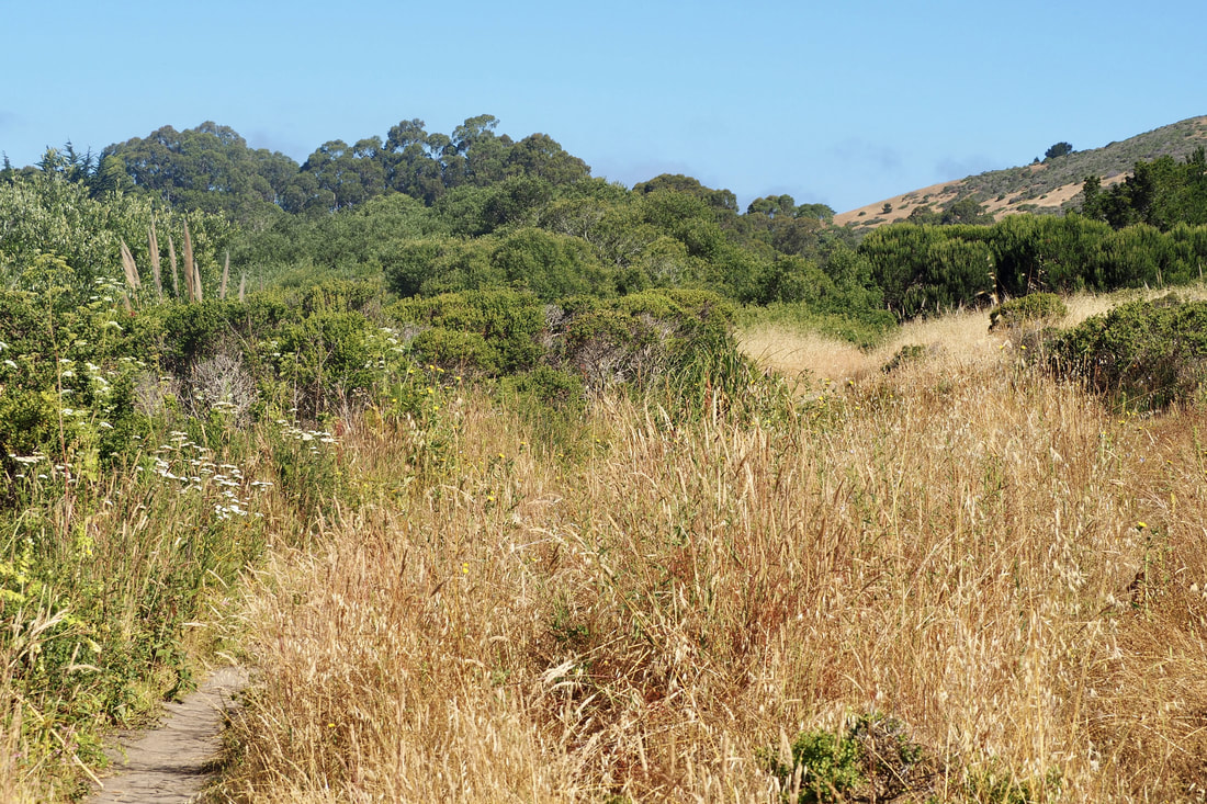
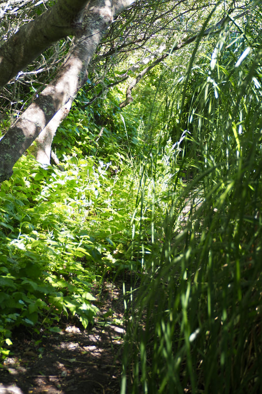
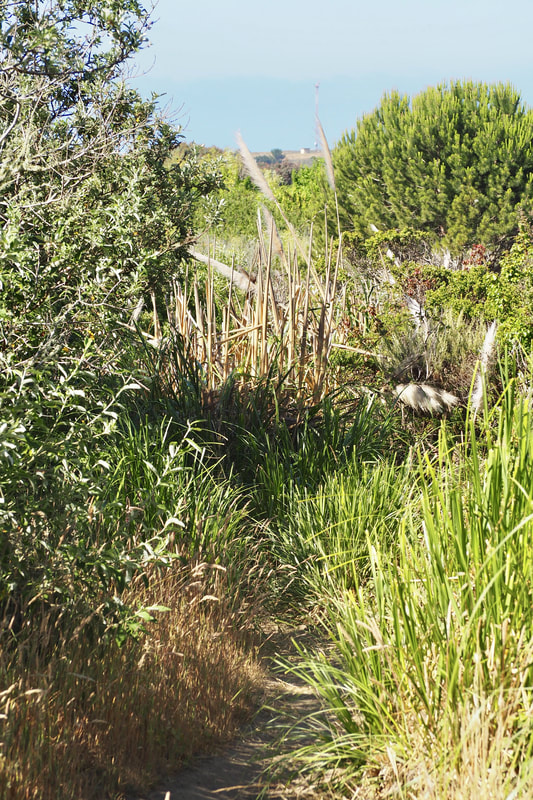
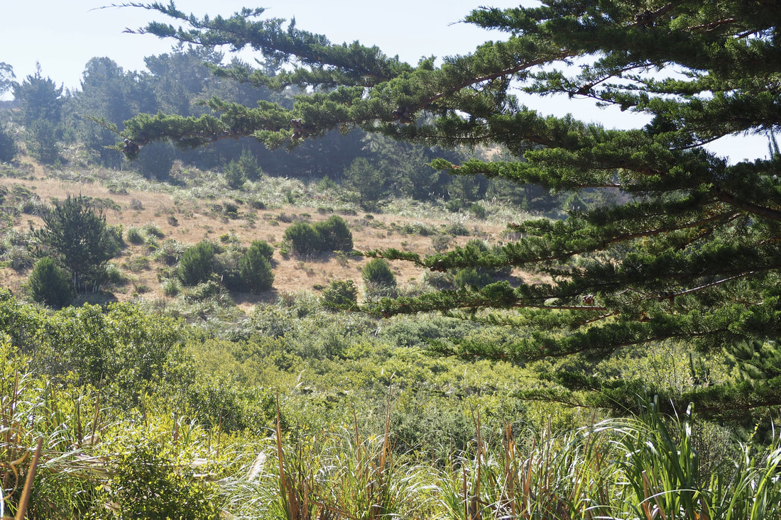
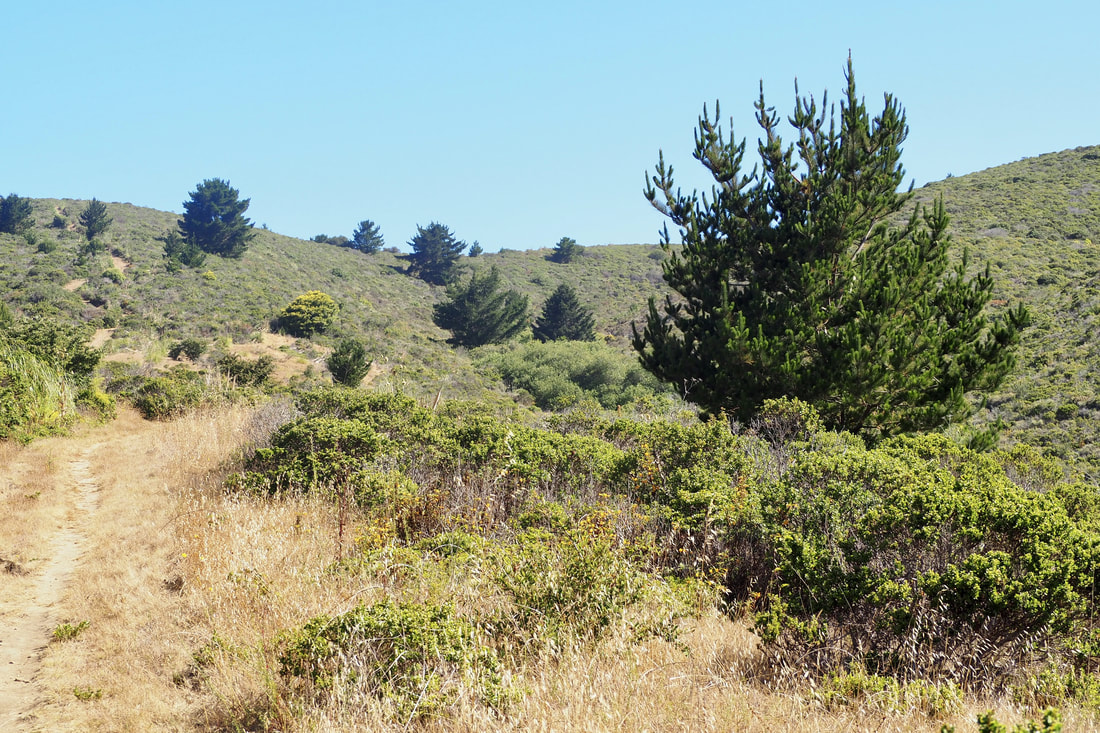
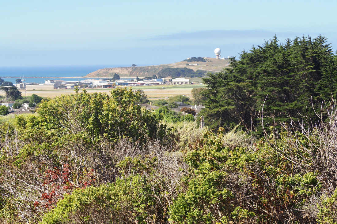
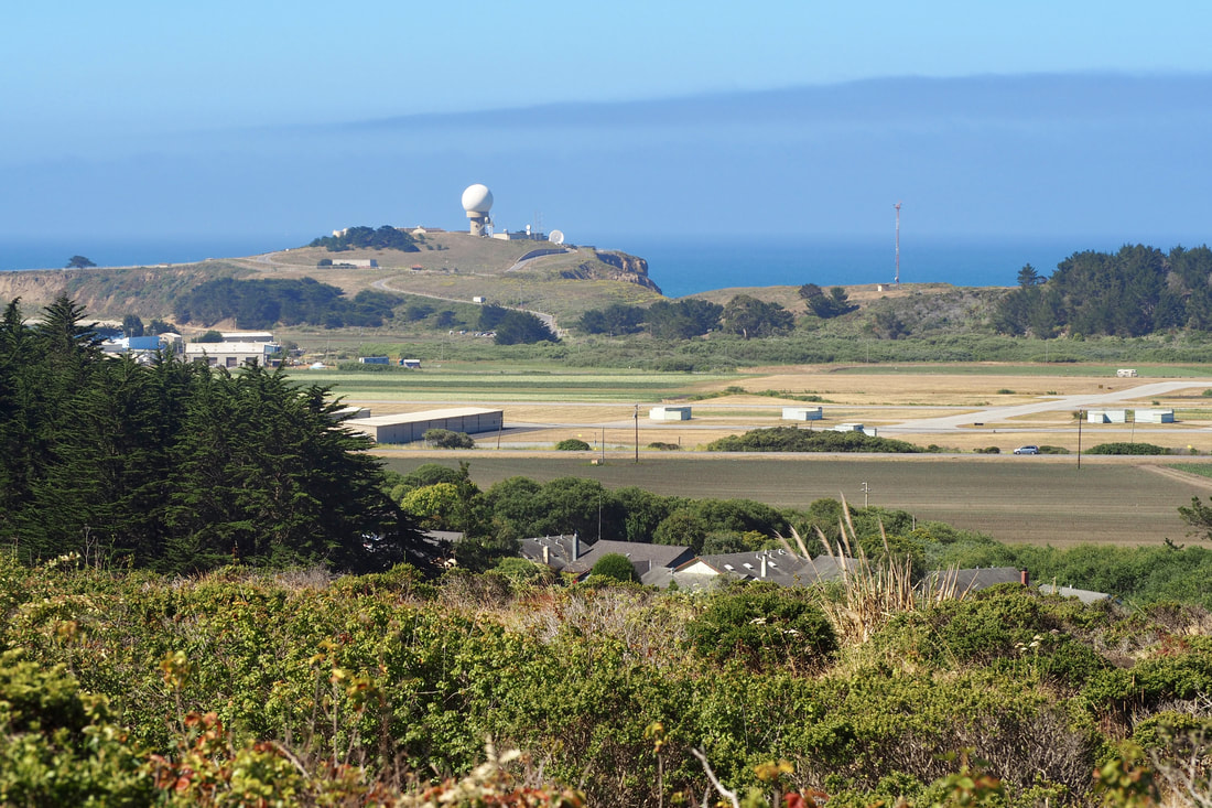
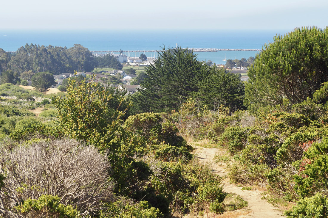
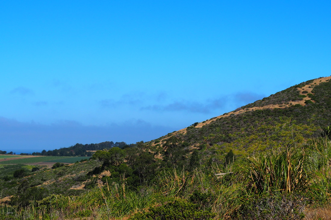
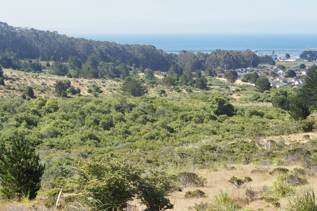
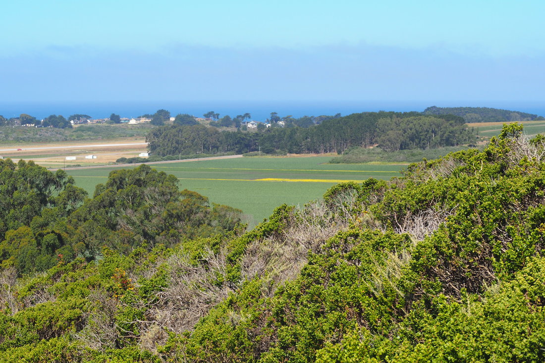
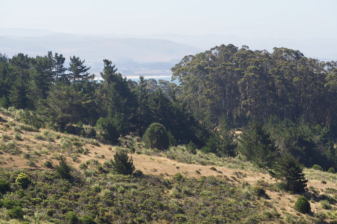
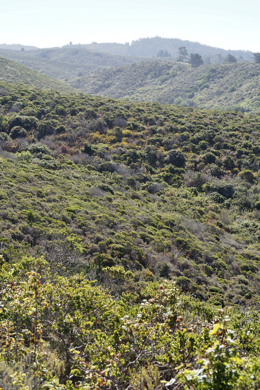
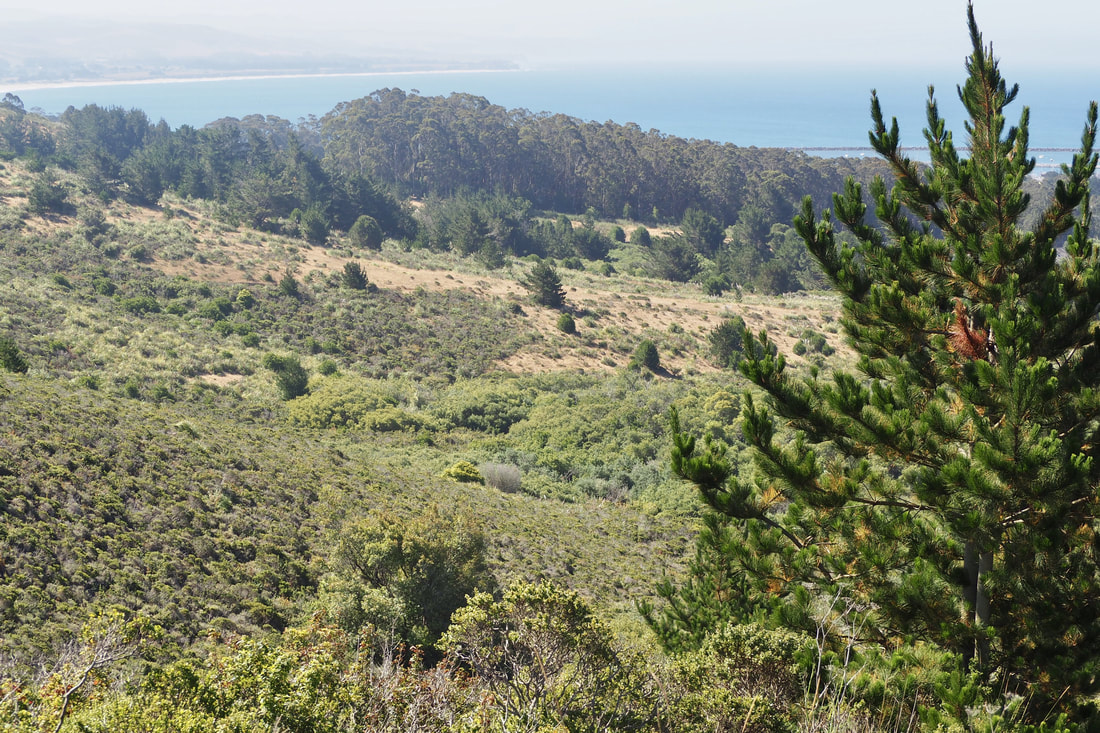
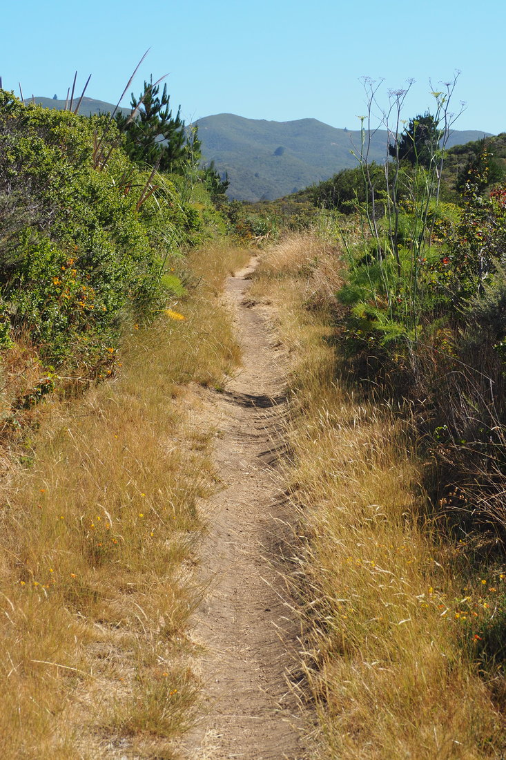
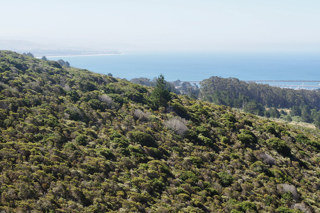
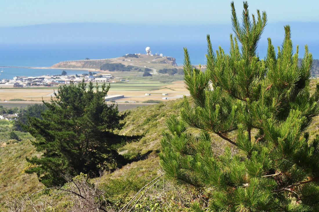
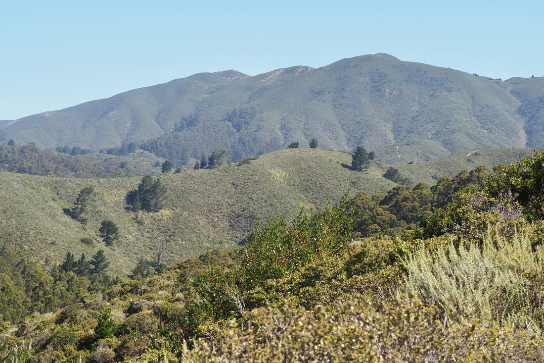
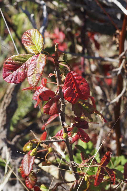
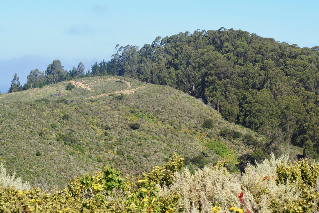
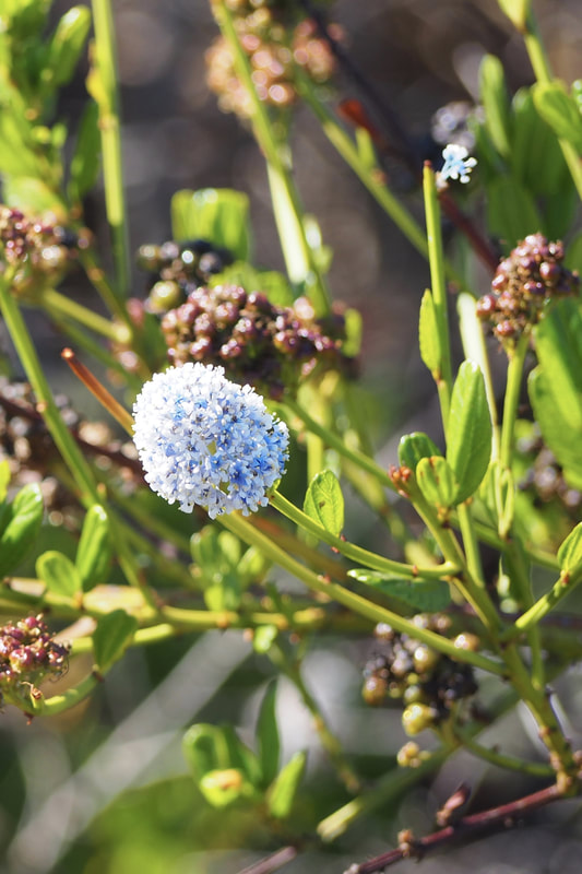
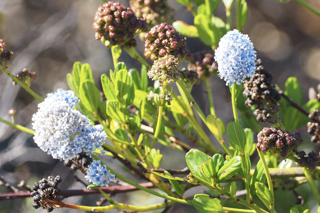
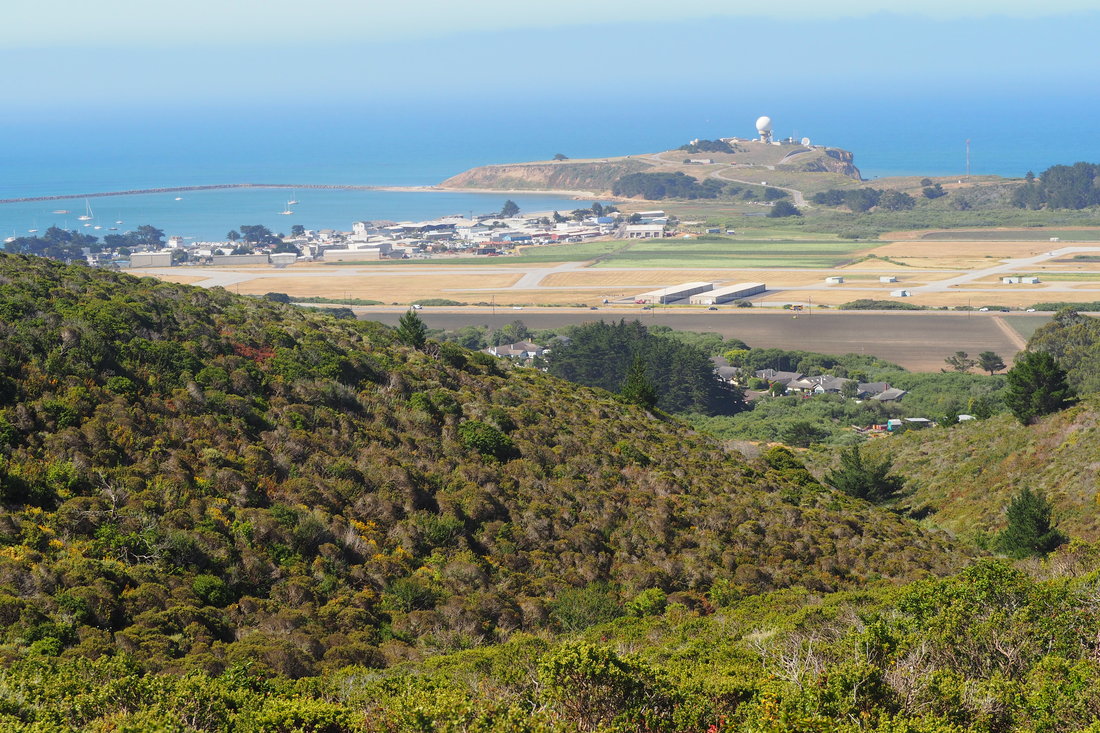
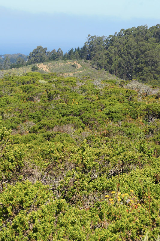
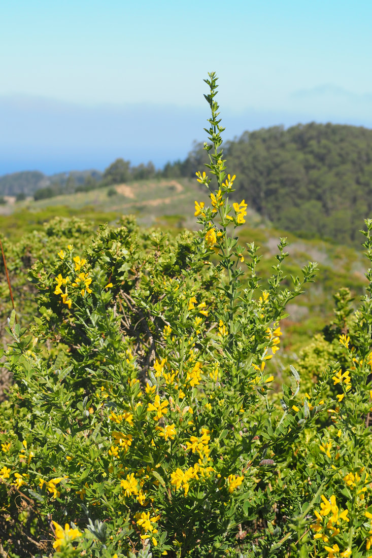
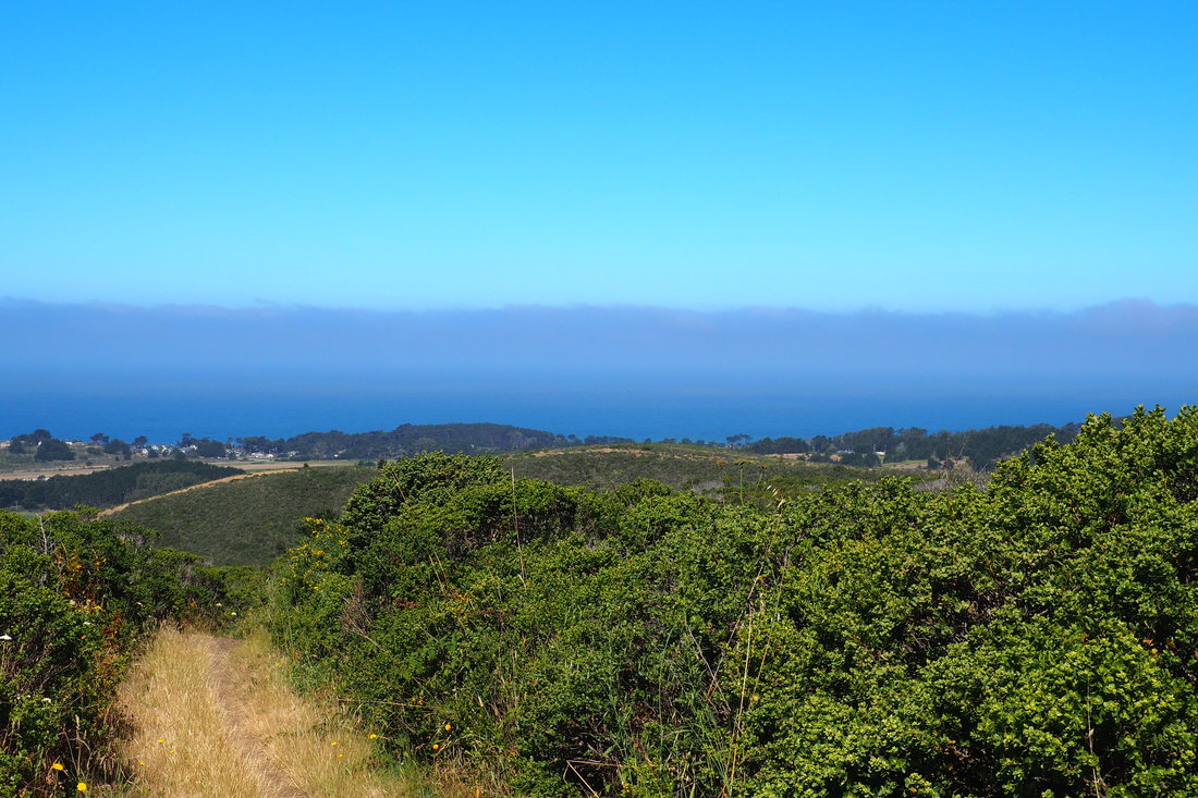
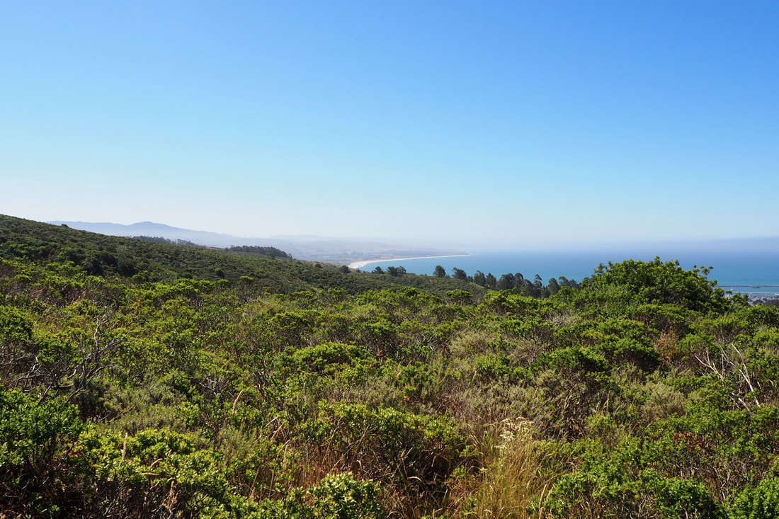
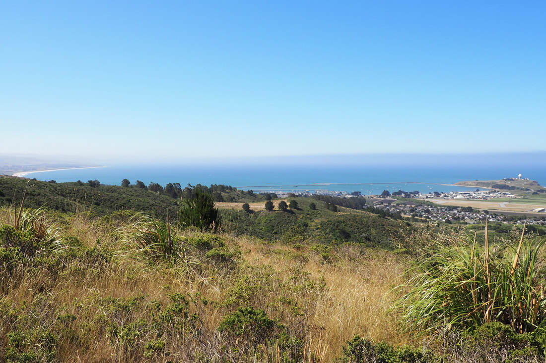
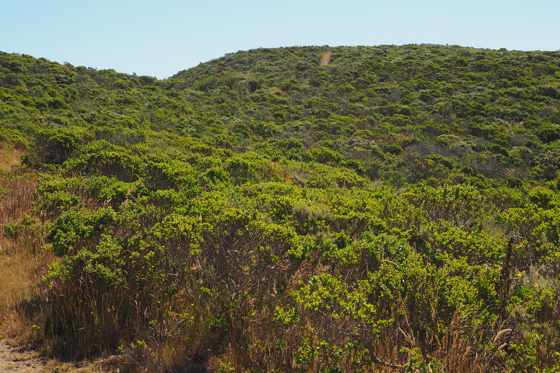
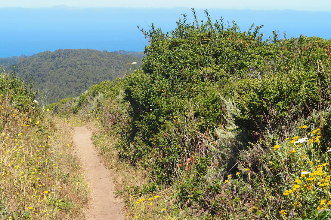
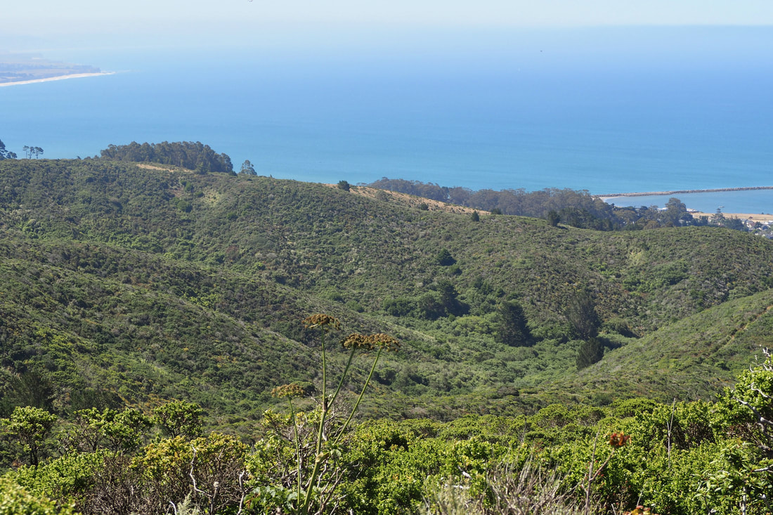
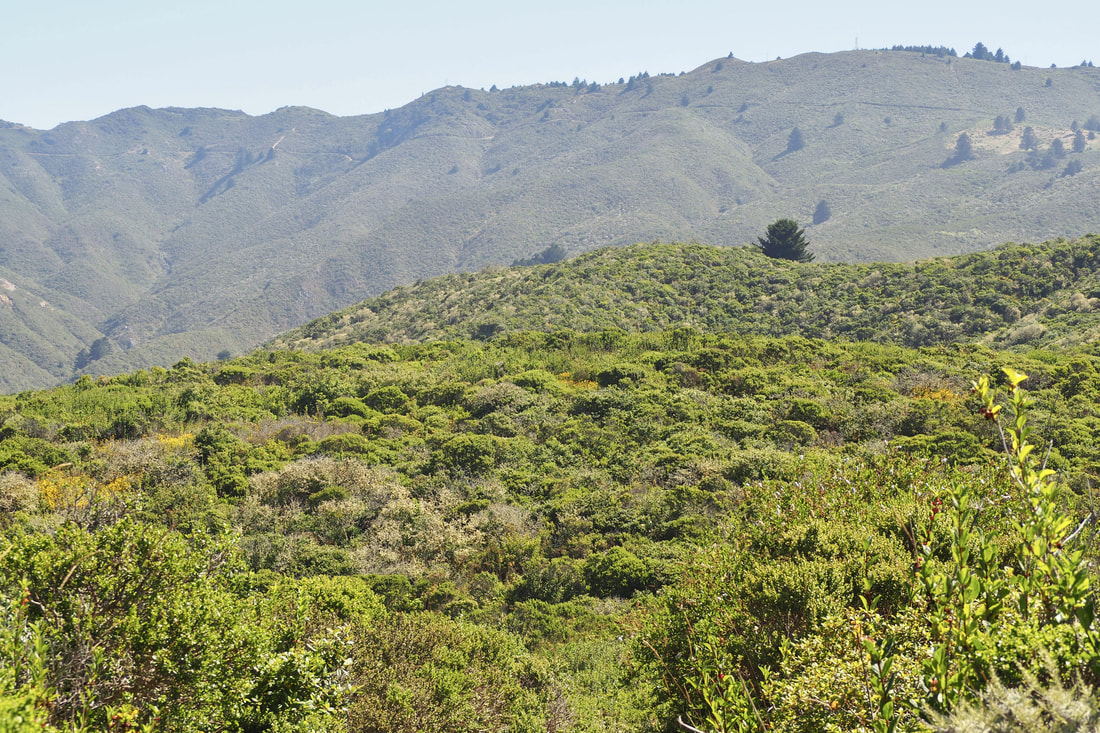
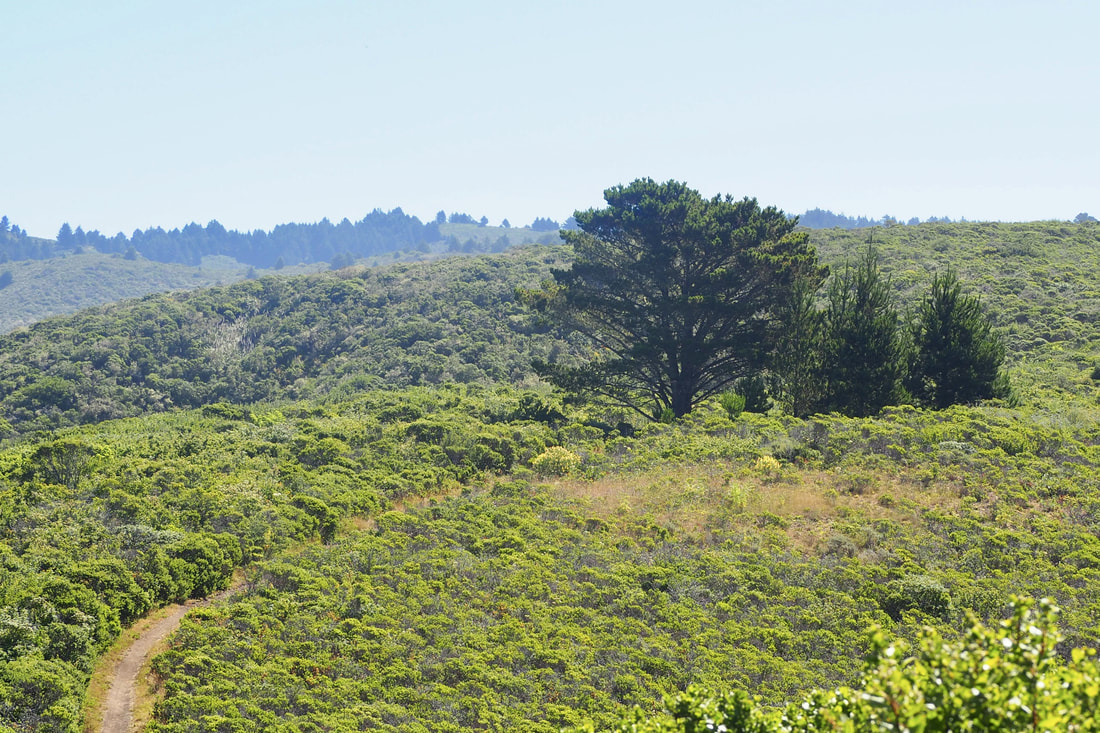
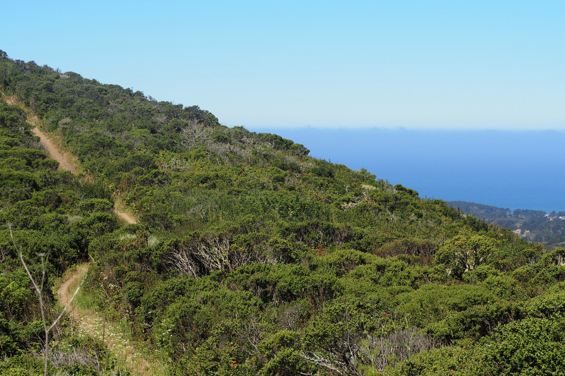
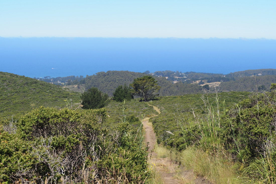
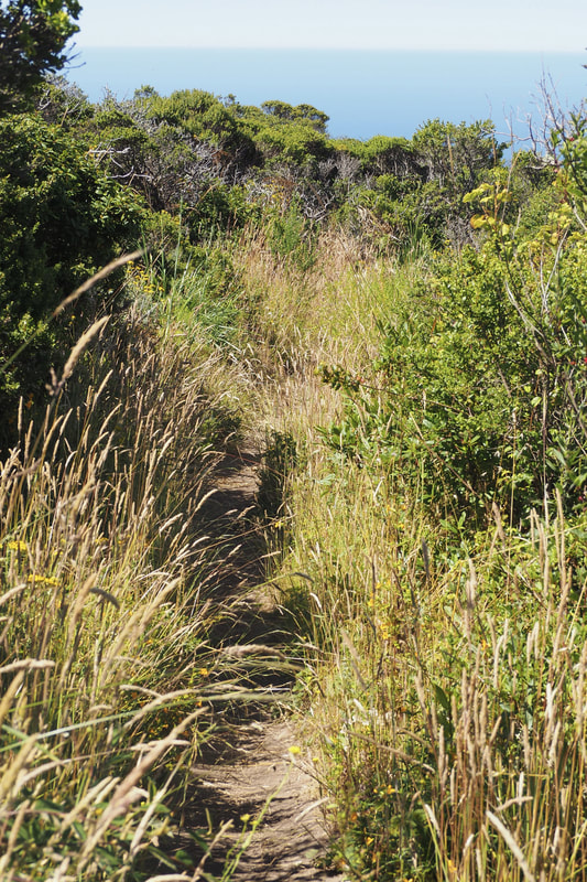
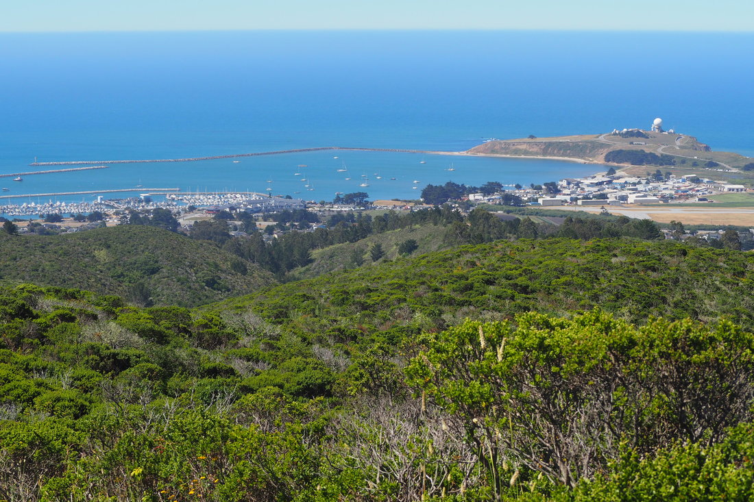
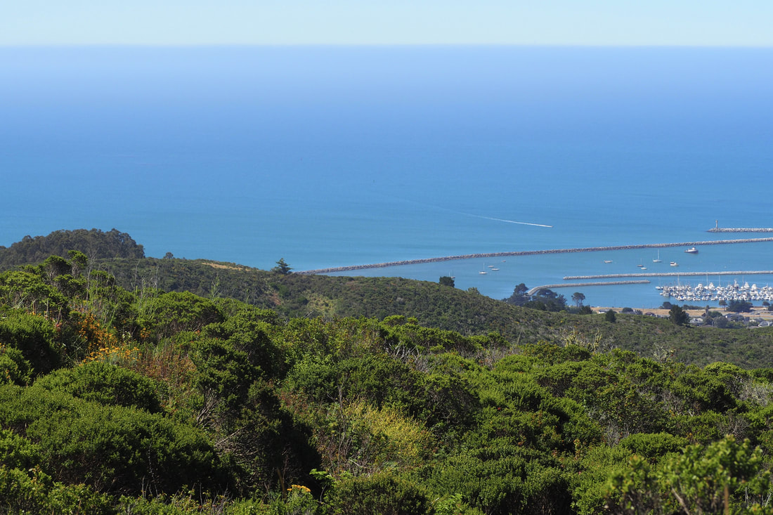
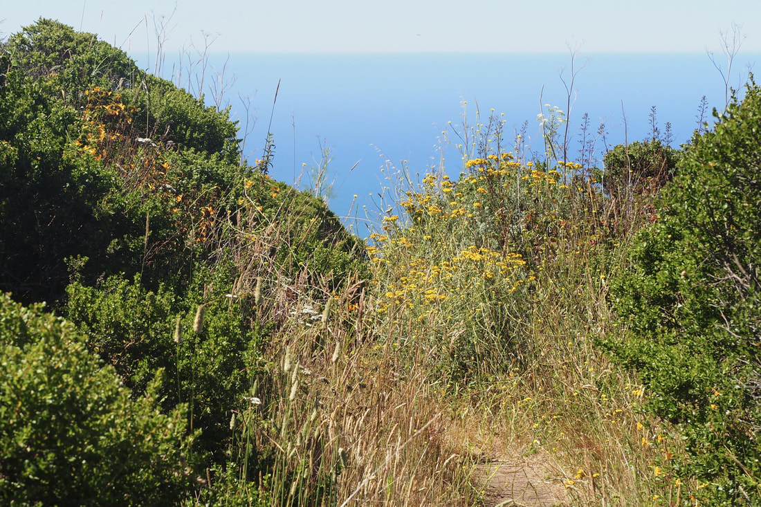
If you go, be sure to bring a map (link here) because there is no signage up. And also bring sunscreen, a hat, and layers of clothes. There is little shade, and the wind really picks up once you clear a ridge; however, you will work up a sweat climbing the mountain.

I started at Coral Reed Rd., and entered at the gate on the north side of the lot, near the traffic barrier. The trail gets a little hard to follow, but I knew that I needed to cross a creek or a dry creek bed before turning to the right to begin my ascent. While crossing the creek I briefly exited the park, so I knew I was on the right track when I cleared the riparian area and then saw a sign noting that I was entering national park land again. From this point, I knew that I was on French Trail. I took that straight up the spine of a ridge gaining wonderful views of Pillar Point and the Half Moon Bay Harbor to the west and Montara Mountain to the north. From French Trail, the first right that is available to take is the route back, Clipper Ridge Trail. At the end of the trail, Clipper Ridge kind of fans out into three branches, but it's pretty low-stakes if you take the wrong branch; they all wind back towards the parking area more or less.
1 Comment
Christel Dawkins
7/10/2018 11:47:14 am

I can see why you were so happy about this hike. Photos are lovely!

Reply


Leave a Reply.

    Archives

    December 2020
    November 2020
    October 2020
    September 2020
    August 2020
    July 2020
    June 2020
    May 2020
    April 2020
    March 2020
    February 2020
    January 2020
    December 2019
    November 2019
    October 2019
    September 2019
    August 2019
    July 2019
    June 2019
    May 2019
    April 2019
    March 2019
    February 2019
    January 2019
    December 2018
    November 2018
    October 2018
    September 2018
    August 2018
    July 2018
    June 2018
    May 2018
    April 2018
    March 2018
    February 2018
    January 2018
    November 2017
    October 2017
    September 2017
    August 2017
    April 2017
    March 2017
    February 2017
    January 2017
    November 2016
    October 2016
    September 2016
    August 2016
    July 2016
    June 2016
    May 2016
    April 2016
    March 2016
    February 2016
    January 2016
    December 2015
    November 2015
    October 2015
    September 2015

    Categories

    All
    Art Expedition
    Bay Laurel Trees
    Bayside
    Beaches
    Berkeley City Parks
    Bureau Of Reclamation
    Camping
    Cliffs
    Coastside
    Contra Costa Water District
    Creeks
    Deserts
    East Bay Municipal Utility District
    East Bay Regional Park District
    EBRPD Trails Challenge
    Eucalyptus
    Flat Hikes
    Gulf Coast Family Vacation
    Historical Sites
    Kid Friendly
    Lakes
    LARPD
    Length: 10 To 15 Miles
    Length: 15+ Miles
    Length: 1 To 5 Miles
    Length: 5 To 10 Miles
    Madrones
    Manzanita
    Maples
    Marin County Parks
    Midpeninsula Regional Open Space Preserves
    Mountains
    Museums
    National Forest Service
    National Parks
    National Wildlife Refuge
    Oakland City Parks
    Oaks
    Palo Alto & Atherton Parks
    Peninsula Open Space Trust
    Pleasanton City Parks
    Portola Valley Town Trails
    Redwoods
    Rocks
    San Francisco City Parks
    San Mateo County Parks
    Santa Clara County Parks
    Santa Cruz City Parks
    Sierras
    Stanford
    State Parks
    Swimming Holes
    Sycamores
    Trains
    Tri-Valley
    UC Berkeley
    UC Davis
    Walnut Creek Parks
    Wetlands
    Wildflowers
    Wildlife
    Zoos Farms & Wildlife Preserves

    RSS Feed

Powered by Create your own unique website with customizable templates.
  • Home
  • About
  • Regions
  • Parks
  • Trails
  • Photography