Lonely Hiker
  • Home
  • About
  • Regions
  • Parks
  • Trails
  • Photography

Trails

Kennedy-Limekiln Area of Sierra Azul Preserve

7/11/2018

0 Comments

 
Picture
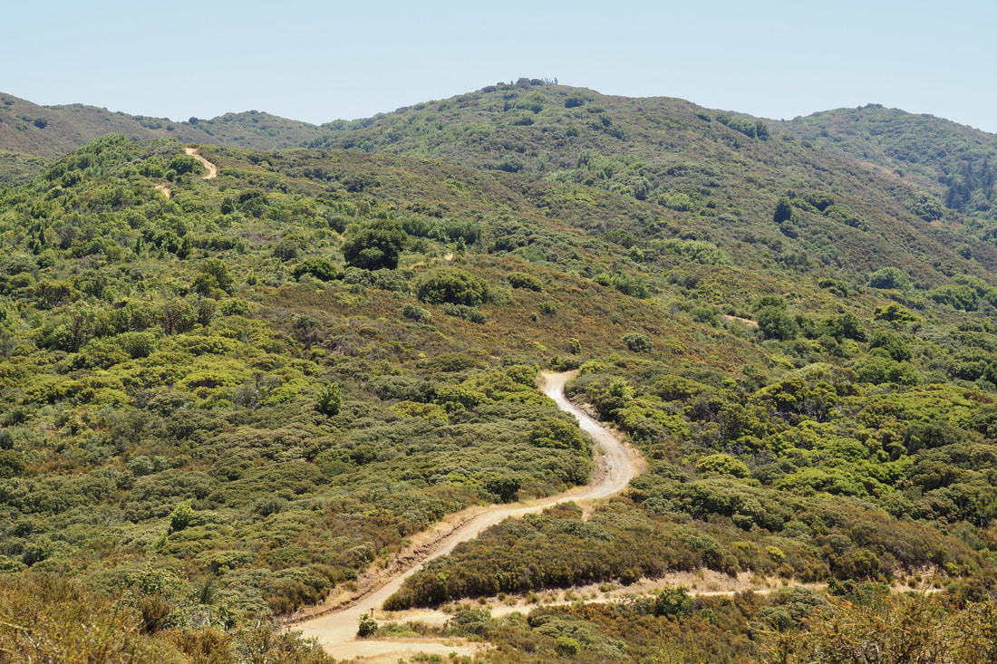
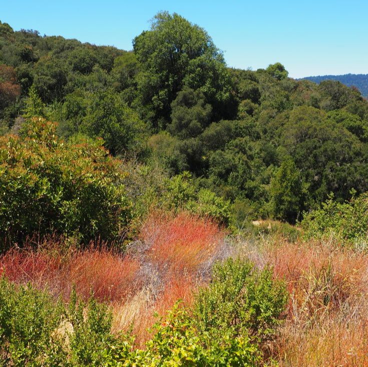
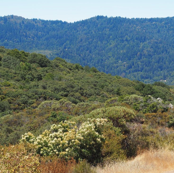
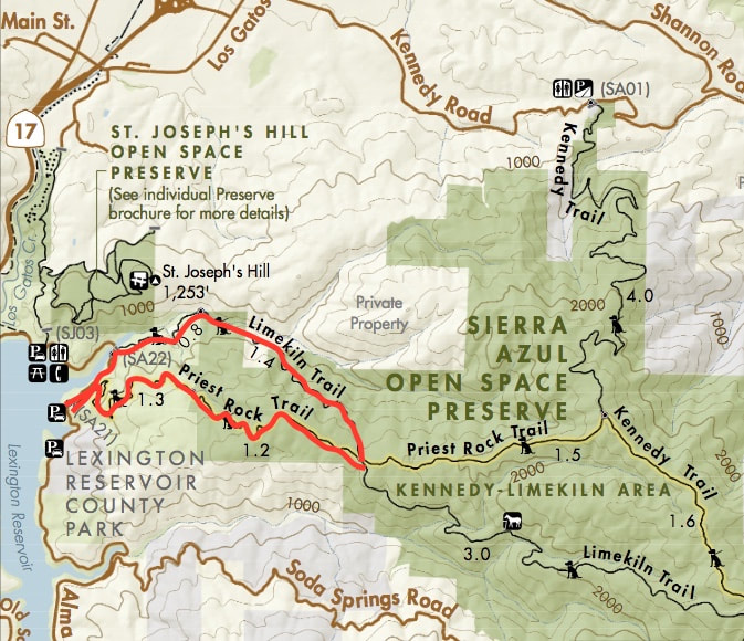
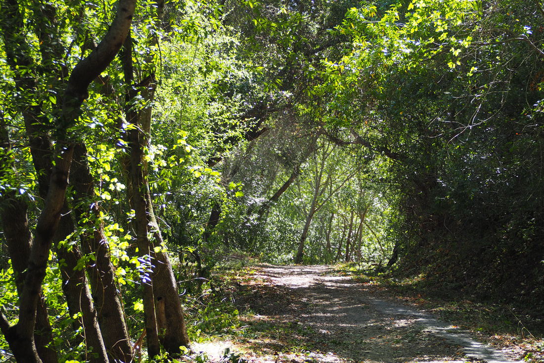
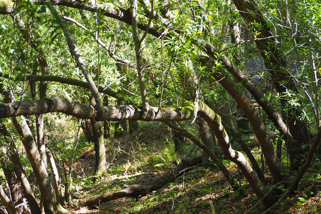
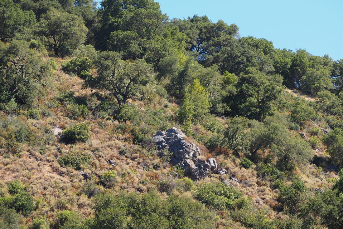
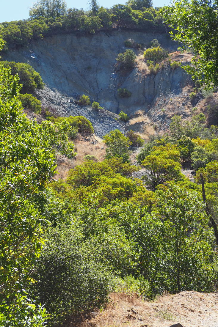
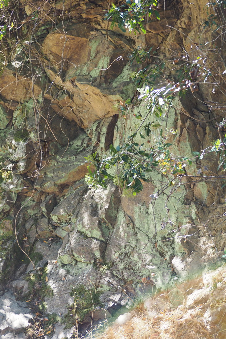
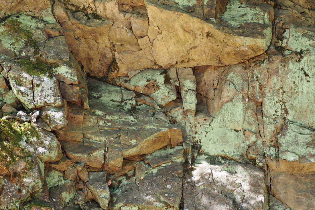
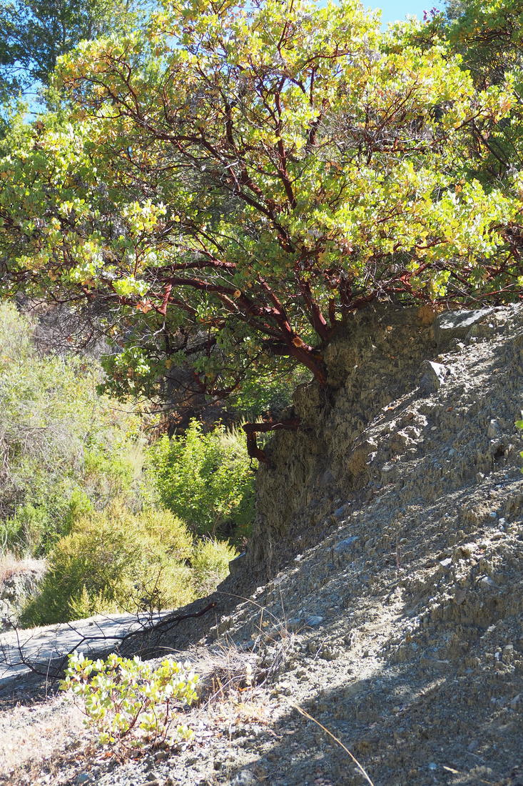
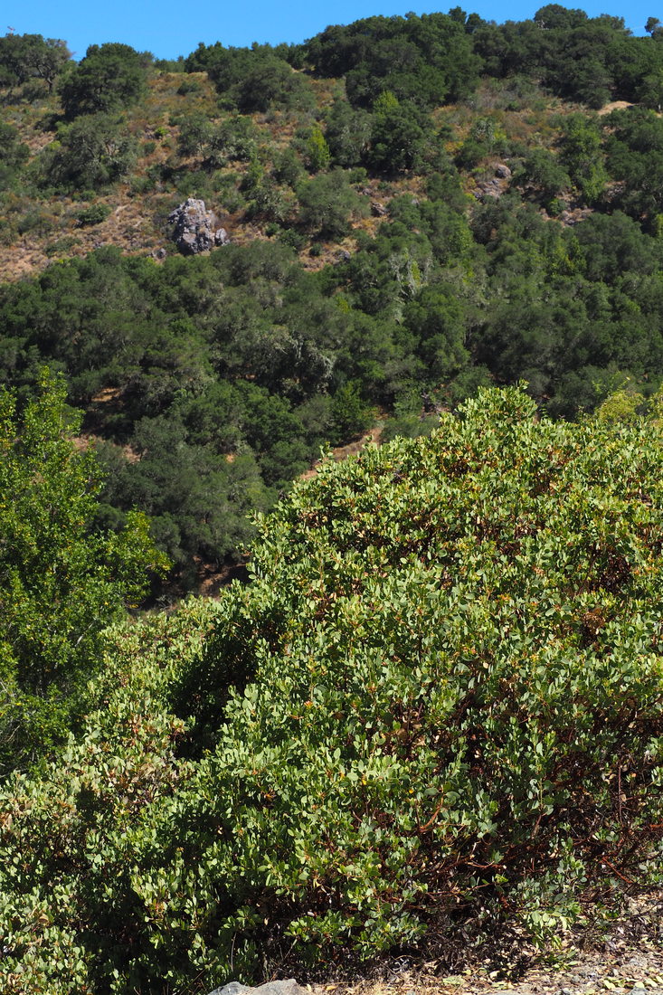
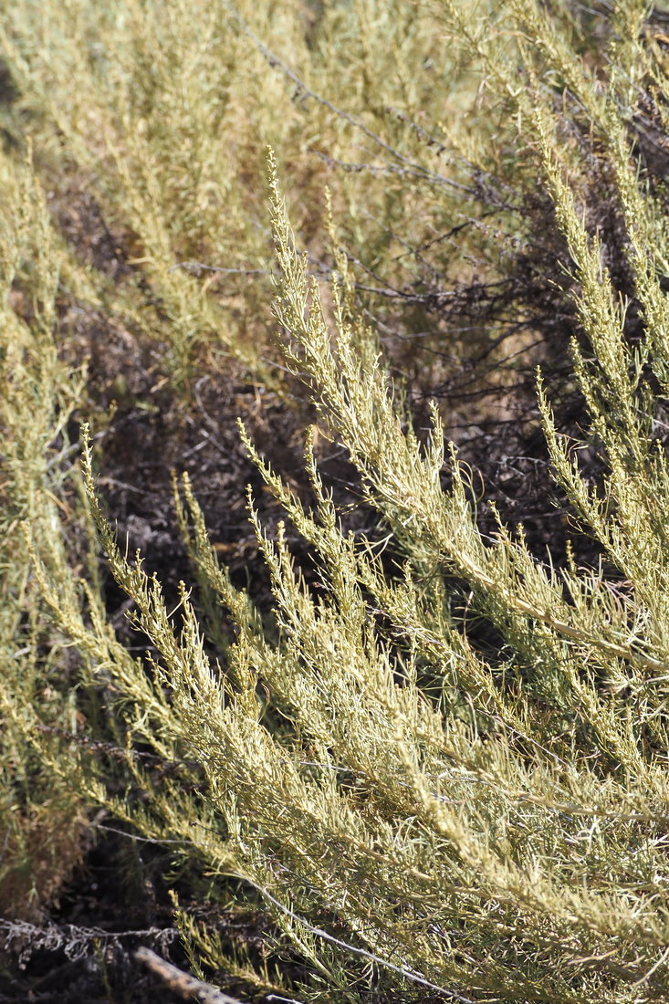
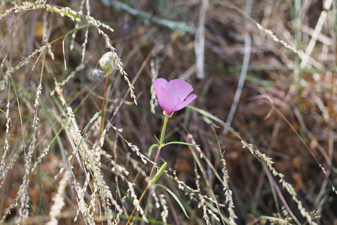
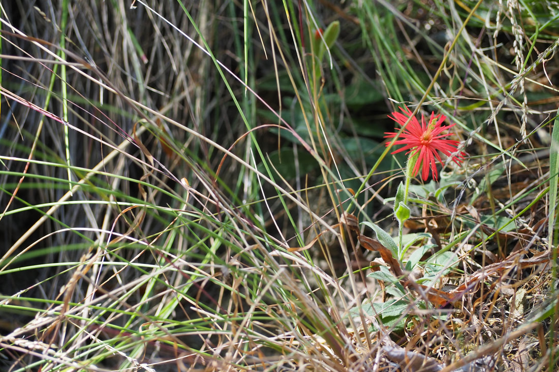
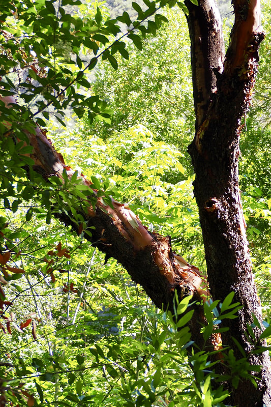
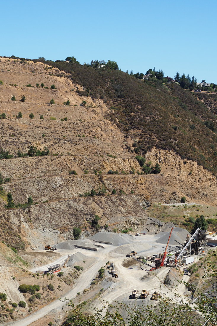
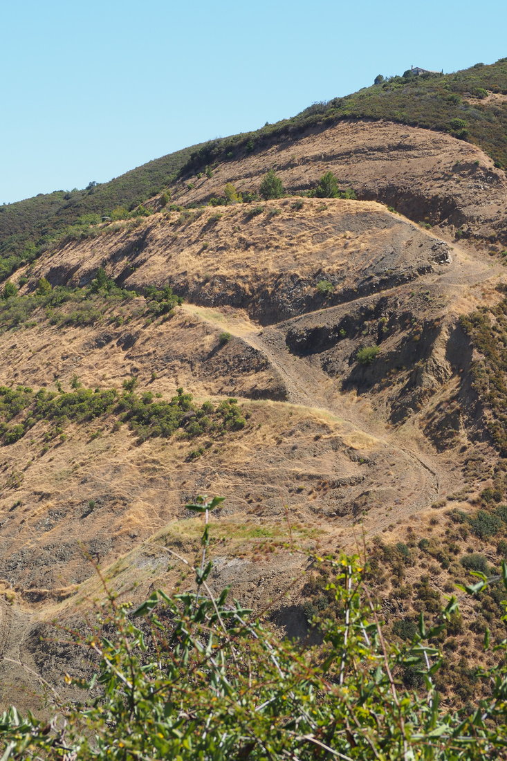
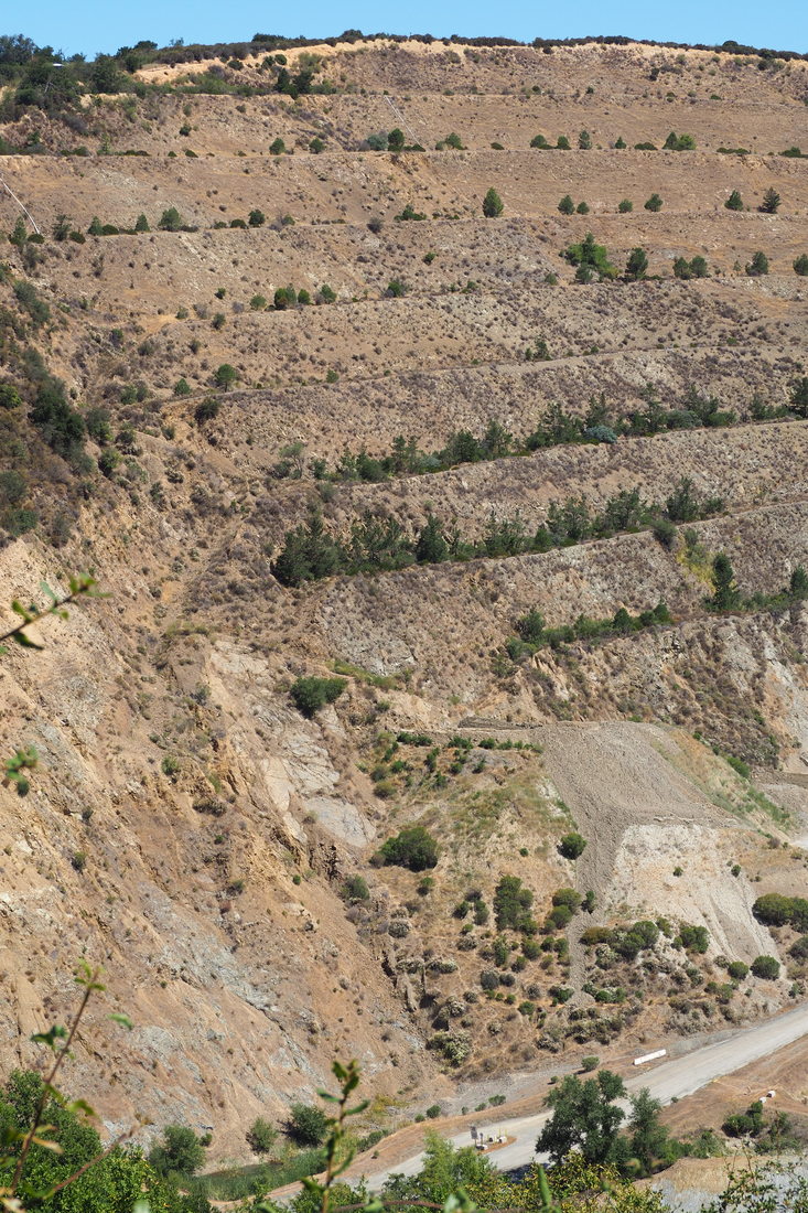
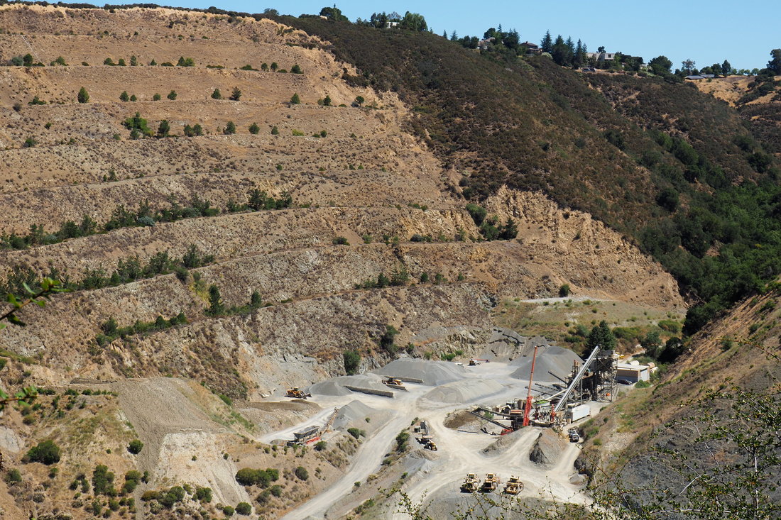
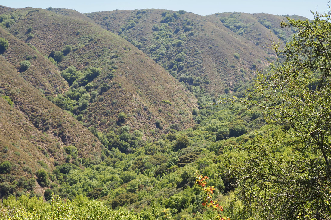
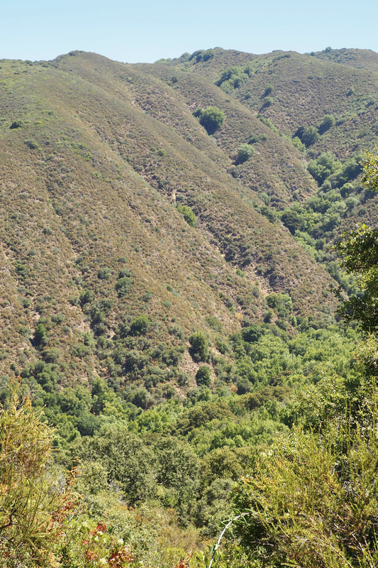
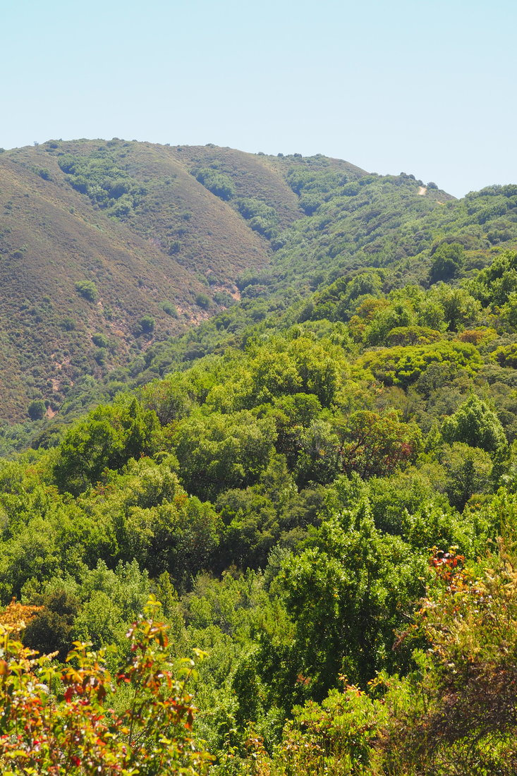
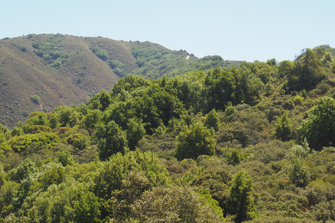
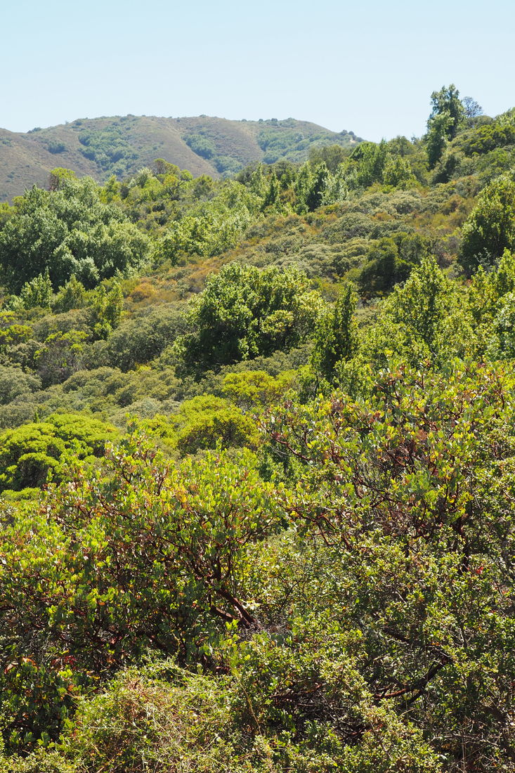
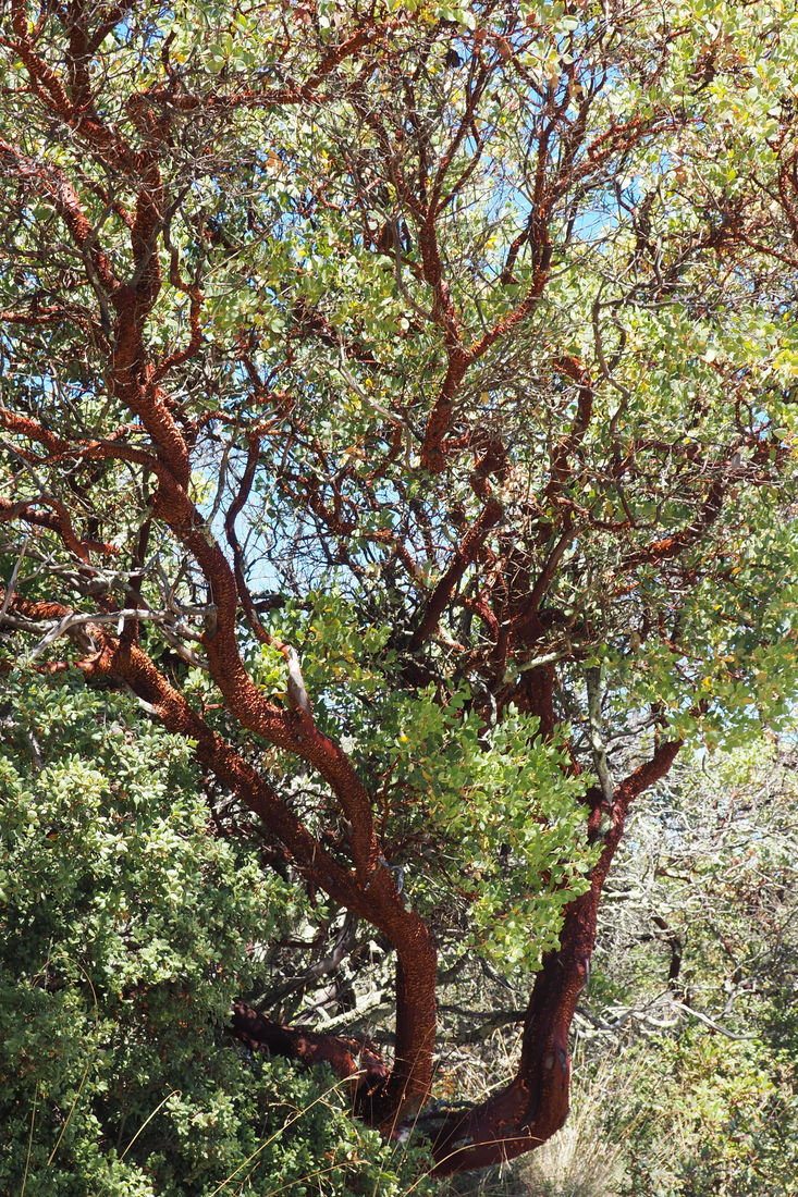
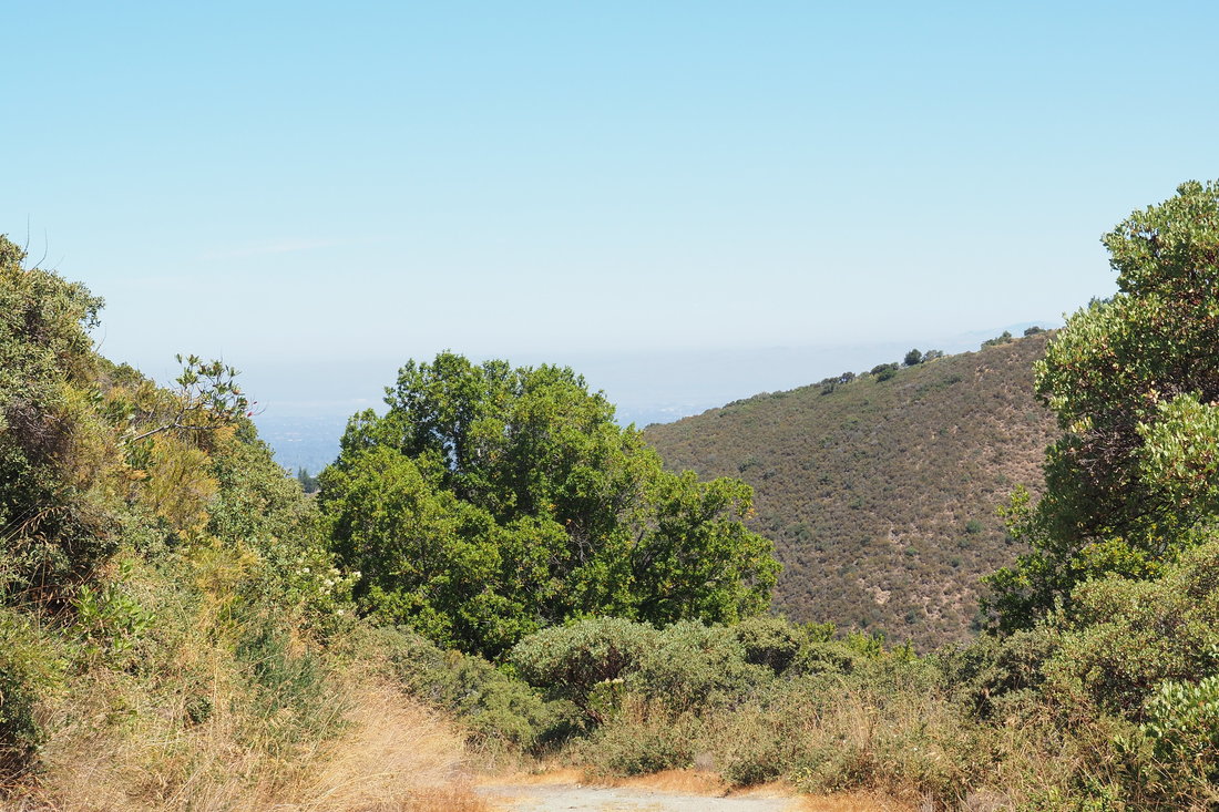
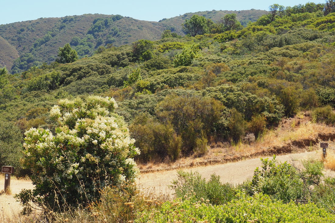
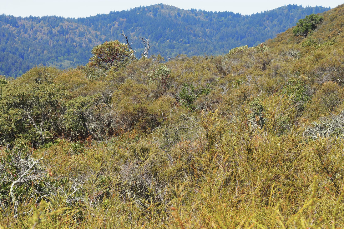
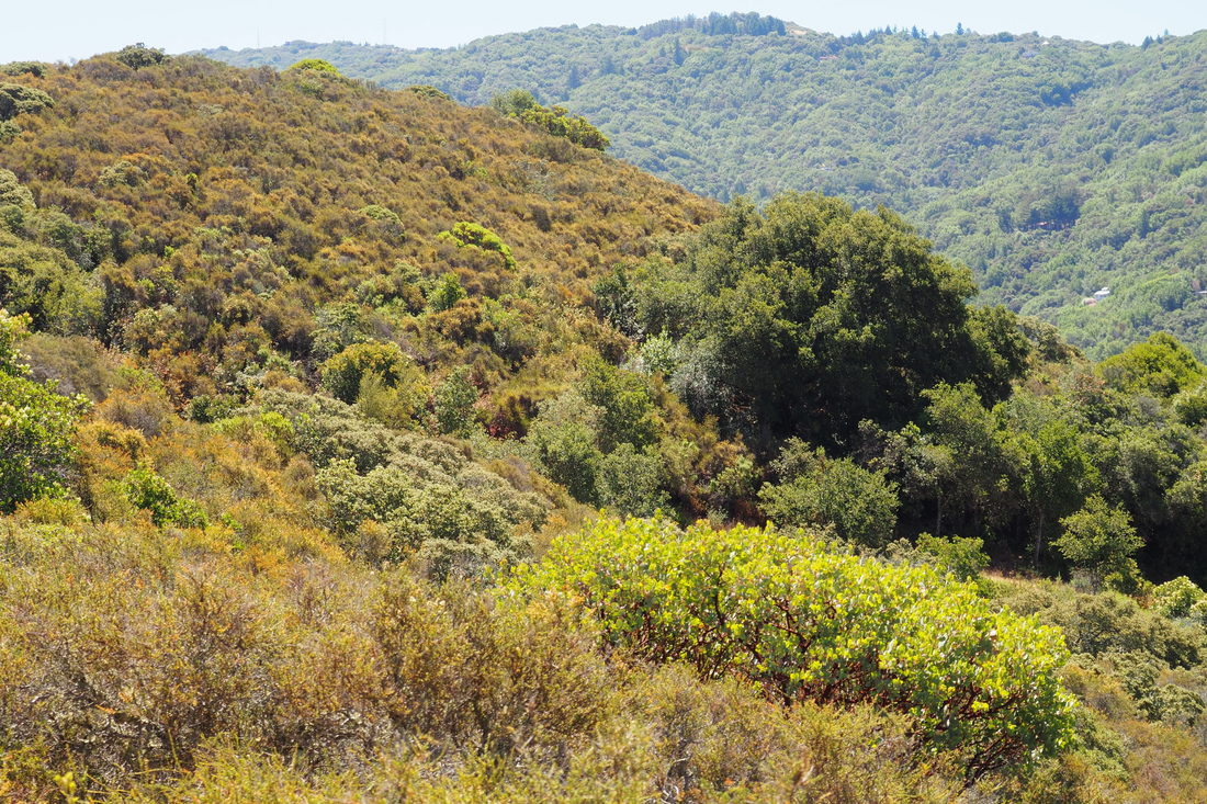
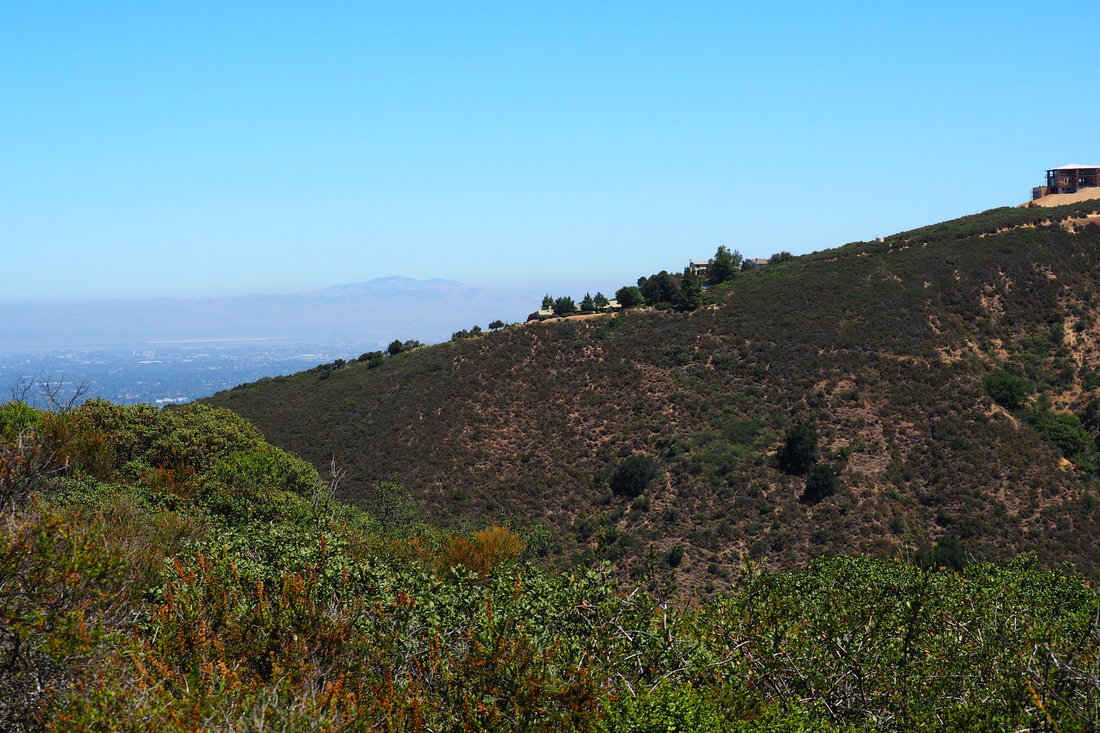
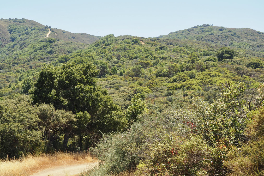
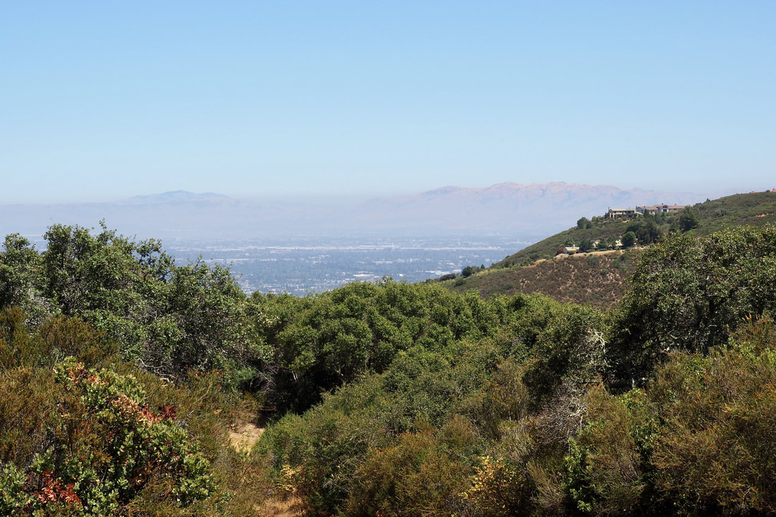
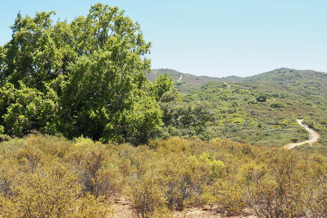
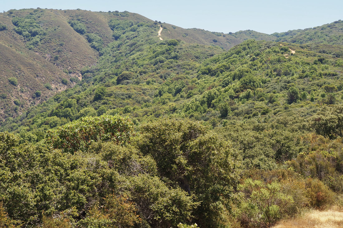
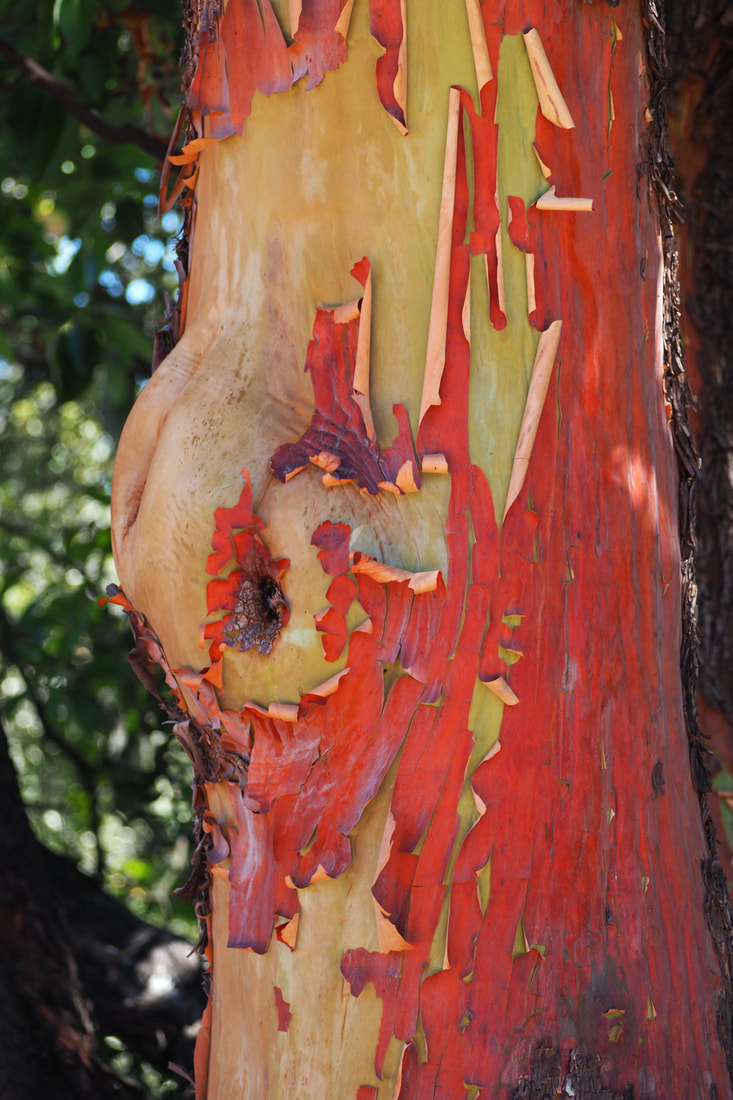
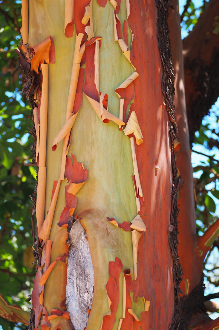
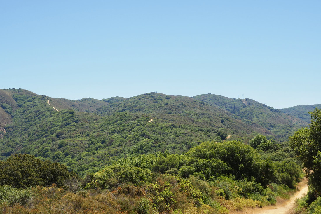
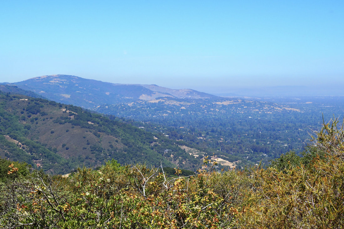
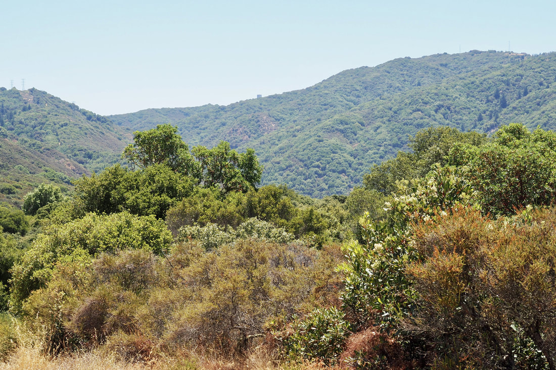
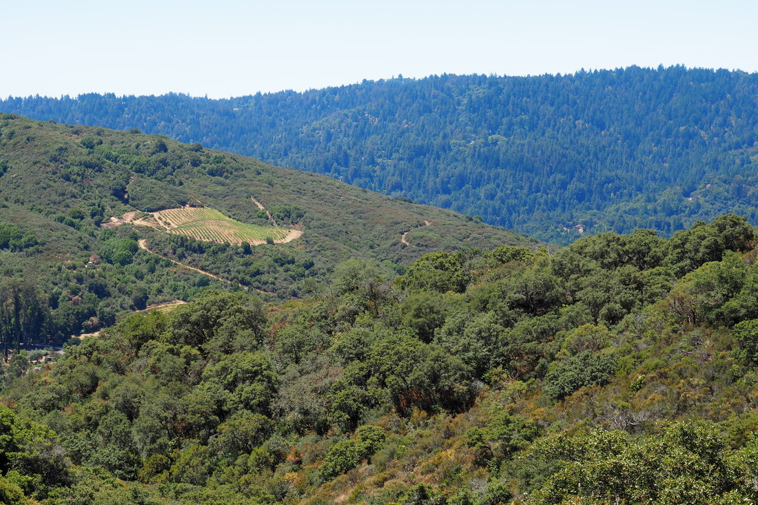
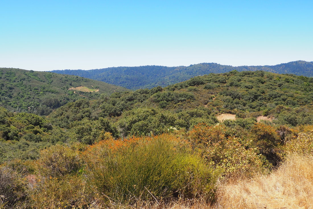
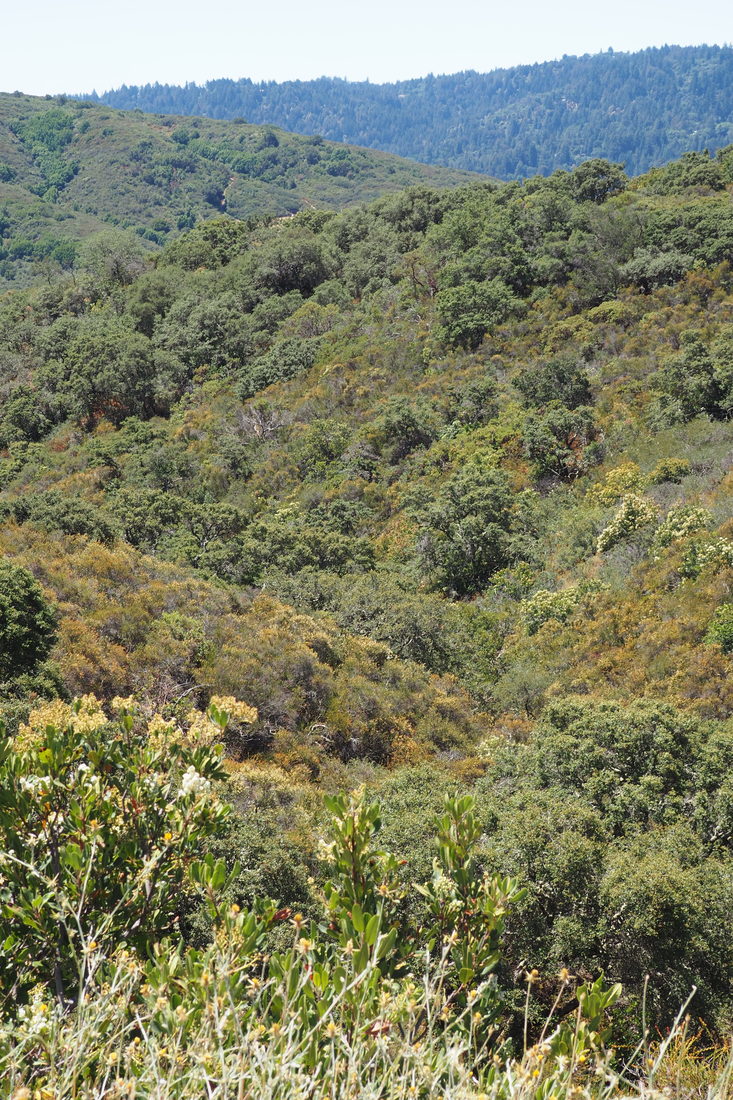
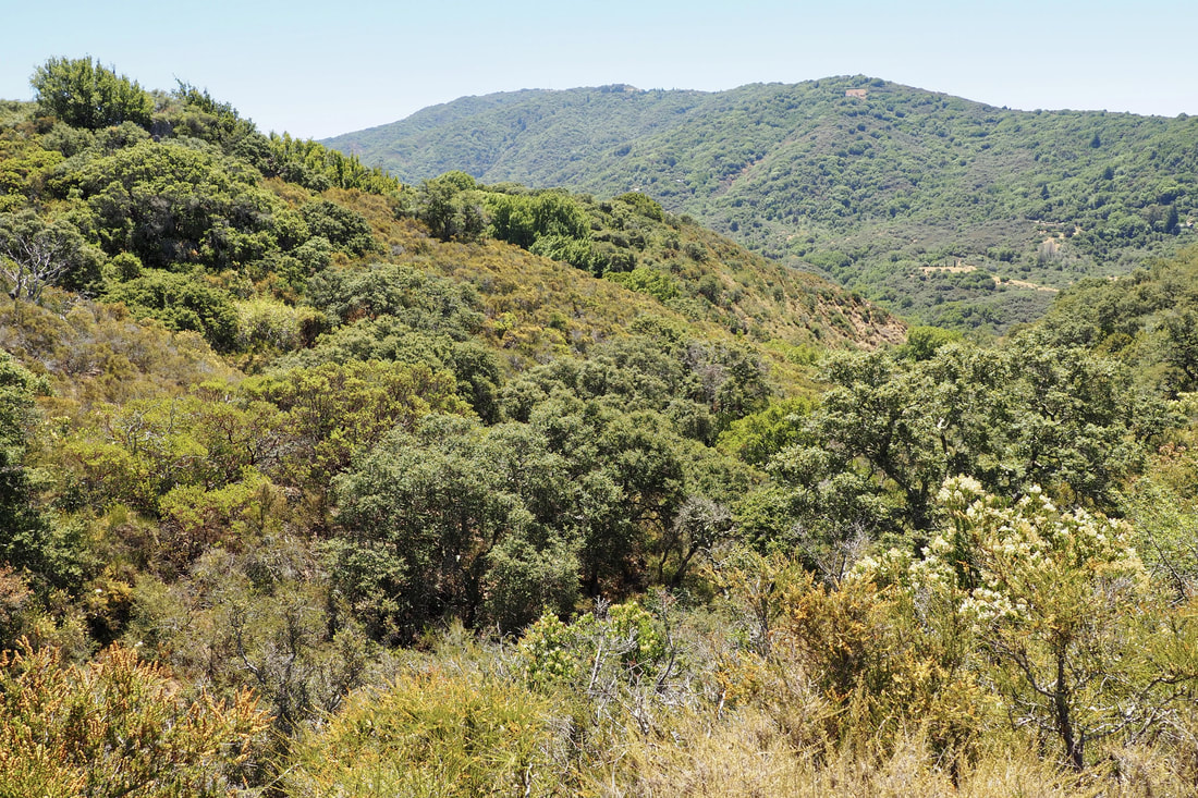
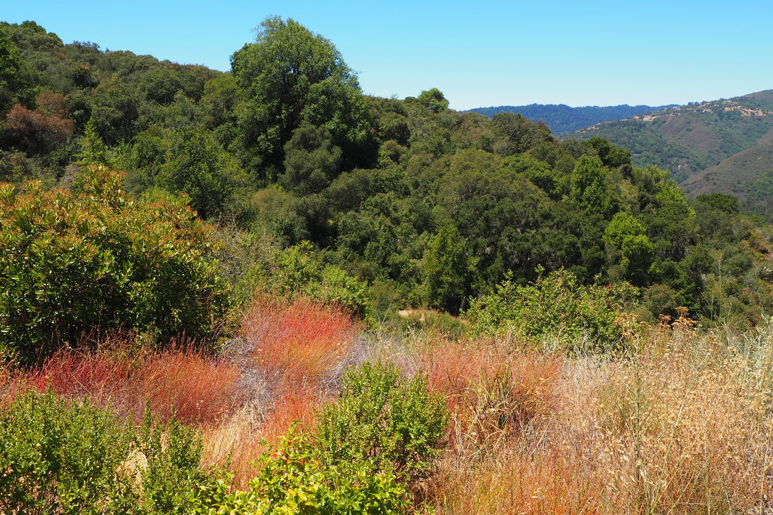
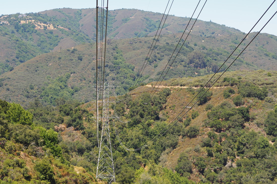
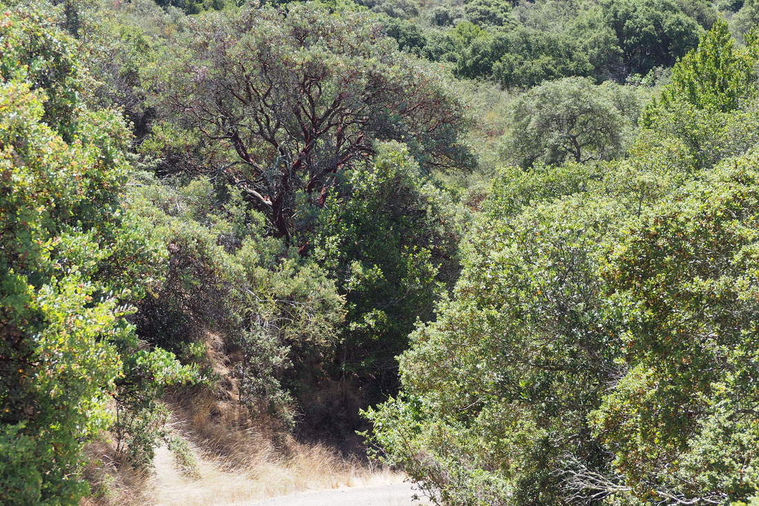
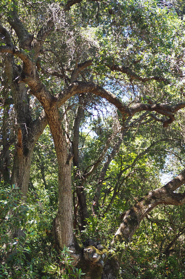
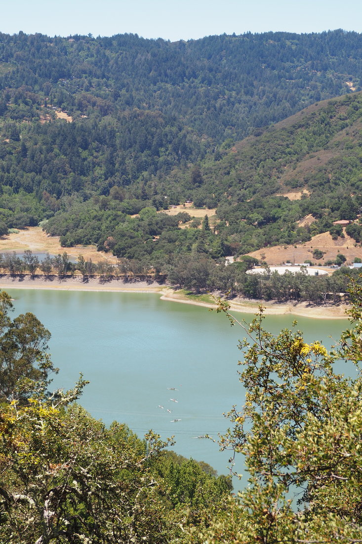
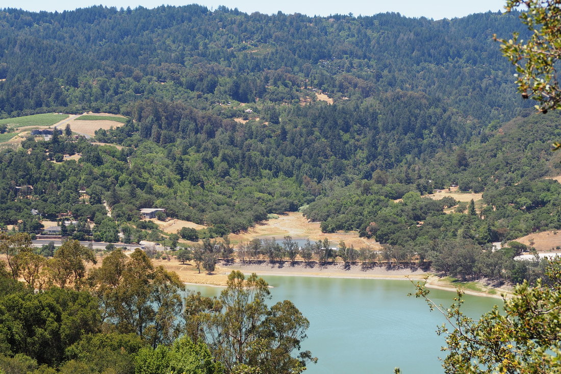
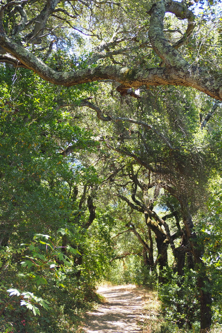
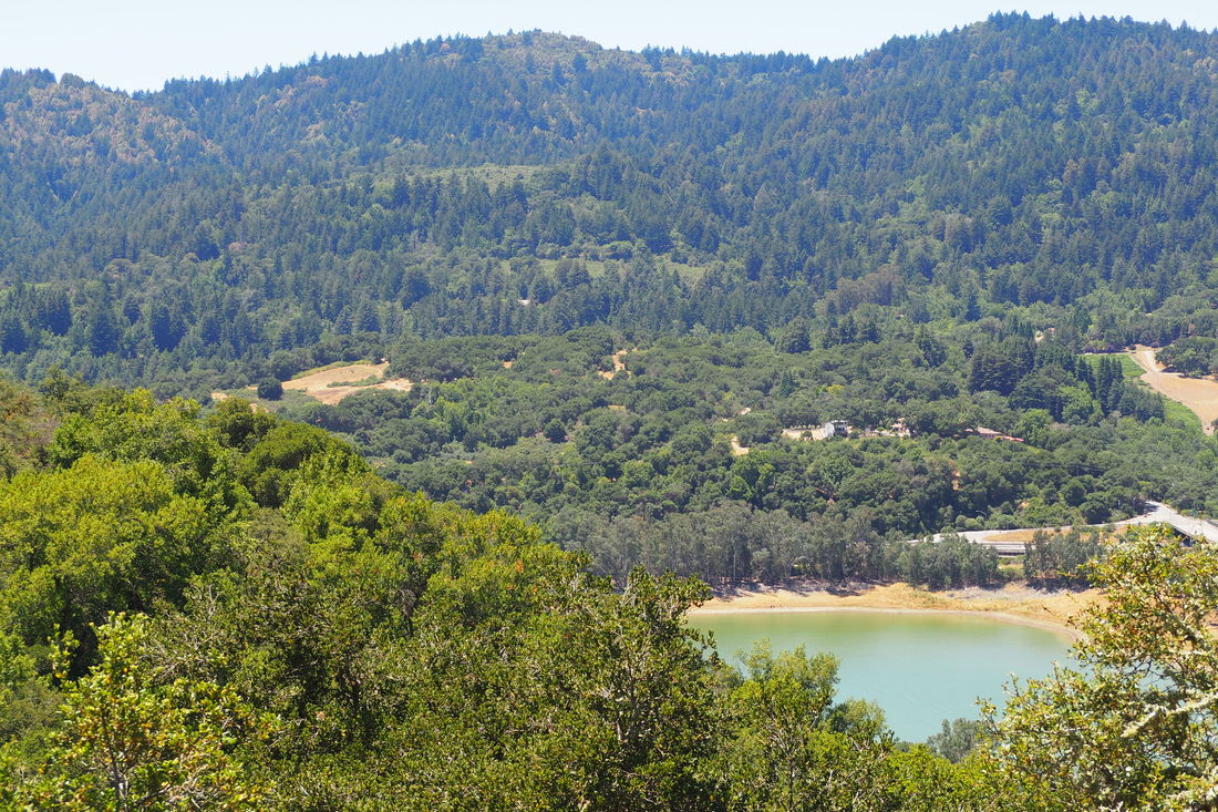
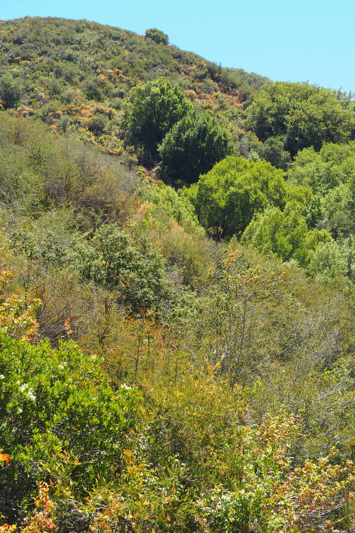
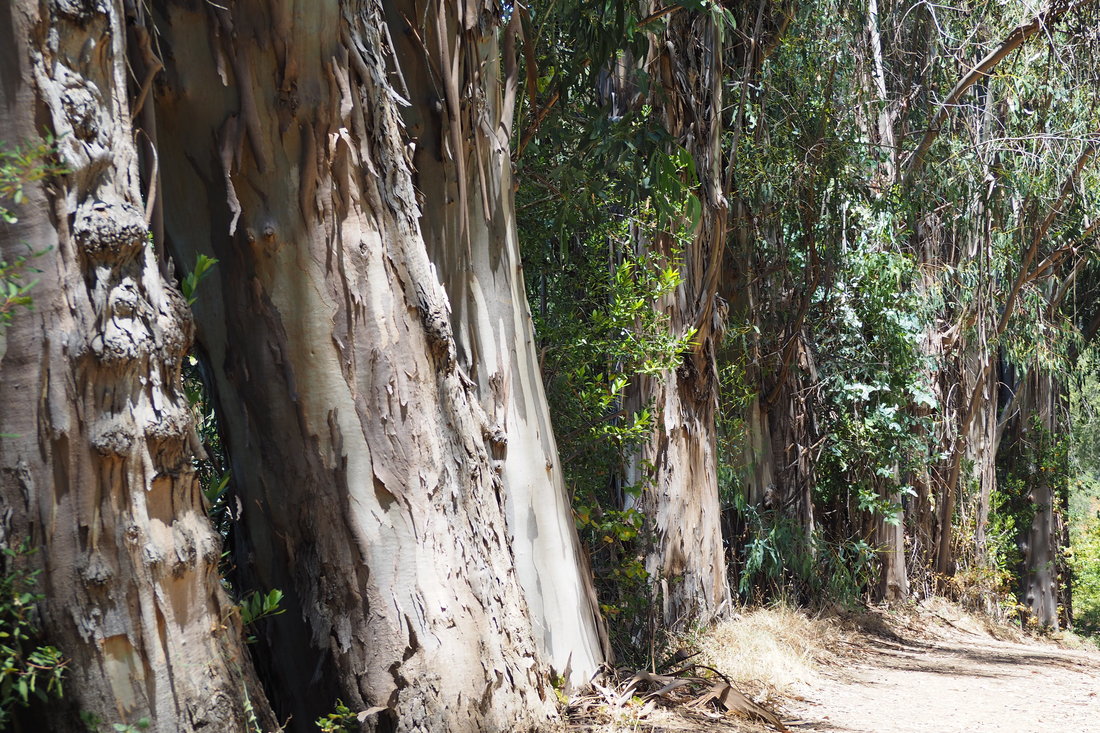
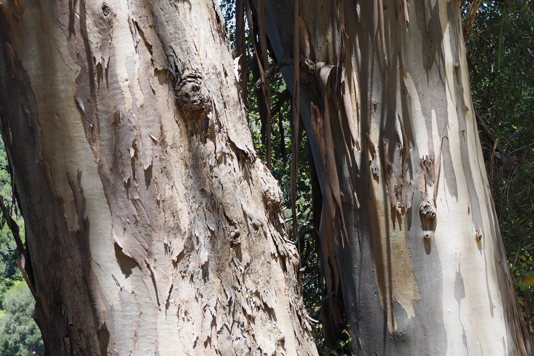
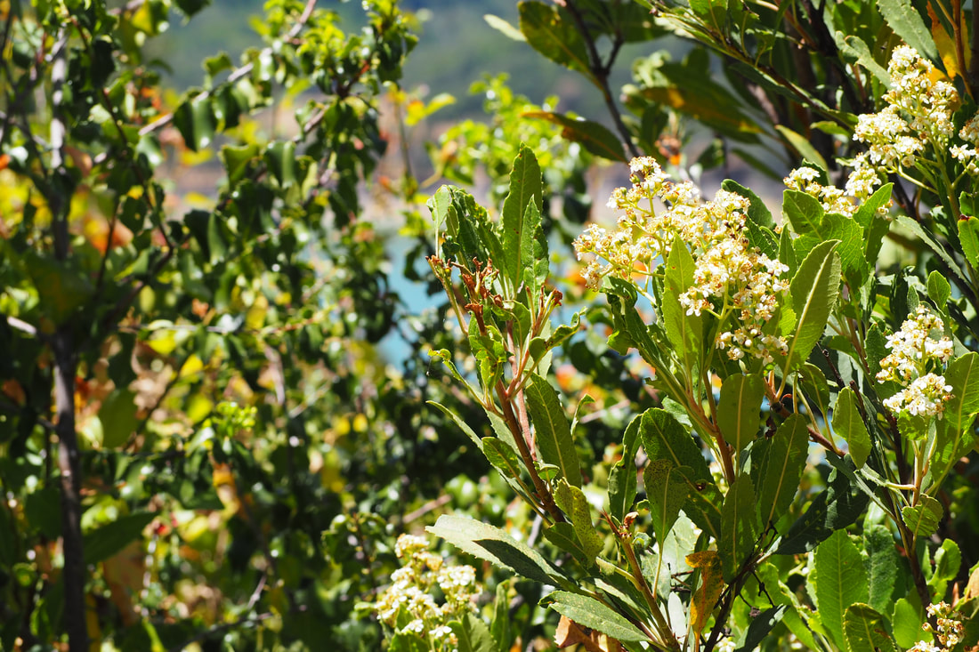
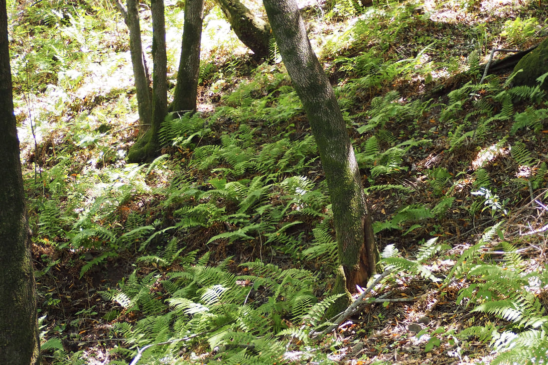
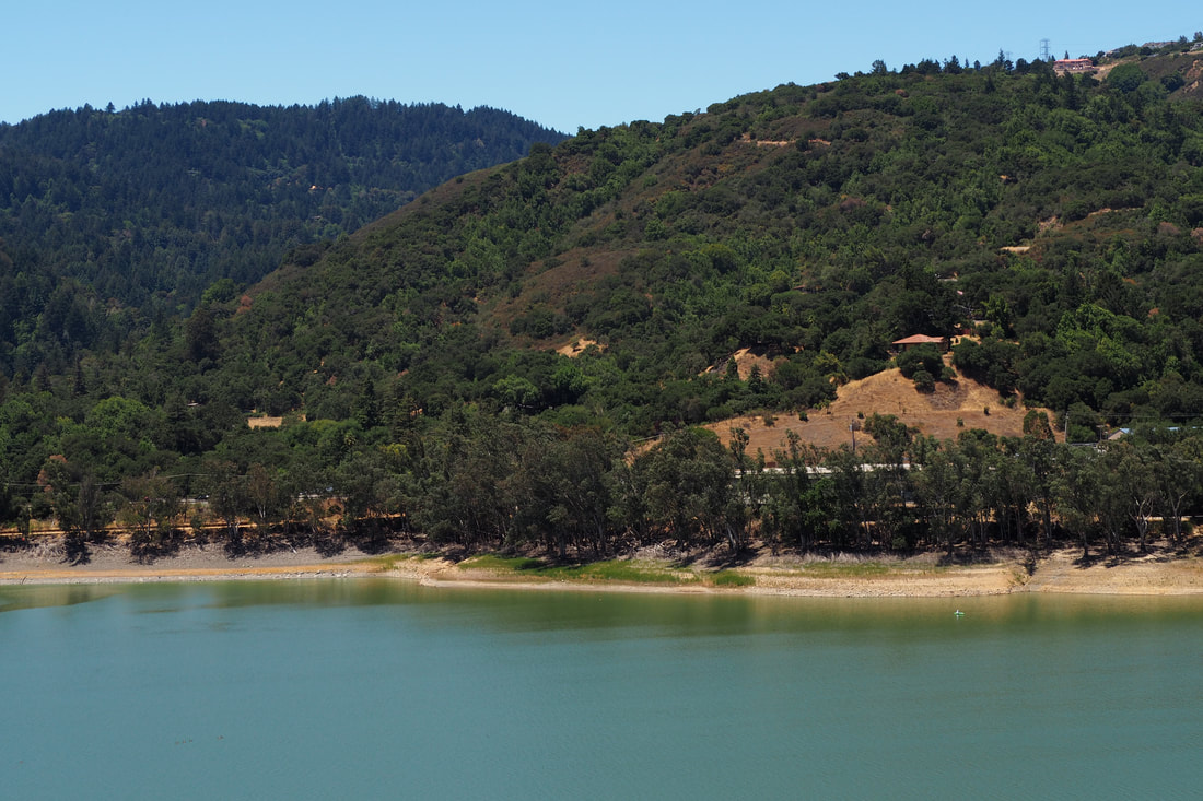
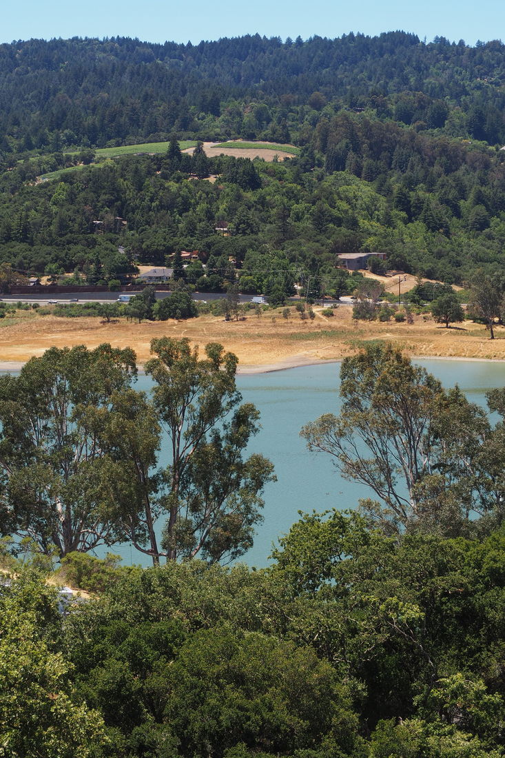
Sierra Azul is the largest preserve in the Midpeninsula Regional Open Space District (MROSD). Here is the blurb on the park from their website:

Just south of the Town of Los Gatos, on the east side of the Lexington Reservoir, sits Sierra Azul, the District's southernmost open space preserve. Translated Sierra Azul means "Blue Range." Encompassing more than 18,000 acres, this is the District's largest Preserve. Sierra Azul Preserve is a true wilderness area, yet surprisingly close to the urban areas of the South Bay, making it a popular destination. Because of its size, Sierra Azul is divided into four areas: Kennedy-Limekiln, Mount Umunhum, Cathedral Oaks, and Rancho do Guadalupe.

Today, I visited the Kennedy-Limekiln area for the first time. I took a loop that is just over 5 miles, and I was treated to a bay laurel forest, a mixed forest of oak and madrone, a chaparral ecosystem with manzanita and chamise (and 360-degree views of mountains), eucalyptus trees, and views of the Lexington Reservoir. 
Picture
Picture
Picture
Picture
I found street parking on the side of the road near Gate SA22. The Limekiln Trail climbs up steeply in the shade of a bay laurel forest. I highly recommend that you take this trail for the loop UP the mountain. It made a world of difference to have deep shade while making the steep ascent. Right after you pass the overview of the quarry, the trail turns into sunny (and hot) chaparral. The nice thing about the exposure is that it affords you opportunity to really see the mountain ranges--both the one that you are walking on and the ones in the distance all around you.
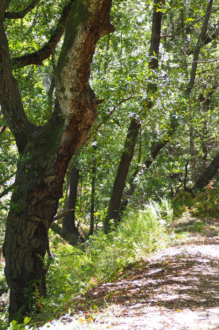
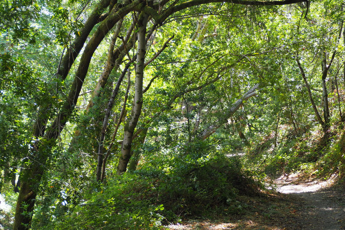
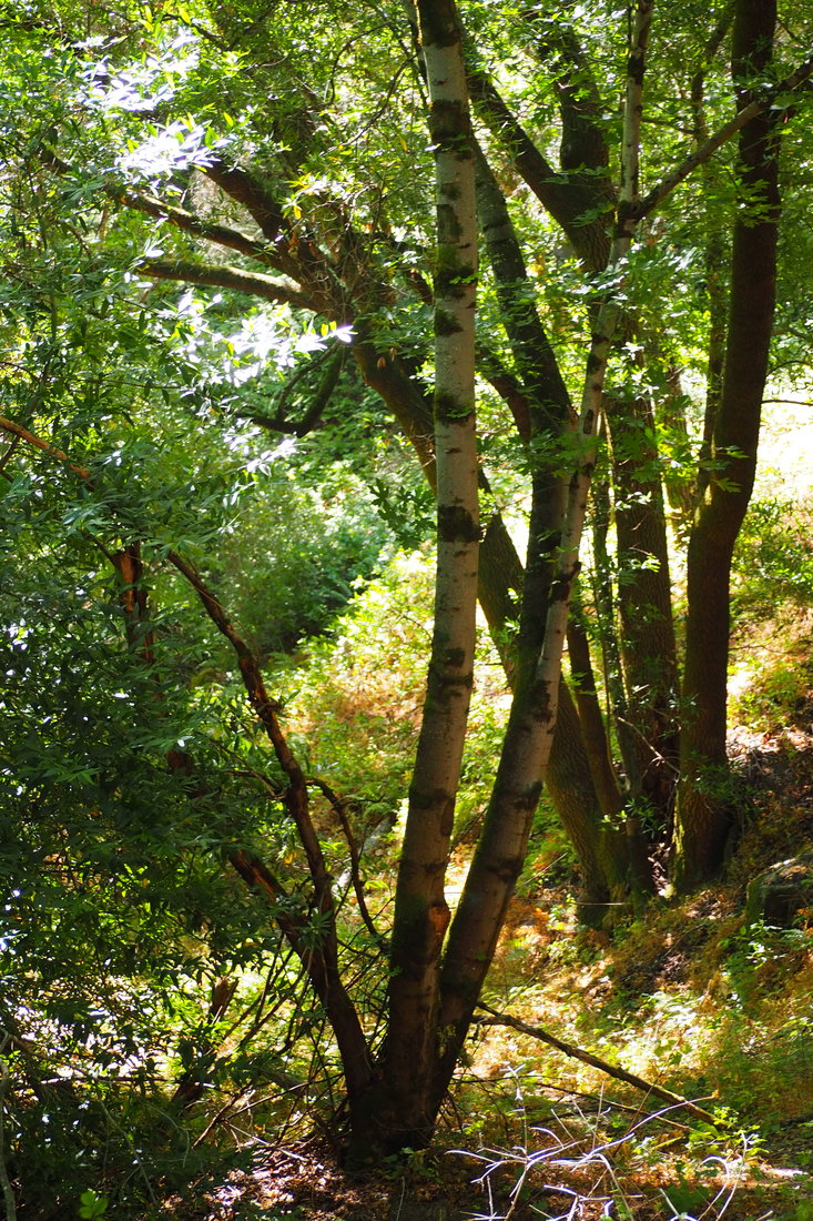
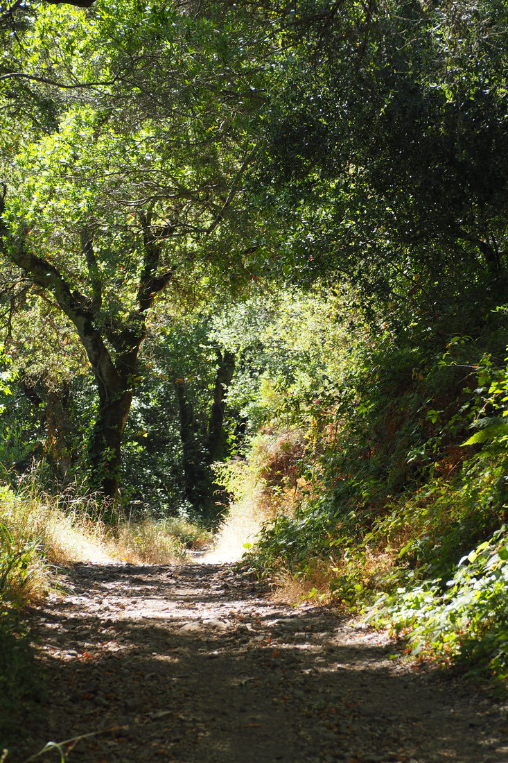
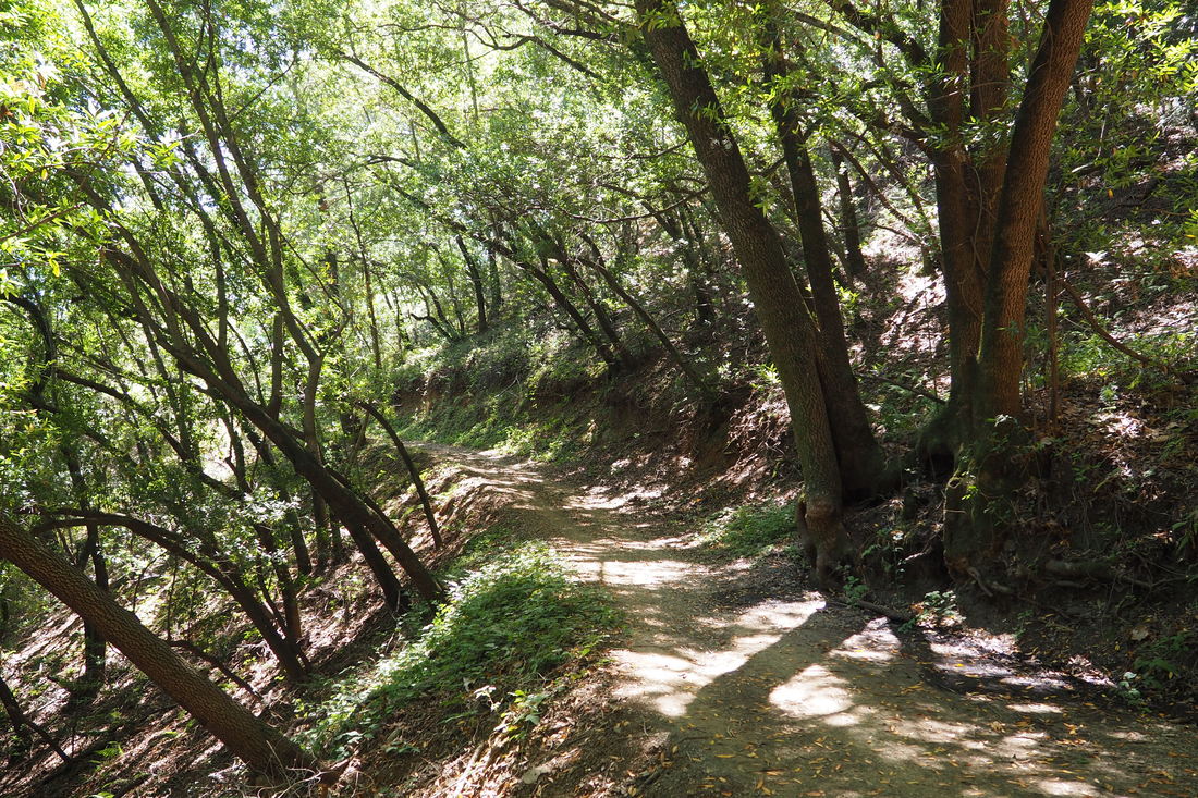
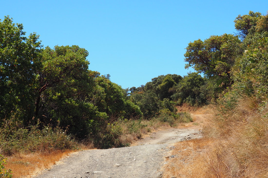
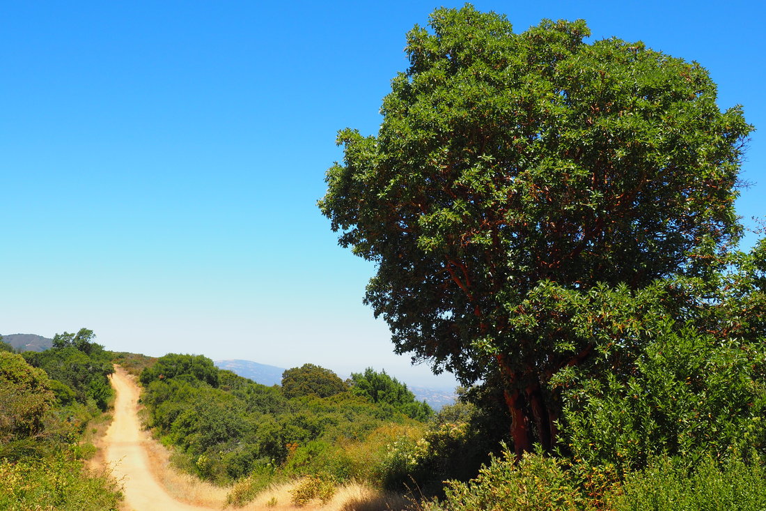
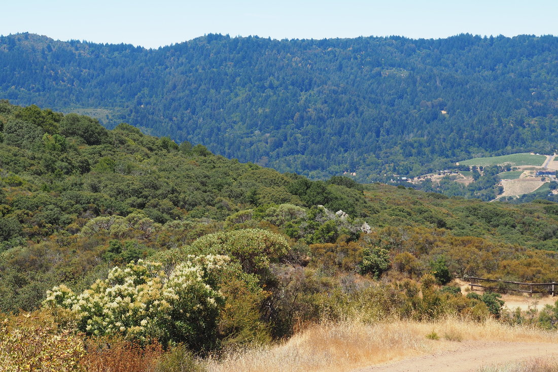
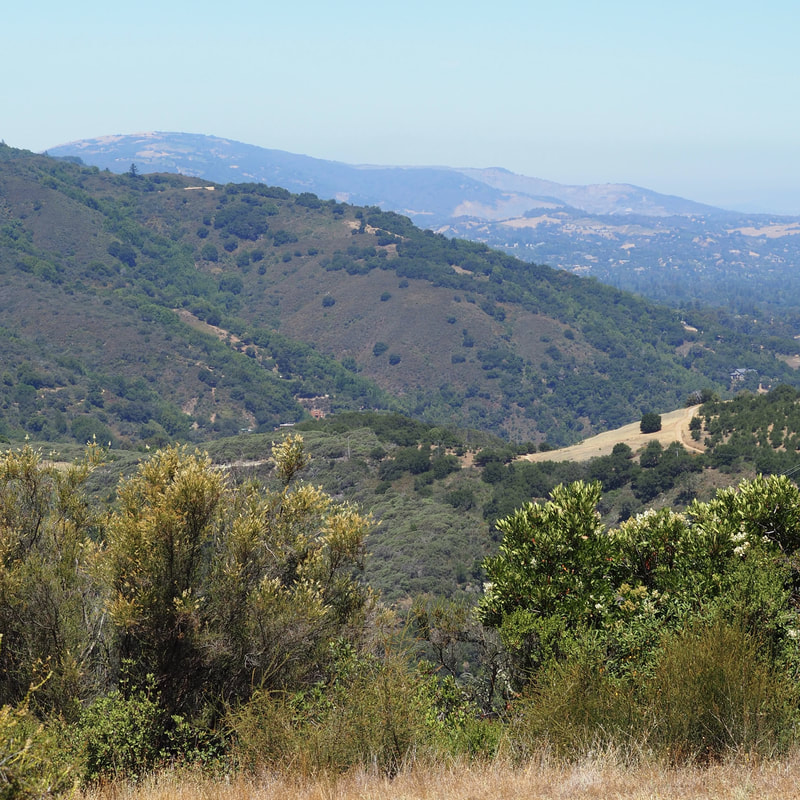
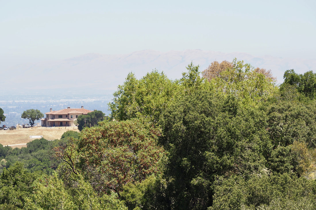
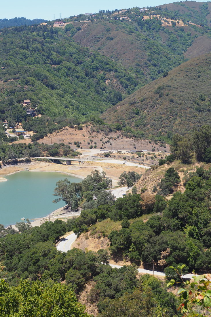
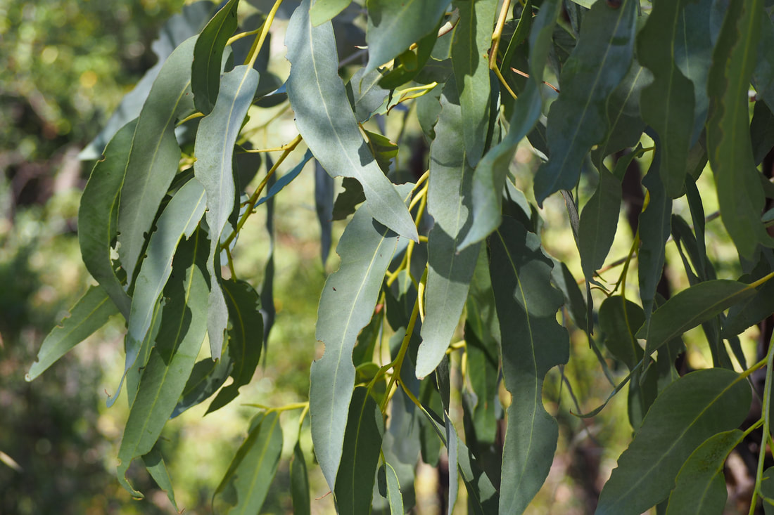
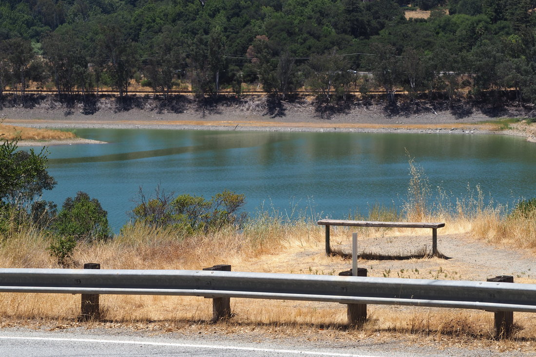
Here, I looped back on the Priest Rock Trail. I would have liked to have made the longer loop (see the map), but it would have more than doubled my total distance and I was worried about not having enough water.

The descent was mostly well graded, with a few steep parts. It was mostly exposed until the trail gets within view of the Lexington Reservoir. At that point, I entered into a mixed forest of oak and madrone, with a few stray eucalyptus trees scattered throughout as I got closer to the water. 

The trail ends on Alma Bridge Road at Gate SA21; from there, it's less than a mile to hike back to your car where you parked it.

I really enjoyed this hike, and would happily do it again; however, I don't think that it would be fun to try to do this with my baby in an infant carrier. This seems better suited for just adults; to visit this area in a kid-friendly way, try the Lexington Reservoir County park for a picnic and some swimming in the water! The boat launch area would be perfect for that.
0 Comments


Leave a Reply.

    Archives

    December 2020
    November 2020
    October 2020
    September 2020
    August 2020
    July 2020
    June 2020
    May 2020
    April 2020
    March 2020
    February 2020
    January 2020
    December 2019
    November 2019
    October 2019
    September 2019
    August 2019
    July 2019
    June 2019
    May 2019
    April 2019
    March 2019
    February 2019
    January 2019
    December 2018
    November 2018
    October 2018
    September 2018
    August 2018
    July 2018
    June 2018
    May 2018
    April 2018
    March 2018
    February 2018
    January 2018
    November 2017
    October 2017
    September 2017
    August 2017
    April 2017
    March 2017
    February 2017
    January 2017
    November 2016
    October 2016
    September 2016
    August 2016
    July 2016
    June 2016
    May 2016
    April 2016
    March 2016
    February 2016
    January 2016
    December 2015
    November 2015
    October 2015
    September 2015

    Categories

    All
    Art Expedition
    Bay Laurel Trees
    Bayside
    Beaches
    Berkeley City Parks
    Bureau Of Reclamation
    Camping
    Cliffs
    Coastside
    Contra Costa Water District
    Creeks
    Deserts
    East Bay Municipal Utility District
    East Bay Regional Park District
    EBRPD Trails Challenge
    Eucalyptus
    Flat Hikes
    Gulf Coast Family Vacation
    Historical Sites
    Kid Friendly
    Lakes
    LARPD
    Length: 10 To 15 Miles
    Length: 15+ Miles
    Length: 1 To 5 Miles
    Length: 5 To 10 Miles
    Madrones
    Manzanita
    Maples
    Marin County Parks
    Midpeninsula Regional Open Space Preserves
    Mountains
    Museums
    National Forest Service
    National Parks
    National Wildlife Refuge
    Oakland City Parks
    Oaks
    Palo Alto & Atherton Parks
    Peninsula Open Space Trust
    Pleasanton City Parks
    Portola Valley Town Trails
    Redwoods
    Rocks
    San Francisco City Parks
    San Mateo County Parks
    Santa Clara County Parks
    Santa Cruz City Parks
    Sierras
    Stanford
    State Parks
    Swimming Holes
    Sycamores
    Trains
    Tri-Valley
    UC Berkeley
    UC Davis
    Walnut Creek Parks
    Wetlands
    Wildflowers
    Wildlife
    Zoos Farms & Wildlife Preserves

    RSS Feed

Powered by Create your own unique website with customizable templates.
  • Home
  • About
  • Regions
  • Parks
  • Trails
  • Photography