Lonely Hiker
  • Home
  • About
  • Regions
  • Parks
  • Trails
  • Photography

Trails

Dublin Hills Regional Park

10/19/2019

0 Comments

 
Picture
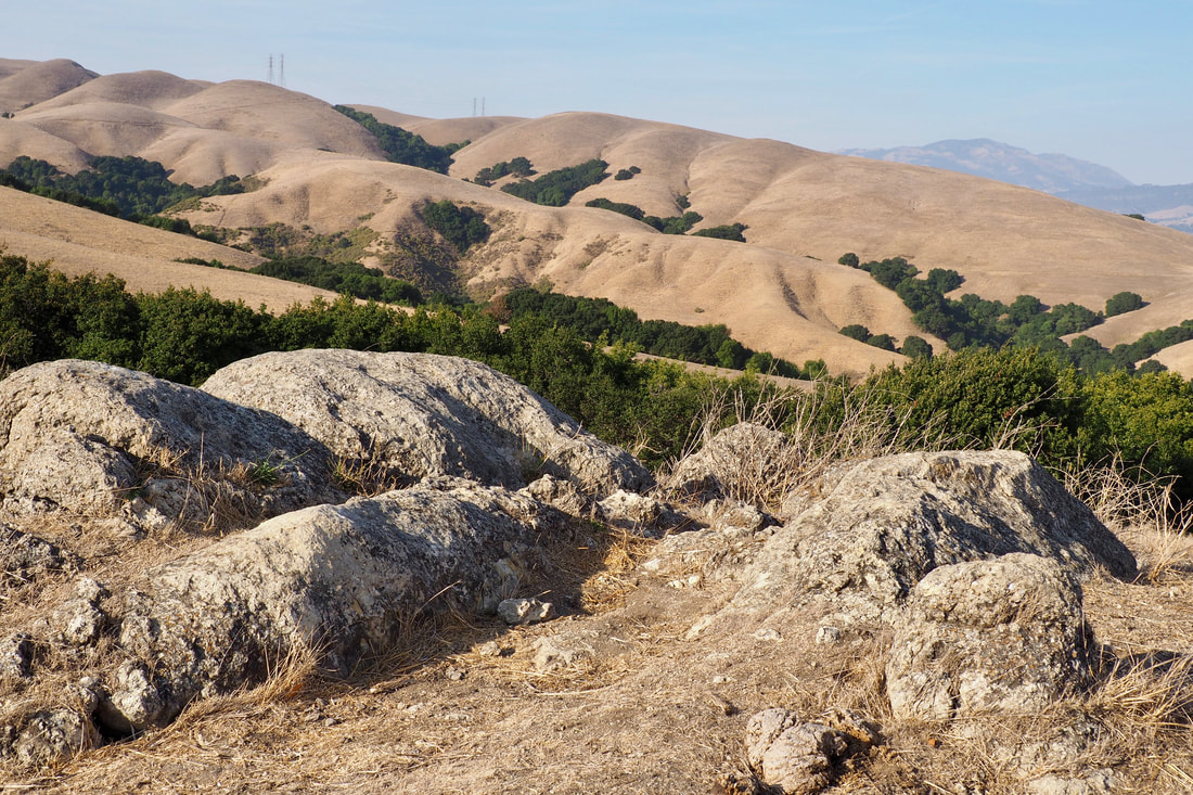
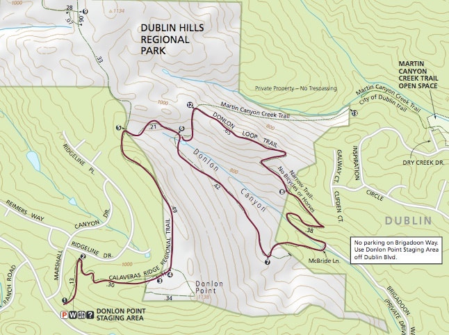
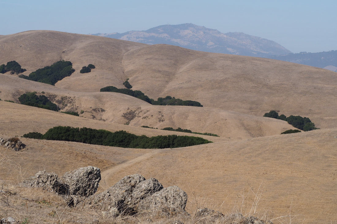
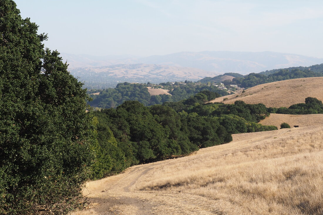
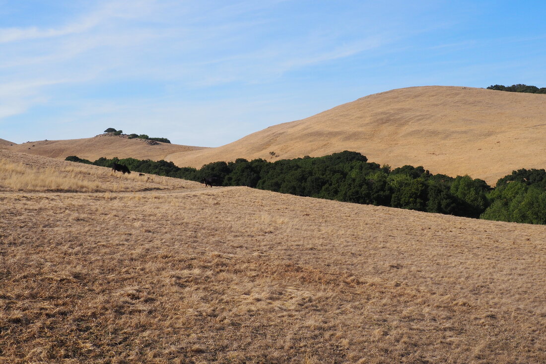
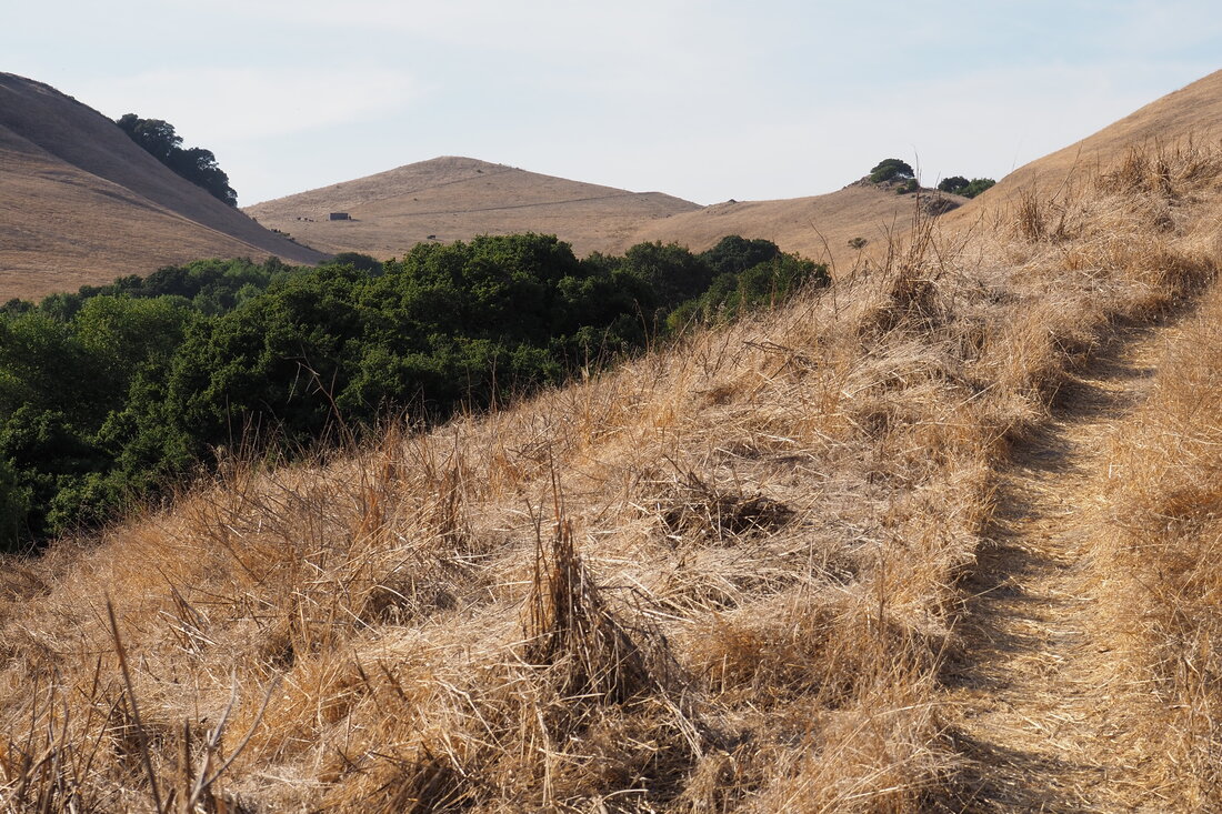
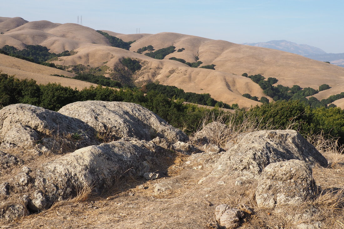
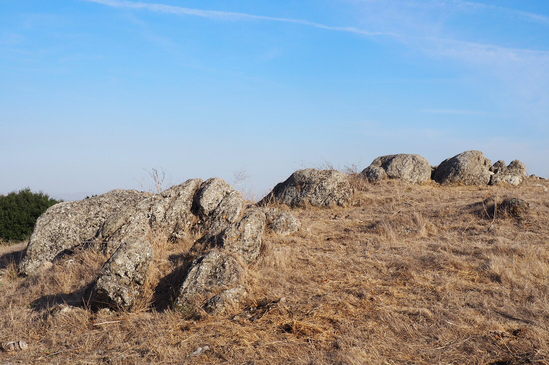
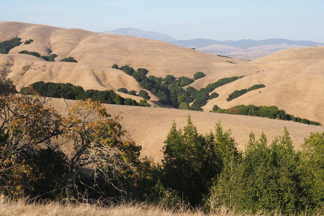
I don't know why exactly, but I was expecting this park to be lame. I guessed from looking on the map at how close it is to both interstates 580 and 680 that it was going to be nothing but exposed ridgetop hikes with deafening traffic noise. While there was some hiking along the exposed Calaveras Ridge, the hike I took descended into a canyon and I could neither hear nor see the busy freeways nearby. It was unexpectedly tranquil!
Picture
Picture
Picture
Picture
I parked at the Donlon Point Staging Area to start my "lollipop" hike. The stick of the lollipop was my least favorite part of this 5.5-mile hike, but it wasn't bad at all. The trail snakes around to the side of Donlon Point that faces away from the interstate, so you very quickly get to quiet grazing land. It's interesting to see the housing development so precariously perched on the Dublin Hills.
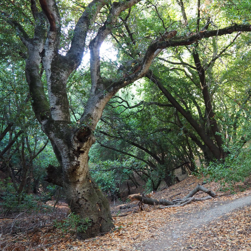
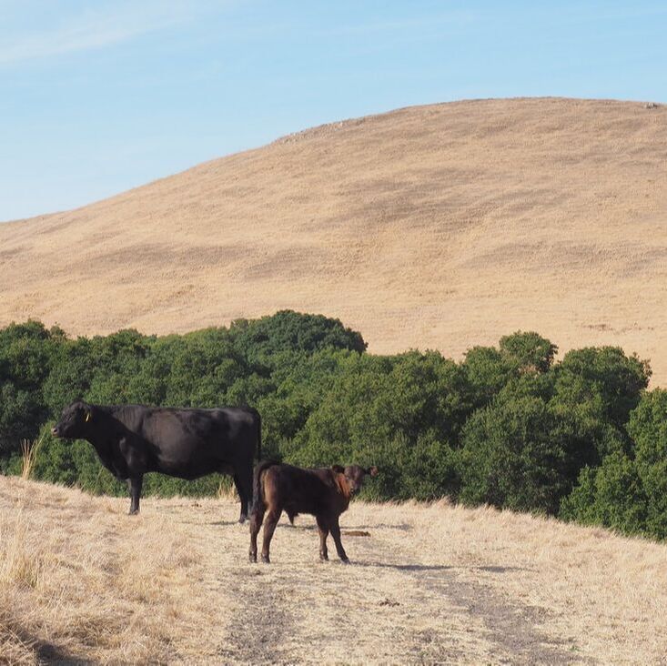
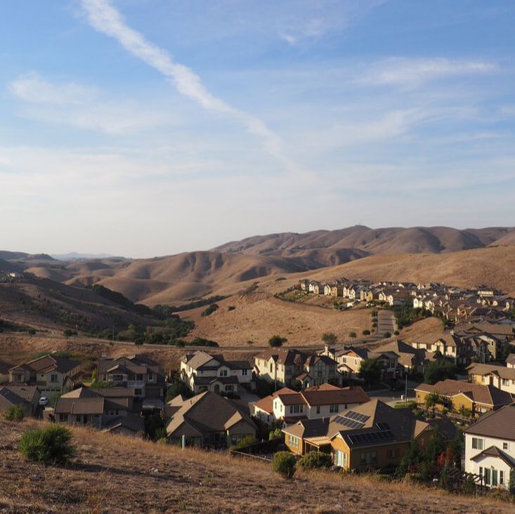
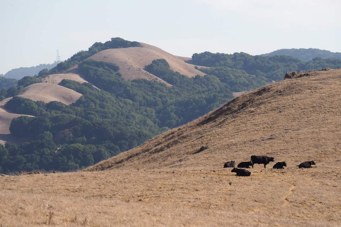
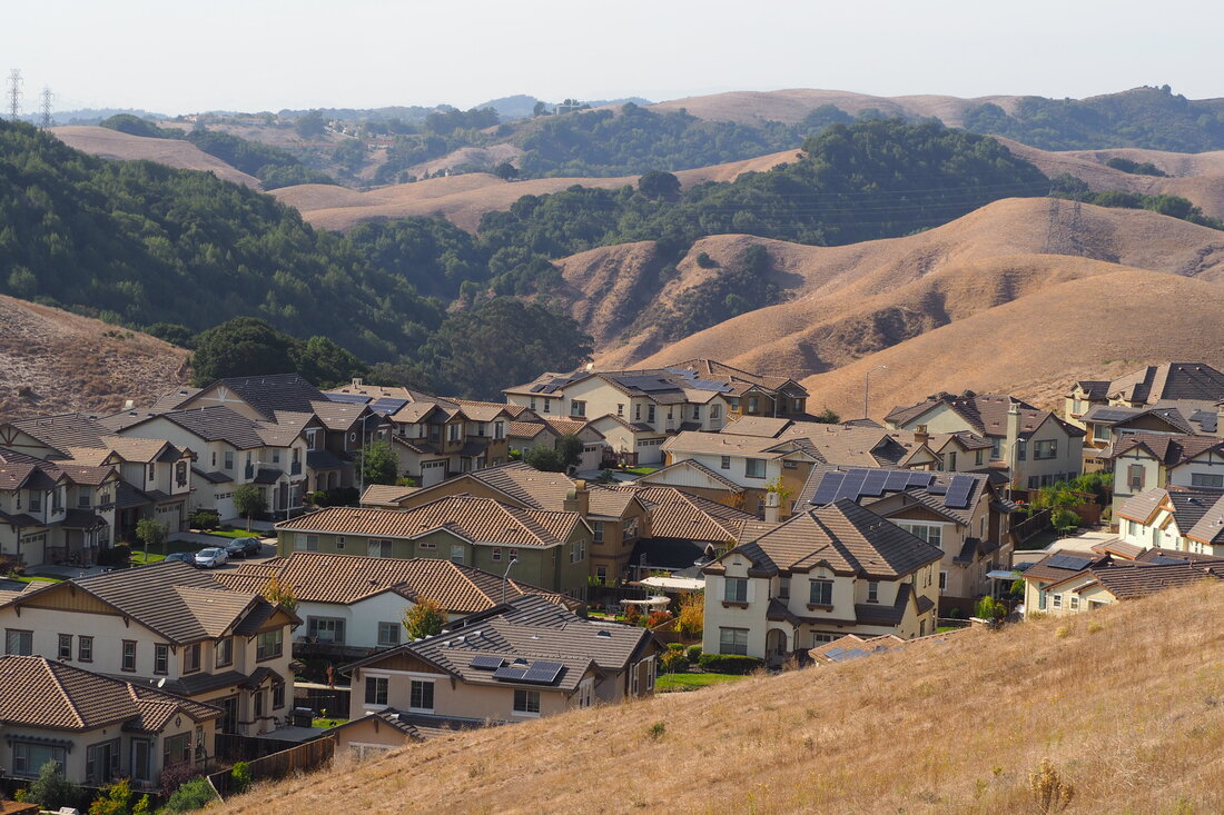
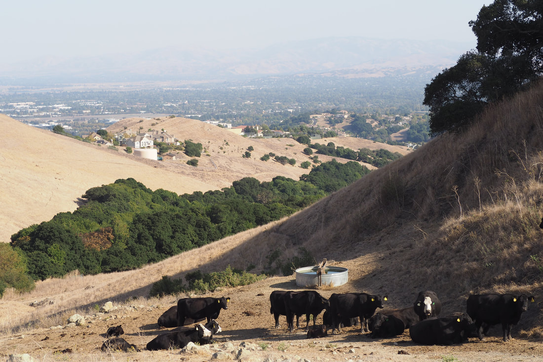
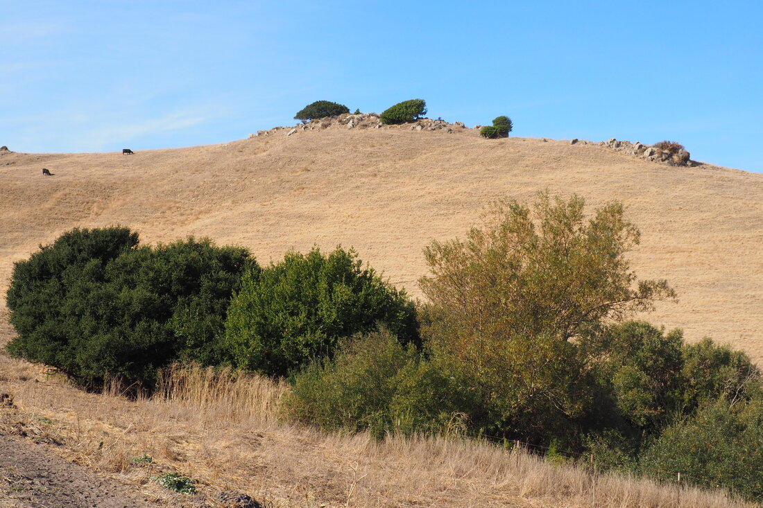
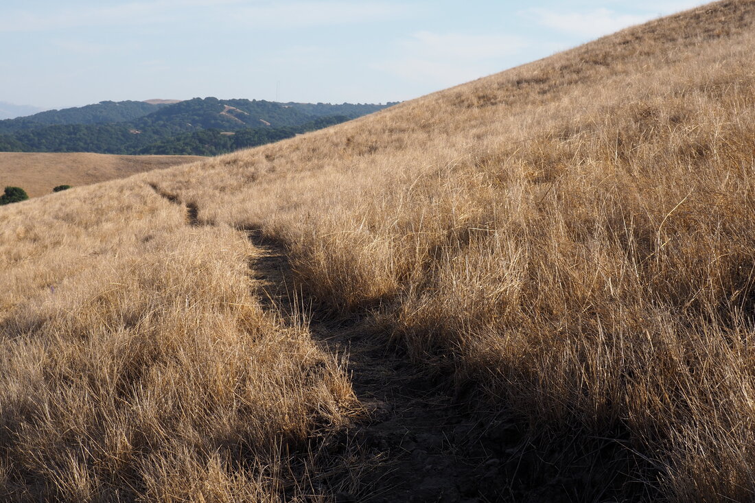
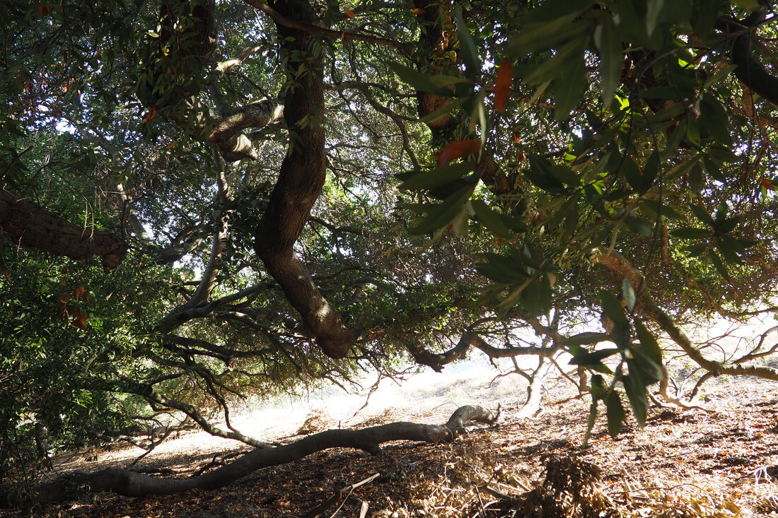
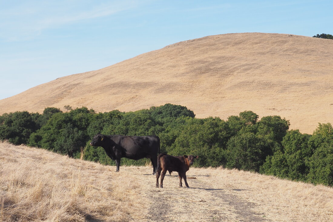
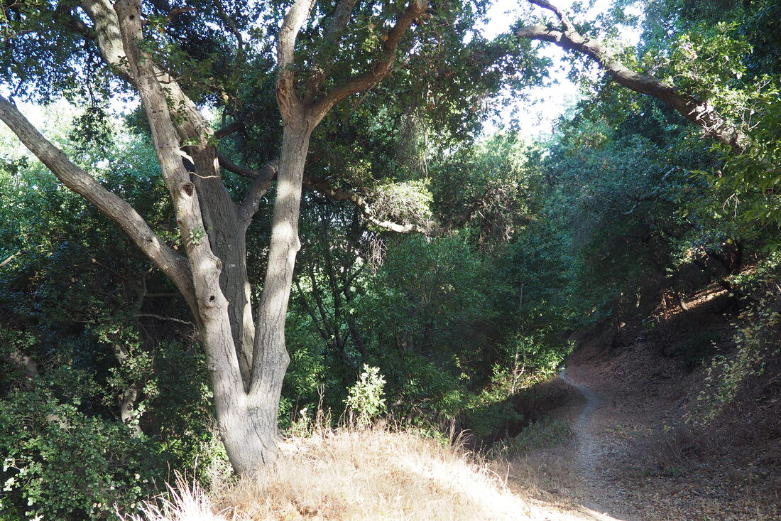
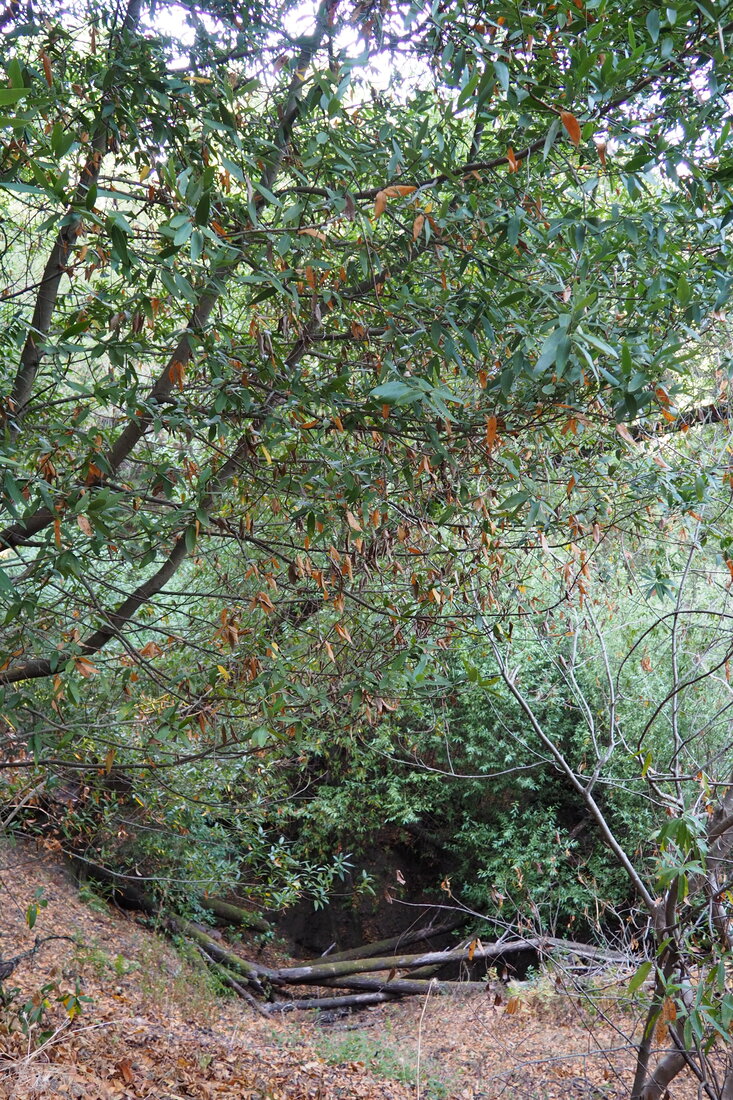
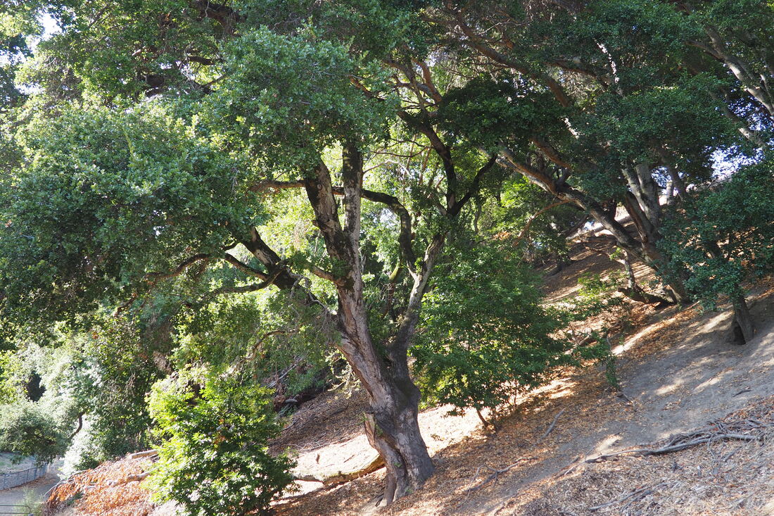
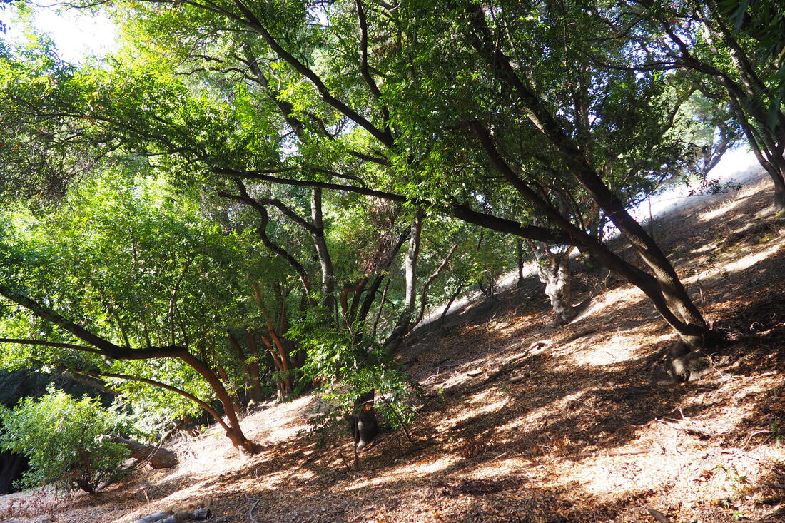
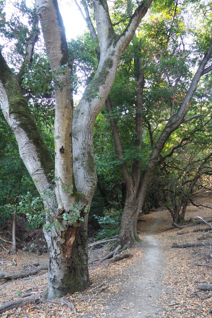
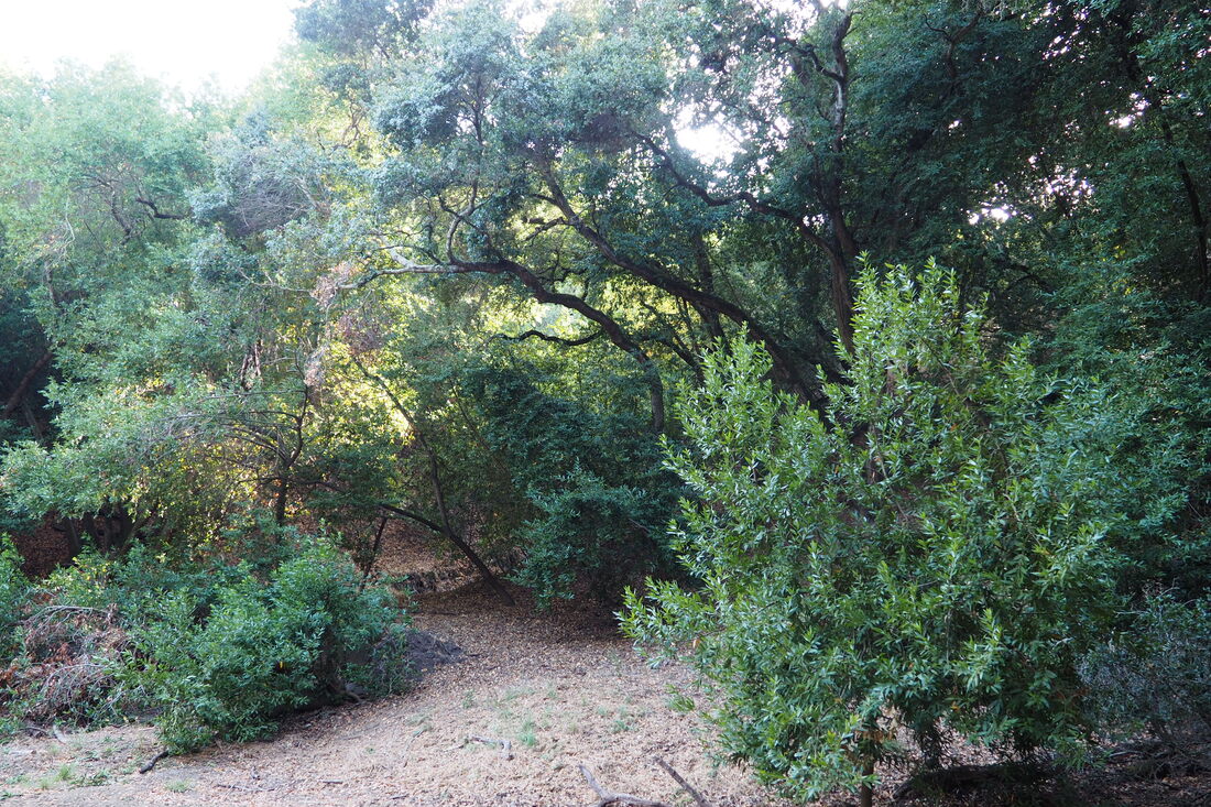
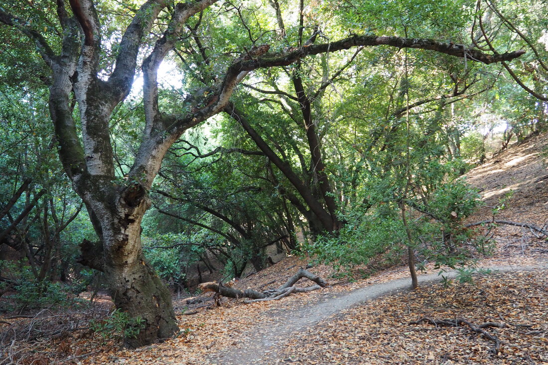
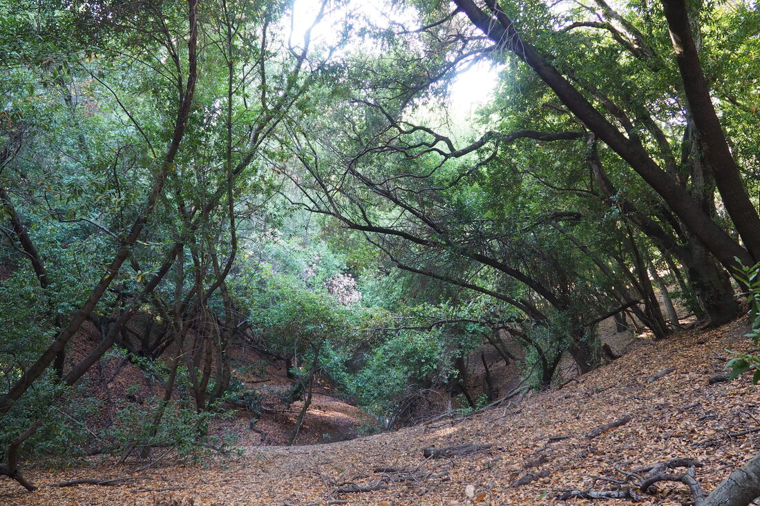
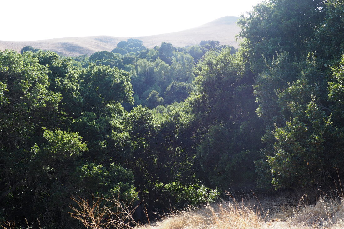
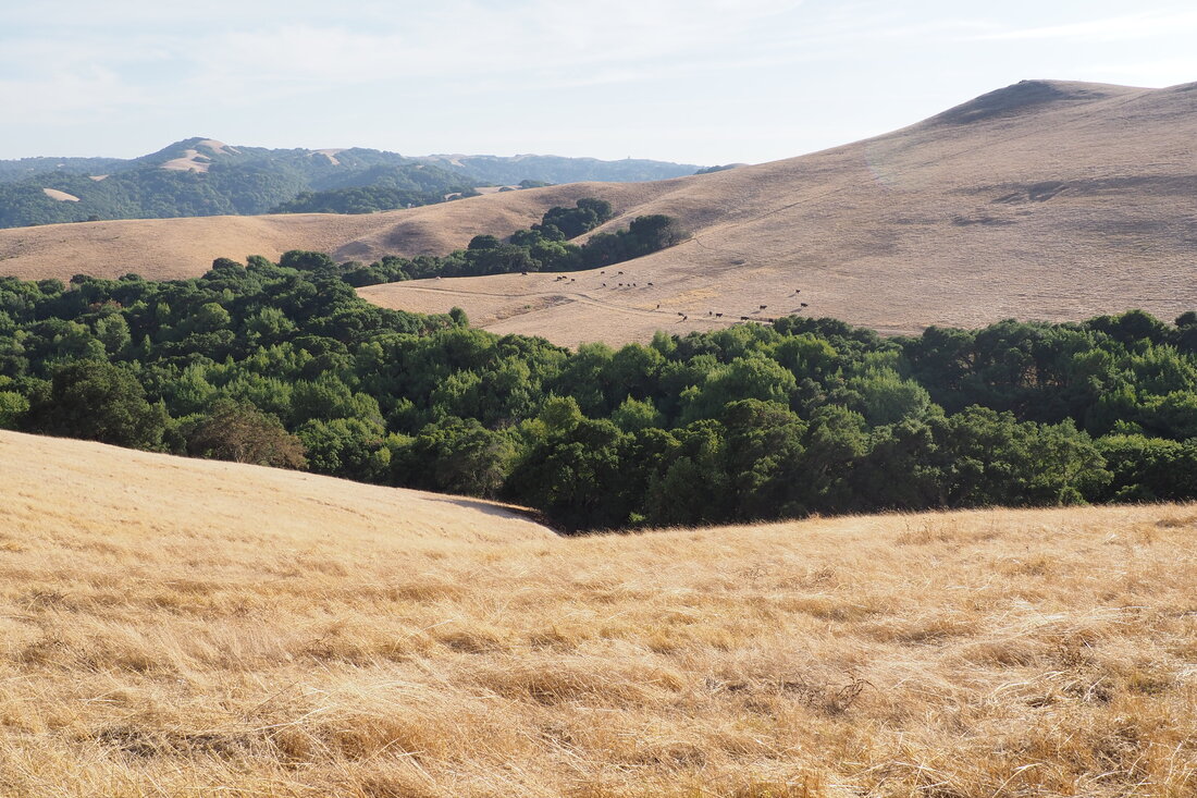
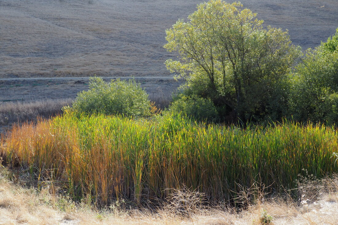
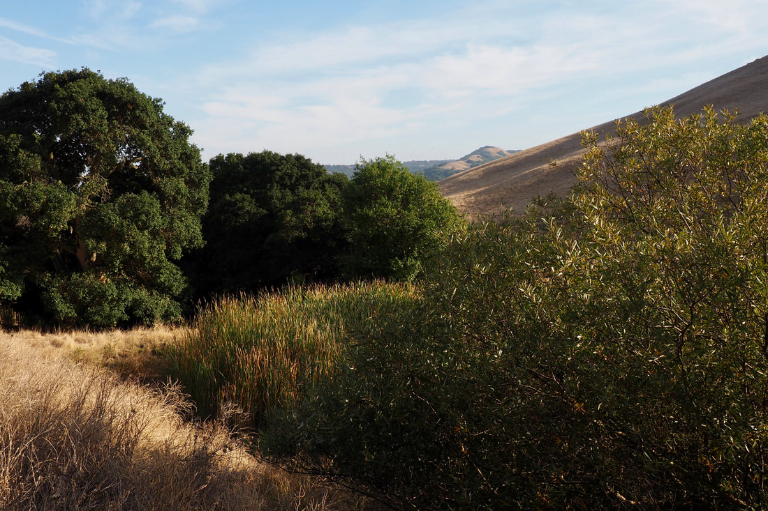
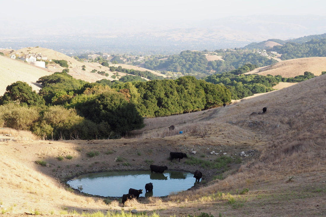
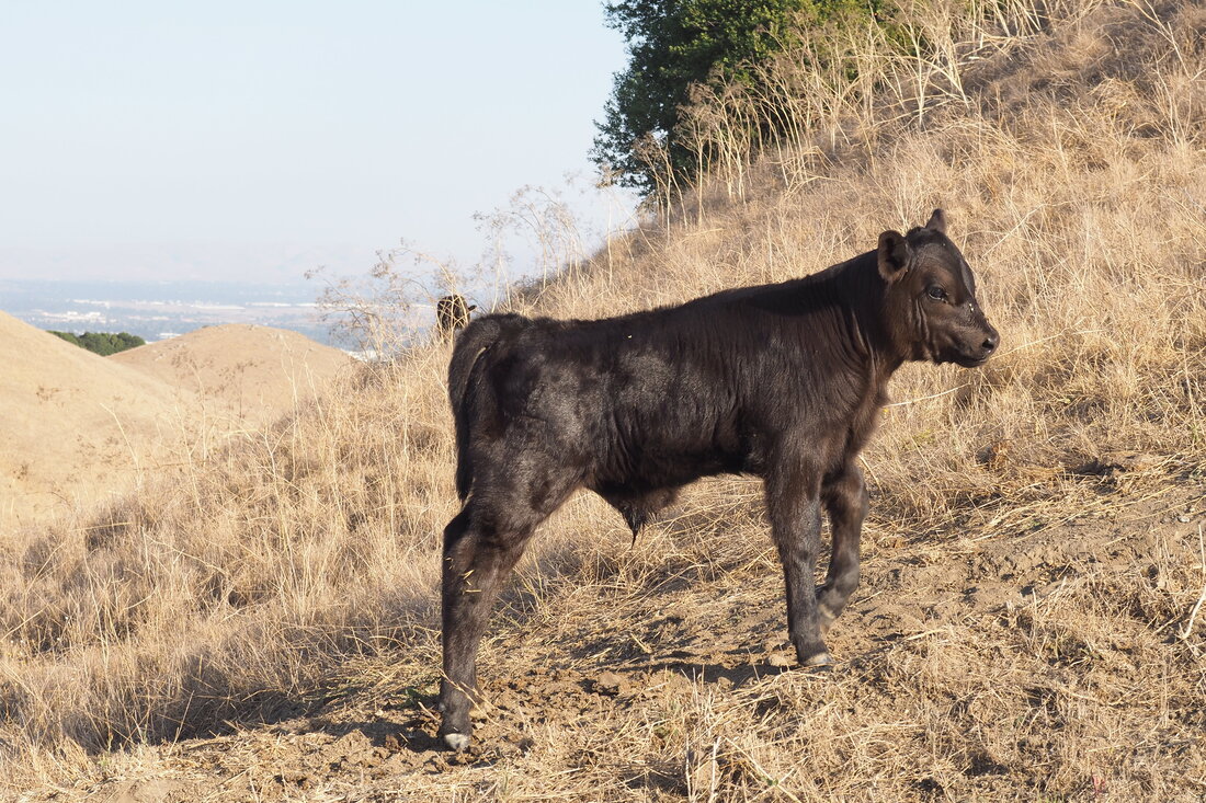
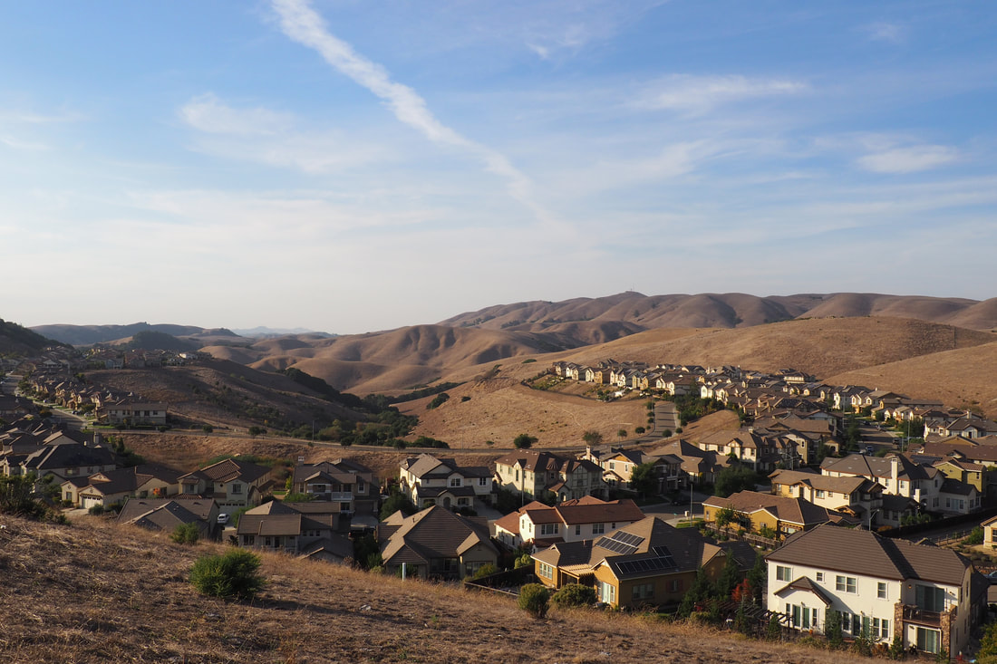
You soon descend down into Donlon Canyon. I chose to veer to the right, taking the loop in a counterclockwise direction. I am not sure that this is the easiest way. There are some fairly steep sections of this hike, and I think that either direction of the loop is probably quite challenging. I know that the route I went was pretty hard, but I think the other direction would have been about the same. My favorite parts of the hike were once I entered into the forested area of the canyon. The oak and bay laurel forest was just gorgeous, and the canyon was surprisingly gorge-like. I bet that the run-off from the winter rains must be quite dramatic.

I was surprised to see that the trail actually briefly left what appeared to be the boundary of the park and then went through a neighborhood street--the EBRPD map did not prepare me for that, and I thought for a minute that I might have gotten lost somehow. Here, you could see that the water run-off from Donlon Creek has to be carefully managed so that it does not flood the houses in the development. It seems crazy to think of that right now, because everything is so dry. After getting through this little detour out of the park, the trail resumed and then climbed steeply up the hillside to complete the loop.

I don't really think that this is a good park for kids considering how steep it is. Perhaps starting out at Donlon Point Staging Area and sticking along Calaveras Ridge would be one way to adapt it for (some) kids. My daughter is still too young.

I definitely want to come back to this park in the spring when the hills are green and the wildflowers are blooming. One of my favorite hiking blogs has a write-up of another route into and through the park here. I am looking forward to trying that hike out for myself! Although I did wish that the hills had been verdant on my hike, I really enjoyed seeing the calves out. This is a great time of year to see the cows being especially cute.
0 Comments


Leave a Reply.

    Archives

    December 2020
    November 2020
    October 2020
    September 2020
    August 2020
    July 2020
    June 2020
    May 2020
    April 2020
    March 2020
    February 2020
    January 2020
    December 2019
    November 2019
    October 2019
    September 2019
    August 2019
    July 2019
    June 2019
    May 2019
    April 2019
    March 2019
    February 2019
    January 2019
    December 2018
    November 2018
    October 2018
    September 2018
    August 2018
    July 2018
    June 2018
    May 2018
    April 2018
    March 2018
    February 2018
    January 2018
    November 2017
    October 2017
    September 2017
    August 2017
    April 2017
    March 2017
    February 2017
    January 2017
    November 2016
    October 2016
    September 2016
    August 2016
    July 2016
    June 2016
    May 2016
    April 2016
    March 2016
    February 2016
    January 2016
    December 2015
    November 2015
    October 2015
    September 2015

    Categories

    All
    Art Expedition
    Bay Laurel Trees
    Bayside
    Beaches
    Berkeley City Parks
    Bureau Of Reclamation
    Camping
    Cliffs
    Coastside
    Contra Costa Water District
    Creeks
    Deserts
    East Bay Municipal Utility District
    East Bay Regional Park District
    EBRPD Trails Challenge
    Eucalyptus
    Flat Hikes
    Gulf Coast Family Vacation
    Historical Sites
    Kid Friendly
    Lakes
    LARPD
    Length: 10 To 15 Miles
    Length: 15+ Miles
    Length: 1 To 5 Miles
    Length: 5 To 10 Miles
    Madrones
    Manzanita
    Maples
    Marin County Parks
    Midpeninsula Regional Open Space Preserves
    Mountains
    Museums
    National Forest Service
    National Parks
    National Wildlife Refuge
    Oakland City Parks
    Oaks
    Palo Alto & Atherton Parks
    Peninsula Open Space Trust
    Pleasanton City Parks
    Portola Valley Town Trails
    Redwoods
    Rocks
    San Francisco City Parks
    San Mateo County Parks
    Santa Clara County Parks
    Santa Cruz City Parks
    Sierras
    Stanford
    State Parks
    Swimming Holes
    Sycamores
    Trains
    Tri-Valley
    UC Berkeley
    UC Davis
    Walnut Creek Parks
    Wetlands
    Wildflowers
    Wildlife
    Zoos Farms & Wildlife Preserves

    RSS Feed

Powered by Create your own unique website with customizable templates.
  • Home
  • About
  • Regions
  • Parks
  • Trails
  • Photography