Lonely Hiker
  • Home
  • About
  • Regions
  • Parks
  • Trails
  • Photography

Trails

Aborted trail at Garin Park

6/14/2019

0 Comments

 
Picture
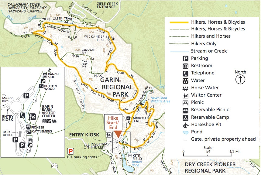
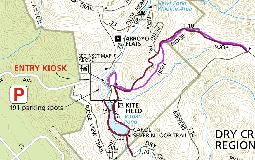
Despite flawless weather, I did not have the best day today at Garin Park, one of the two parks in the complex of Garin/Dry Creek Pioneer Parks. I made the most of it, but I was really off my game.
Picture
Picture
Picture
Picture
The plan, EBRPD map
This map shows the route that I wanted to take today. I have been choosing some of my hikes lately from the list of hikes for the EBRPD's 2019 Trails Challenge, and I have found almost all of their descriptions of the the trails to be excellent. My choice to do this route, instead of this easier variation (link) was based solely on their recommendation (link). But Garin's signage along High Ridge Loop is not well maintained, and I got lost.

I missed the turn-off to the Newt Pond Trail not once but twice. The first time was because the sign pointing to the trail head had fallen, and I didn't even see the intersection at all. I did not realize that I had missed the trail until I was all the way to the Meyers Ranch Trail. I actually wanted to see Newt Pond after my amazing experience with seeing the newts yesterday, so I turned back.
Picture
Route I actually took
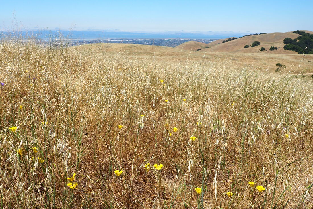
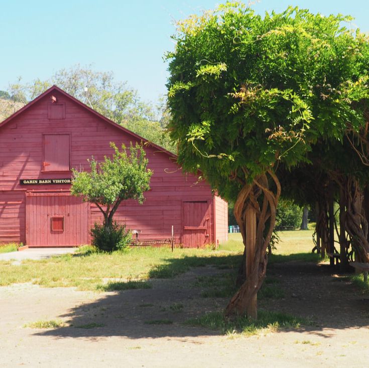
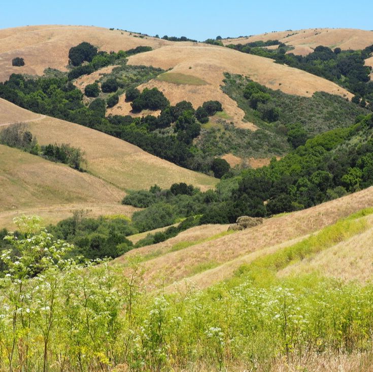
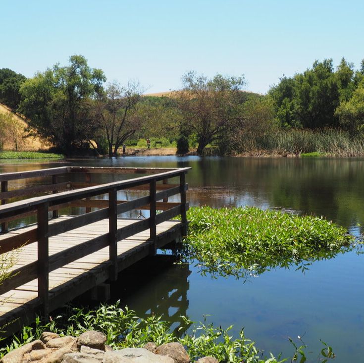
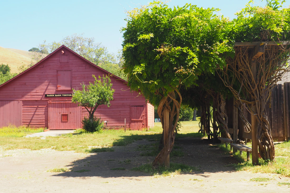
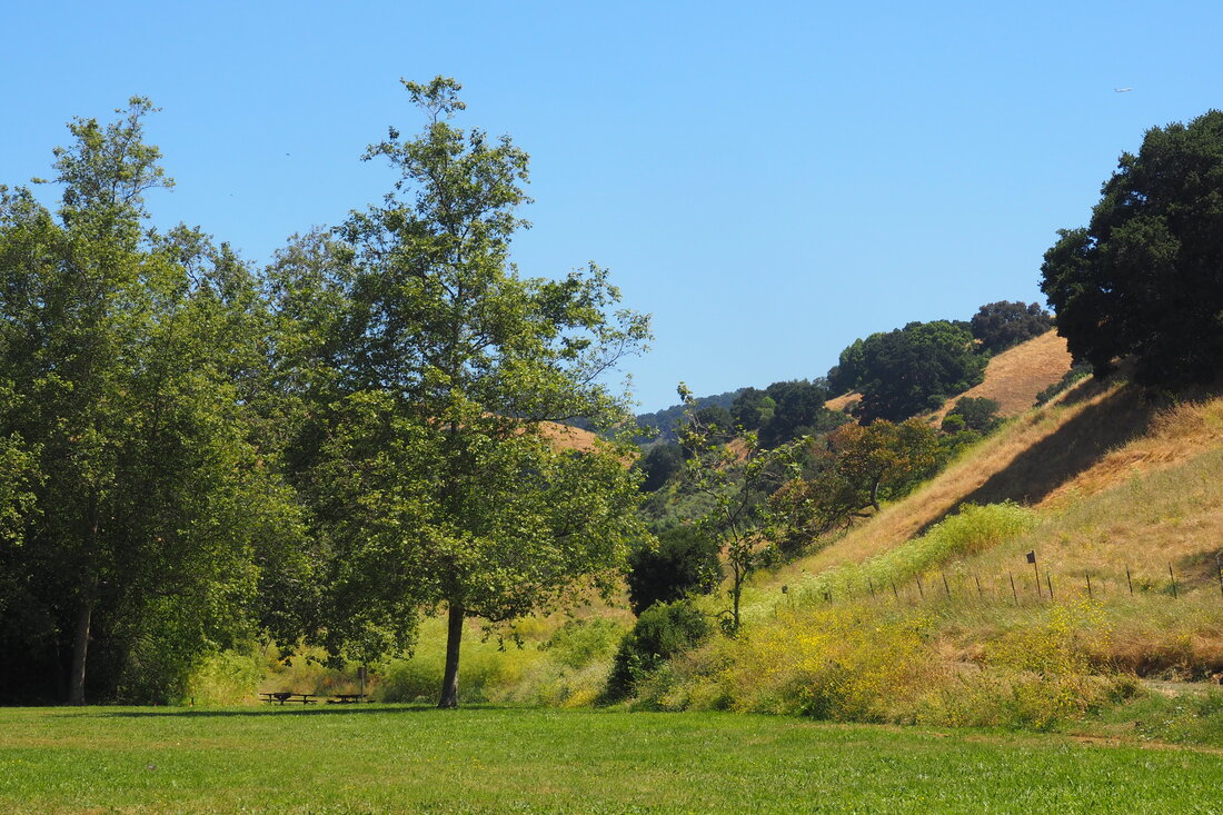
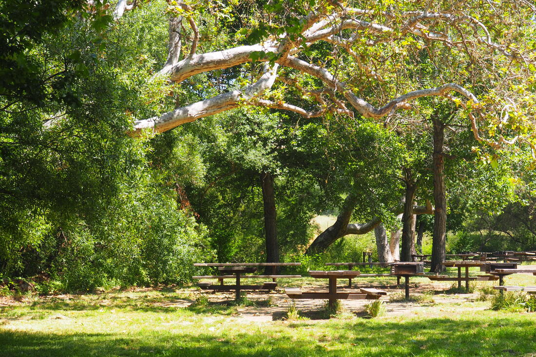
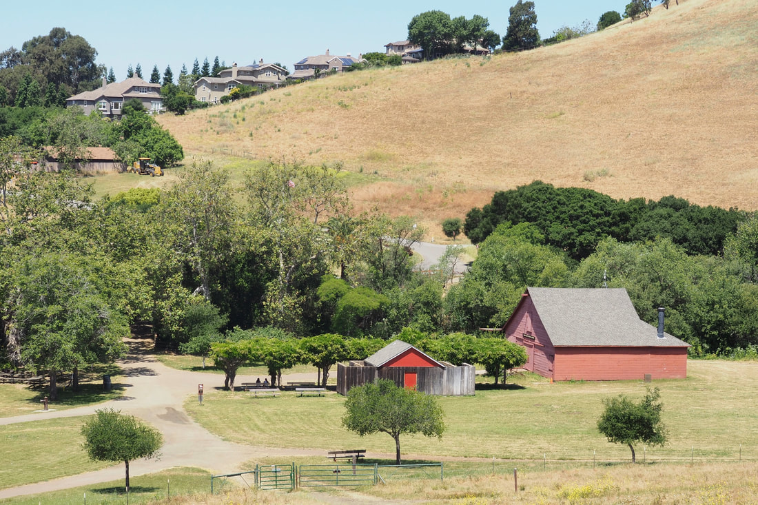
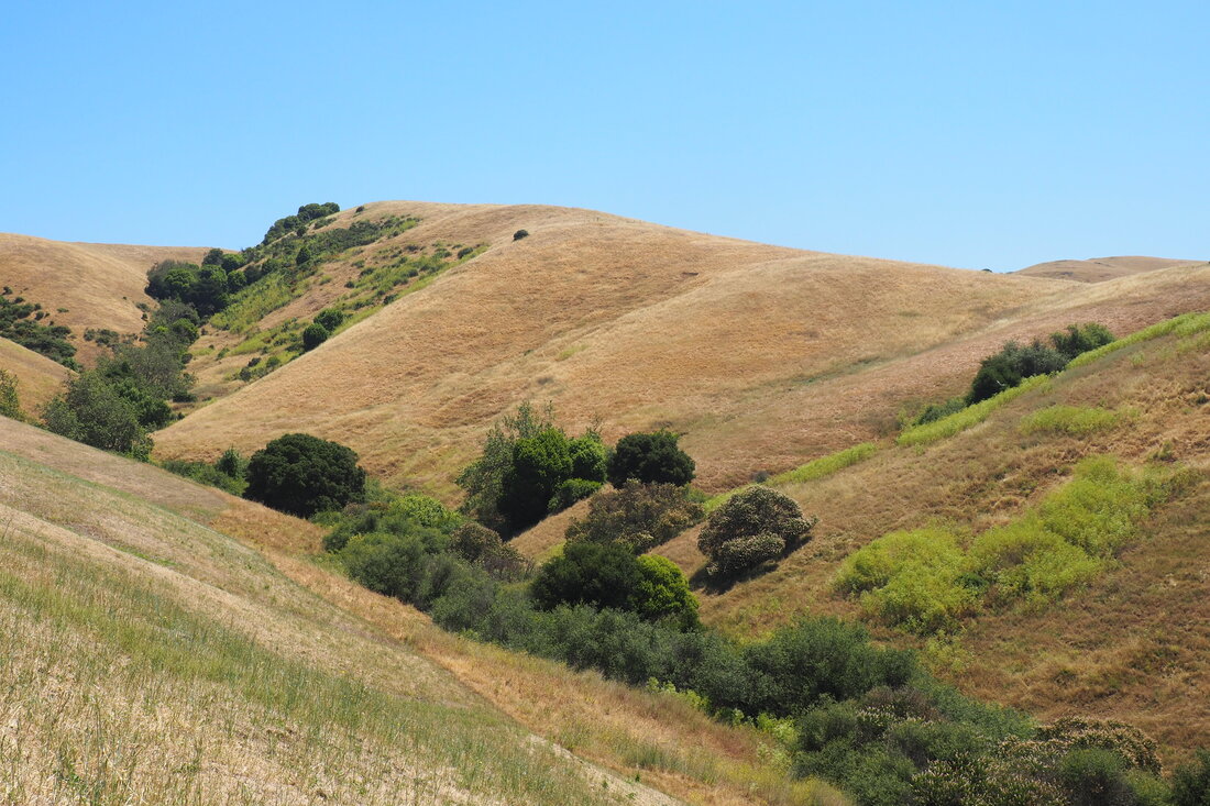
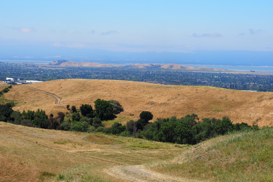
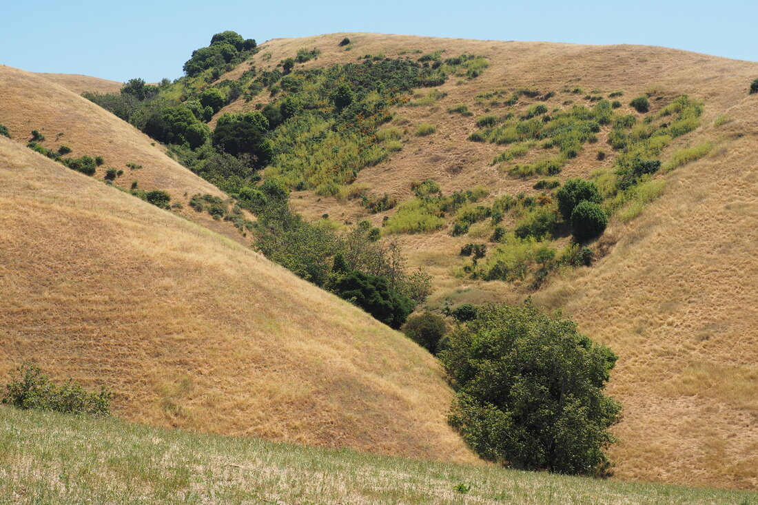
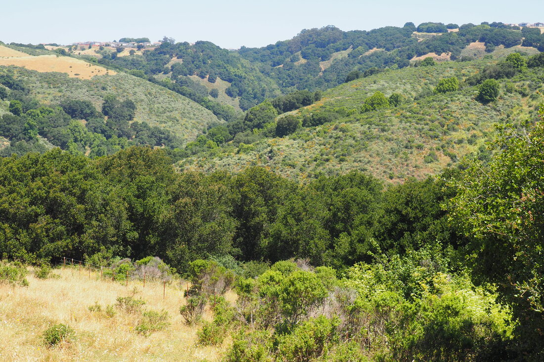
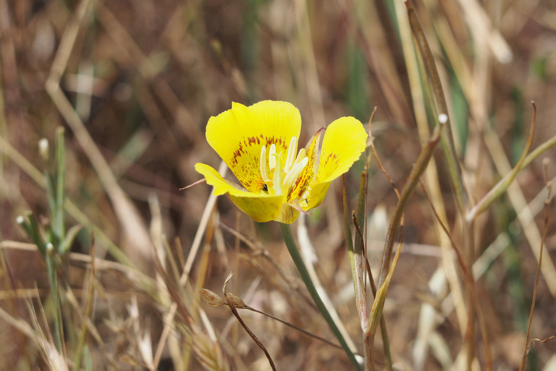
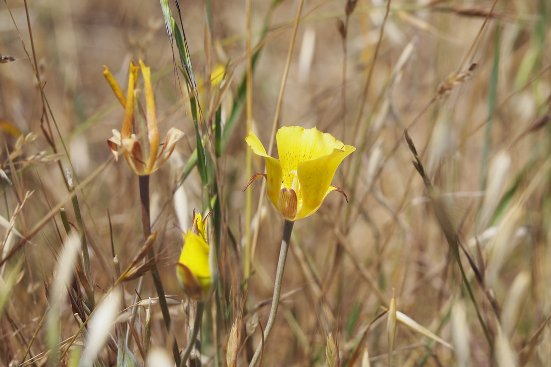
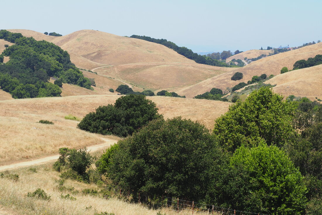
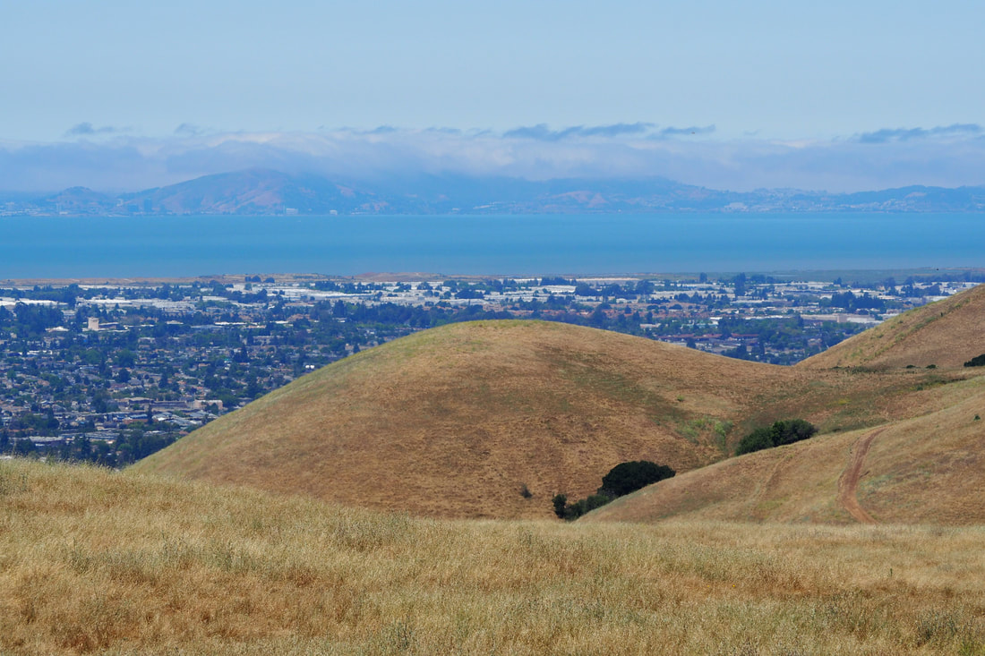
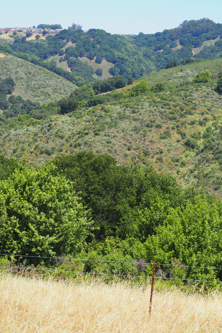
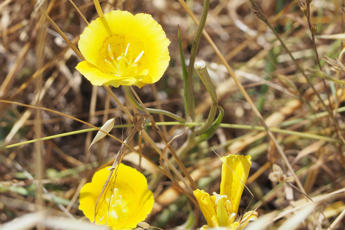
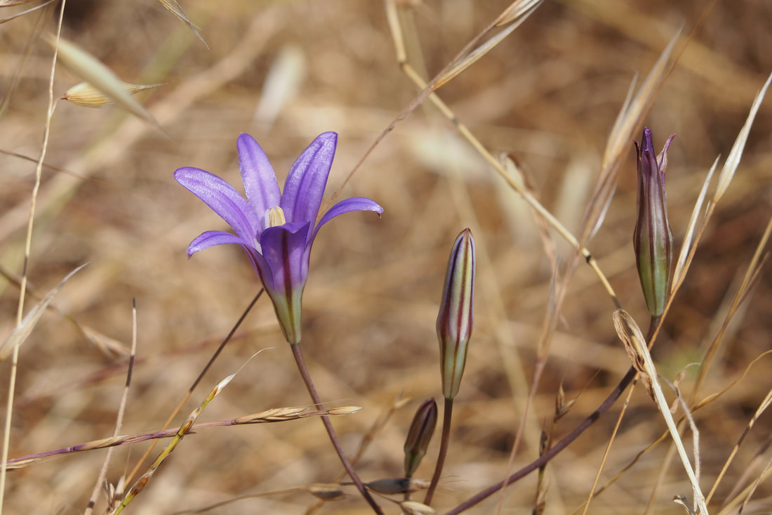
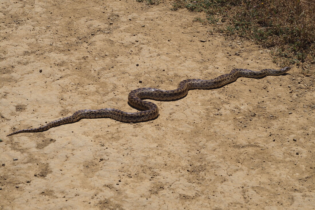
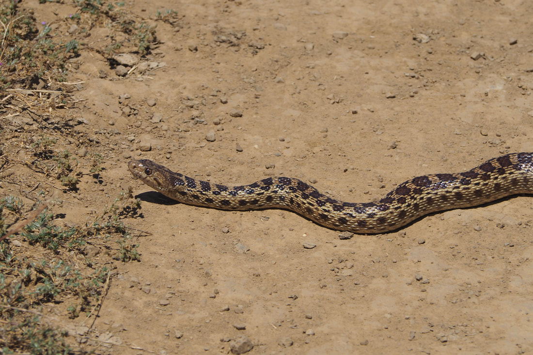
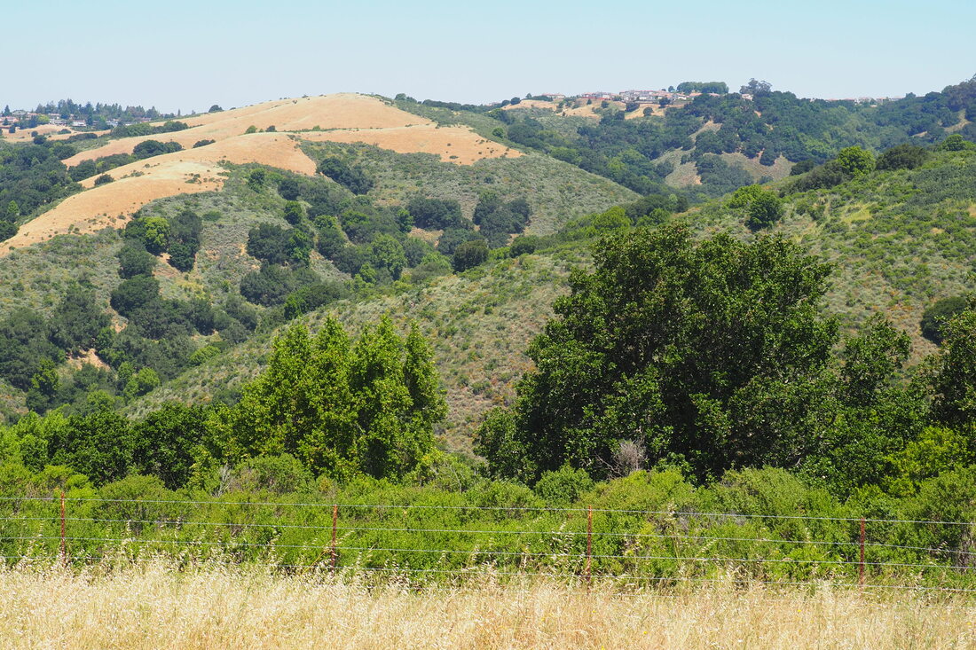
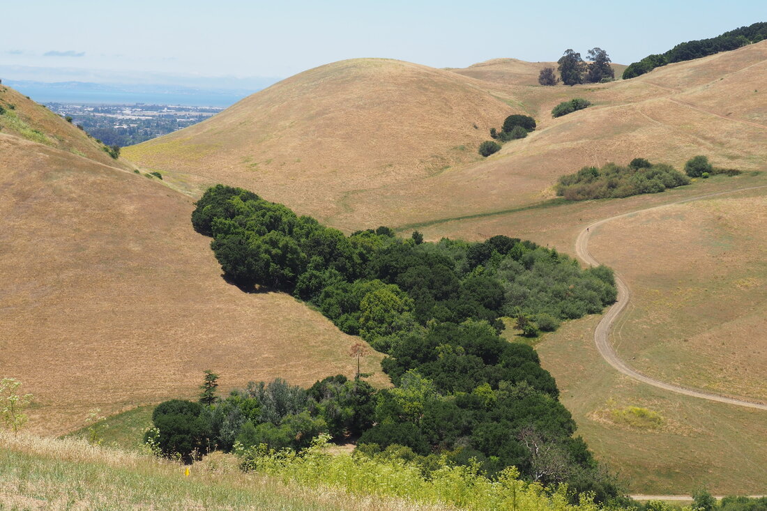
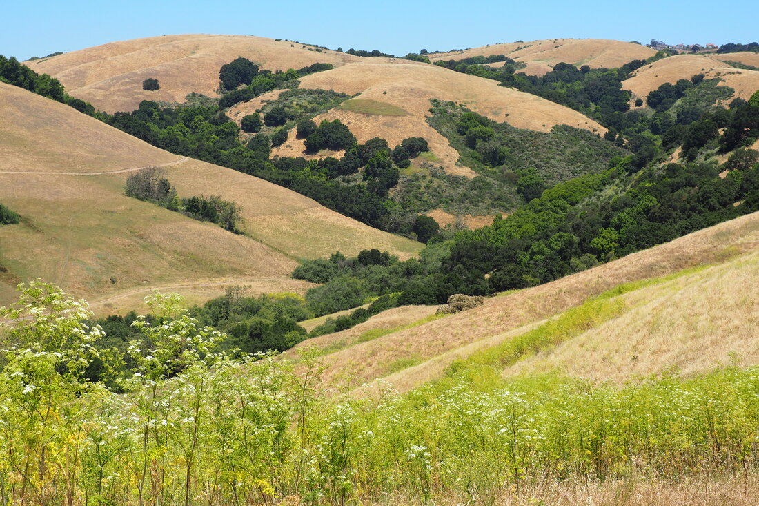
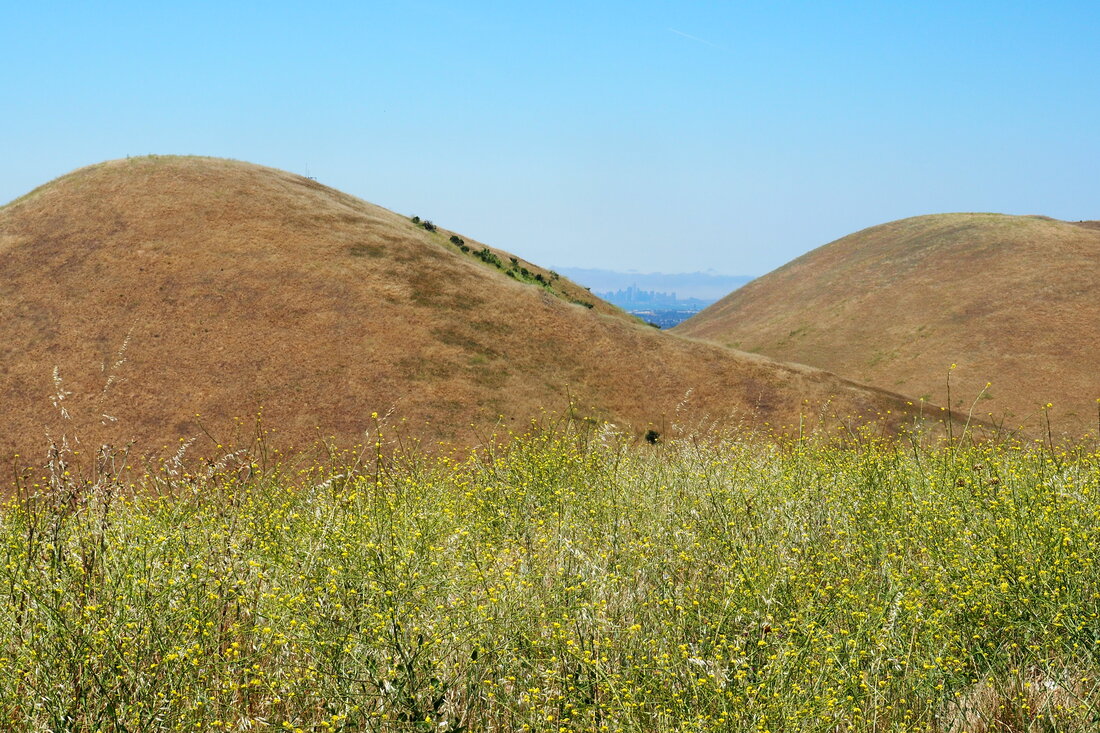
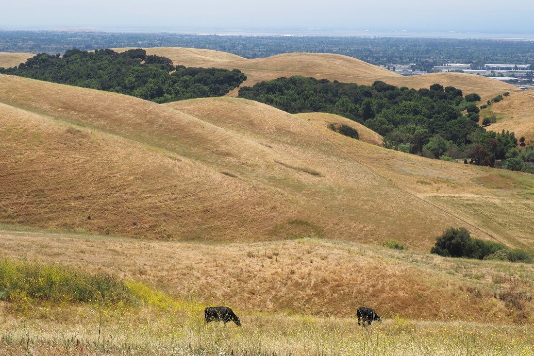
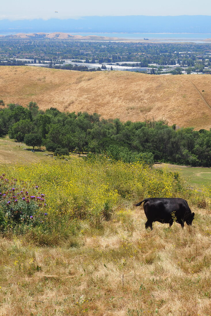
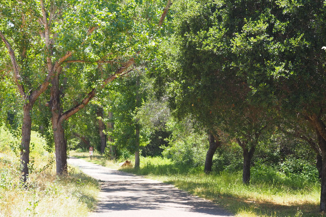
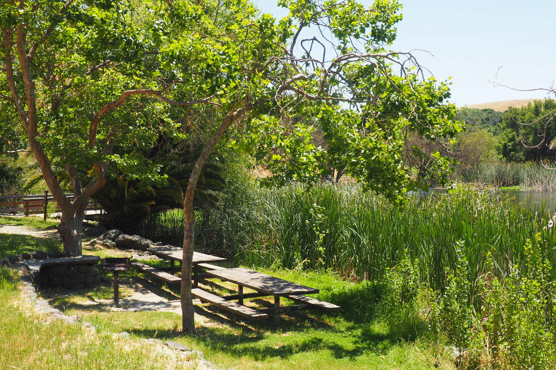
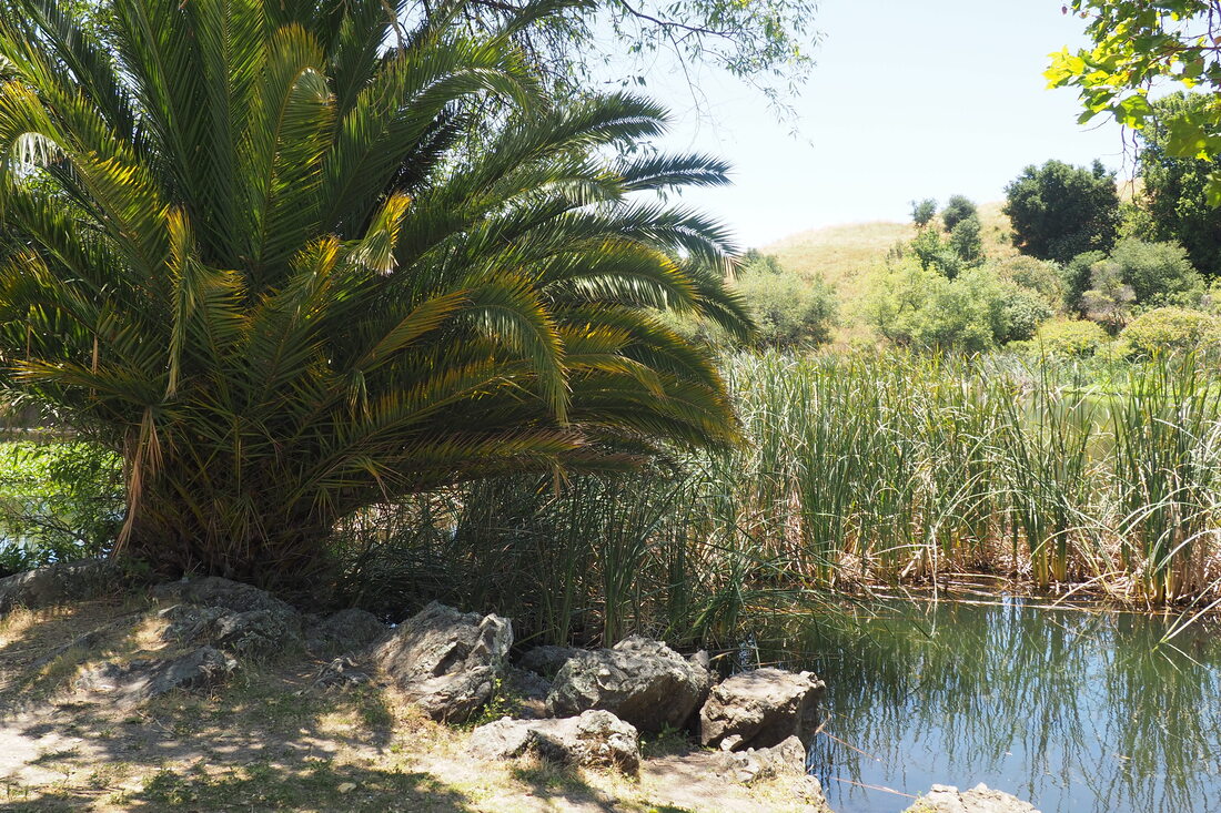
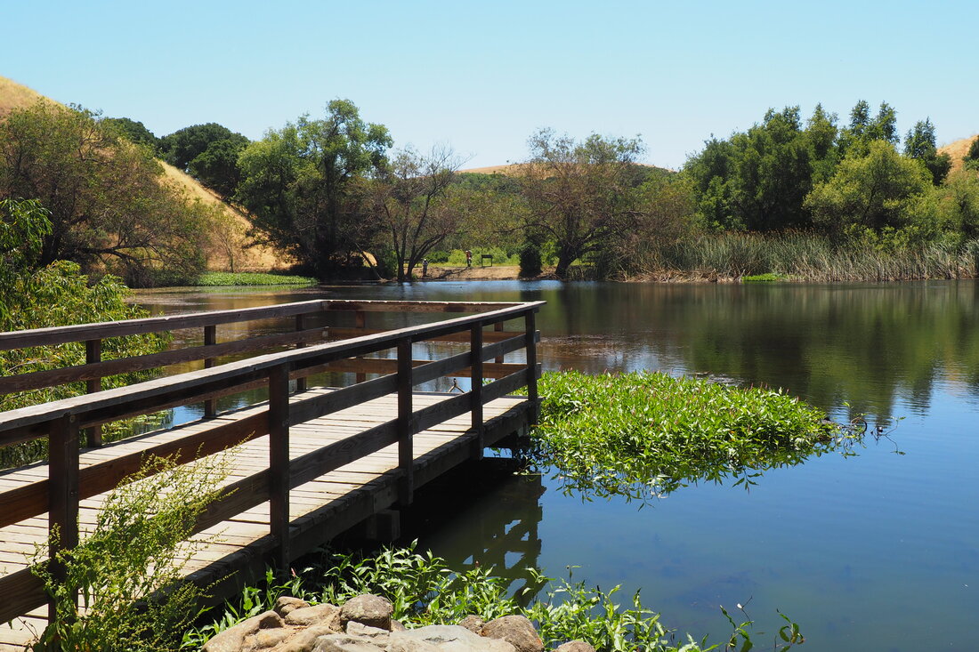
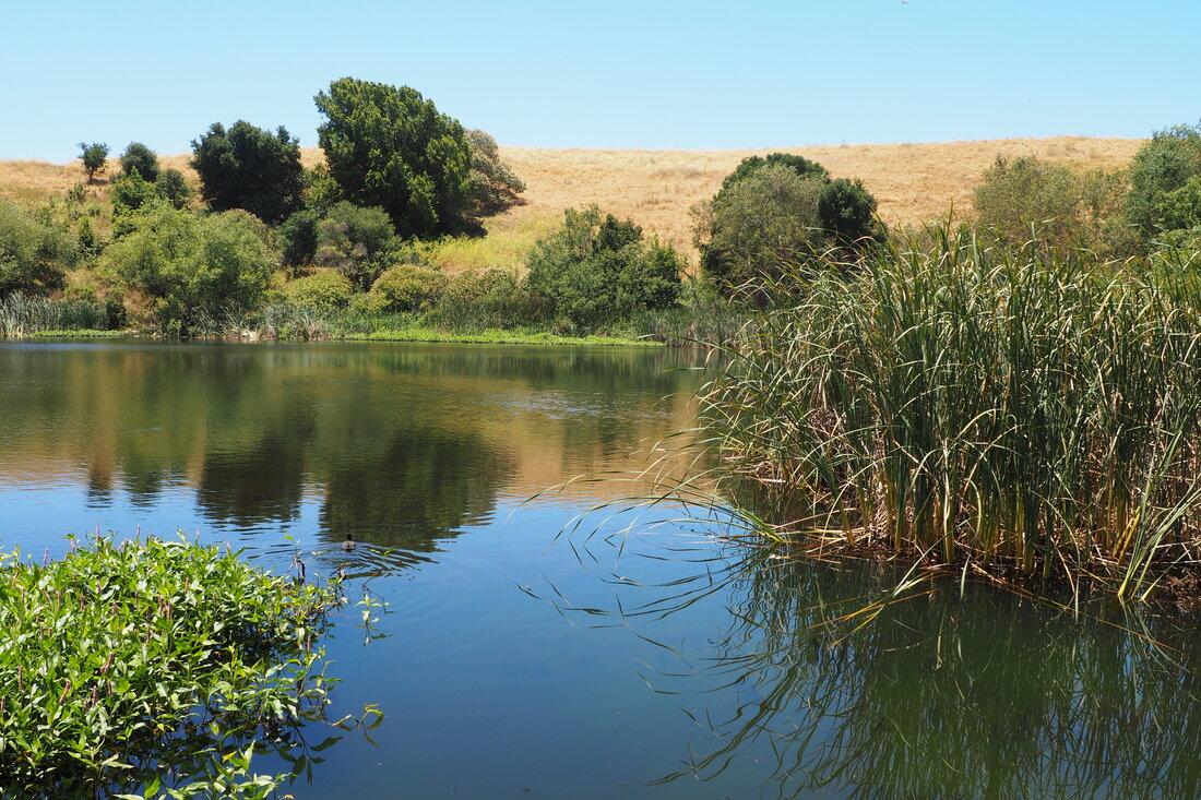
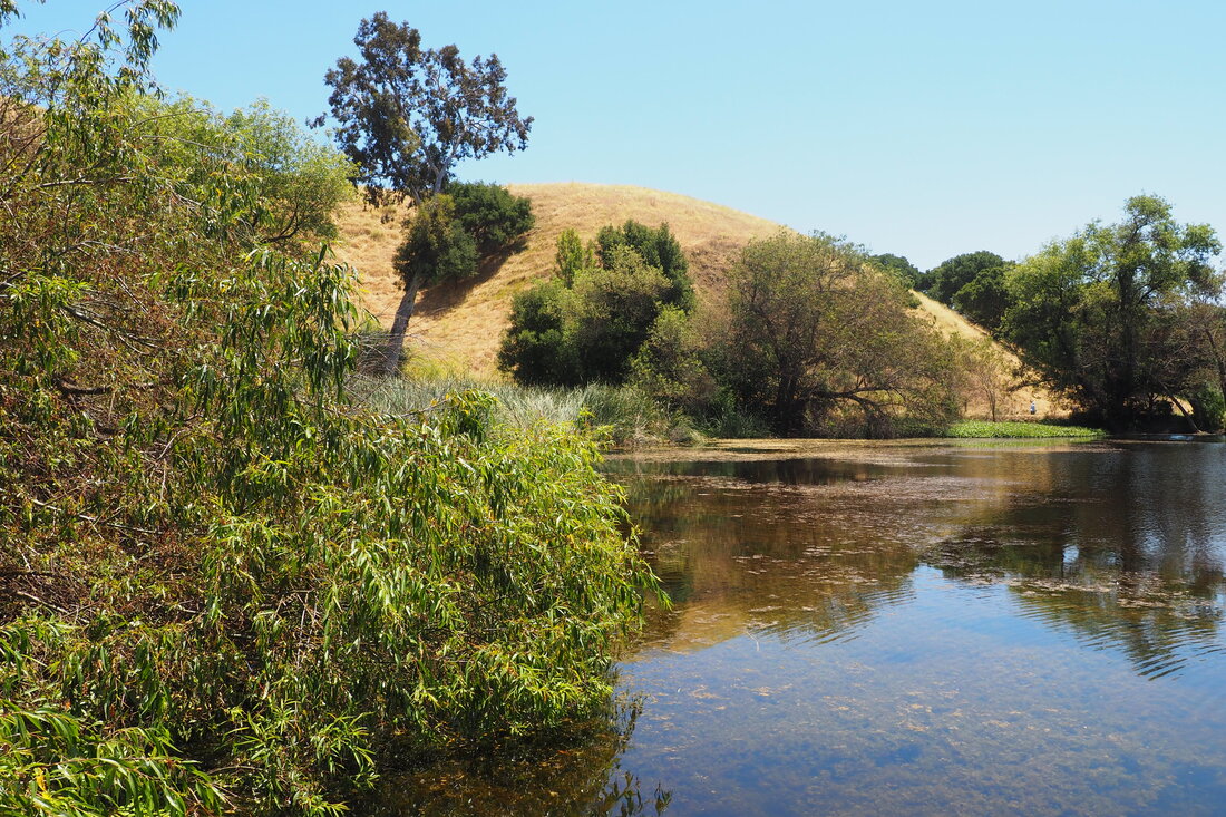
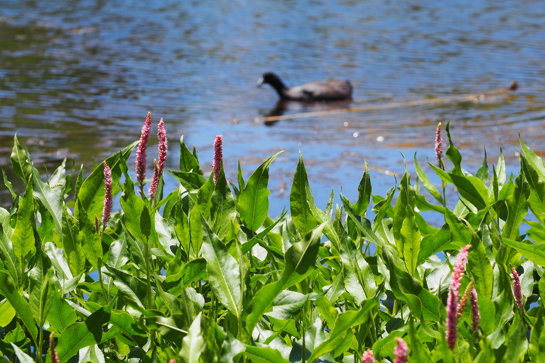
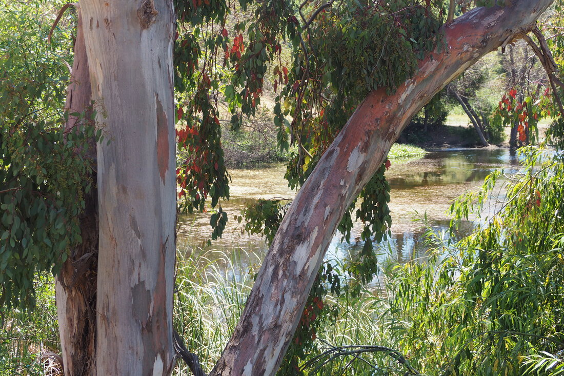
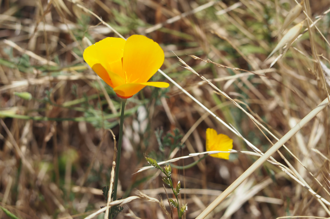
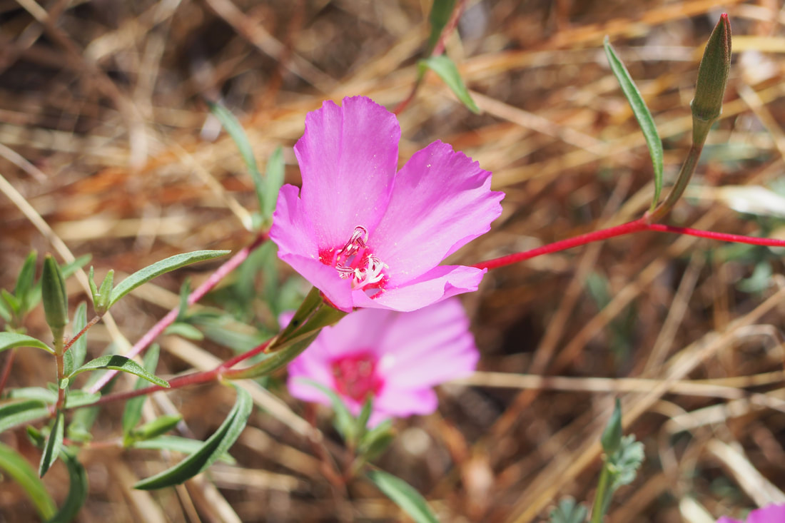
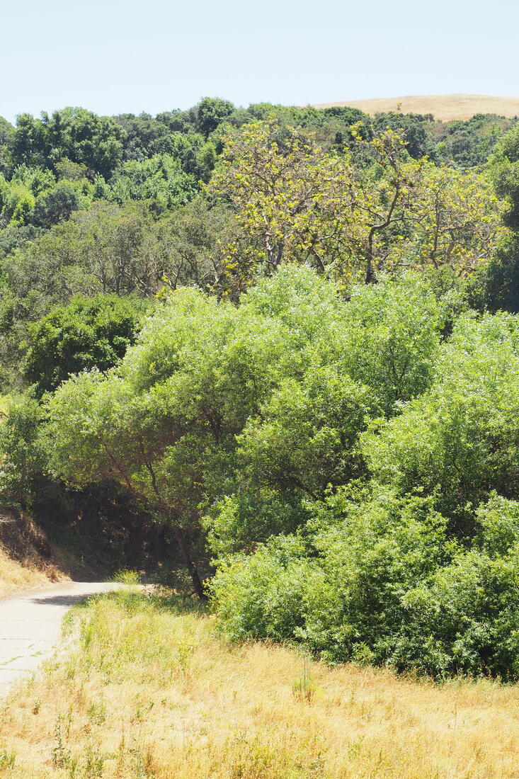
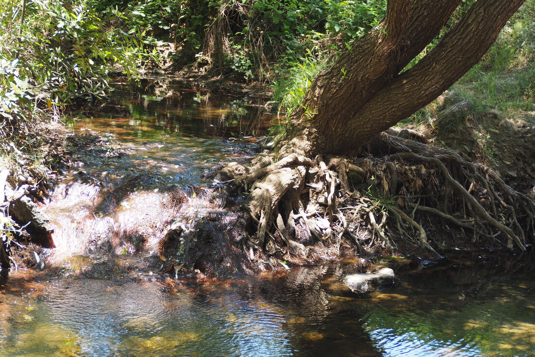
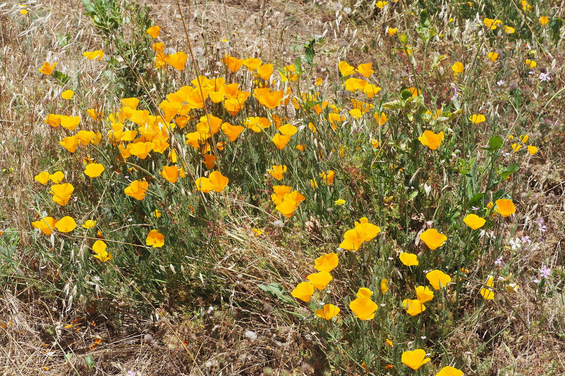
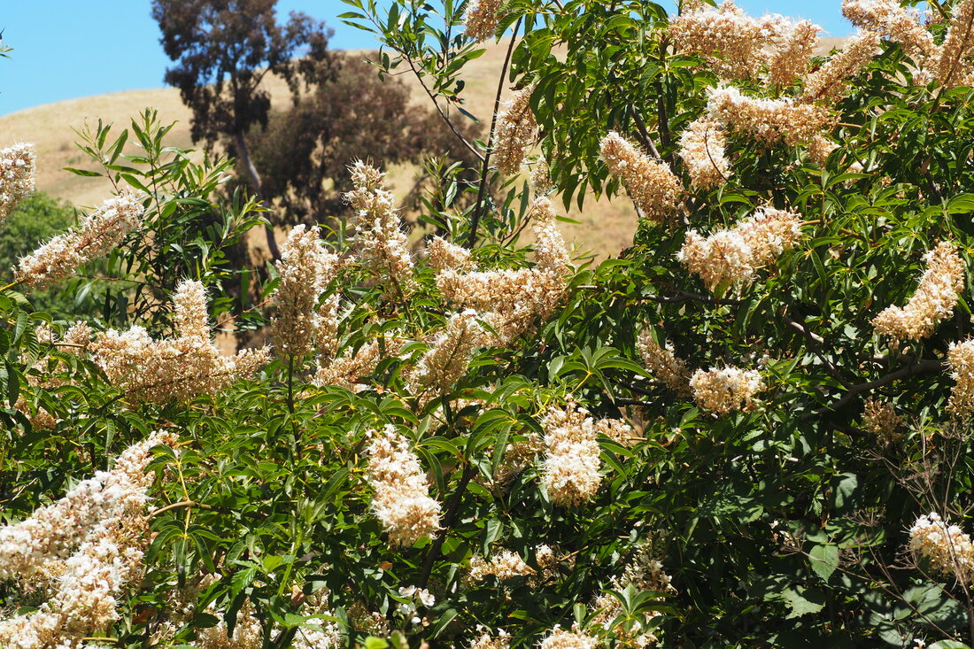
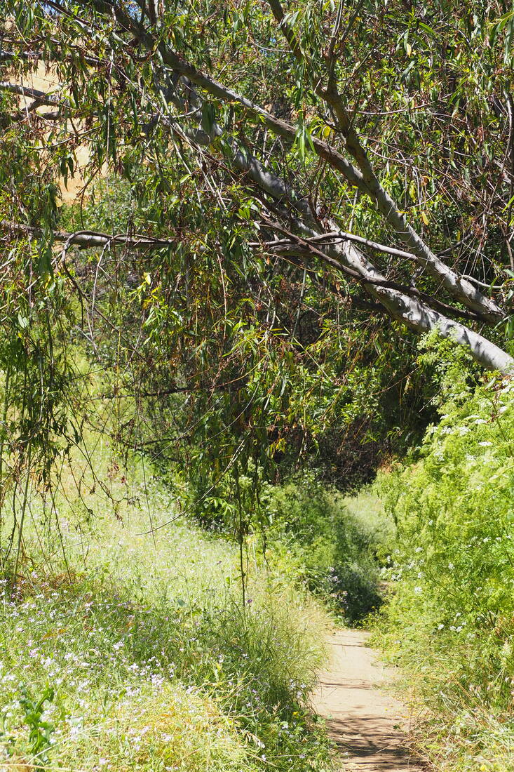
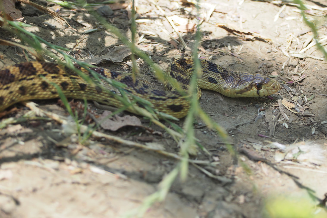
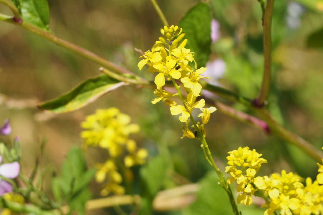
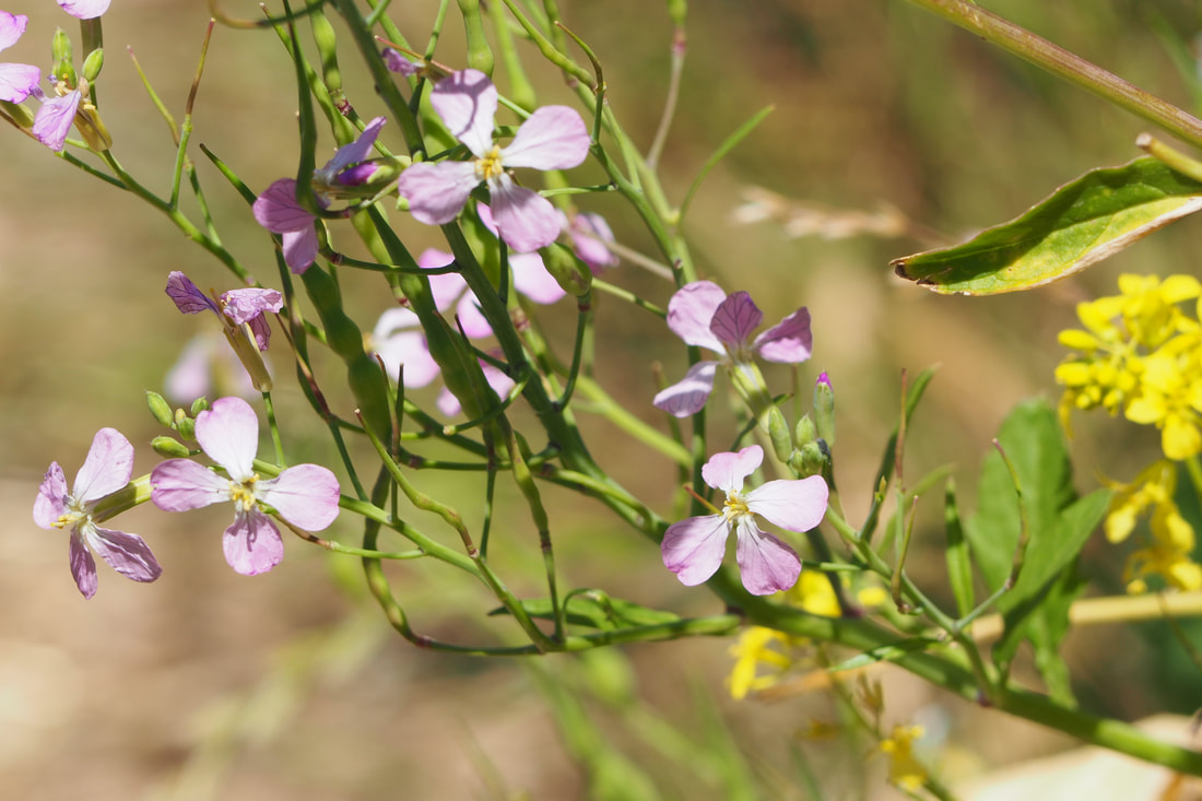
To be honest, I am not upset that I trekked all the way to the top of the high ridge that gives the trail its name. That seemed like a happy mistake to me, because I saw a really cool (and really large snake) and also an outcropping of Mariposa lilies, which are one of my all time favorite flowers. The views of San Francisco Bay and the low hills of Garin were gorgeous. But the trail to Newt Pond is so unclear, that even when I turned around and found the sign pointing to it, I still got mixed up and then hiked all the way back down to the Garin Barn Visitors Center. In hindsight, the route I took must be an unofficial trail that's been cut by mountain bikers, but I thought I was taking the trail I wanted. When I turned the corner of the hill and saw that I was back where I started and not on my way to Newt Pond I was so discouraged that I gave up my original hike and just made the easy loop around Jordan Pond.

At least the trail to Jordan Pond offered something nice: there were lots of wildflowers and a fine grove of Sycamores. This place seems like it might be nice for a picnic, although I do have my reservations about it. I don't know if I was just grumpy because of the disappointment of my thwarted hike, or if it really was as bad as it seems, but there seemed to me to be a lot of trash and litter. When I saw a second snake along the trail, it seemed less like a cool feature of the hike and more like an omen warning me to leave.

I am not anxious to return here. The drive back to Livermore through heavy Friday-afternoon traffic really made me think that it was not worth it to hike only about 3 miles. I will say--giving the park its due--that it seems like a place that would be cool to bring young kids, especially near the barn. There is an apple harvest festival in the fall, so maybe if I do go back then I will go for that event.
0 Comments


Leave a Reply.

    Archives

    December 2020
    November 2020
    October 2020
    September 2020
    August 2020
    July 2020
    June 2020
    May 2020
    April 2020
    March 2020
    February 2020
    January 2020
    December 2019
    November 2019
    October 2019
    September 2019
    August 2019
    July 2019
    June 2019
    May 2019
    April 2019
    March 2019
    February 2019
    January 2019
    December 2018
    November 2018
    October 2018
    September 2018
    August 2018
    July 2018
    June 2018
    May 2018
    April 2018
    March 2018
    February 2018
    January 2018
    November 2017
    October 2017
    September 2017
    August 2017
    April 2017
    March 2017
    February 2017
    January 2017
    November 2016
    October 2016
    September 2016
    August 2016
    July 2016
    June 2016
    May 2016
    April 2016
    March 2016
    February 2016
    January 2016
    December 2015
    November 2015
    October 2015
    September 2015

    Categories

    All
    Art Expedition
    Bay Laurel Trees
    Bayside
    Beaches
    Berkeley City Parks
    Bureau Of Reclamation
    Camping
    Cliffs
    Coastside
    Contra Costa Water District
    Creeks
    Deserts
    East Bay Municipal Utility District
    East Bay Regional Park District
    EBRPD Trails Challenge
    Eucalyptus
    Flat Hikes
    Gulf Coast Family Vacation
    Historical Sites
    Kid Friendly
    Lakes
    LARPD
    Length: 10 To 15 Miles
    Length: 15+ Miles
    Length: 1 To 5 Miles
    Length: 5 To 10 Miles
    Madrones
    Manzanita
    Maples
    Marin County Parks
    Midpeninsula Regional Open Space Preserves
    Mountains
    Museums
    National Forest Service
    National Parks
    National Wildlife Refuge
    Oakland City Parks
    Oaks
    Palo Alto & Atherton Parks
    Peninsula Open Space Trust
    Pleasanton City Parks
    Portola Valley Town Trails
    Redwoods
    Rocks
    San Francisco City Parks
    San Mateo County Parks
    Santa Clara County Parks
    Santa Cruz City Parks
    Sierras
    Stanford
    State Parks
    Swimming Holes
    Sycamores
    Trains
    Tri-Valley
    UC Berkeley
    UC Davis
    Walnut Creek Parks
    Wetlands
    Wildflowers
    Wildlife
    Zoos Farms & Wildlife Preserves

    RSS Feed

Powered by Create your own unique website with customizable templates.
  • Home
  • About
  • Regions
  • Parks
  • Trails
  • Photography