 Last weekend I went on an introductory hike to Black Diamond Mines Regional Park in Antioch. It was a very cool hike that included a first for me: I hiked through a ~160 year old tunnel driven by prospectors looking for commercial grade coal! To see more photos and read a summary of my hike, click "read more" below.
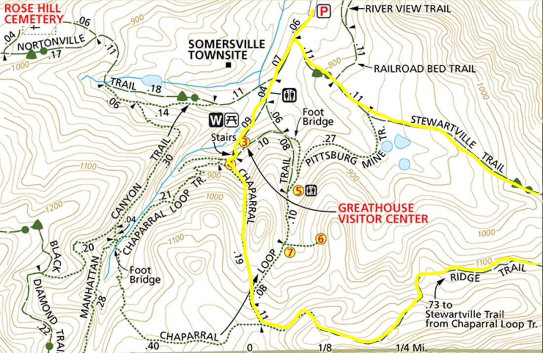
 Trail overview
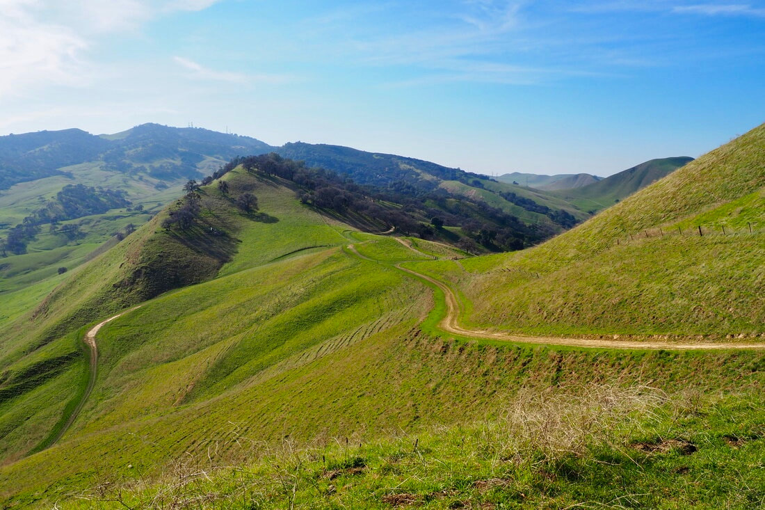
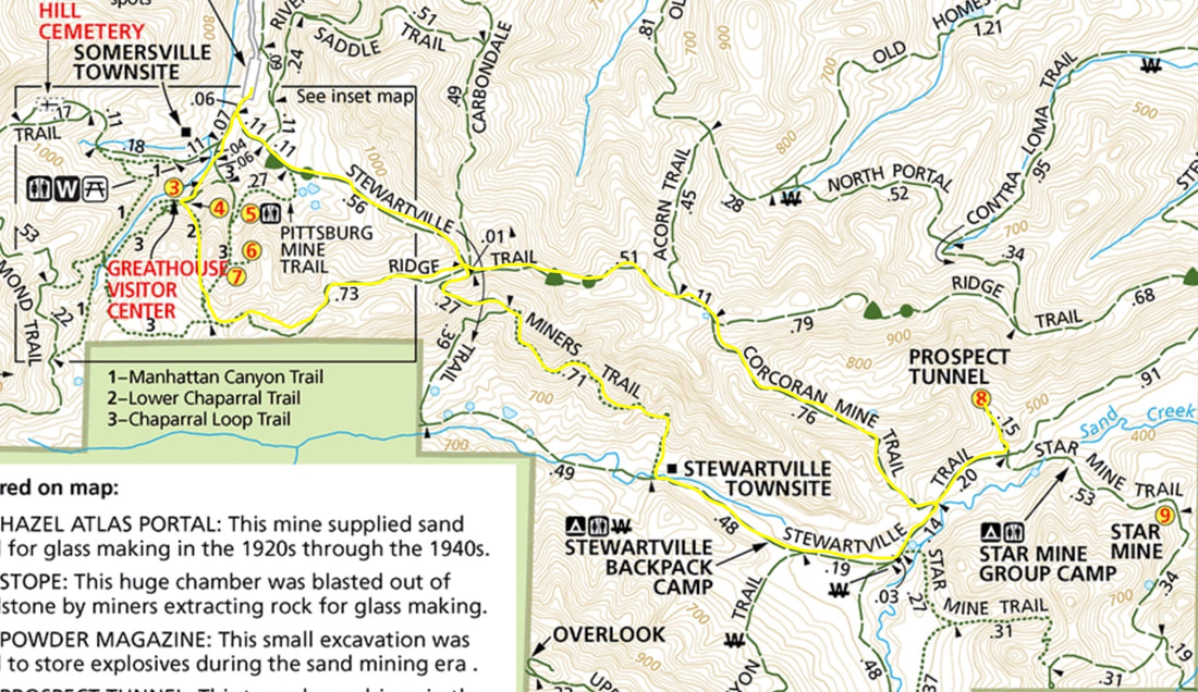
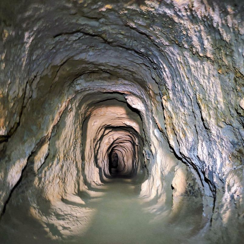
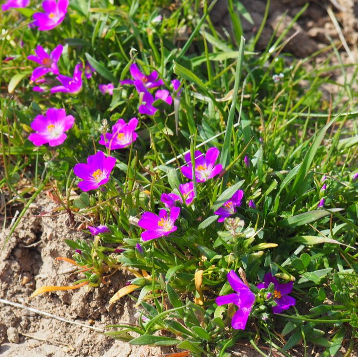
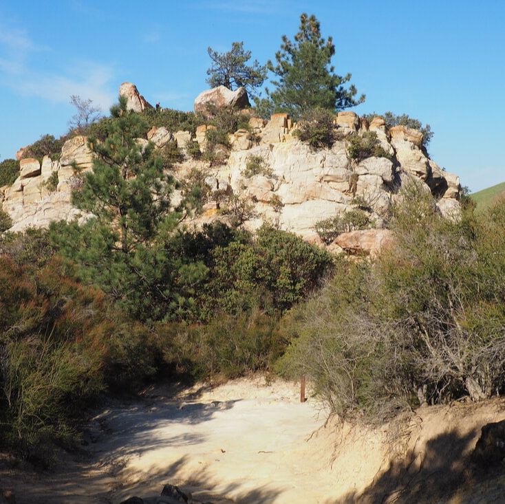
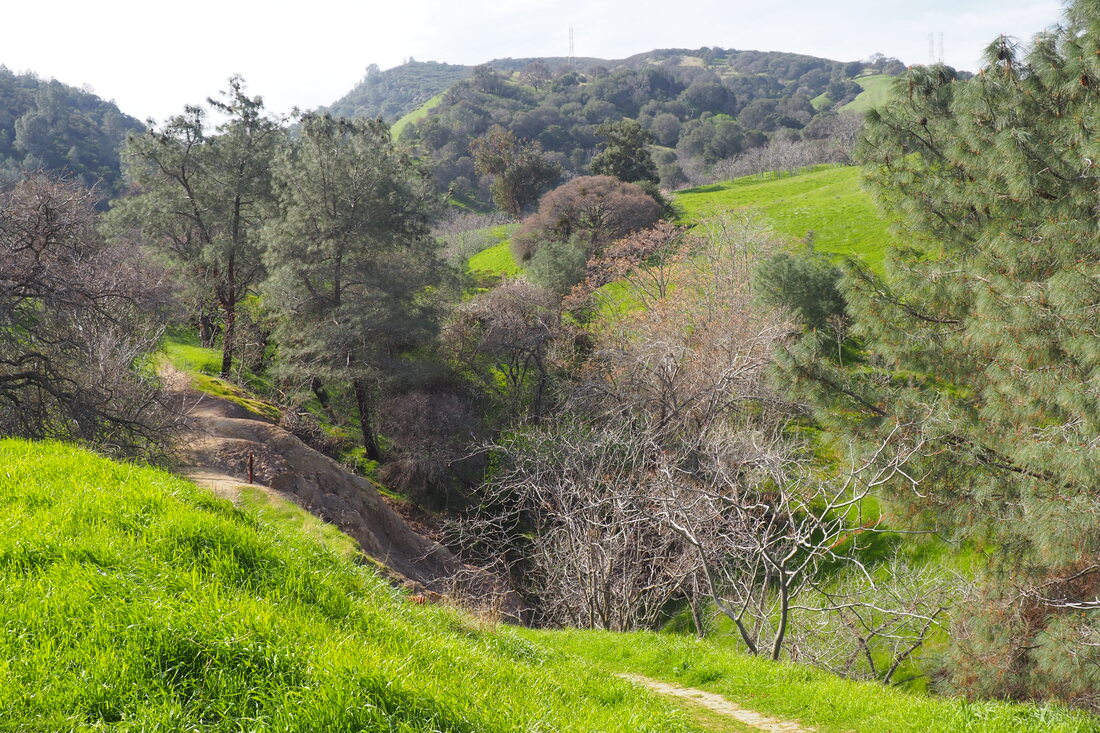
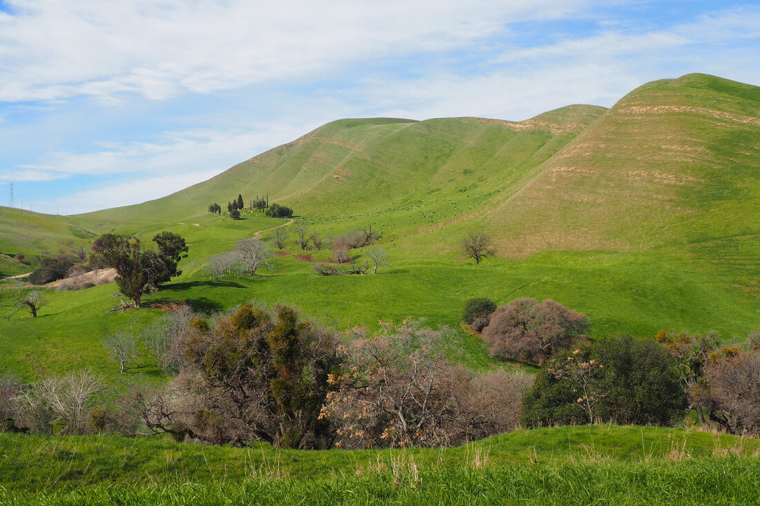
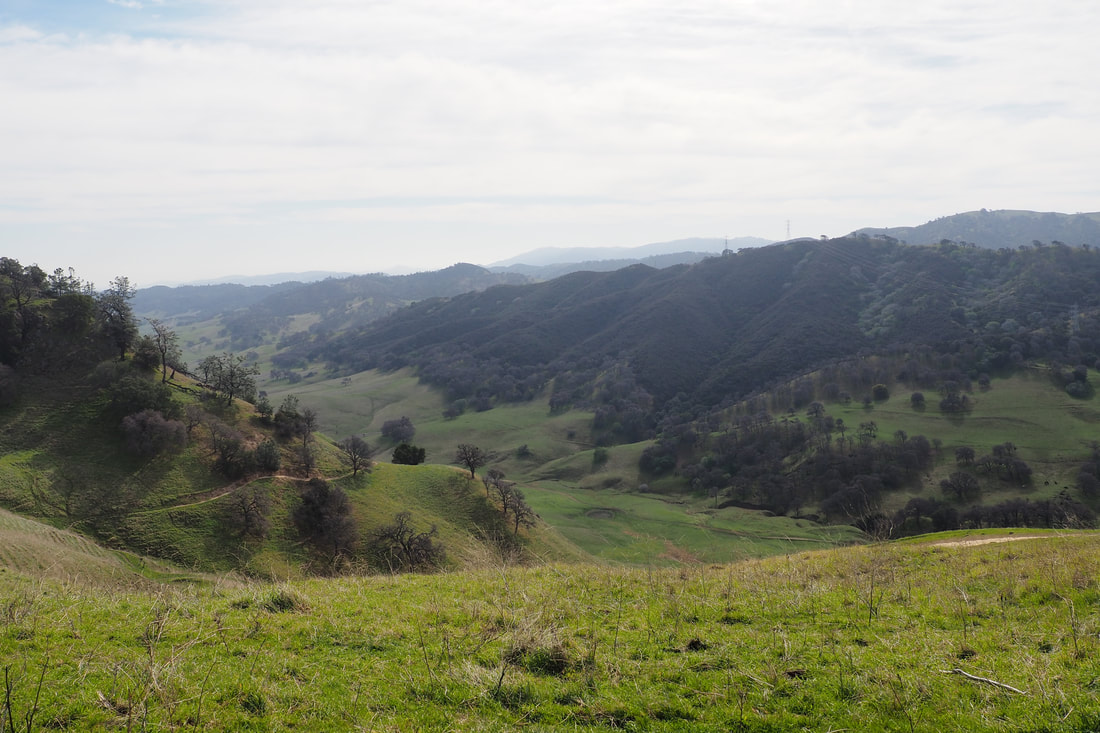
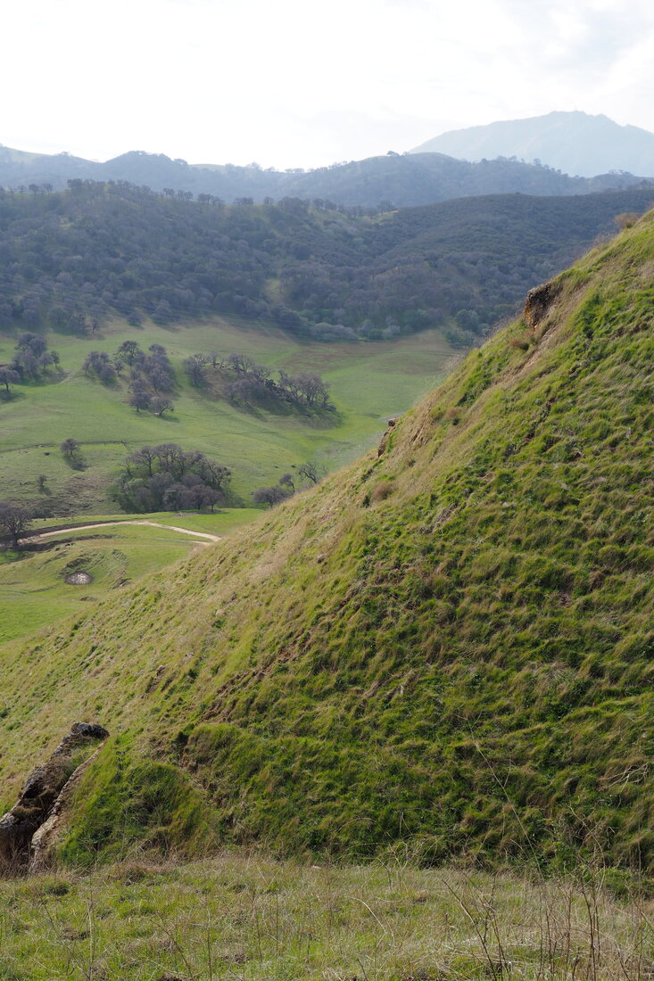
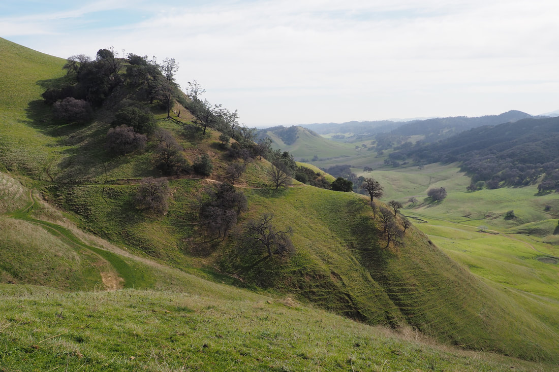
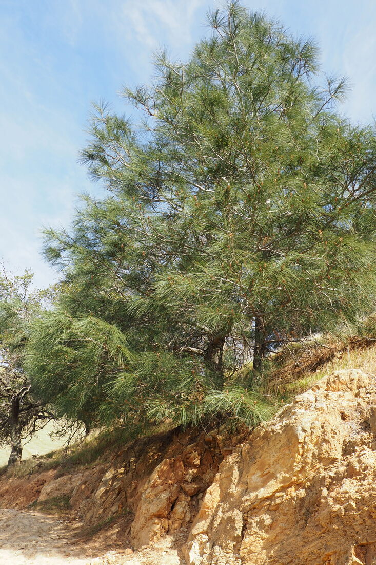
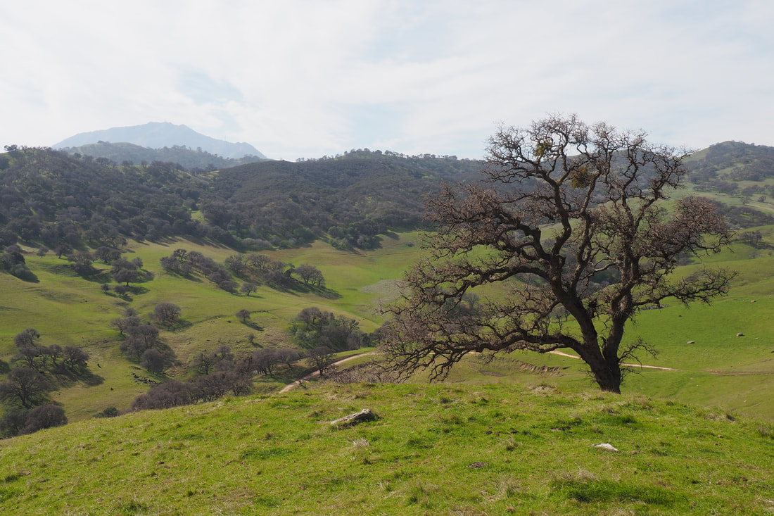
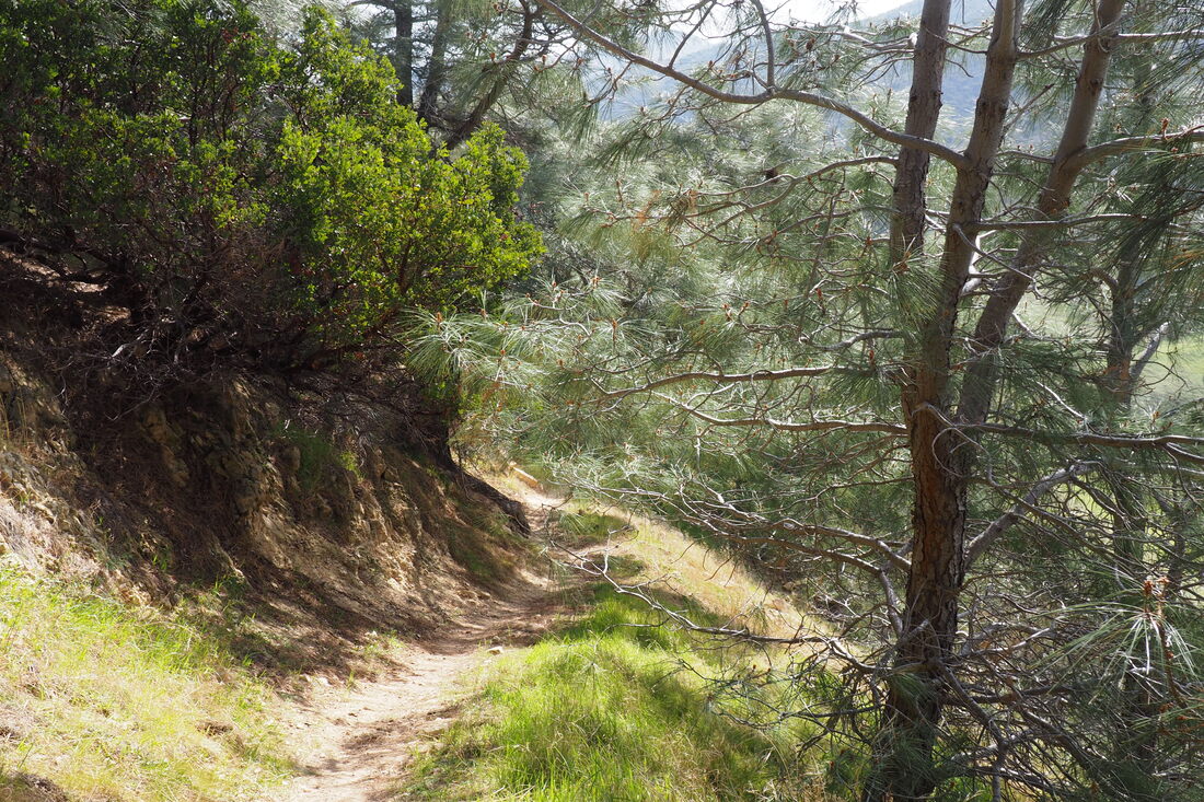
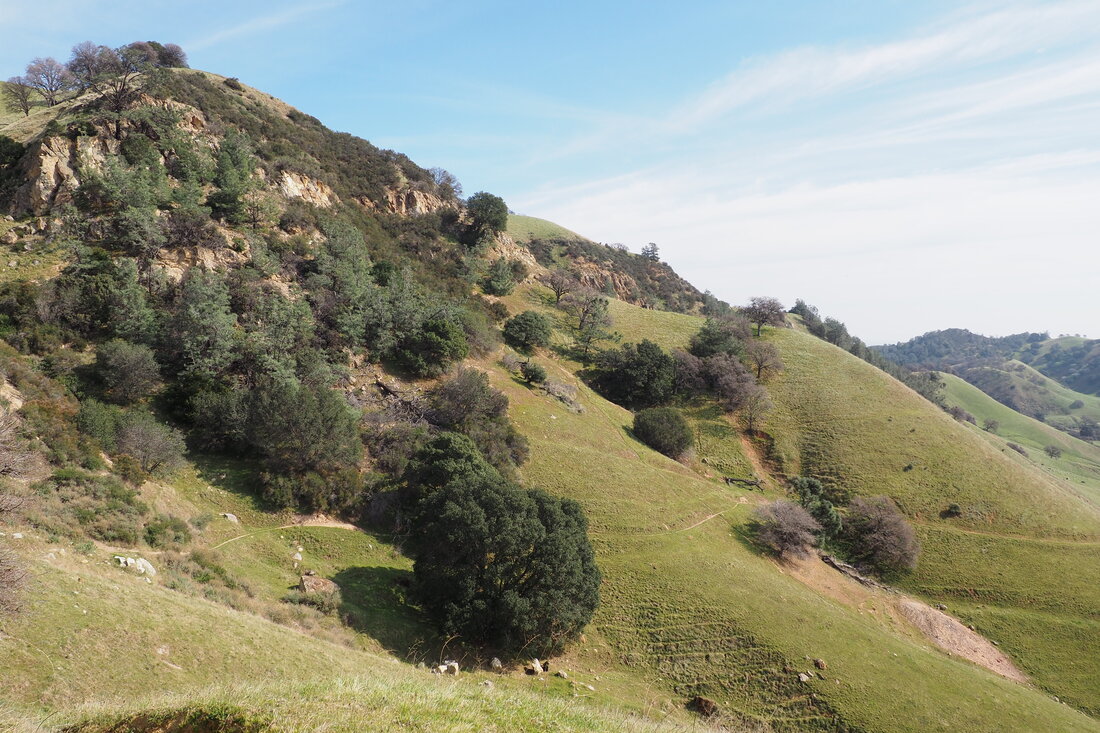
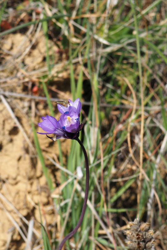
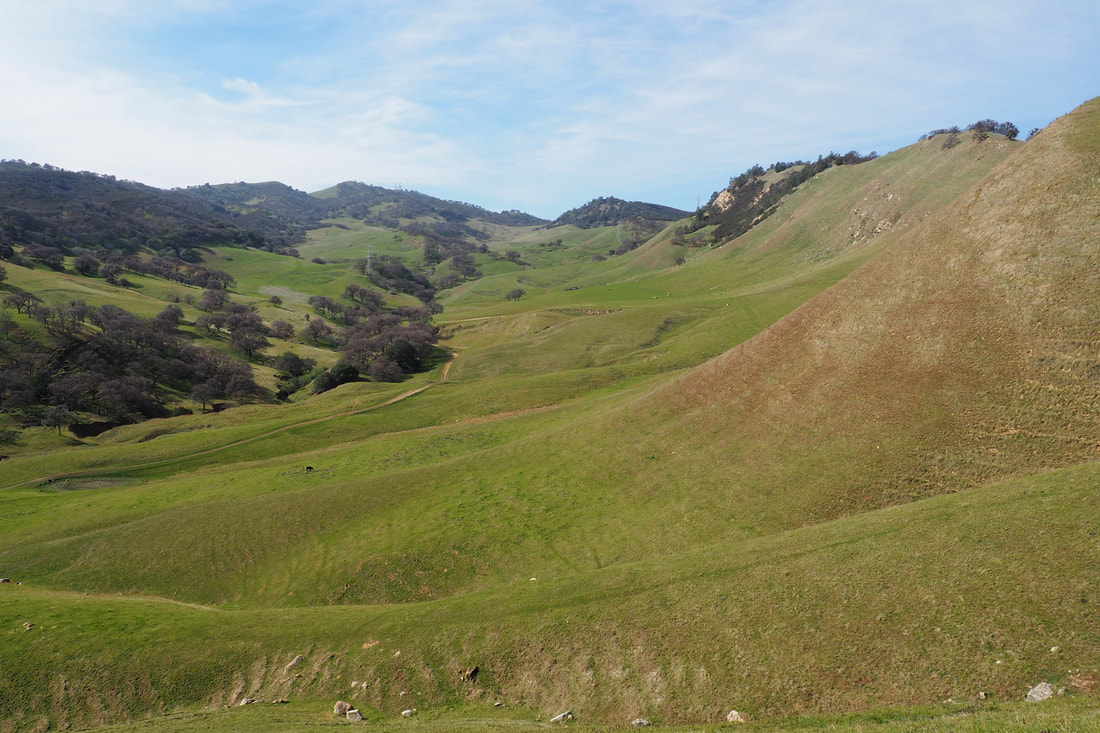
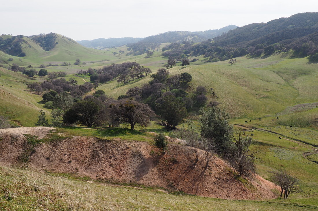
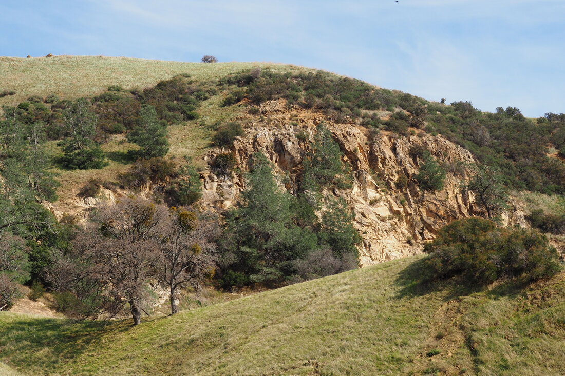
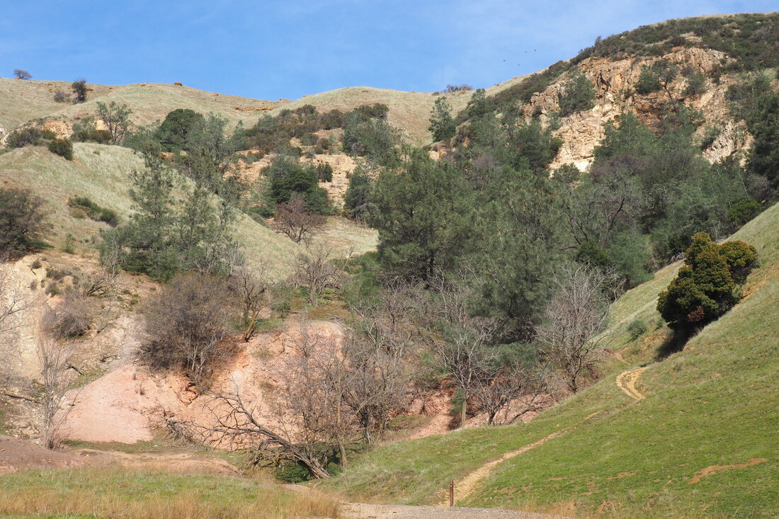
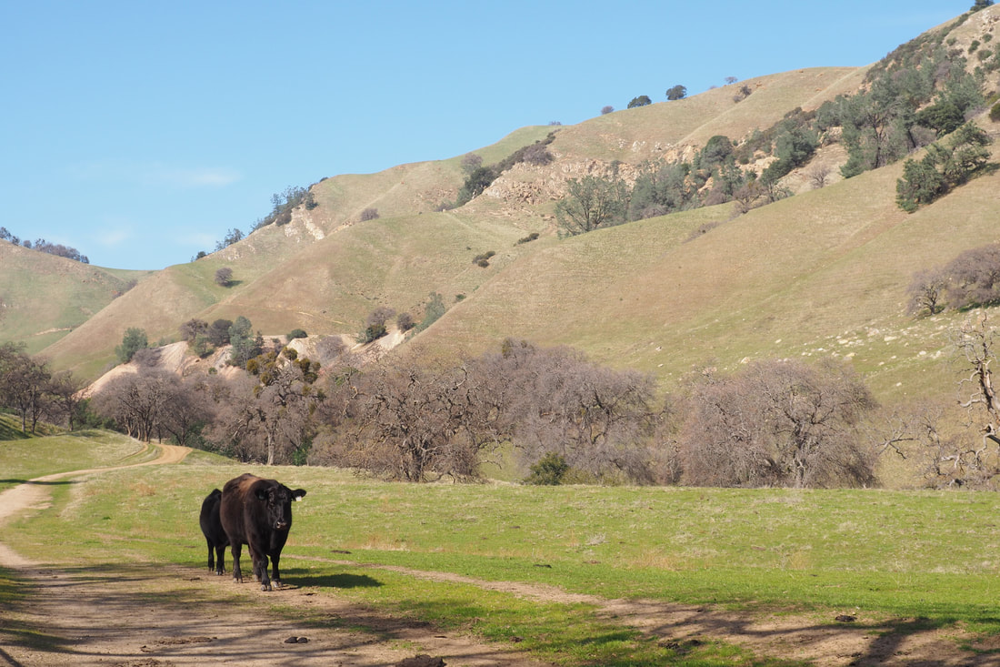
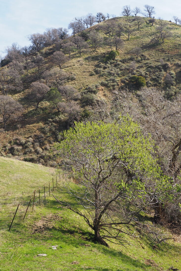
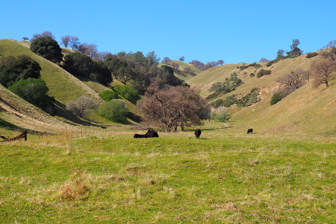
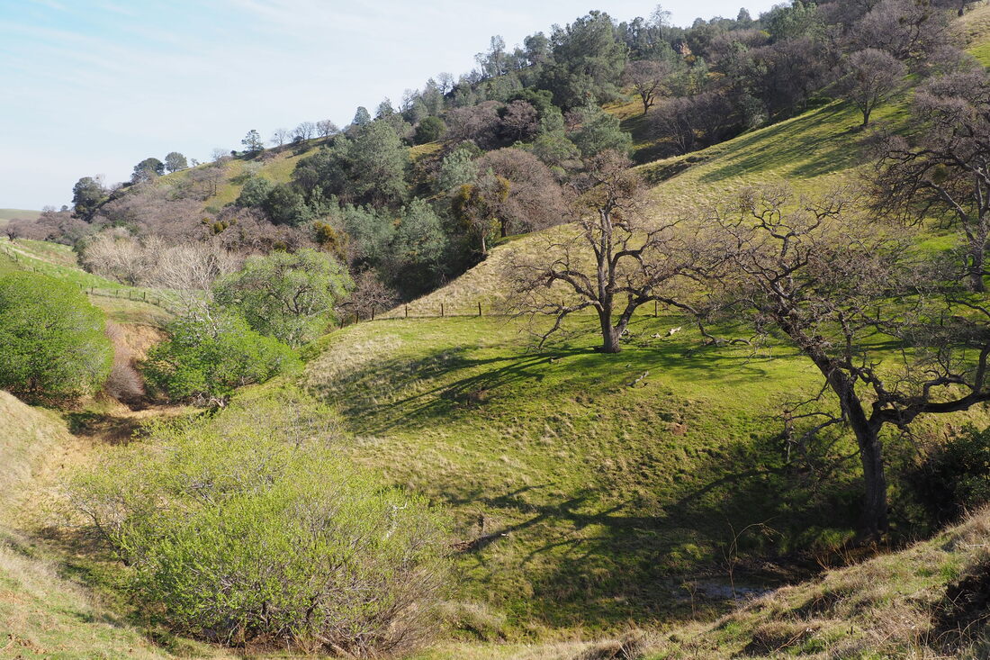
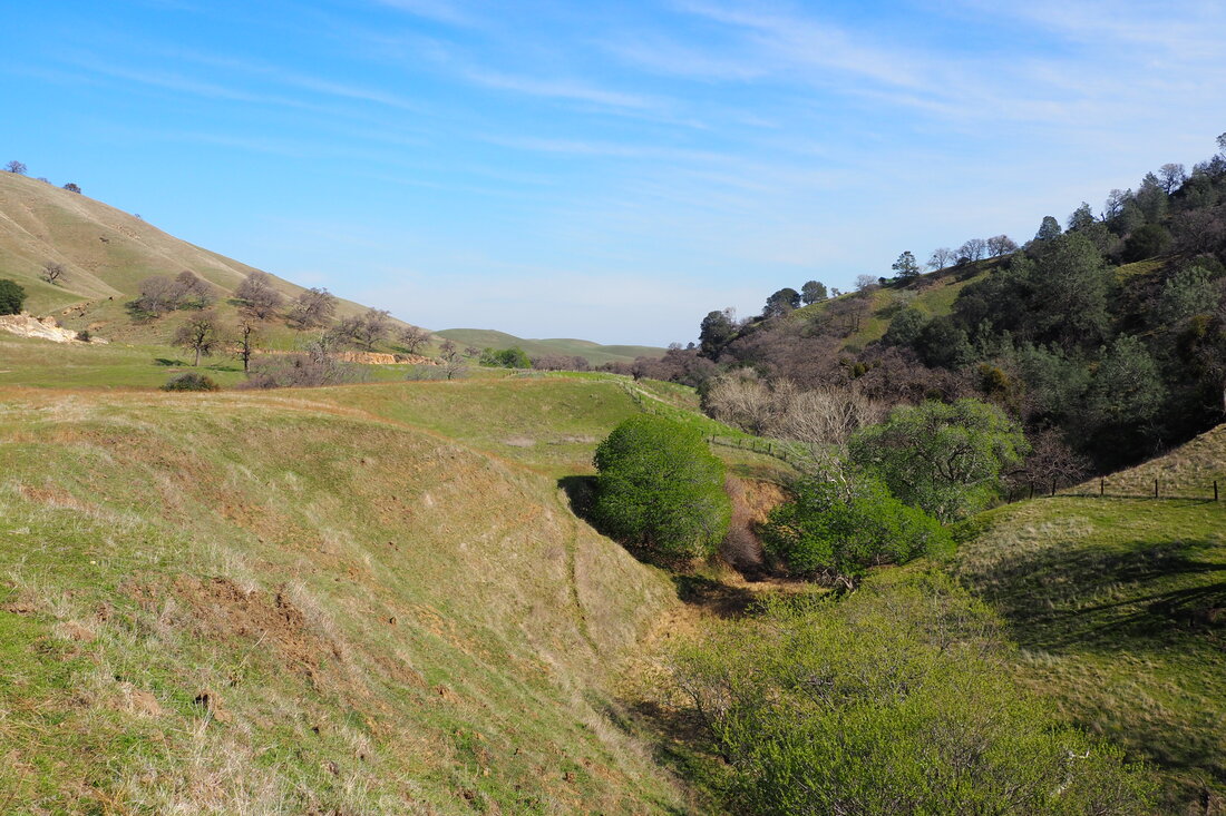
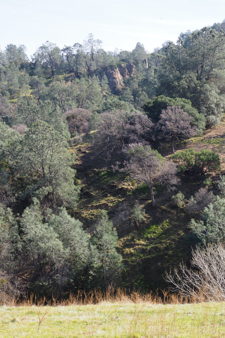
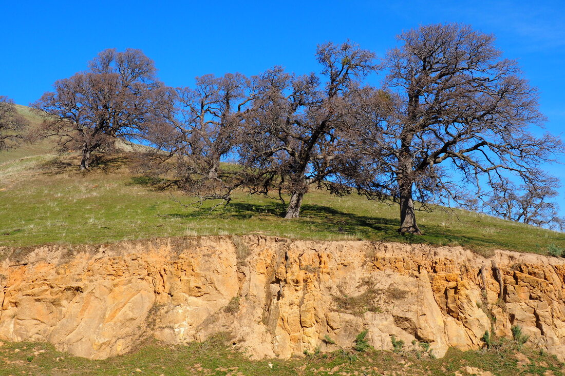
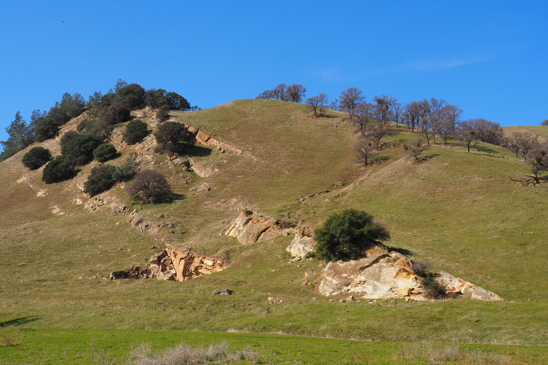
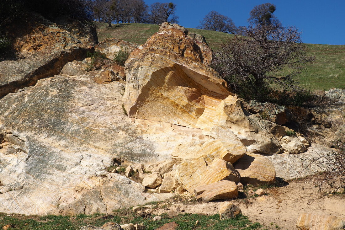
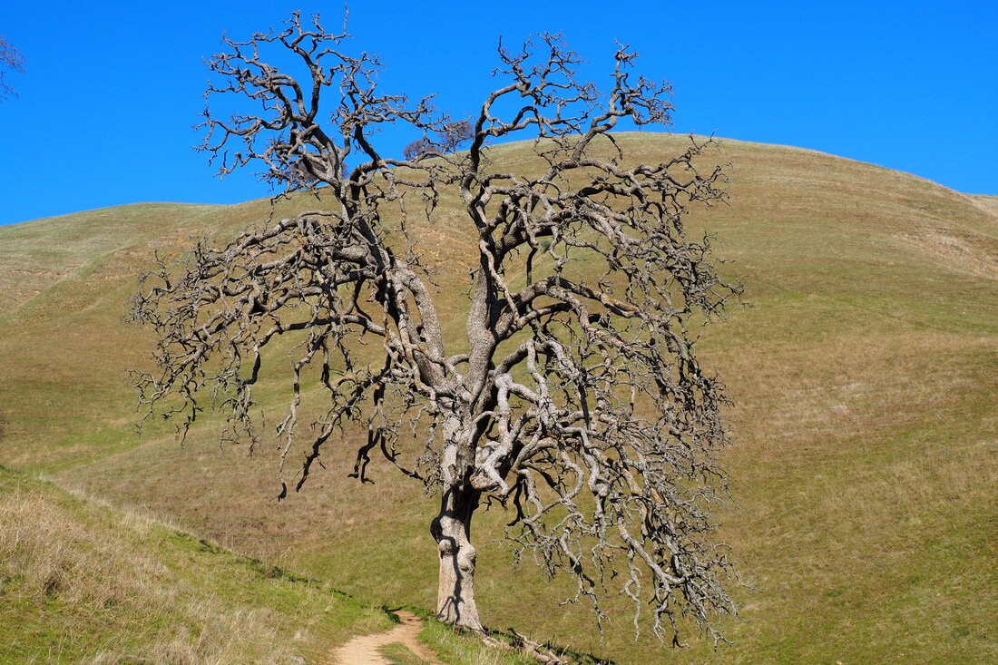
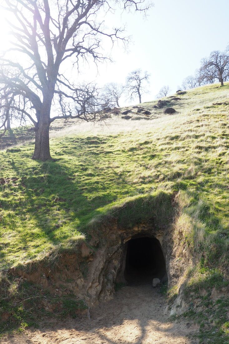
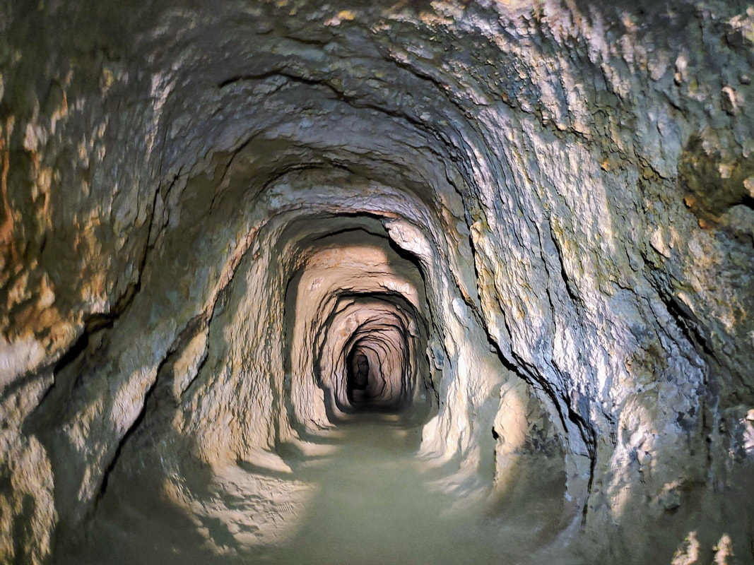
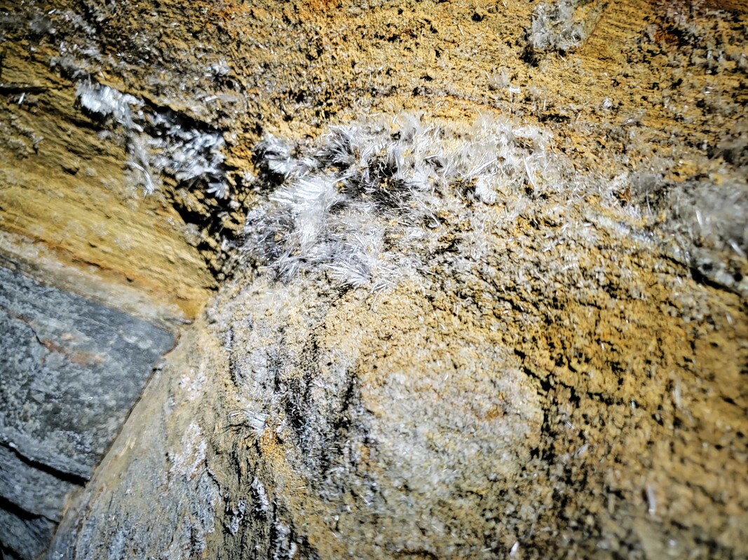
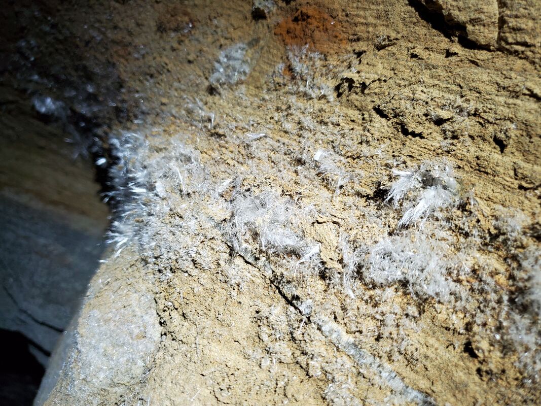
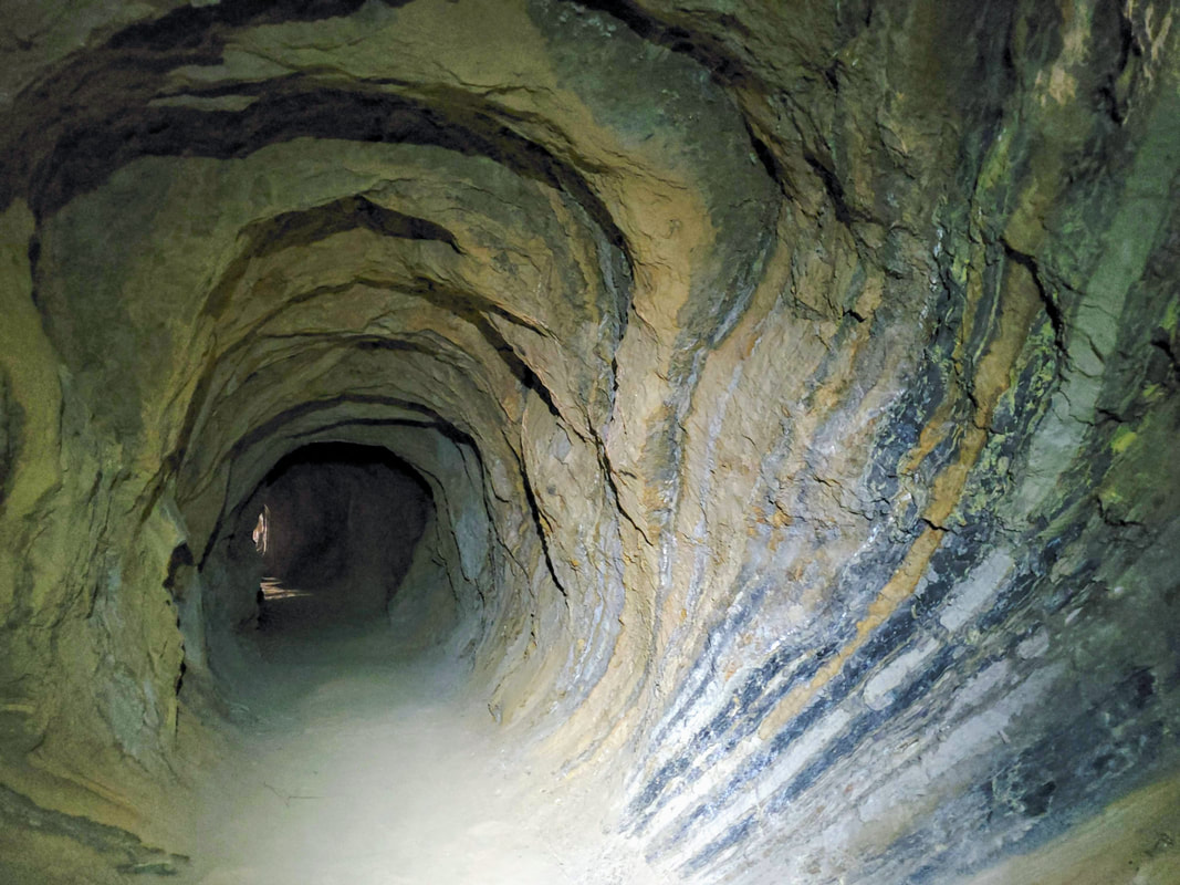
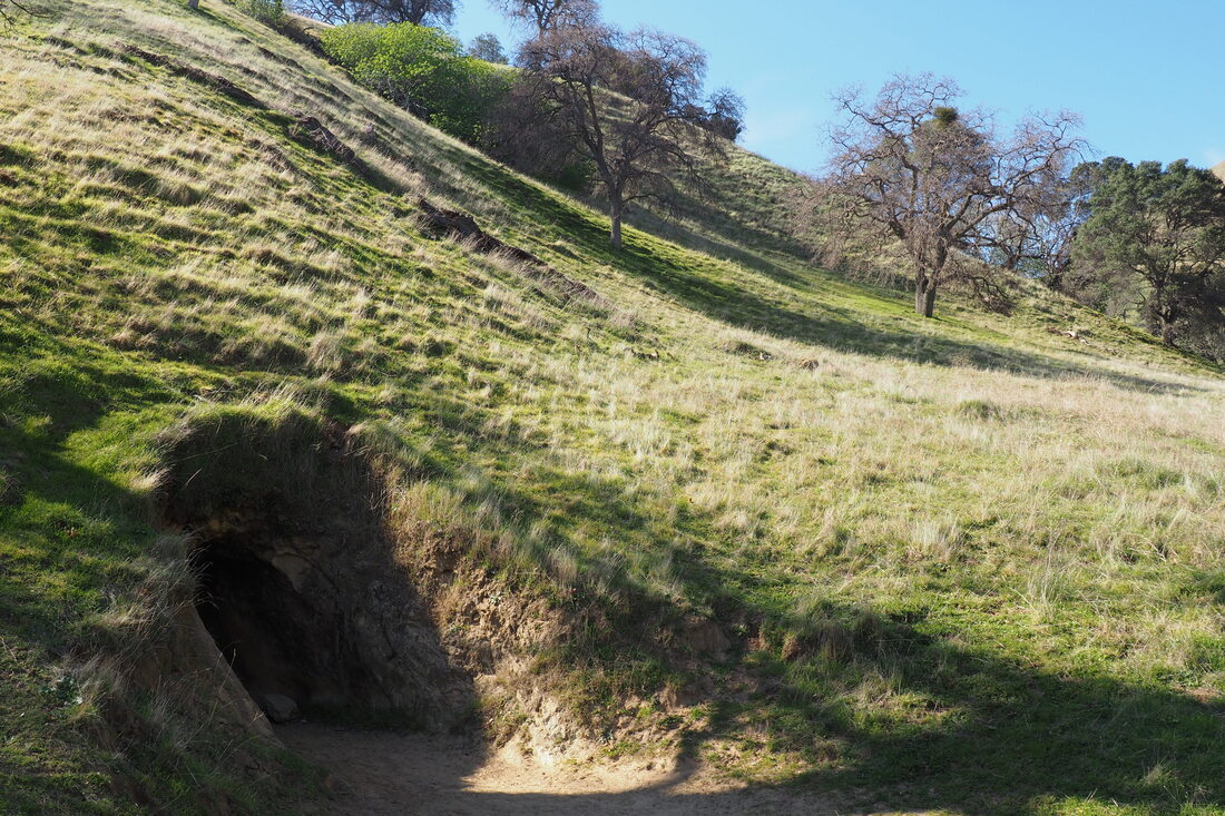
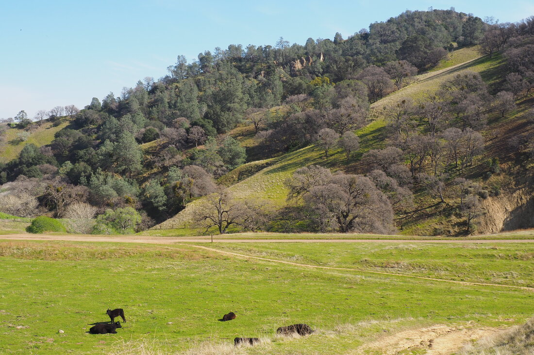
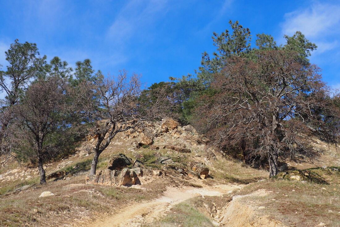
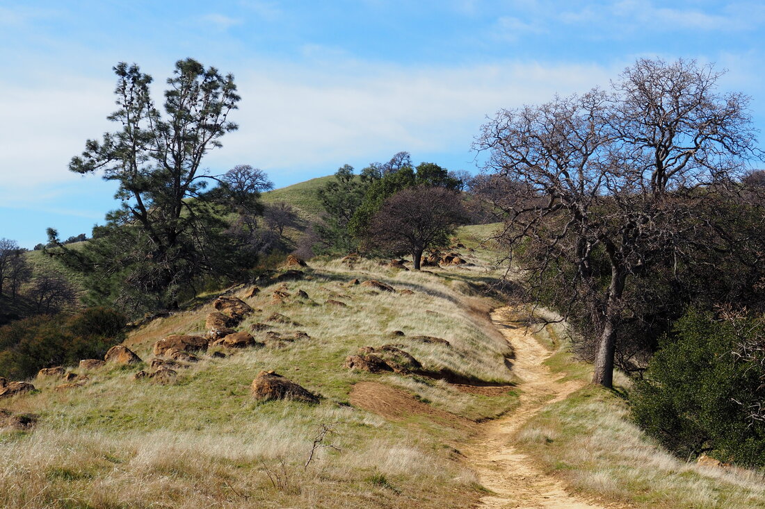
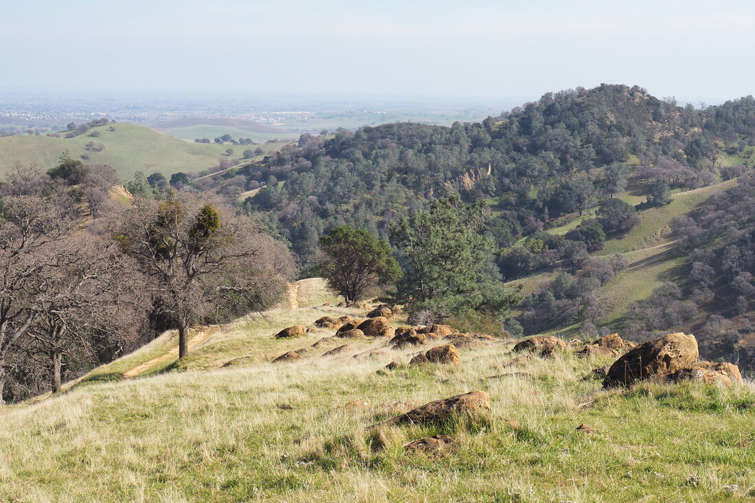
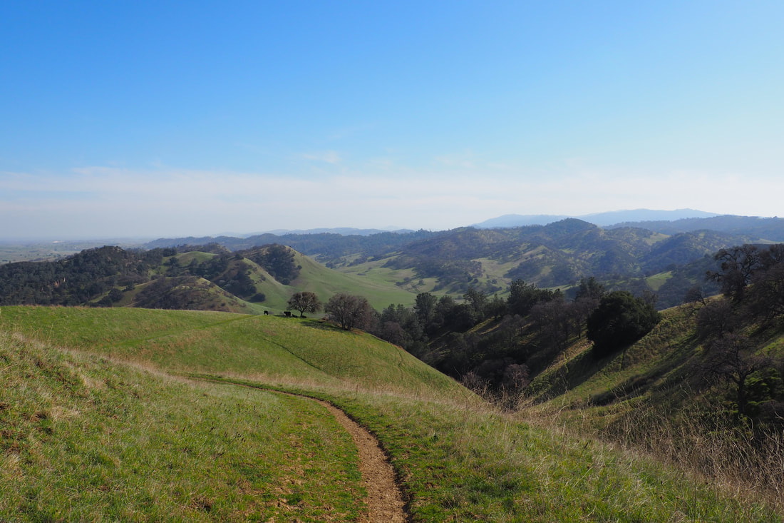
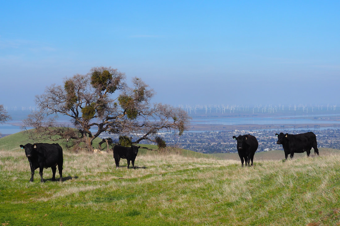
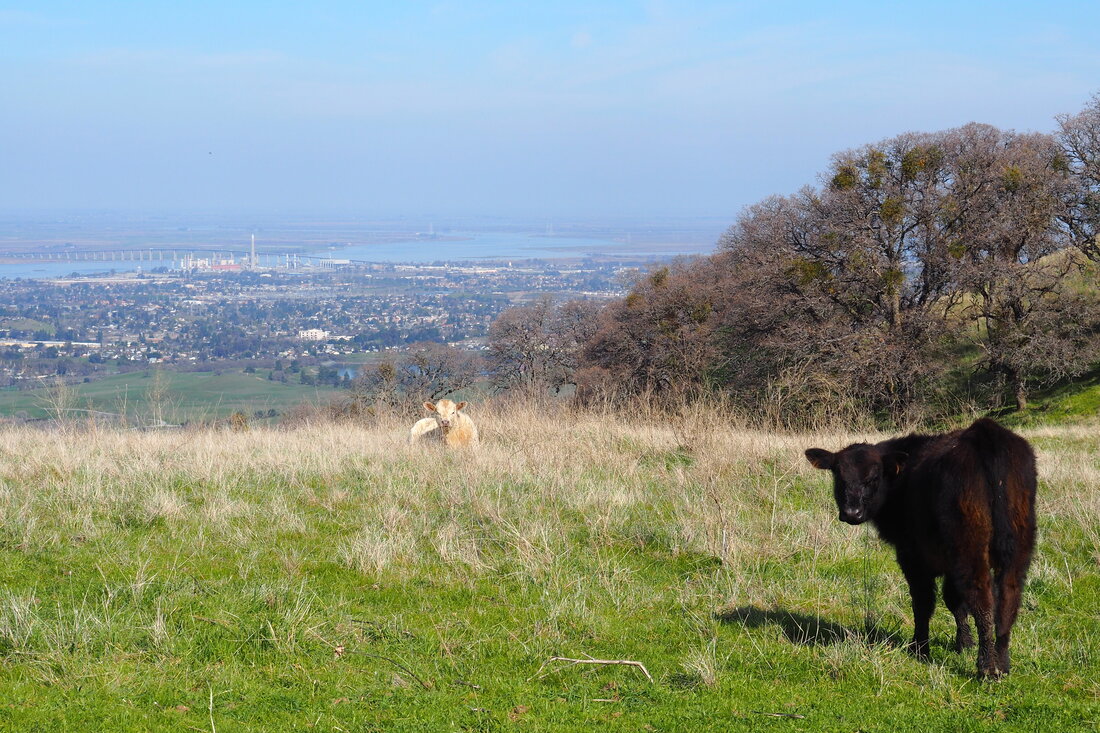
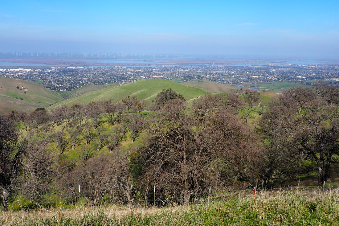
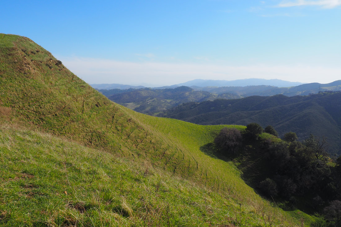
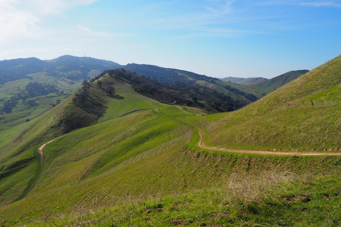
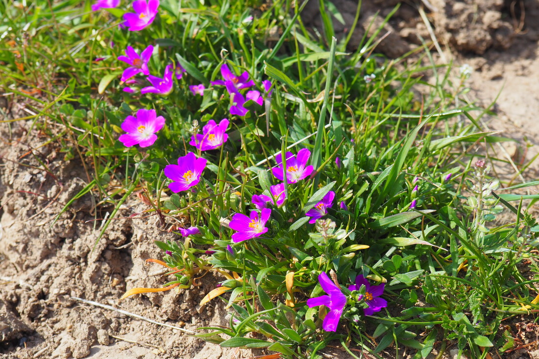
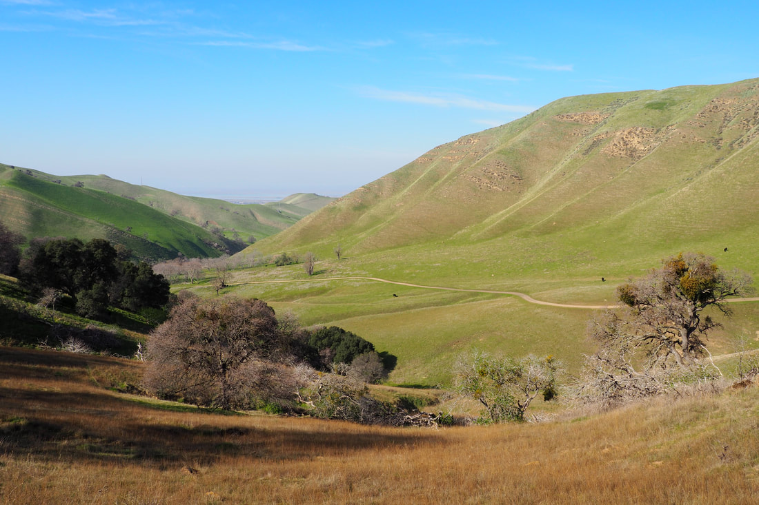
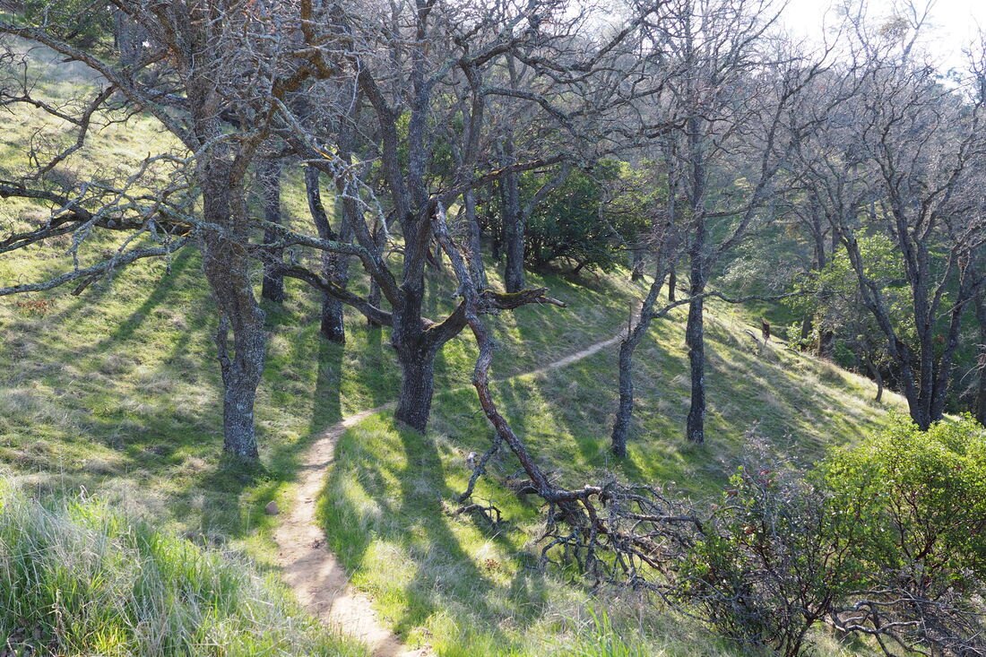
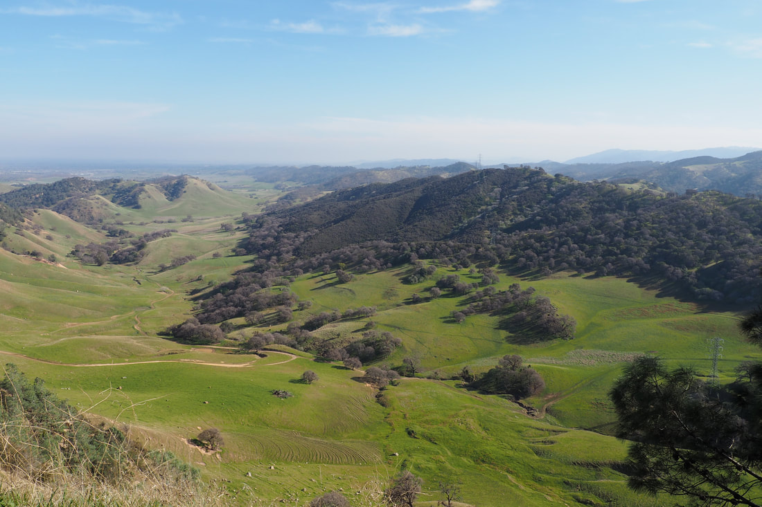
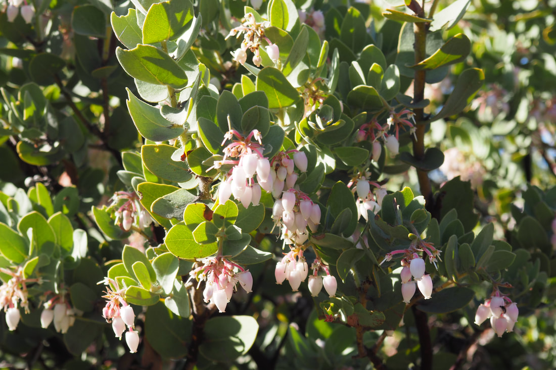
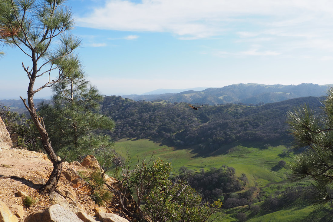
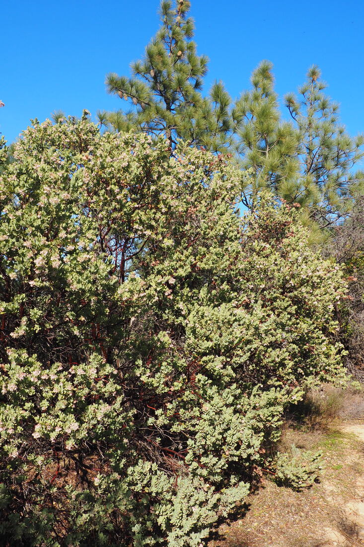
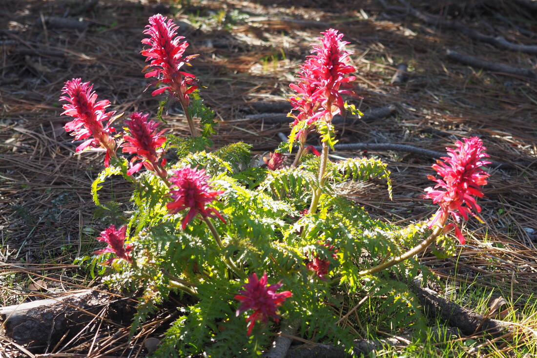
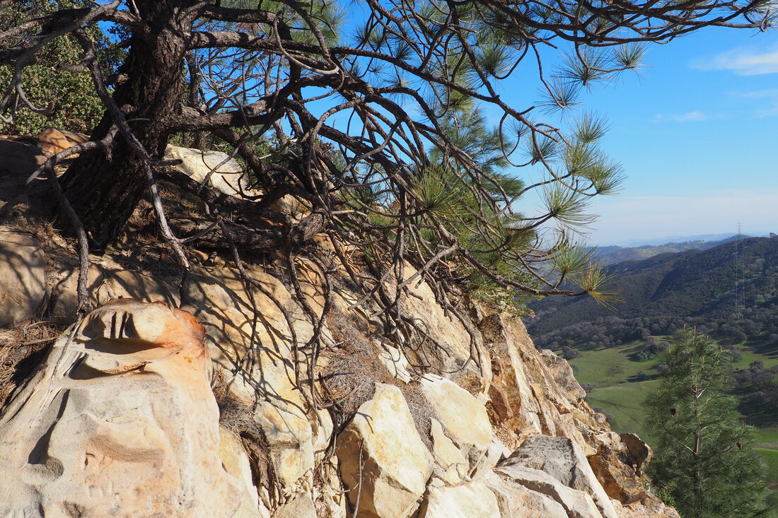
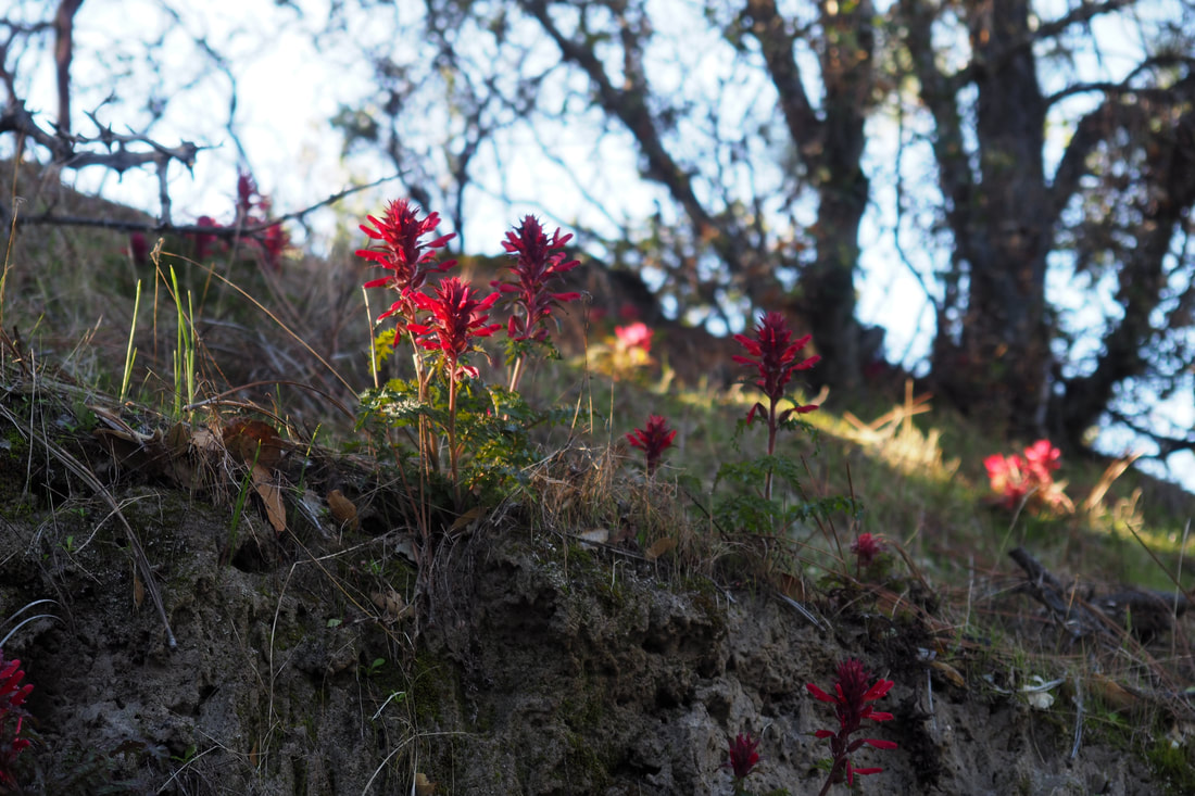
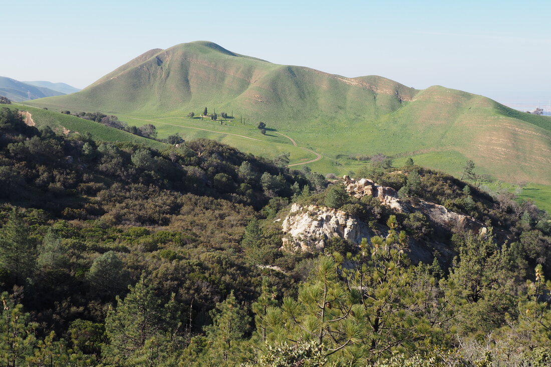
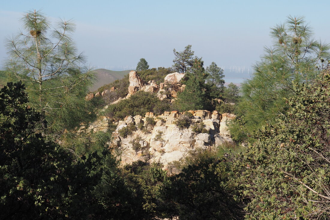
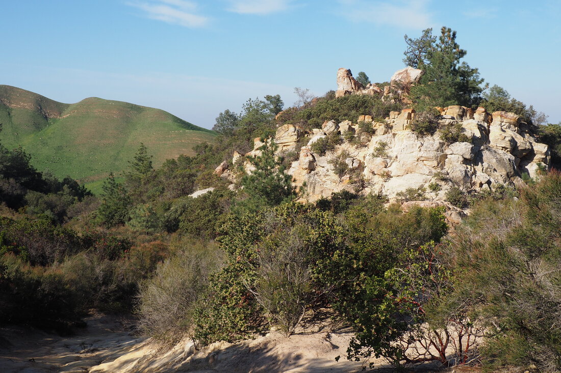
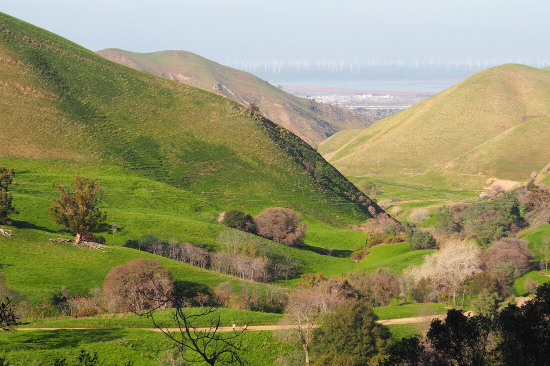
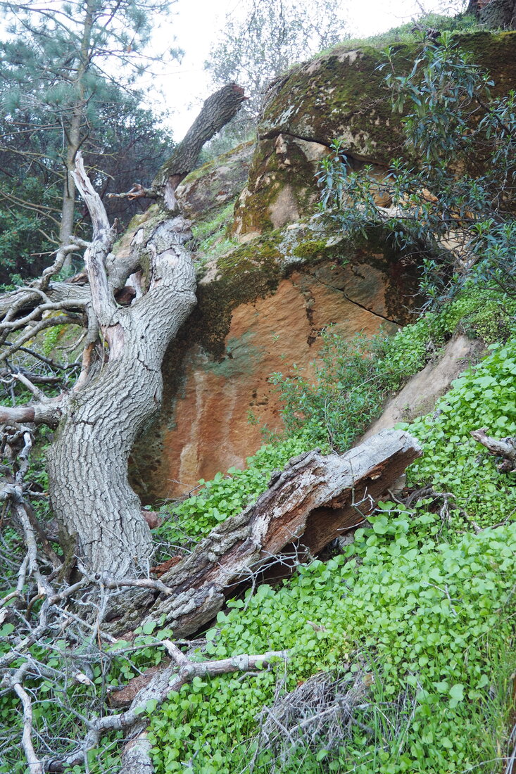
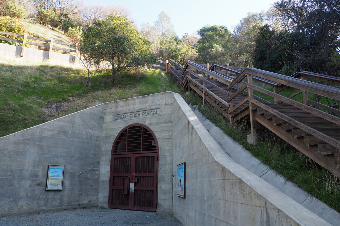
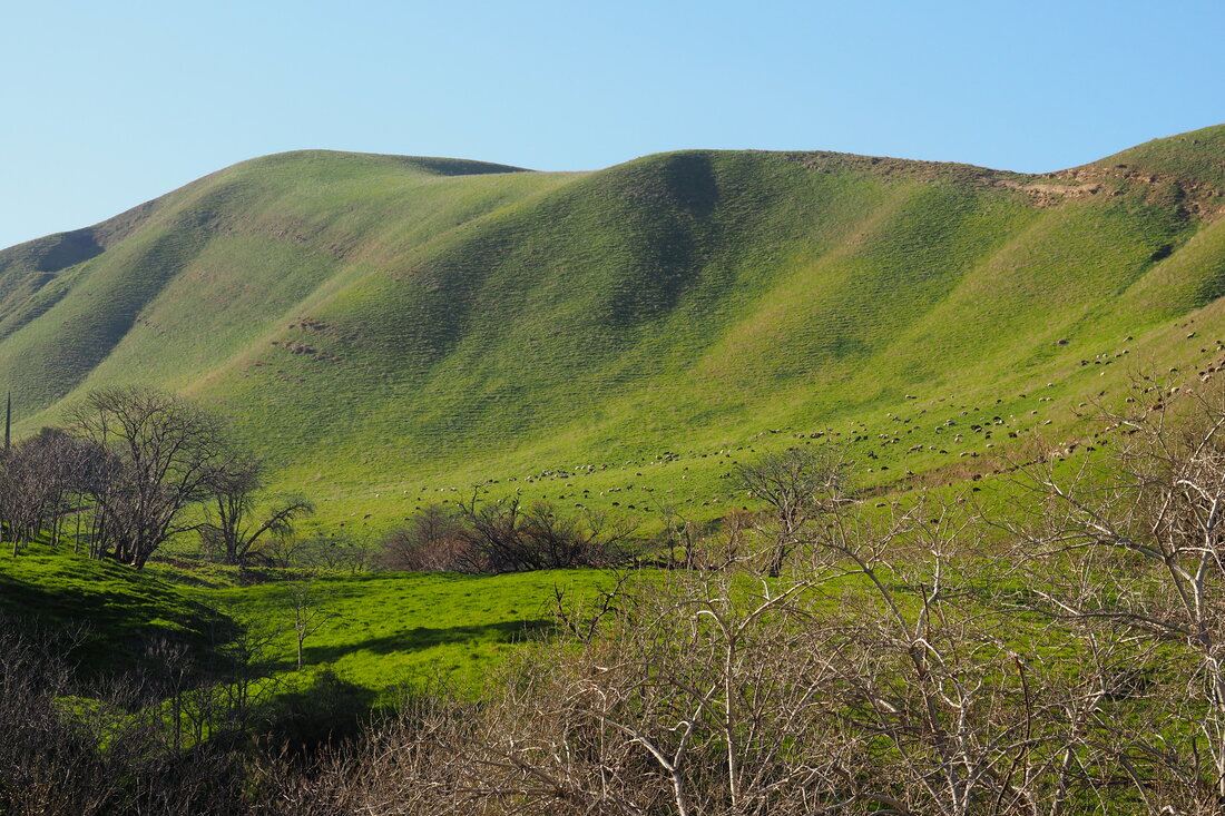
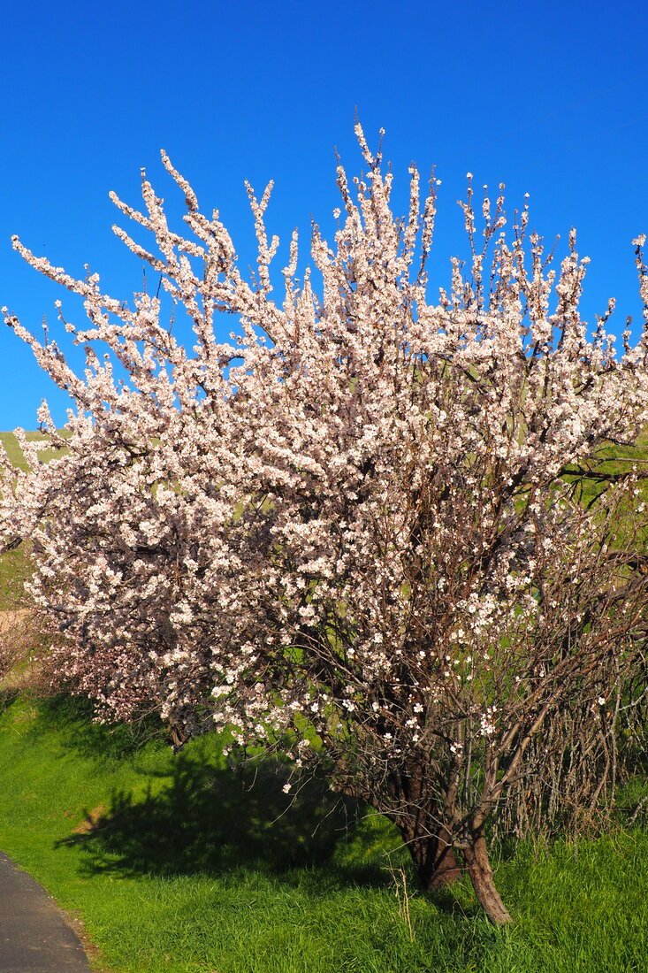
After passing through a cattle gate, I turned right to keep on this trail. After a short while I took the single-track Miners Trail to the left and used that to descend down into the valley below. This was one of the highlights for me. The trail is carved out of the side of the hill and you pass through various pines and lots of cool outcroppings of rocks. It is very beautiful, and you get lots of awe-inspiring views of Mount Diablo as you head downhill until it disappears under the ridge to the west of the valley. Some of the eroded rocks are quite pink, which made for a really interesting pop of color. After making your way all the way to the valley floor, cross the creek to rejoin Stewartville Trail. After passing the backpacking campground and some ranching equipment, you will head towards another colorful outcropping of rocks. Just past those rocks is a four-way junction where you can peel off to the left and take the single-track trail passed the large tree towards the Prospect Tunnel. This is a 400-ft tunnel that miners used to look for coal. You can walk 200 feet into the tunnel before you get to a locked iron gate. If you want to go in that far, note that you will need a flashlight. I keep a headlamp in my hiking backpack, so I was able to use it and it was REALLY cool. It was eerie how dark it got only a few feet into the tunnel, and the air felt really different in there, much heavier and "closer" than the air outside. I was really interested in these crystals that had formed along the walls of the tunnel (see pics below). After I finished exploring the tunnel, I retraced my steps on the Stewartville Trail to head back towards the Corcoran Mine Trail to head back uphill. This portion of the hike was a little strenuous, but it was very beautiful. It was mostly single-track, and each step up offered another beautiful perspective of the valley below. When I crested to the top of the ridge, I joined the Ridge Trail. Here there were expansive views of both the undeveloped valley of the Diablo Coal Fields to the west and Antioch, Contra Loma, and the California Delta to the north and east. I took this trail back towards the cattle gate, but instead of going back down hill I stayed on the Ridge Trail and headed further uphill towards the Chaparral Loop. Once this portion of the hike switched from fire road to single track, I really enjoyed it. I walked through a thick brush of manzanita, which was in bloom. The bees were loving the flowers, and the hum of bees was just deafening. I loved it. I also saw other flowers in bloom, including a type of Indian warrior. The daylight was just starting to wane, so I opted to take the Lower Chaparral Trail back down towards the mining areas. There was a very picturesque outcropping of rocks along this trail. As I exited the Chaparral Loop, I saw some of the mining sites, although most of them are not open right now. The route that I took was an excellent hike, but too strenuous for young children. I do plan to bring my daughter back here because I can tell that other features of the park would be excellent for kids of all ages. In March, the Hazel Atlas Mines will reopen (tours are appropriate for kids over the age of 7), and the park will debut an underground mining museum (appropriate for even the littlest kids). I also have a short loop picked out that I could take my daughter on, of about 1.7 miles and without too much of an elevation gain. (Explore the Rose Hill Cemetery and then take the Manhattan Canyon Trail over to the other side of the Chaparral Loop). Plus, the picnic areas (and the trails along the creek) would just be good for her to explore in her own toddler way, without even really hiking. I am looking forward to exploring this lovely park more!
1 Comment
Mom
2/25/2020 03:21:23 am
What a beautiful landscape with such a variety of subjects! It seems I saw San Francisco across the Bay. Must be close enough to visit again. What a Beautiful Day! Leave a Reply. |
Archives
December 2020
Categories
All
|

 RSS Feed
