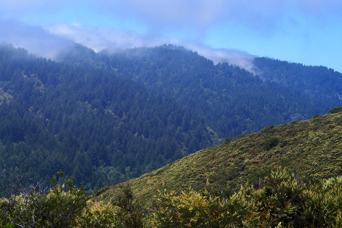
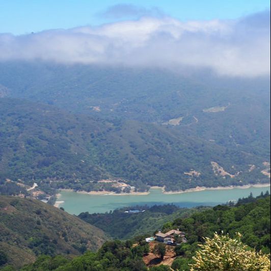
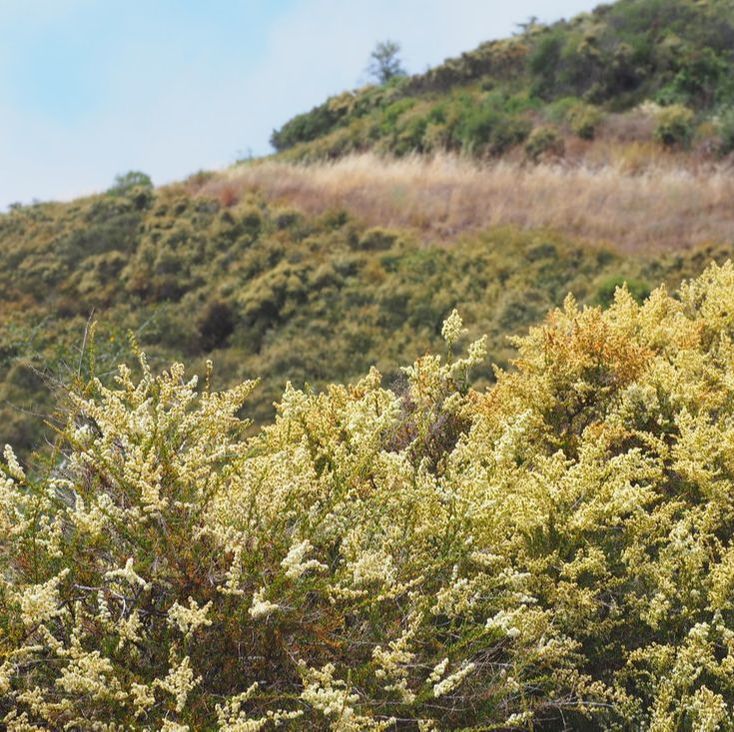
 This MROSD park is all about the vistas! You get to El Sereno from Highway 17, and then peel off on the Montevina road (it's 1.5 lanes but two-ways!). You take Montevina all the way to the end of the road, so the vistas start before you even get to the entrance of the park itself. Here is a helpful blurb about the park on the MROSD webpage: El Sereno Open Space Preserve is named for 2,249-foot Mt. El Sereno, part of a prominent ridge located south of the town of Saratoga and west of the town of Los Gatos. A distinctive scenic backdrop to these cities, the 1,415-acre Preserve is primarily a chaparral community with some wooded areas near the creeks. I was lucky enough to go on this hike when the chamise was in bloom, and it was just gorgeous to see it in the foreground as the fog rolled in over Sanborn County Park to the west in the Santa Cruz mountains. The clouds made beautiful shadows on the waters of Lexington Reservoir below.
0 Comments
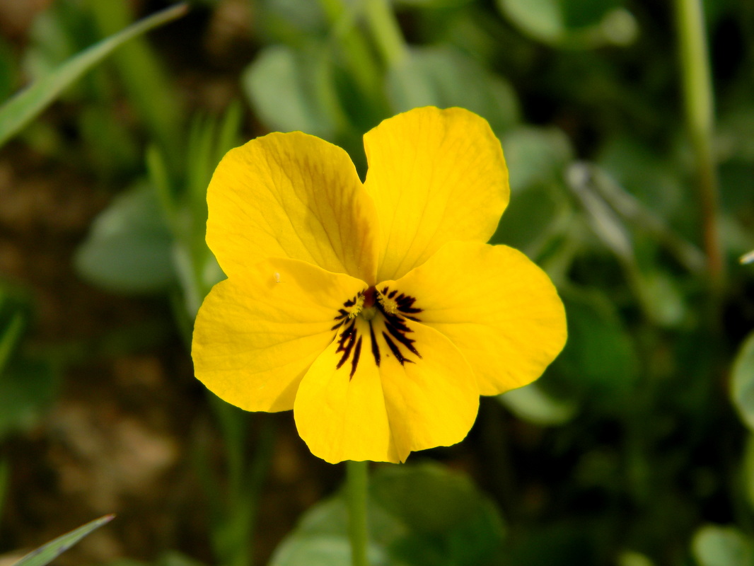
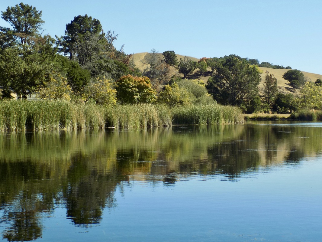 This was an encore visit to Foothills Park in Palo Alto. When I went before, I took a longer hike. This time I took a short and sweet hike of about 2 miles.
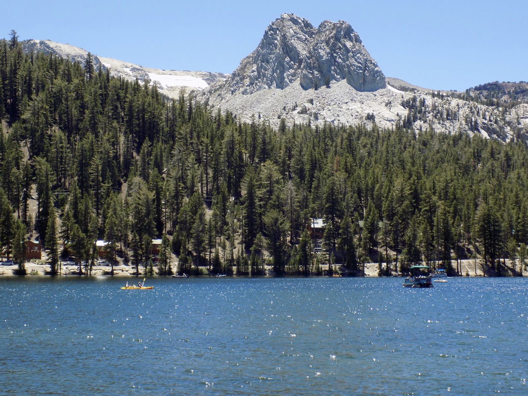 The last day of our Eastern Sierra camping adventure, my husband and I took a scenic gondola ride up to the top of Mammoth Mountain. When we were at the top of the 11,053-ft. peak, we met a naturalist from Inyo National Forest, who talked to us about the volcanic and glacial events that formed the mountains that we were walking on and observing. He pointed out to us the Mammoth Lakes Basin, which we had somehow missed on the day that we went to Devils Postpile National Monument. After we descended the mountain on the gondola, we drove the loop around Lake Mary (in the lede photo, along with Crystal Crag) to check out these beautiful terraced lakes.
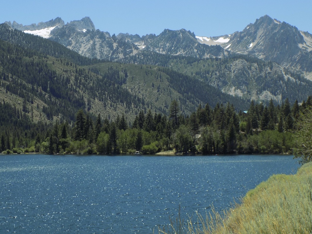 This area is one that we've only begun to explore. There are two places called "Twin Lakes" in the Eastern Sierras: one near the town of Mammoth Lakes and another near the town of Bridgeport, CA in Humboldt-Toiyabe National Forest. This post features the latter.
There are loads of campgrounds in the area, but the best one (which also had a day use area for kayakers and picnickers) was the Lower Twin Lakes Campground (make reservations here), which is right on the banks of Robinson Creek and a very short walk from Lower Twin Lake. From the lakes, you can see the Sawtooth Ridge. This ridge forms the northernmost boundary of Yosemite. The tallest peak in this ridge is Matterhorn Peak, which is featured in Jack Kerouac's 1958 novel, The Dharma Bums. The ridge also supports the Sierra's northernmost glacier system. See more photos after the jump! 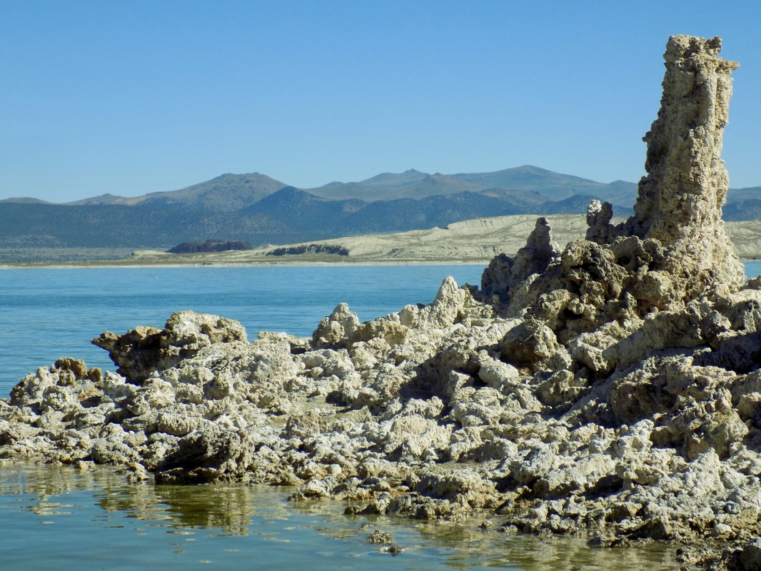 The South Tufa Area of Mono Lake is run cooperatively by Mono Lake Tufa State Natural Reserve (a California State Park) and the Mono Basin National Forest Scenic Area (part of Inyo National Forest). This area is an excellent area to visit if you want to see impressive tufa towers, calcium-carbonate spires and knobs formed by interaction of freshwater springs and alkaline lake water.
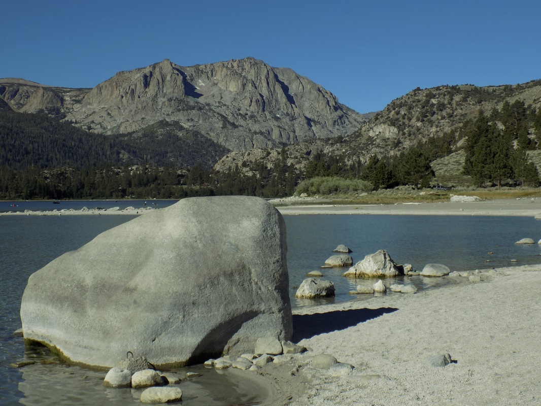 Oh Ridge Campground, near the charming town of June Lake, is one of the few reservable campgrounds near Mono Lake (see a partially outdated list of campgrounds here). Oh Ridge is in the high desert of the Mono Basin (elevation 7,600 ft). Most of the campsites are in the exposed sagebrush, but some of the loops do face the beautiful glacial lake of June Lake and there are a few trees to provide shade.
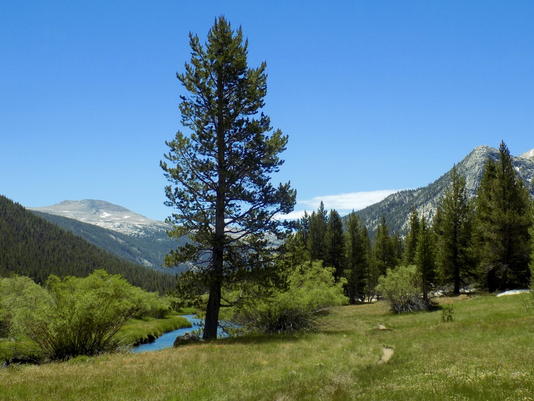 We passed through Tuolumne Meadows three times on our camping trip to the Eastern Sierras, and each visit offered us something new. When you enter Yosemite National Park, ask the ranger for information on Tuolumne Meadows, or download their pdf map here. If you are doing more substantial hiking, then you will definitely want to purchase a better map before you go. This was a wonderful new experience for us; previously, we had really restricted ourselves to Yosemite Valley. We really enjoyed trying out this new area of the park!
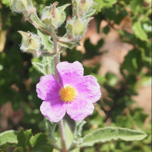
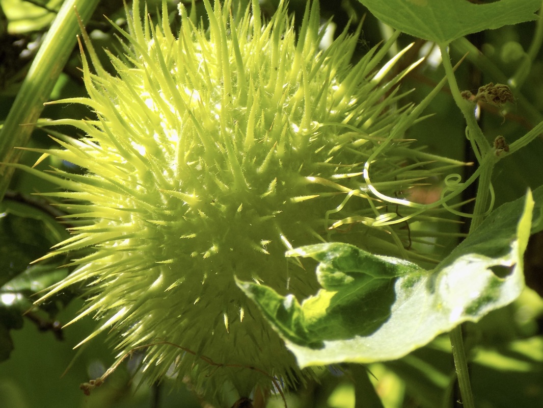 Wild Cucumber at Jasper Ridge Biological Preserve Jasper Ridge Biological Preserve is a field station for environmental research and it's part of Stanford University. It's not widely open to the public, but you can make a reservation for a docent-led tour. Because the docent will want to stop to talk about all the flora and fauna of the preserve, you won't be hiking for a long distance; however, you will learn a lot about what you're seeing. For example, our outstanding docent, Debi, led us on a hike around the Searsville Reservoir. The distance we walked was only 1.3 miles; however, the tour lasted 3 hours because she showed us so many cool plants, flowers, butterflies, and birds and she answered all our questions. It was really cool to have an expert there to tell us what we were seeing!
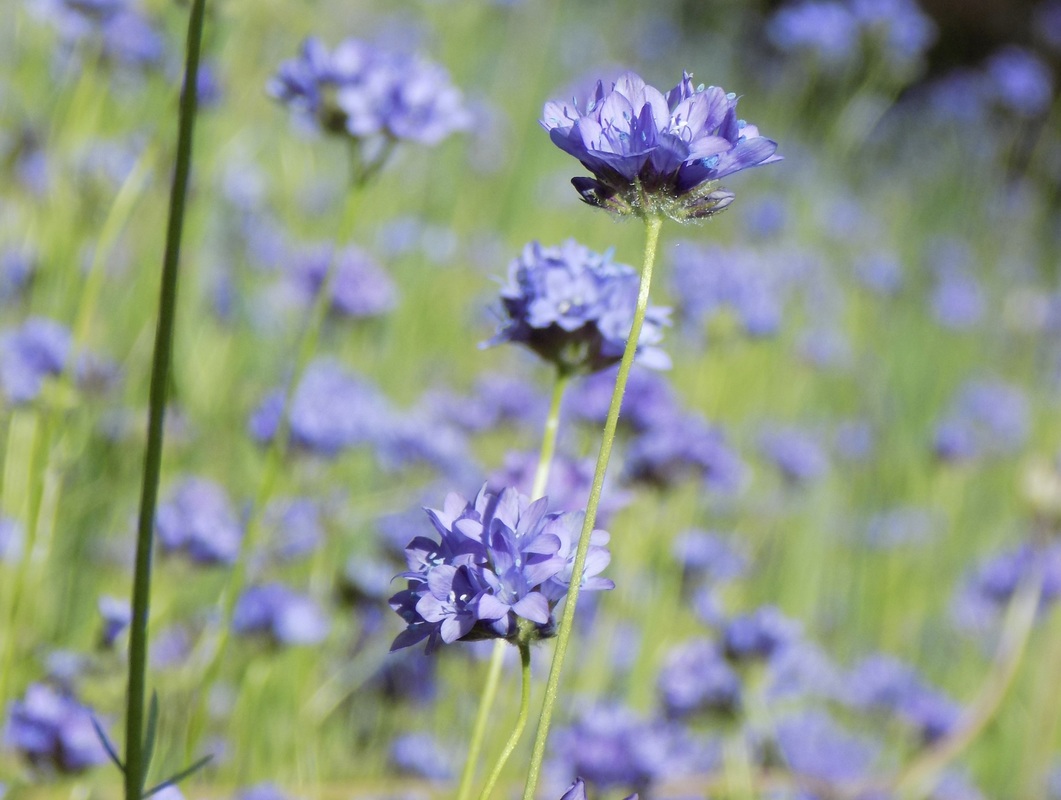 This 7-mile version of the hike that I did late last February did not disappoint! This trip to Henry Coe State Park was during a glorious weekend in April, so my husband and I had to use the overflow parking. The trail from overflow parking to the park headquarters is half a mile, and each way to Frog Lake along the Flat Frog Trail is 3 miles. We just went out to the lake and back to take advantage of the flat hike. The wildflowers were spectacular!
 This 8-mile hike through the western tip of Henry W. Coe State Park only goes through a small portion of the 87,000 acre wilderness area east of San Jose, but it is a pretty impressive hike nonetheless!
|
Archives
December 2020
Categories
All
|
 RSS Feed
