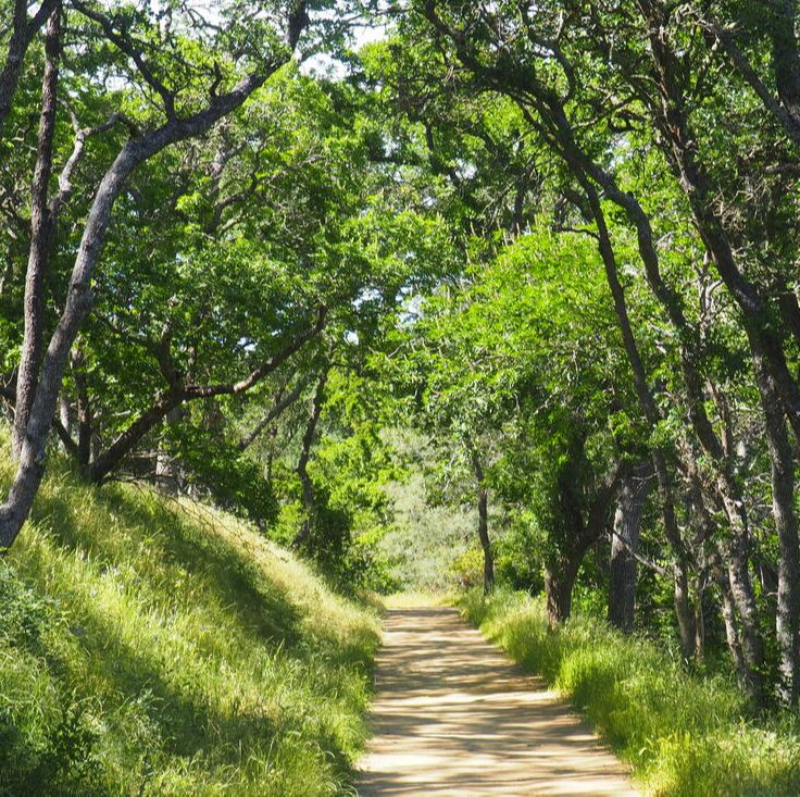
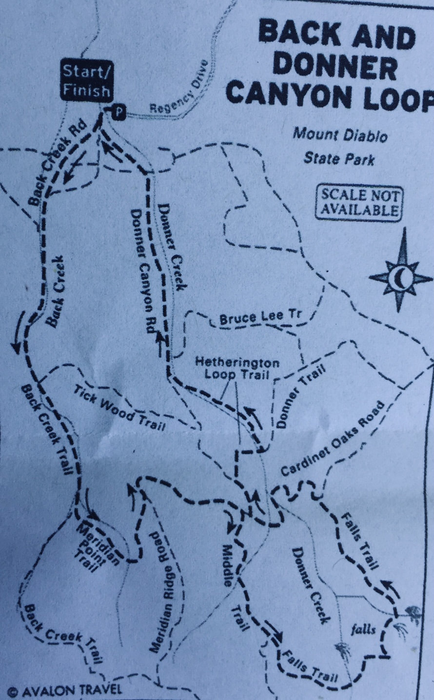
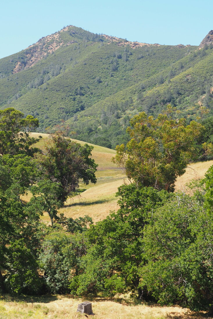
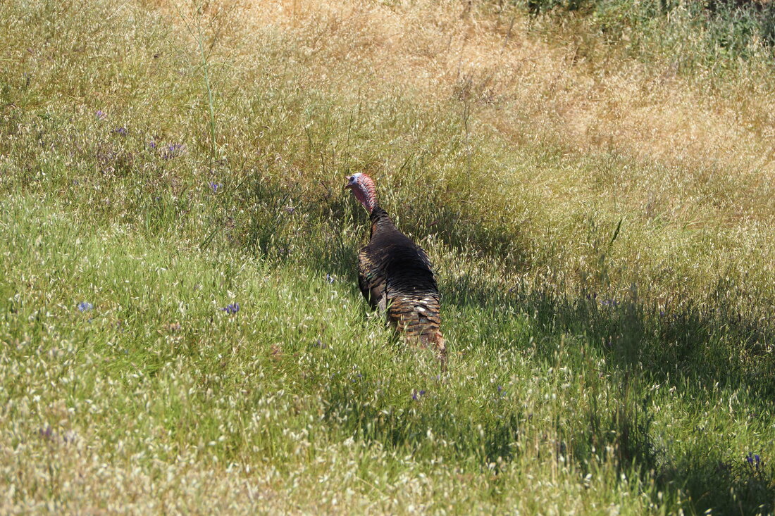
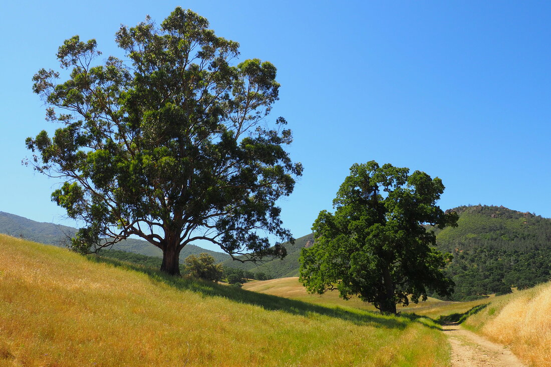
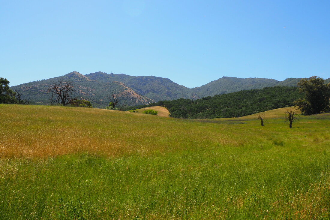
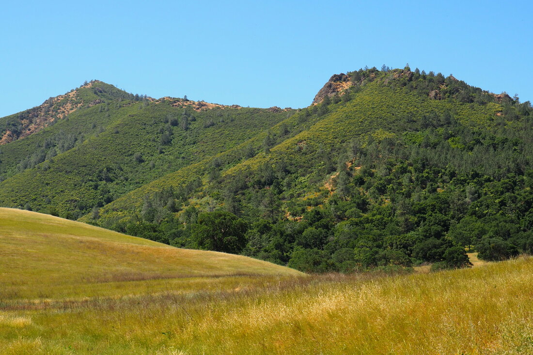
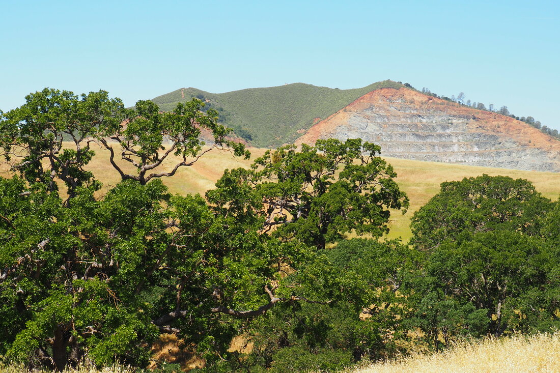
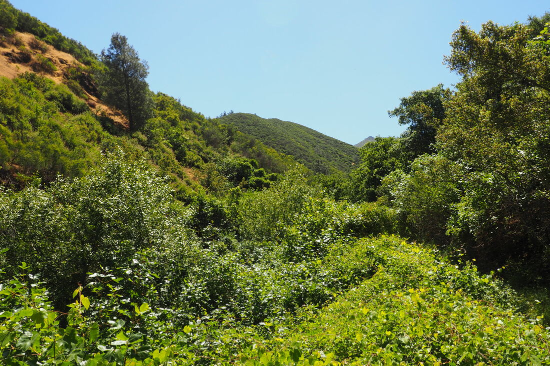
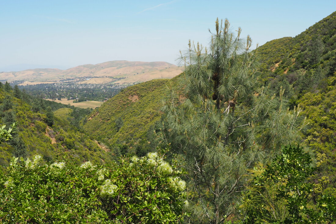
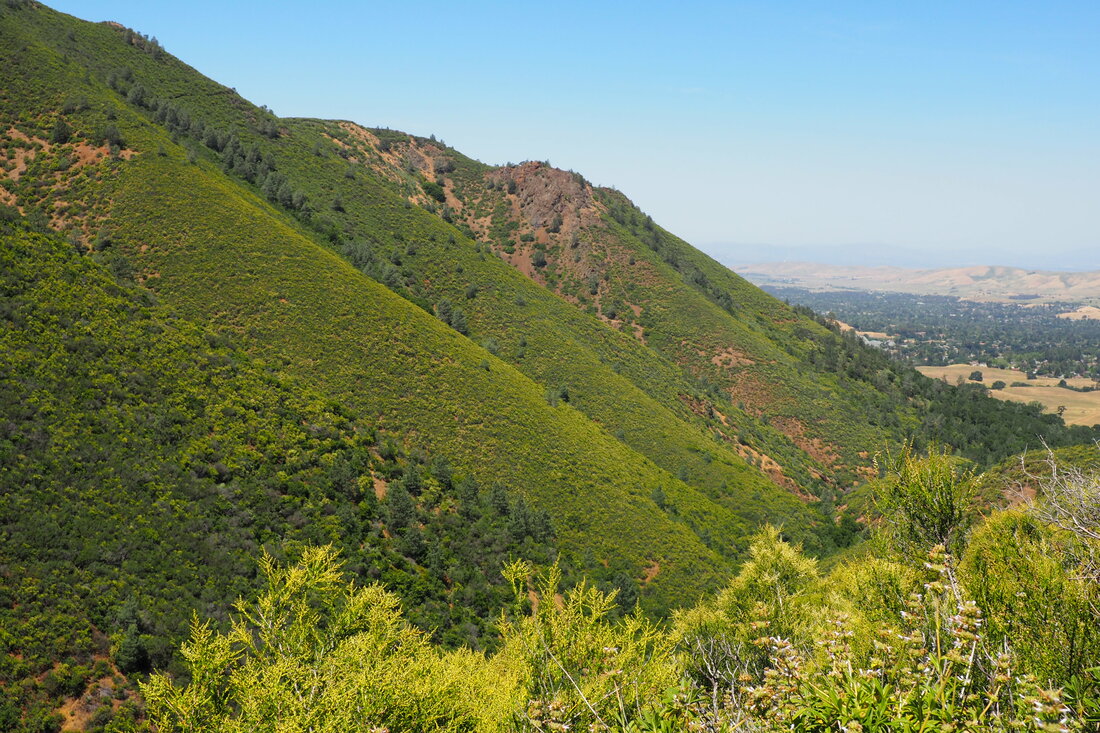
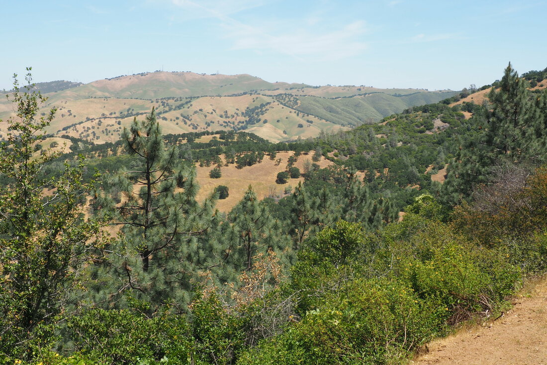
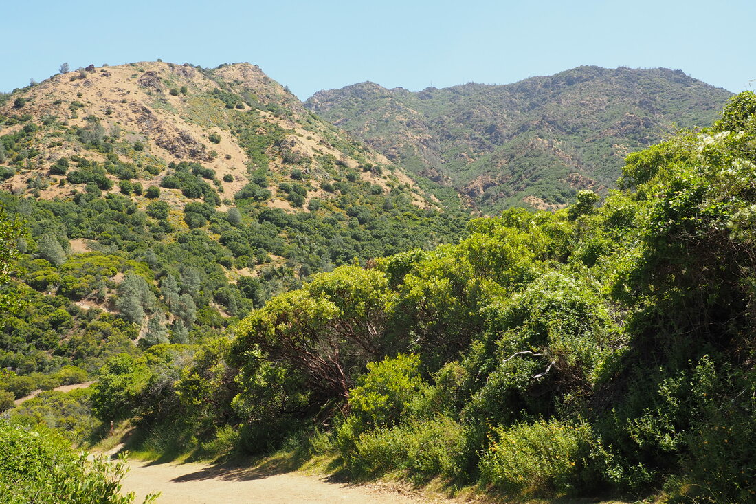
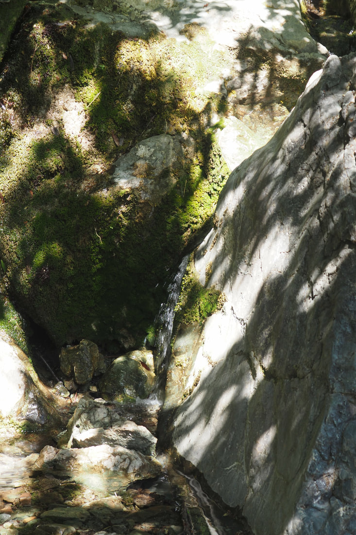
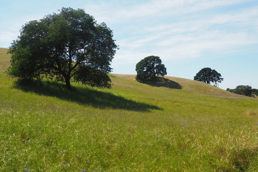
 This 8-mile loop through Mount Diablo State Park's northern area is one of the best hikes that I have been on in recent memory. The different parts of the loop had wildly different ecosystems, which meant that every new leg of the trail offered something more. I think that this might be the tail end of the season to do this hike. Although I was lucky to see water in the waterfalls and wildflowers at every stage of the hike, it was starting to get hot. I can imagine that it would not be pleasant to do this hike in even a couple of weeks. I will have to come back here next winter or spring to do this hike again though, because it was incredible! Wildflower highlights
Trail highlights
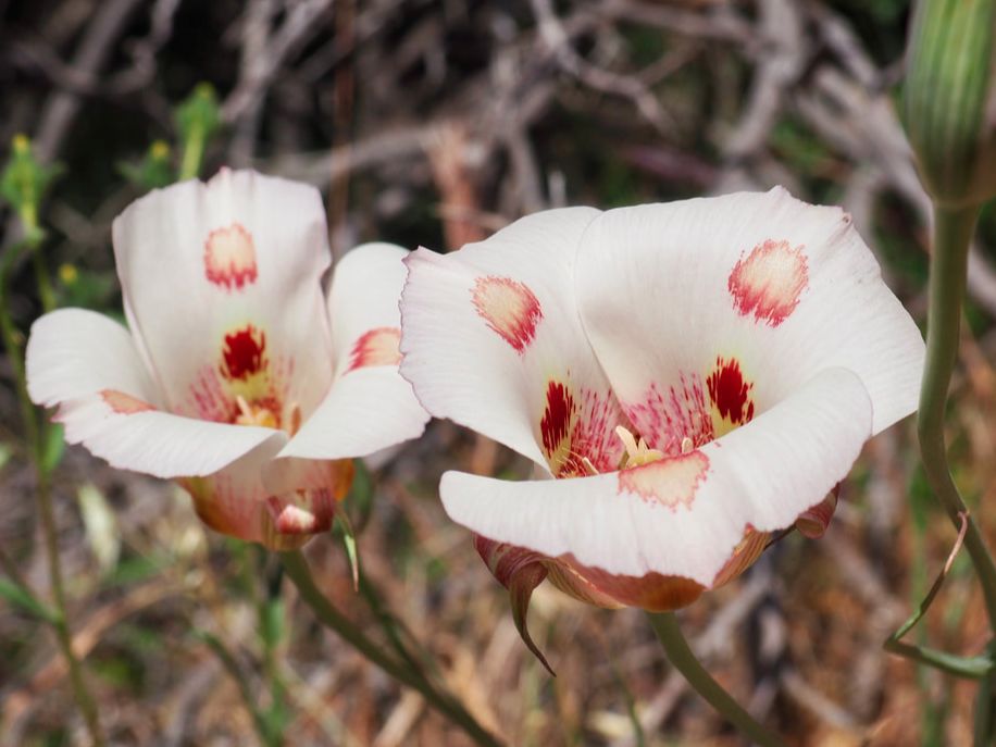
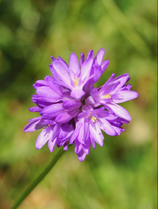
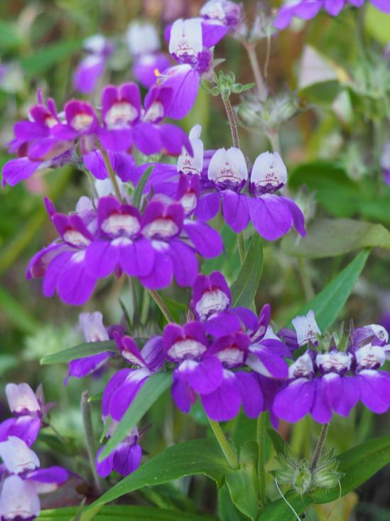
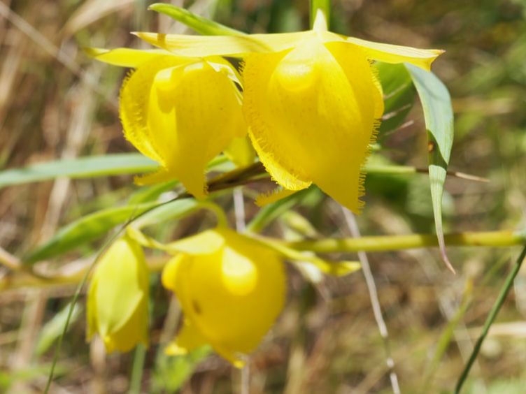
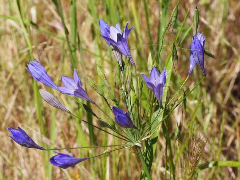
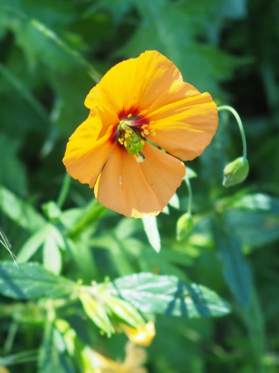
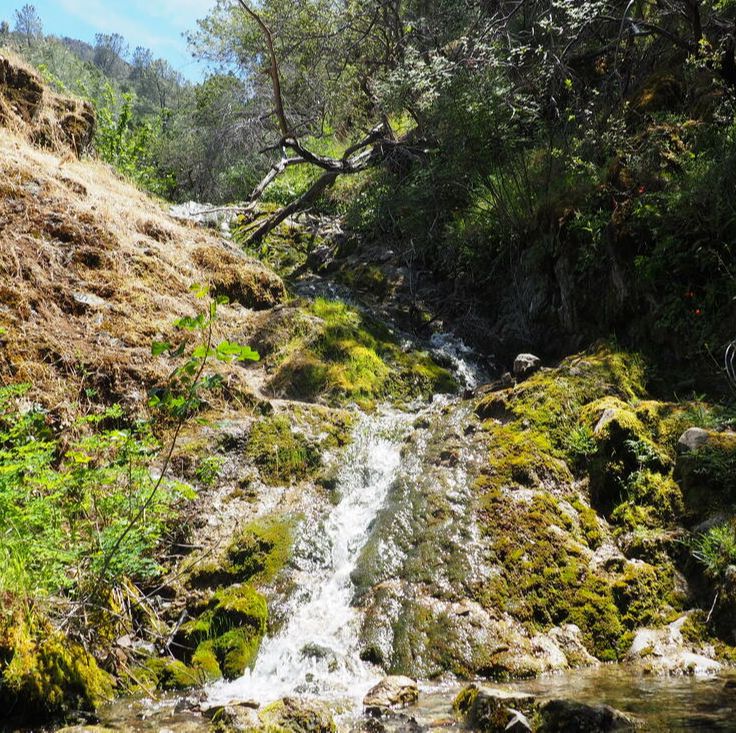
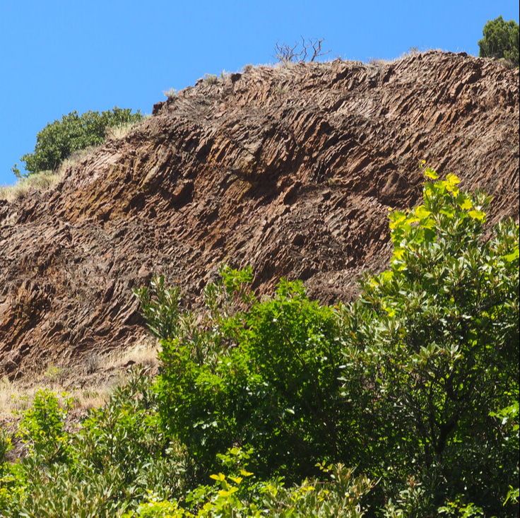
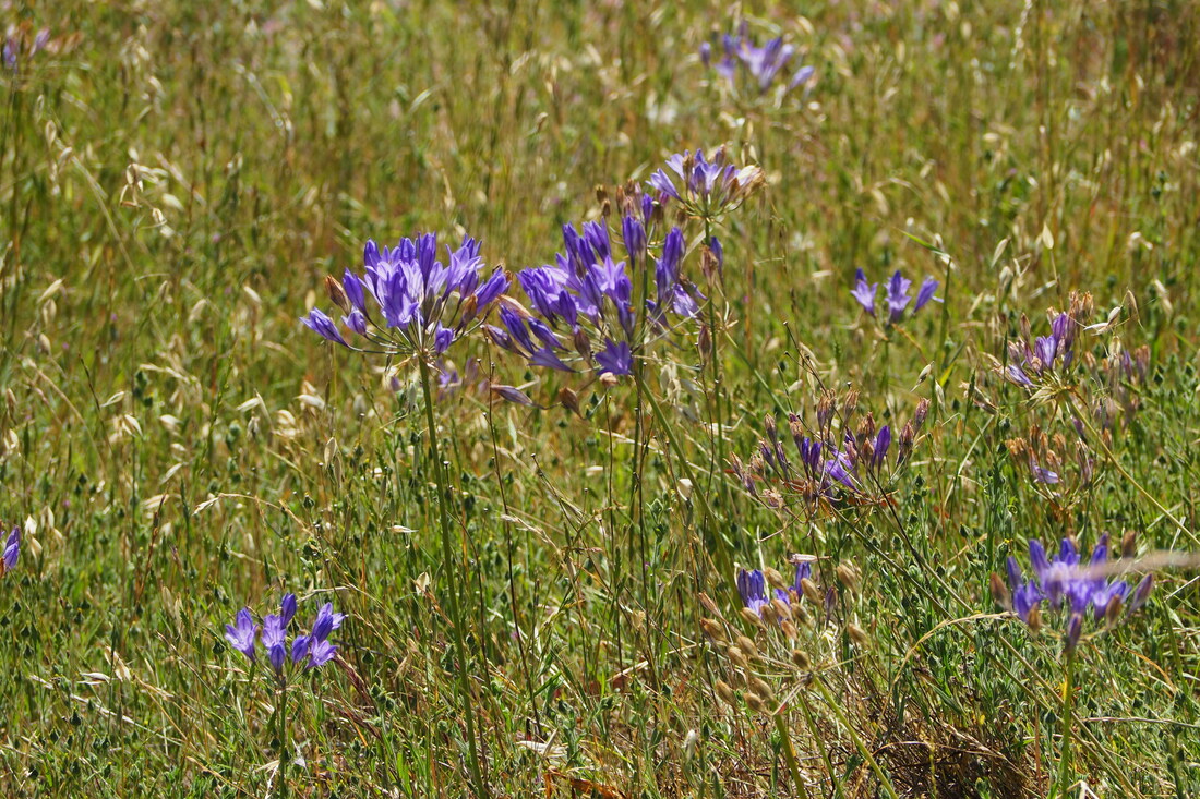
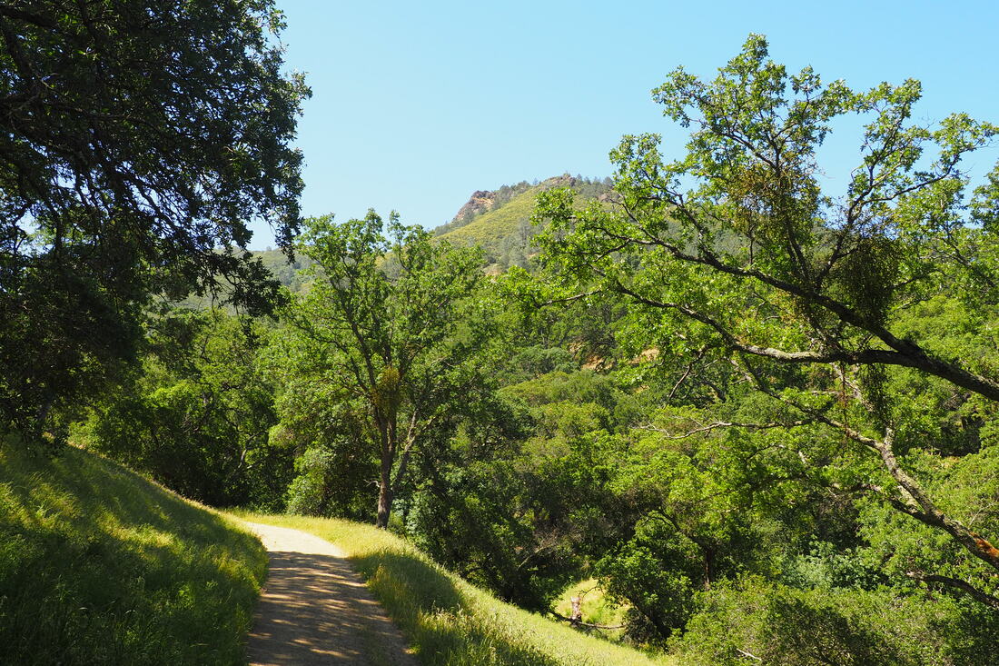
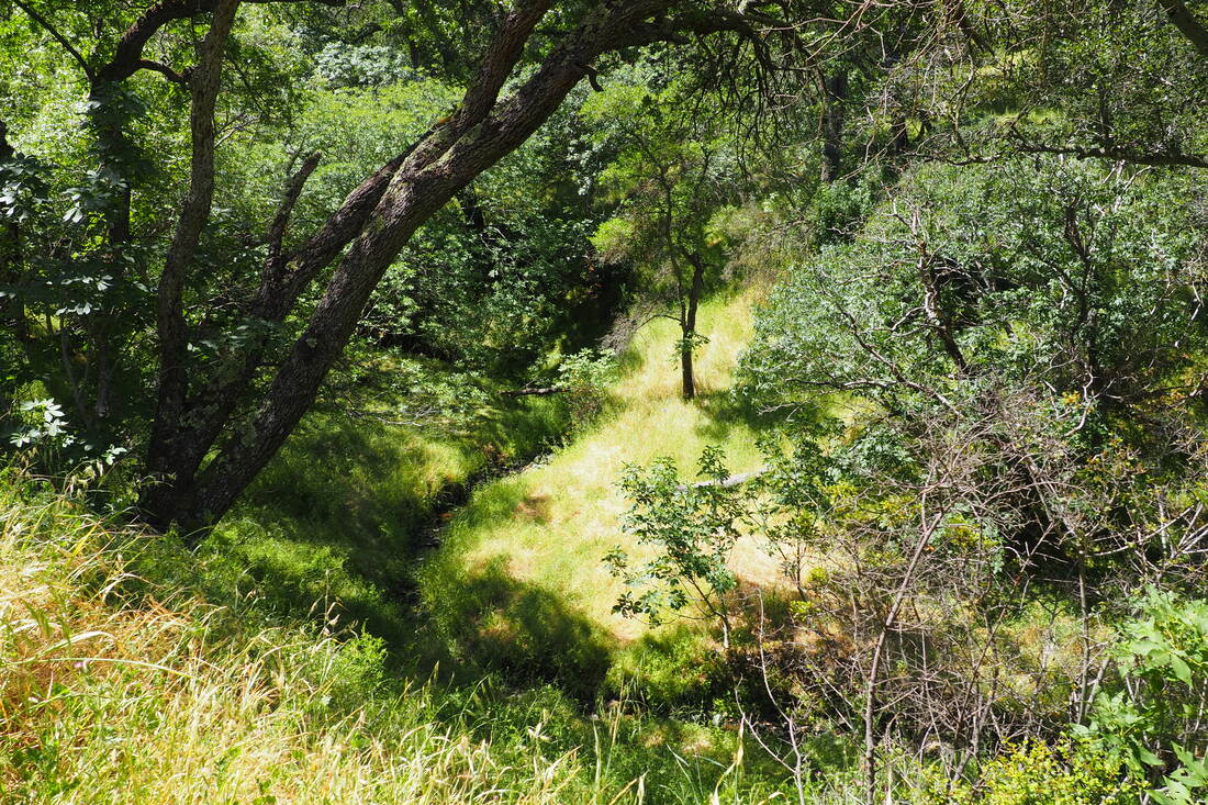
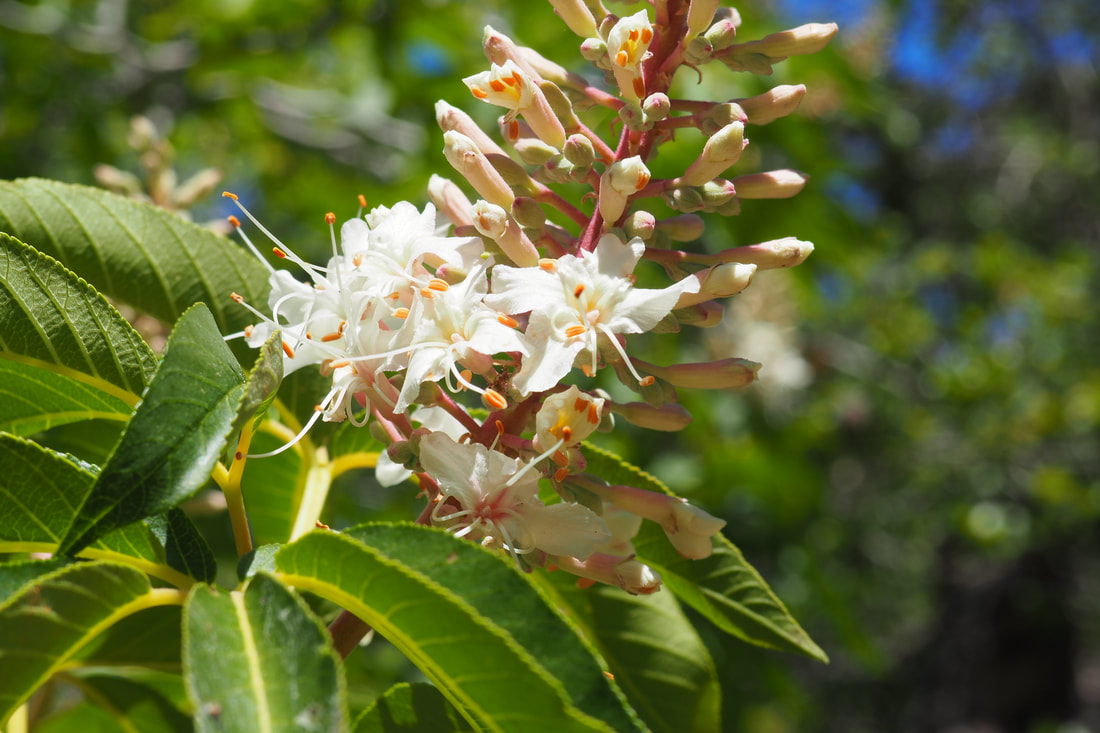
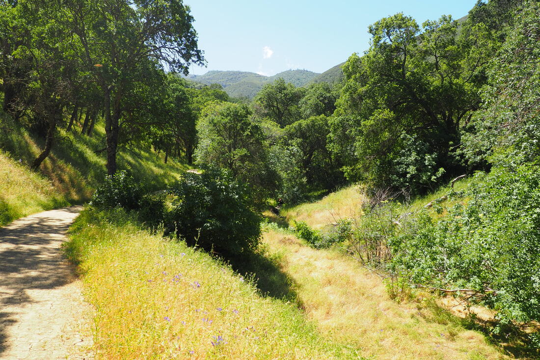
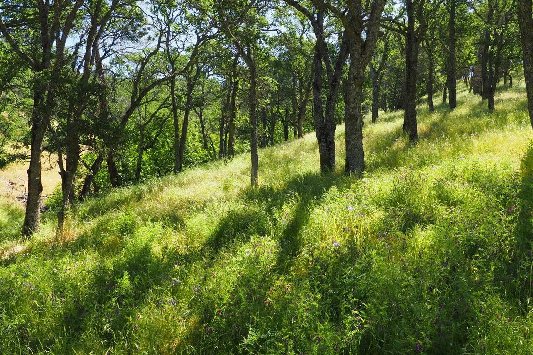
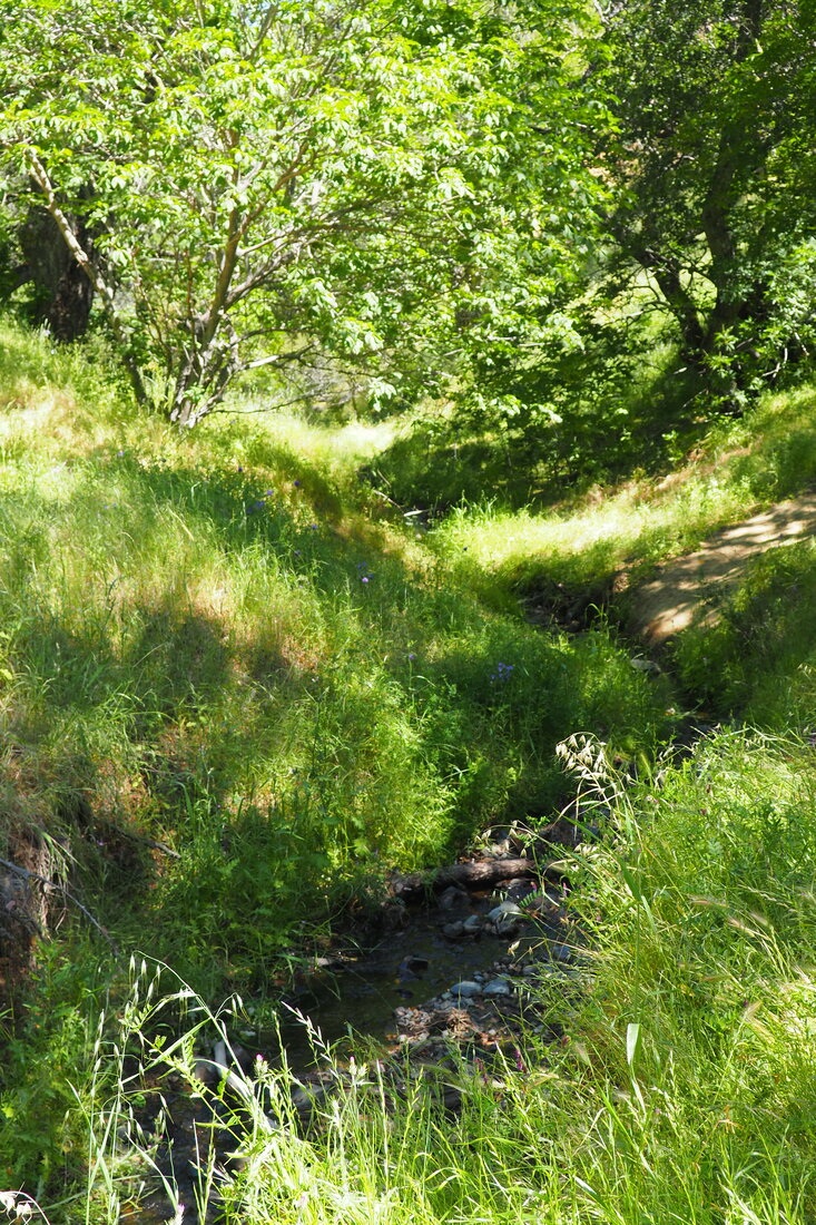
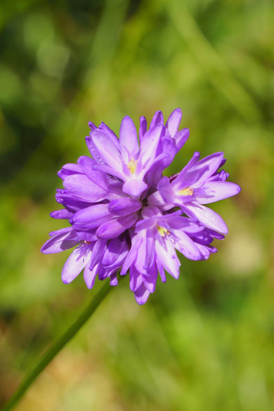
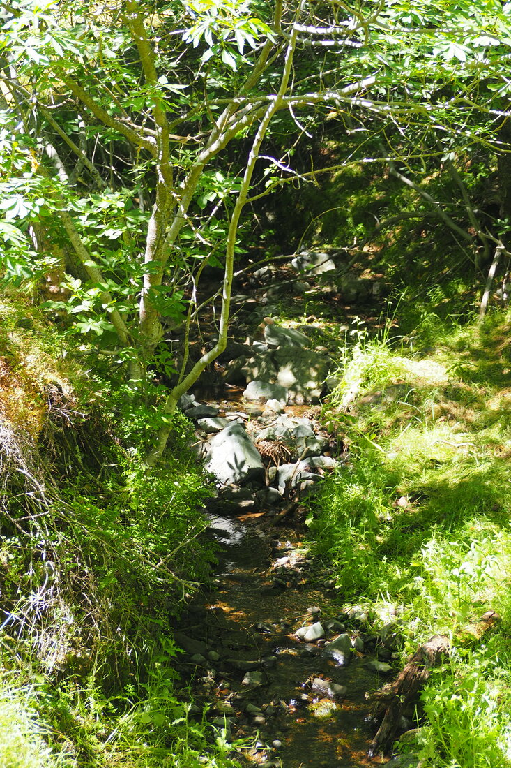
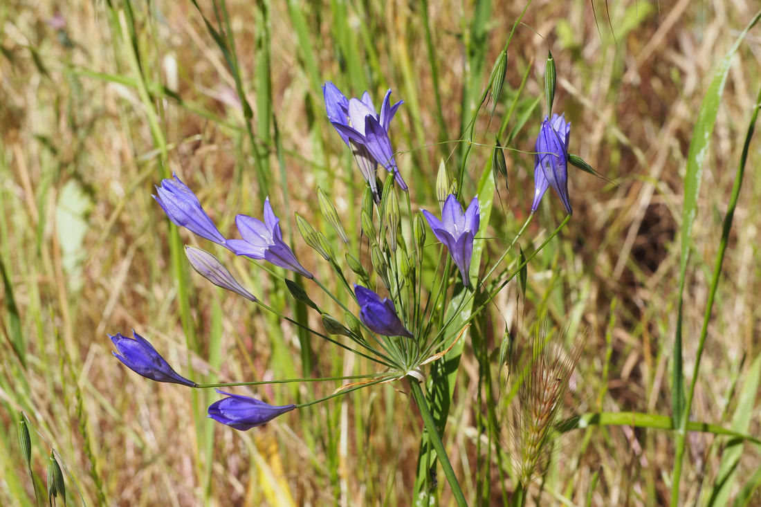
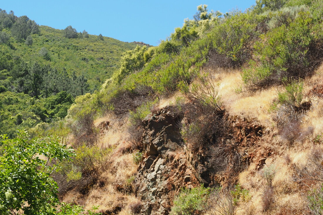
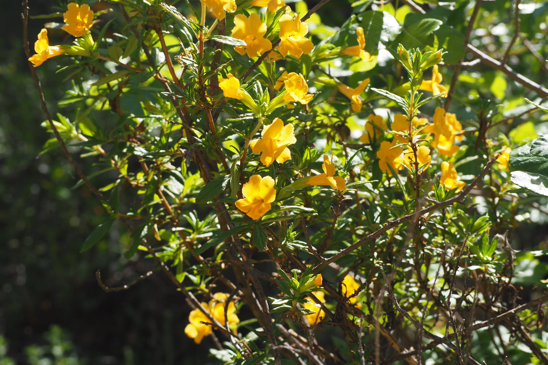
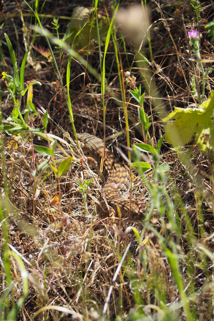
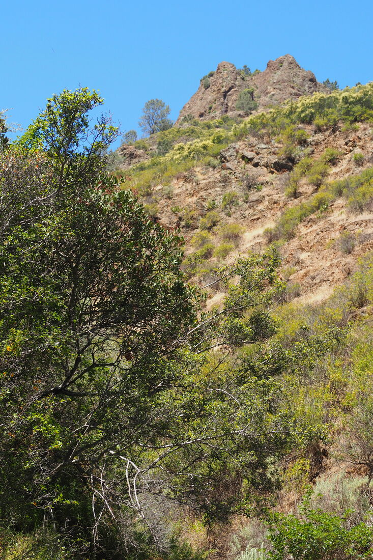
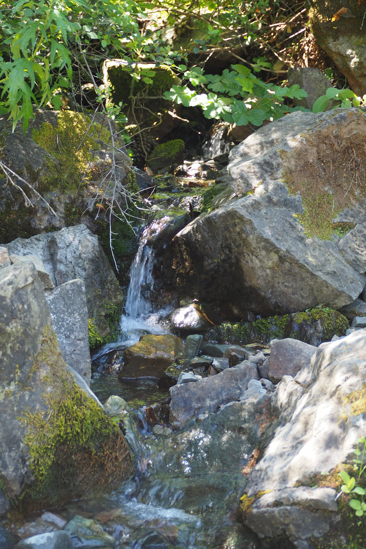
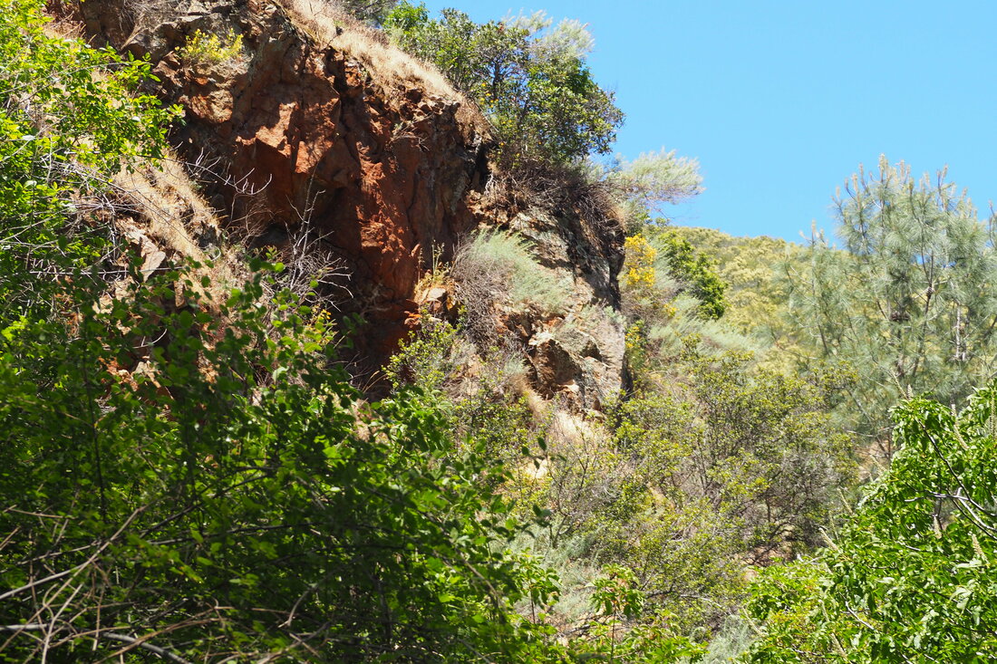
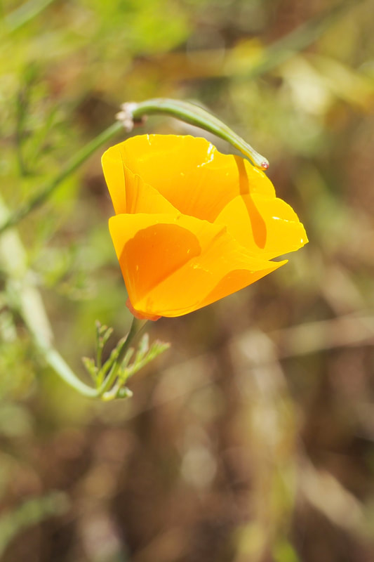
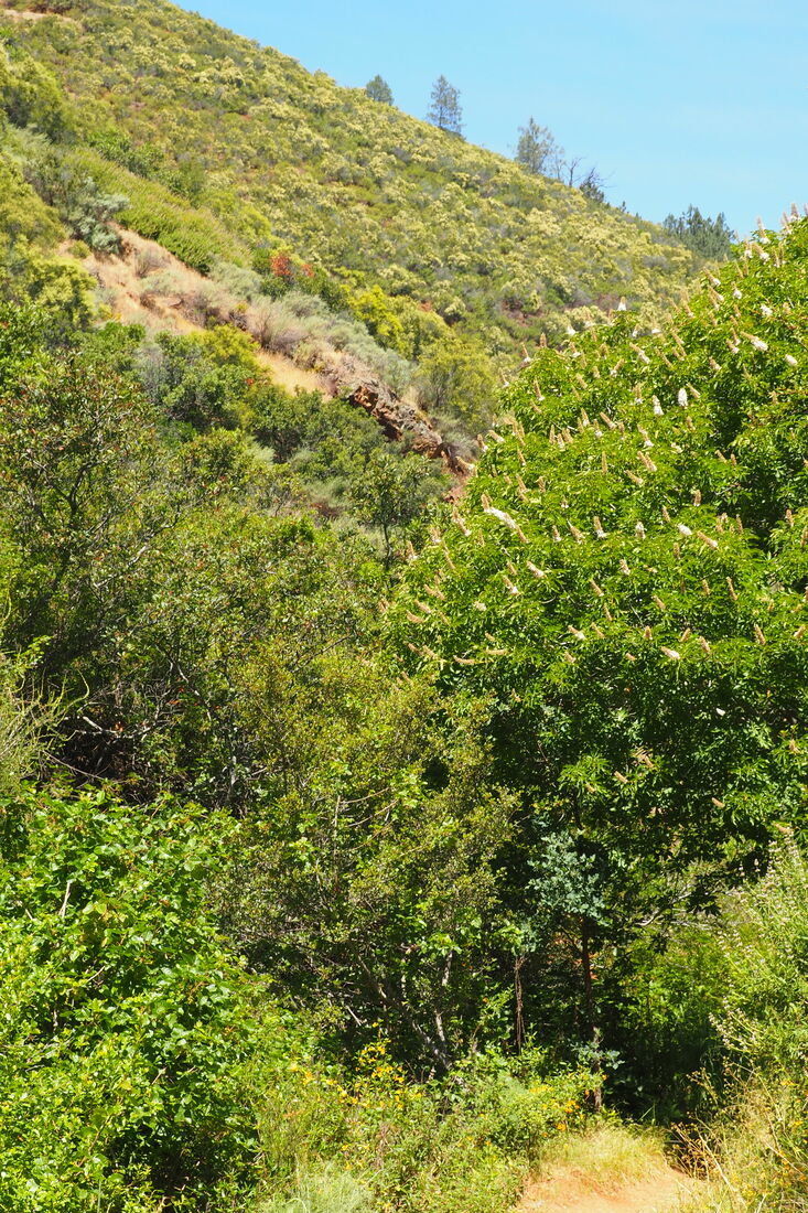
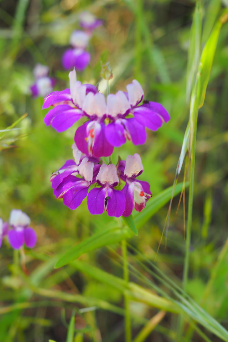
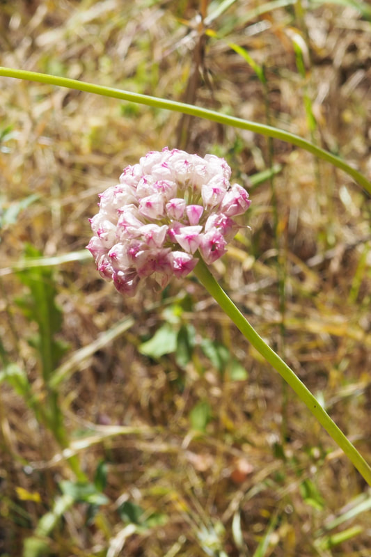
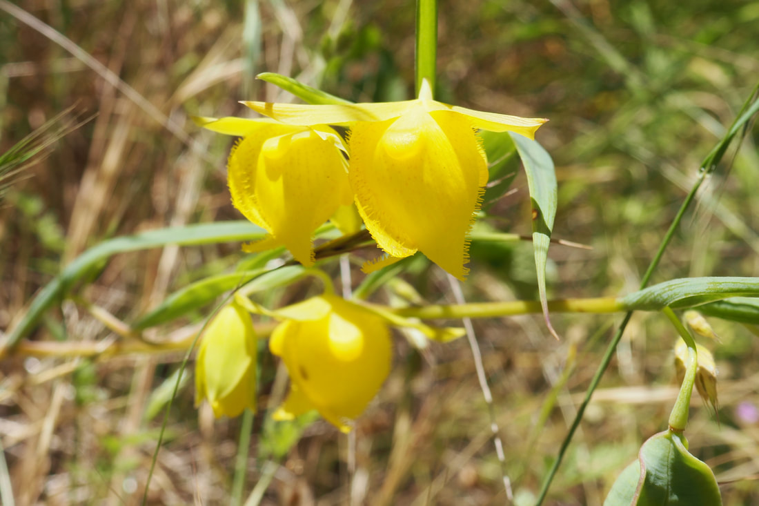
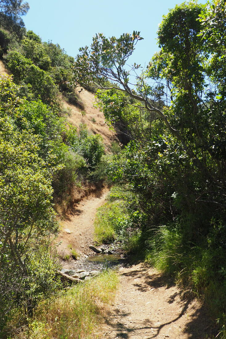
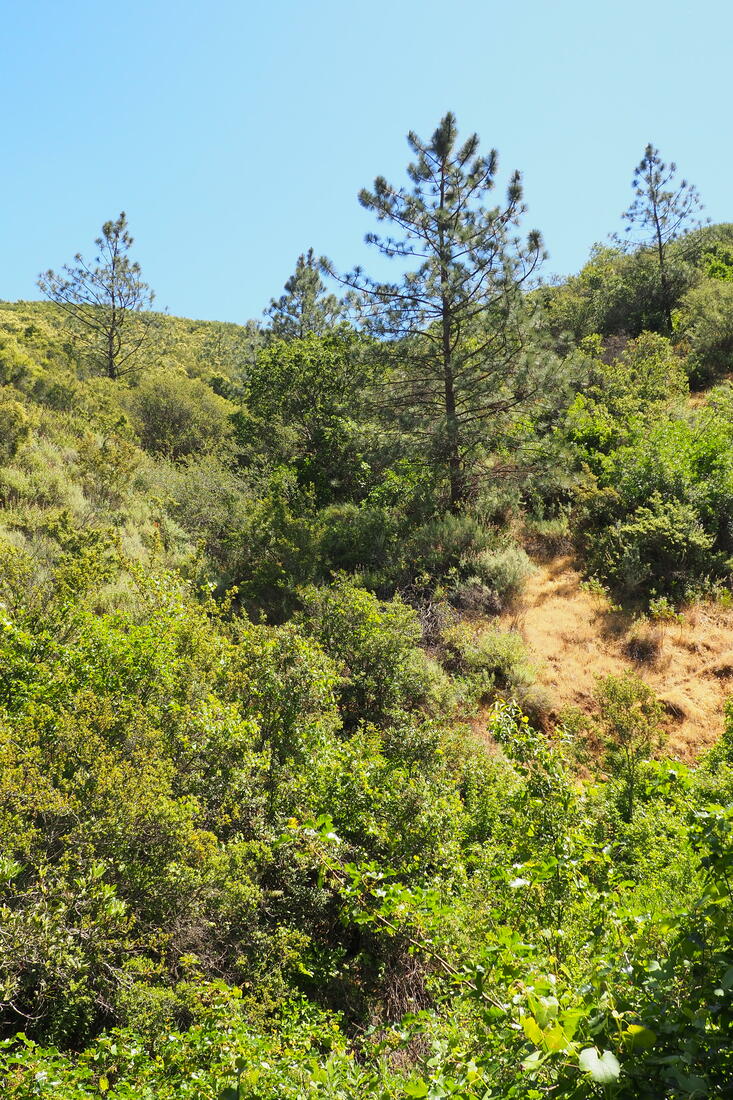
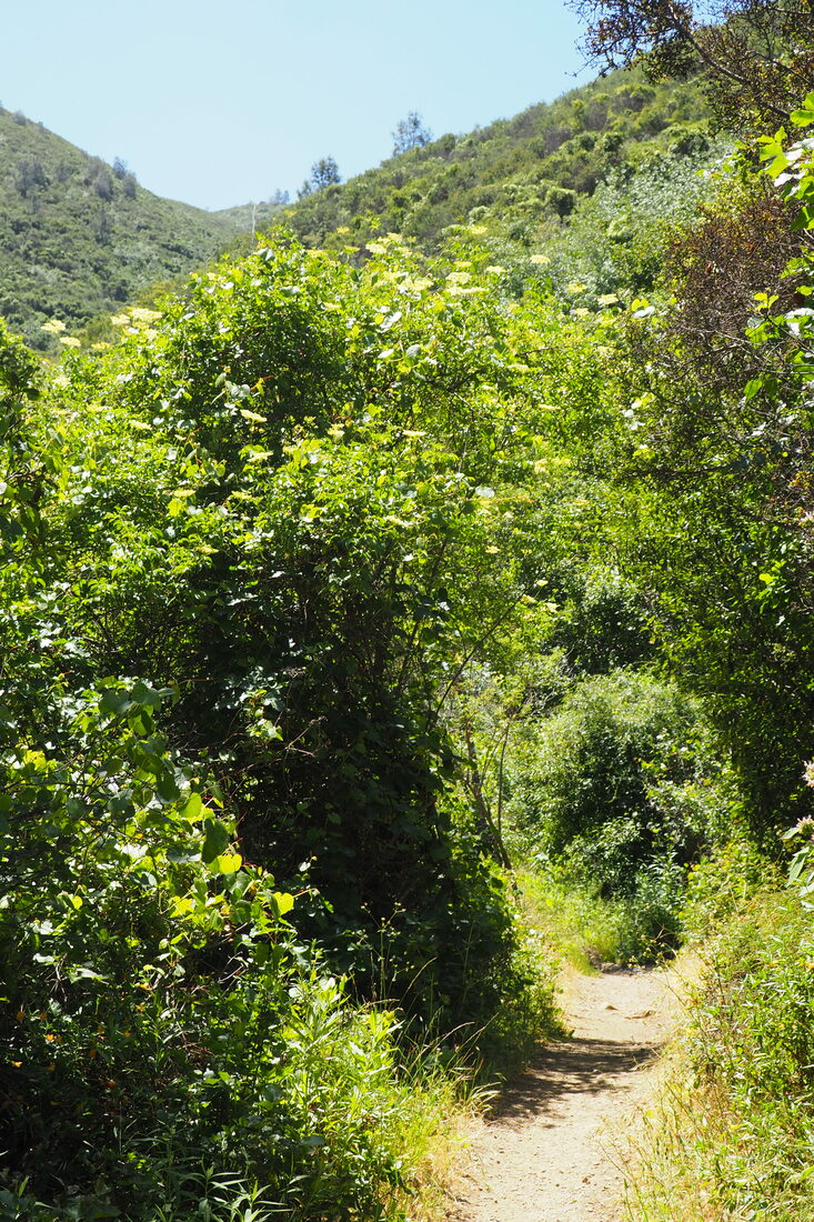
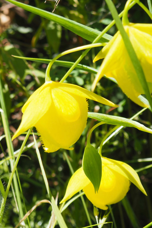
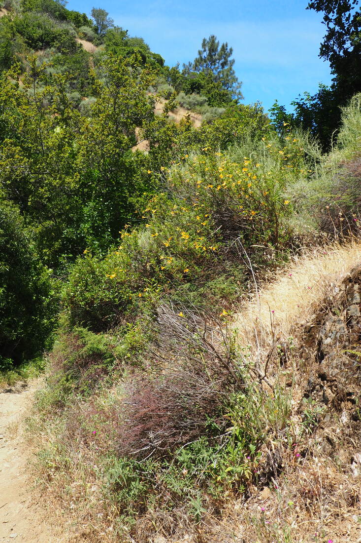
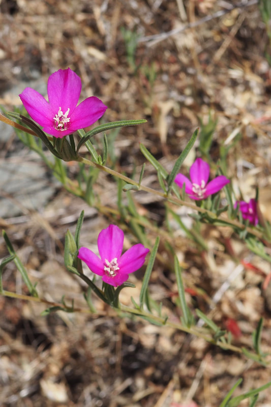
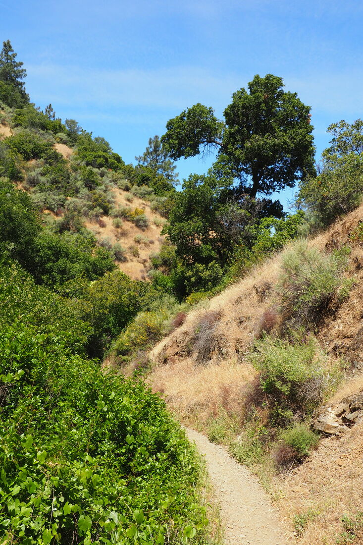
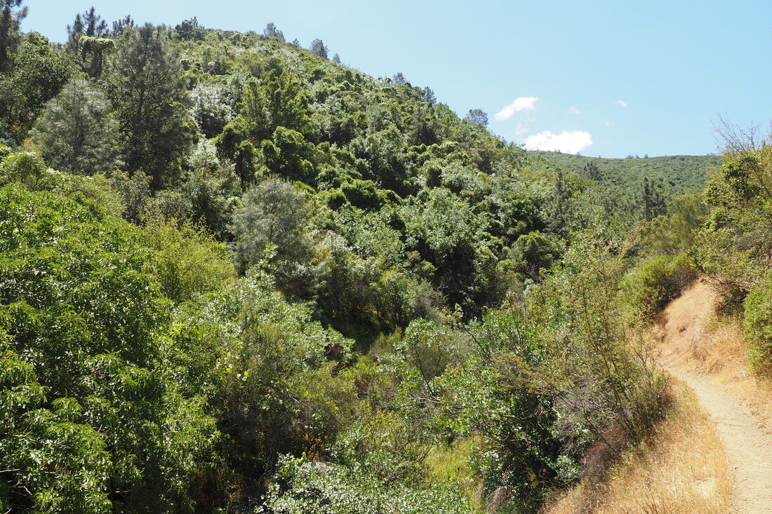
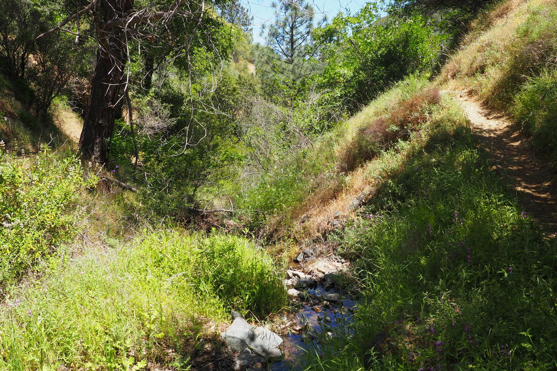
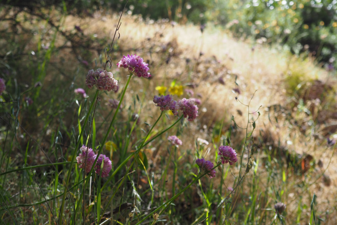
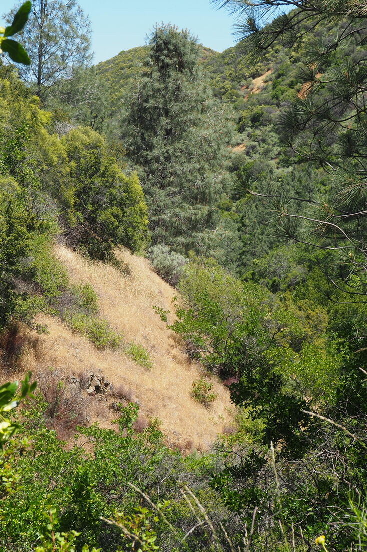
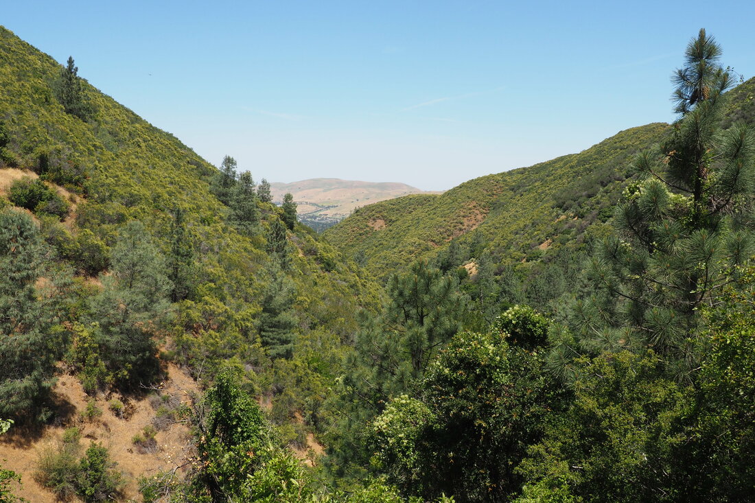
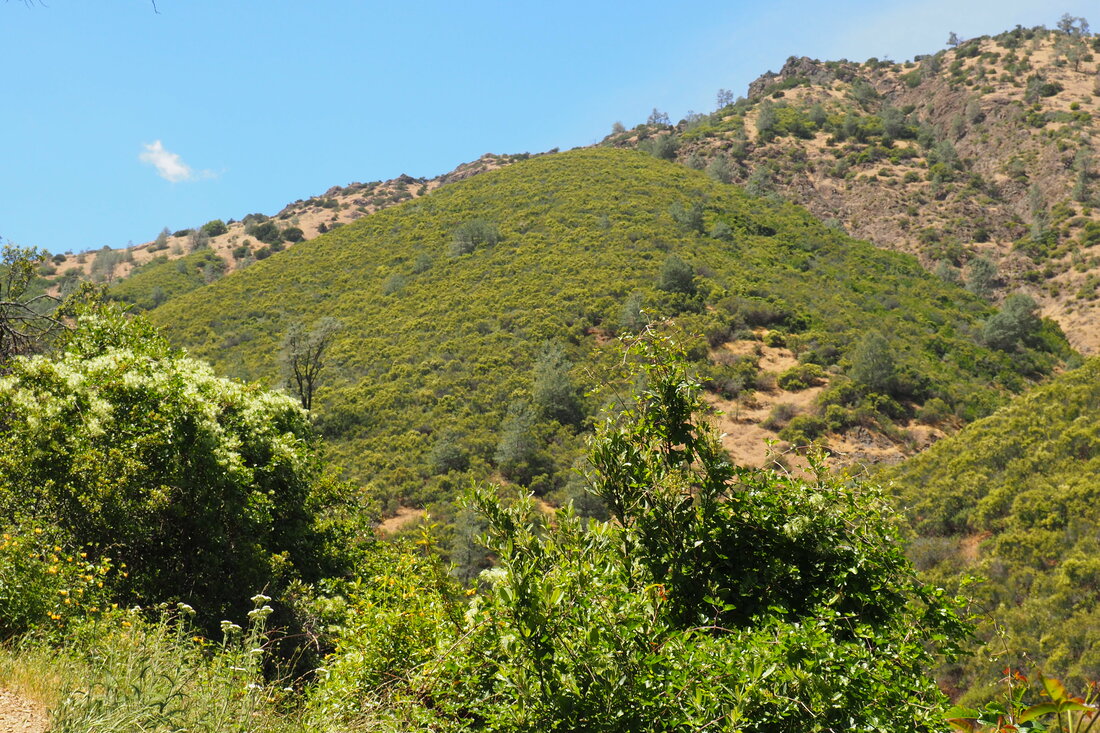
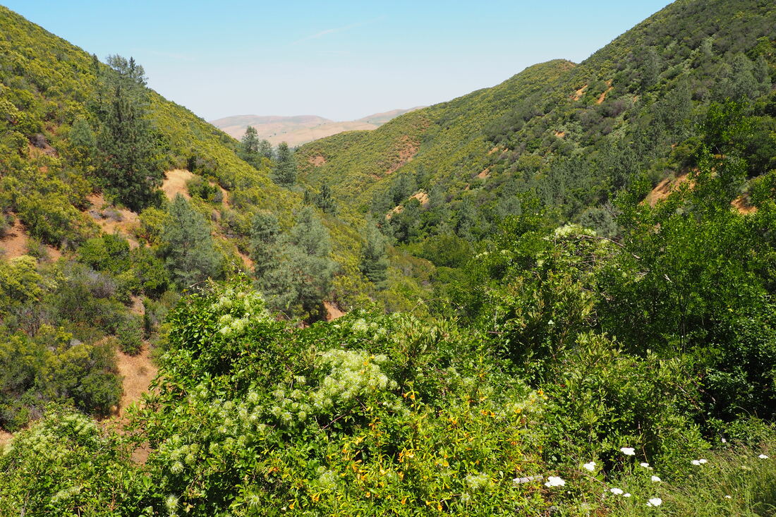
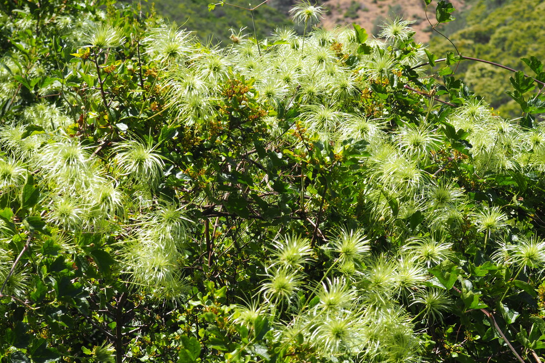
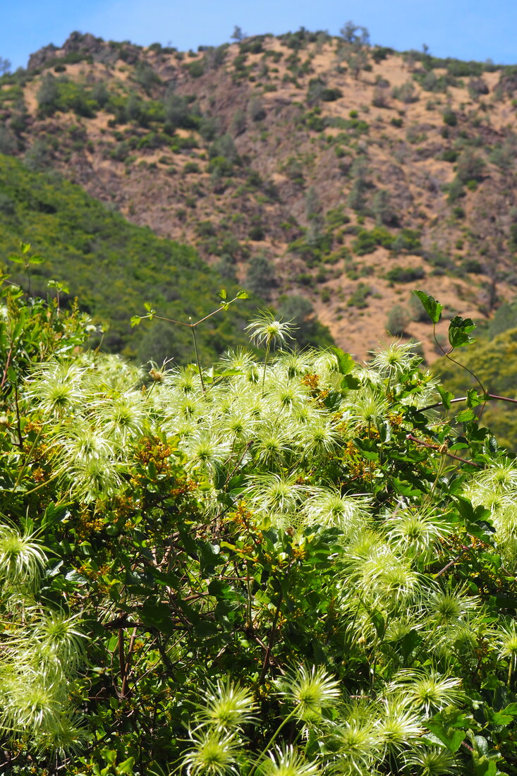
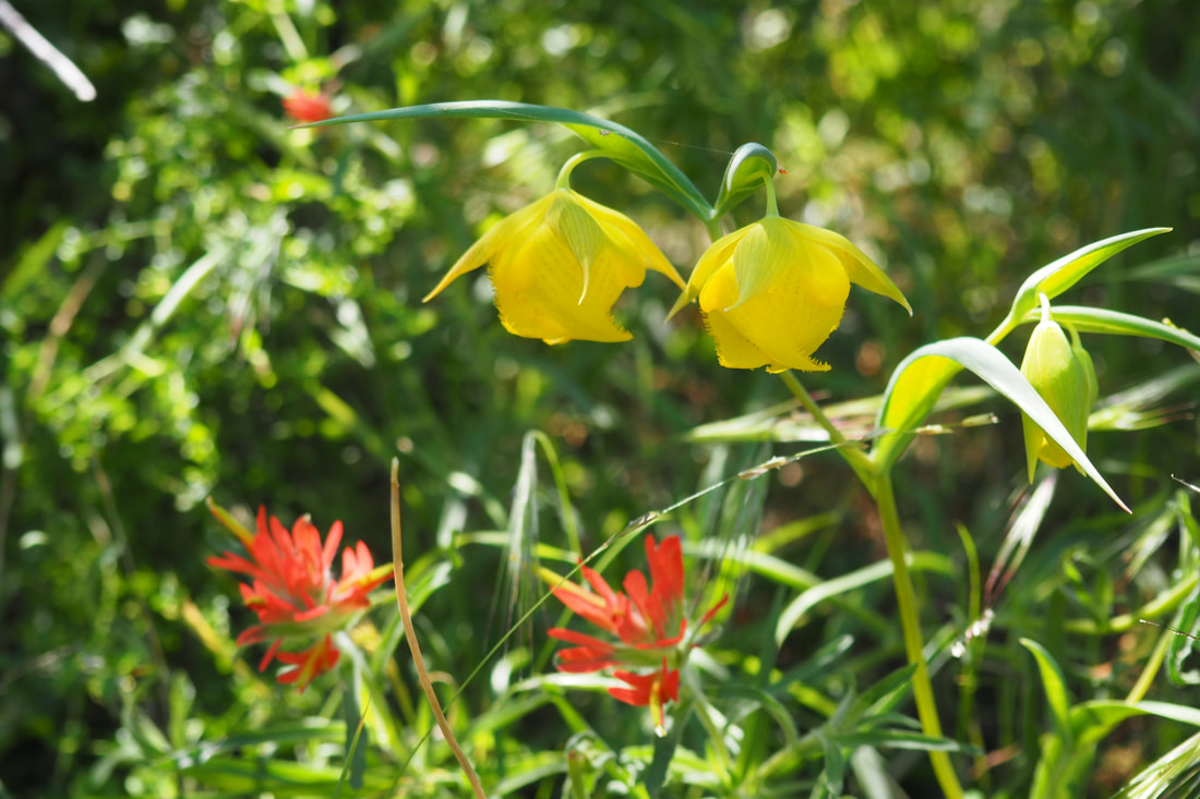
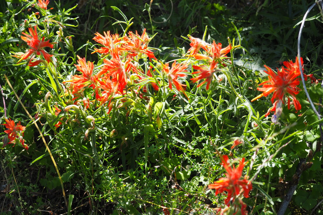
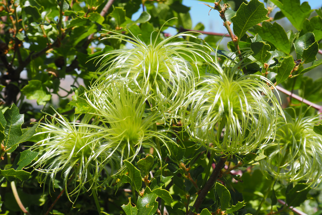
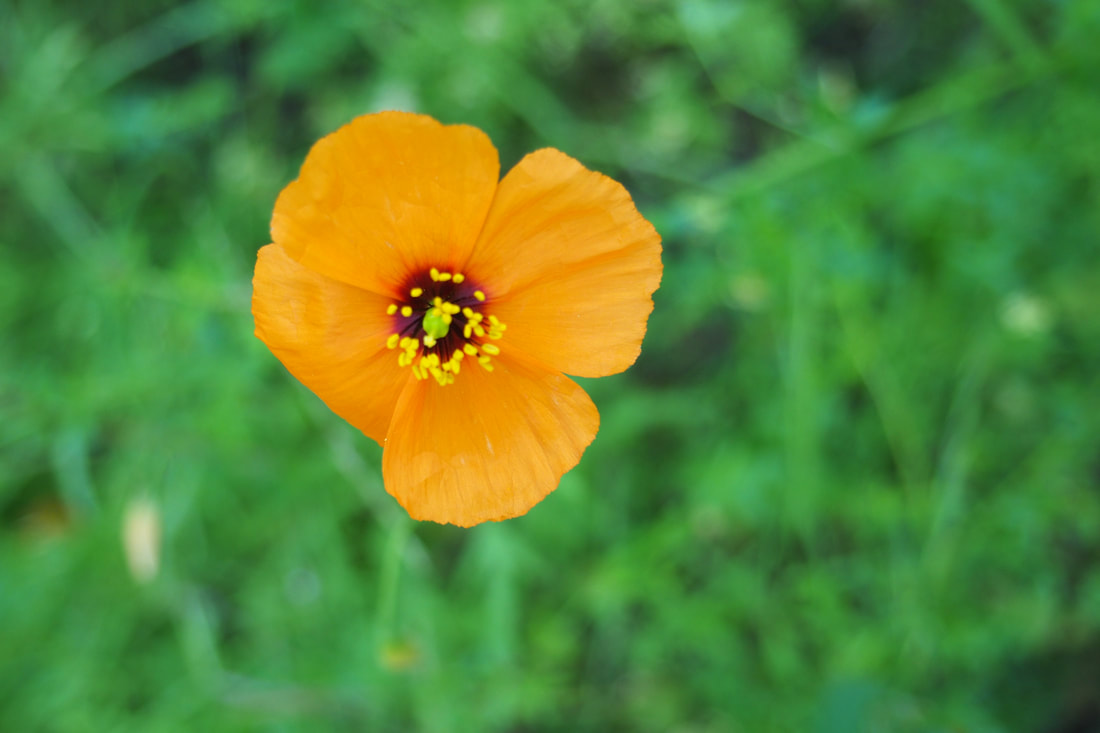
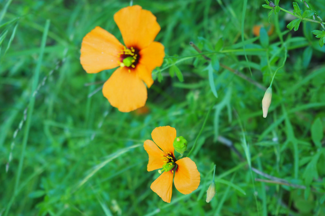
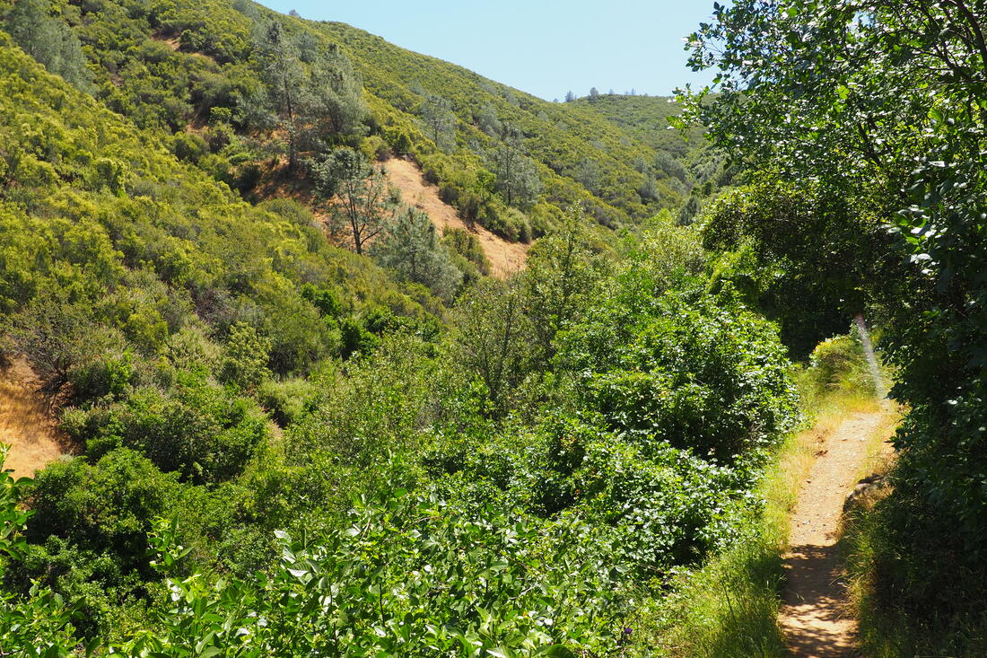
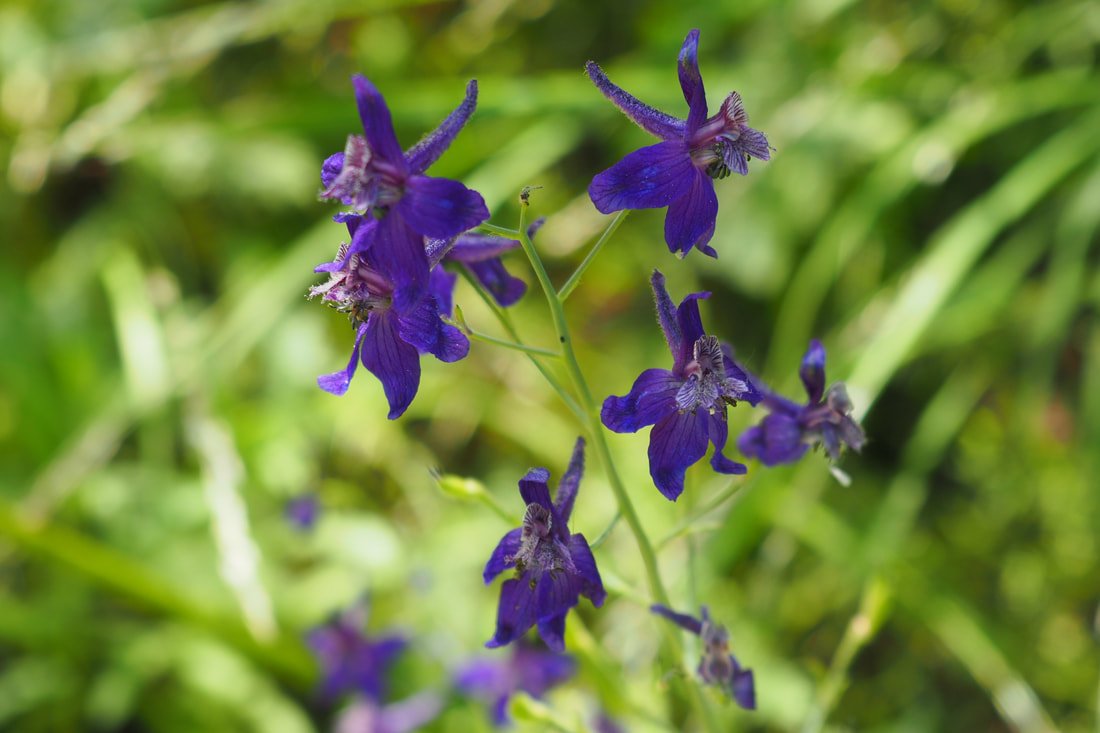
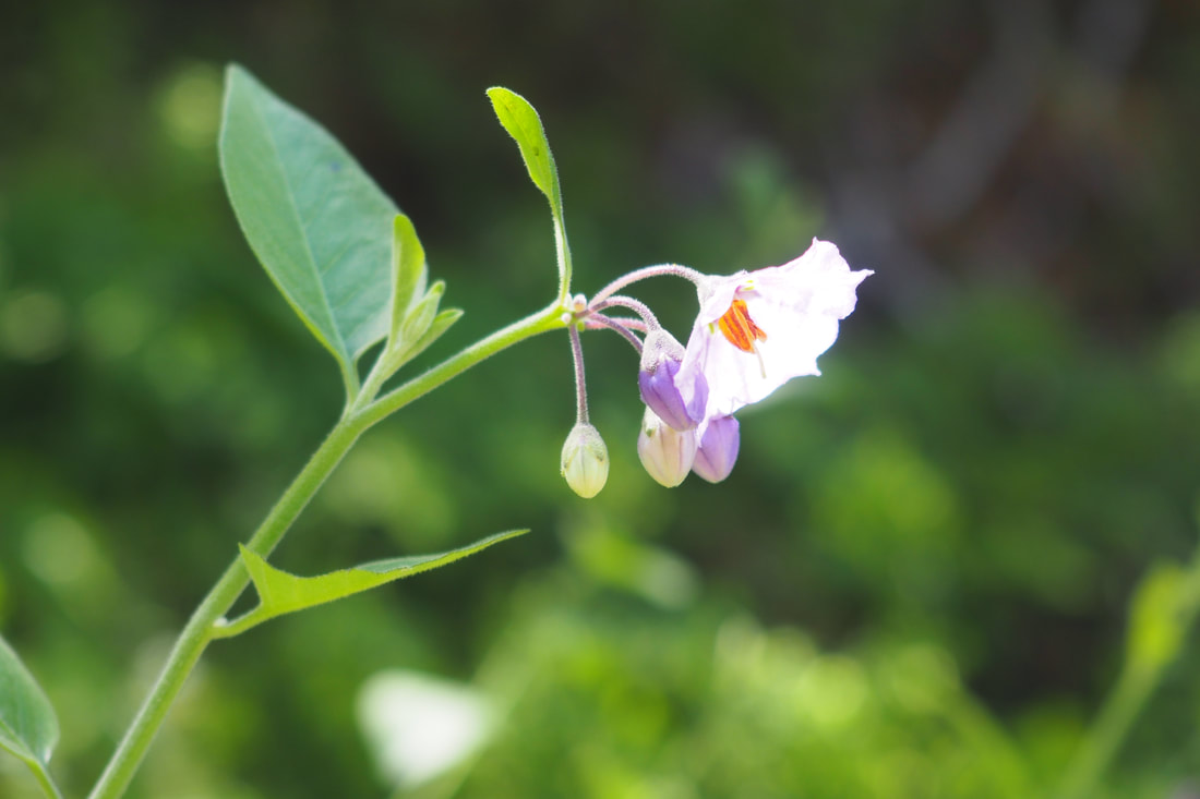
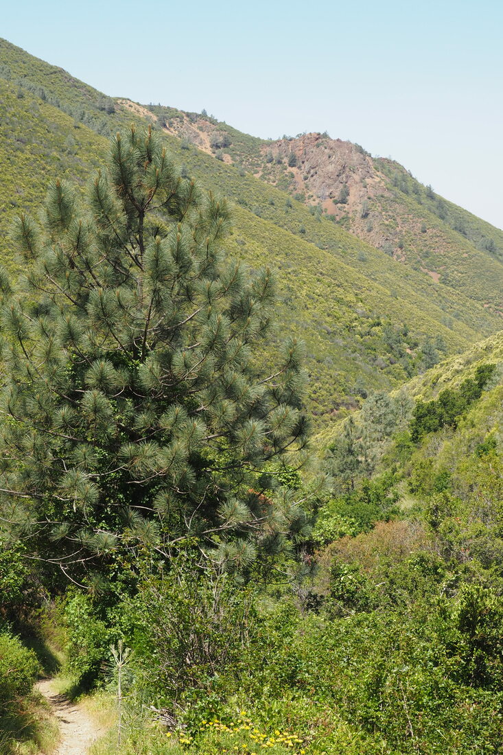
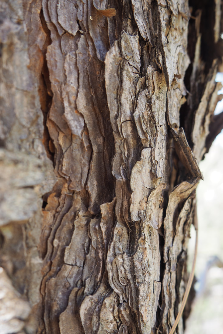
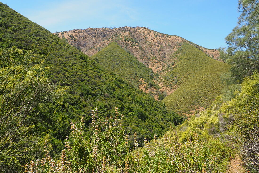
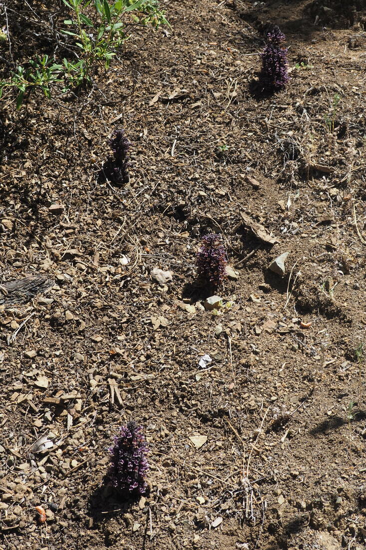
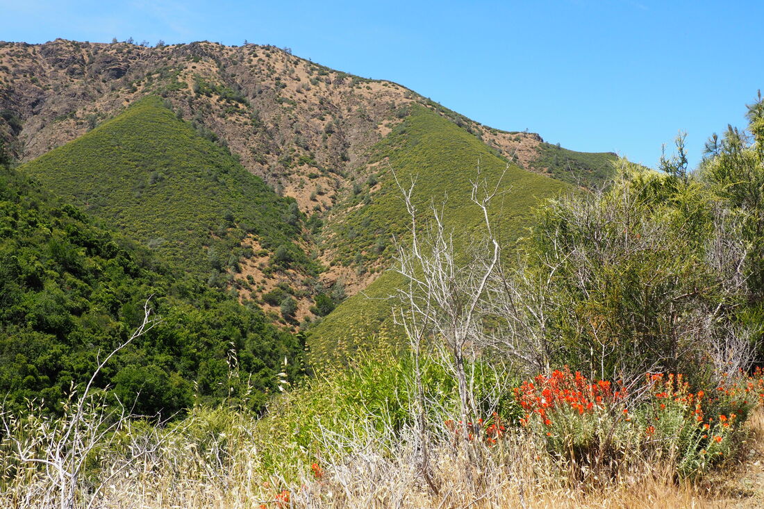
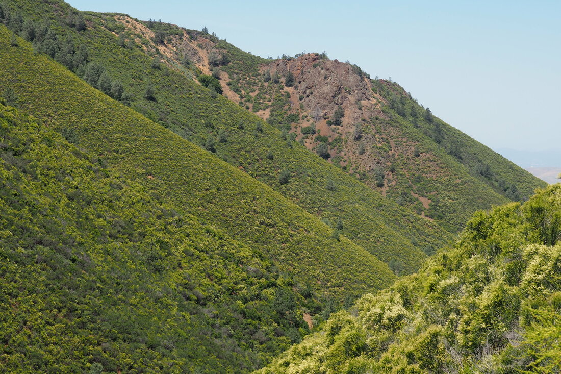
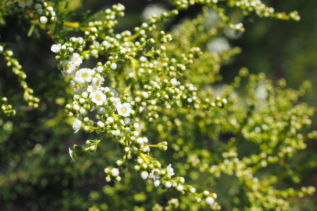
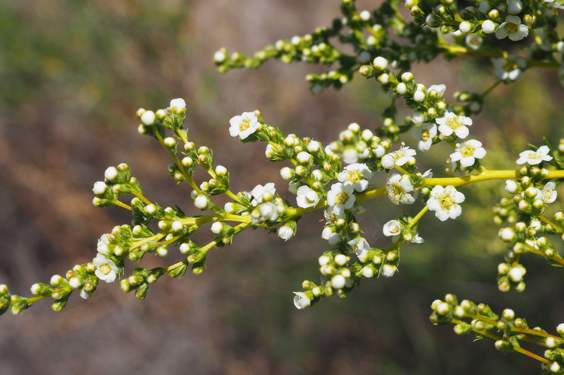
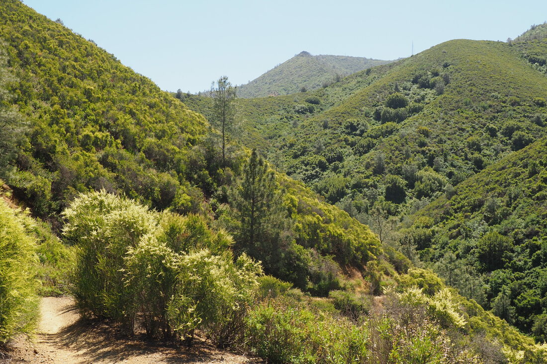
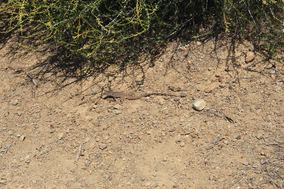
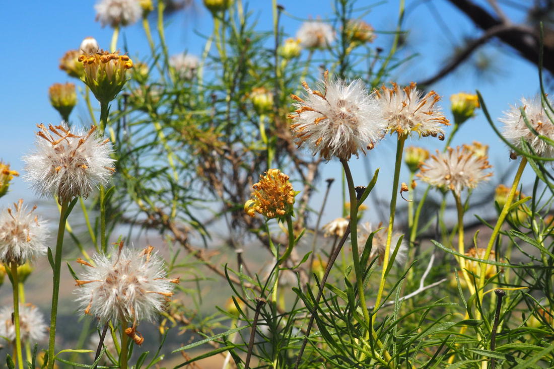
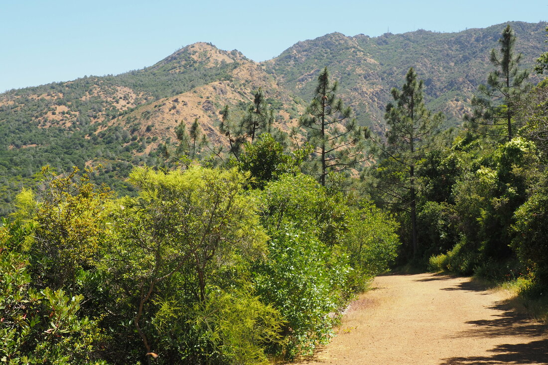
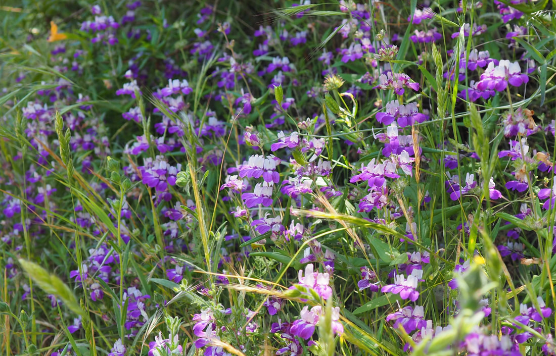
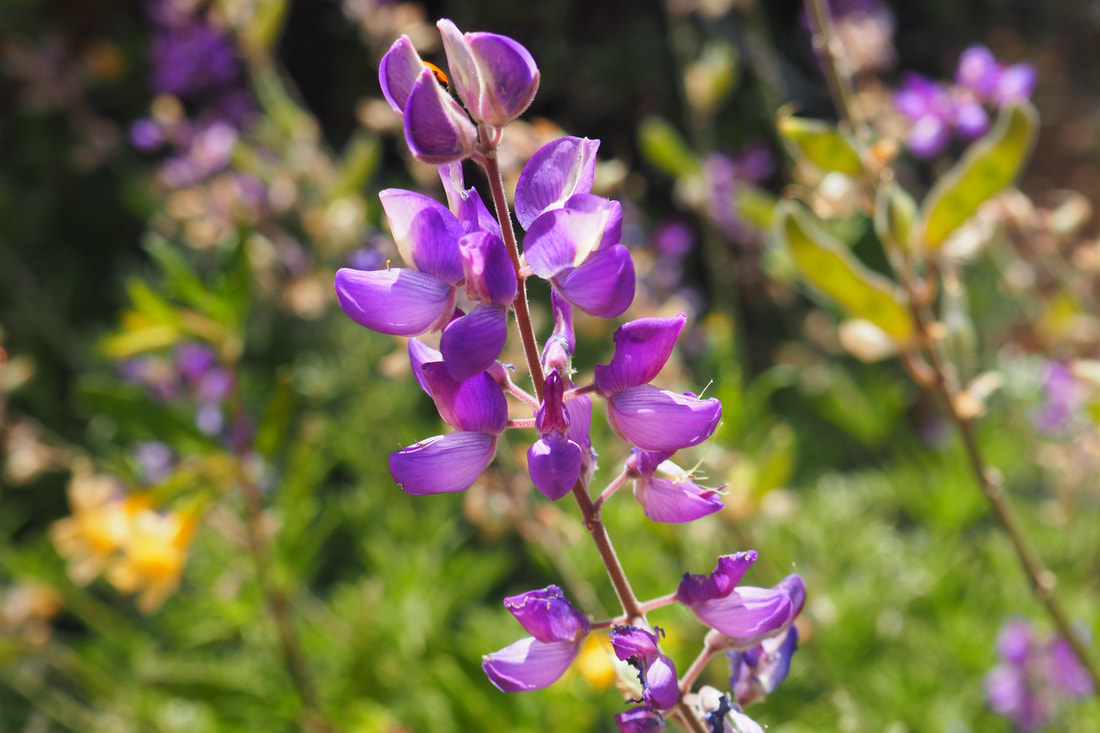
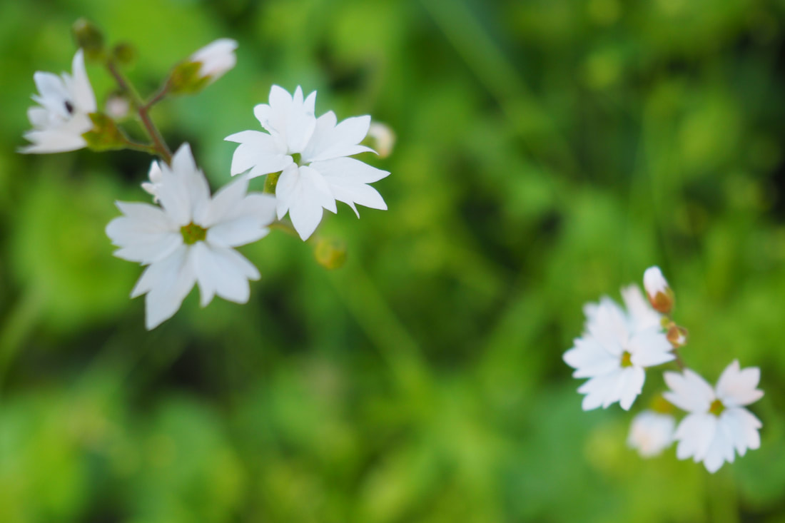
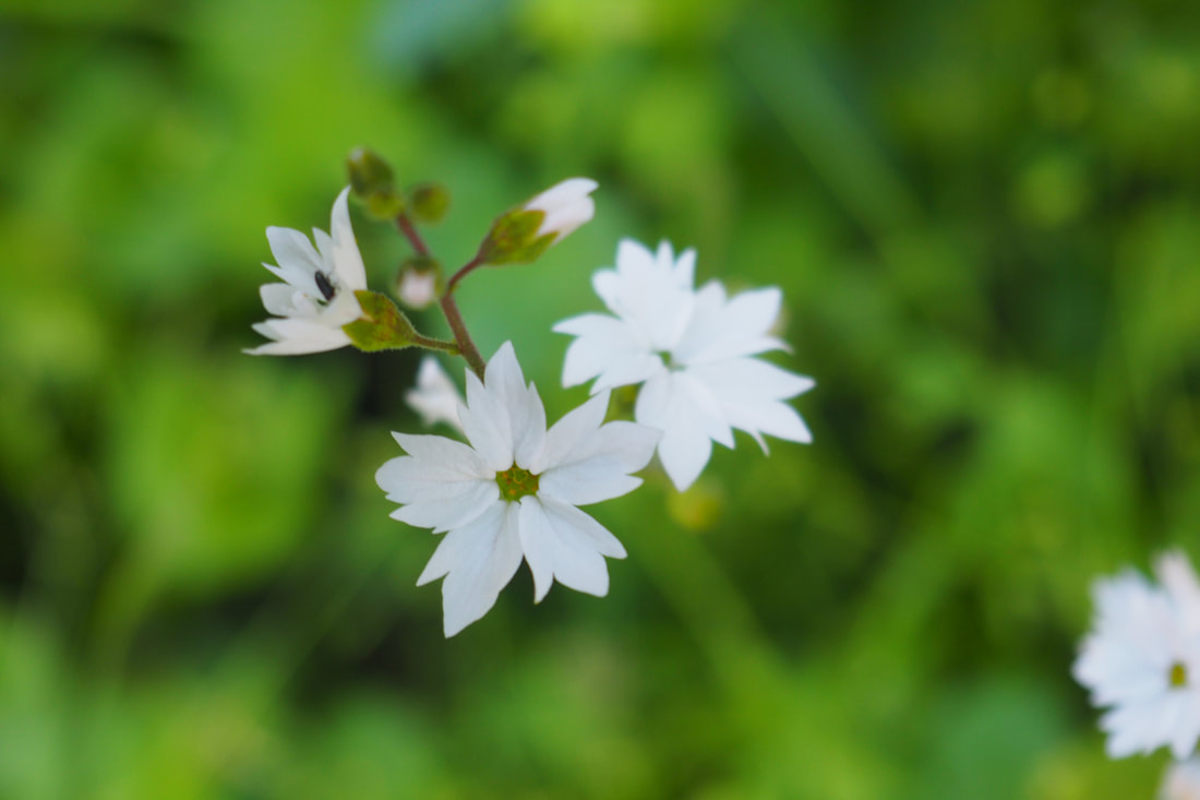
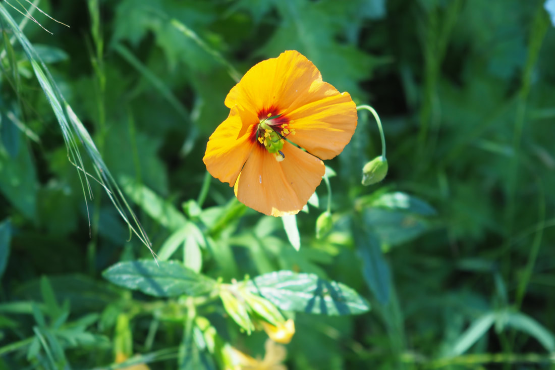
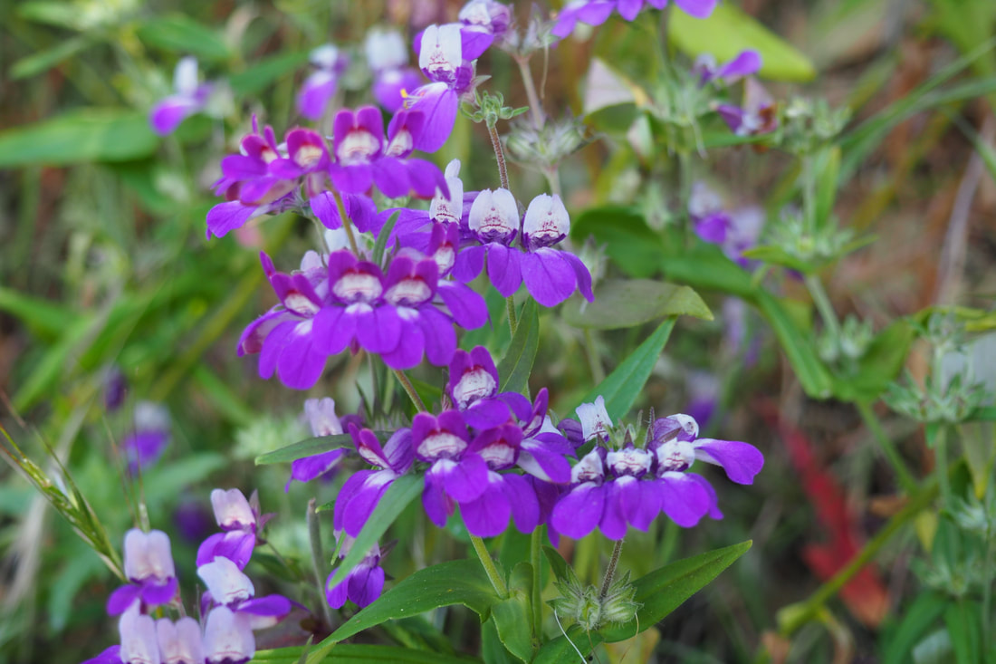
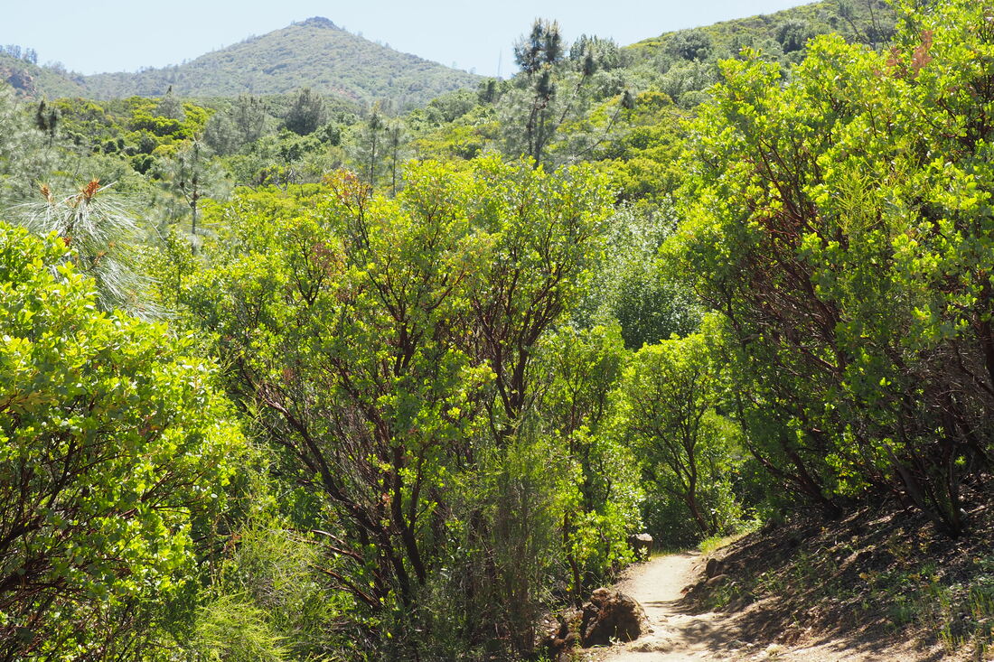
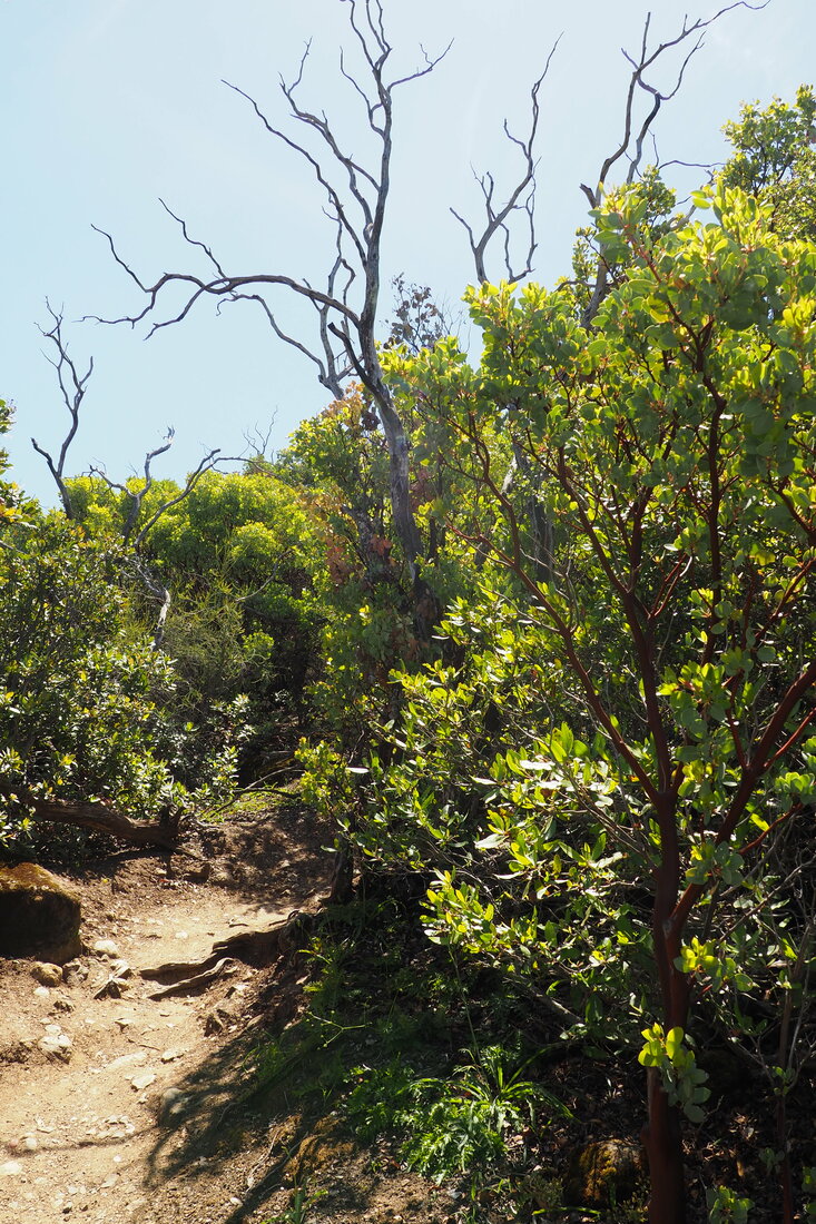
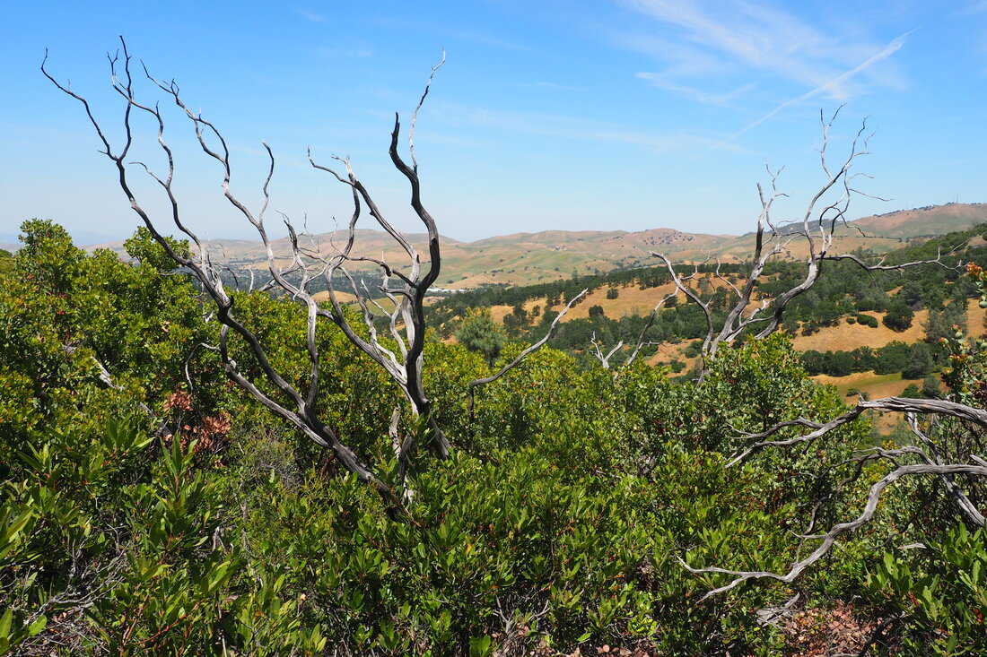
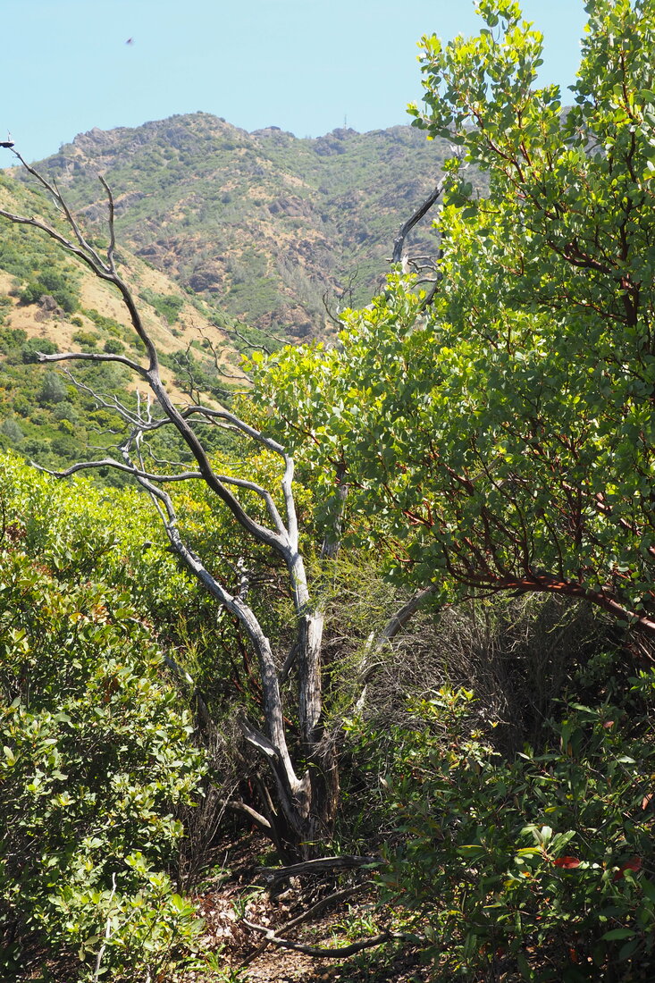
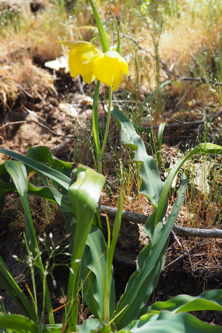
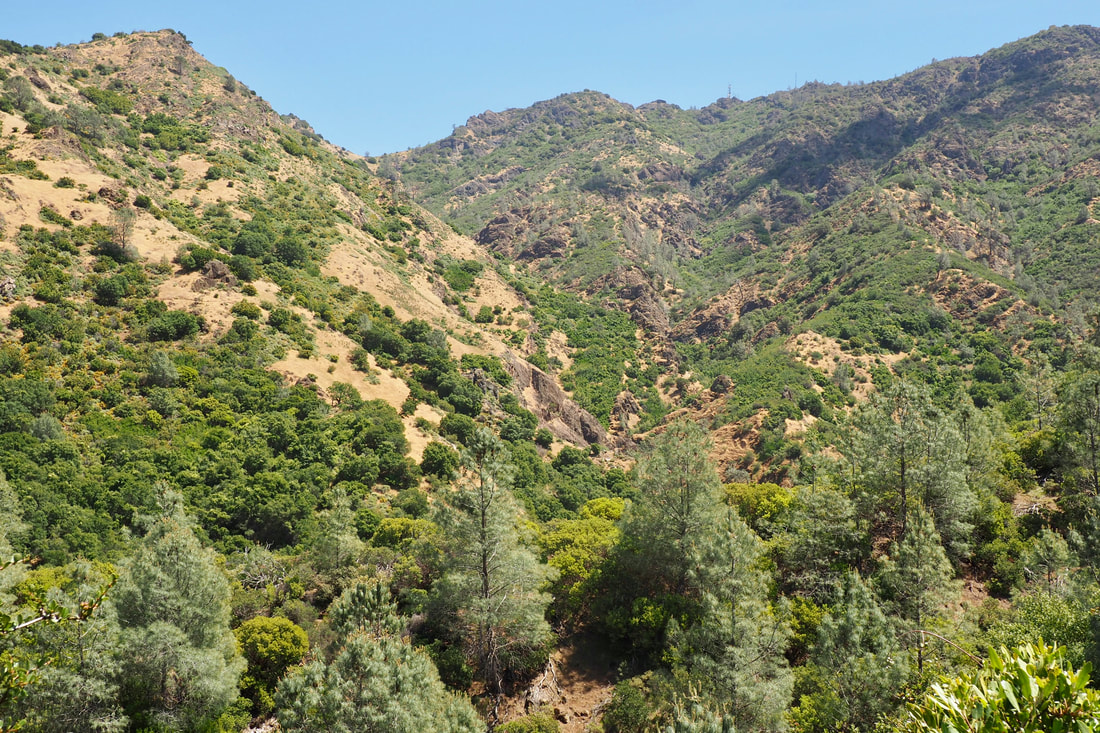
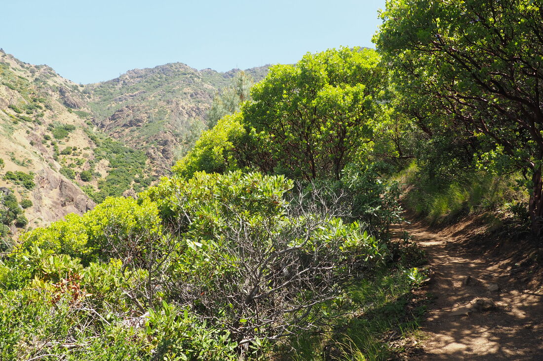
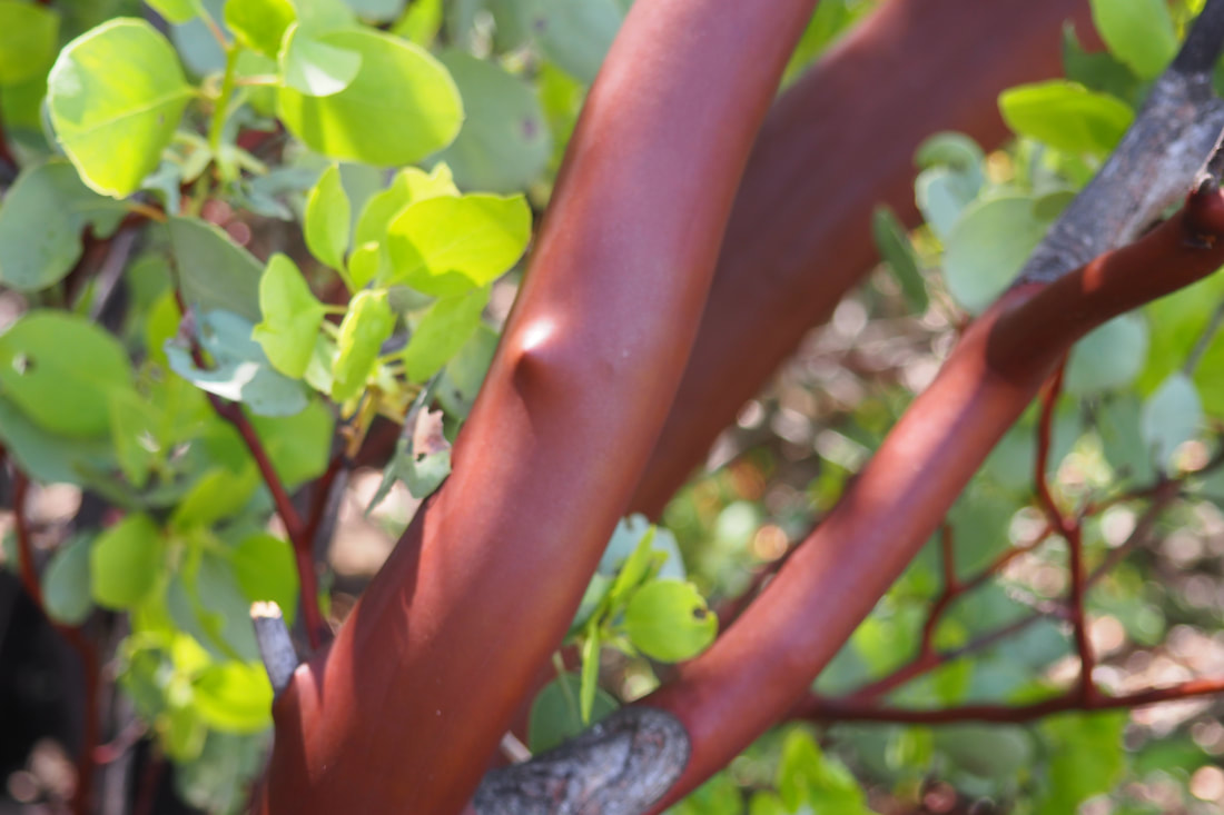
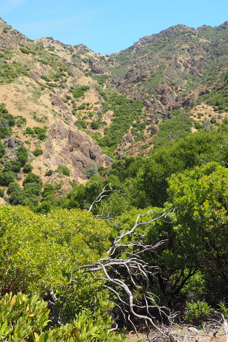
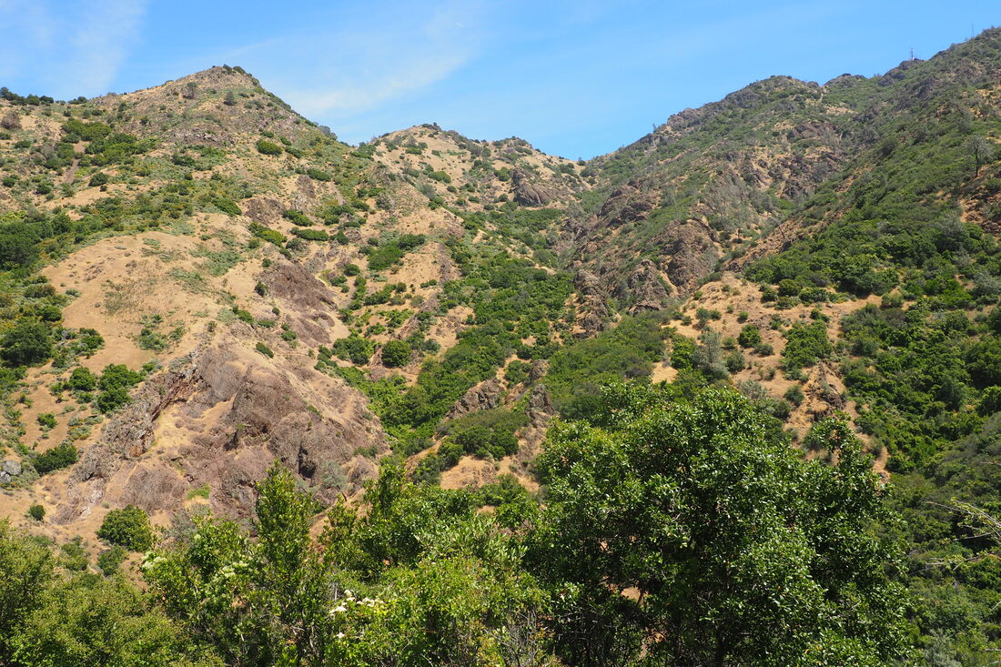
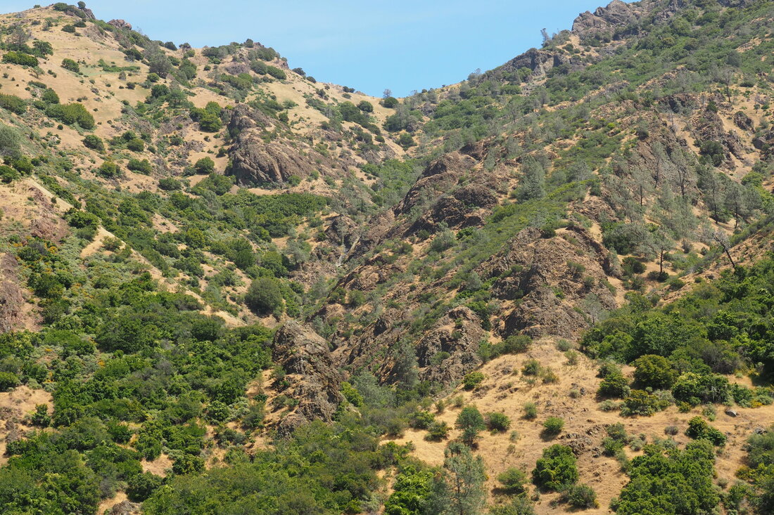
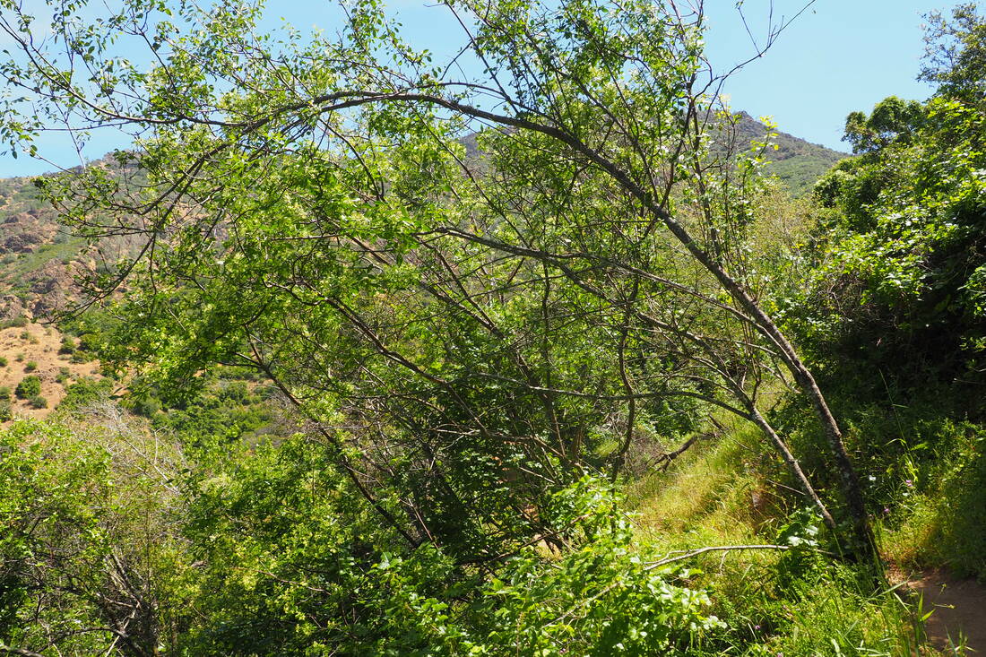
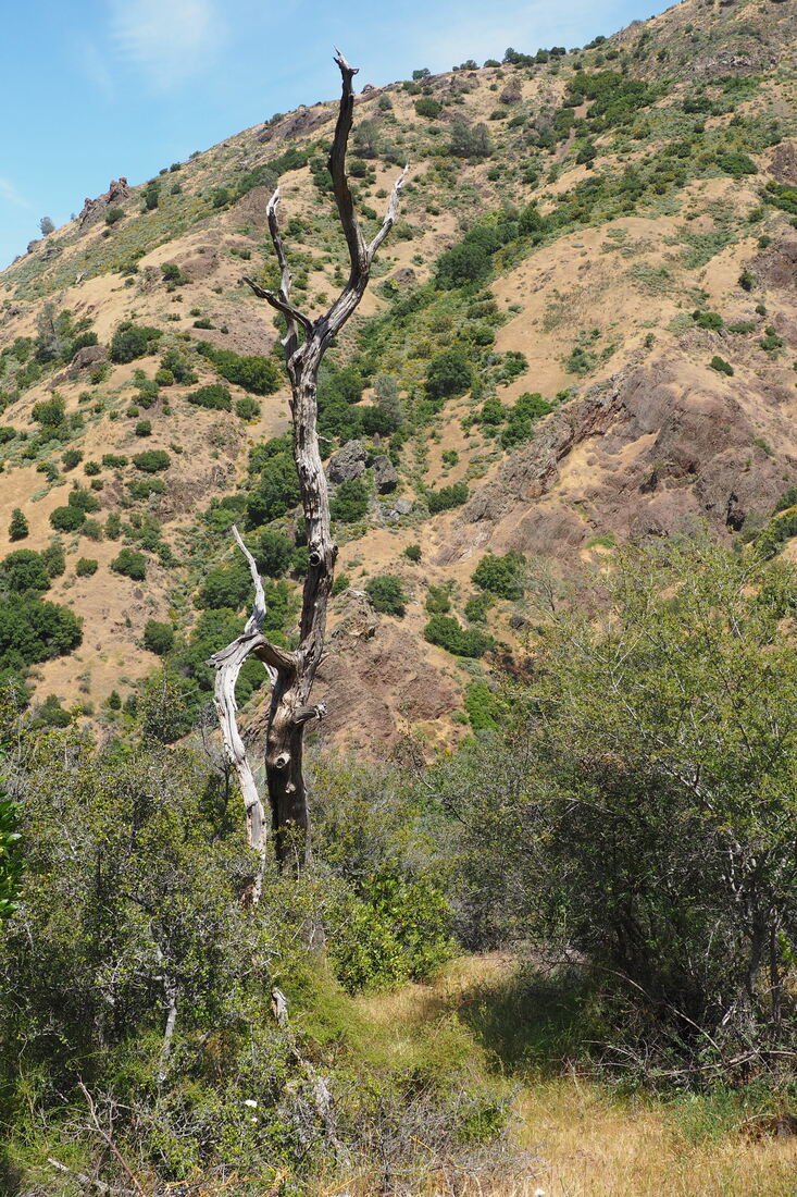
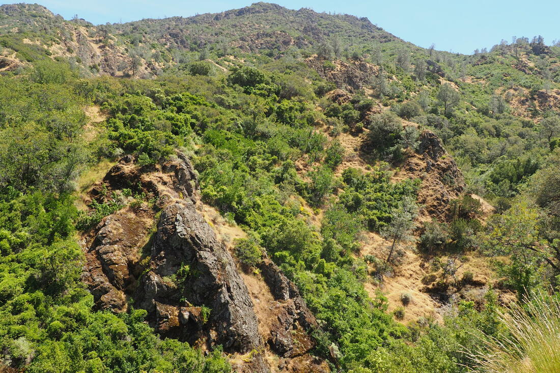
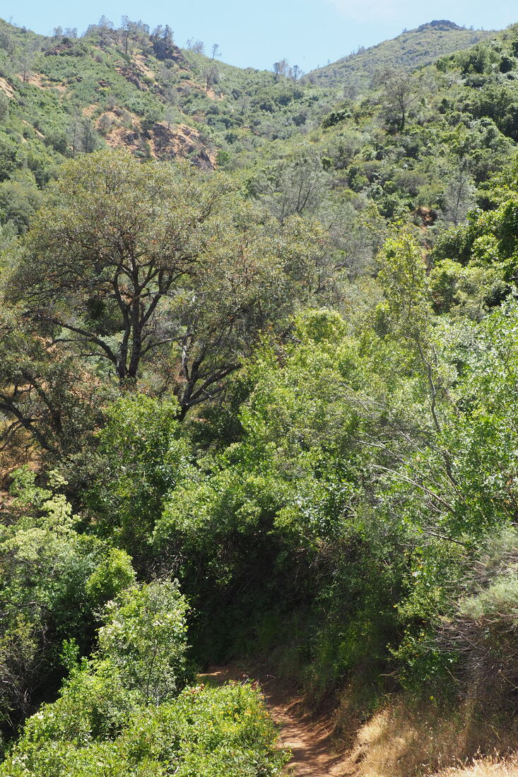
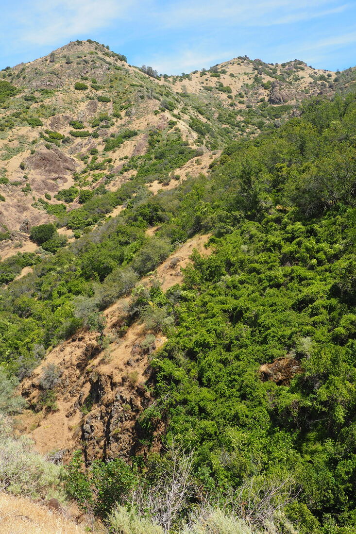
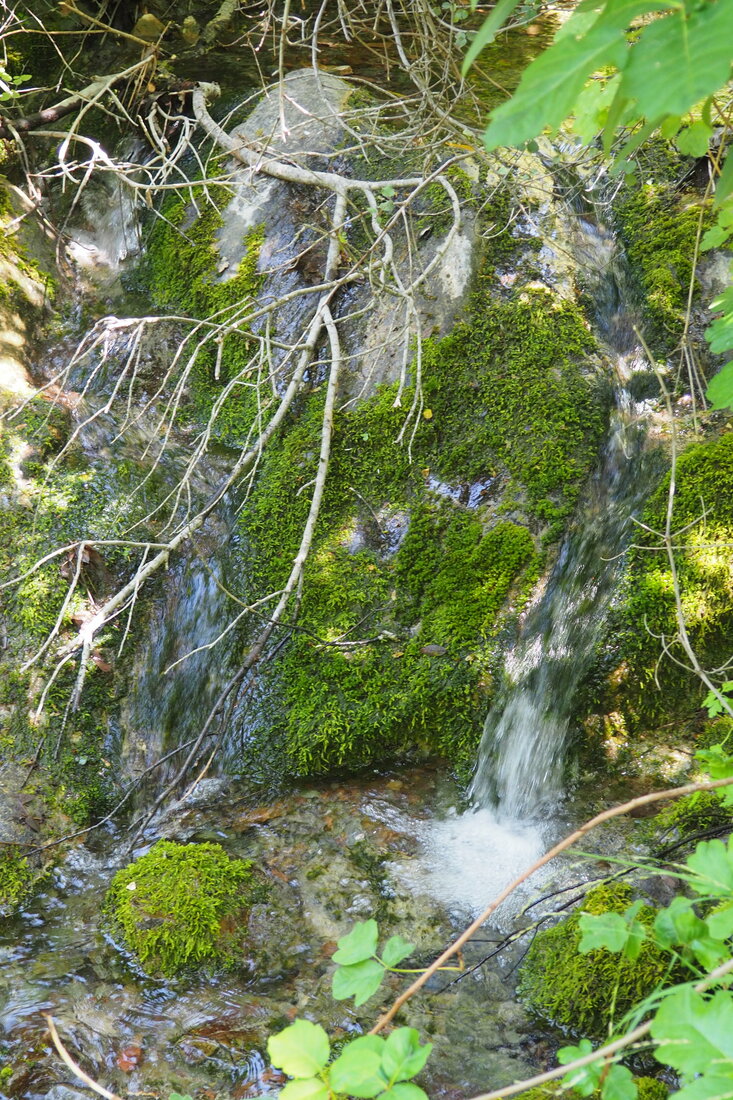
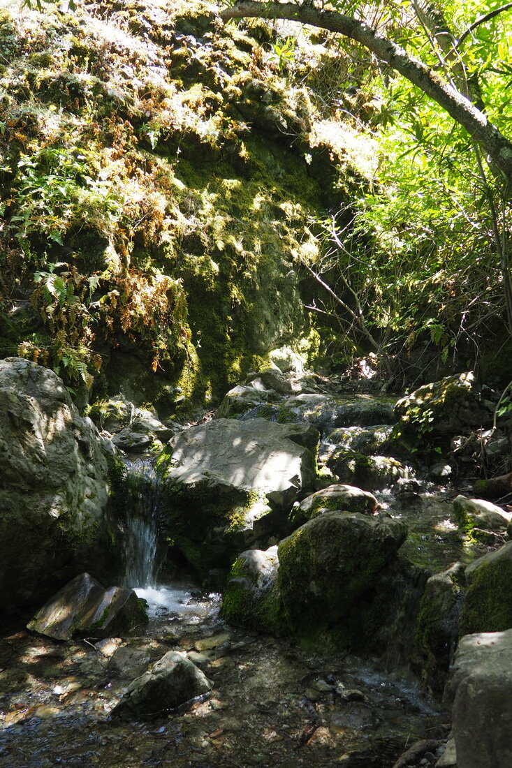
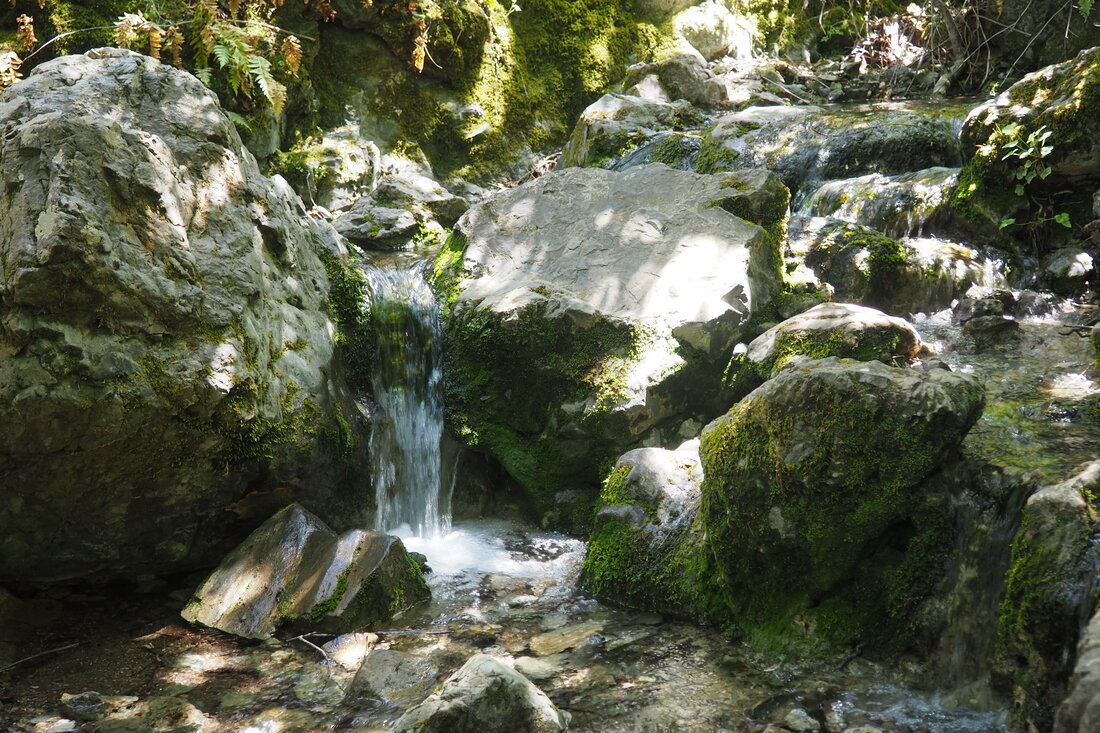
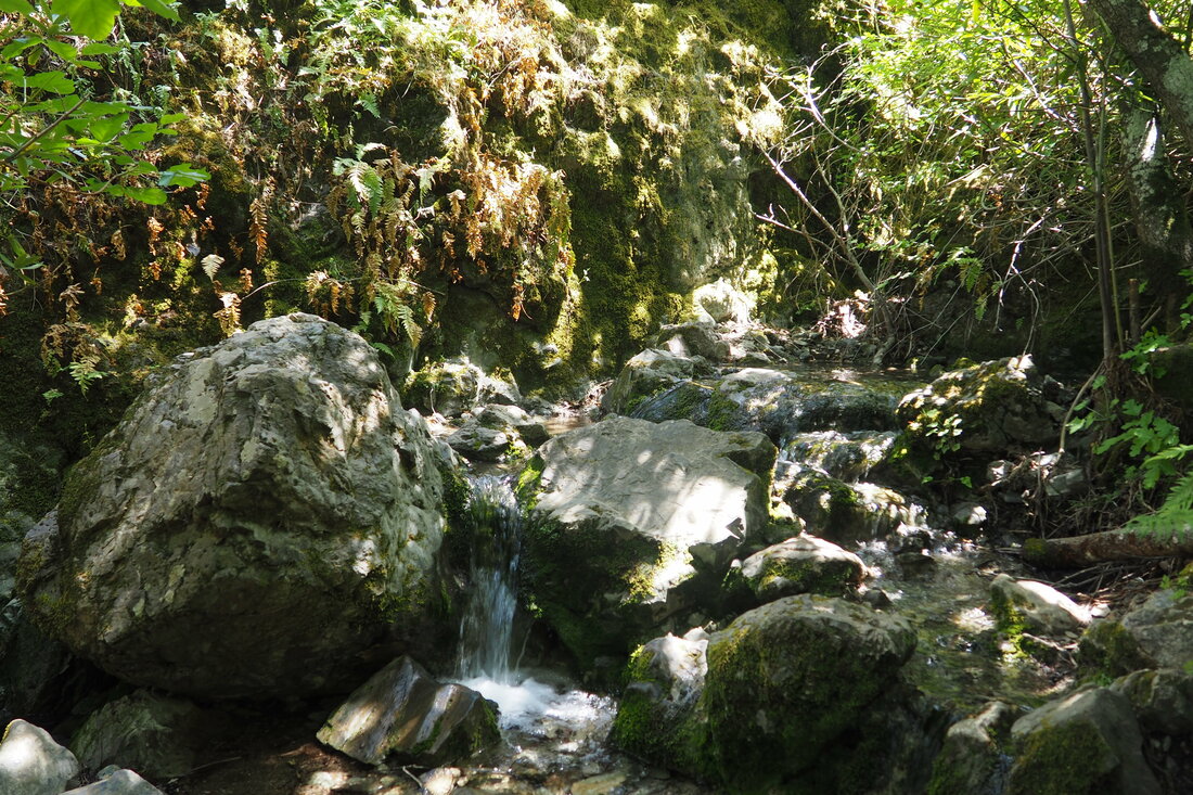
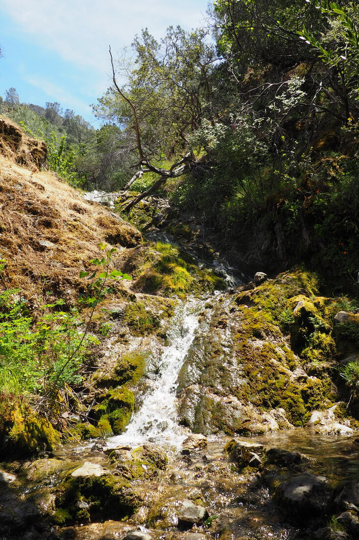
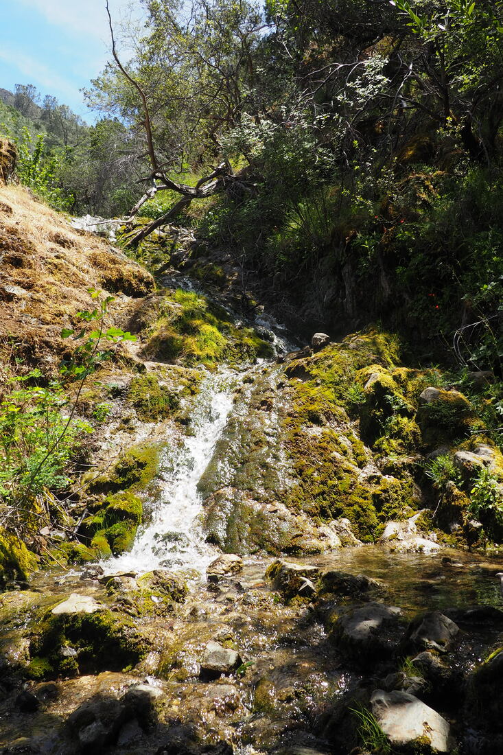
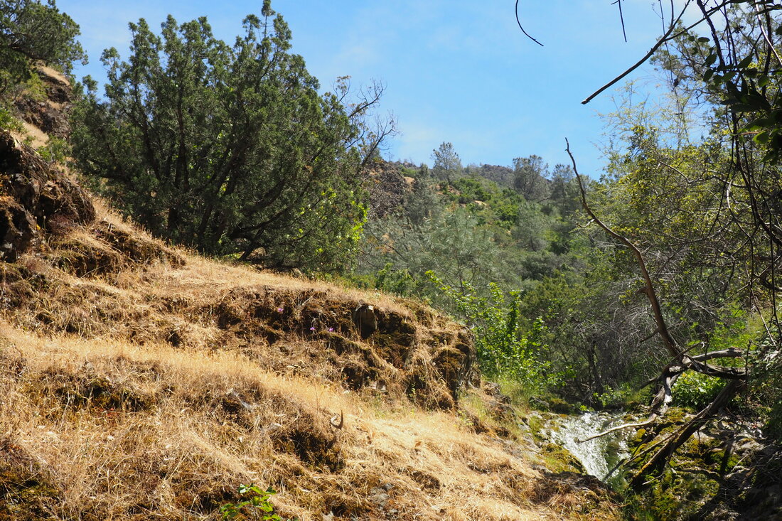
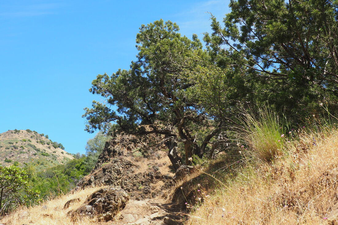
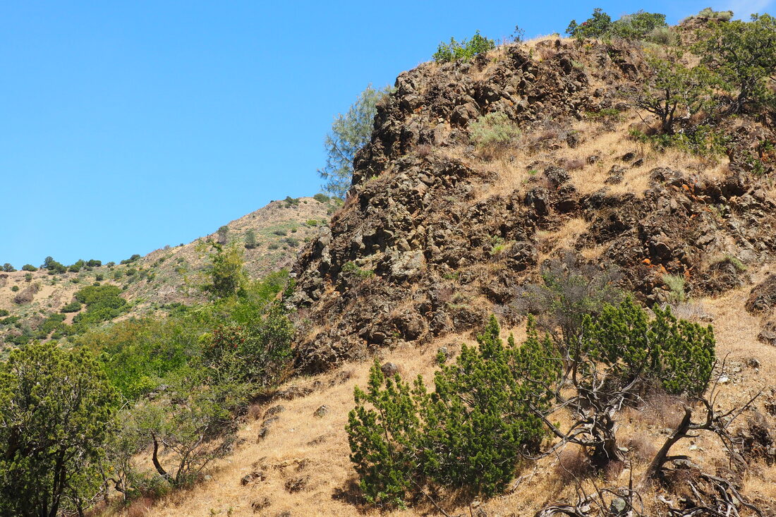
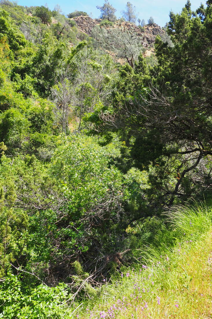
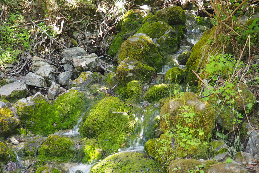
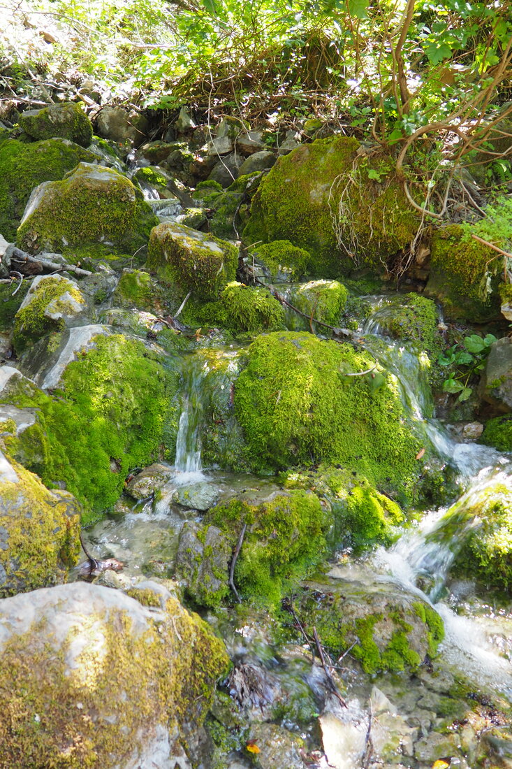
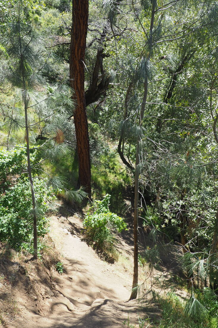
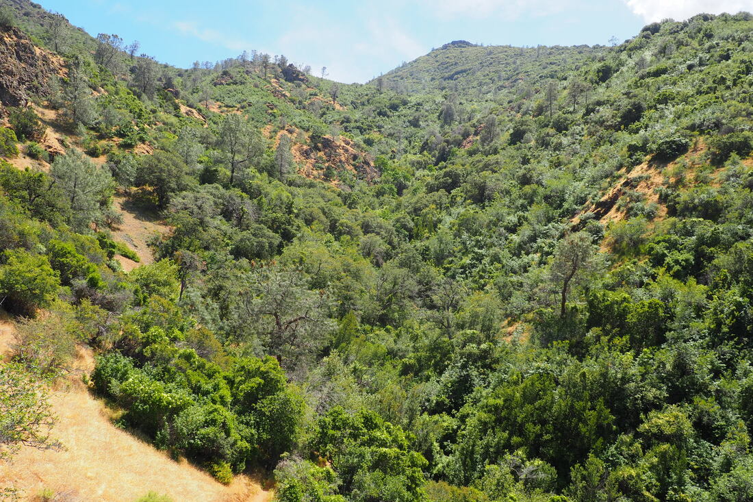
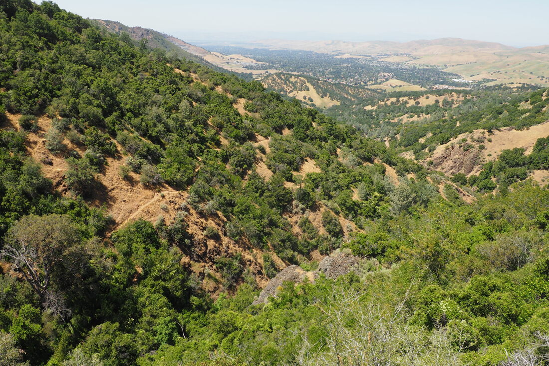
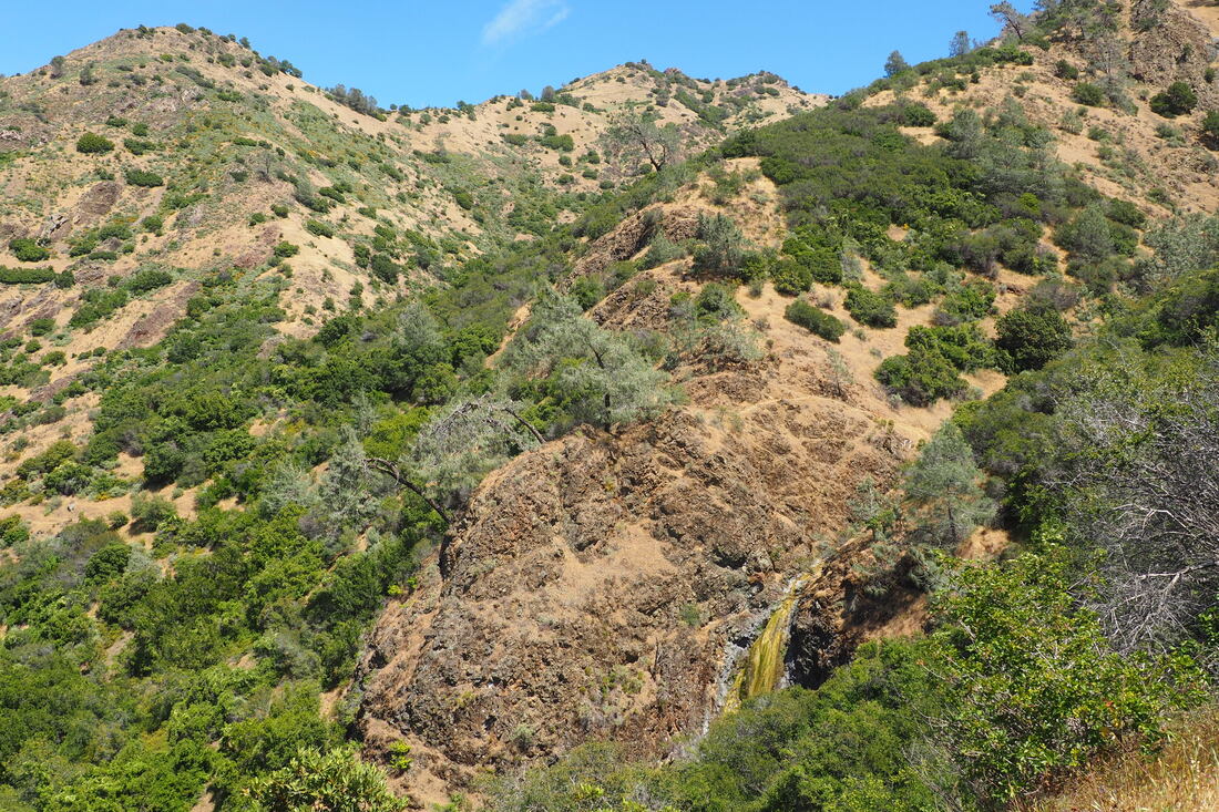
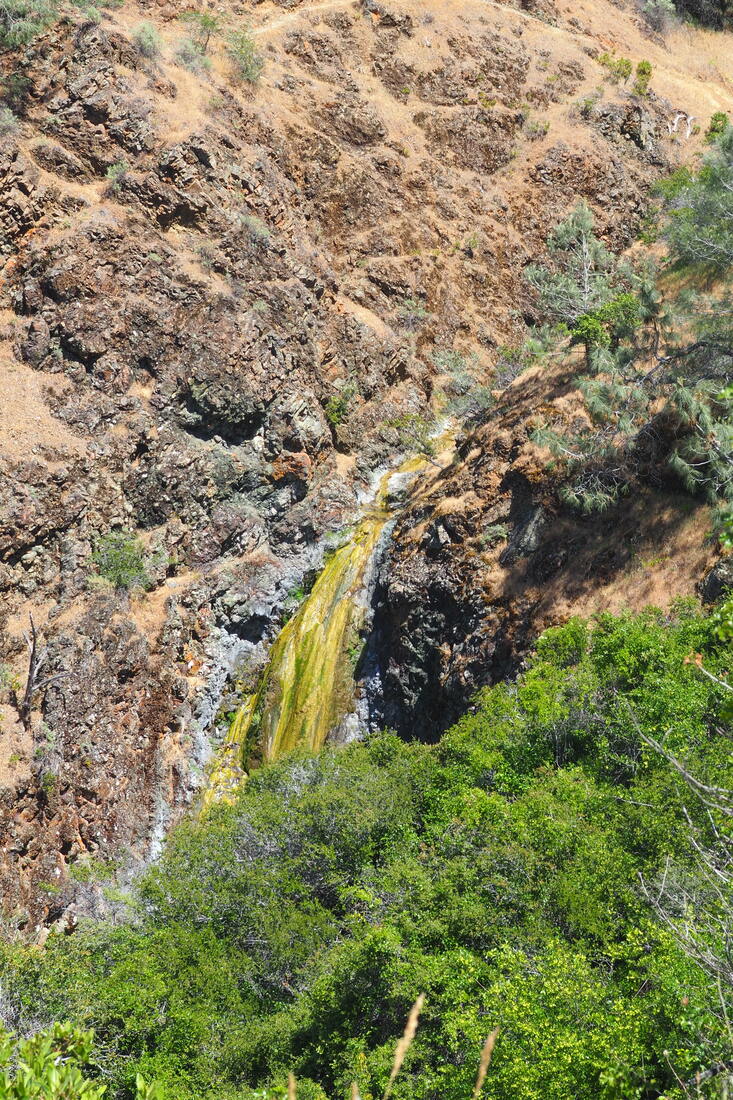
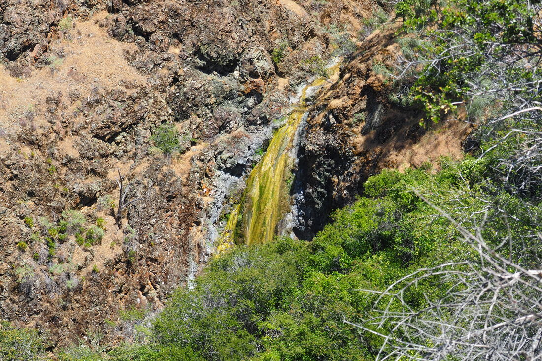
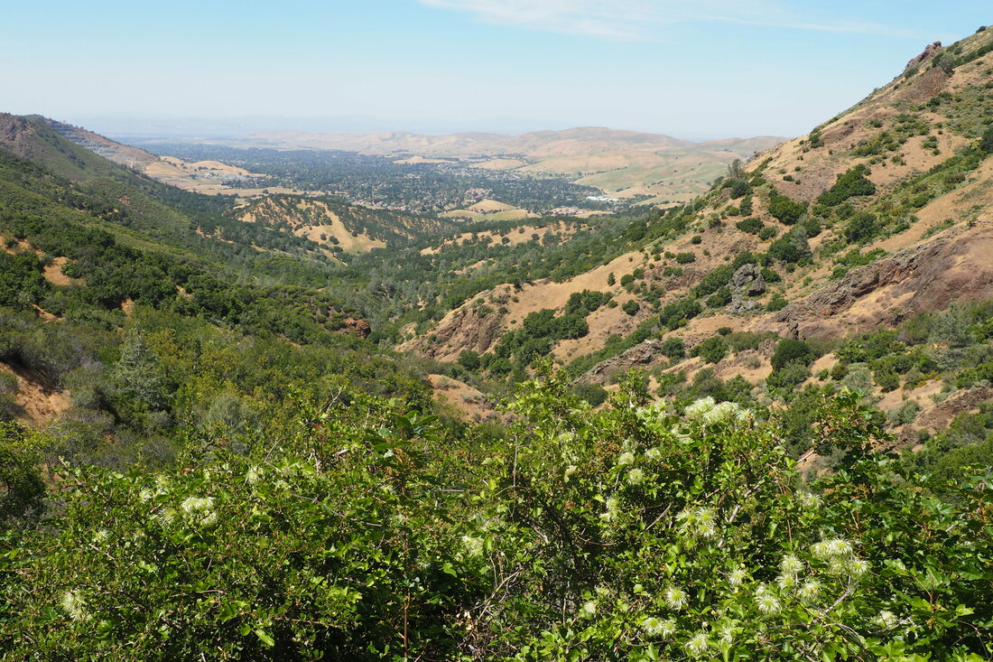
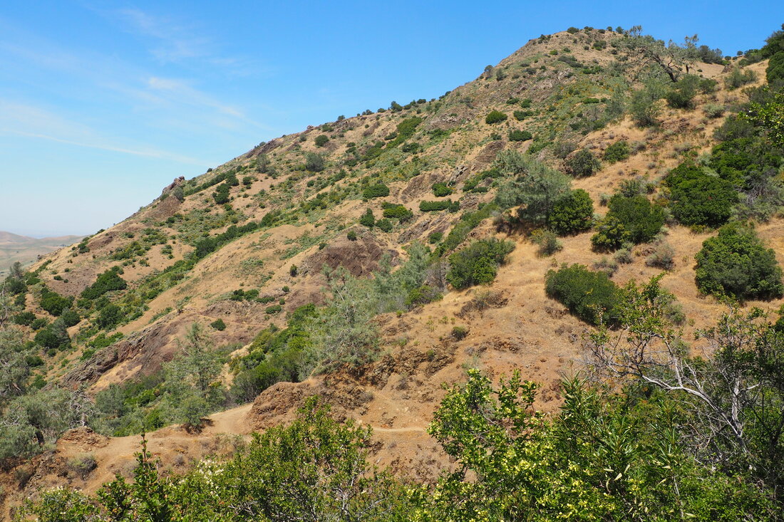
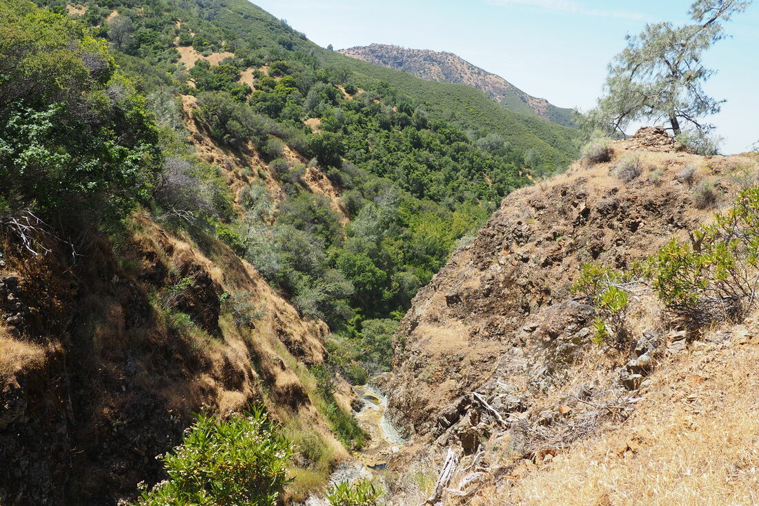
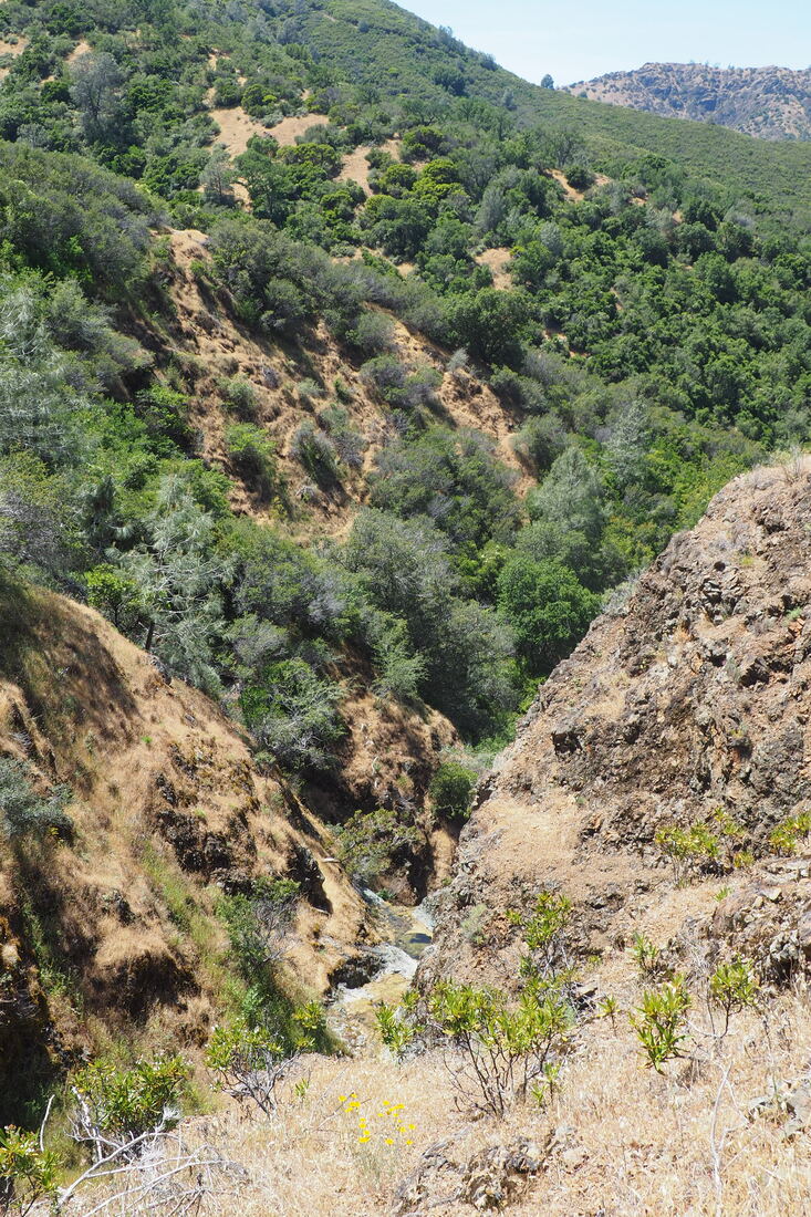
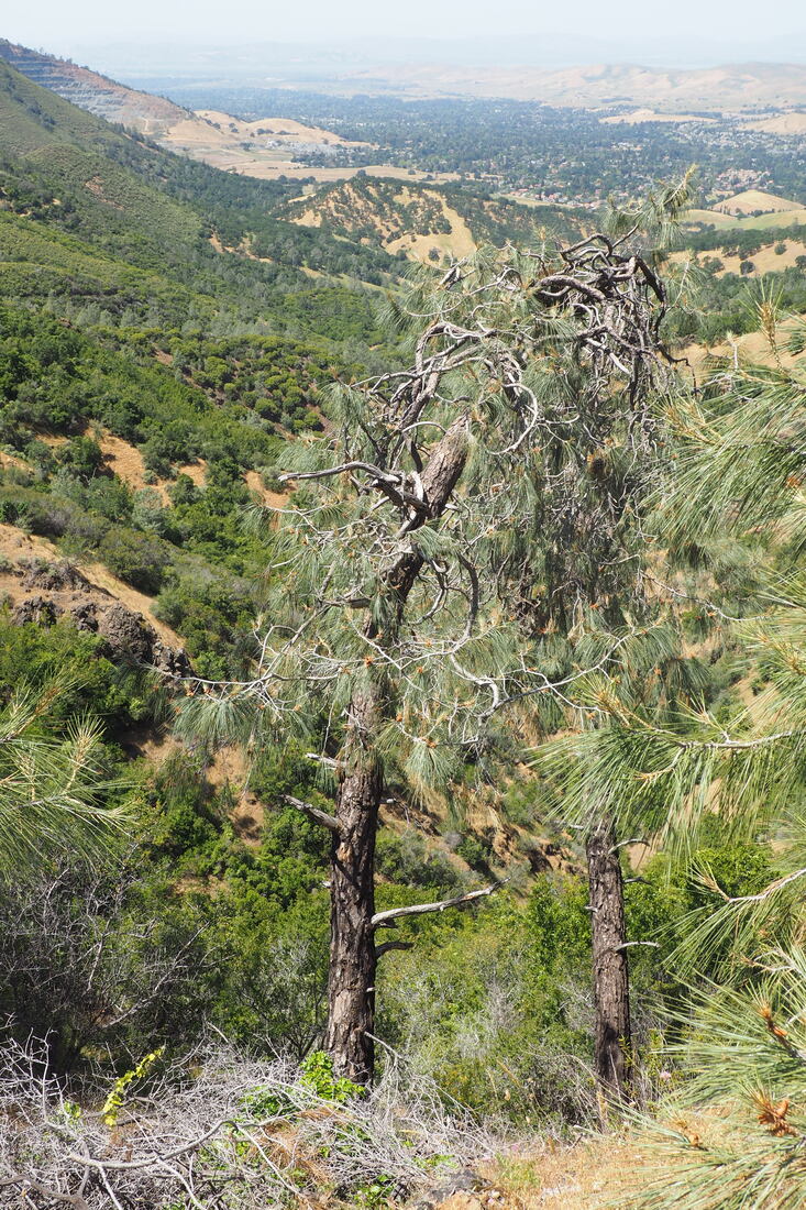
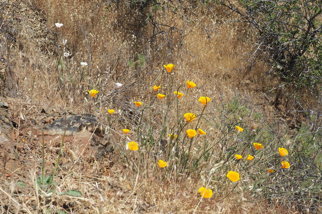
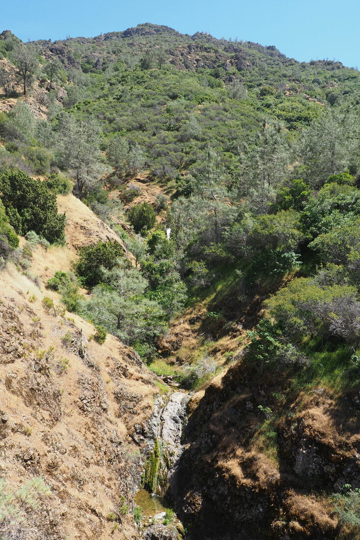
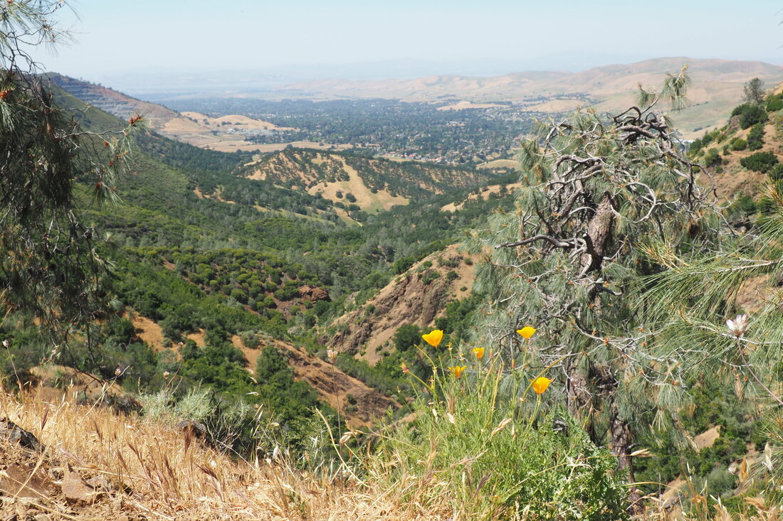
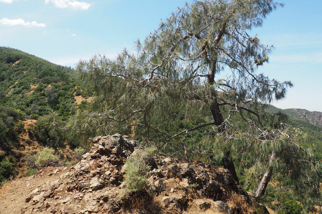
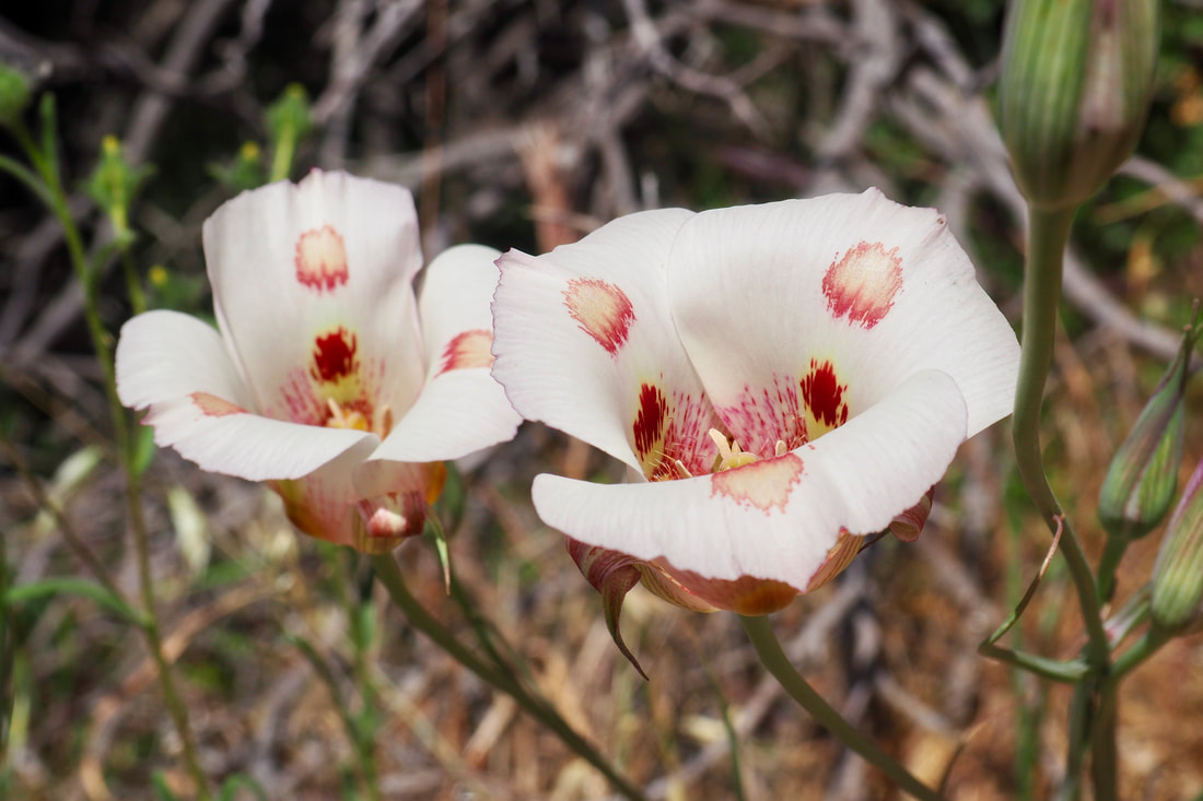
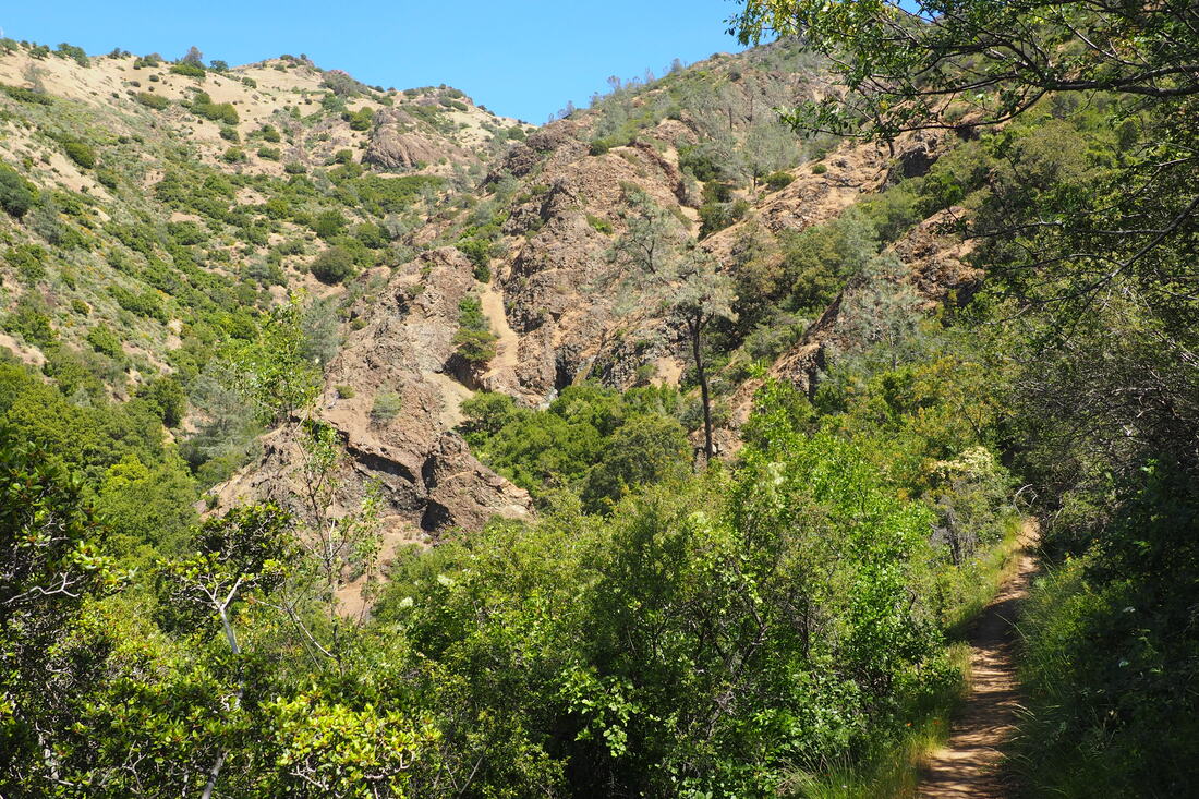
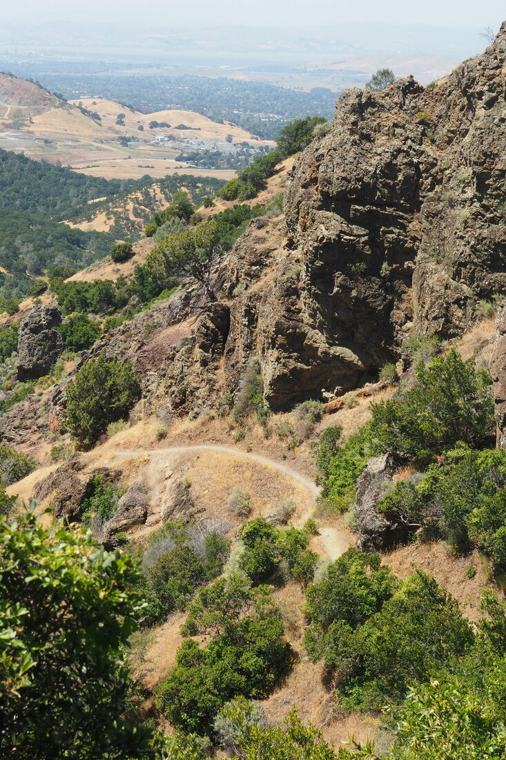
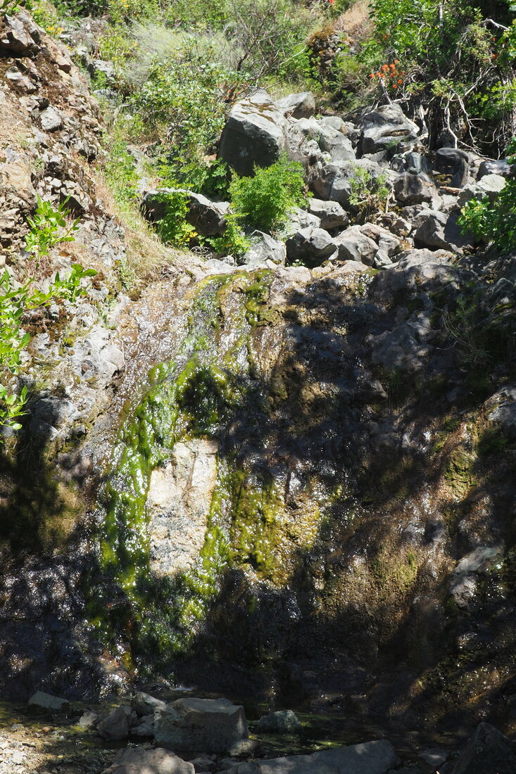
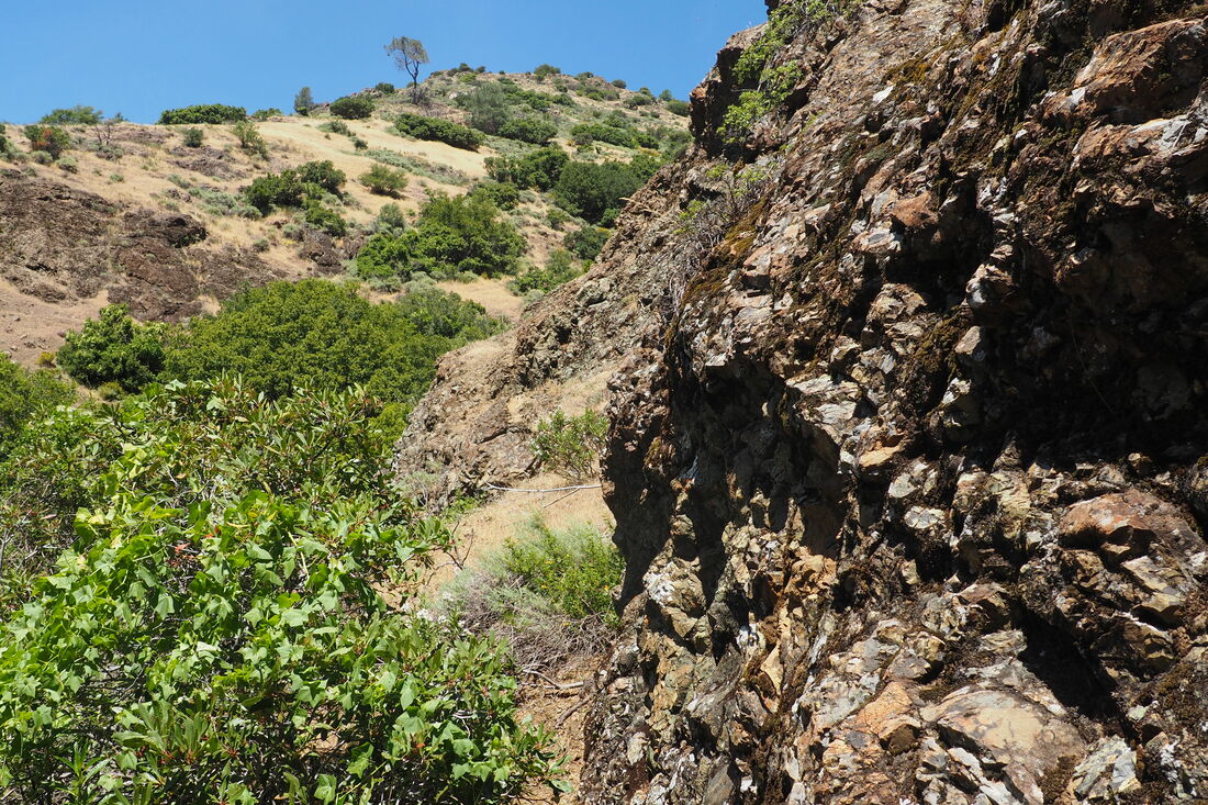
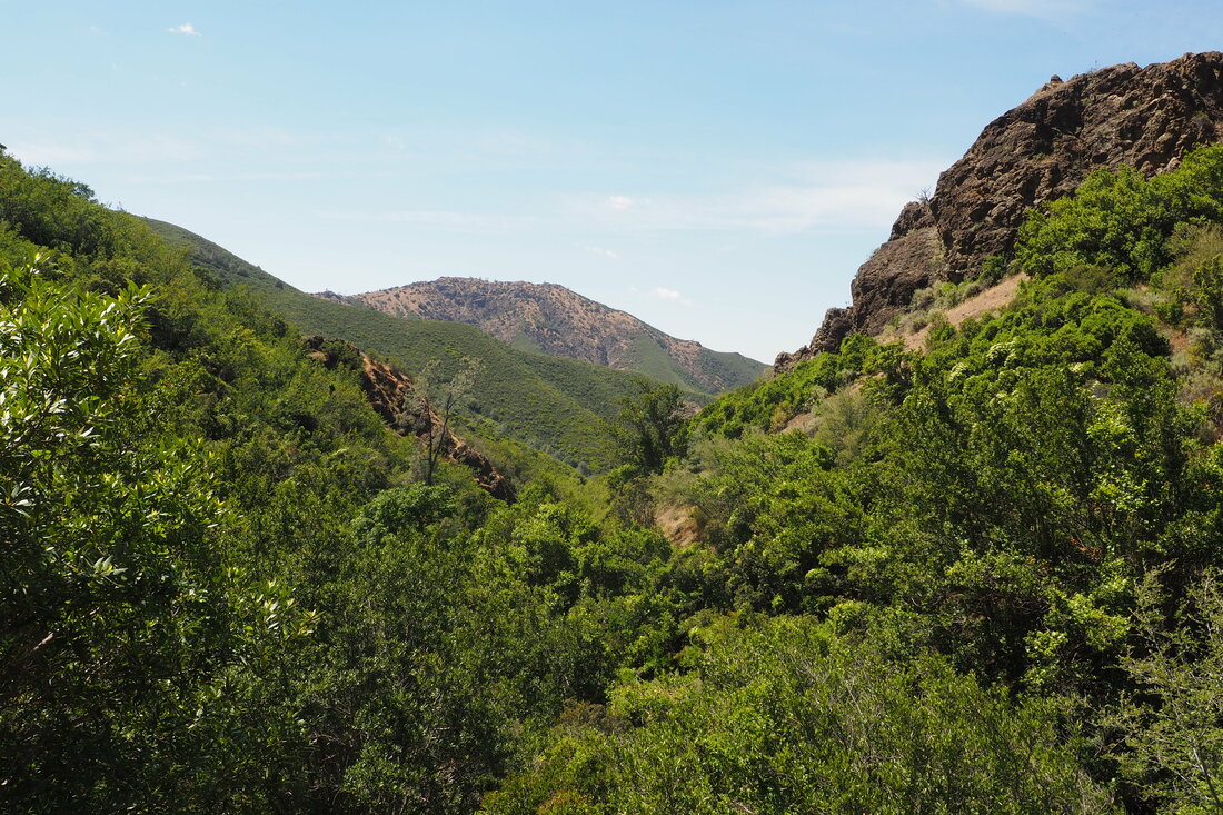
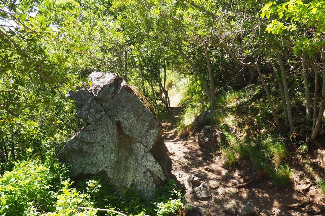
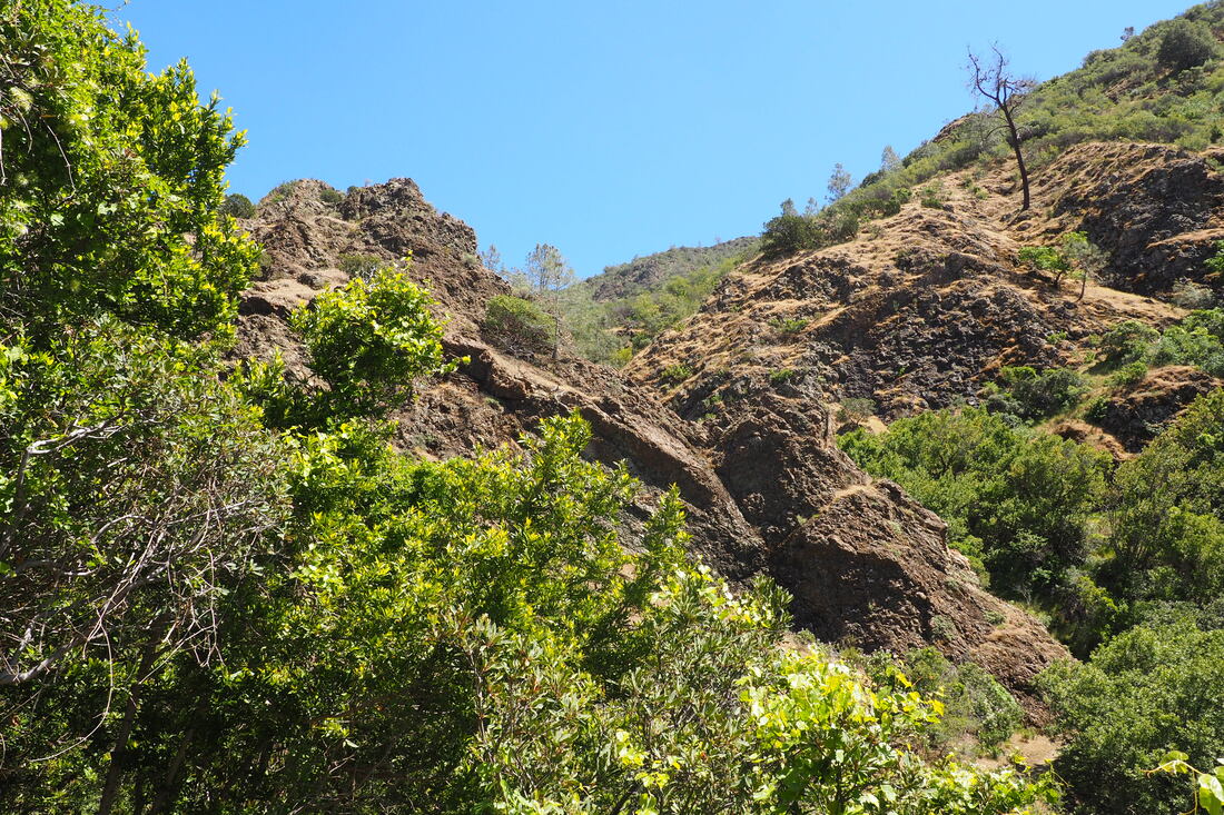
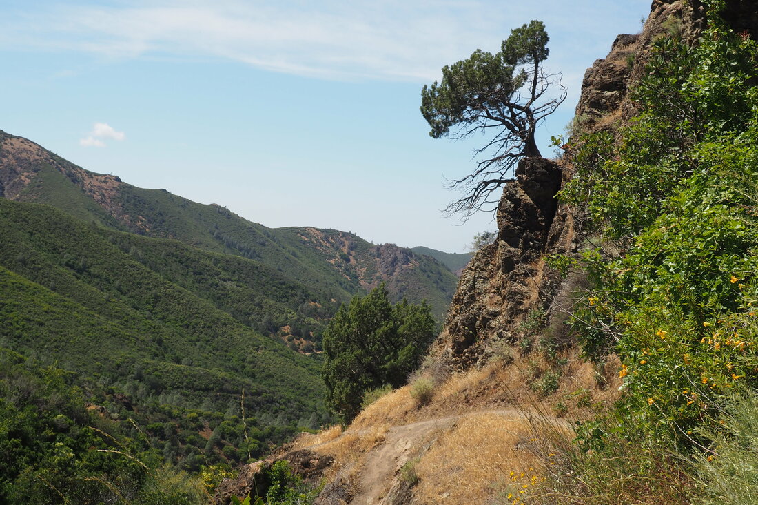
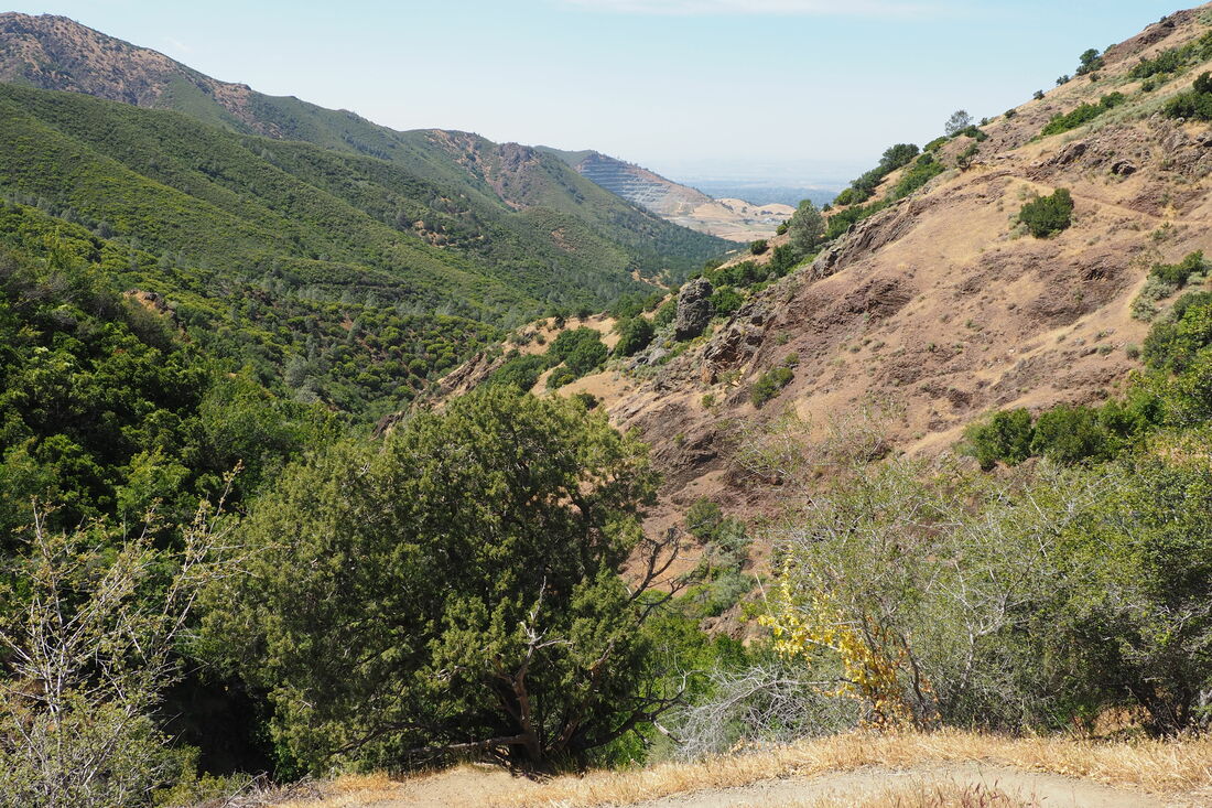
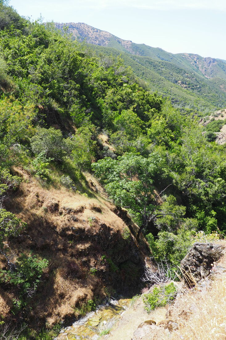
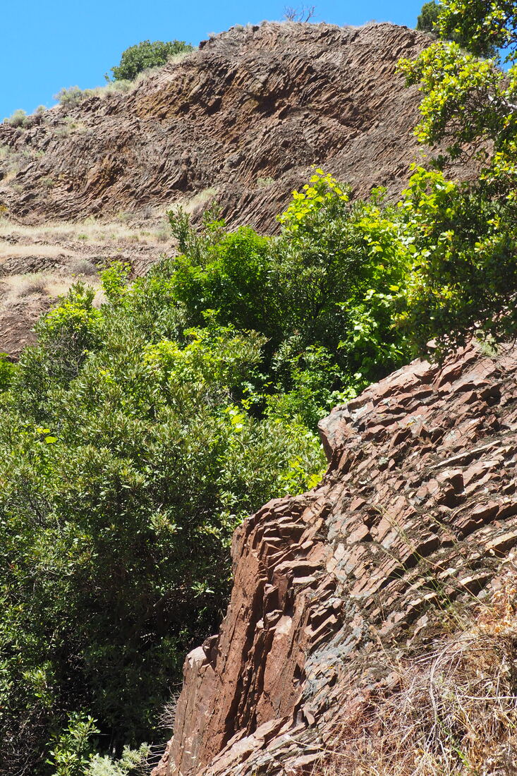
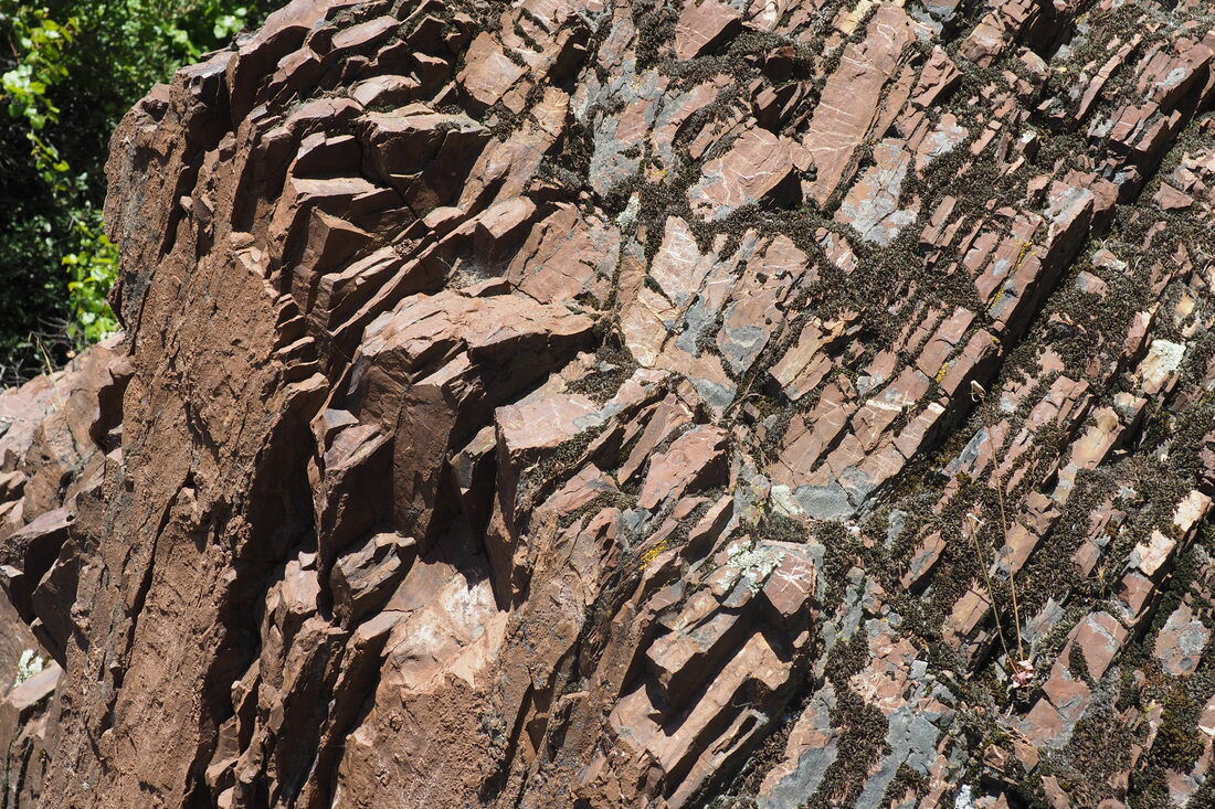
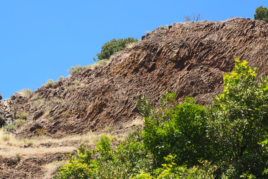
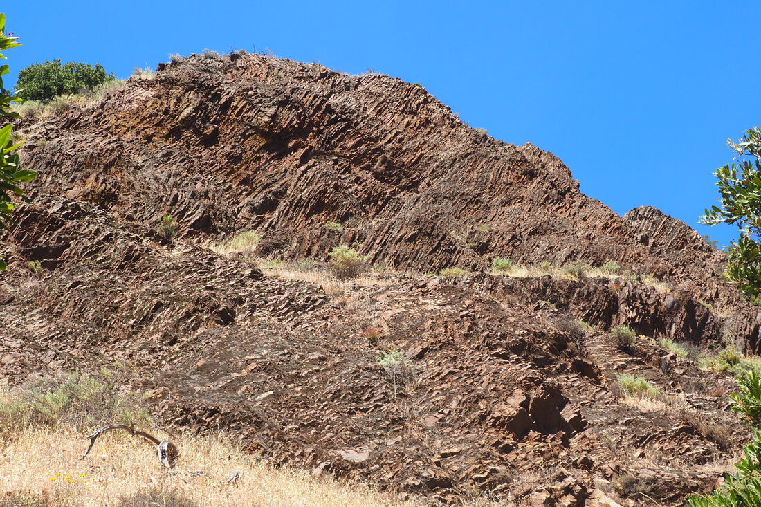
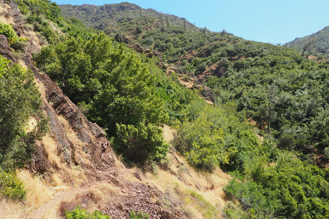
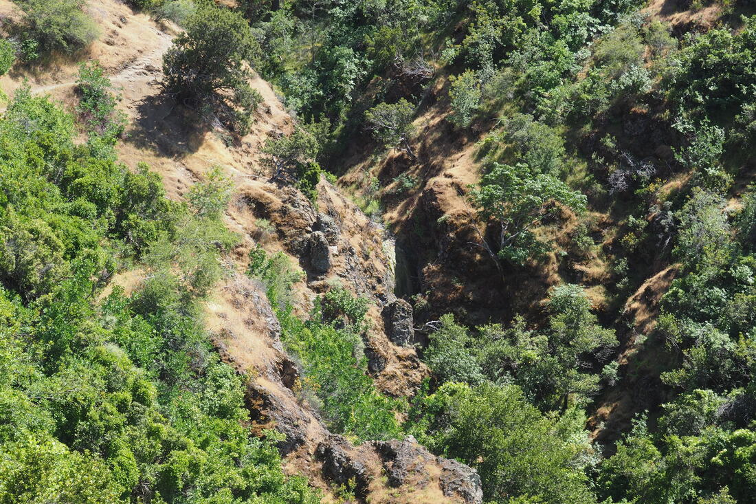
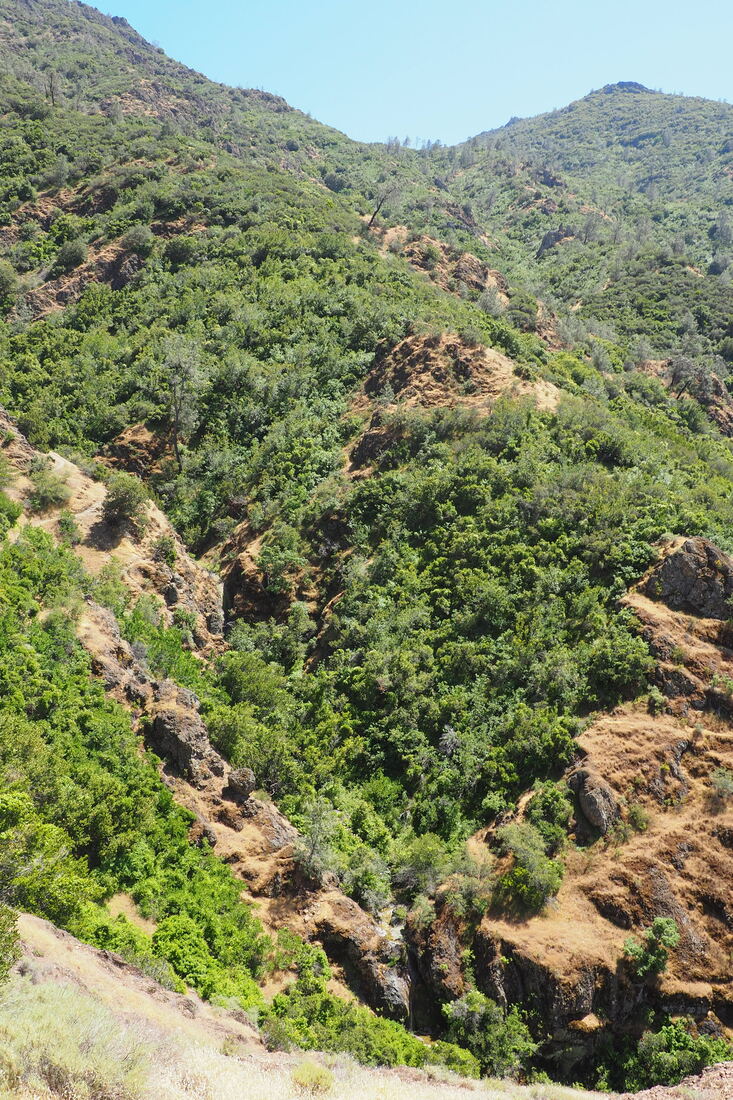
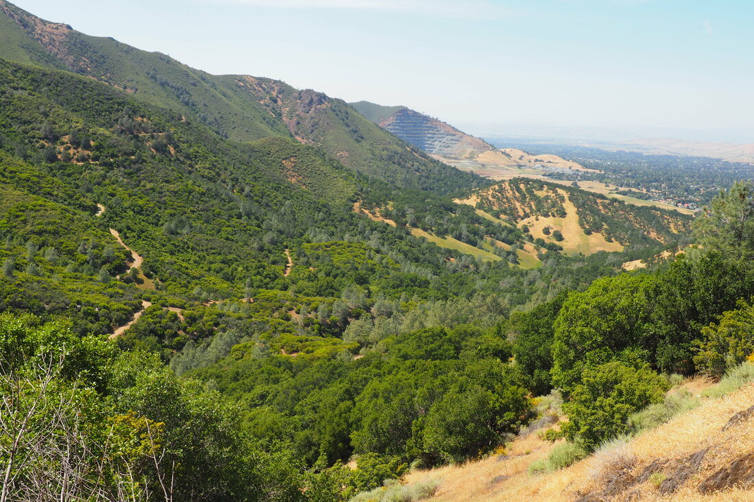
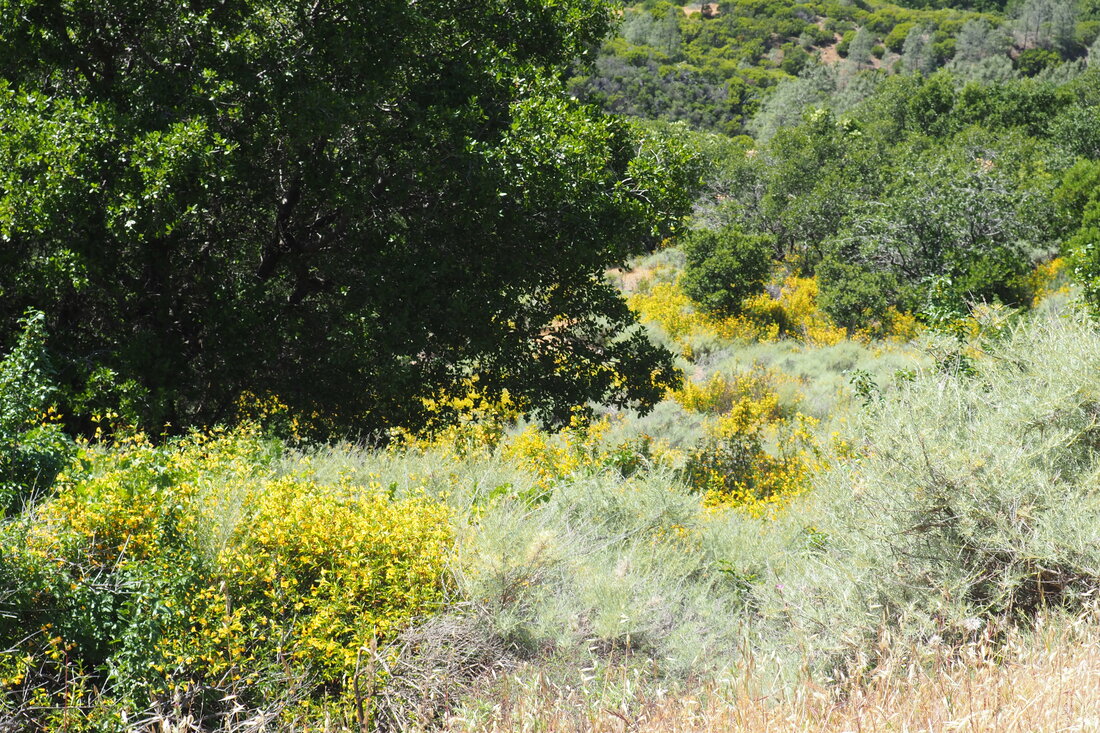
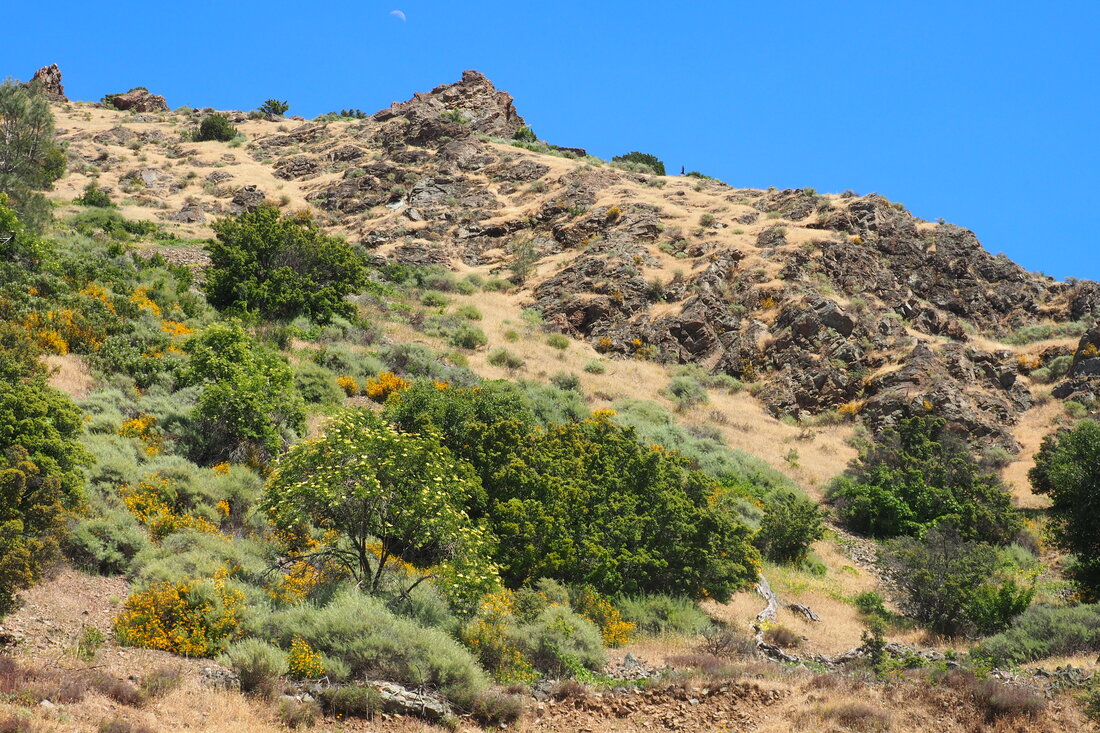
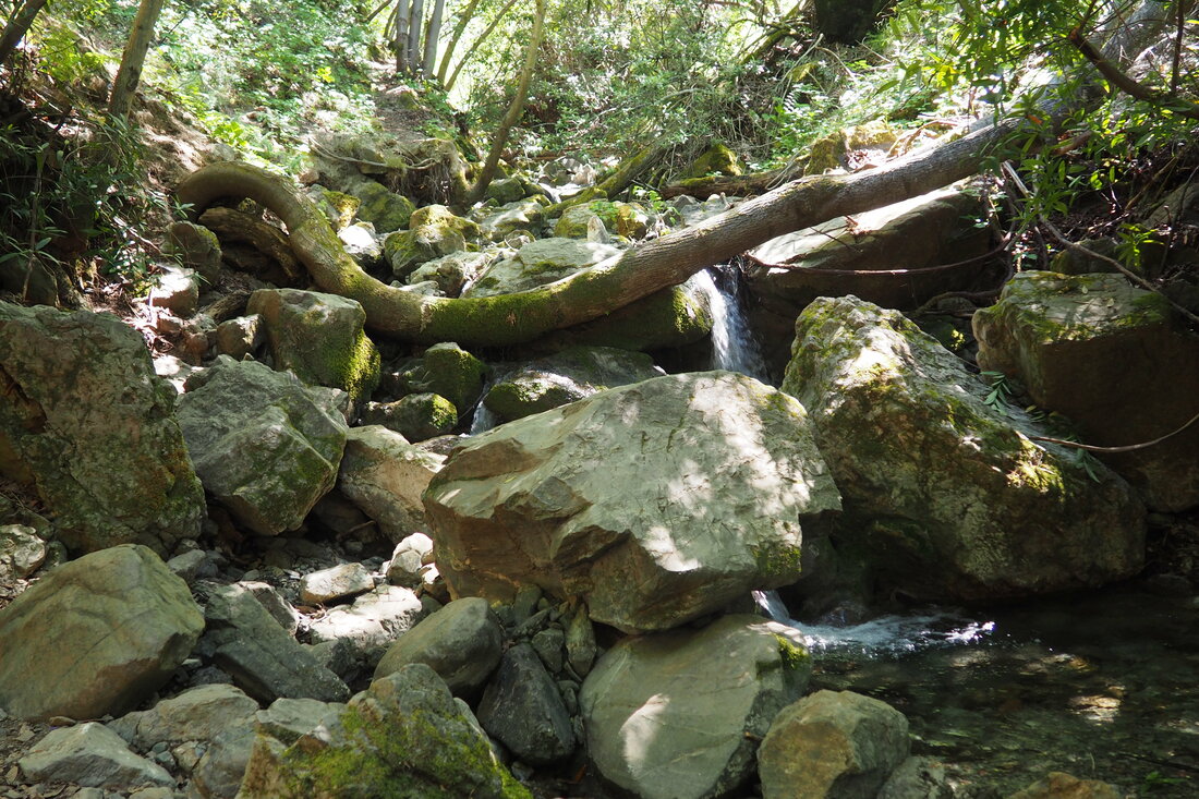
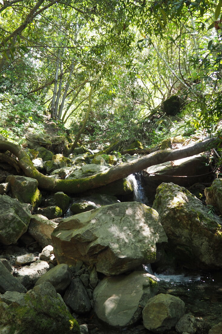
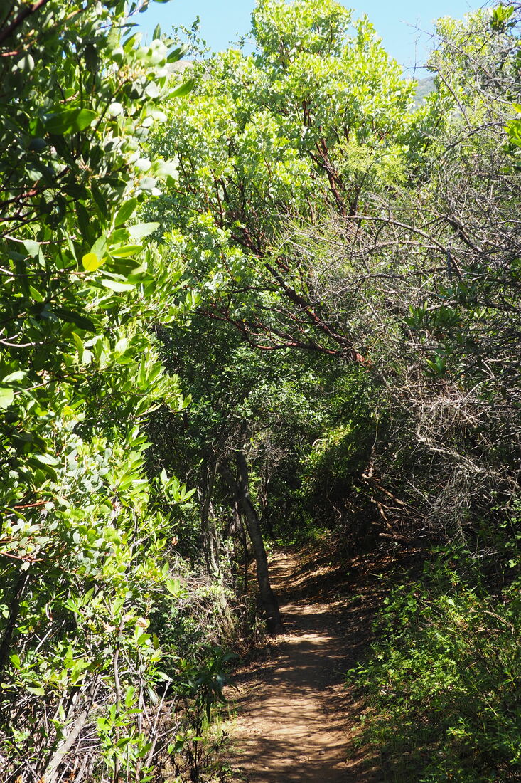
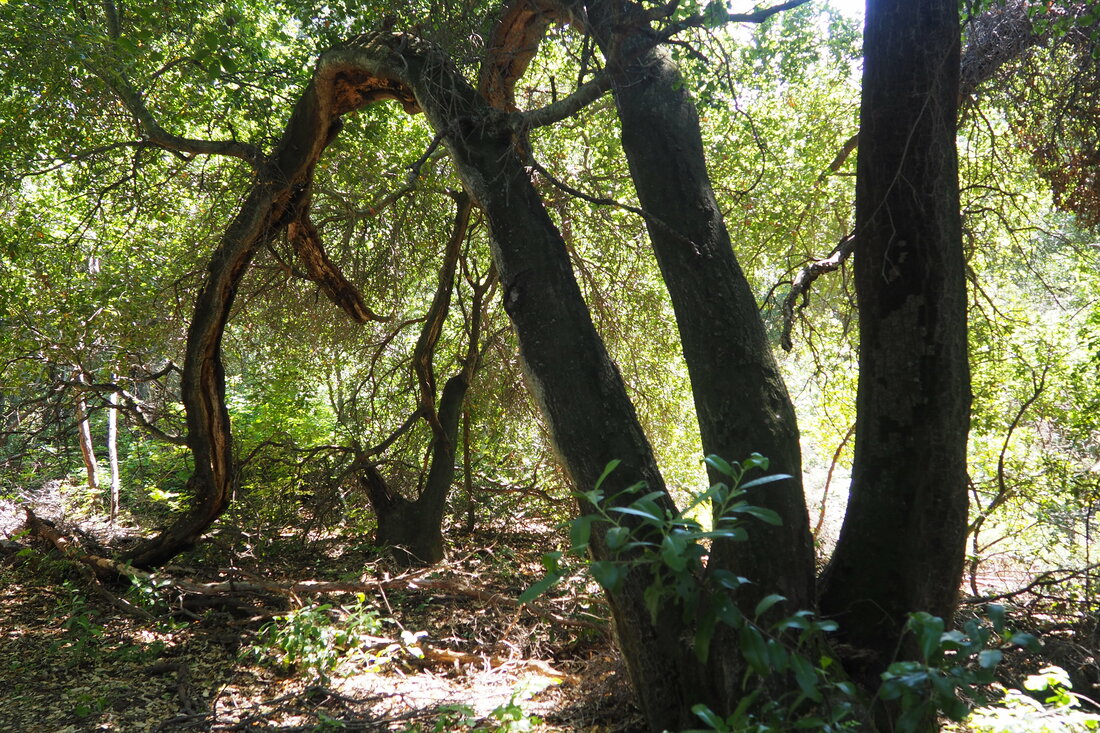
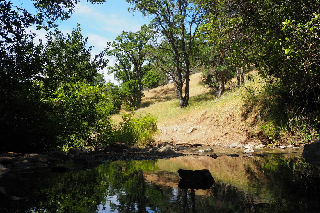
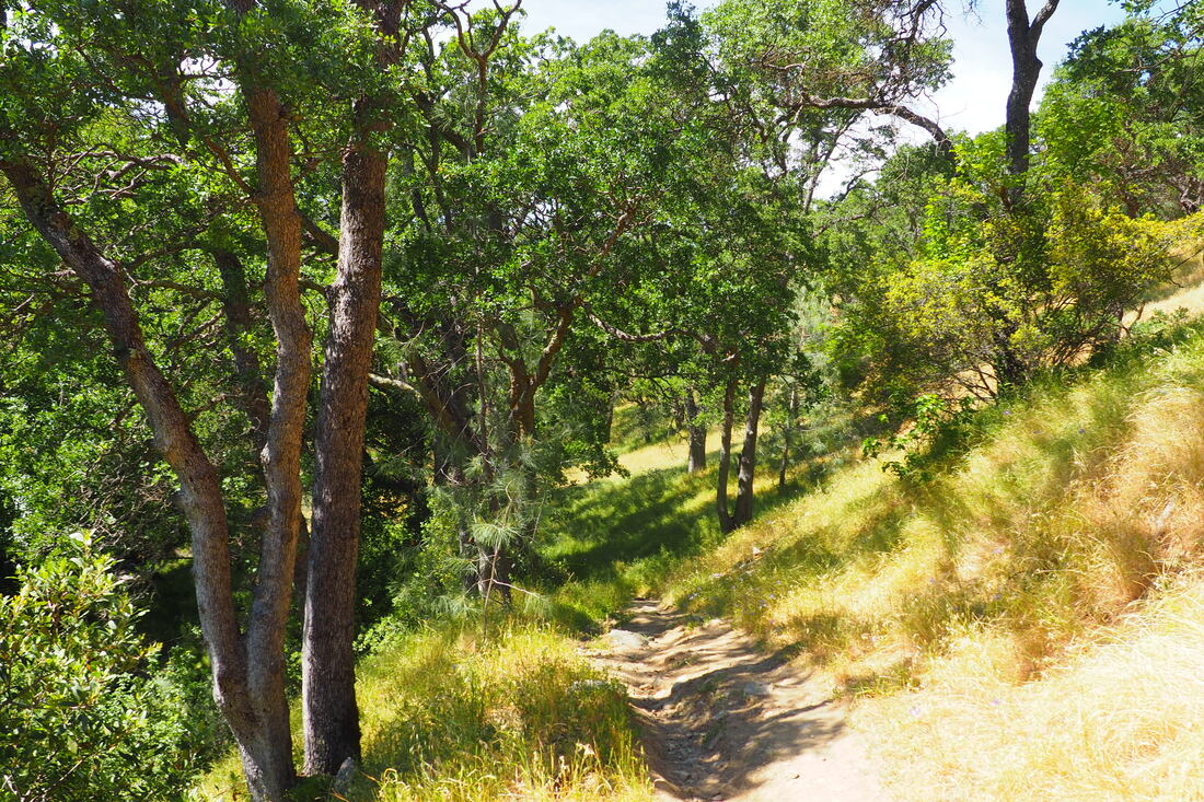
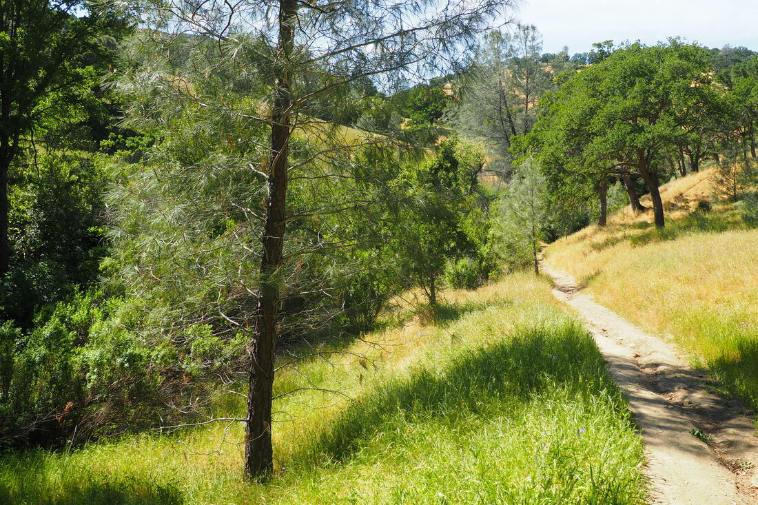
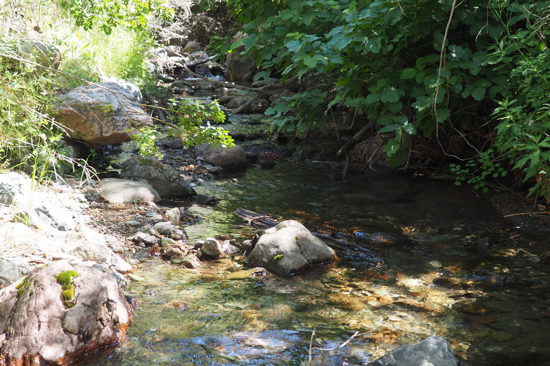
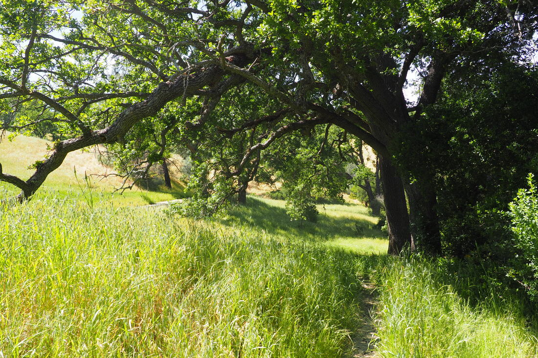
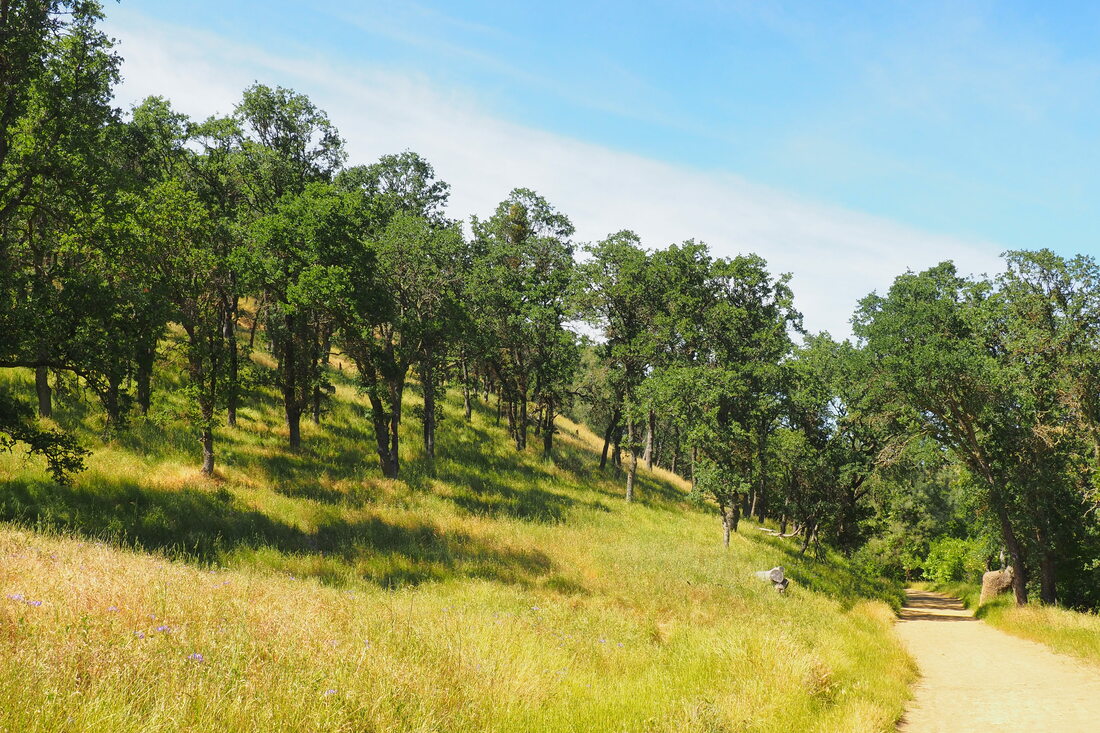
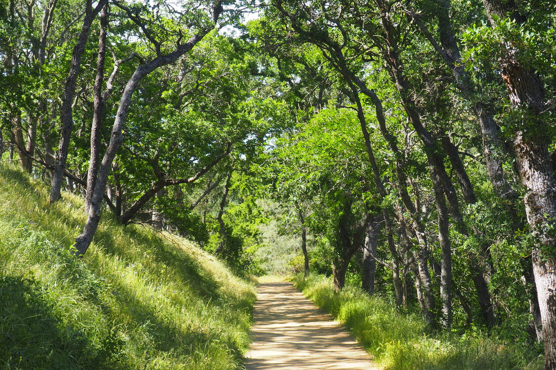
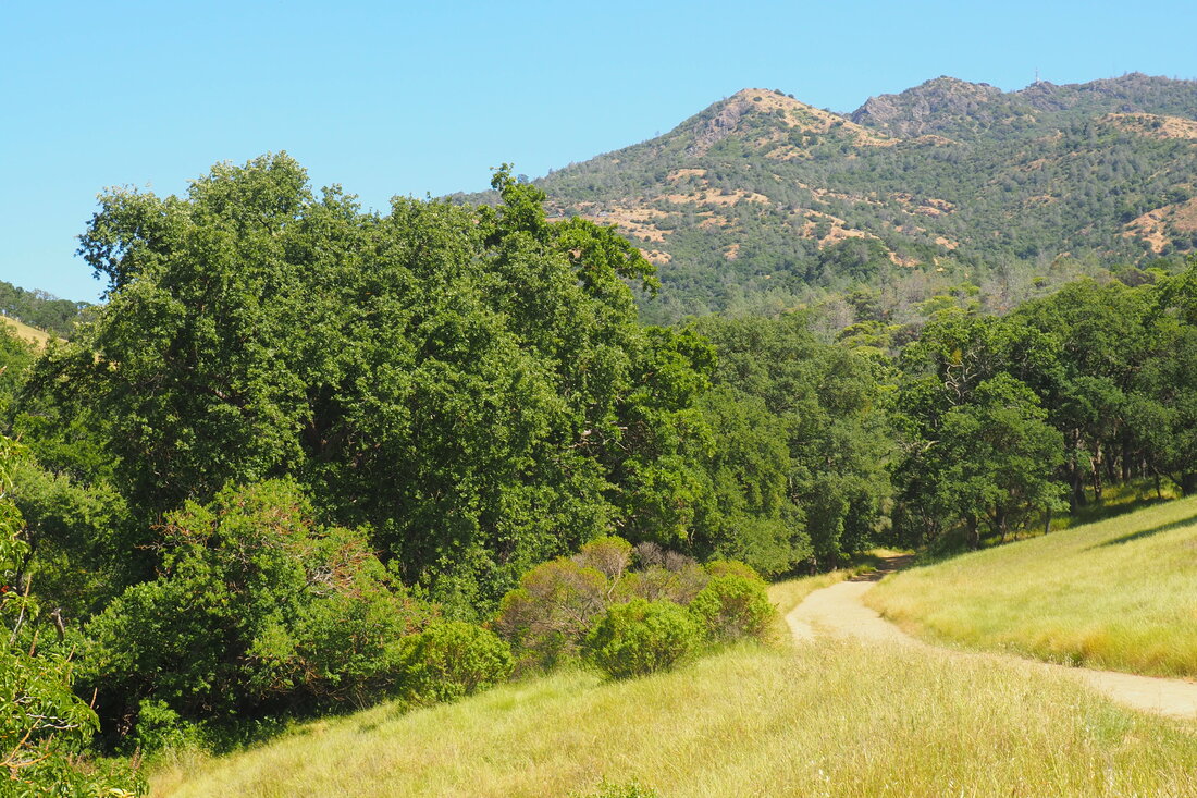
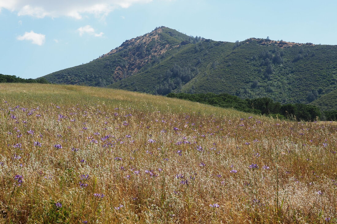
The bees buzzed loudly though the flowering chamise, and I saw hummingbirds darting in and out from the branches. California buckwheat, yellow globe lilies, and Indian paintbrush dominated this chaparral ecosystem. This part of the hike was exposed to the sun, but the sun was mostly to my back. Along the fire road of Meridian Ridge Road, the pines returned along with manzanita. Lupine, fire poppies, and (especially) Chinese houses became more abundant. There were LOTS of Chinese houses! It was quite spectacular. When I turned onto the Middle Trail, a single-track trail through a dense forest of manzanita, the yellow globe lilies, larkspur, and buttercups became more prevalent. This part of the hike was so different than the riparian and chamise-dominant chaparral landscapes that I had just crossed. Donner Canyon seems less lush than the canyon along Back Creek, but you can hear the water very clearly. As you get closer and closer to the turn onto Falls trail, you can tell that the water is getting closer. The denseness of the manzanita does offer shade. Along Falls Trails (depending on the time of year that you go) you will see lots and lots of waterfalls. Some of the time you are hiking right by them (even crossing the stream), and some of the time you can see them in the middle distance. The flowers that dominated this part of the hike were the mariposa lily (one of my favorites), the golden poppy, and mustard. I also saw elegant clarkia. Some parts of this trail are rather steep. I am glad to have done this when it wasn't muddy, because I sometimes got on my butt and crab-walked down particularly steep passages. I think the mud would be a real slipping hazard. I really liked seeing the rock formations along the eastern loop of the Fall Trail. The rocks are fascinating, and it would be awesome to do this trail with a geologist who could tell me more about how the layers of rock were formed. The layers make me think that it's sedimentary, but the color/texture of the rock looks like it was once lava. In any case, this leg of the hike felt more like hiking along an ancient volcano than like hiking in manzanita-dominant chaparral. The way down (Cardinet Oaks Road) is fairly steep, but well graded enough to do it at a reasonable clip. Although you can take Donner Canyon Road all the way back, the Hetherington Loop trail is a very attractive single-track trail that goes through a dense forest of manzanita, oak and bay laurel and then opens out onto grassy woodlands paralleling Donner Creek. This part of the hike was extremely lush and green all the way through to the end (even once Hetherington Loop reconnected with Donner Canyon Road). I would not recommend doing this exact hike with young children; however, I would recommend the last section--hiking along Donner Canyon Rd. and Hetherington Loop--with children. The trail is more or less flat along this section, and children would enjoy stopping along the creek to throw stones in the clear water. This hike was a gem!
0 Comments
Leave a Reply. |
Archives
December 2020
Categories
All
|


 RSS Feed
