Lonely Hiker
  • Home
  • About
  • Regions
  • Parks
  • Trails
  • Photography

Trails

Bollinger Creek Loop Trail, Las Trampas

9/15/2019

0 Comments

 
Picture
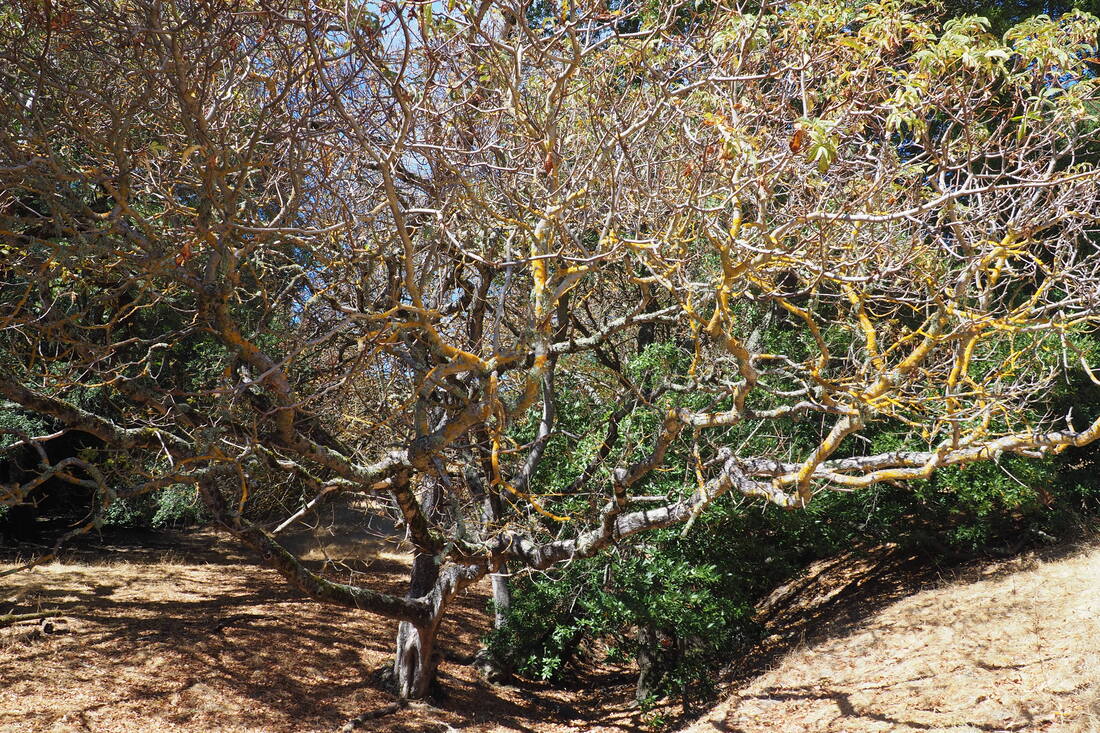
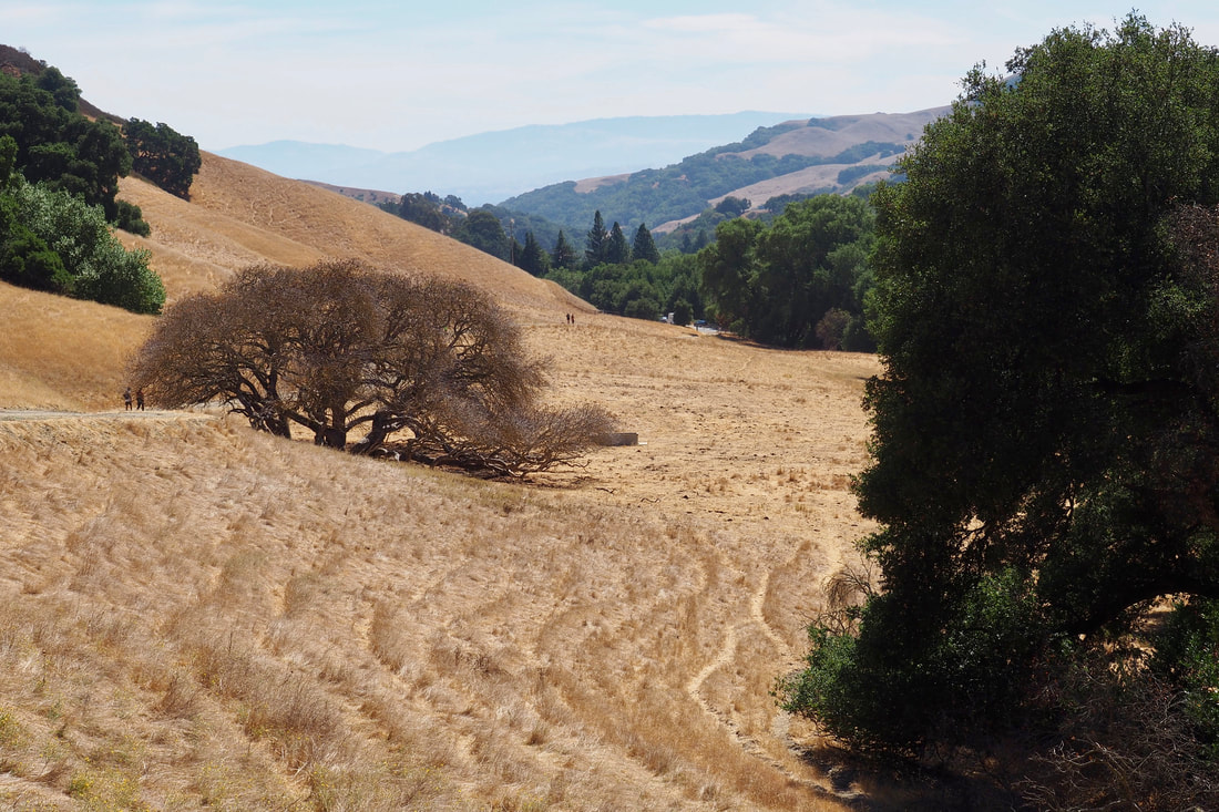
Las Trampas Regional Wilderness in San Ramon is a sprawling wilderness area. Today, I only dipped my toe into the park in this very easy introductory hike of only 1.5 miles and minimal elevation gain. I was by myself today, but this would be a great hike to do with my little one in the toddler backpack carrier.
Picture
Picture
Picture
Picture
The EBRPD's website has the following blurb about Las Trampas:

Las Trampas Wilderness Regional Preserve offers 5,342 acres of wilderness and an expanded trail system that allows hikers and horseback riders to enjoy its remote and rugged areas. The park's size and terrain allow visitors a feeling of privacy and escape from urban hustle and bustle.
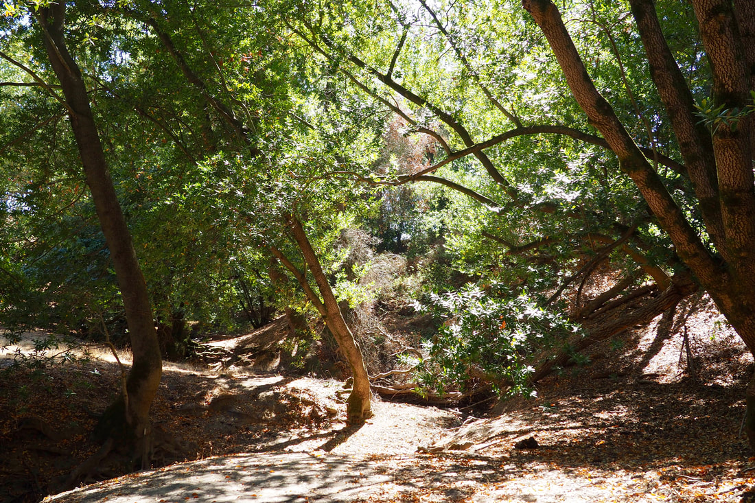
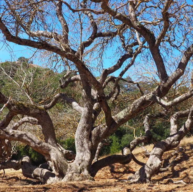
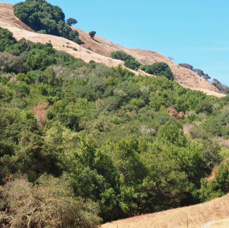
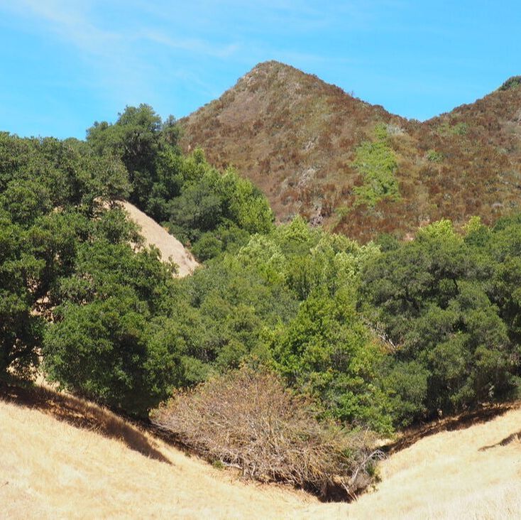
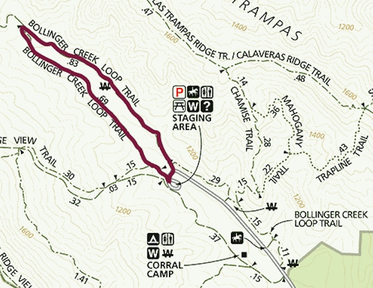
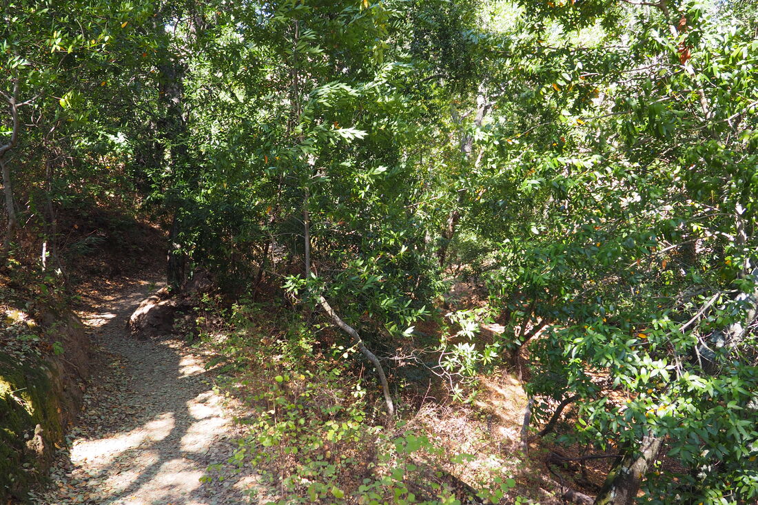
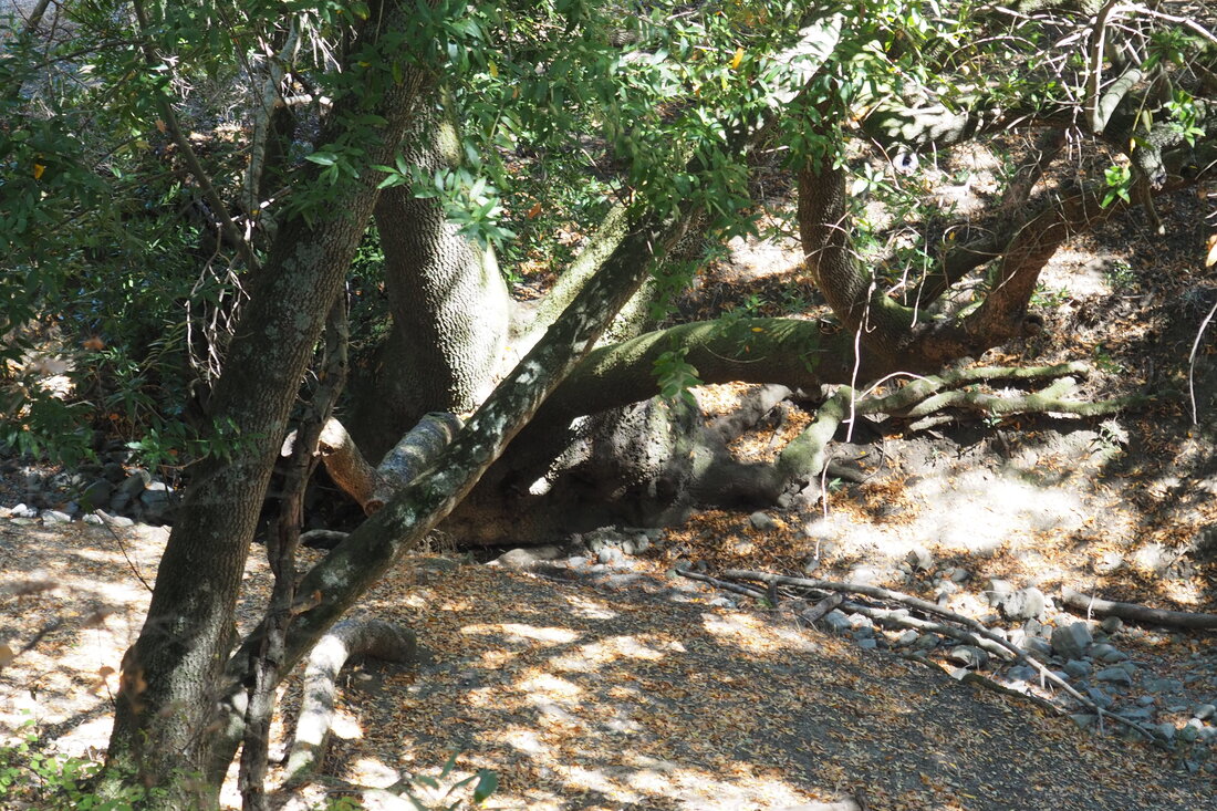
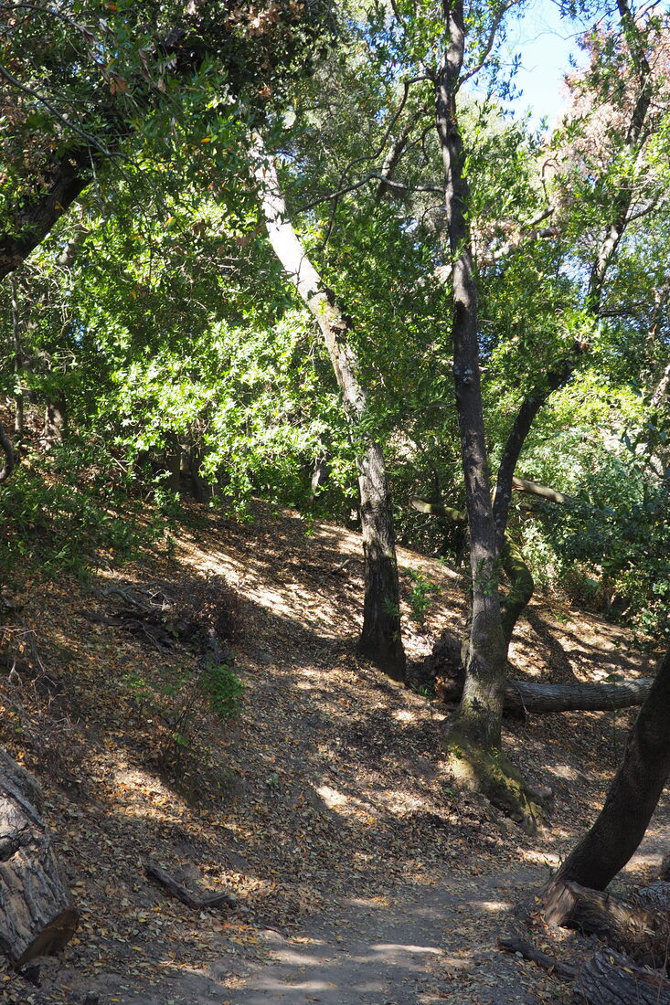
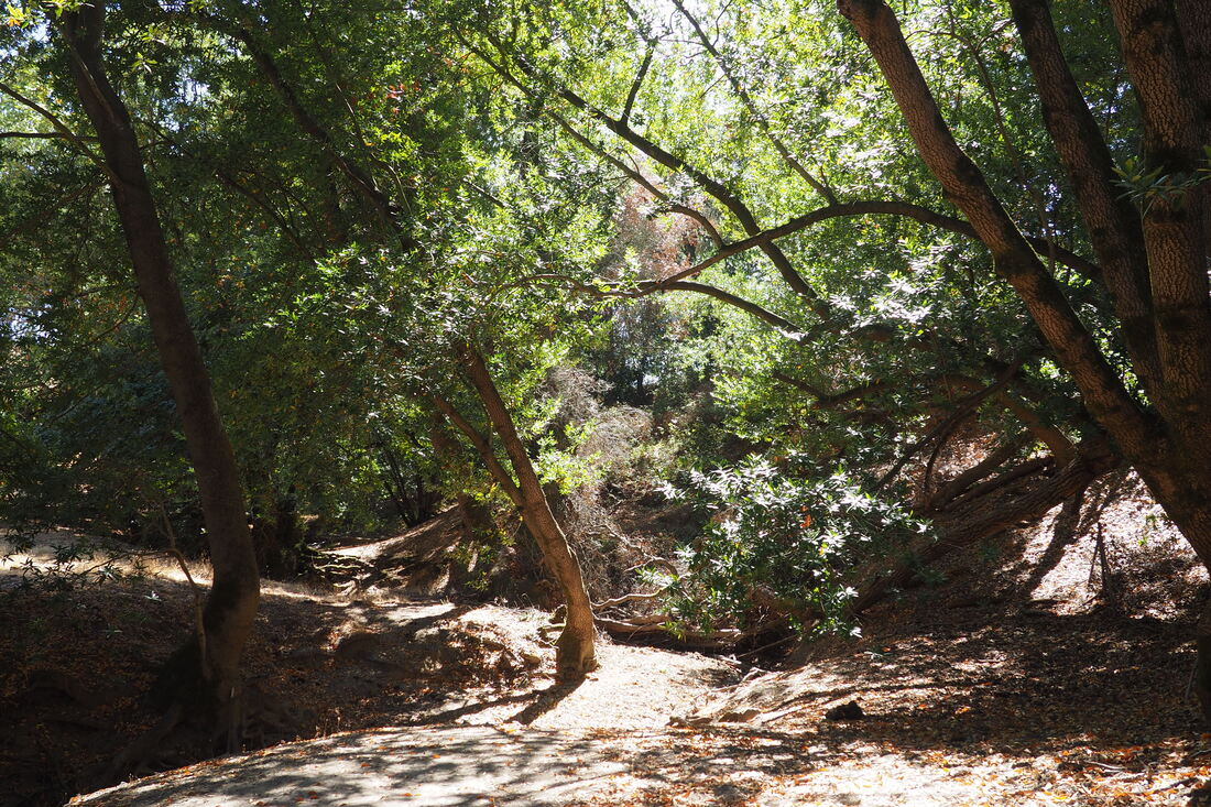
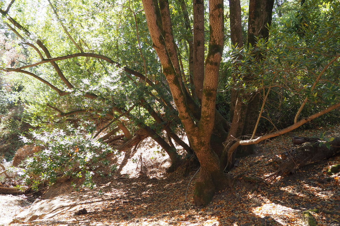
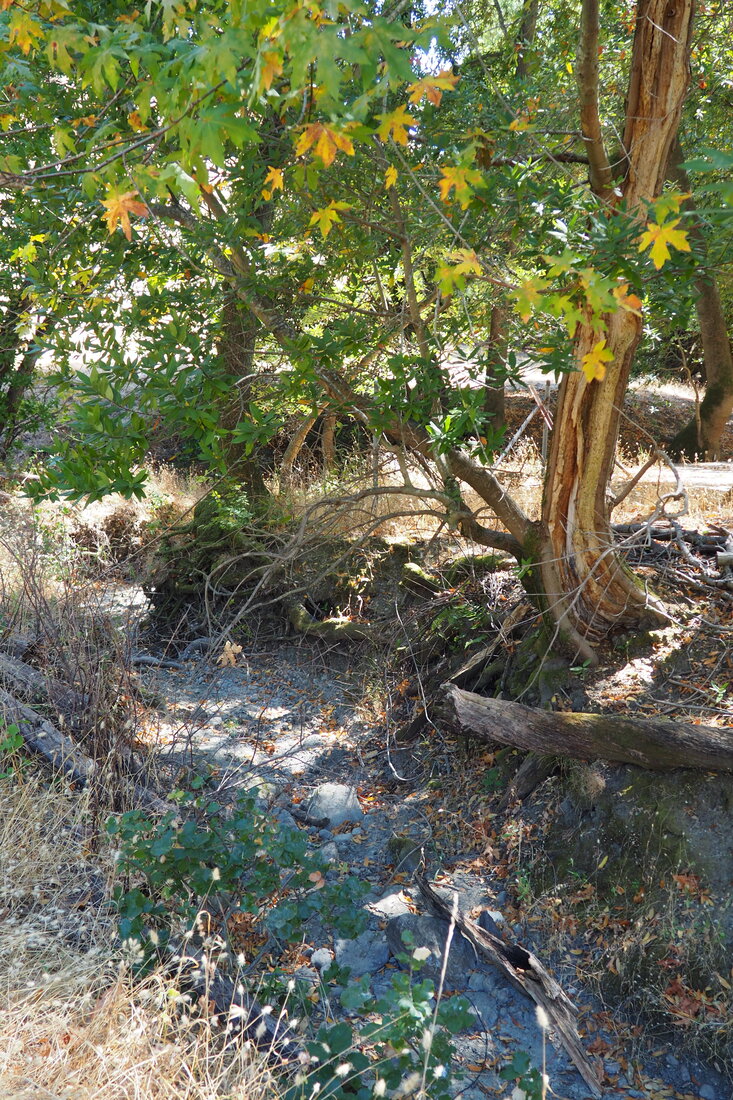
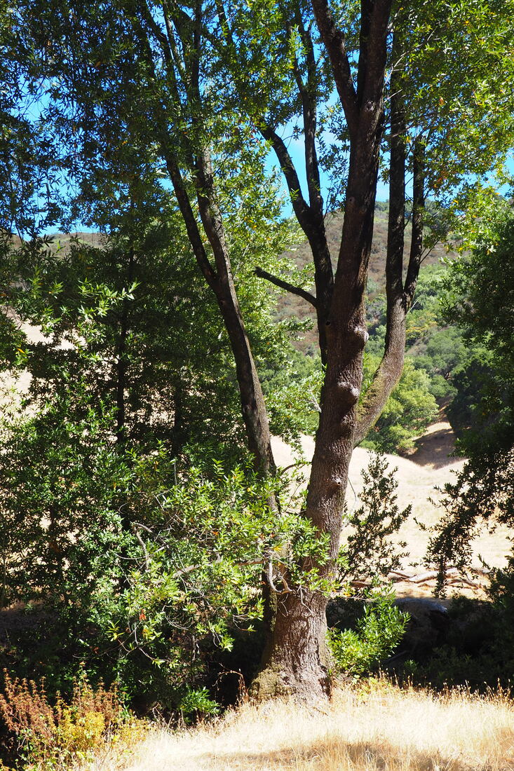
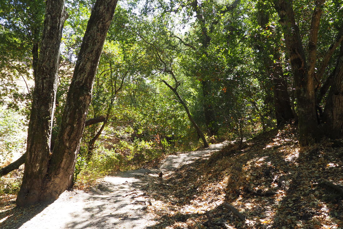
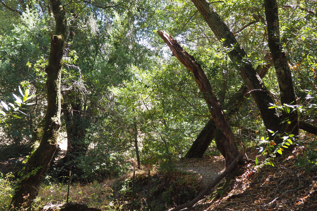
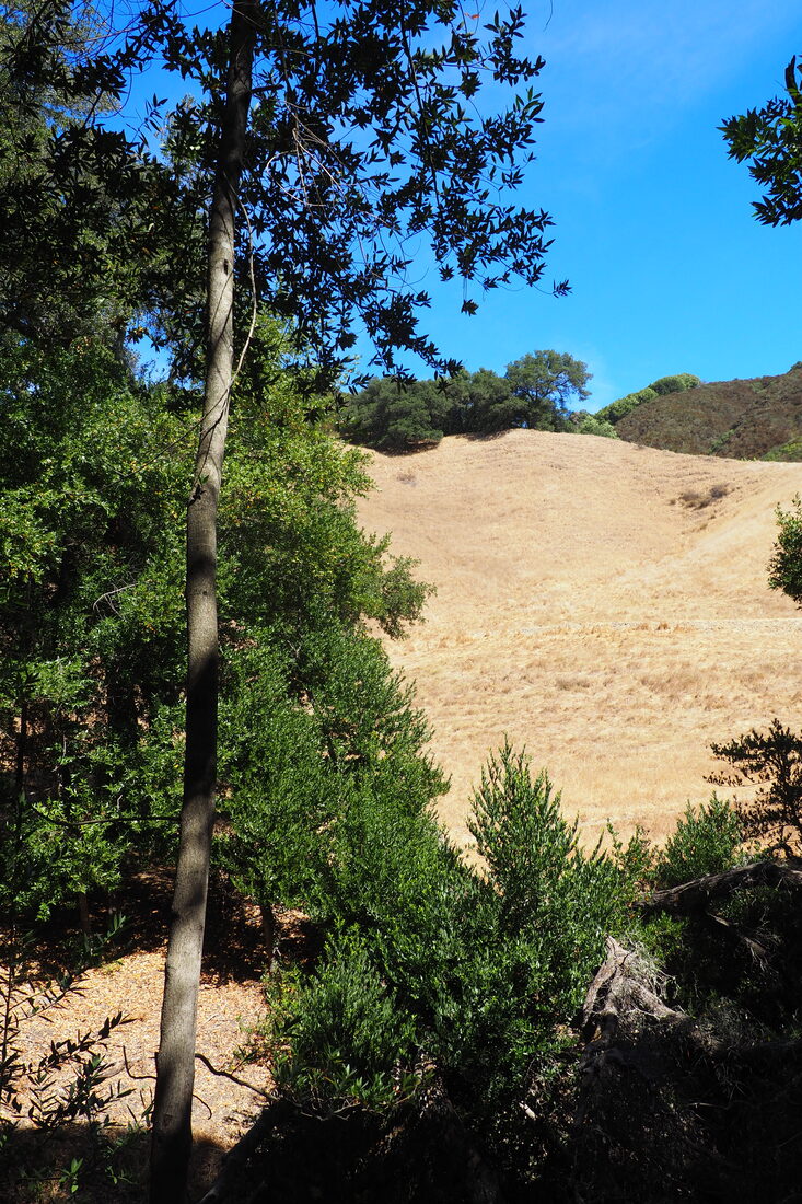
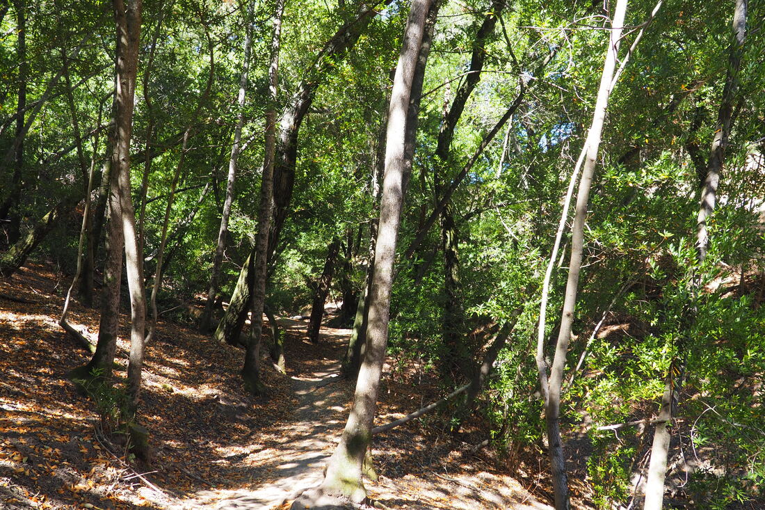
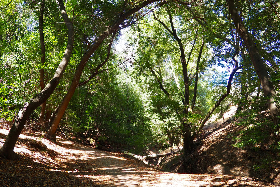
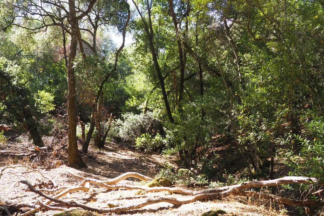
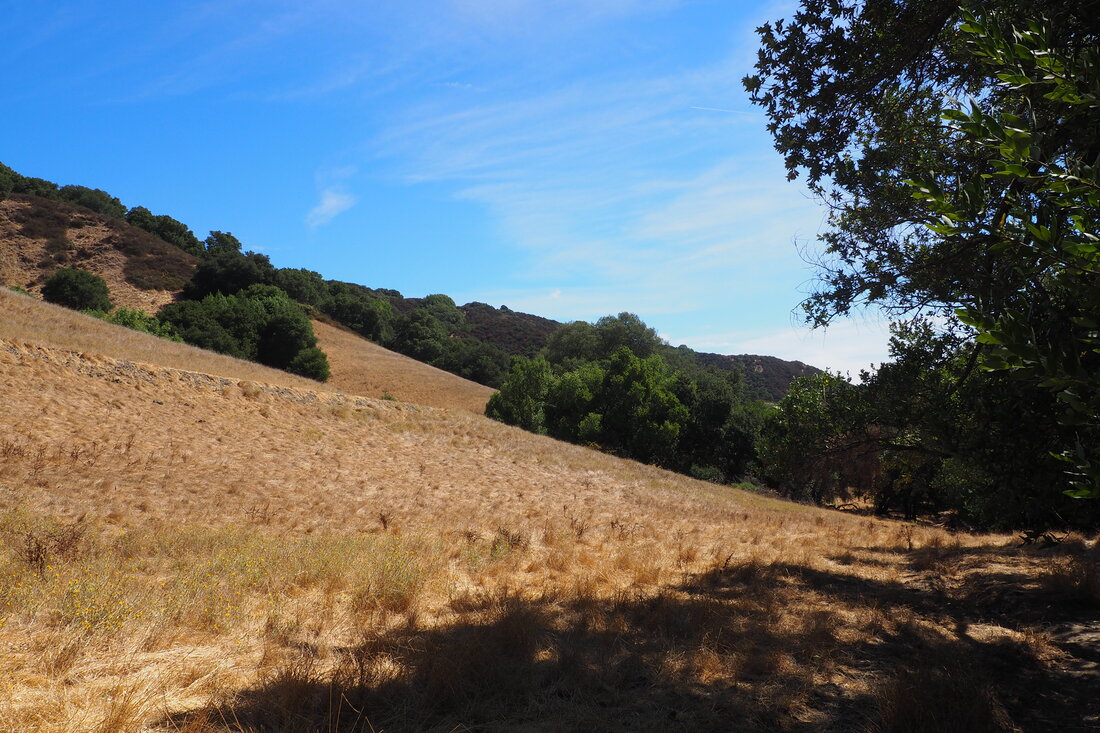
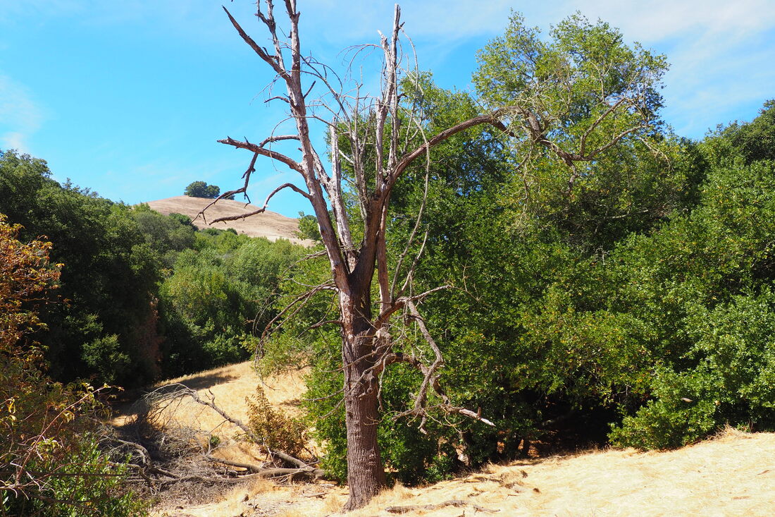
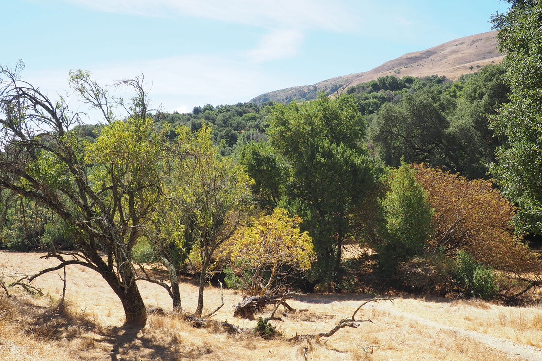
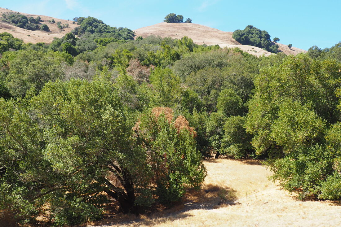
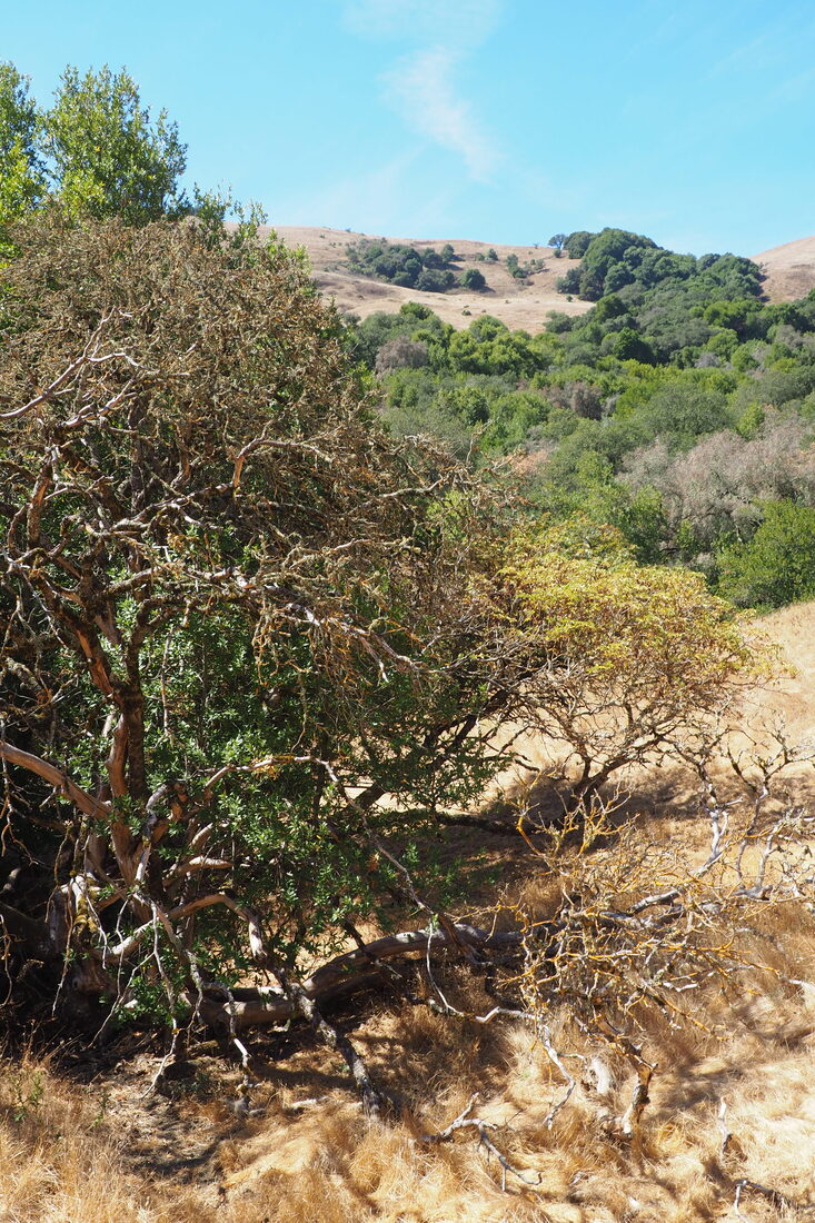
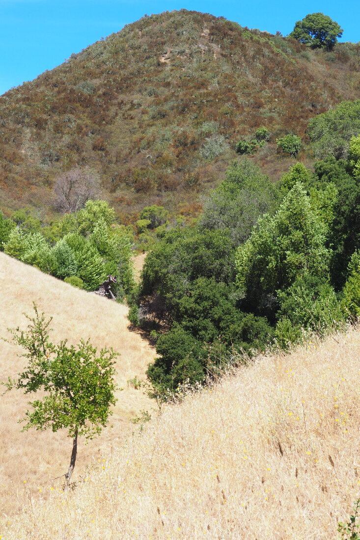
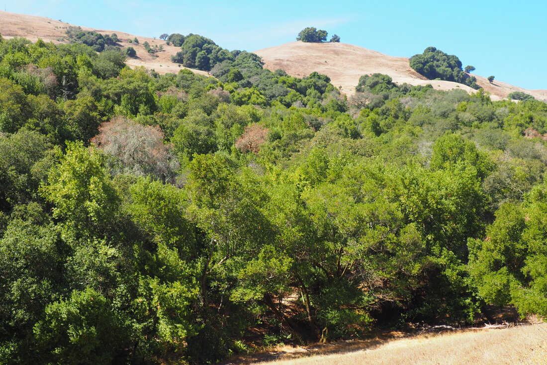
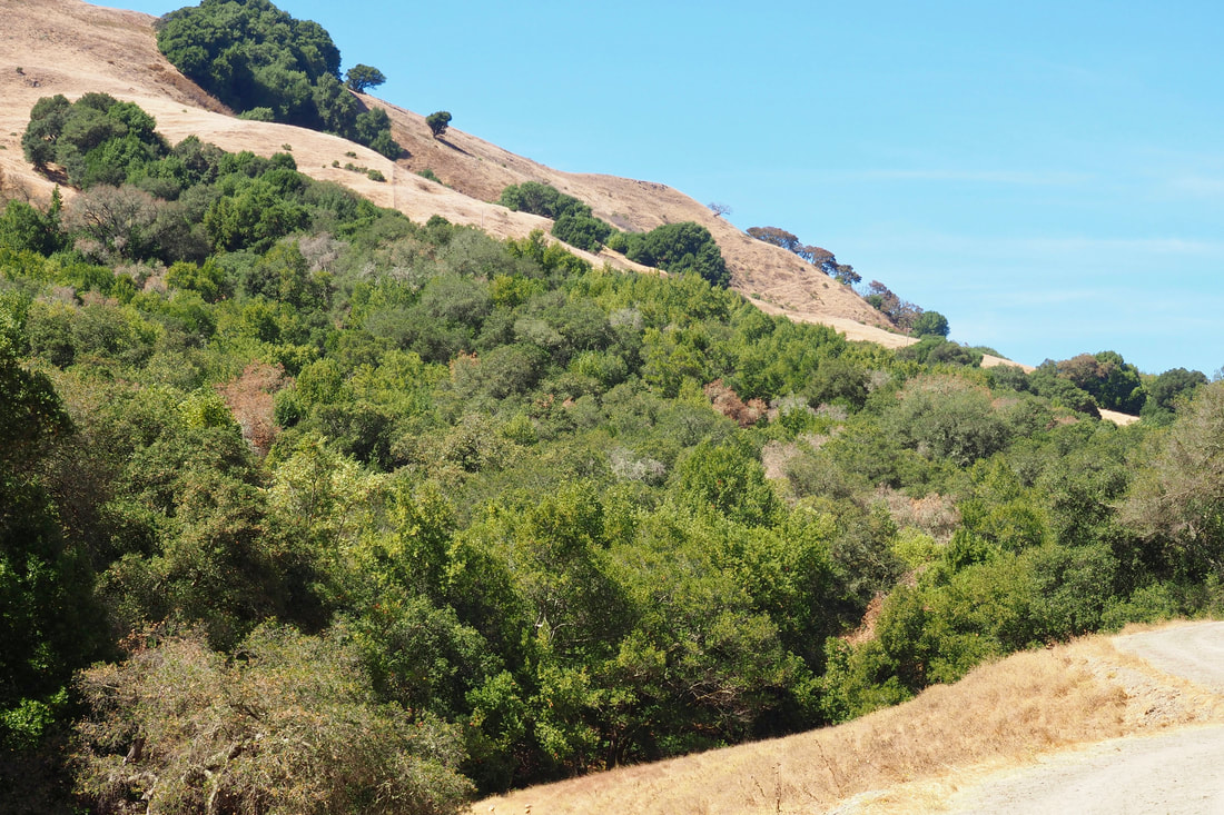
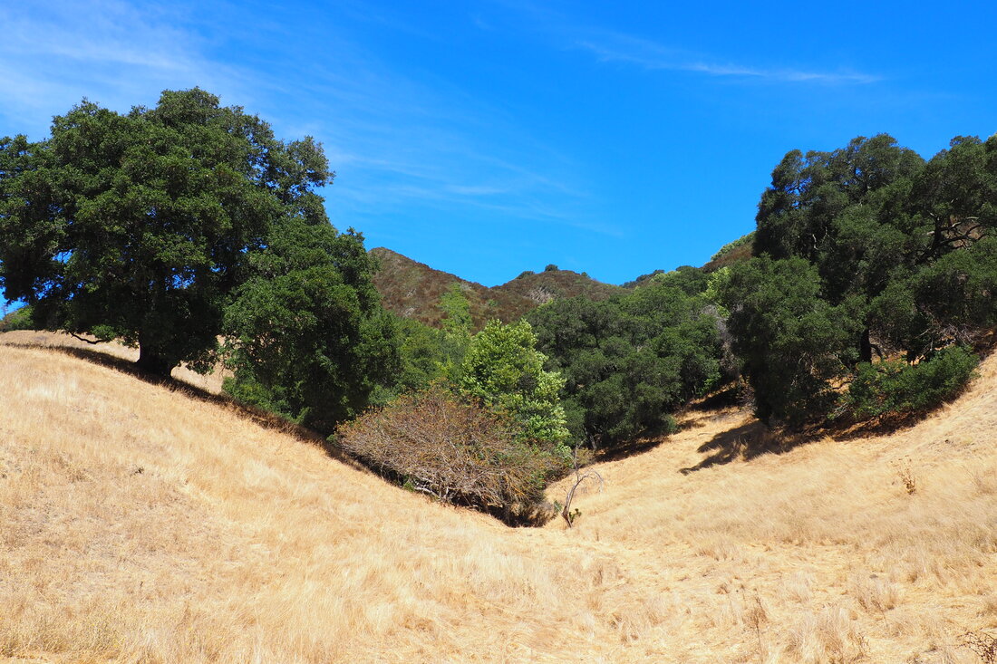
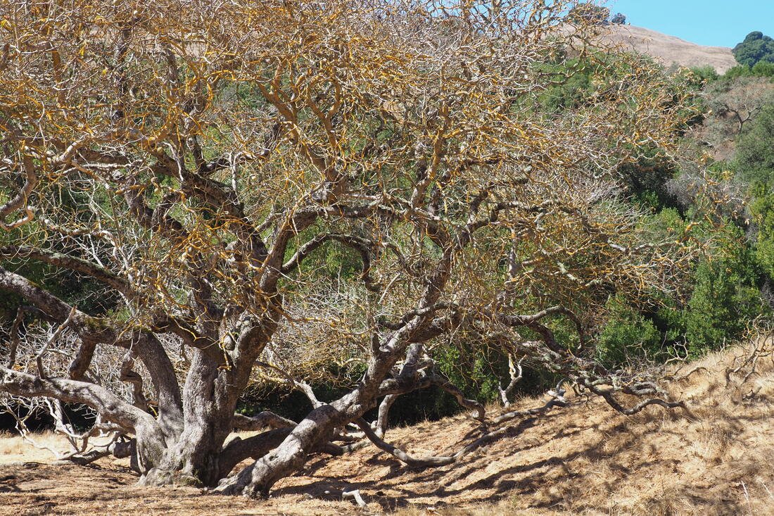
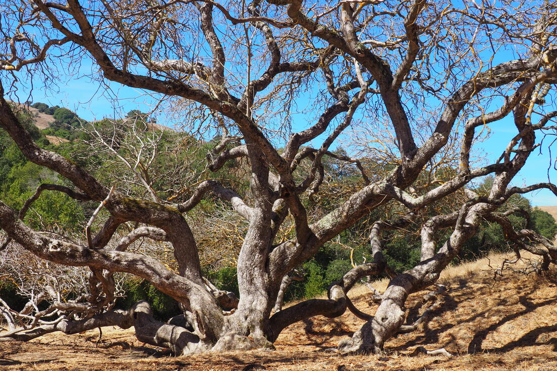
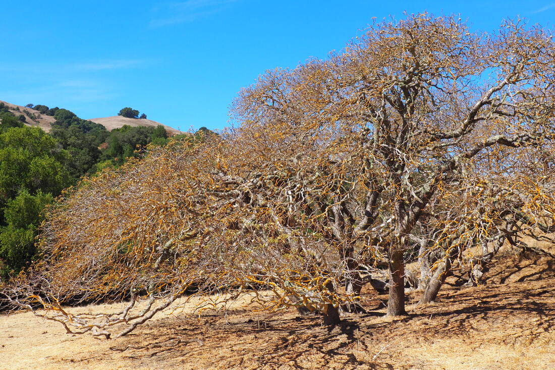
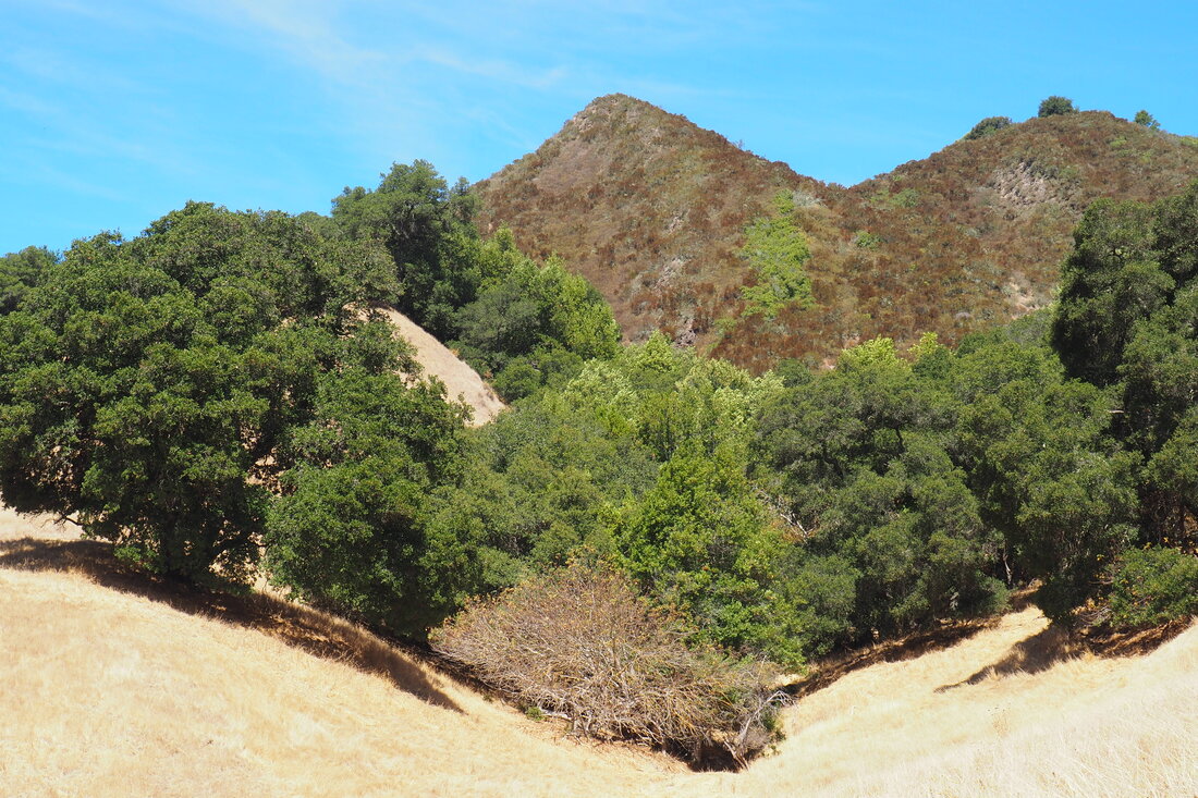
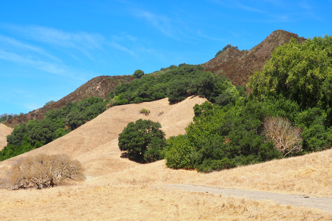
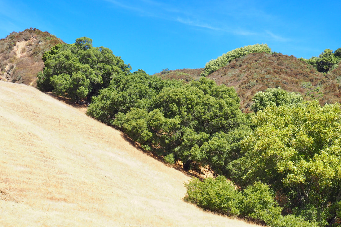
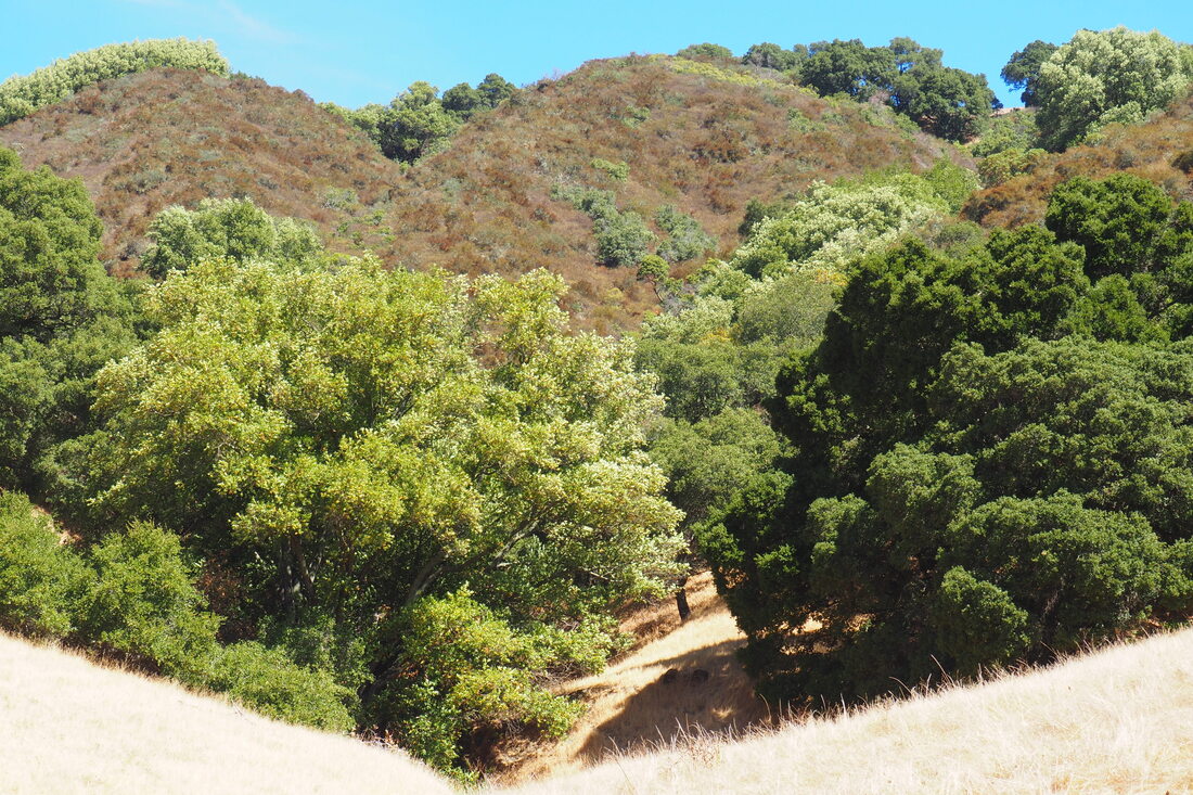
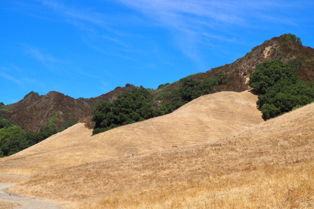
The route in red is the path that I took today in a clockwise direction from the staging area. I really recommend the direction that I took. Although the trail is relatively flat, the uphill portion--such as it was--was in the deep shade of the bay trees that grow along Bollinger Creek. The downhill portion was in exposed sun. It is just more pleasant to do an uphill portion of a hike in the shade.

The path along the shady creek was particularly beautiful, but I rather suspect that it gets SUPER muddy in the wet months. The path seemed to be hardened and dried mud. It was uneven in placed, as if it had retained its texture from cows getting their hooves partially stuck and then pulling them out of the mud. It was no problem today, but I imagine that when it's been raining that this path gets almost impassable from mud.

Today was a great day to visit--it felt like a nice, crisp fall day. The only drawback was that Bollinger Creek was almost completely dry. I think that the ideal time to visit Las Trampas must be in late spring or early summer, when the hills are green and the flowers are blooming, but the rains have stopped and the ground has started to dry. I definitely plan on coming back here to explore deeper into the park. As you can see here (full map of the park), I really only scratched the surface today. Next time, I am particularly interested in doing the Rocky Ridge View-Sycamore-Devil's Hole-Cuesta Loop (about 6.4 miles, ~700 ft elevation gain).
0 Comments


Leave a Reply.

    Archives

    December 2020
    November 2020
    October 2020
    September 2020
    August 2020
    July 2020
    June 2020
    May 2020
    April 2020
    March 2020
    February 2020
    January 2020
    December 2019
    November 2019
    October 2019
    September 2019
    August 2019
    July 2019
    June 2019
    May 2019
    April 2019
    March 2019
    February 2019
    January 2019
    December 2018
    November 2018
    October 2018
    September 2018
    August 2018
    July 2018
    June 2018
    May 2018
    April 2018
    March 2018
    February 2018
    January 2018
    November 2017
    October 2017
    September 2017
    August 2017
    April 2017
    March 2017
    February 2017
    January 2017
    November 2016
    October 2016
    September 2016
    August 2016
    July 2016
    June 2016
    May 2016
    April 2016
    March 2016
    February 2016
    January 2016
    December 2015
    November 2015
    October 2015
    September 2015

    Categories

    All
    Art Expedition
    Bay Laurel Trees
    Bayside
    Beaches
    Berkeley City Parks
    Bureau Of Reclamation
    Camping
    Cliffs
    Coastside
    Contra Costa Water District
    Creeks
    Deserts
    East Bay Municipal Utility District
    East Bay Regional Park District
    EBRPD Trails Challenge
    Eucalyptus
    Flat Hikes
    Gulf Coast Family Vacation
    Historical Sites
    Kid Friendly
    Lakes
    LARPD
    Length: 10 To 15 Miles
    Length: 15+ Miles
    Length: 1 To 5 Miles
    Length: 5 To 10 Miles
    Madrones
    Manzanita
    Maples
    Marin County Parks
    Midpeninsula Regional Open Space Preserves
    Mountains
    Museums
    National Forest Service
    National Parks
    National Wildlife Refuge
    Oakland City Parks
    Oaks
    Palo Alto & Atherton Parks
    Peninsula Open Space Trust
    Pleasanton City Parks
    Portola Valley Town Trails
    Redwoods
    Rocks
    San Francisco City Parks
    San Mateo County Parks
    Santa Clara County Parks
    Santa Cruz City Parks
    Sierras
    Stanford
    State Parks
    Swimming Holes
    Sycamores
    Trains
    Tri-Valley
    UC Berkeley
    UC Davis
    Walnut Creek Parks
    Wetlands
    Wildflowers
    Wildlife
    Zoos Farms & Wildlife Preserves

    RSS Feed

Powered by Create your own unique website with customizable templates.
  • Home
  • About
  • Regions
  • Parks
  • Trails
  • Photography