 Butano State Park is a one of my favorite parks. I have been on Butano streak, as you will see after the jump! Three Trails at Butano
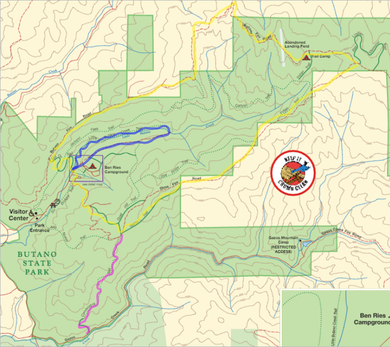
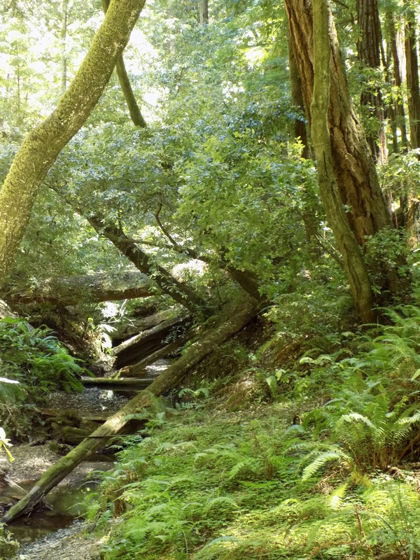
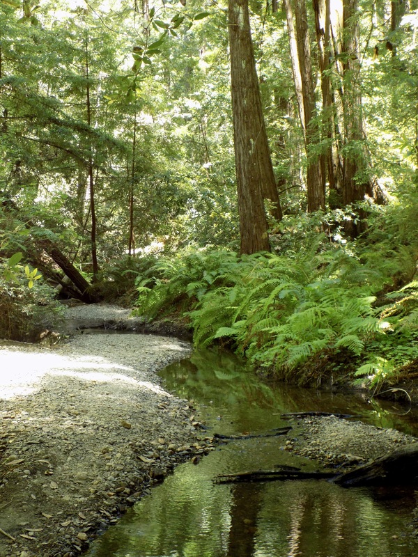
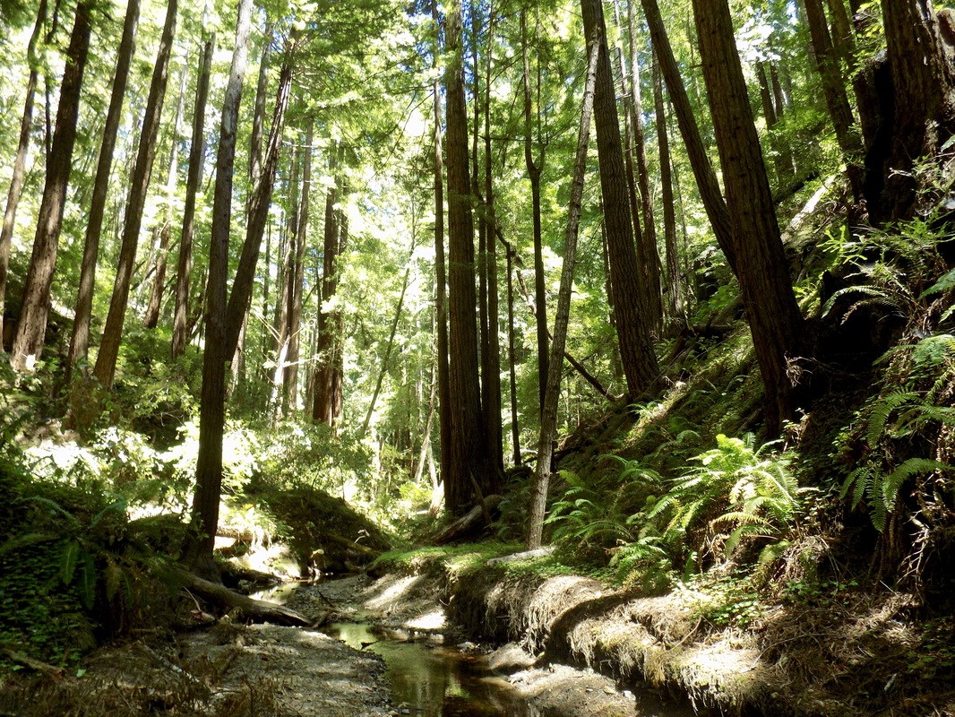
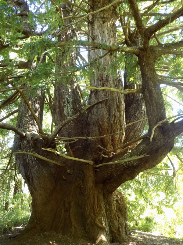
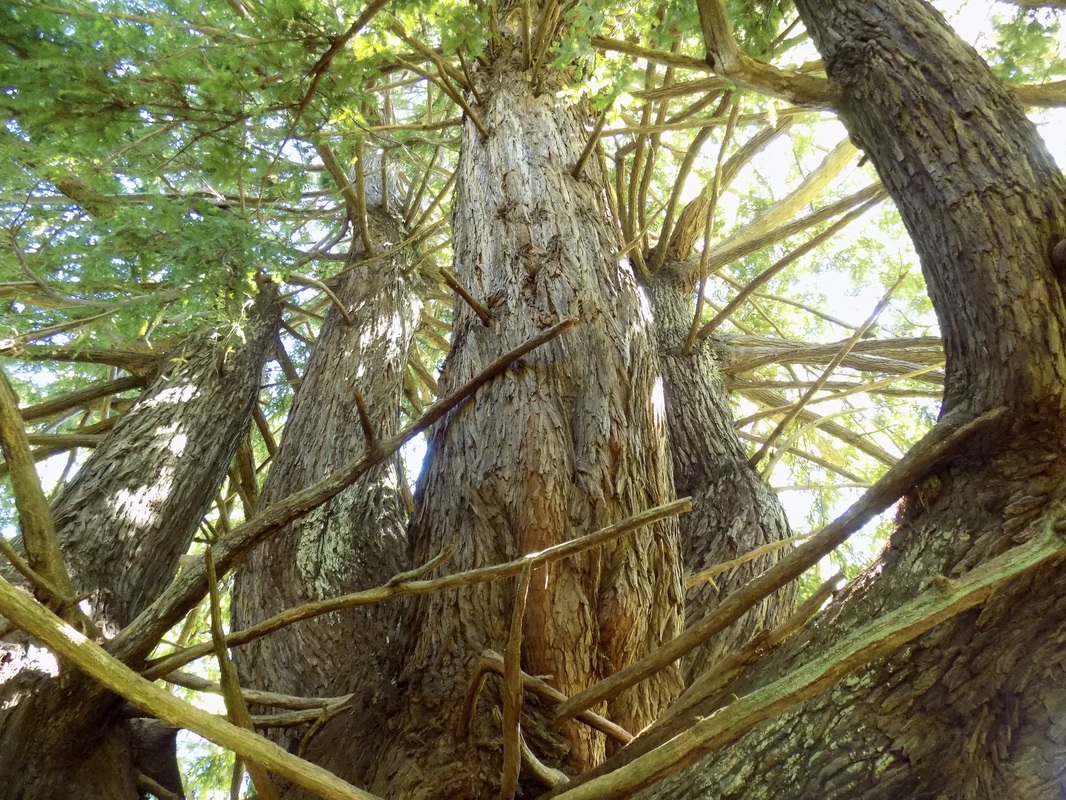
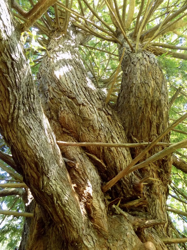
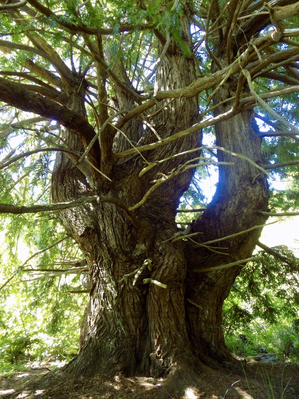
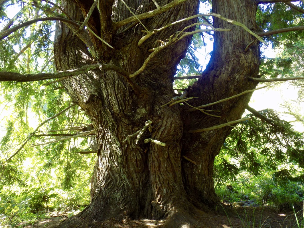
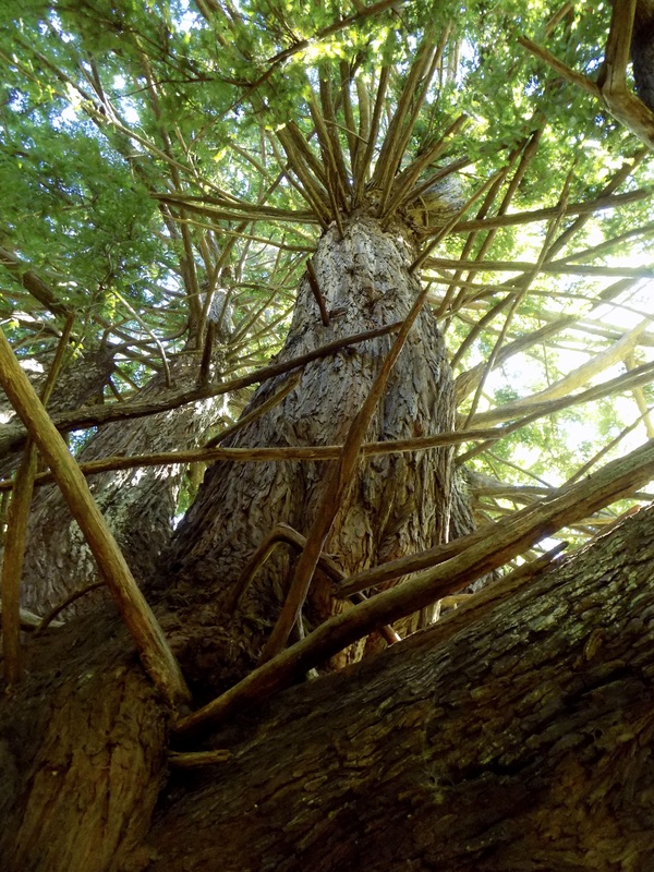
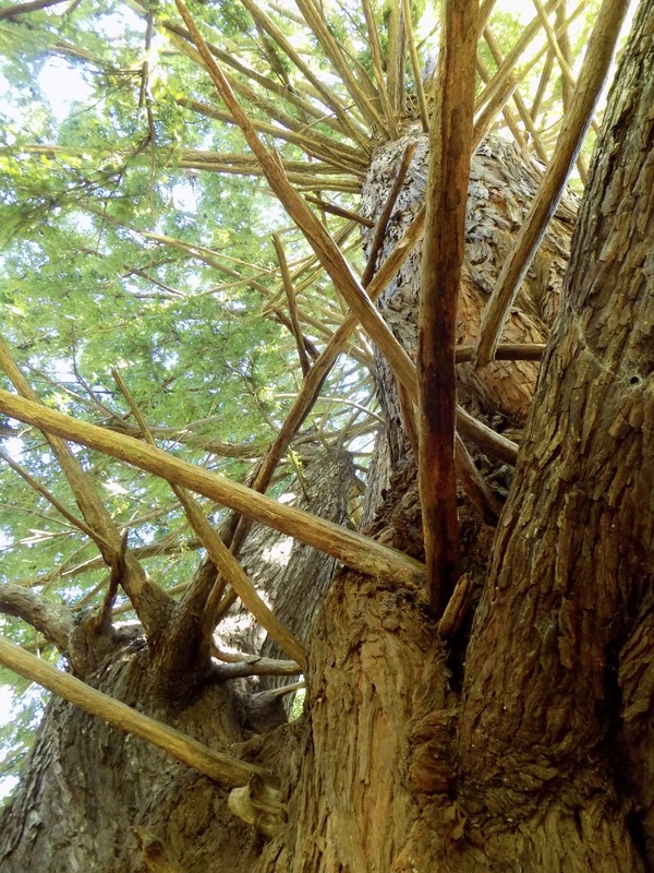
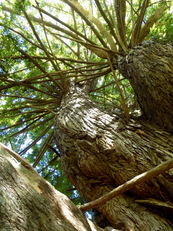
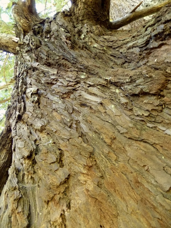
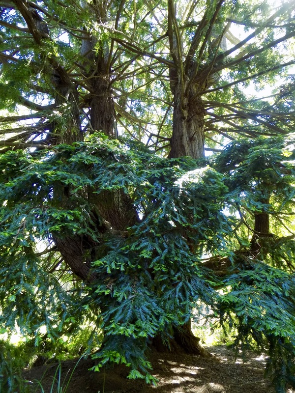
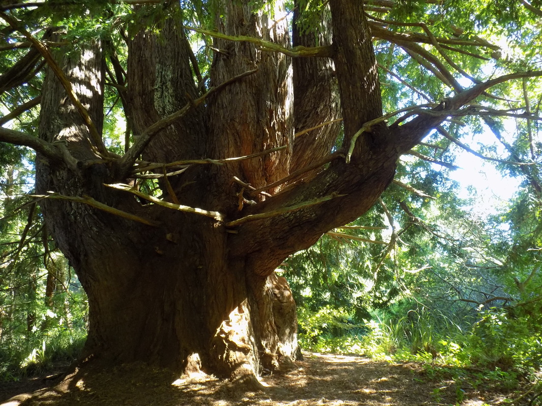
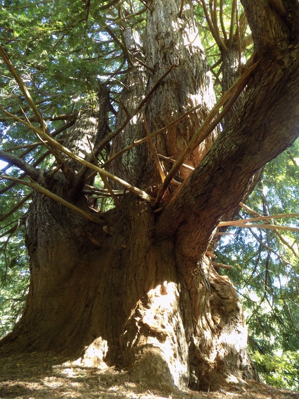
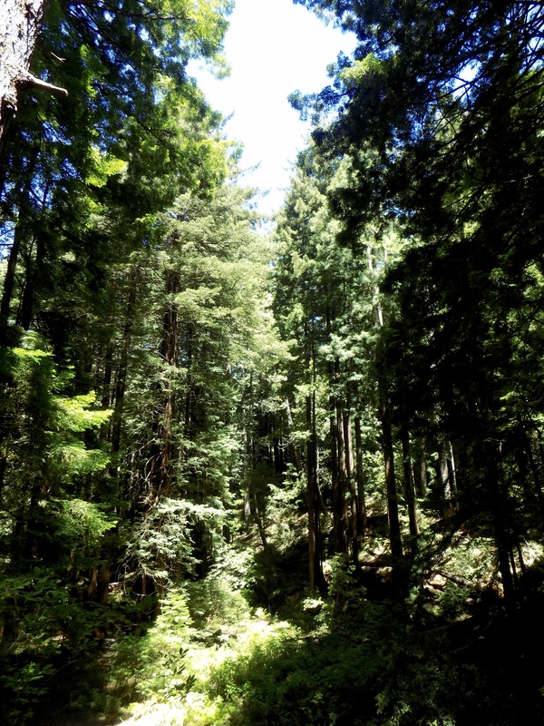
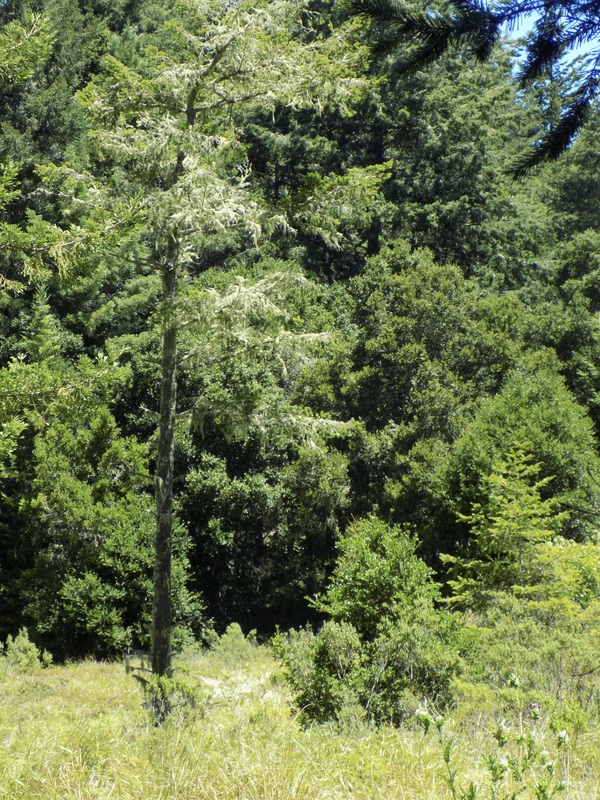
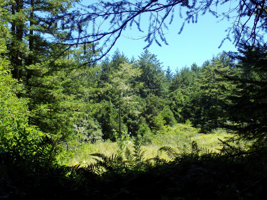
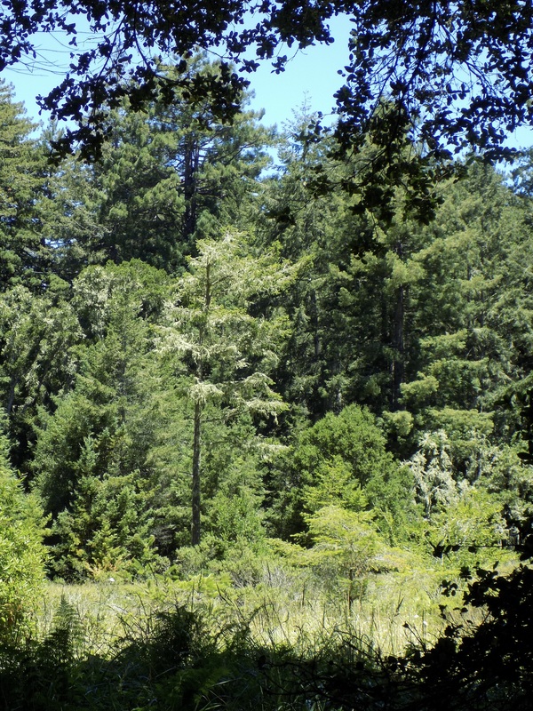
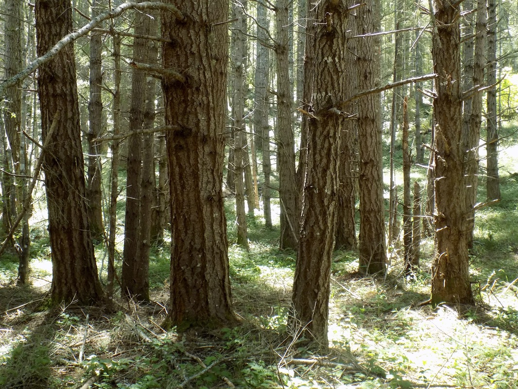
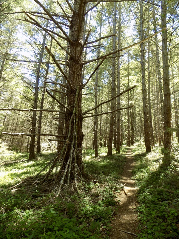
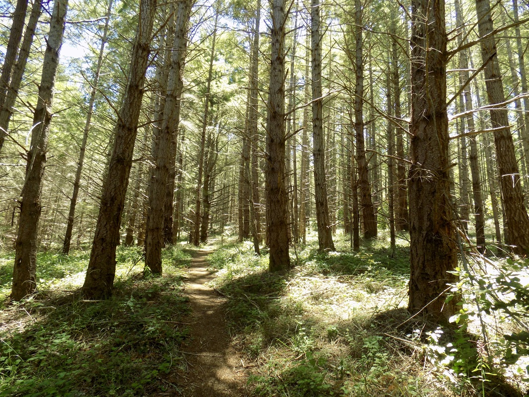
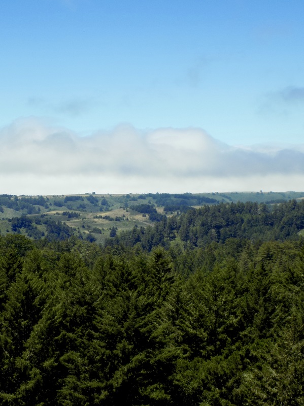
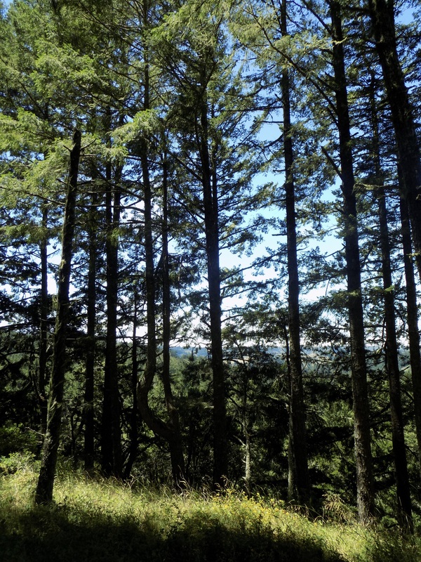
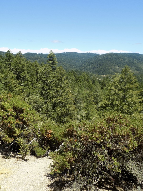
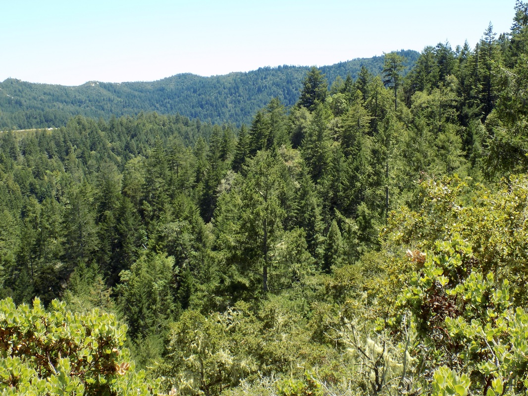
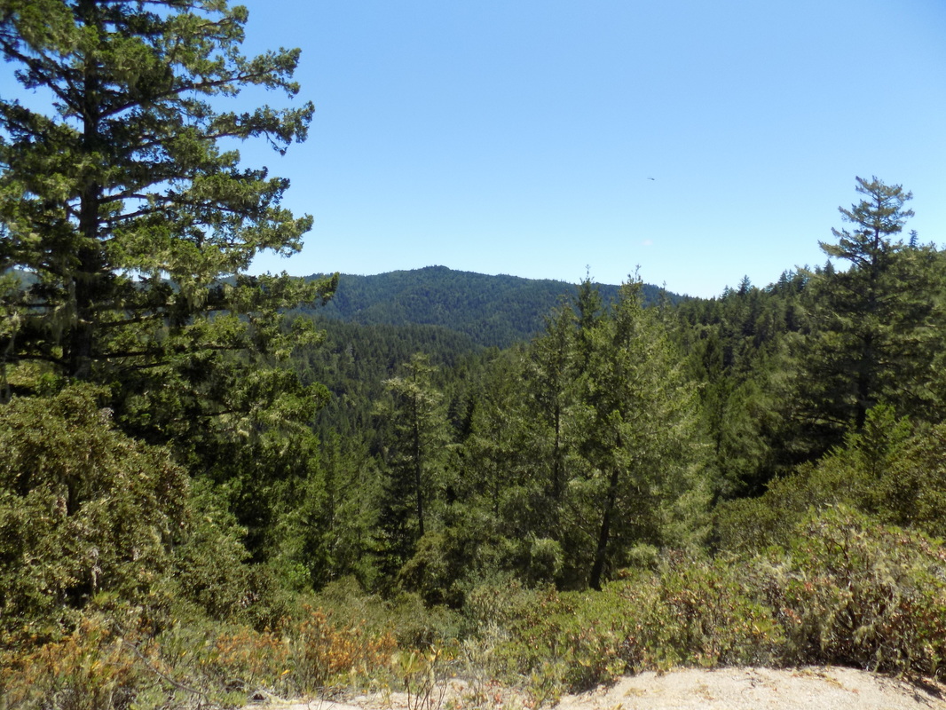
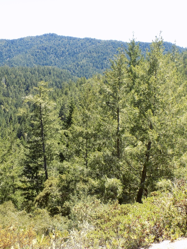
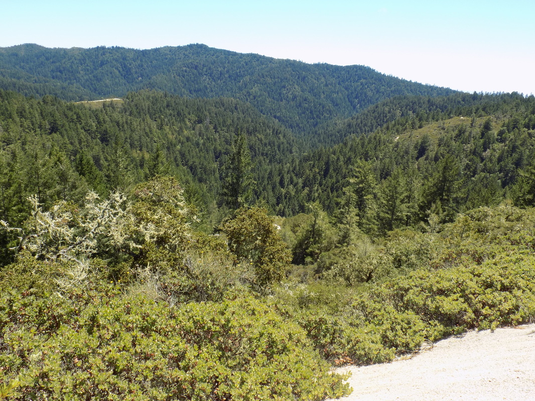
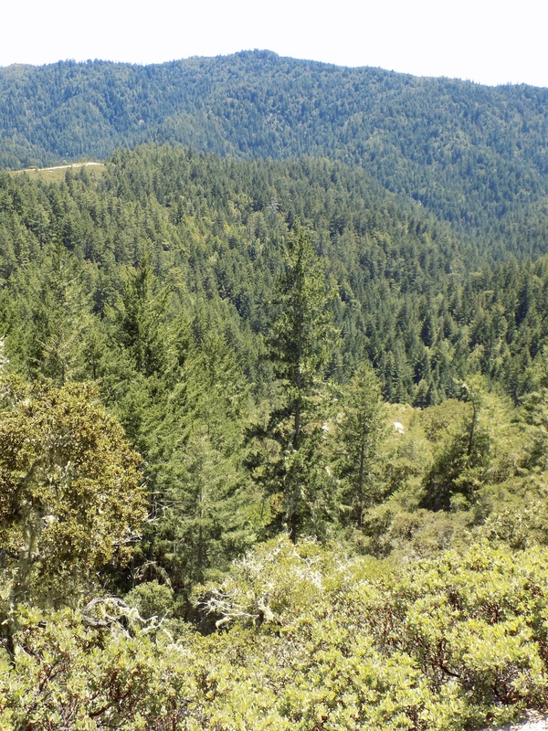
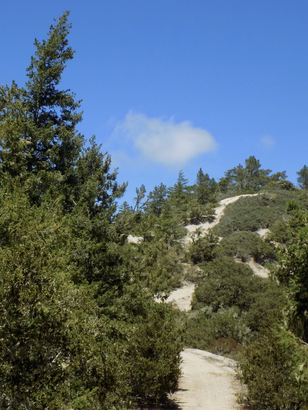
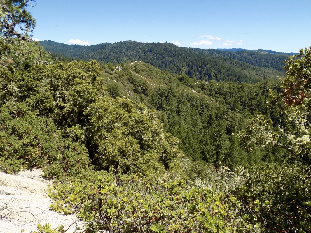
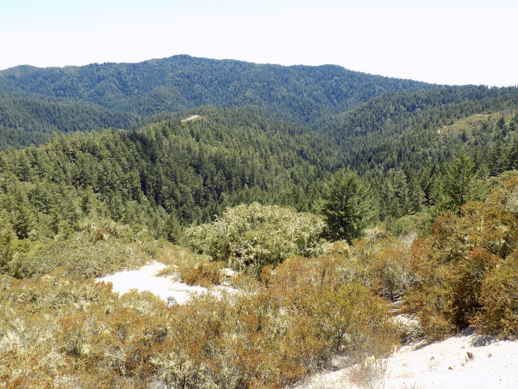
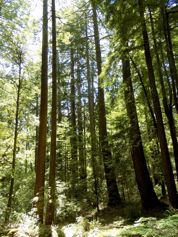
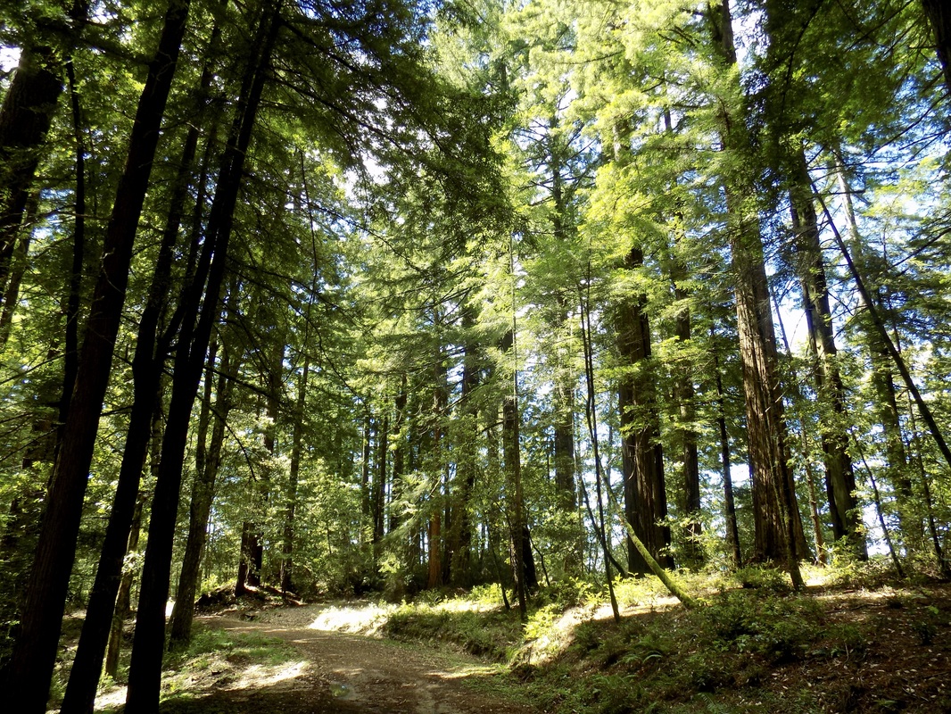
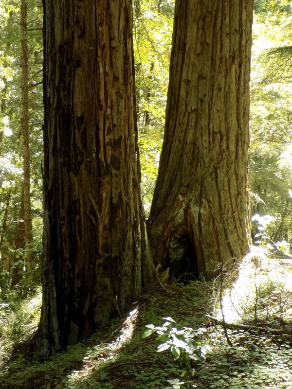
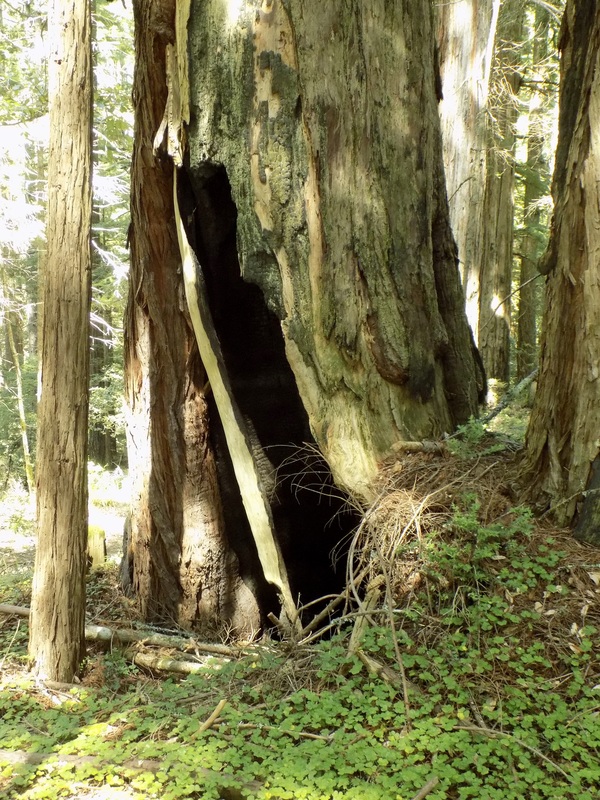
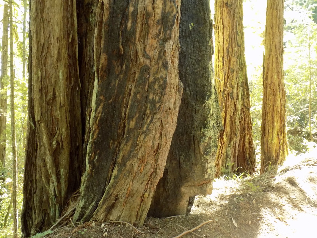
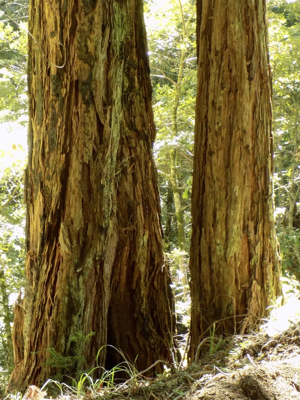
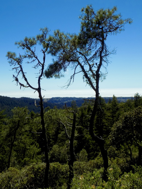
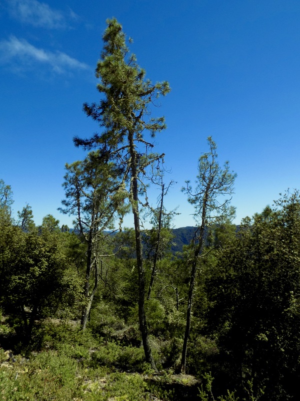
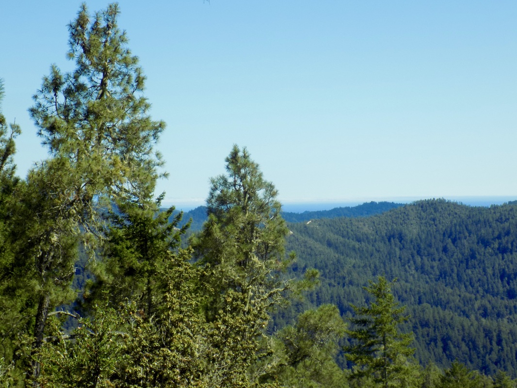
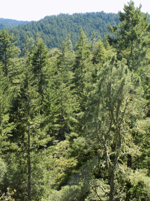
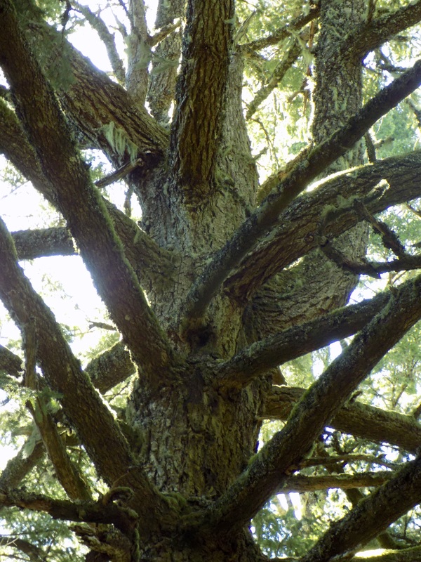
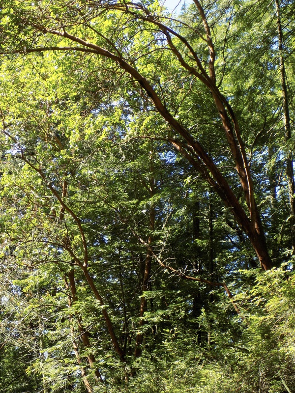
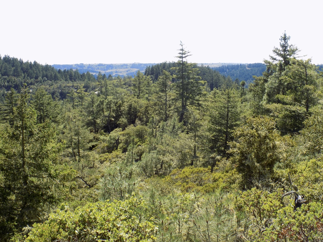
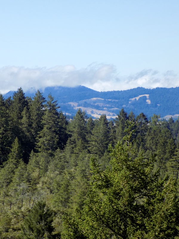
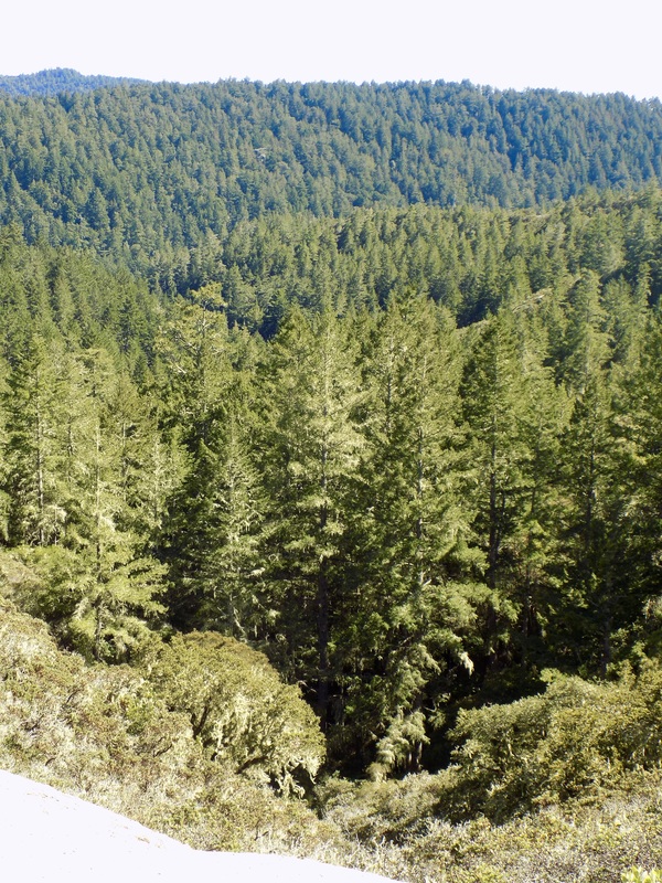
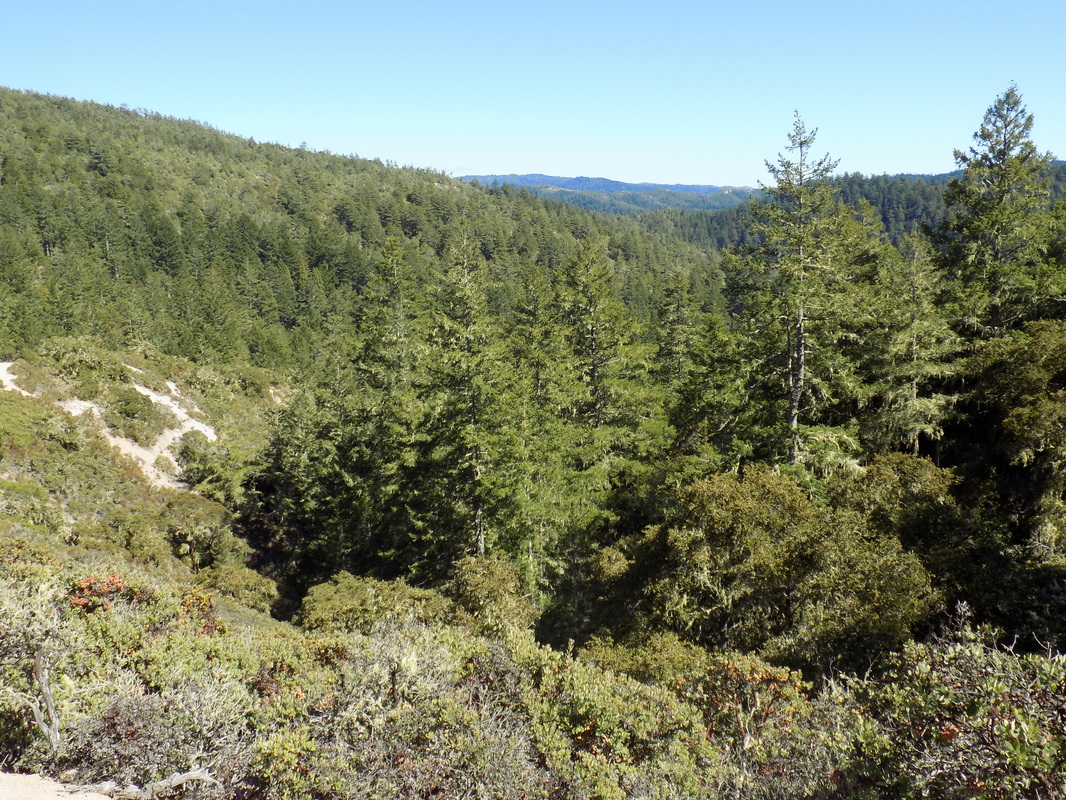
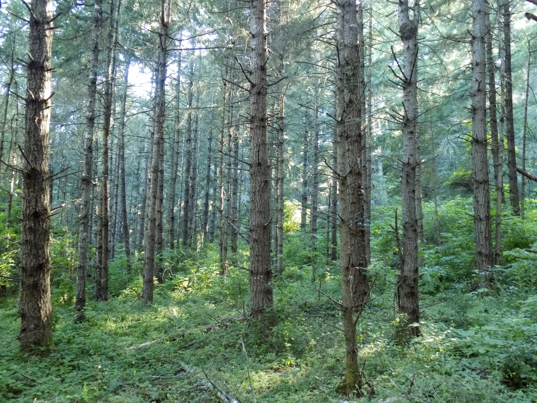
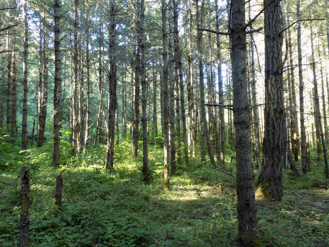
Little Butano Creek Trail This loop is a shorter variation (about 3 miles) of the loop that I made the first time that I visited Butano. I parked near the pull-out parking along the campground road, where it intersects with Olmo Fire Road. I access the Little Butano Creek Trail from the main campground road and followed that trail to where it ends, at a small structure that looks like it either currently houses or once housed a small electrical generator. Then, instead of returning to the parking area by going to the Goat Hill area of the park, I just took the park road back toward Ben Ries Campground. The redwoods along the creek are really lovely. Candelabra Tree This in-and-out 4-mile (roundtrip) trail is a mixed bag. The majority of the trail is rather boring, and the trail is overgrown in places with both poison oak and stinging nettle. But, one mile into the trail, there is a hidden old-growth redwood that is truly spectacular. It is the best tree in the park, and one of the best redwoods in the San Francisco Bay Area. The tree is not on the state park map at all. I never would have known about it, except that a local bartender at Duartes told me that this was a can't-miss tree. I am so grateful that he did! It really is a hidden gem. I parked my car on Gazos Creek Road, which is outside of the park's boundaries, and walked uphill on Candelabra Trail. When the trail forks, without any sign posting, take a left for just a short jag to get to the Candelabra Tree. You can continue up to the end of the Candelabra for another mile, or you can just go back to your car to cut the hike short. You can also access the tree from the main part of the park. Go to where the Goat Hill and Año Nuevo Trails intersect with Olmo Fire Road. Look south to see the Gazos and Candelabra Trails. The Gazos Trail is the unmarked trail that heads uphill and the Candelabra Trail heads towards a fence before going downhill. Follow the Candelabra Trail for about a mile and then veer to the right at the fork. No matter which approach you take, make sure to avoid brushing against the undergrowth as much as possible. I recommend that you wear long pants. I managed to avoid both the poison oak and the stinging nettle, but it was a somewhat stressful hike. Olmo and Butano Fire Roads Loop This 12-mile hike is a longer version of my second hike at Butano State Park. Even though it's only an additional two miles in distance, it is significantly more strenuous because of the additional elevation gain to get up to the top of the ridge. I started from the parking pull-out area off the main park road near the entrance to Olmo Fire Road. I took Olmo Fire Road uphill, but then veered off to Goat Hill Trail to go by the alpine meadow and the young forest of Douglas Firs (which my husband and I have dubbed the Haunted Forest). When the trail got to the tee I went to the right and followed the trail uphill where I was able to access Gazos Trail. Gazos Trail is a steep ascent along a ridge, and it offers gorgeous views of the surrounding mountains. There was fog over the ocean, but I think that on a clear day you would be able to see the Pacific from this trail. At the end of Gazos Trail, I continued on the Olmo Fire Road until its end. Once you pass the intersection of Doe Ridge and Olmo, the landscape changes; you exit the shady mixed forest and enter the chaparral area of the park. It is very sunny here, and I wished that I had brought sunglasses with me; however, it offers spectacular views of the surrounding mountains all the way to the ocean. Olmo Fire Road goes on for what seems like a really long time, and it is a hard ascent that is mostly in the bright sun. By the time you get to the intersection with Butano Fire Road, you will pass out of the chaparral area and back into the redwoods. Ridgetop redwood forests are different than creekbed forests in a valley. The forest is much airier and brighter on a ridgetop. It is really beautiful to see. There is a one-mile loop to explore near this intersection (the Ray Linder Memorial Trail), but I was too exhausted from the climb to attempt it. The redwoods along this ridge are quite lovely, and some of them even look like they could be quite old. There are a few back-country campsites here, which looked really nice. I bet that it's mostly the campers who actually try the Ray Linder Memorial Trail. Butano Fire Road was very well graded all the way to the Mill Ox Trail. It was a pleasant hike to do downhill: not too hard on the knees. It is also very sunny, another chaparral ecosystem filled with manzanita trees laden with moss, scurrying fence lizards, open views of the mountains, and chalky Santa Margarita sandstone. It does eventually descend into the shade of a mixed redwood forest once you pass the intersection with the Jackson Flats Trail. I stayed on the well-graded Butano Fire Road to Mill Ox. Mill Ox passes through another "haunted forest" and then descends sharply into the valley made by Little Butano Creek. From here, I was able to get back to my car. Overall this was a very nice hike, but I think that the shorter 10-mile version is more to my preference. The additional climb to the top of the ridge made the hike more work than fun.
0 Comments
Leave a Reply. |
Archives
December 2020
Categories
All
|


 RSS Feed
