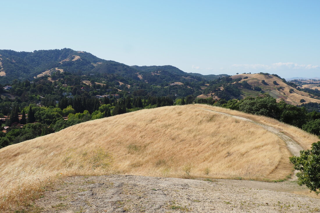
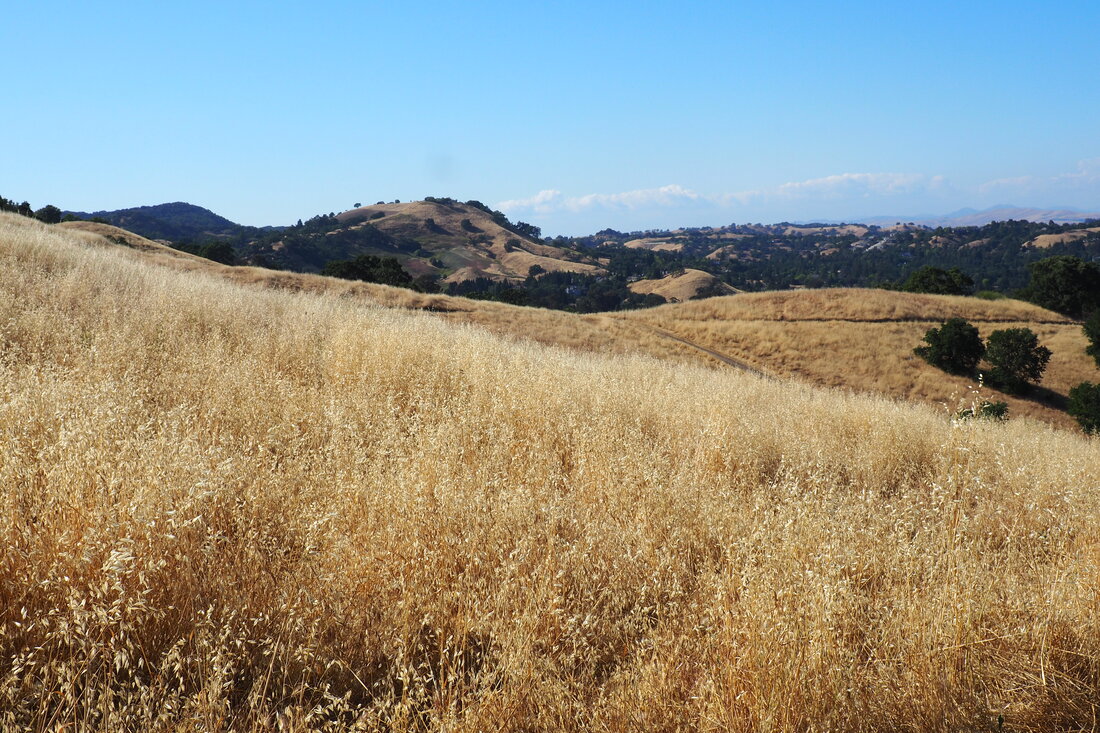
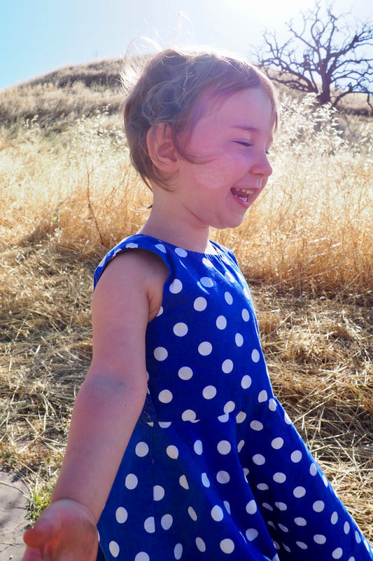
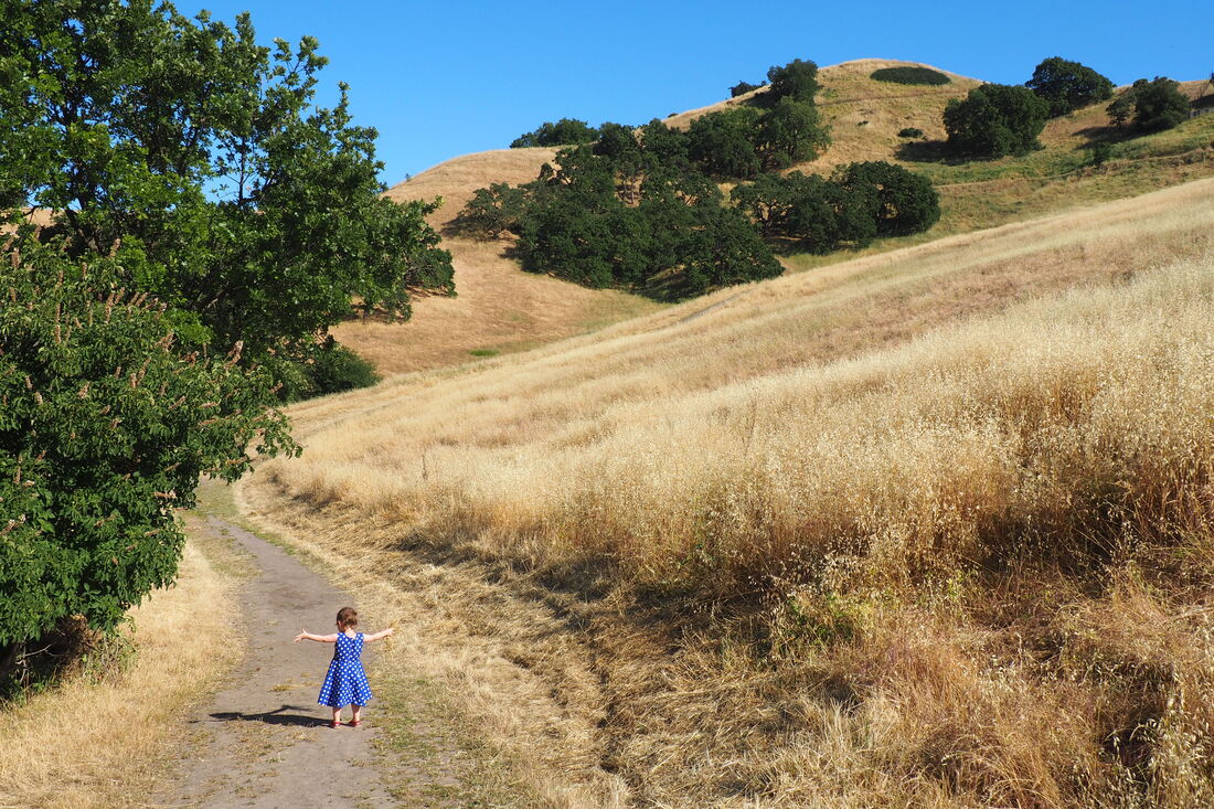
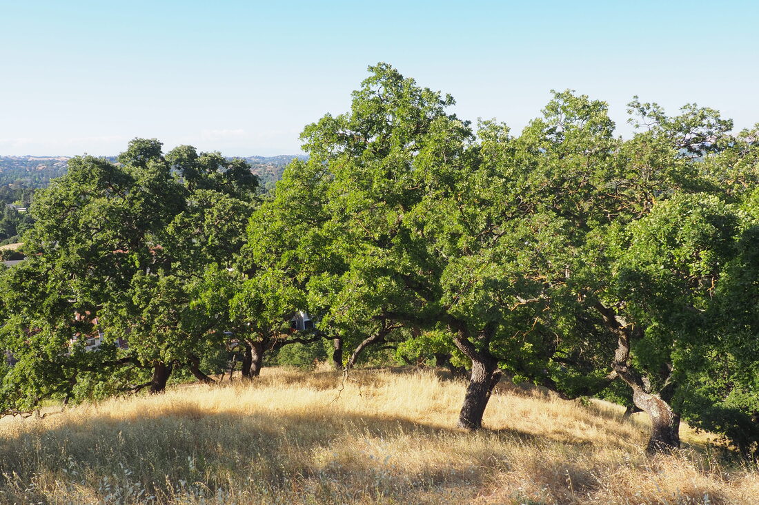
 Acalanes Ridge Open Space in Walnut Creek is a relatively small park that serves as an important connection in the greenbelt between Walnut Creek and Lafayette. This makes it feel bigger than it actually is. There are some impressive 360° views from the top of the Ridgetop Trail, but the hike is quite steep at parts. I enjoyed this 1.5-mile loop, but I think I would have enjoyed it much more if I had done it without bringing my young daughter. It was a bit of a roller coaster, both literally and metaphorically.
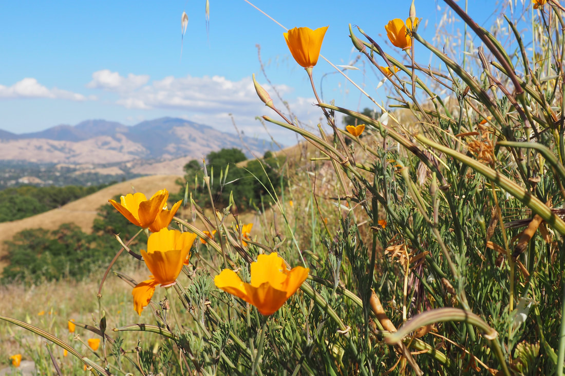
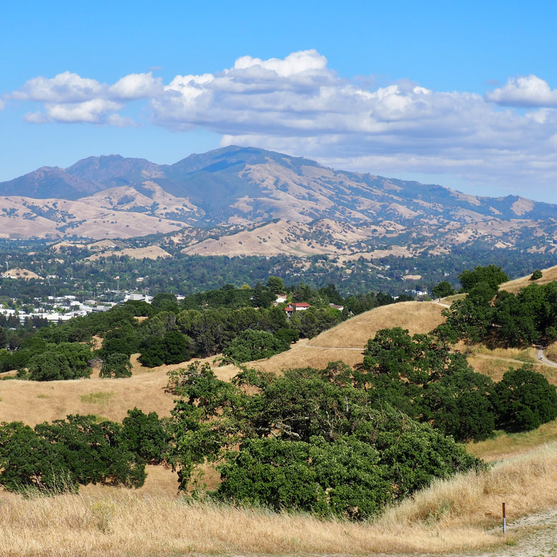
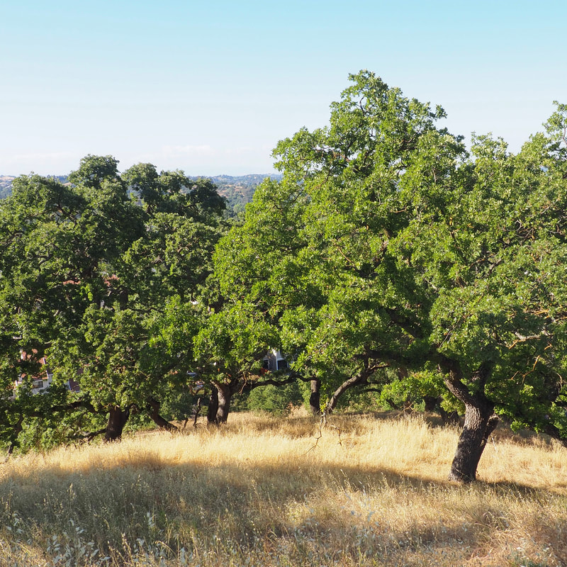
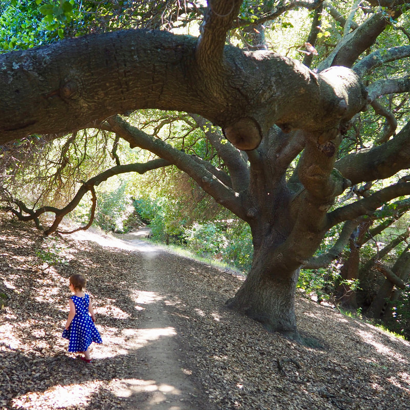
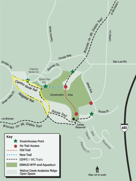
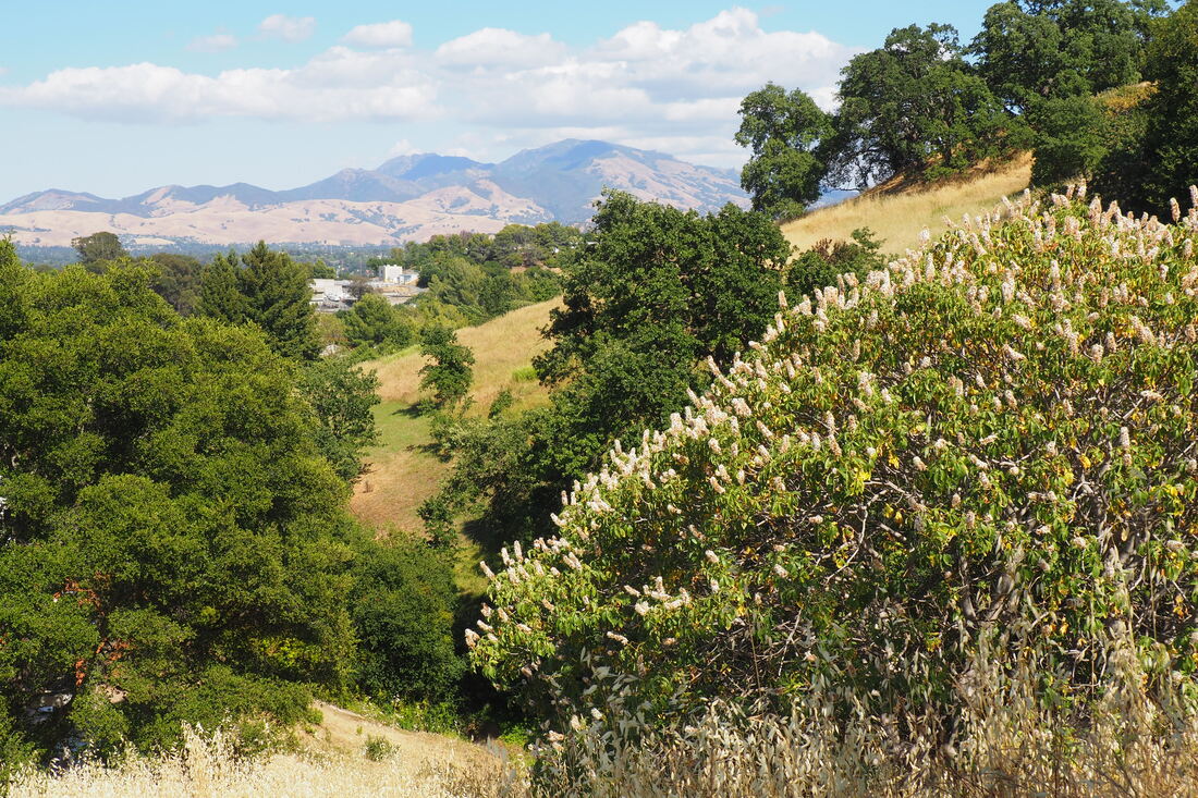
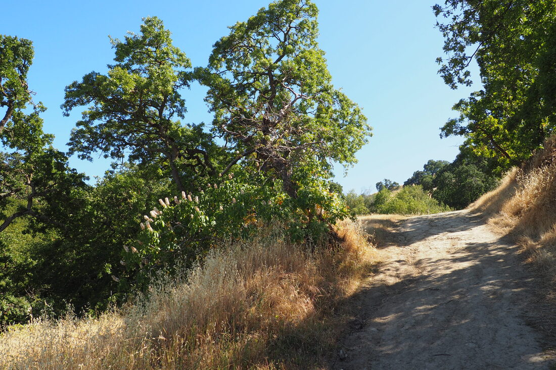
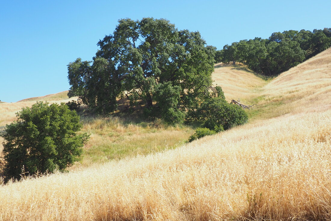
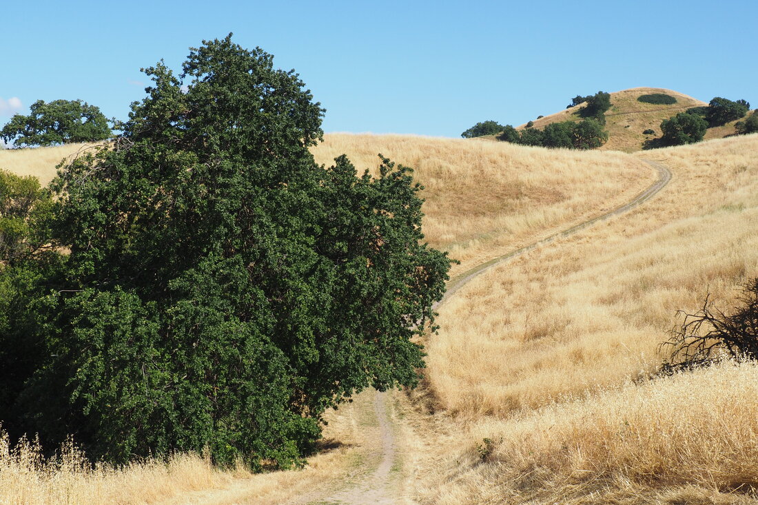
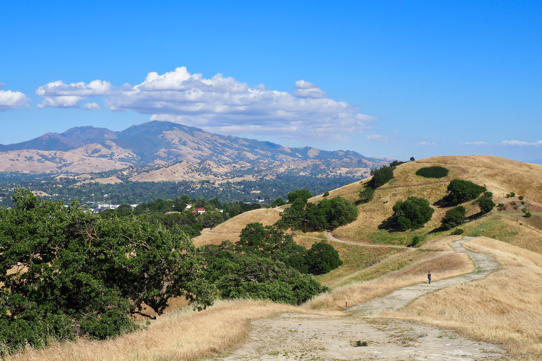
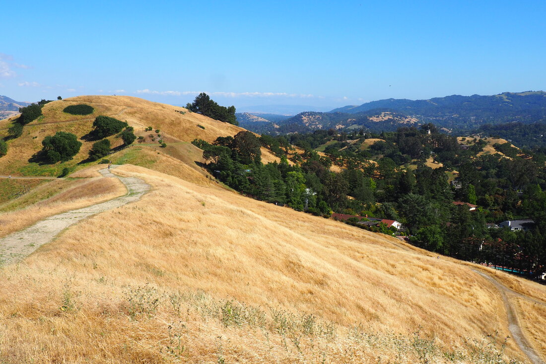
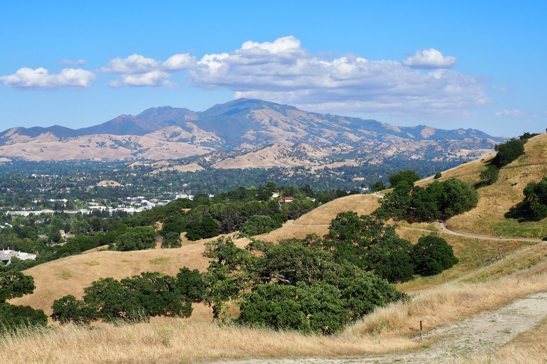
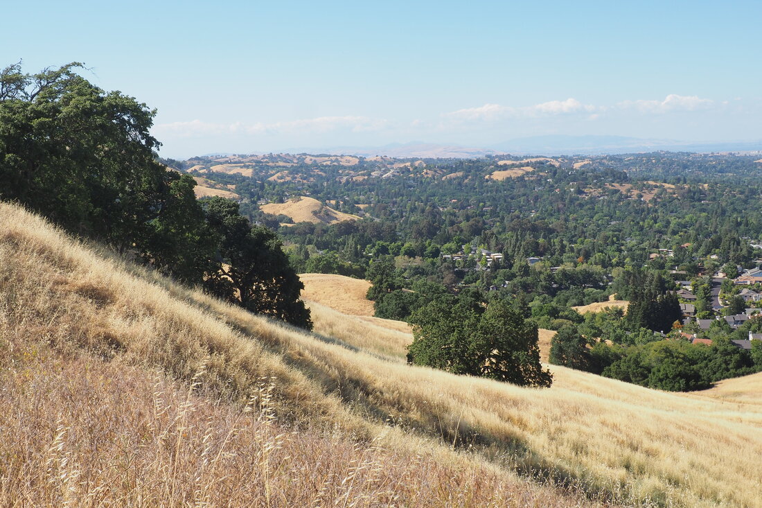
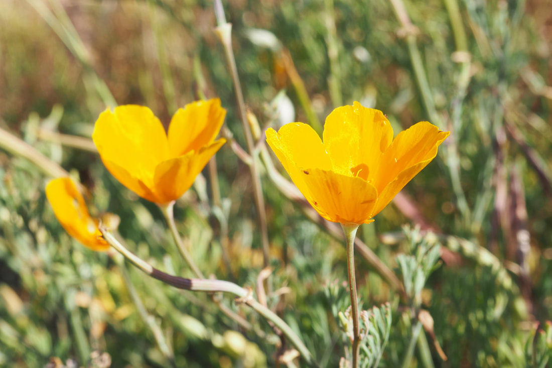
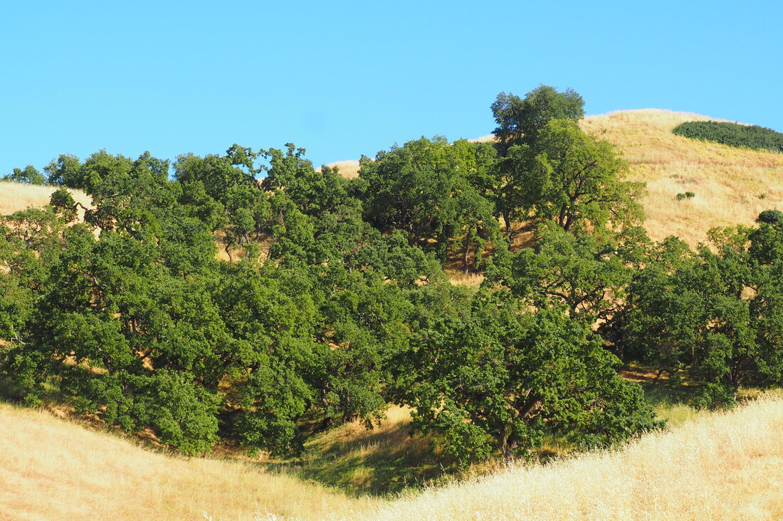
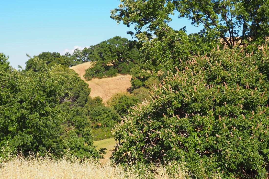
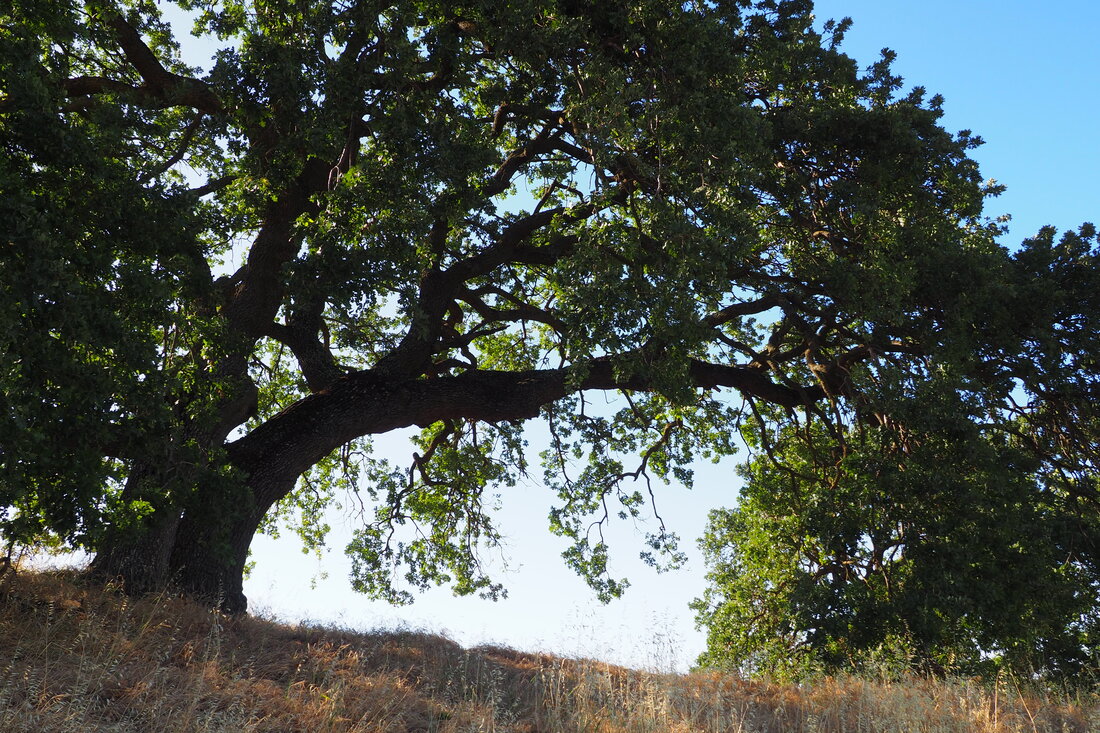
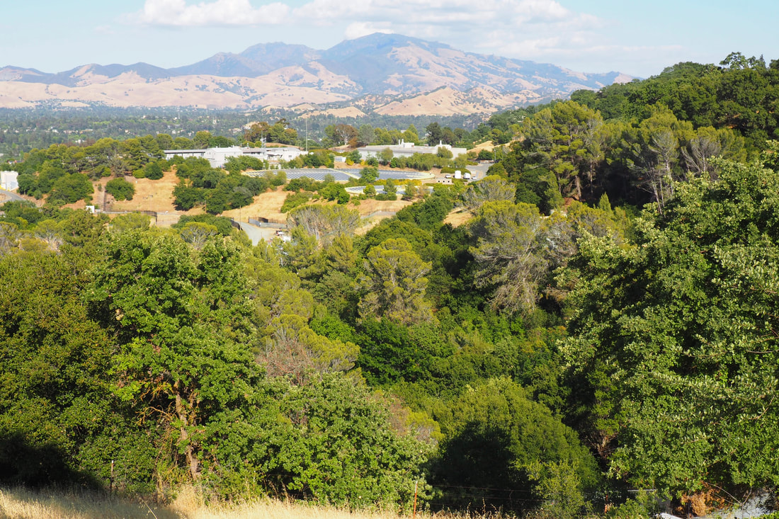
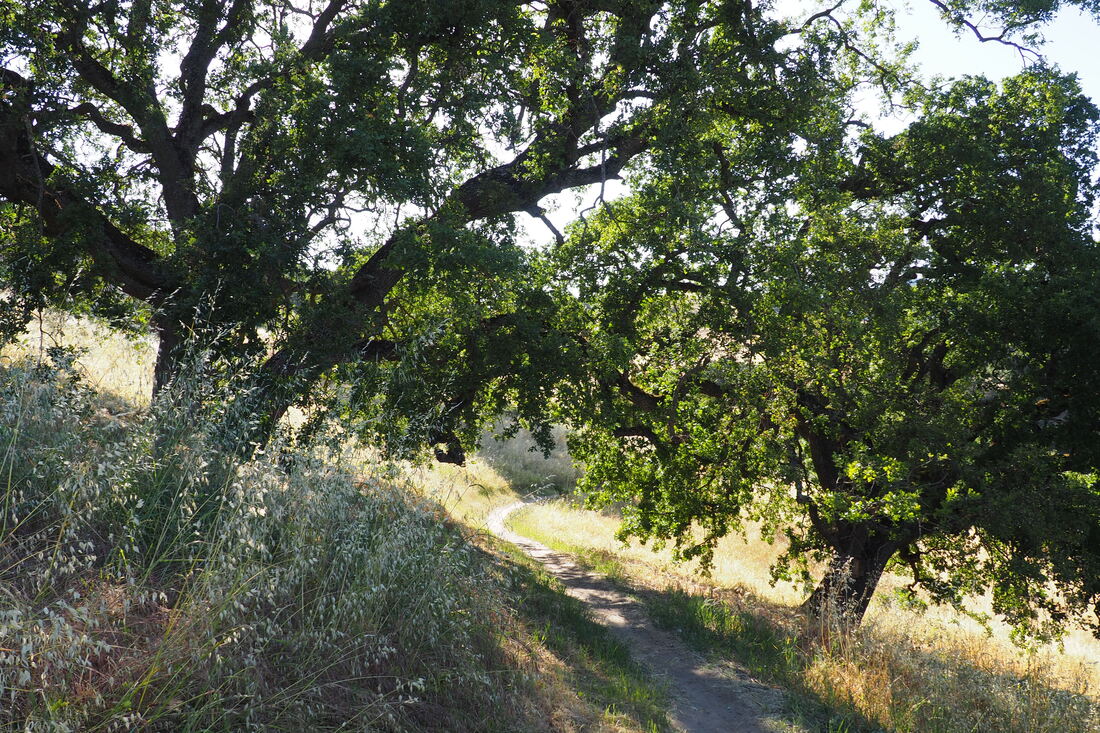
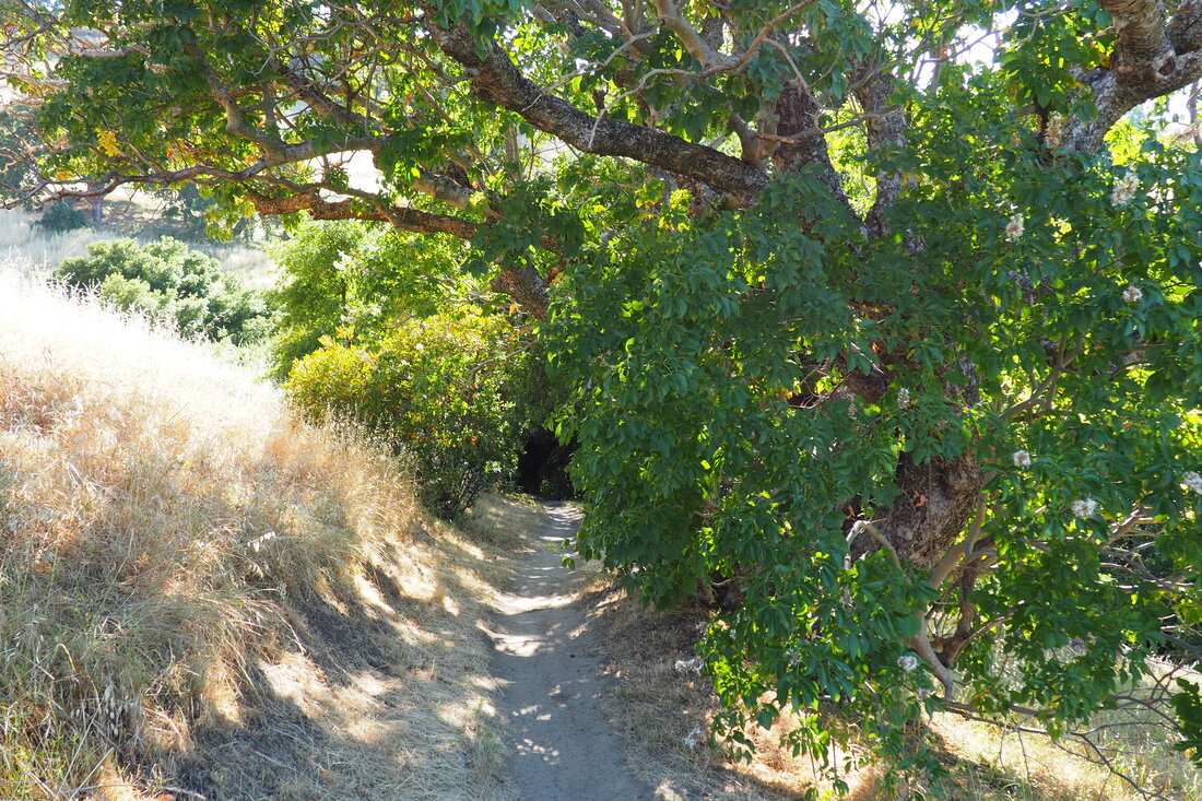
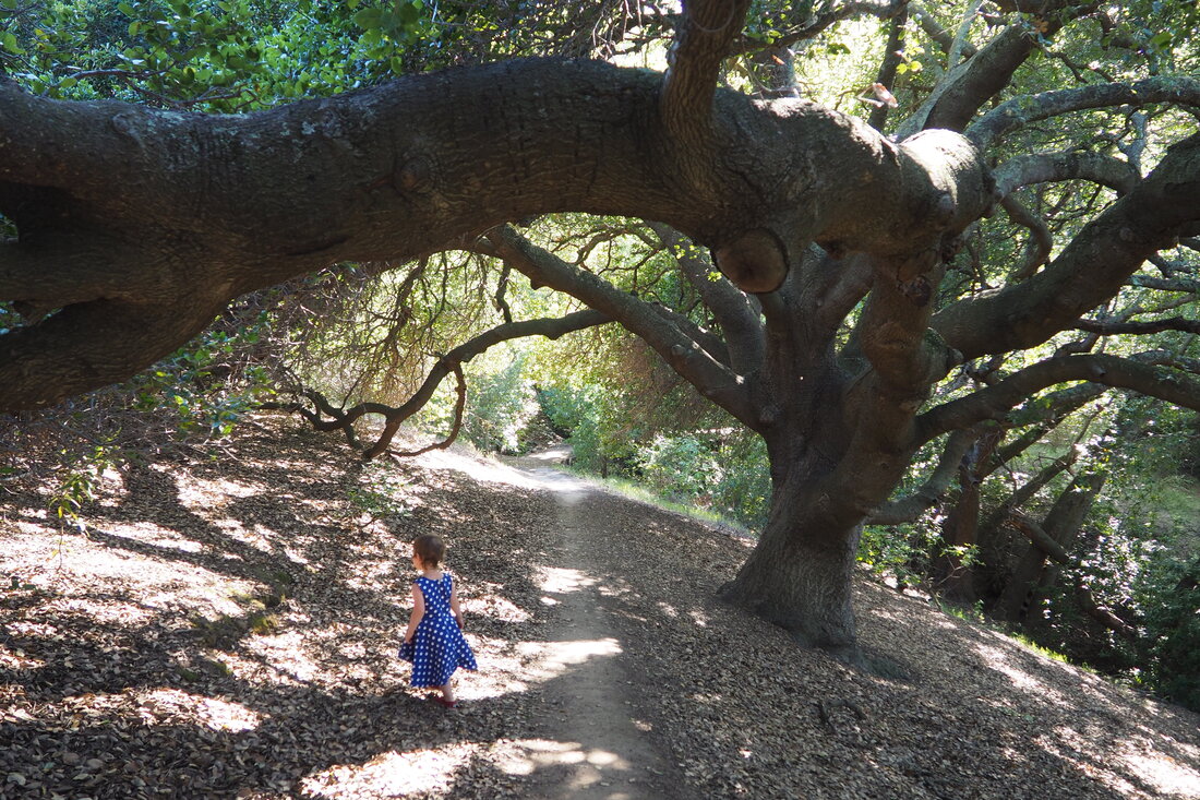
I think if I go back with her, we might just go without a stroller or a carrier and head to the left at this first fork. This single track trail (unnamed at this juncture, but labeled as the Camino Verde Circle at a post where it retakes Camino Verde Trail) is where you can find the "hidden sylvan creek" that is mentioned on the park's website. The trees are so dense here the that rangers evidently had to use a chainsaw to cut out a tunnel for hikers to walk through. The shade is deep and cool, even if the creek is dry for the summer. But this was what we discovered at the end of our loop. On our way into the park, we missed this and saw the grassy, hilly ridges that were more indicative of the rest of the park. Once we got to the tee, we turned right and began the loop in earnest. On the map above, you can see that we took the route in a counter-clockwise direction. I mistakenly thought that this would be the apex of the trip, getting to where the Camino Verde Trail intersects with the Ridgetop Trail. I was wrong. Somewhere near this intersection must also be an entrance point for the Yarrow Trail, but I missed it. Instead I took the Ridgetop Trail to the very top of the ridge. This was very steep. But the views at the top were really spectacular. You could see the Carquinez Strait and delta to the north and Mount Diablo to the southeast. Some little birds were circling the ridge top, and it felt like we were part of their party. My daughter started to get cranky about this time, waking up from her nap. We paused for some snacks and started heading down the ridge. It was really hard to hold the stroller on the steep descent. She pointed to a narrower single track path that was not as steep and it seemed like a good idea to go down it. But, alas, it was not. The trail got too narrow for the stroller, so she had to get out and walk while I folded it up and carried it safely. This ended up being ok. She doesn't mind going downhill. and there were lots of flowers here. It flustered me in the moment, but it was fine. The Yarrow Trail retook the Ridgetop Trail and then switched back down the hillside for a gentler descent while Ridgetop Trail continued on to the Camino Verde, which descended at another angle at a slightly steeper grade. We took the wider fire roads, even though they were a little steeper, so that we would have the option to use the stroller. My daughter loved this part of the hike. She was refreshed from her nap and her snack, and she was in the mood to play with the grasses. Eventually we had to head back up hill a little (out of the bowl that we had descended into), and when we got to the four-way intersection (Yarrow, Camino Verde Trail, and Camino Verde Circle) we took the Circle option. I didn't know for sure because my map was so poor, but I was fairly certain that it was the unmarked shady path that I saw when we got to that first fork. Luckily, my sense of direction did not fail me! The tree tunnel is most apparent from the direction that we were walking. My daughter actually noticed the tree tunnel herself, and she was really taken by this copse. It seemed to feel like an enchanted forest to her. The oak tree here is really a spectacular tree. Despite some real struggles on the hike, this was truly a delightful way to end it. So while I would not do this hike again the way that I did it this time, I would definitely return here and even bring my little one again. But not with a stroller and not on the longer loop. And I bet that this loop would be even more enjoyable earlier in the spring when the grass is still green and the flowers are more intense. Edit: I found a better map on the Walnut City website! Please refer to this page, and below is a better map of the route that we took. Note that the "Camino Verde Circle" trail is actually an extension of the Yarrow Trail: 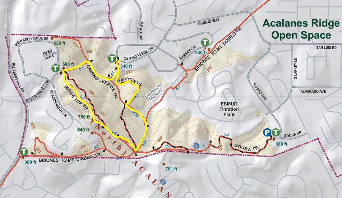
0 Comments
Leave a Reply. |
Archives
December 2020
Categories
All
|

 RSS Feed
