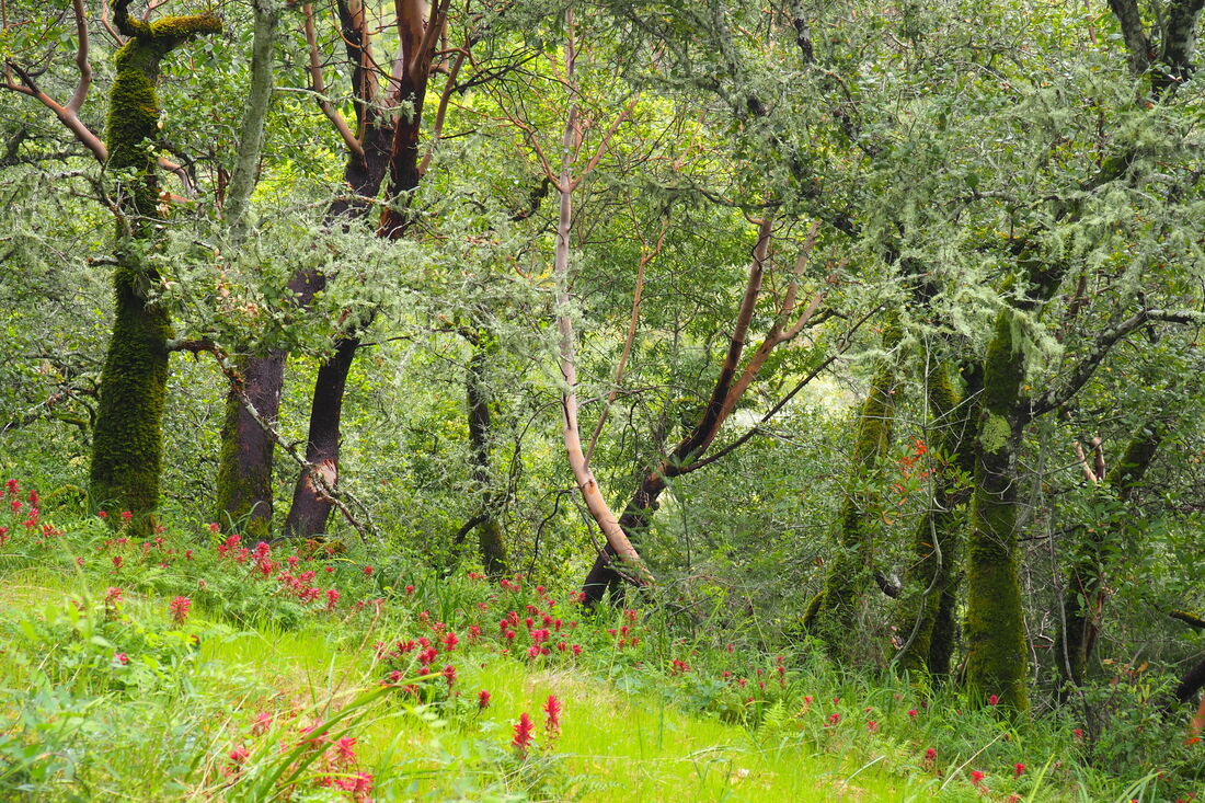
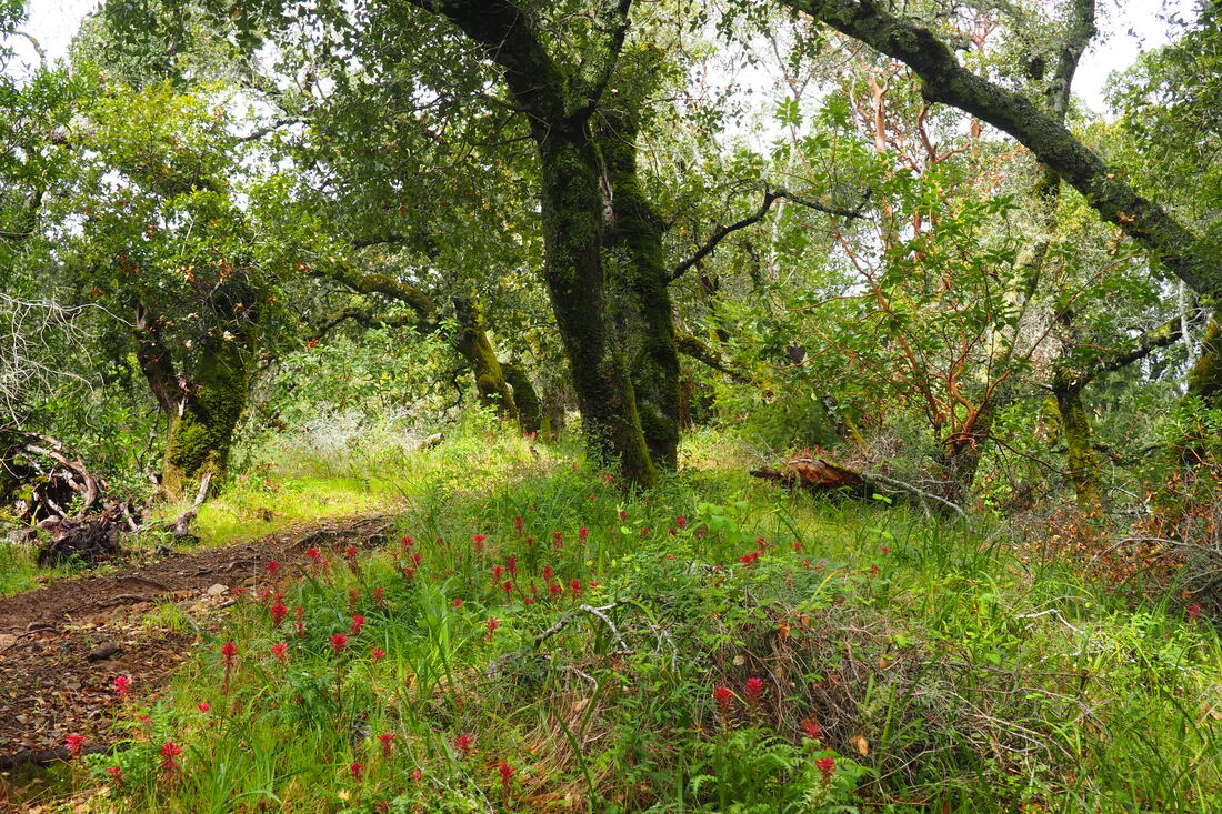
 Although all of the Marin County Parks are currently closed due to the shelter-in-place ordinances issued by the county of Marin, I got a chance to visit this lovely park on Sunday before the closure. I am glad that I got to go. I loved it, and it did so much to lighten my spirits during this frightening pandemic. Cascade Canyon Open Space Park is a wonderful park, and I hope to bring my family back here after the COVID-19 pandemic is under control. I will be looking over these pictures and dreaming of getting out to hike if more parks start to close. Perhaps the photos on this blog will bring some comfort to you too.
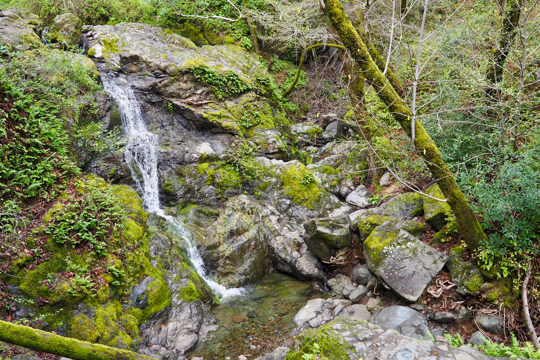
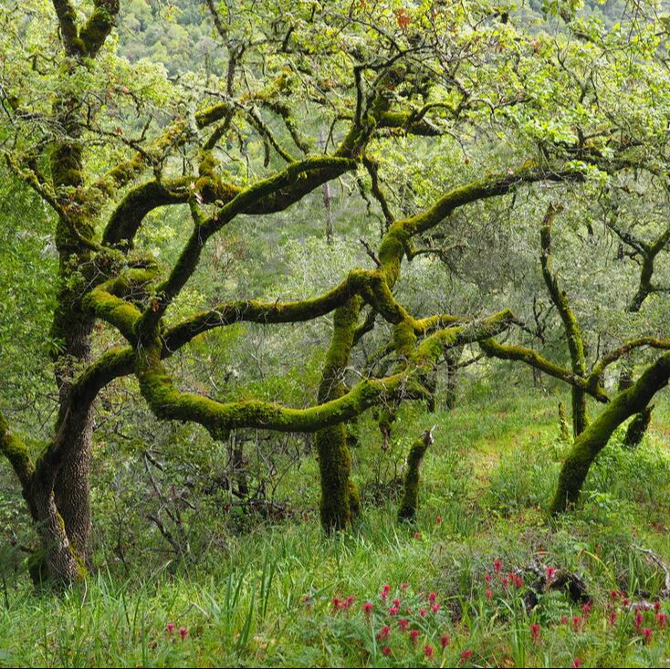
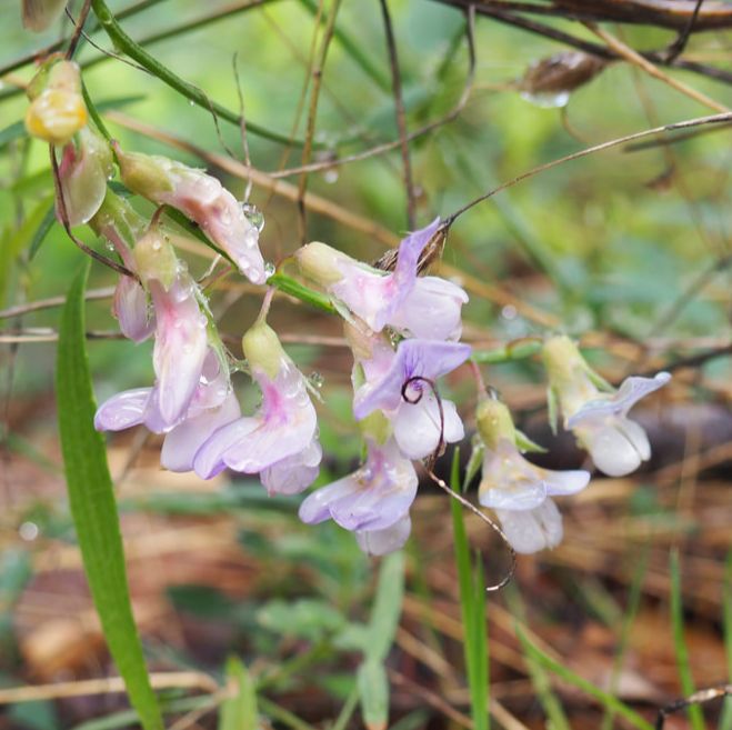
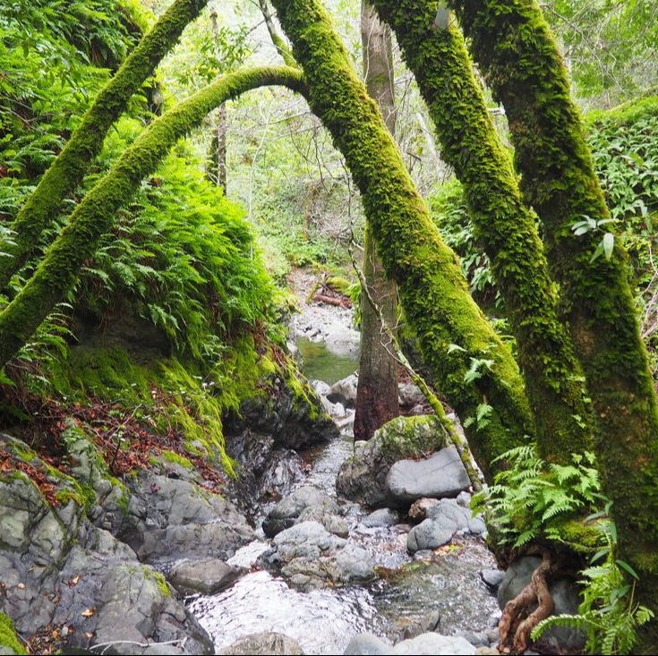
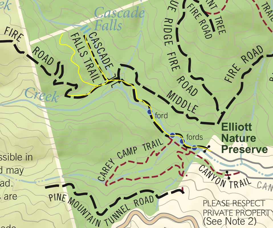
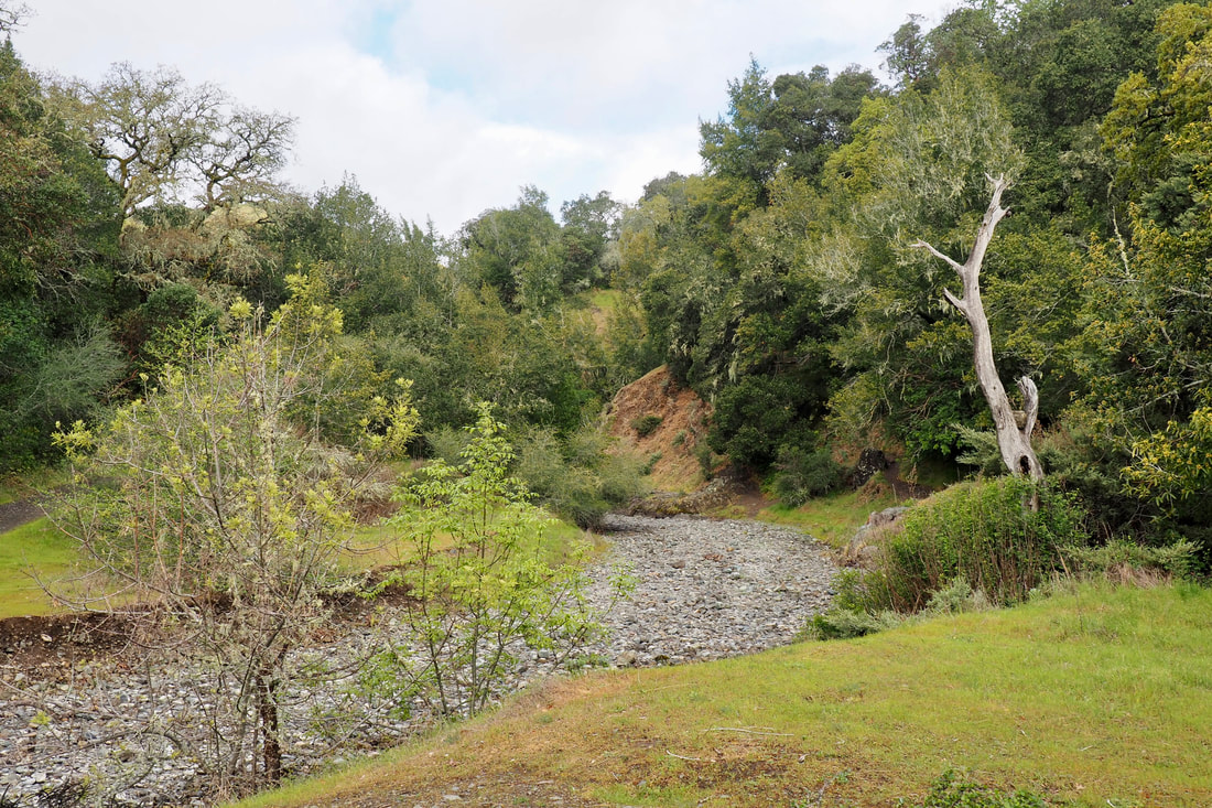
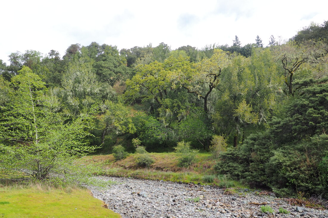
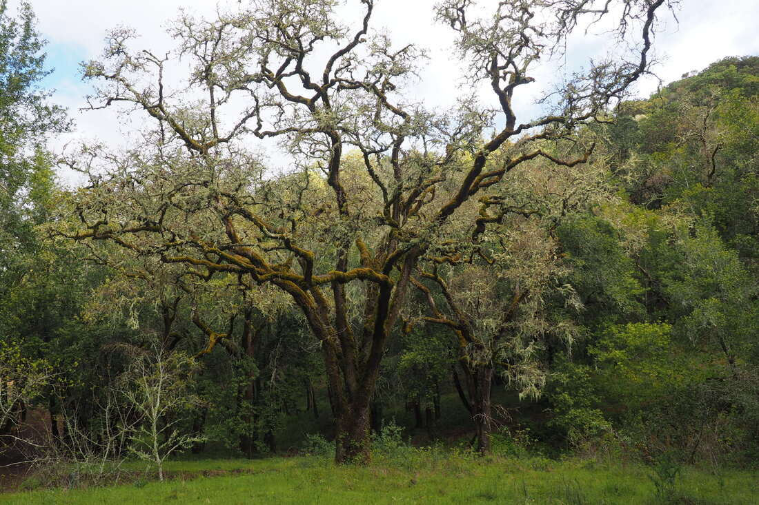
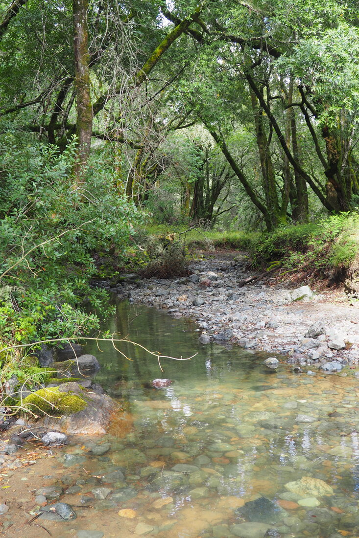
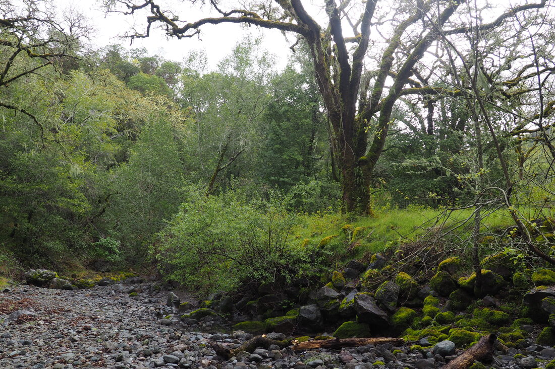
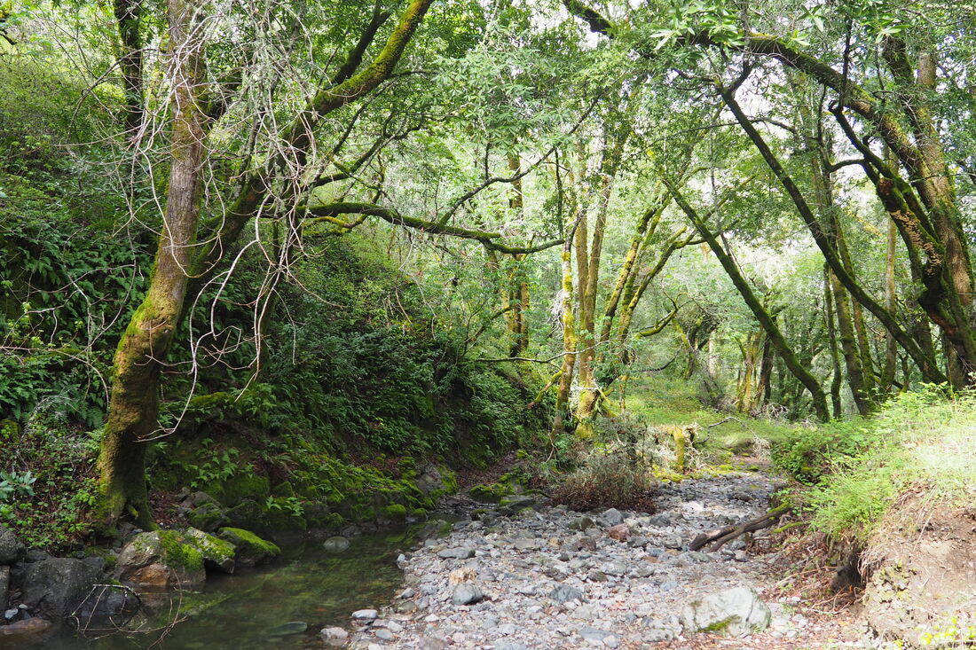
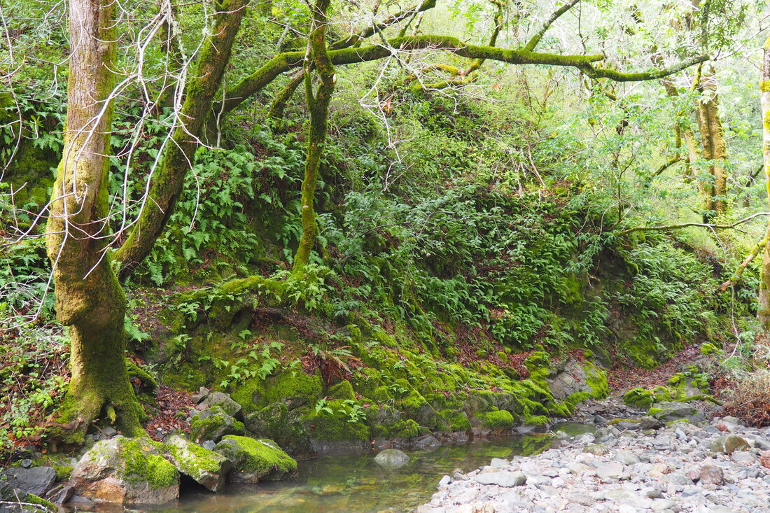
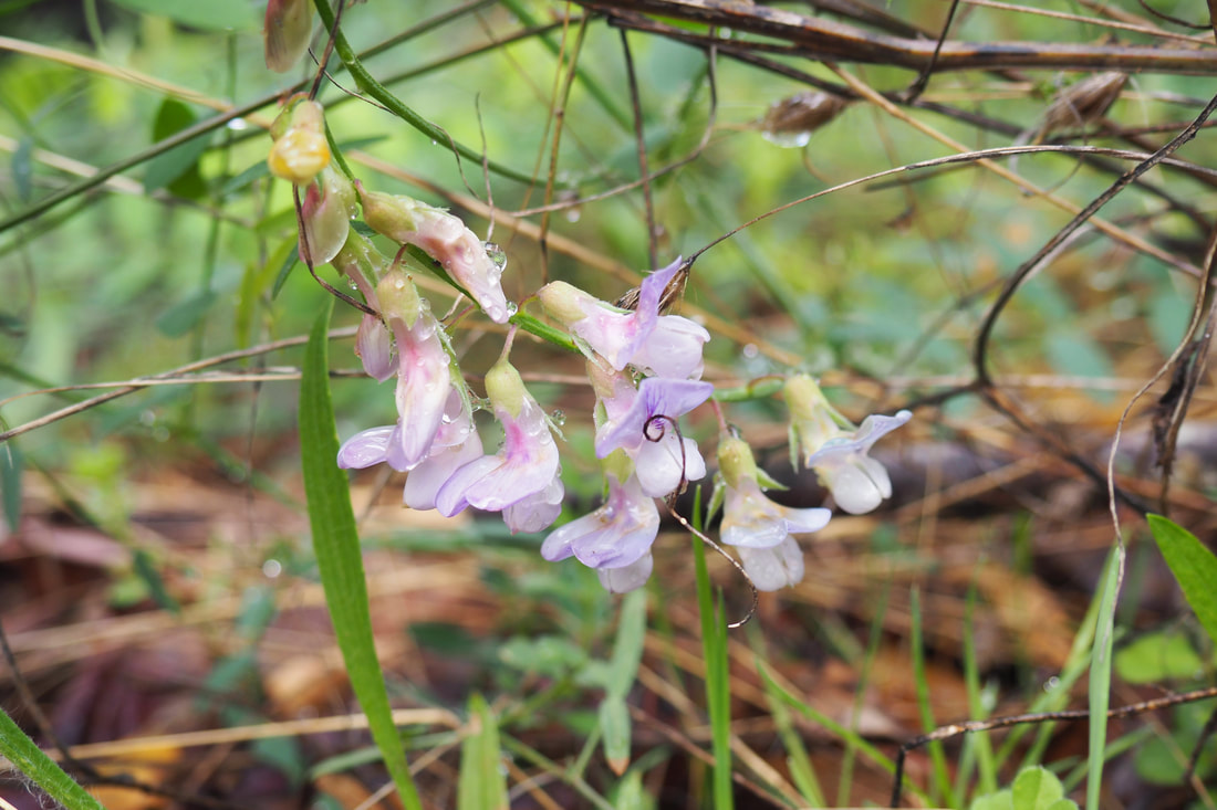
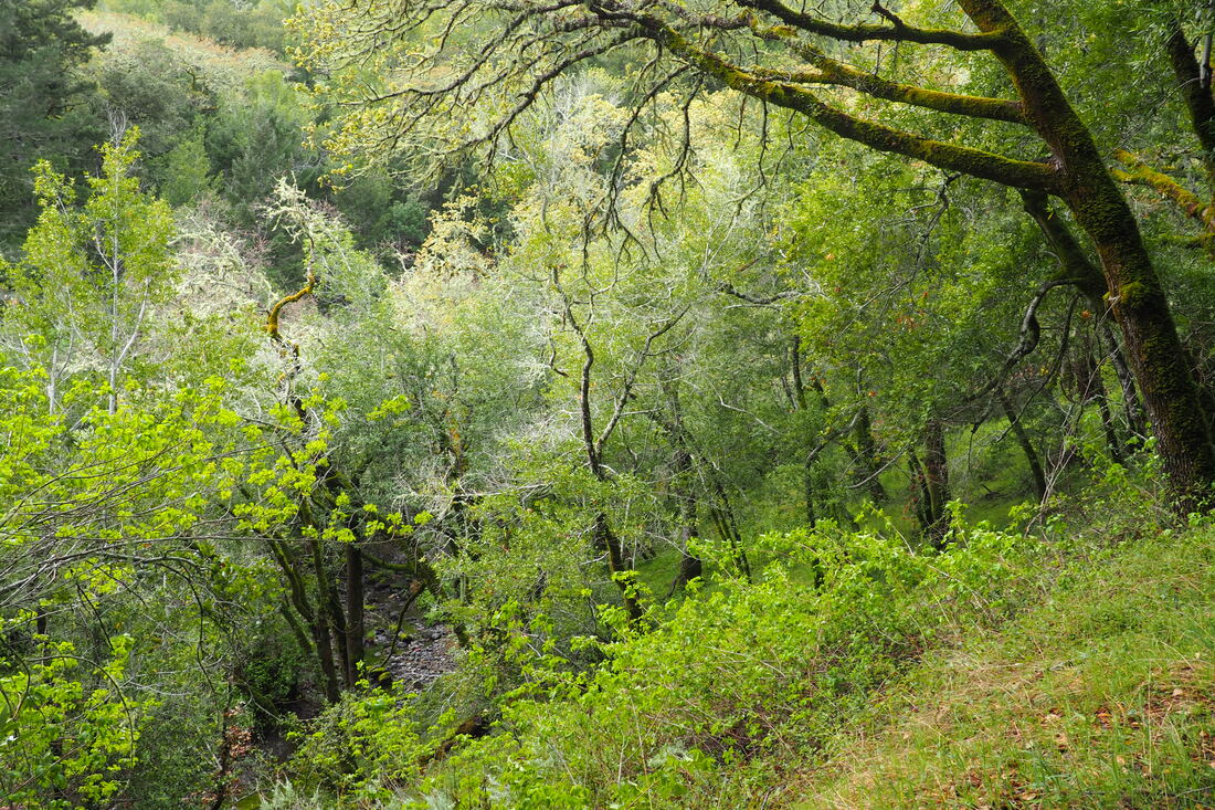
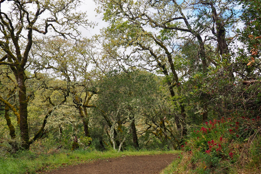
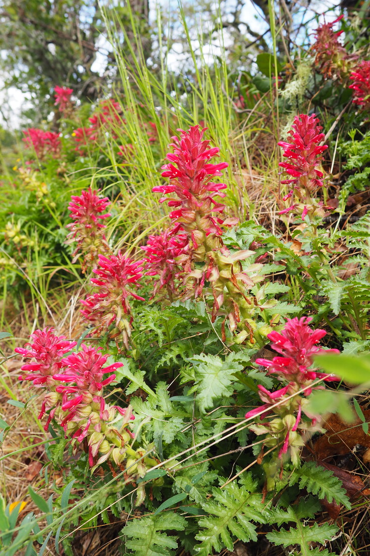
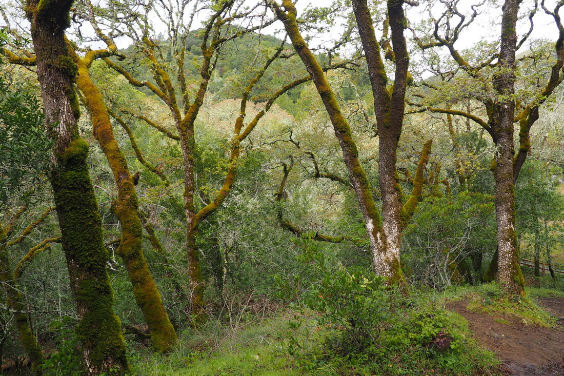
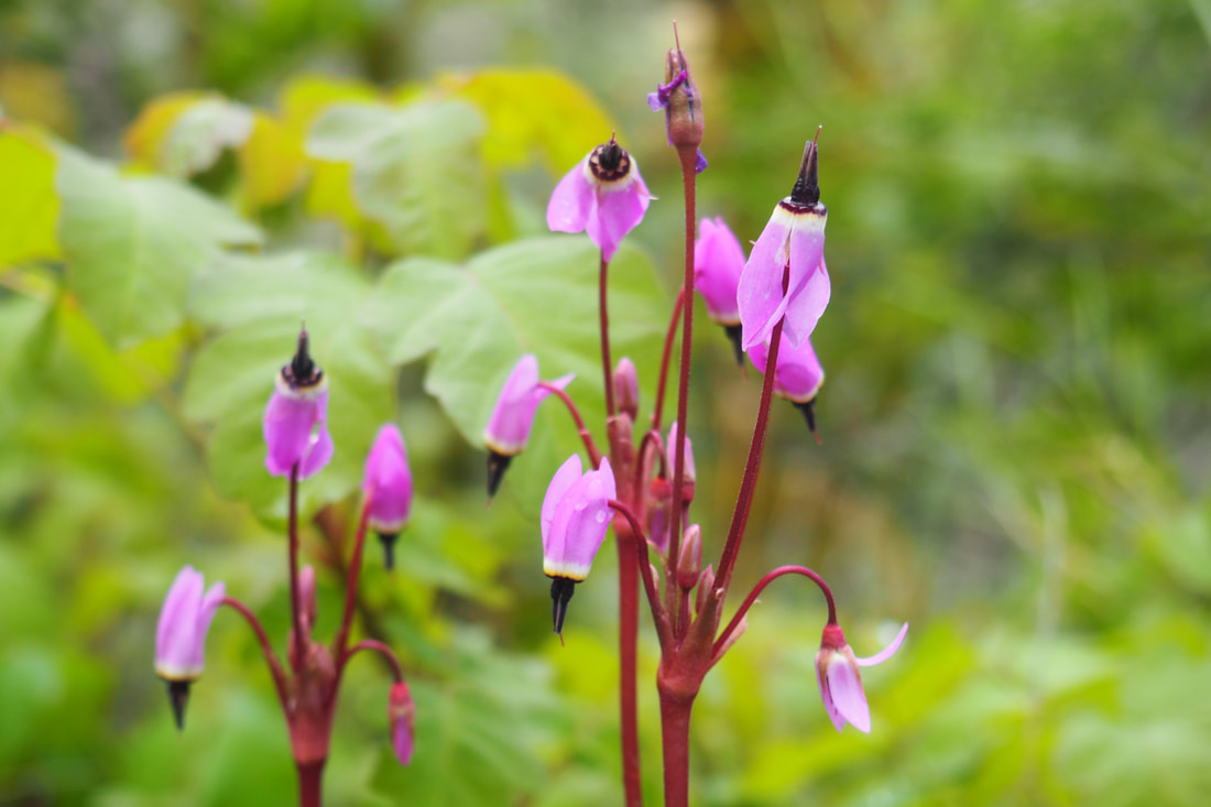
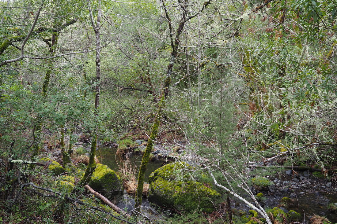
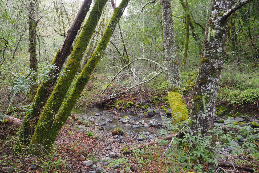
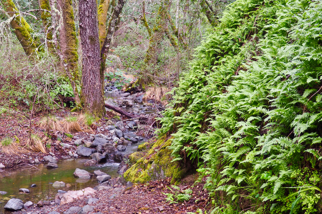
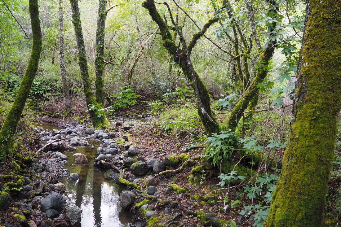
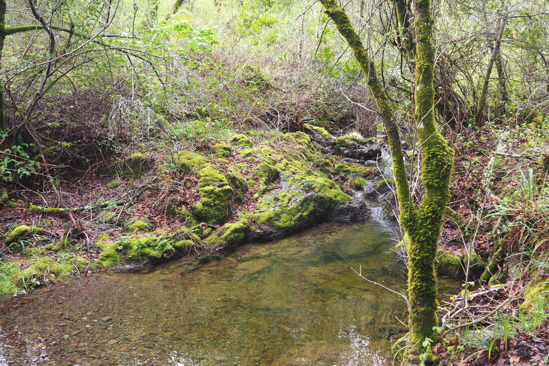
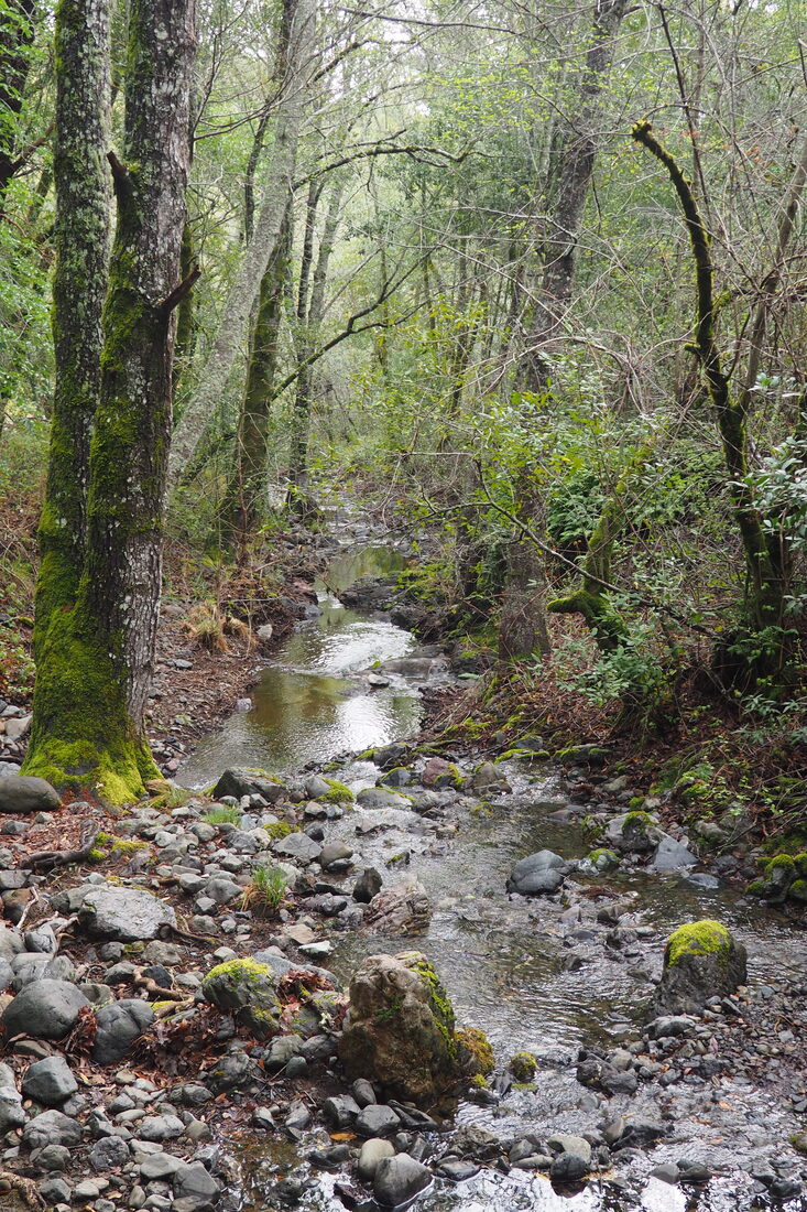
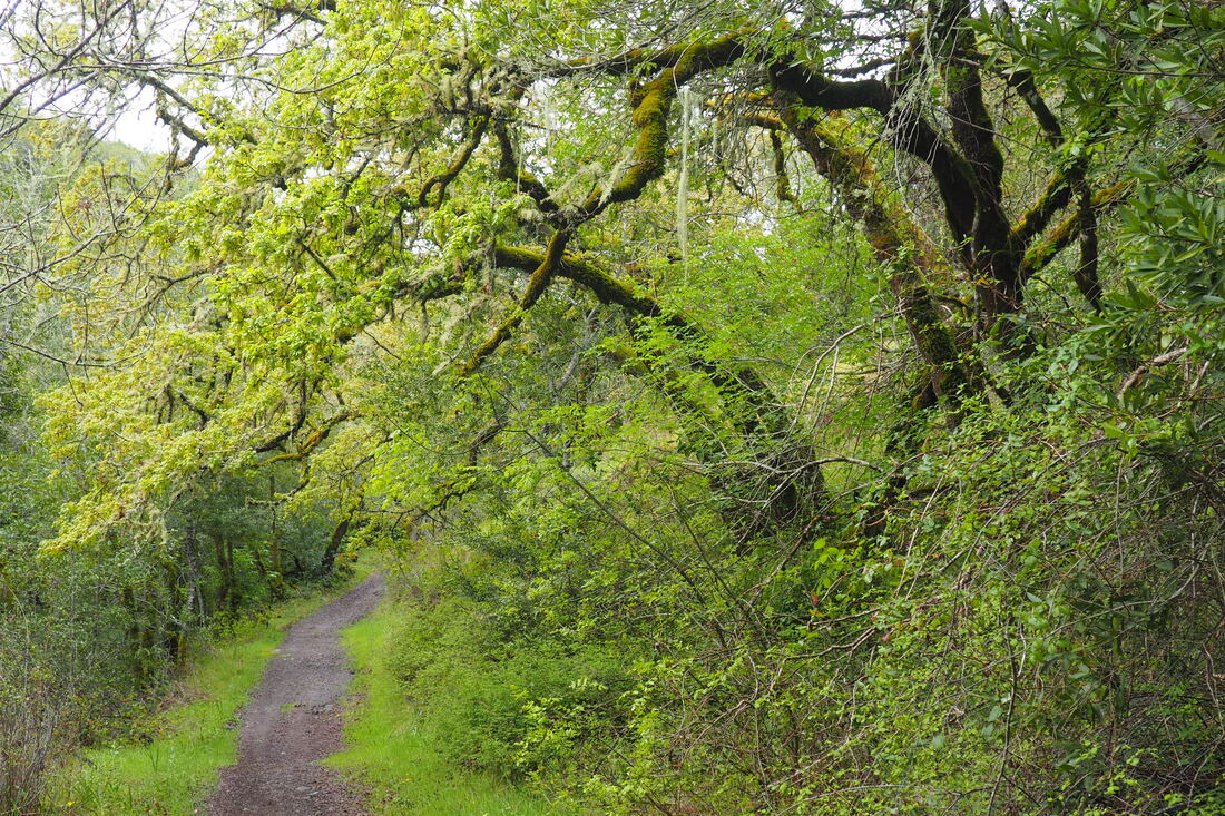
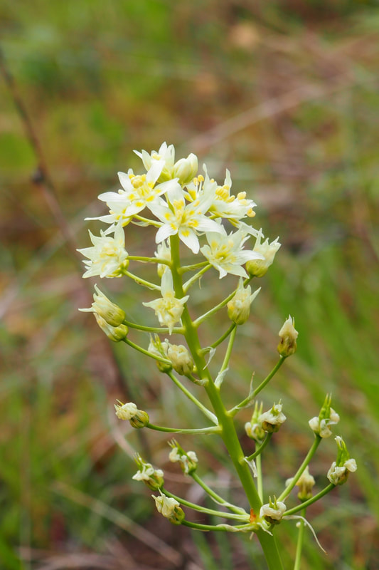
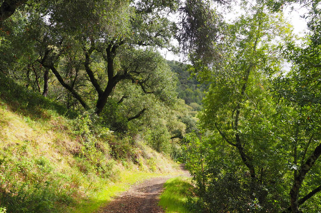
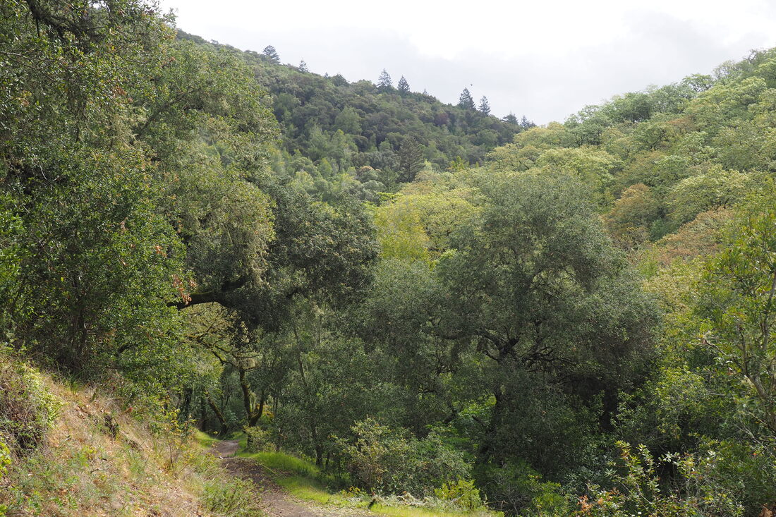
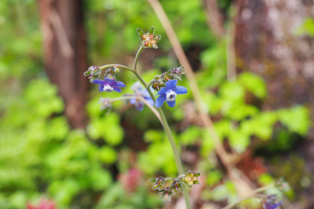
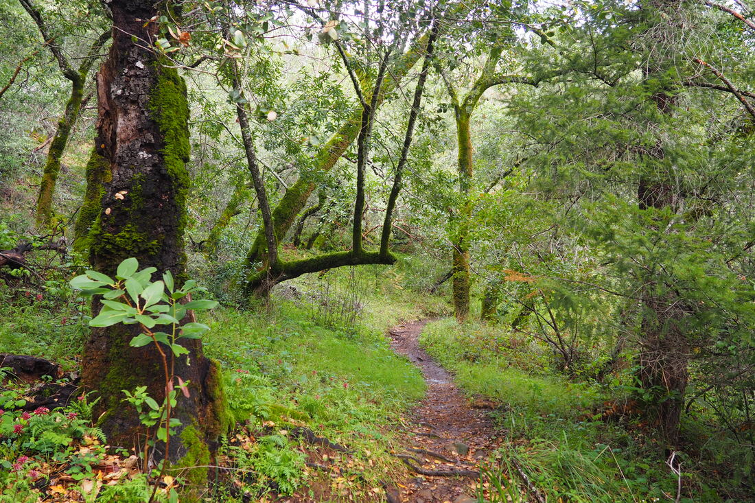
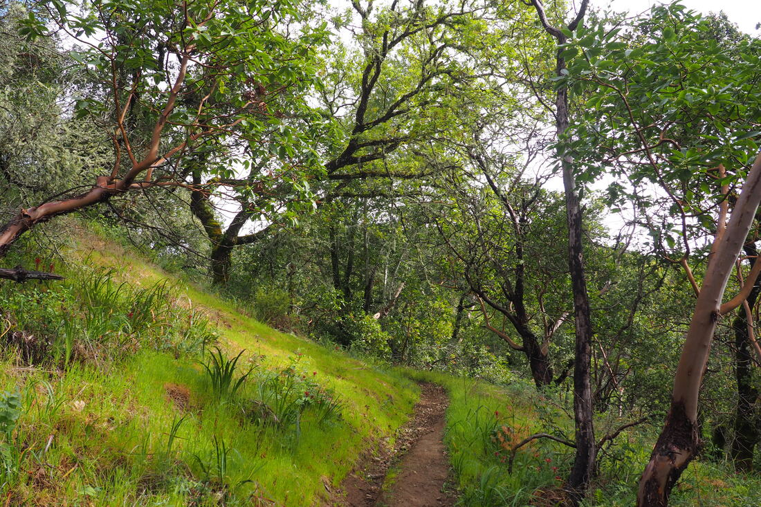
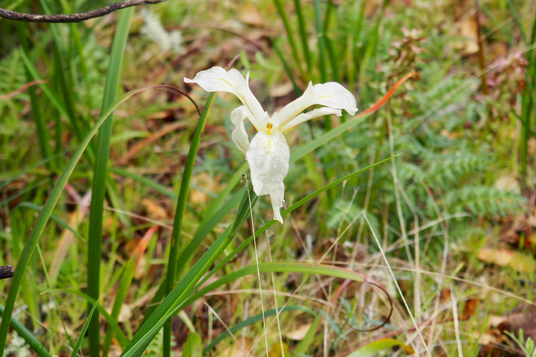
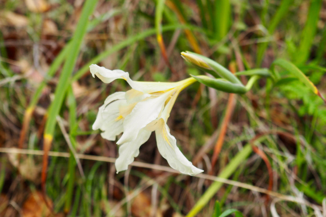
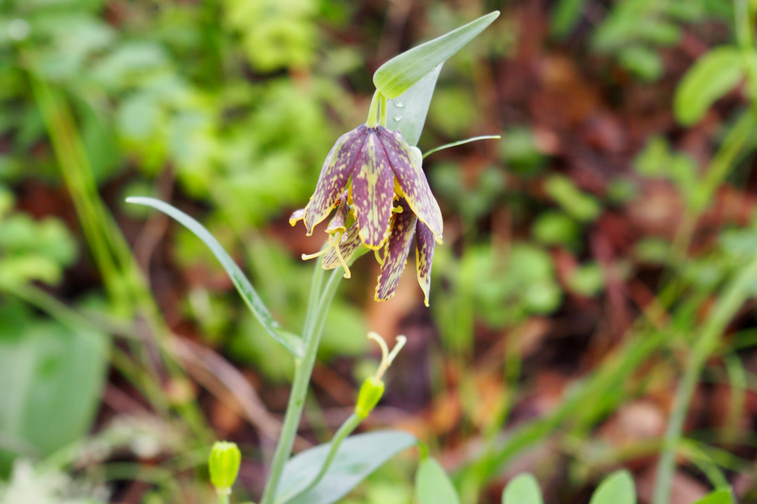
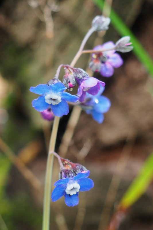
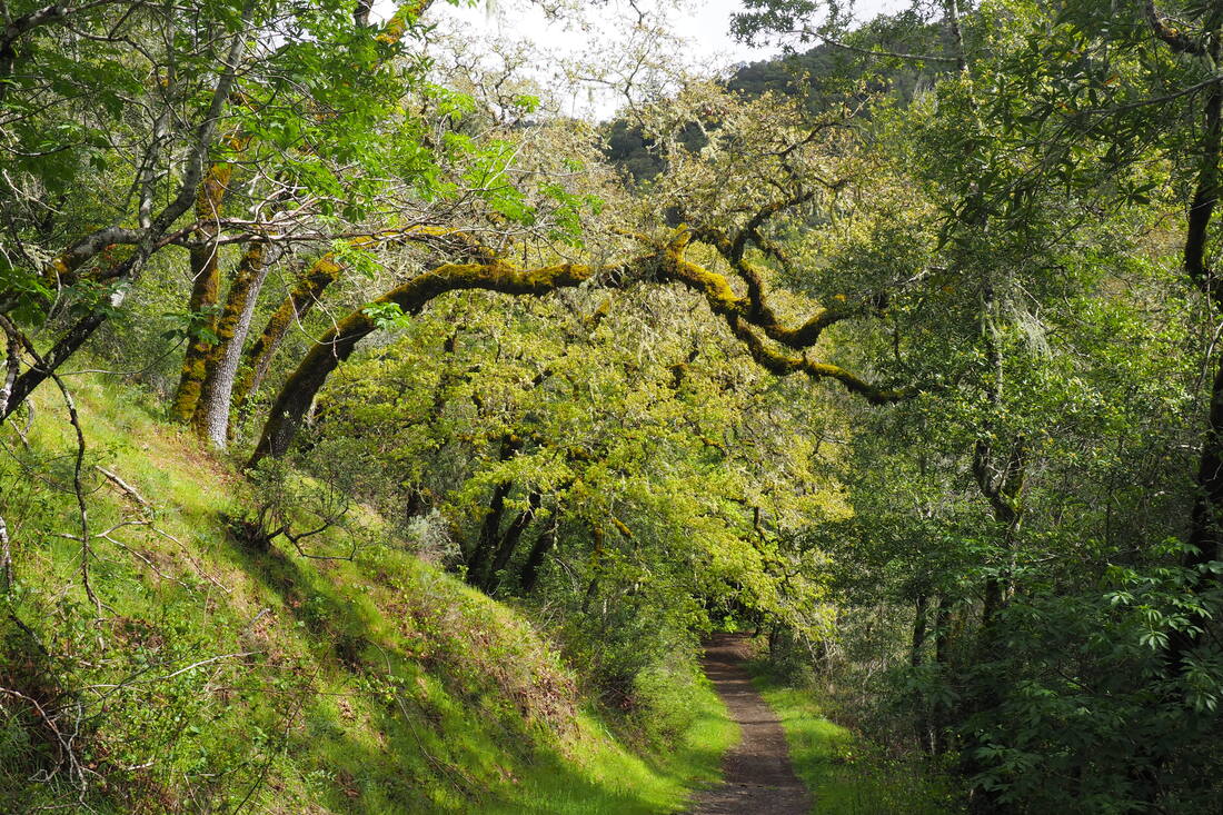
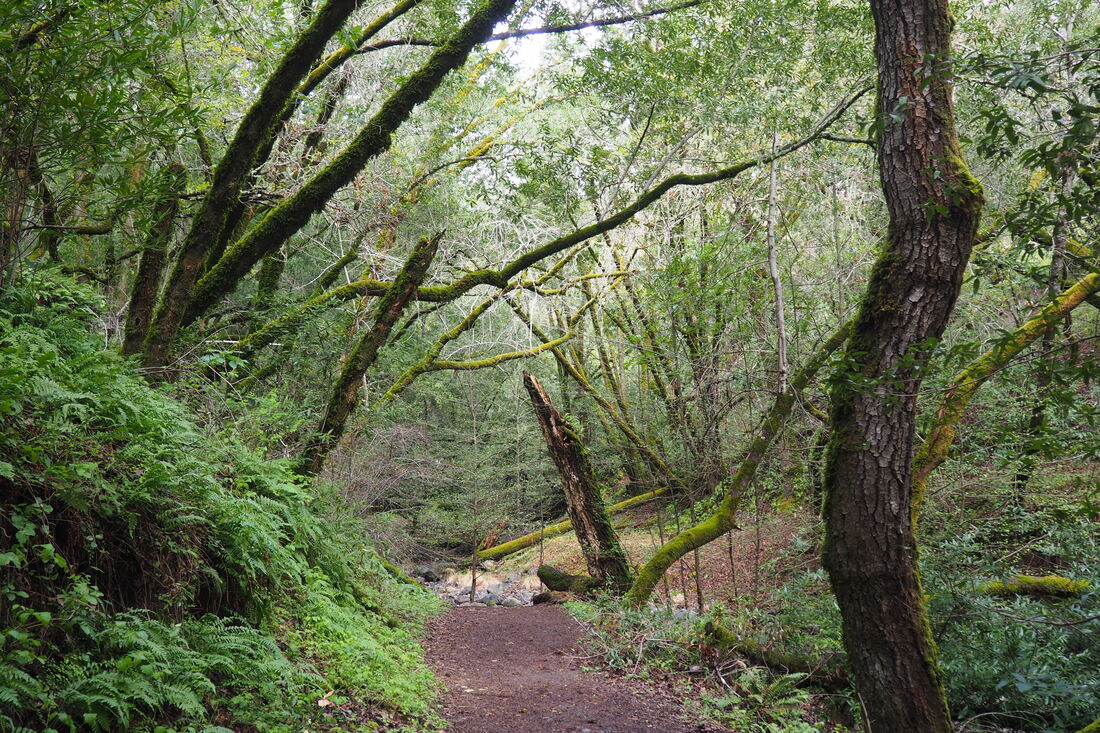
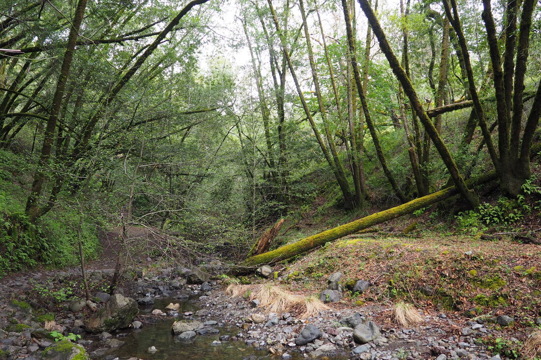
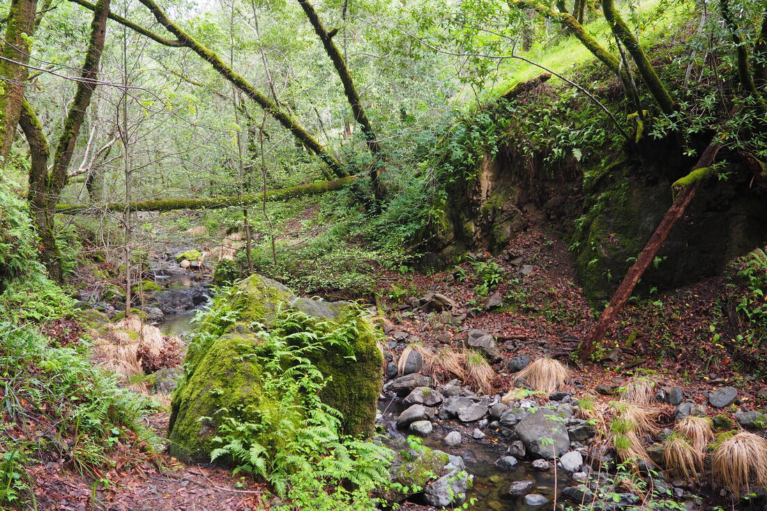
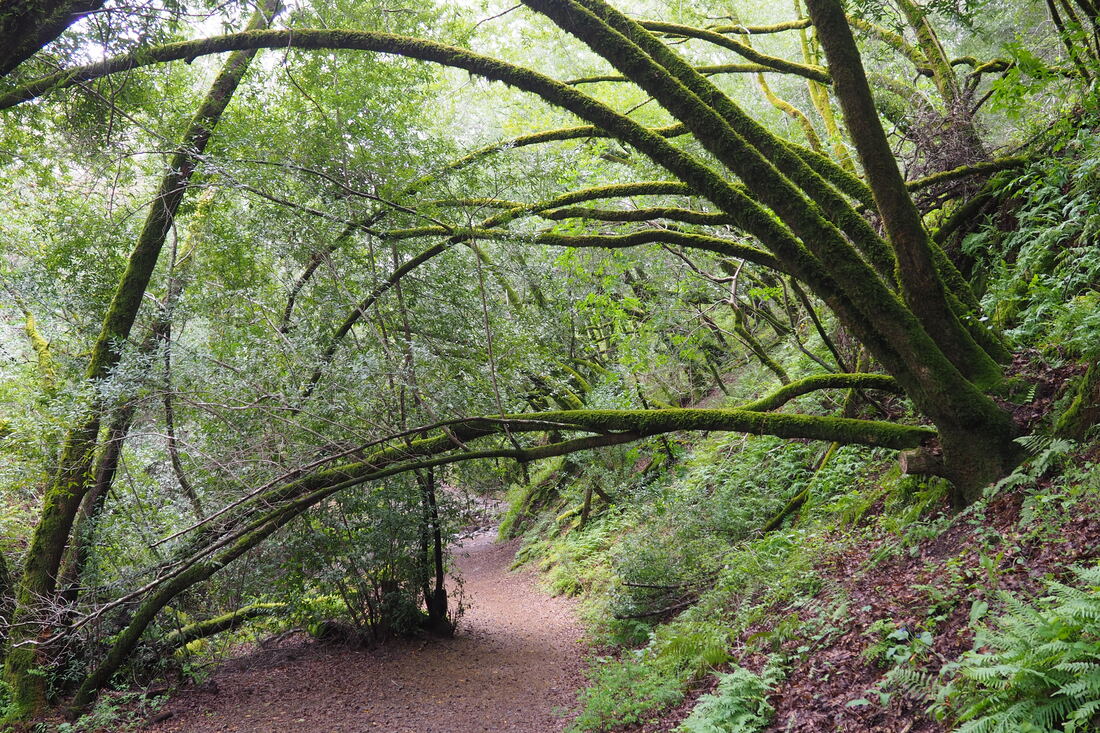
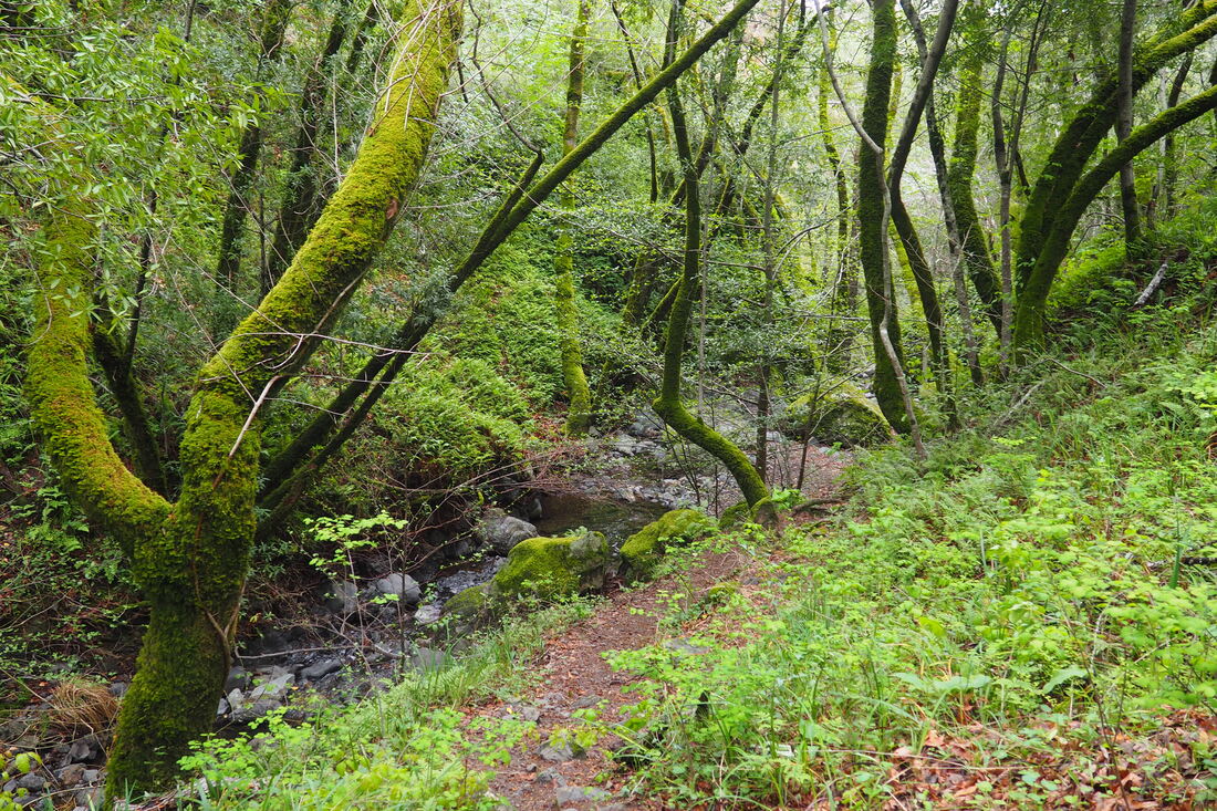
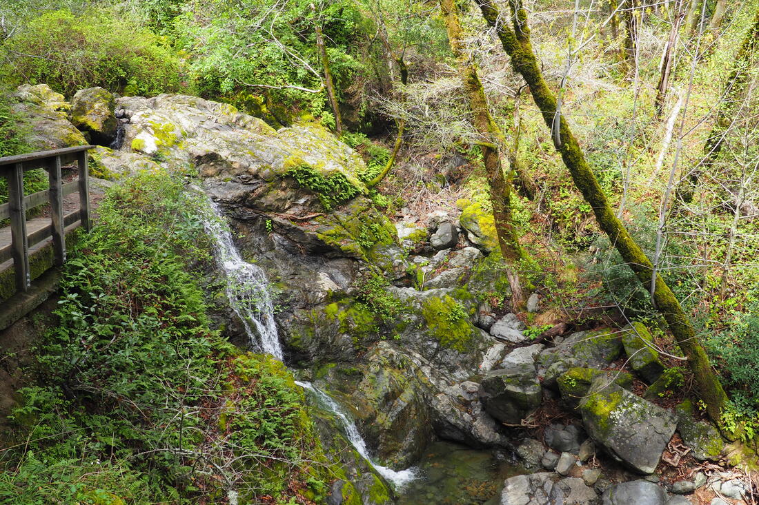
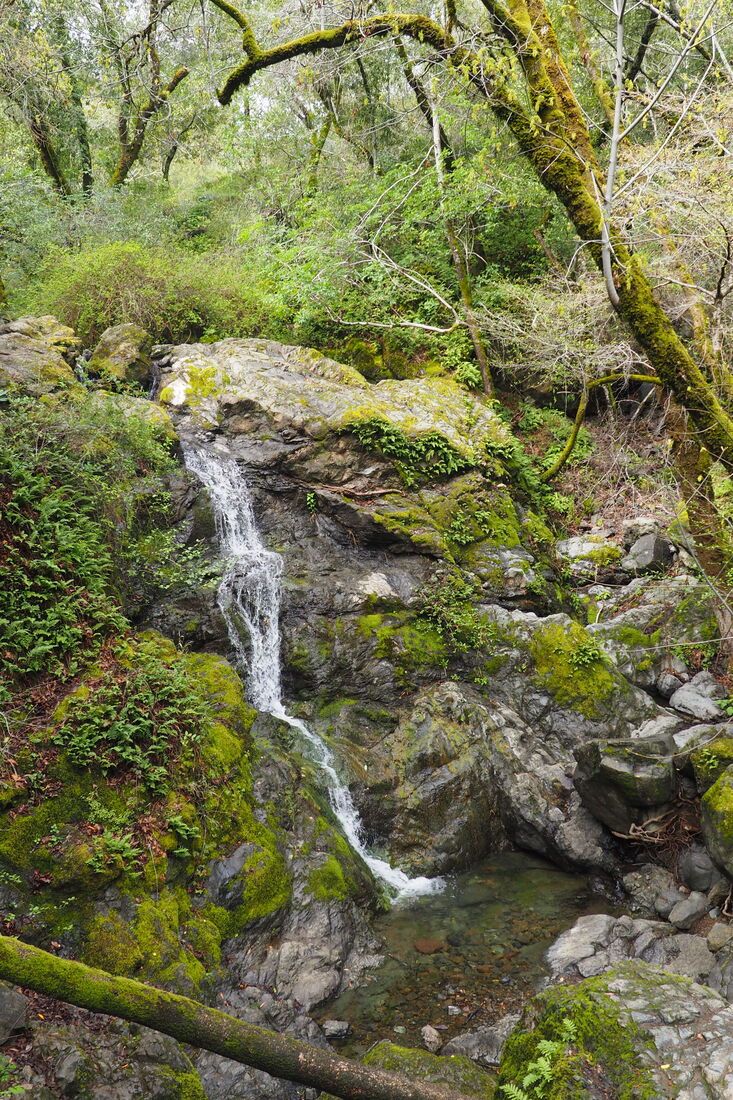
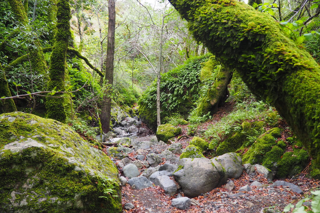
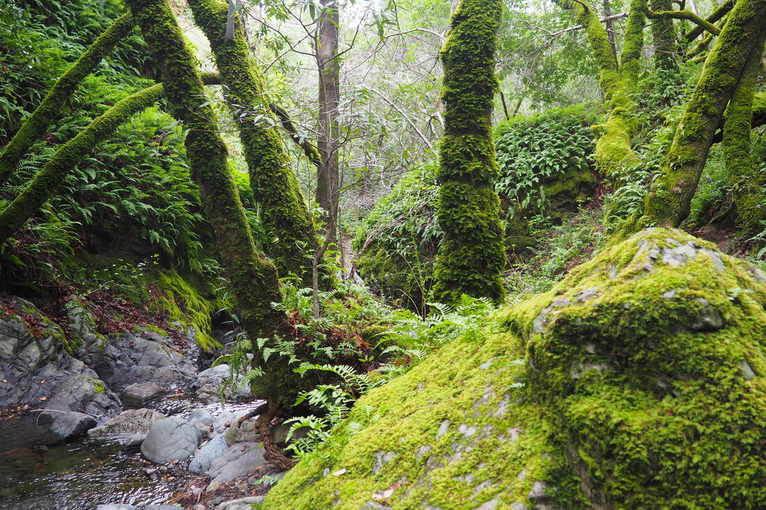
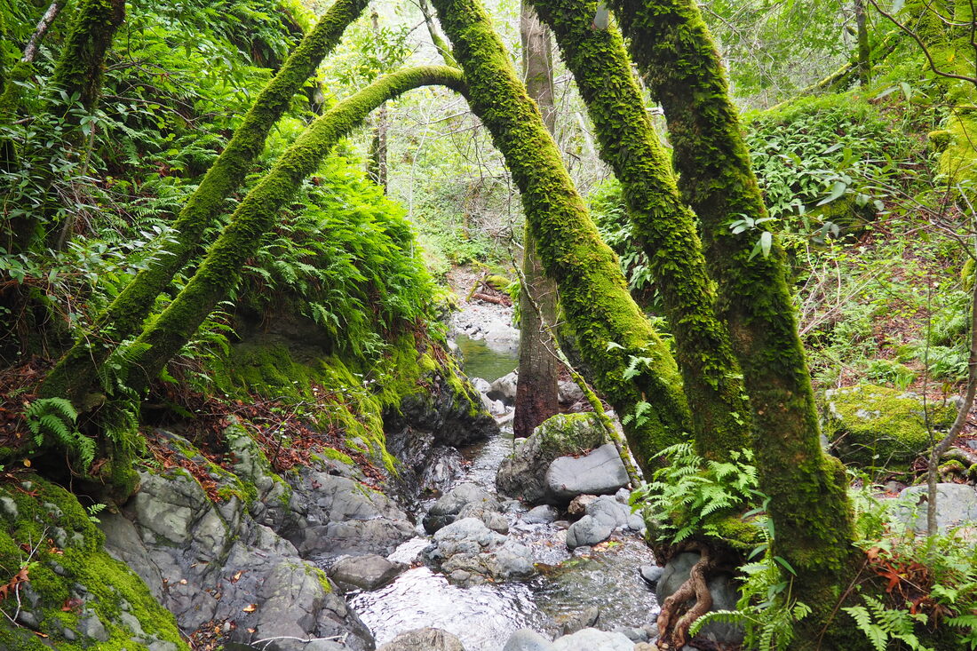
Once the switch-backs started, I knew I was on the wrong path, so I backtracked again. Then, around the junction with San Anselmo Creek Trail and the Cascade Fire Road, I noticed another path. Thinking that this was the trail that I missed, I took that one. It is unmarked, and it also climbs up, but it parallels Cascade Creek, so I thought that it would take me to the water fall. Eventually, I crossed paths with some mountain bikers. I asked them if they had come from the falls, and I could see from their confusion that I must have been on the wrong track again. Since returning home, I have consulted a couple of my books, and Ann Marie Brown writes that this unmarked trail can connect to the top of Cascade Falls for a 5-mile loop. However, I did not know this at the time, and the trail is not on the map at all. It seemed silly to keep going even though I very much enjoyed this beautiful single-track path. The flowers along it were just gorgeous, including the irises. So third time was the charm for me. The wide road to the right of the bridge narrows as the canyon narrows while you approach the falls. This trail is not steep, although its also not perfectly flat. There were plenty of folks with young kids who were getting them out of the house. The water falls about 20 feet, so it's a fairly impressive waterfall, but the walk there (even when the water is low) is still worth it. It was such a pretty hike. I took the single-track High Water Trail back instead of the wide fire road. It parallels the Cascade Fire Road but on the other side of the creek. This one does not require you to ford the creek at all. It looks and feels like it was first cut by mountain bikers and then eventually leveled out by rangers because of its usefulness. I probably hiked about 3 miles total with all of my confused wanderings; however, it's probably a single mile total (half-mile each way) to get from the trail head to the falls. I assume that parking must be quite difficult on most days, but it wasn't a problem on Sunday with both social distancing and the light rain.
0 Comments
Leave a Reply. |
Archives
December 2020
Categories
All
|

 RSS Feed
