|
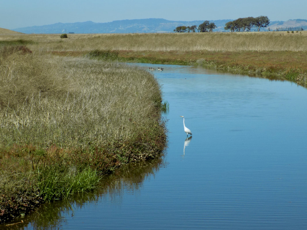
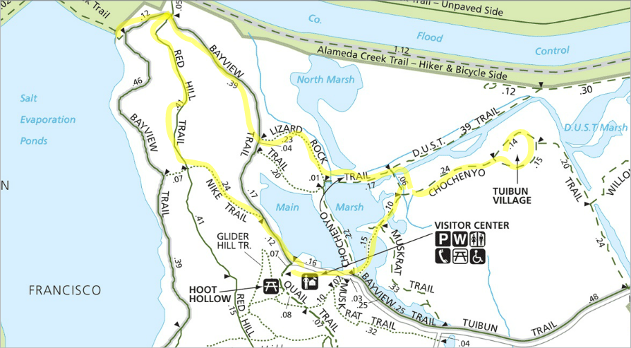
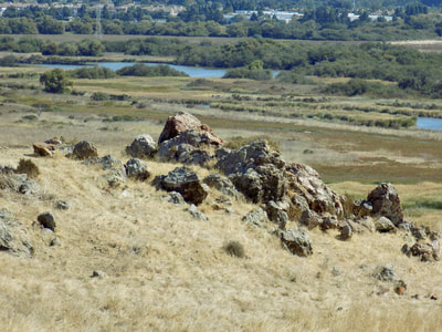
Coyote Hills Regional Park is a 1,266-acres park comprised of marshland and rolling grassland covered hills. It is near the towns of Fremont and Newark, just off of the Dumbarton Bridge on highway 84. It is a gorgeous park, and I am kicking myself that I was so slow to visit it! I thought that it would be too noisy from the traffic noise, which was what I thought of Ravenswood Open Space Preserve, on the west side of the bay. But a huge part of the park is pretty far removed from Highway 84, so your experience is a tranquil one. The park does charge an entrance fee of $5, but you get a lot of bang for your buck. The 3-mile loop that I did had three main attractions to it: 1) the butterflies at the Nectar Garden near the Visitor's Center, 2) the panoramic views of San Francisco Bay from the hilltops of the park, which overlook the Don Edwards San Francisco Bay National Wildlife Refuge, and 3) the marshes teeming with birds and rich with history--the site of a 2,000-year old Ohlone village. Read more to see pictures from each section of the hike along with a map of the route I took. This is more or less the route that I took for my walk (see the full map of the park here). There was a fair amount of wandering and back-tracking (I ended up walking over 4 miles that day on what should have only been a 3-mile loop). This is the best approximation of my route, which was taken in a clockwise direction starting from the Visitor Center. There is not very much shade at all, so I plan to bring a hat with a wider brim next time--especially because I want to follow further along the bayside of the Bayview Trail. Nectar Garden for butterflies at the Visitor Center The park rangers manage a gorgeous little garden with plants that attract butterflies. The plants aren't all native plants, but they are beautiful. This is the shadiest part of the park that I explored, and it was so lovely. Hilltop chert, salt evaporation ponds and white pelicans at the Don Edwards San Francisco Bay National Wildlife Refuge This was the only part of my hike that had some elevation gain--quite a bit of the park has very flat trails. Up on the tops of the hills are outcroppings of red chert, a type of sedimentary rock formed over millions of years from the skeletons of microscopic sea creatures that lived near the ocean floor. These rocks get their red color from trace amounts of iron. The chert is hard and resistant to erosion, so you can think about the hills in the park as "islands of bedrock" in a sea of mud. Once you climb to the top of the hills, you have a panoramic view of the San Francisco Bay. In addition to seeing all of the major cities along the bay (San Francisco, Oakland, San Mateo, Hayward, San Jose, etc.), you will see the salt evaporation ponds along Alameda Creek. When I went, I saw lots of birds but I was especially impressed with the many American white pelicans that I saw. The wind makes a really cool sound as it rushes over them when they fly by you. Marshes The highlight of the park is really the marshes. In autumn, one of the marsh grasses turns red. There are a million birds to see, and a cool part of the trail that is entirely on a boardwalk. In the middle of the marshes is an ancient Ohlone village. A shellmound in the village allows archeologists to date the Ohlone settlement of this area to 2,000 years! The village is gated off so that you have to access it on a docent-led tour; however, it's still cool to imagine the Ohlone living in the area. You can see more information about them and the ways that they adapted to this environment in the Visitor Center. Gallery of Photos
0 Comments
Leave a Reply. |
Archives
December 2020
Categories
All
|


 RSS Feed
