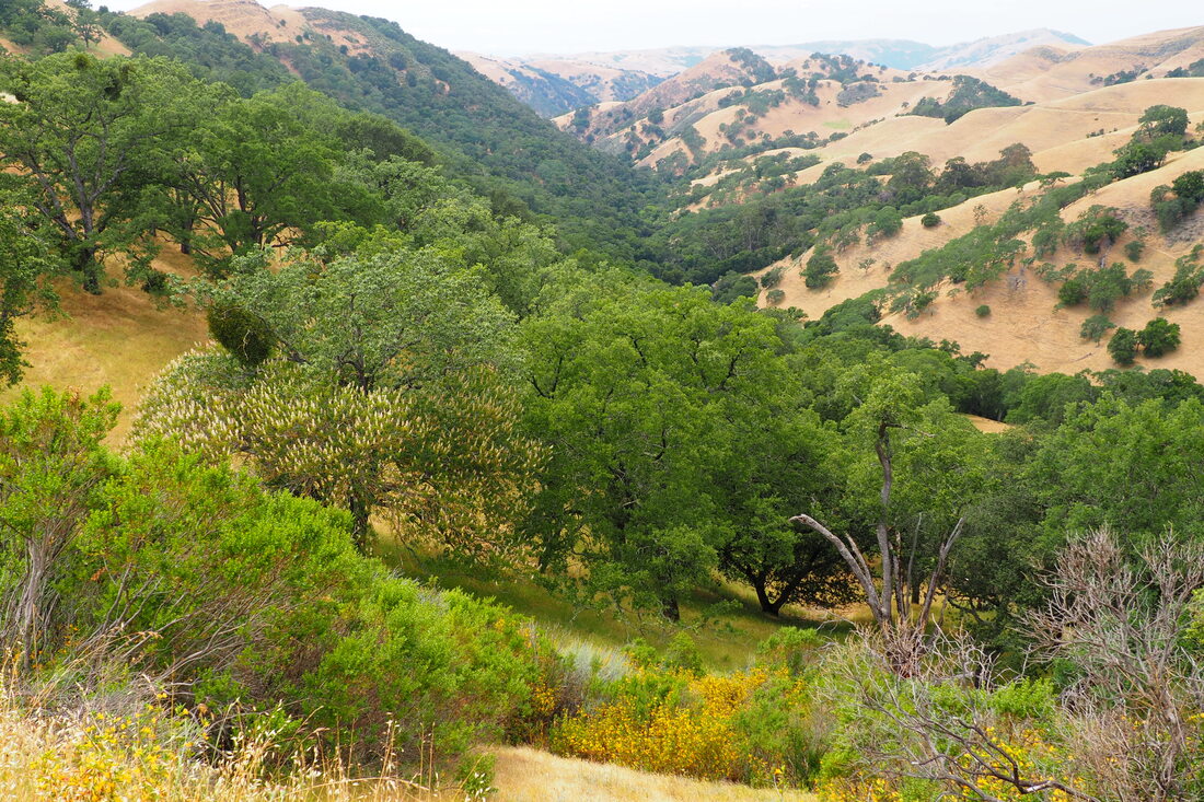
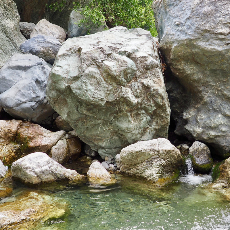
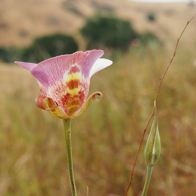
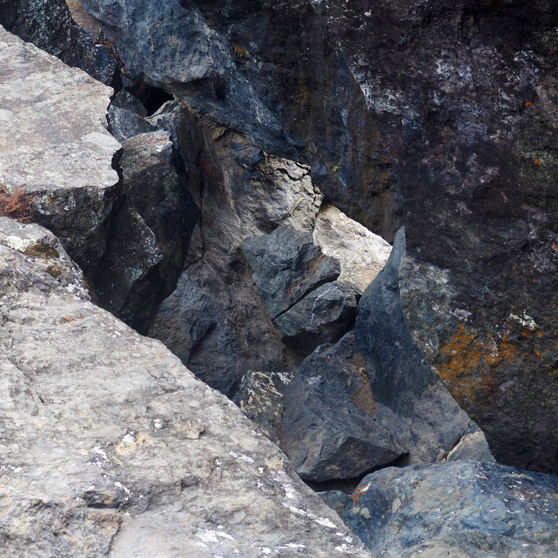
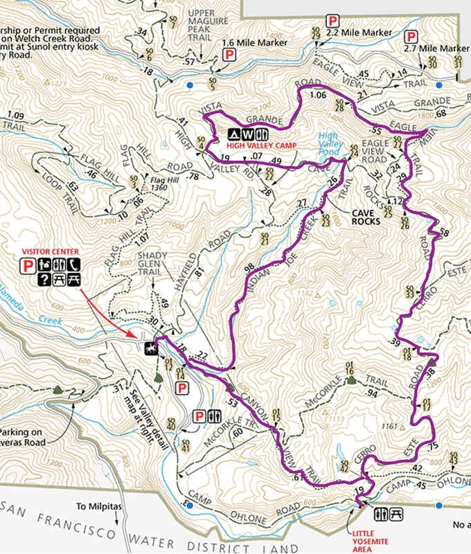
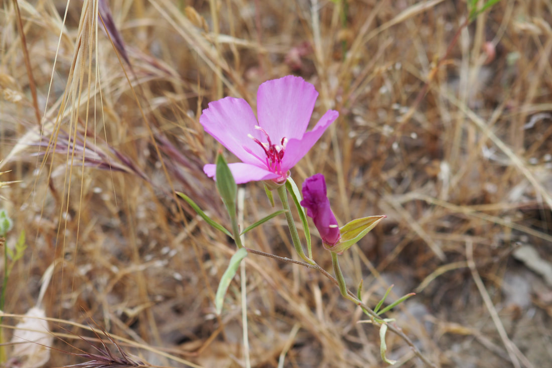
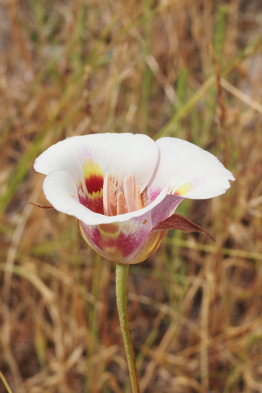
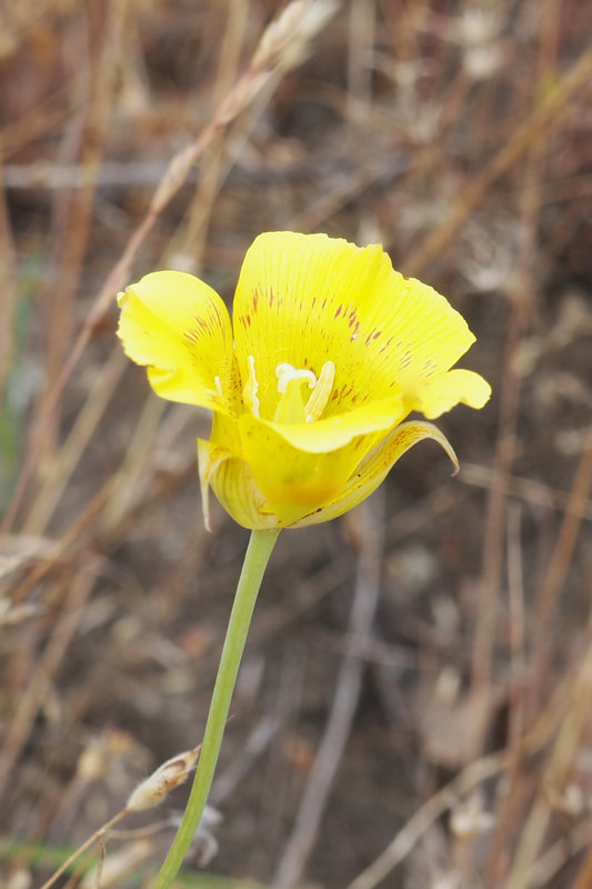
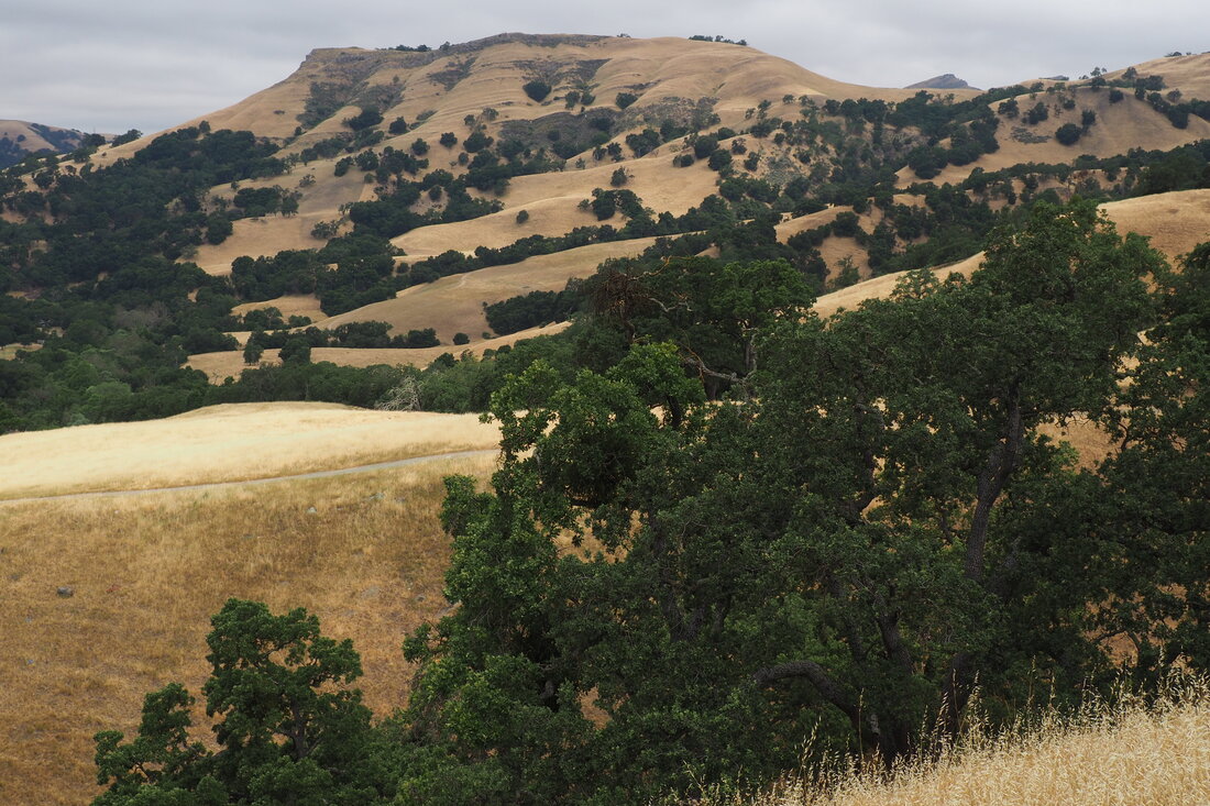
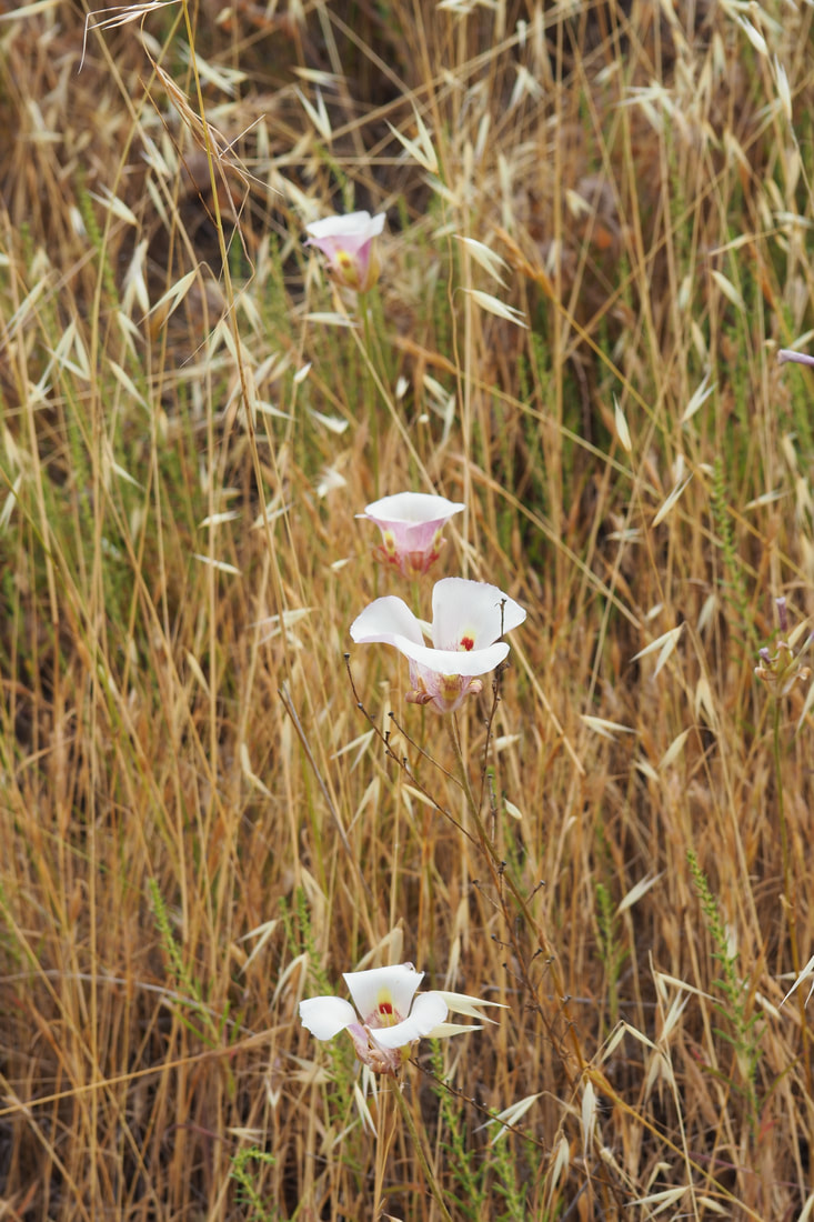
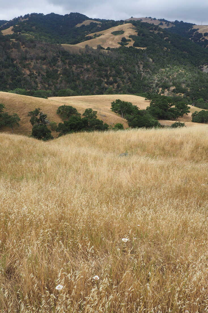
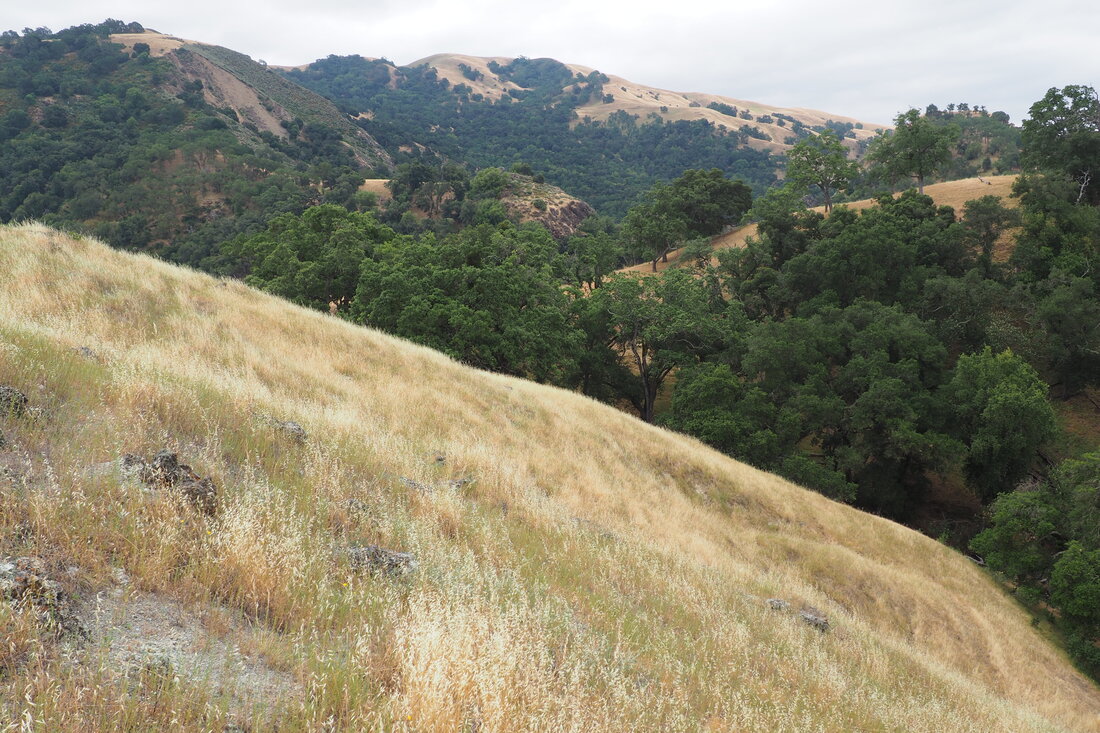
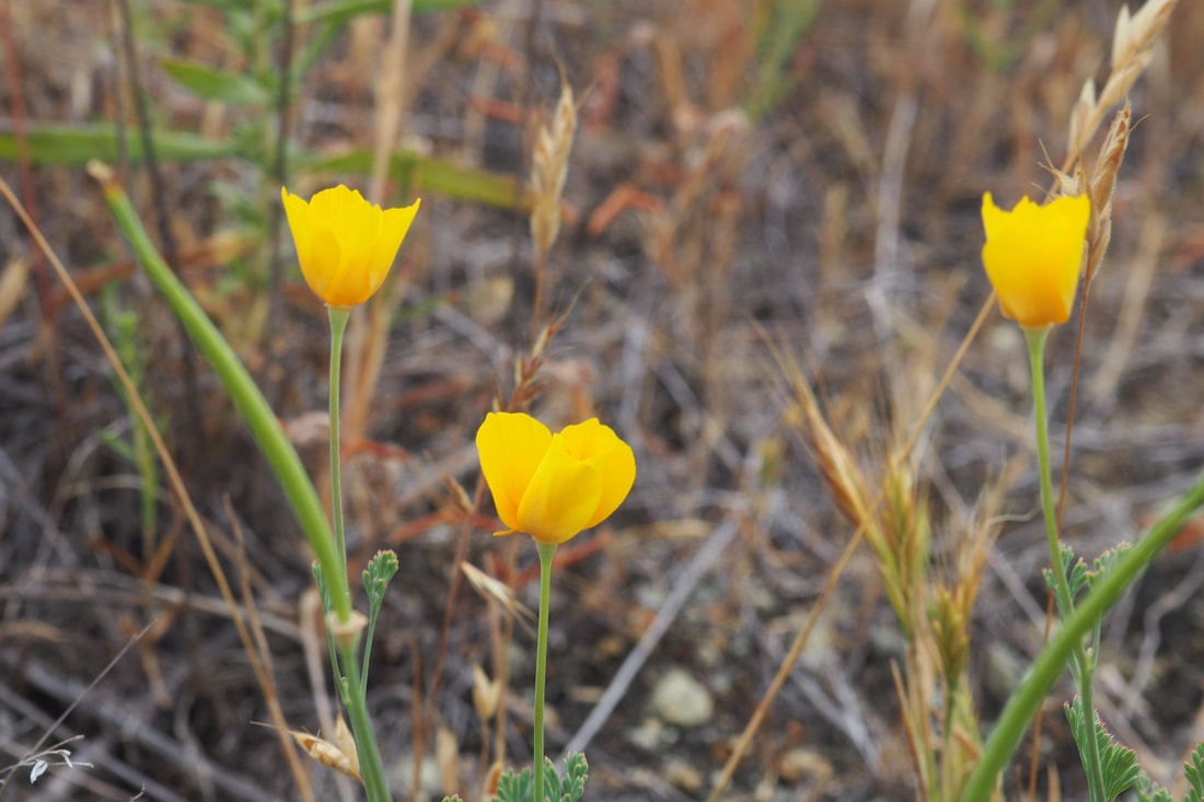
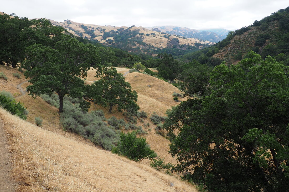
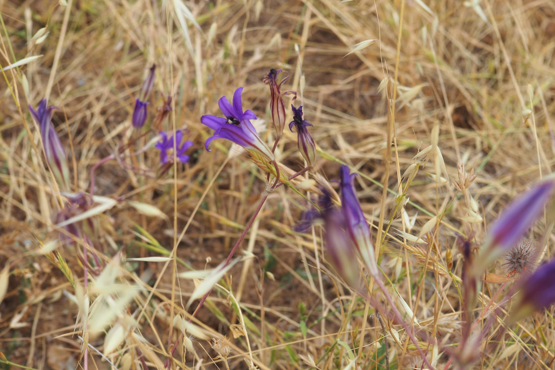
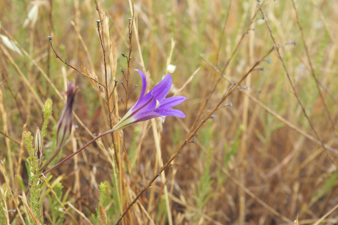
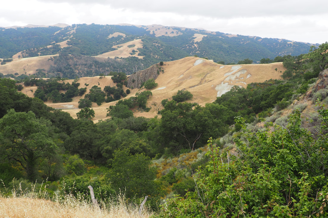
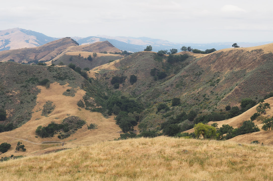
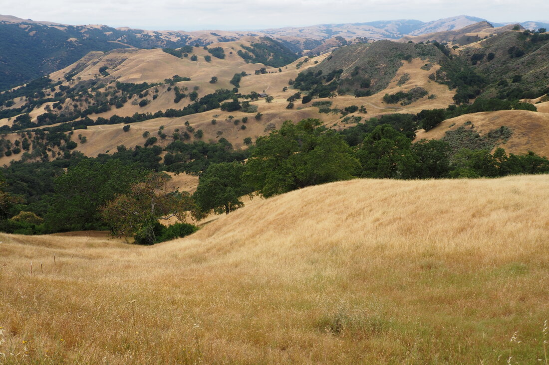
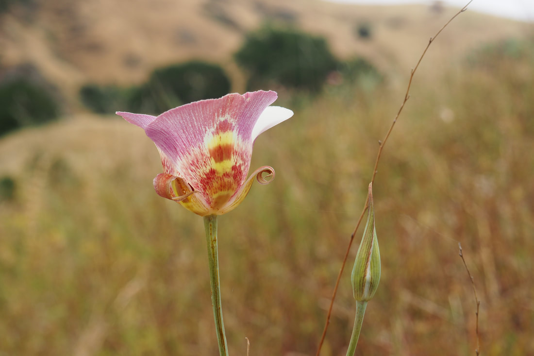
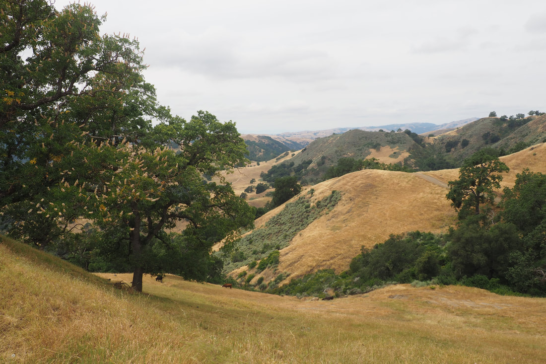
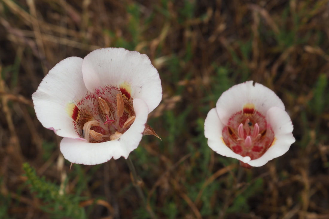
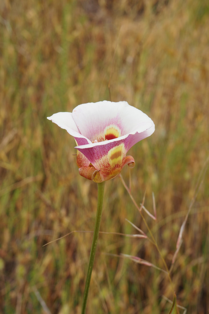
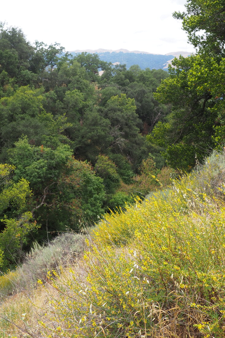
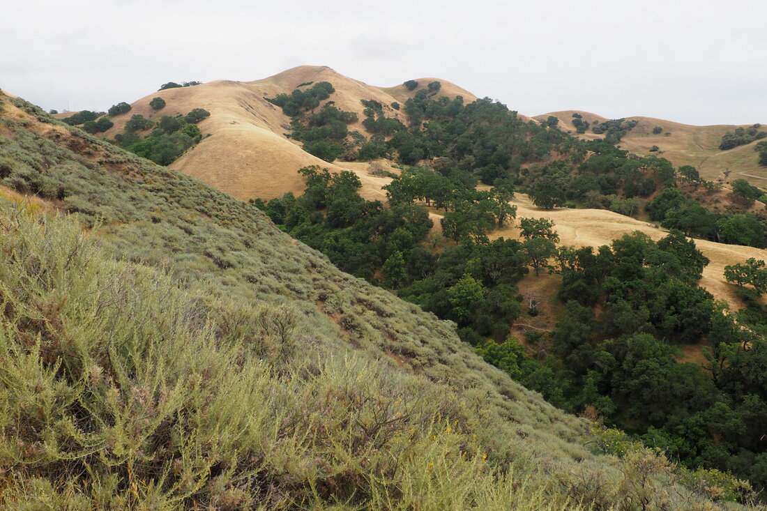
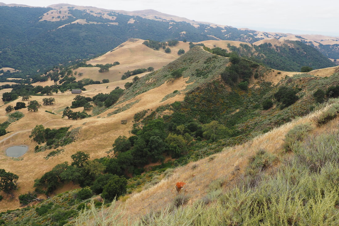
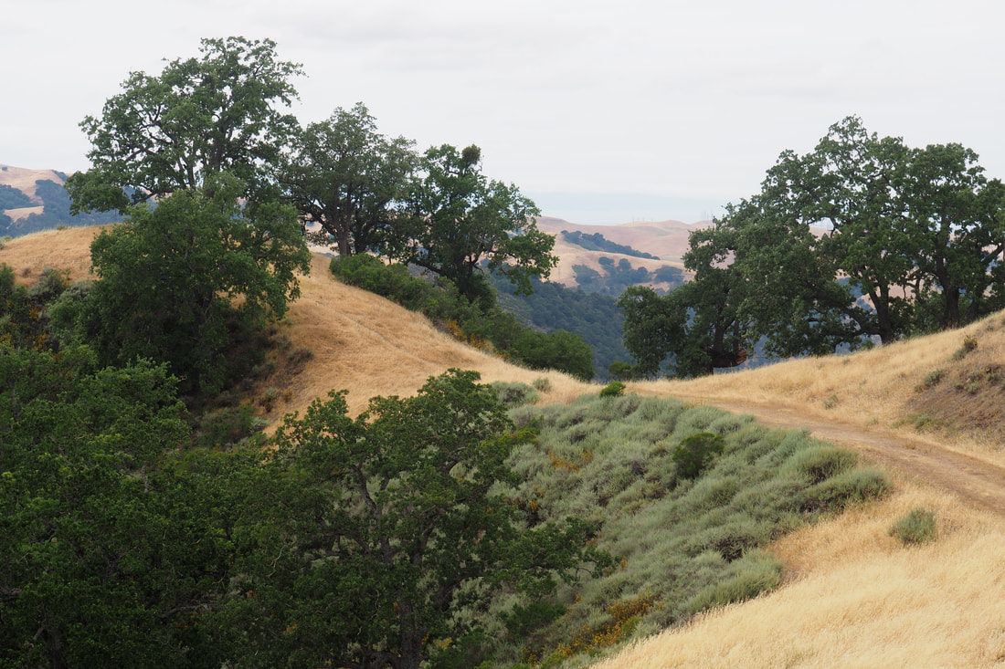
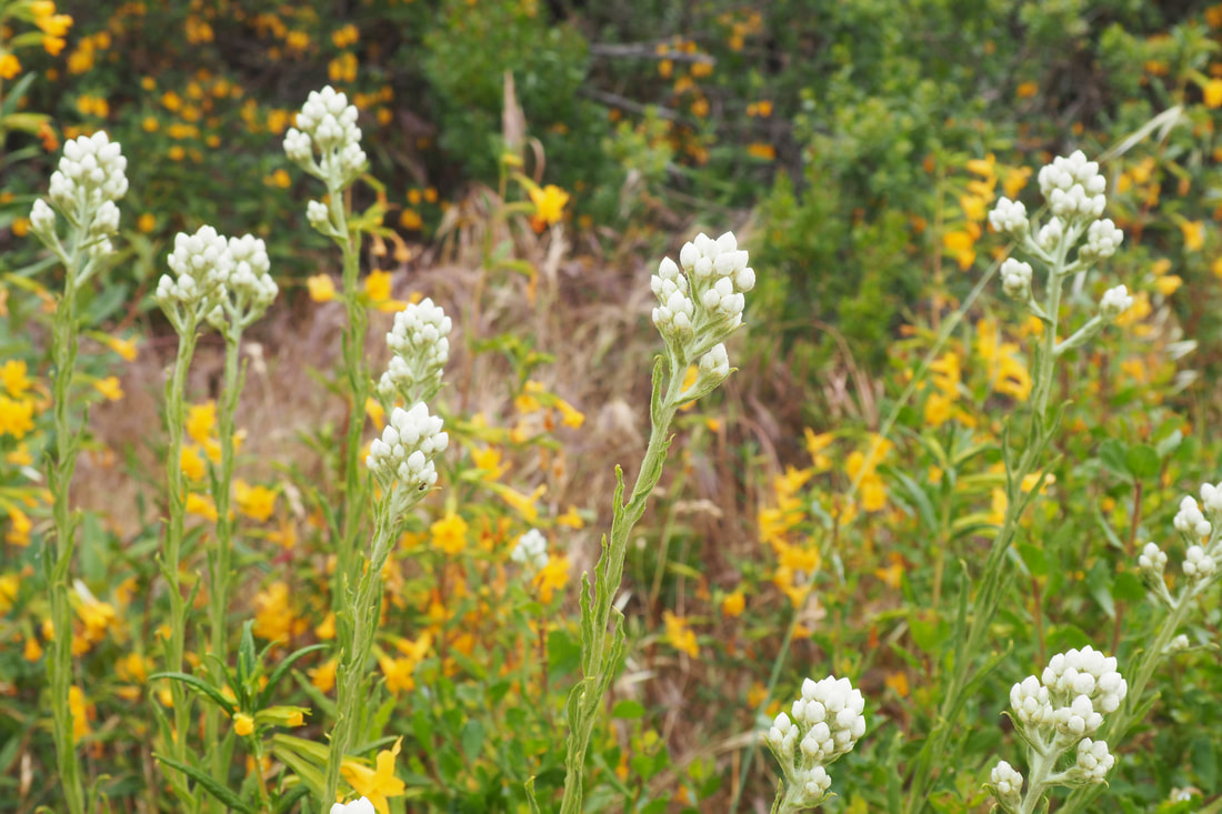
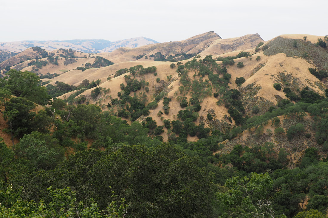
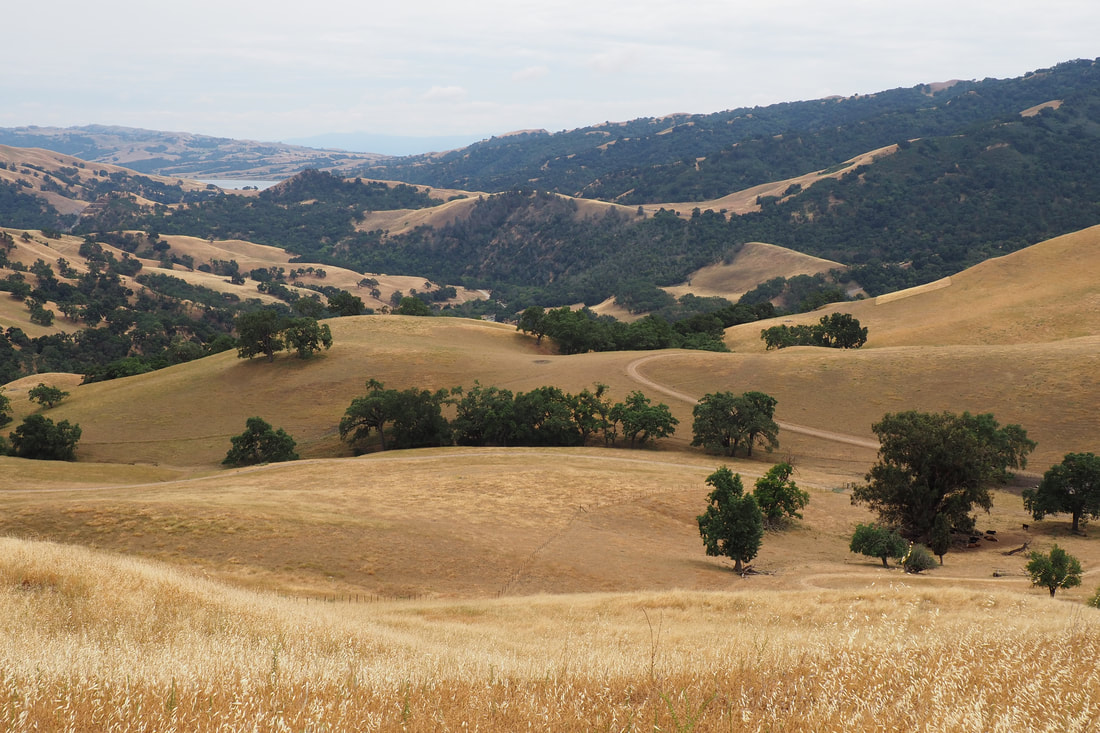
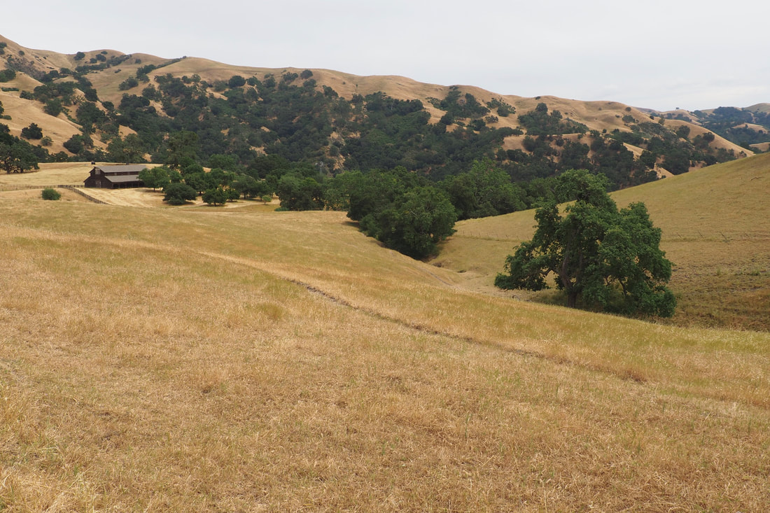
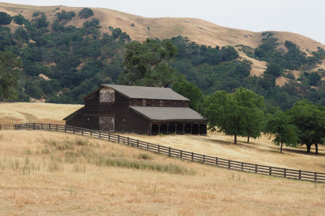
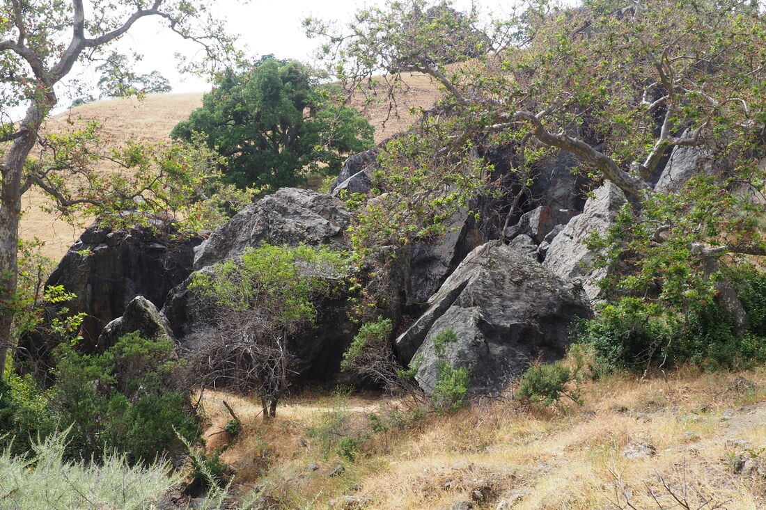
 This 8-mile hike through Sunol Regional Wilderness was a welcome return to a beloved park after its temporary closure earlier this spring. This loop, which was new to me, hits many of the highlights of the park: Little Yosemite, the cave rocks, and the old barn in the High Valley. It offers gorgeous views of the distinctive Maguire Peaks, and I saw so many of a favorite flower of mine: mariposa lilies! I love these gorgeous flowers that look like delicately painted china teacups.
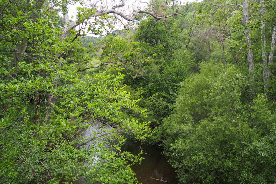
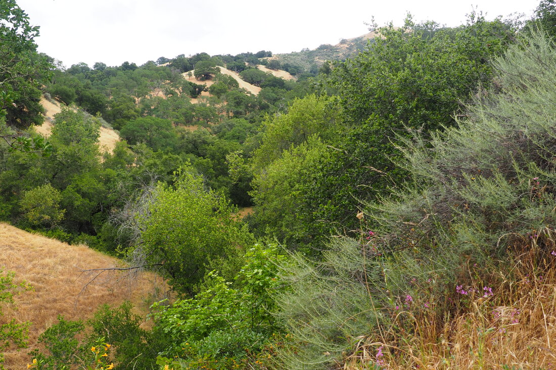
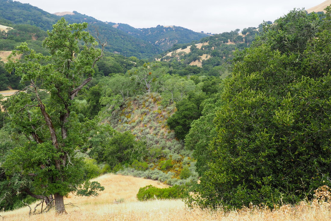
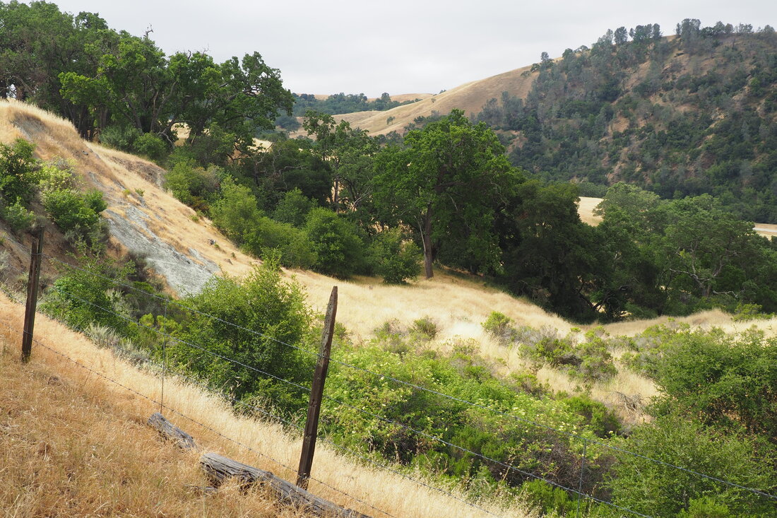
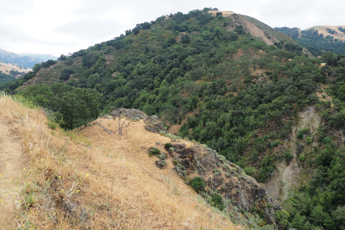
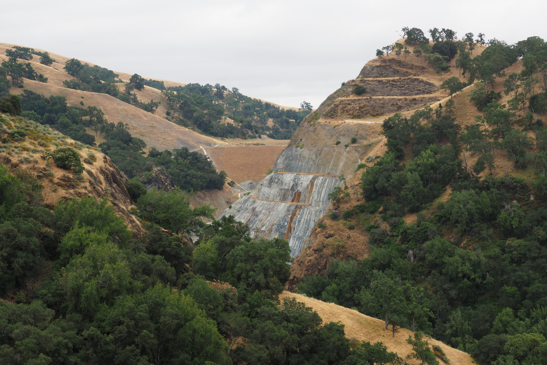
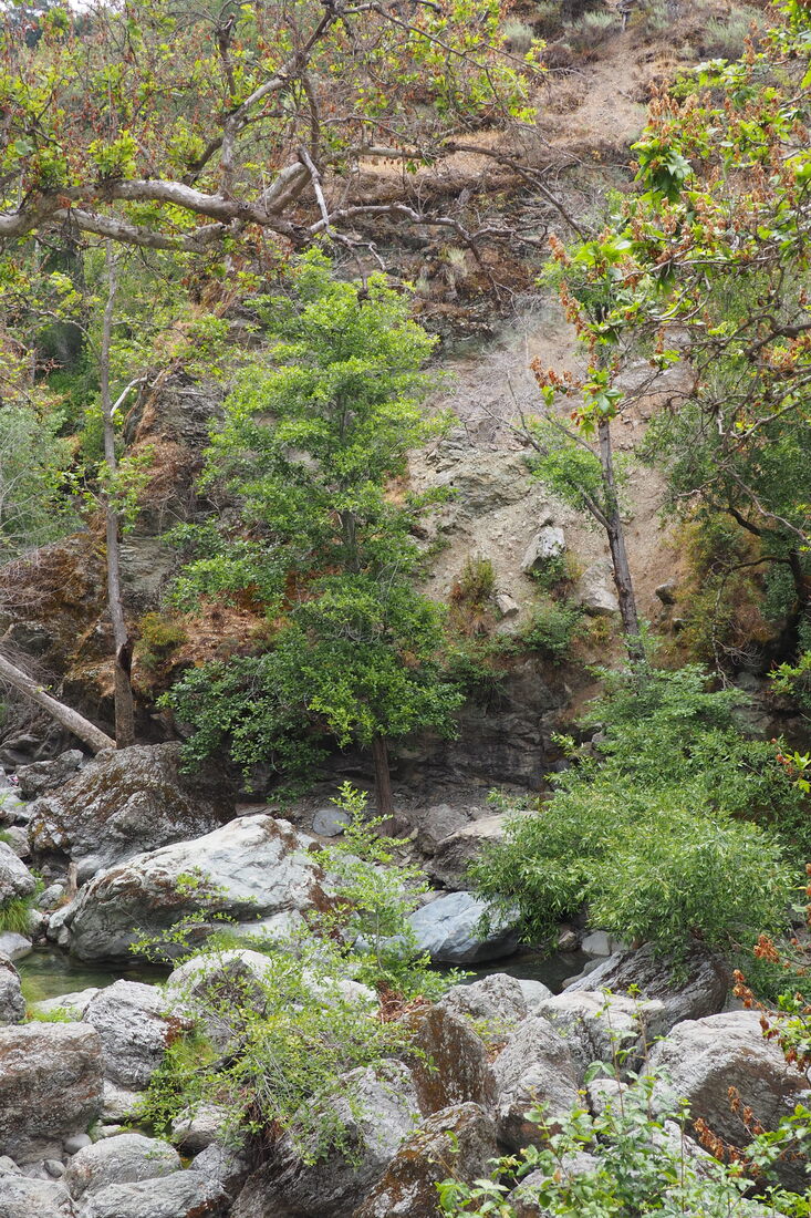
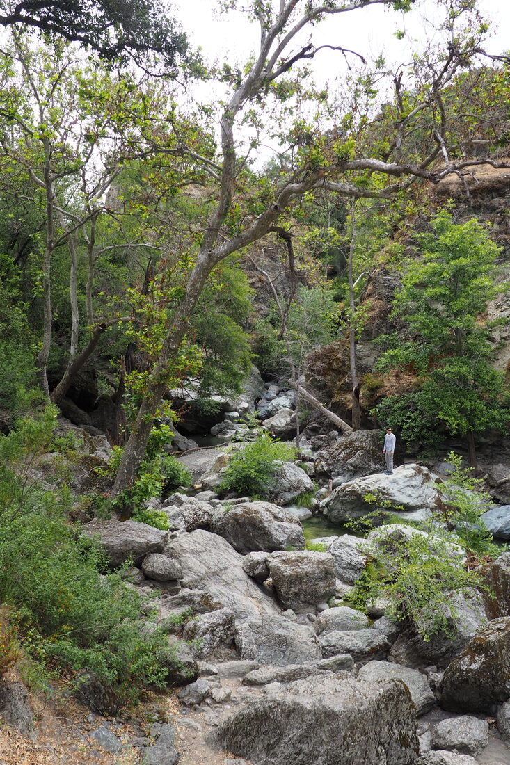
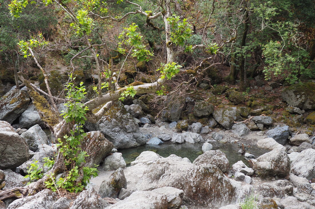
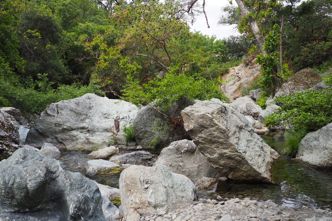
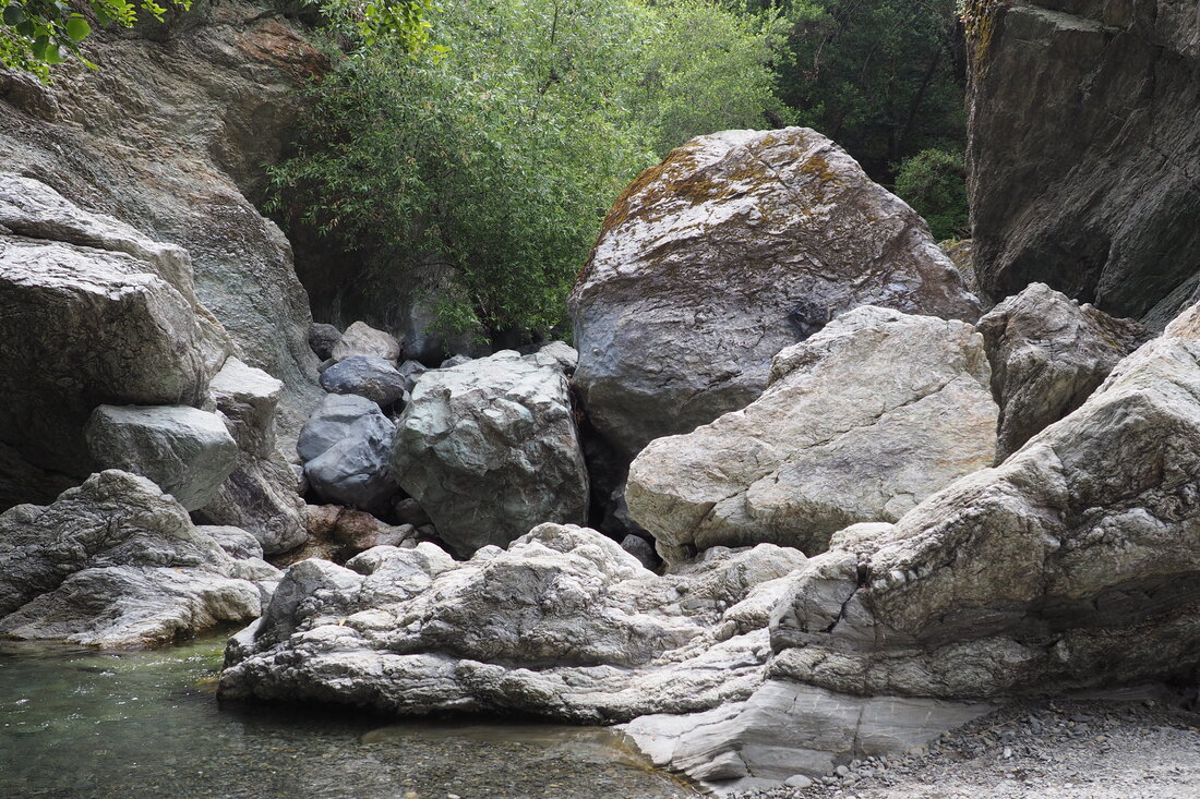
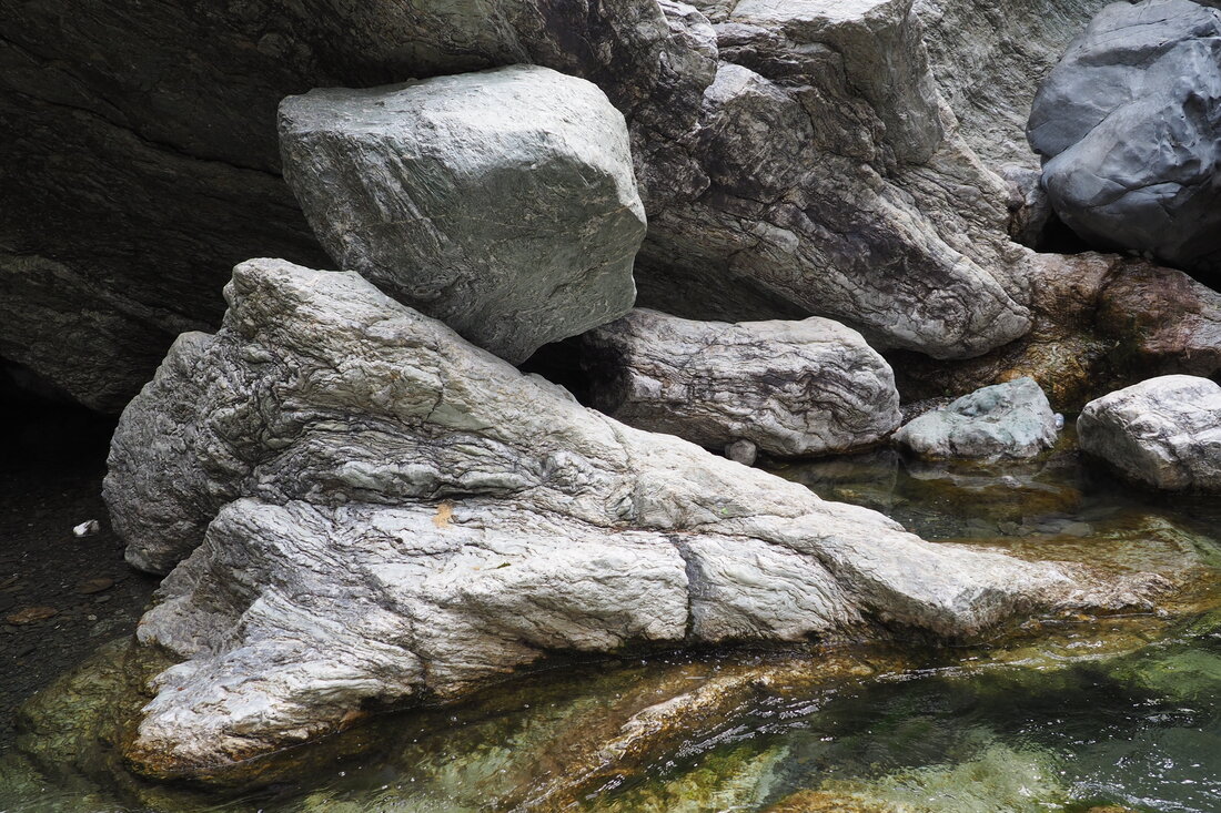
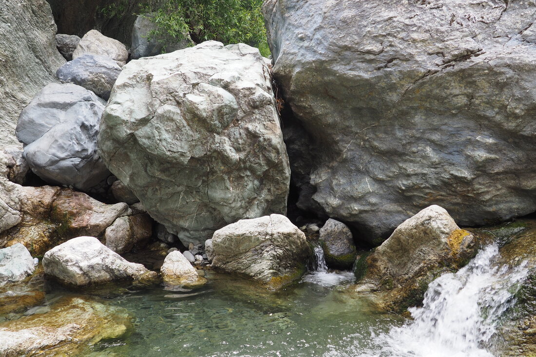
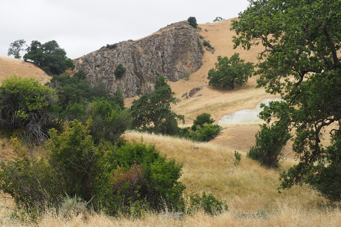
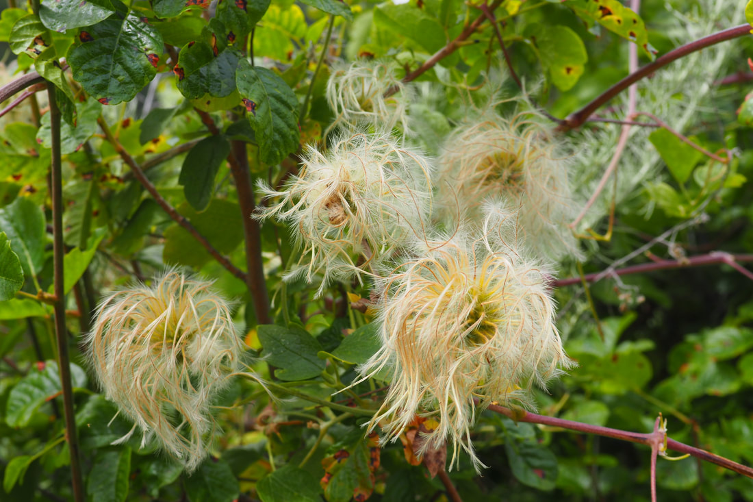
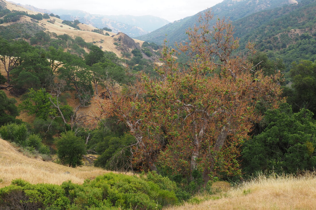
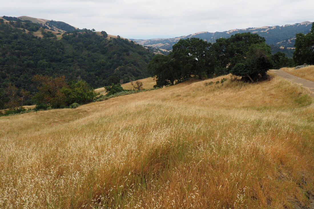
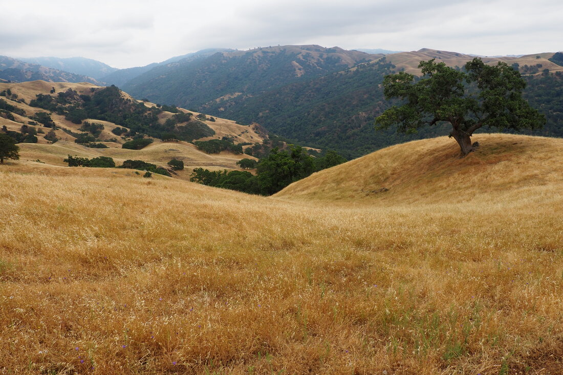
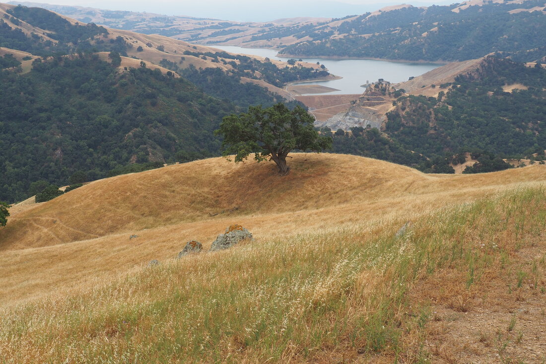
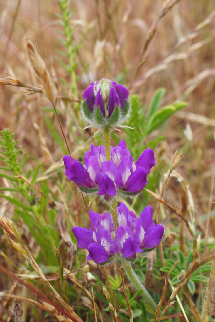
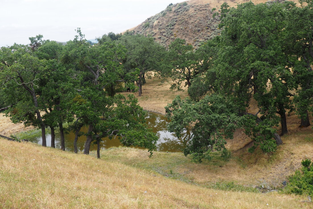
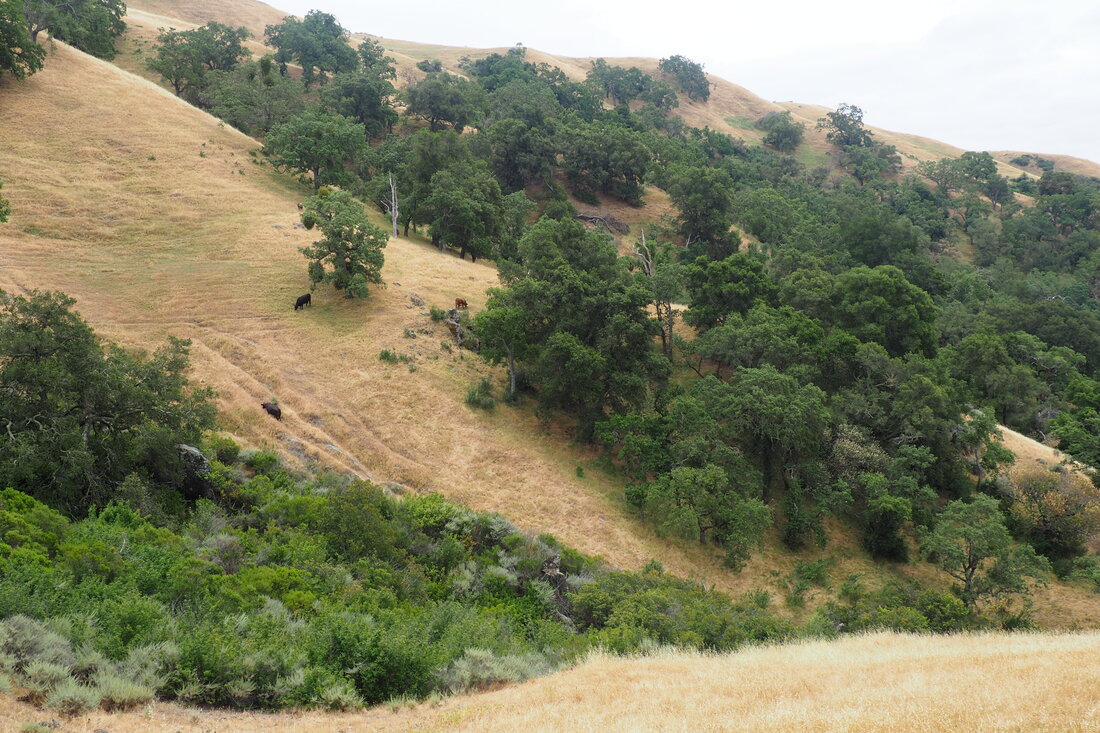
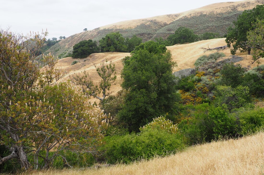
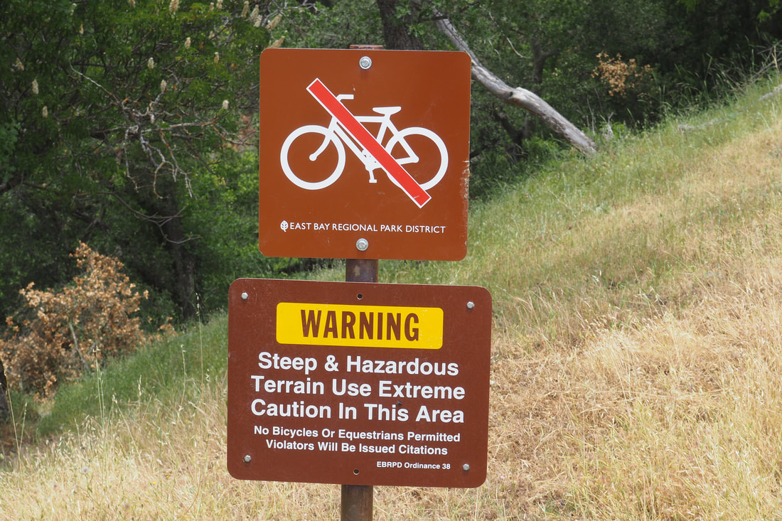
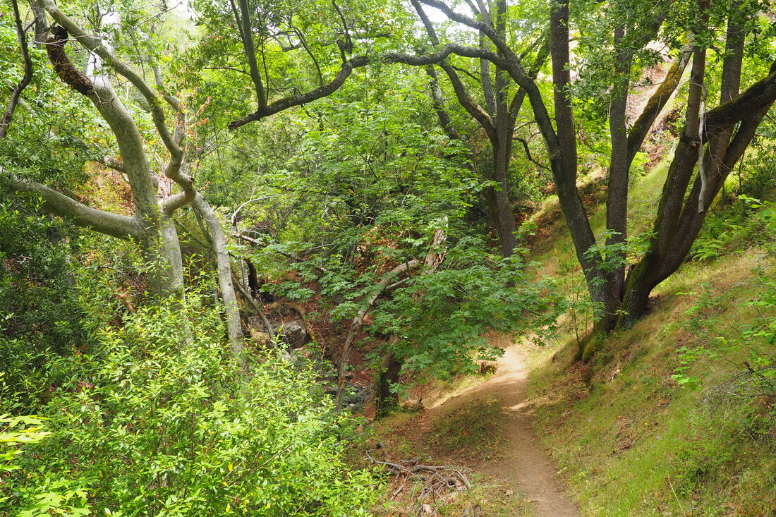
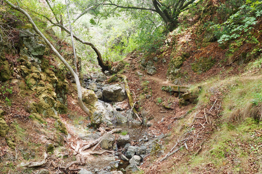
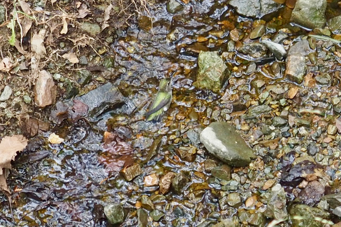
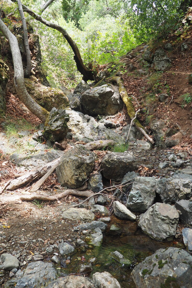
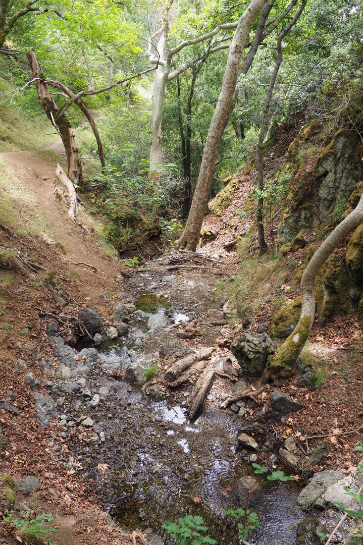
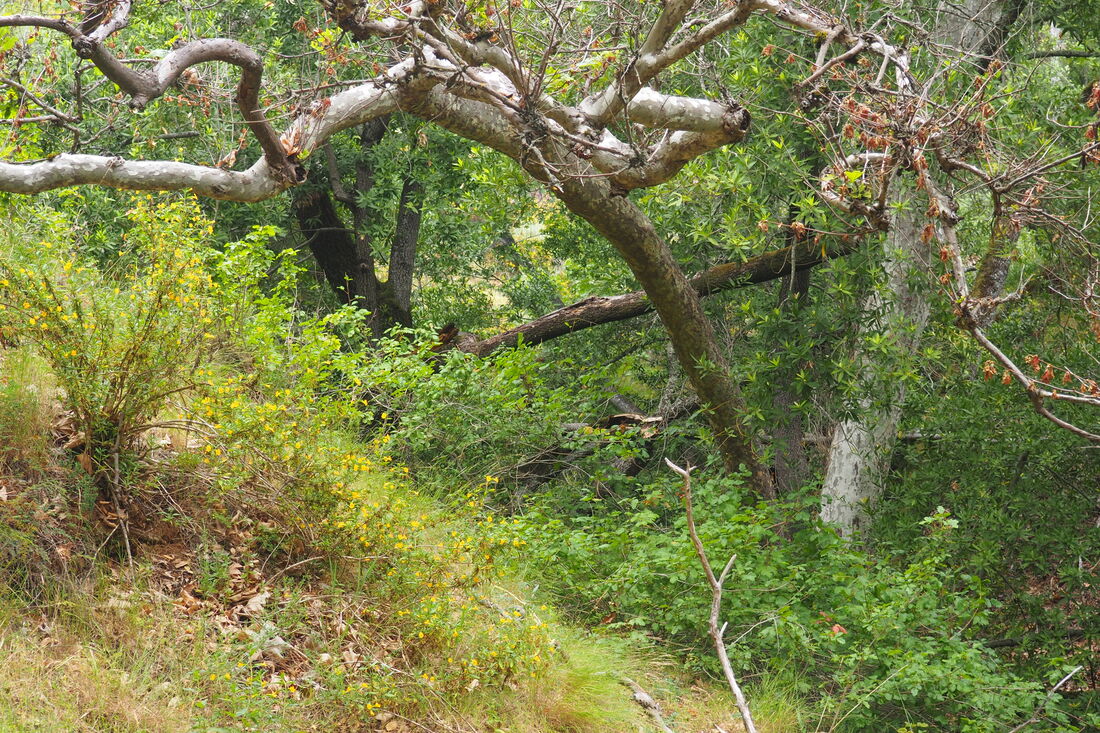
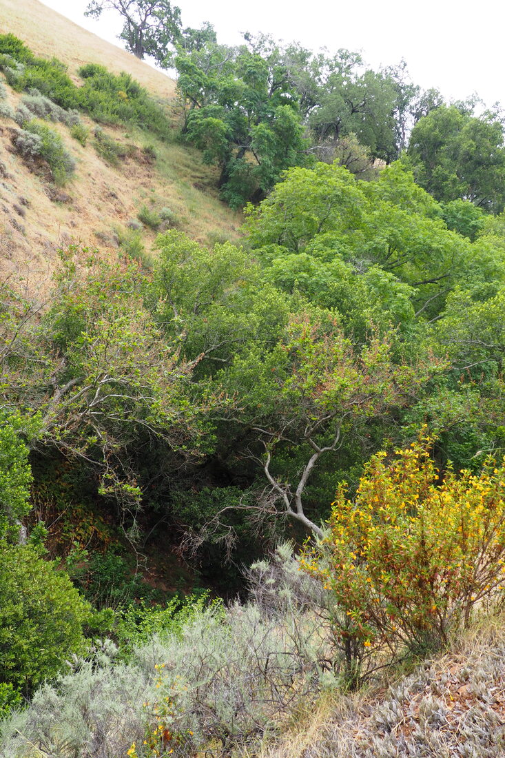
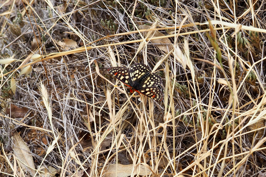
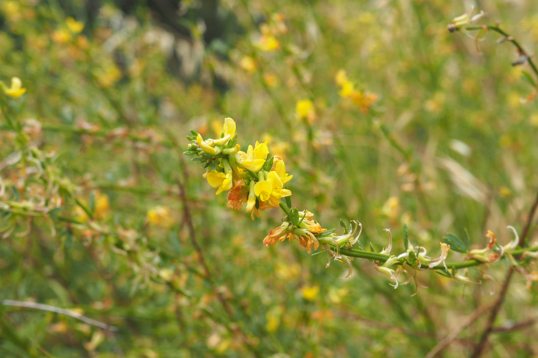
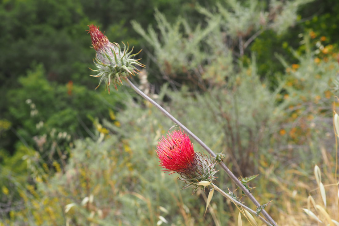
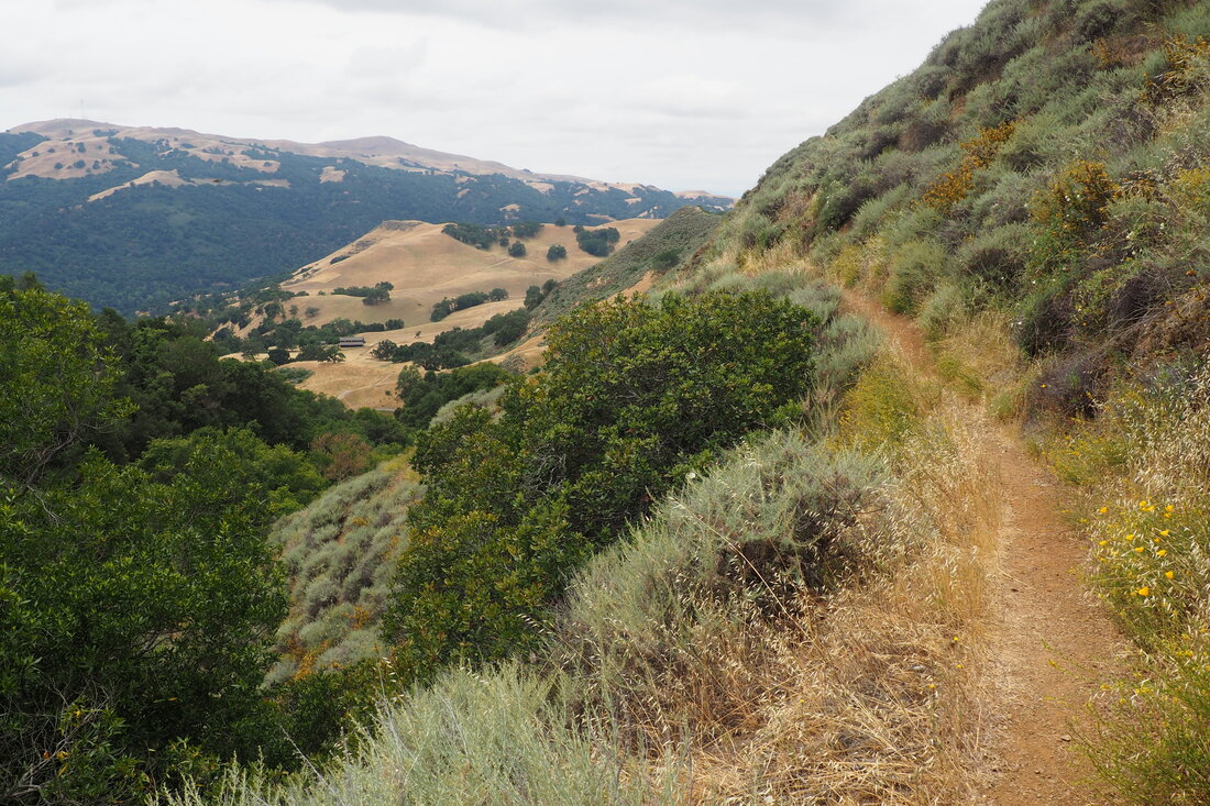
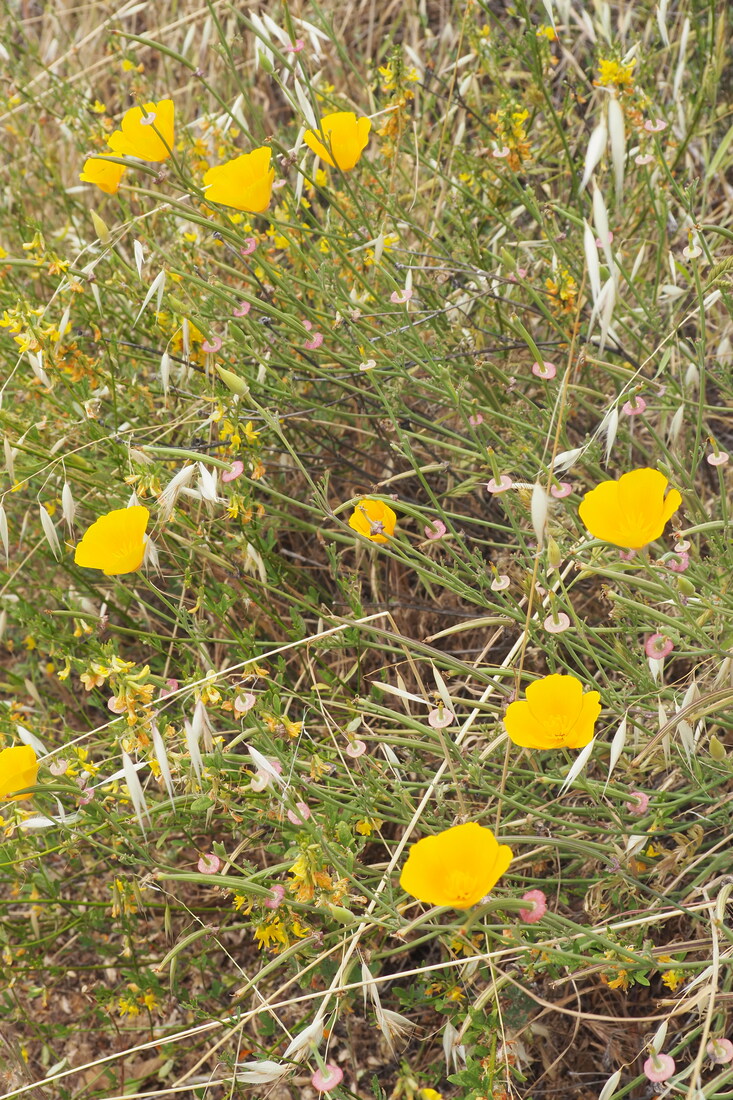
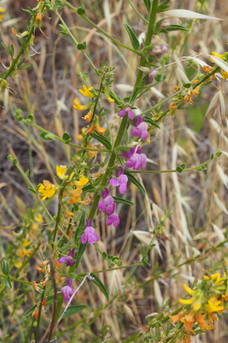
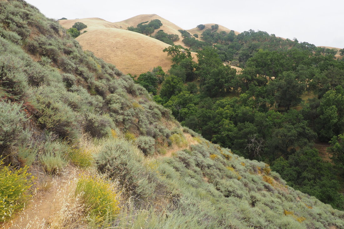
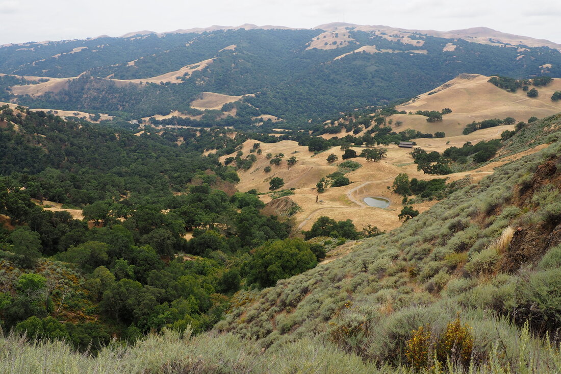
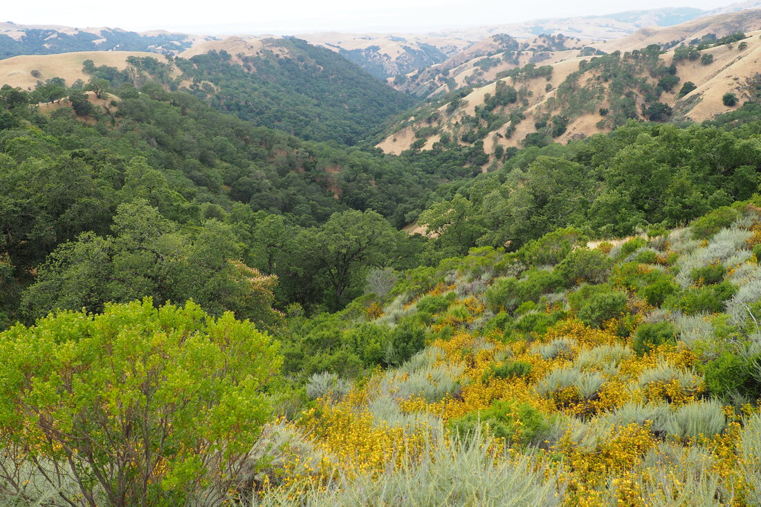
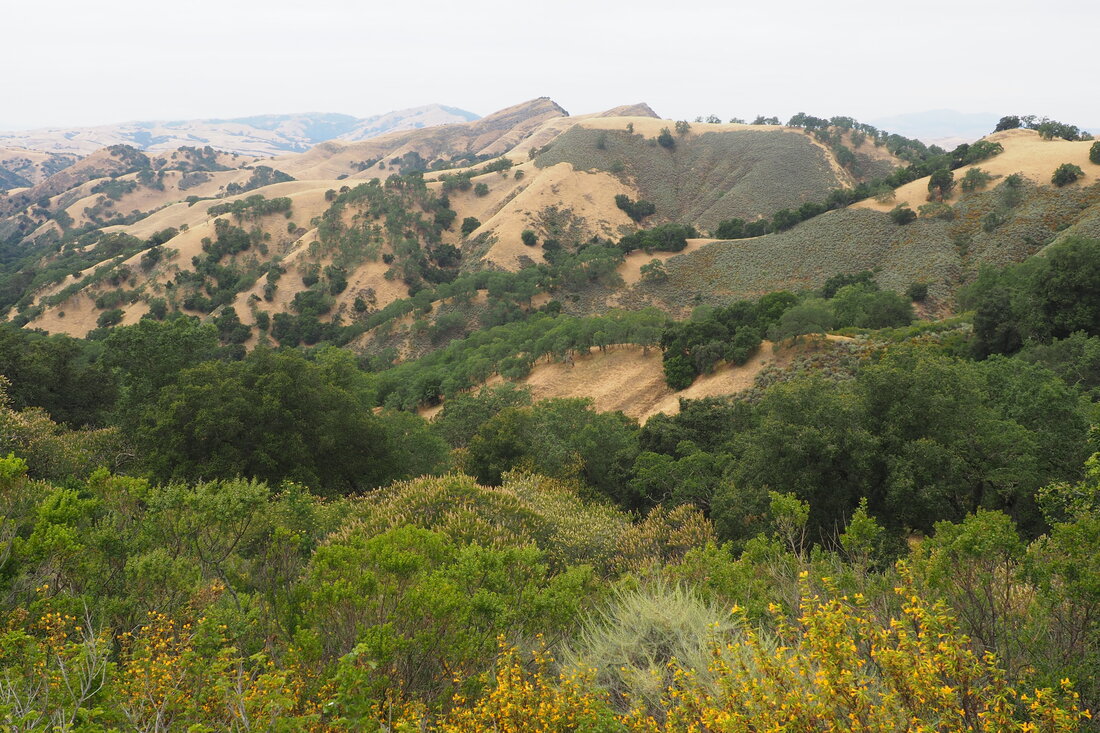
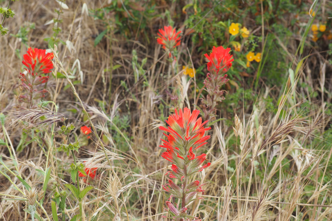
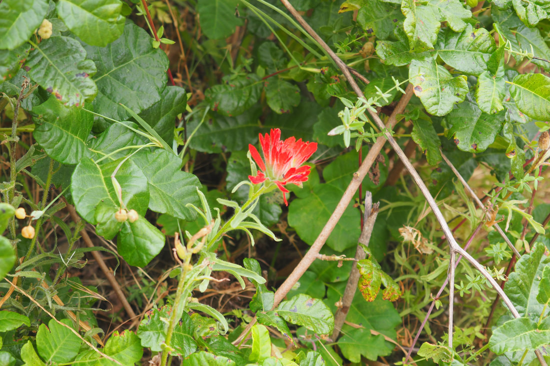
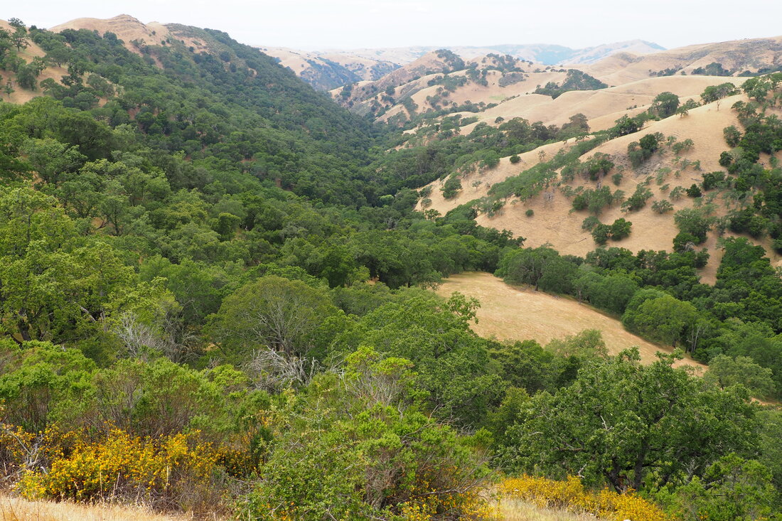
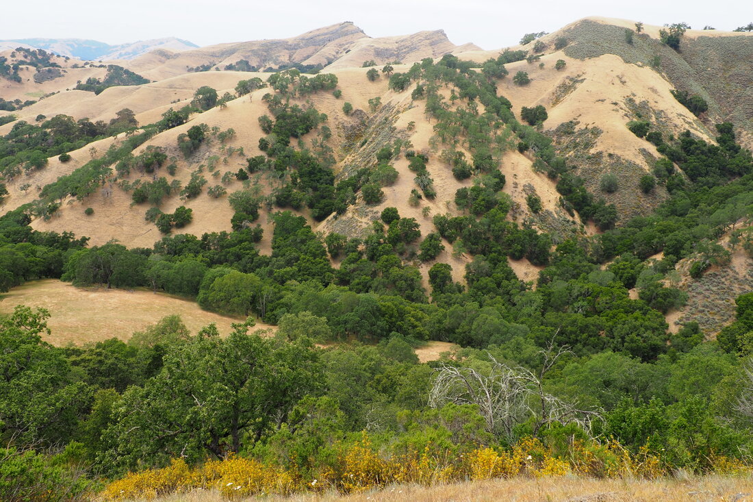
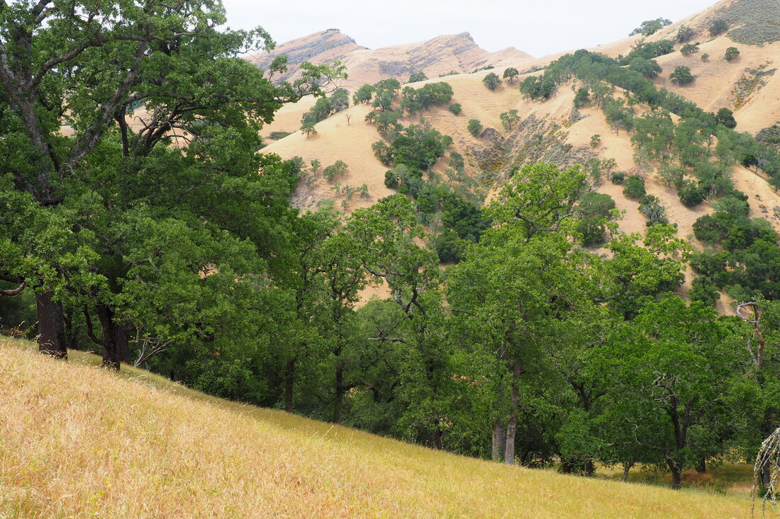
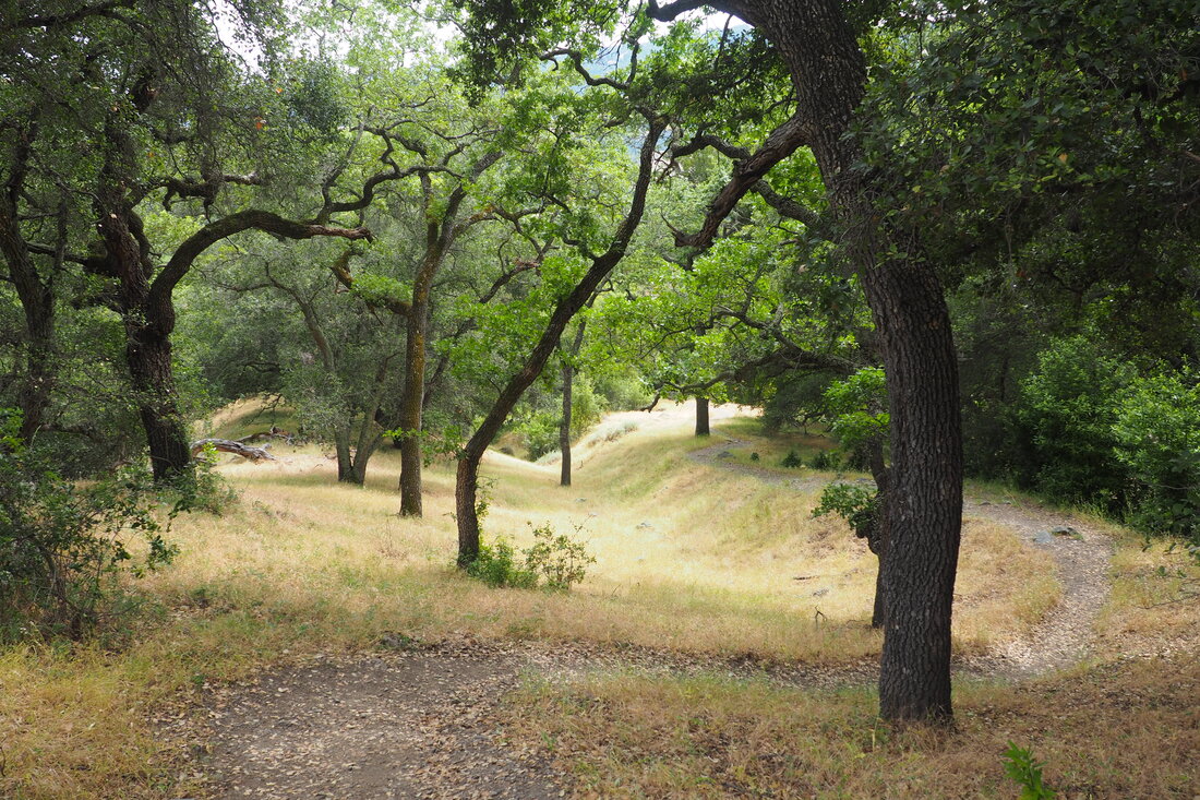
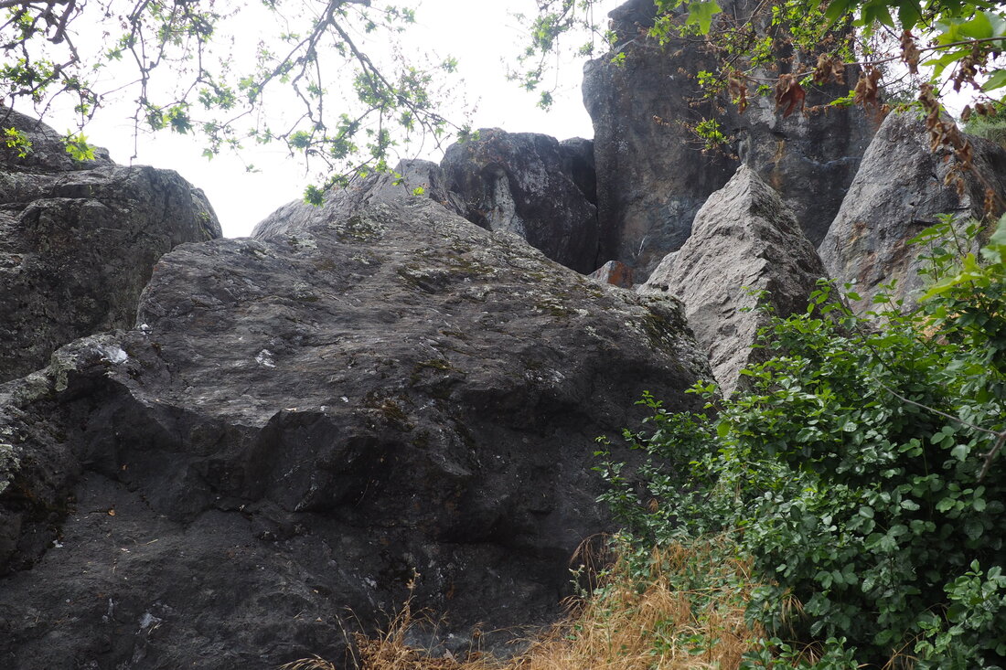
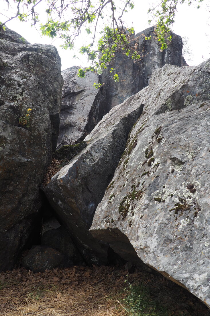
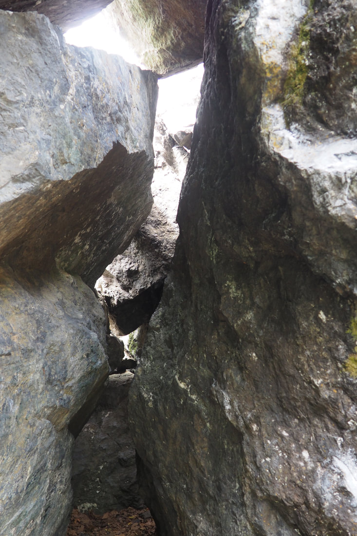
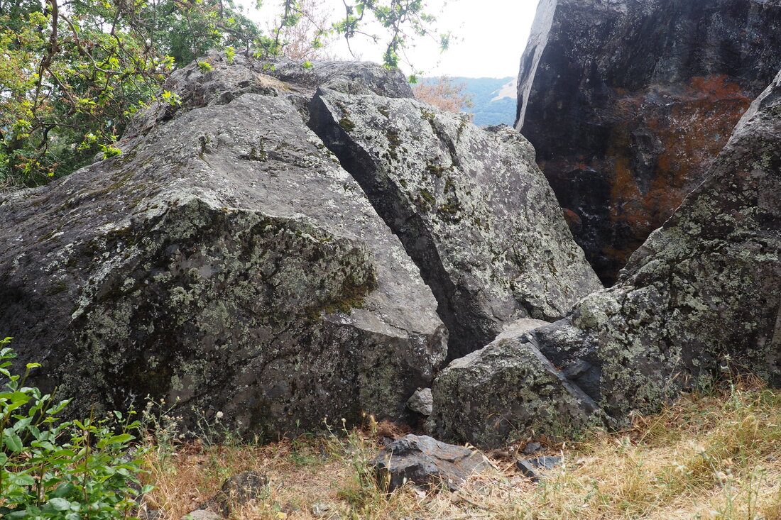
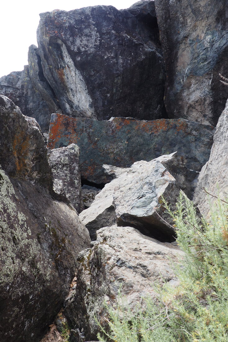
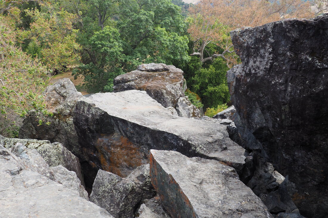
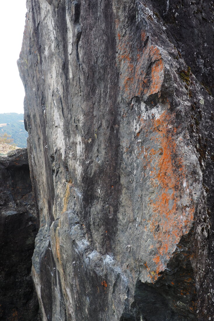
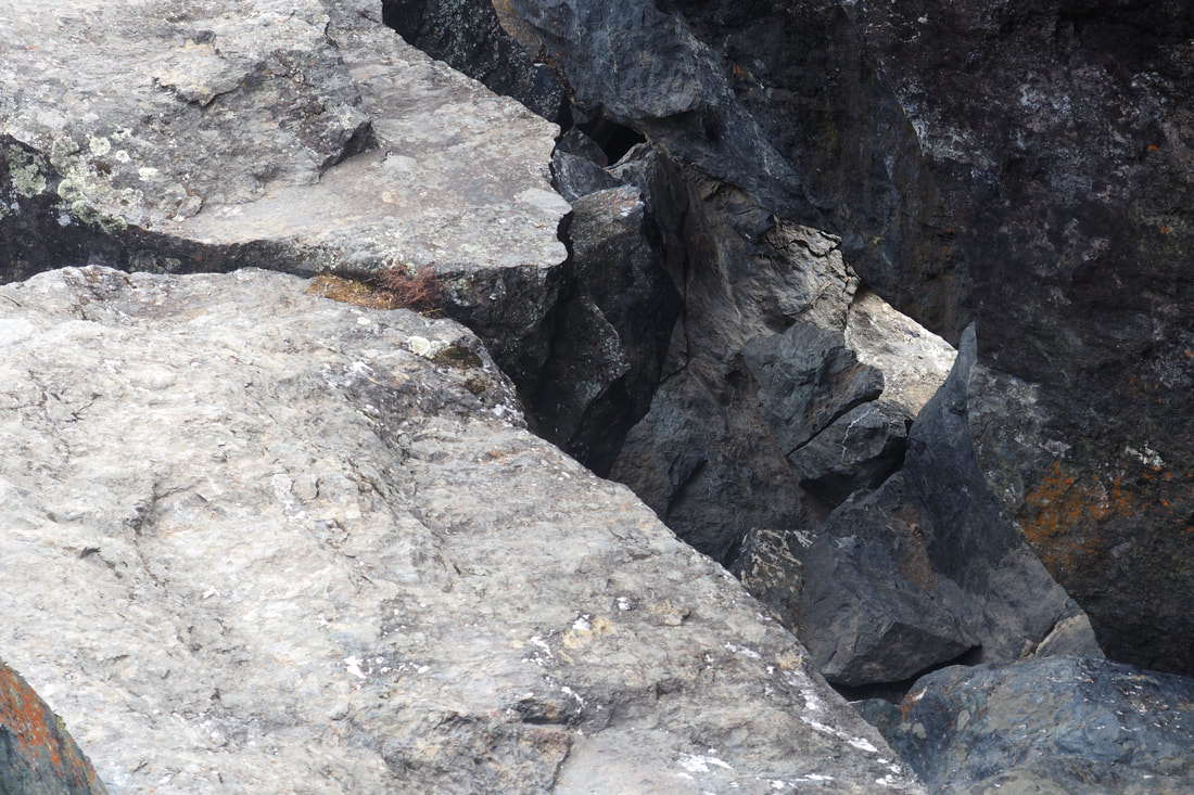
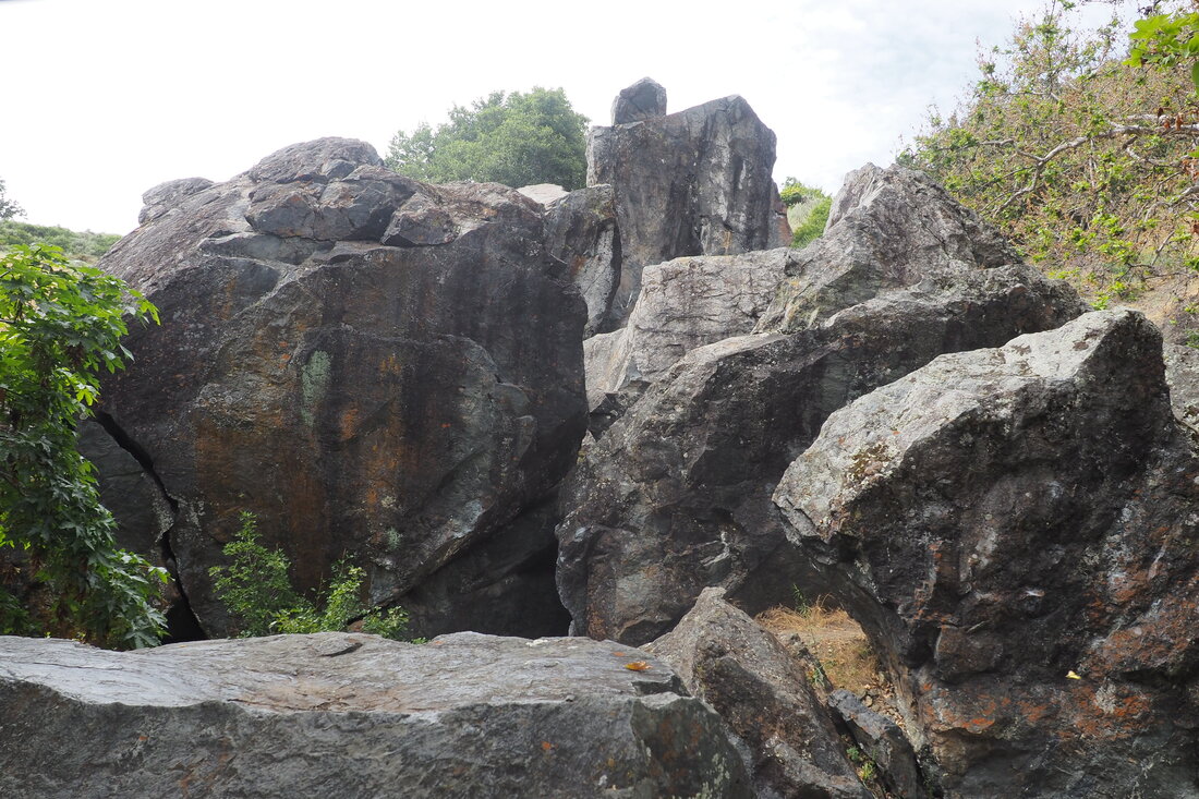
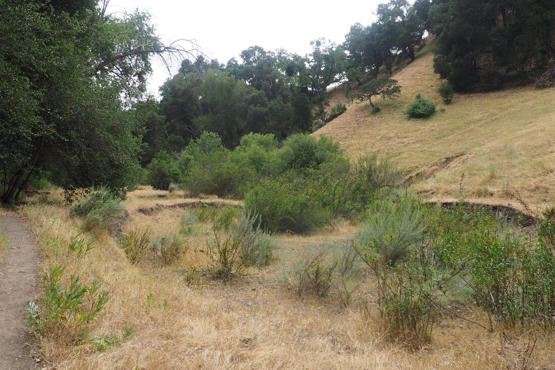
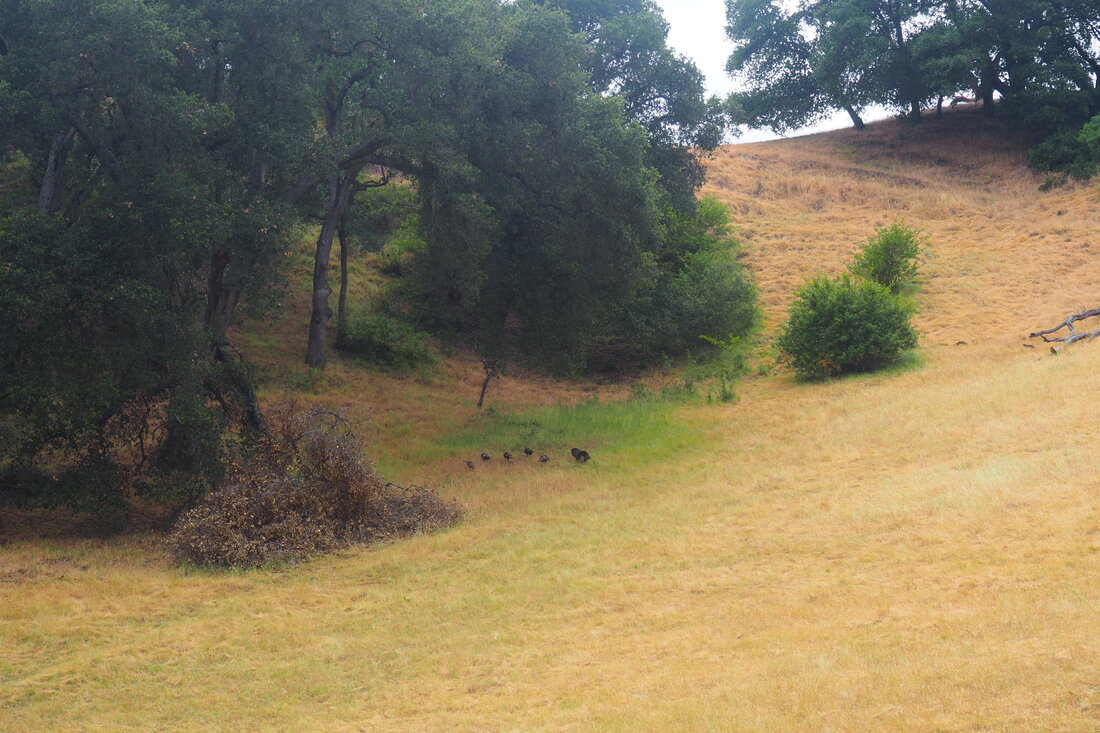
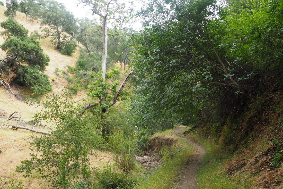
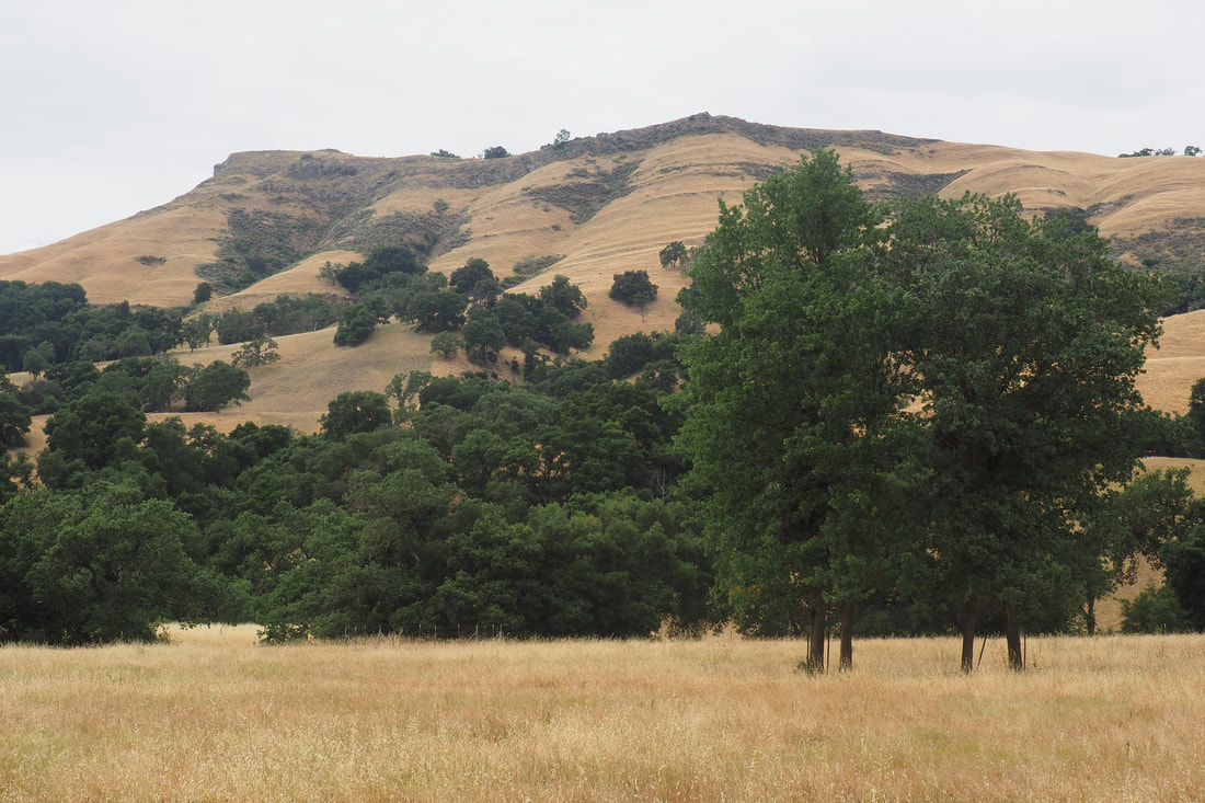
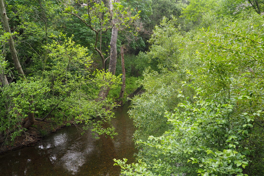
I dropped down to Little Yosemite, even though this area was more crowded than any other place in the park. Still, it seemed like people were making a real effort to maintain appropriate distances between groups. After enjoying the waterfalls for a little bit, I took the Cerro Este Road up to a high overlook. This part of the trail was easily the hardest because of the steep ascent. There are a couple of well-placed benches that are definitely nice for a rest after the hard climb up, especially while admiring the views of the Calaveras Reservoir to the south. When Cerro Estes Road comes to a T, go to the left to stay on the trail. Confusingly, the trail is labeled here as the Cerro Estes "Overlook" even though that is not the nomenclature on the map. Eventually the trail forks again, at which point you head to the left for Cave Rocks Road. The views here are wonderful, and there are more flowers to watch for. In very late May/early June, I saw mariposa lilies, but it looks like the lupine was spectacular here a few weeks ago. When the single-track Eagle View Trail peals off to the right, take that. This was a part of the park that I had never explored before, and I loved it. The trail is very narrow through a wonderful canyon gorge. The canyon was evidently carved out by water erosion, and there was water in the stream when I went. The southern side of the canyon was riparian forest and the northern, sunny side of the canyon was chaparral. Seeing the two ecosystems so close to one another was very cool. Also, I saw a hummingbird taking a bath in the stream, which was so endearing. Climbing out of the gorge on the chaparral side, I was treated to amazing views of almost all of Sunol. There were a lot more flowers on this side, some of which I have not identified yet (definitely a species of poppy, thistle, broom, and sage). Also, there were so many butterflies. I loved it, and I did not see a single other hiker in this remote part of the park. Eventually the Eagle View Trail intersects with the Vista Grande Road, and here you turn left. The views on this trail are stunning, especially the views of Maguire Peaks. Along this trail I saw Indian paintbrush, pearly everlasting, and so many hummingbirds. They were buzzing all around me, and it added such a lovely aural experience to the hike. It made me think about Mount Umunhum, the mountain that is actually named for the hummingbirds. I doubt that Sunol is the exact same ecosystem (I don't think that the peaks here are as tall as Mount "Hum"), but the high peaks in Sunol might share some overlapping species with Mount Hum. This trail starts to wind downhill, at which point you can take the High Valley trail toward the old barn. Head past it, then take Indian Joe Creek Trail to the right. This single-track trail heads past some very interesting "cave rocks" where climbers like to boulder. When I went, I had the place almost entirely to myself. The rest of the trail back to the valley is extremely scenic. It makes for a lovely ending to a wonderful loop as you head back to the Visitor Center. I love this park SO much. I am so glad that it has opened again! Things are so hard in the world right now with both a global pandemic and the incredible violence of both police brutality and systemic racism. It gives me a lot of hope to be out in nature, especially when the flowers are blooming, and it helps me to feel at peace for a while. These public parks--which belong to all of us--are important spaces where we can all be together right now, even if we have to maintain our social distance.
2 Comments
Shea Lance
7/5/2020 02:43:23 pm
Thanks for this recommendation, and for maintaining this blog! Followed your route today and really enjoyed it.
Claire
7/6/2020 09:46:11 am
Glad to hear it! I'm impressed that you did the hike in July! It can get really hot in hills anytime the temperatures go above 85° in the towns around here (Pleasanton, Sunol, Livermore). You must have hit the trail early in the morning. Leave a Reply. |
Archives
December 2020
Categories
All
|

 RSS Feed
