Lonely Hiker
  • Home
  • About
  • Regions
  • Parks
  • Trails
  • Photography

Trails

Los Vaqueros

11/15/2020

0 Comments

 
Picture
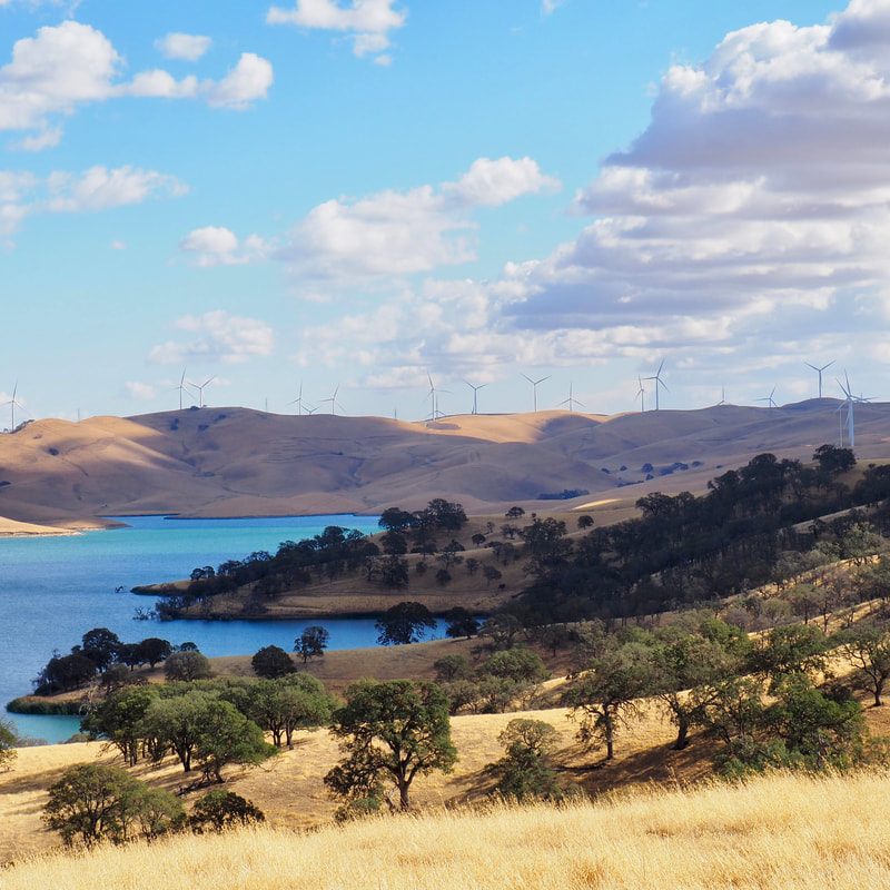
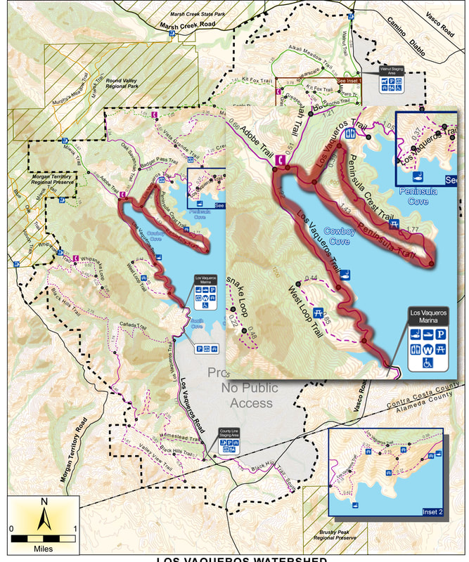
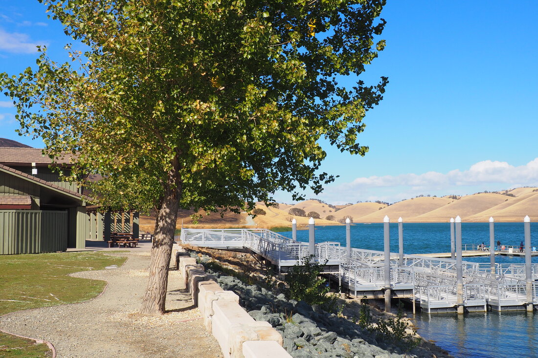
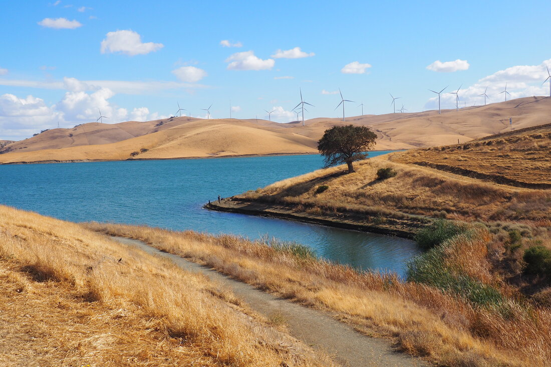
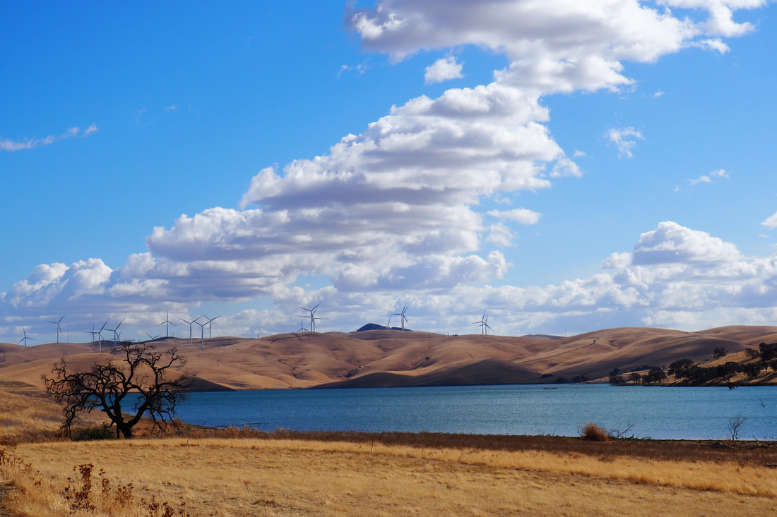
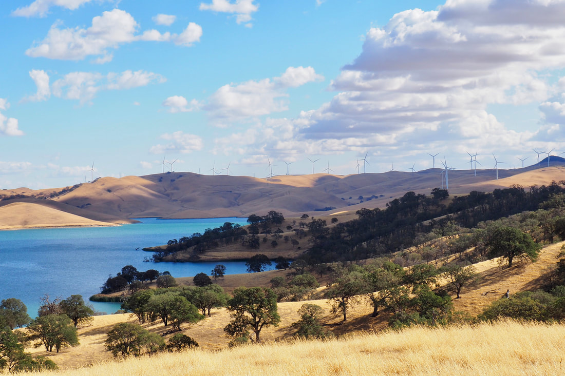
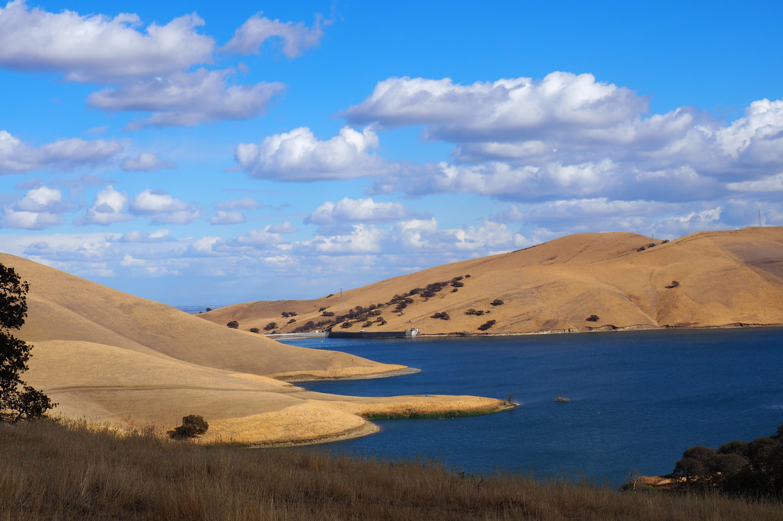
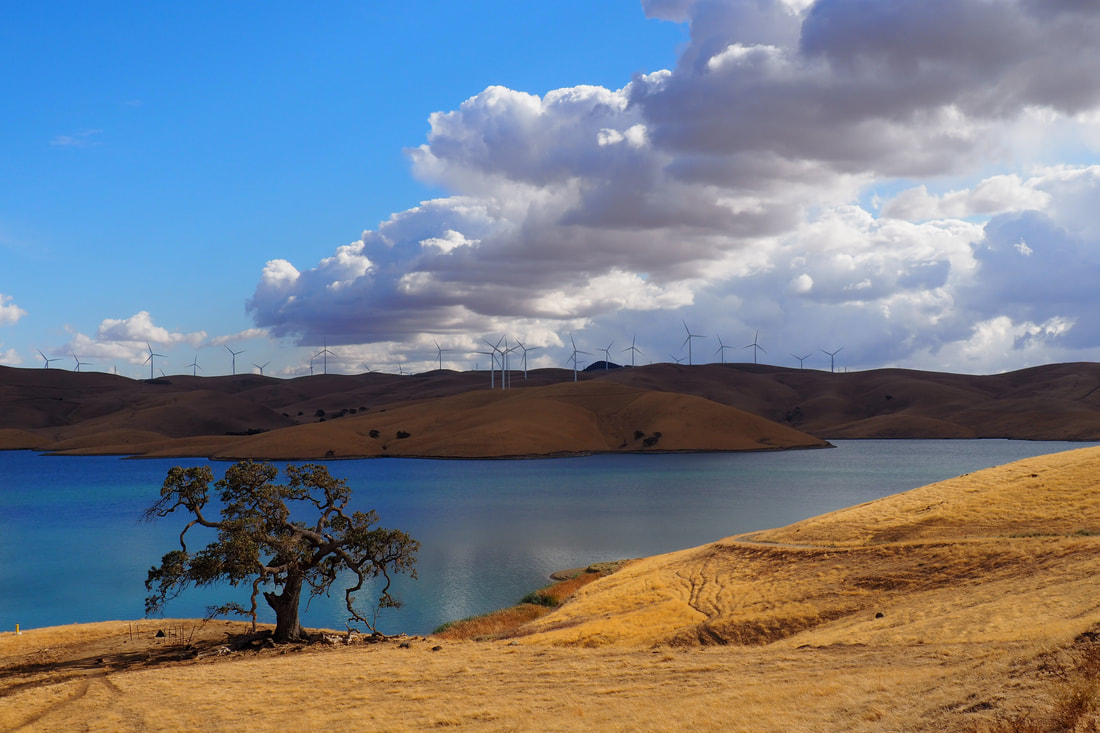
Los Vaqueros (Spanish for the cowboys) is a reservoir for the Contra Costa Water District. It is open for recreation, although during the time of COVID, the types of recreation are limited mostly to hiking and fishing. Los Vaqueros charges a $6 day use fee, and it is accessible on the north end from the Antioch Area and on south end from Livermore. Los Vaqueros has 60 miles of hiking, and it connects to both Round Valley (to the North) and Morgan Territory (to the South).
Picture
Picture
Picture
Picture
My hike followed the route in red, a 8.6-mile lollipop trail that started from the marina. I had not checked the trail guide for this hike before leaving, but (rather) had estimated the mileage from the main map. The mileage posted there on that map was incomplete, and before leaving I estimated that my hike would be between 5-6 miles. I suggest that you research the trail guide site thoroughly before leaving so that you plan adequately for water and time. 

Despite the unexpected mileage, this ended up being a very pleasant hike. From the Marina, take the Los Vaqueros Trail all the way along the curve of Cowboy Cove.
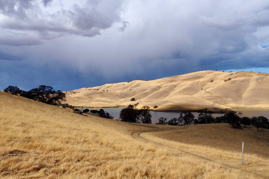
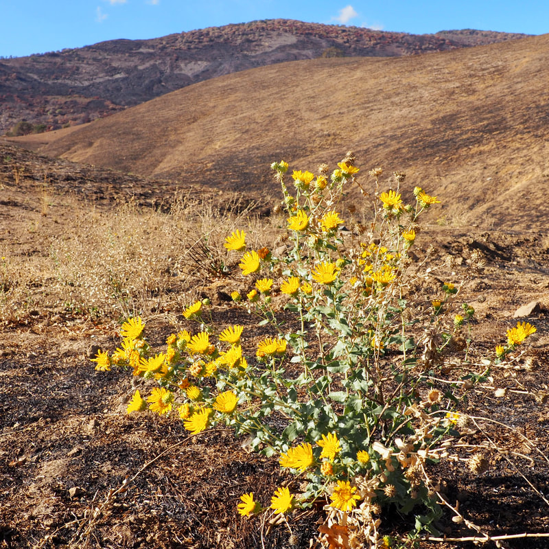
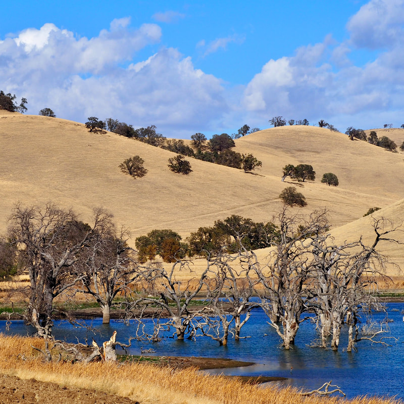
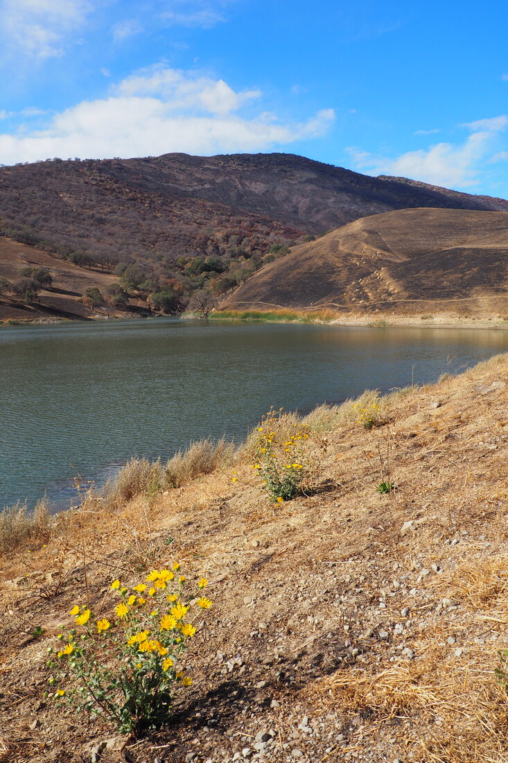
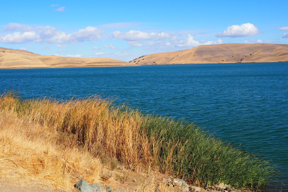
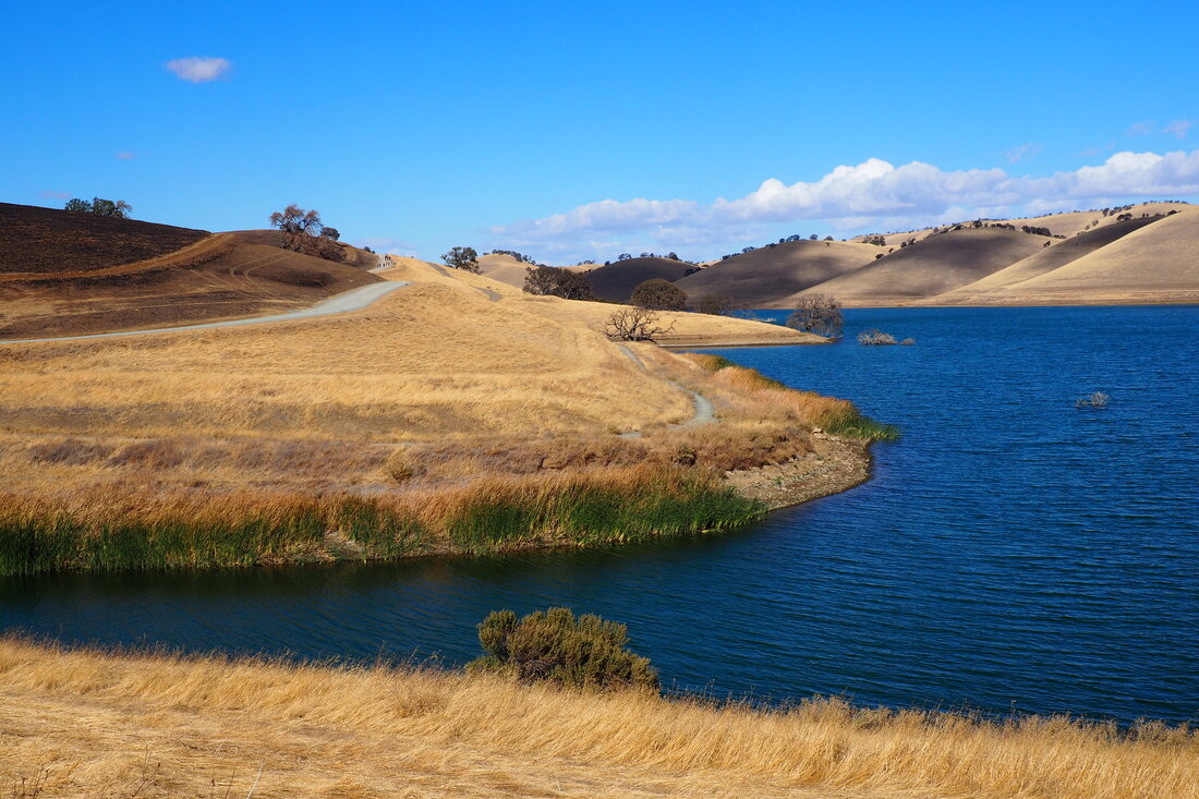
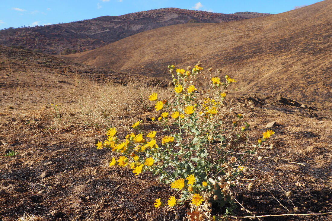
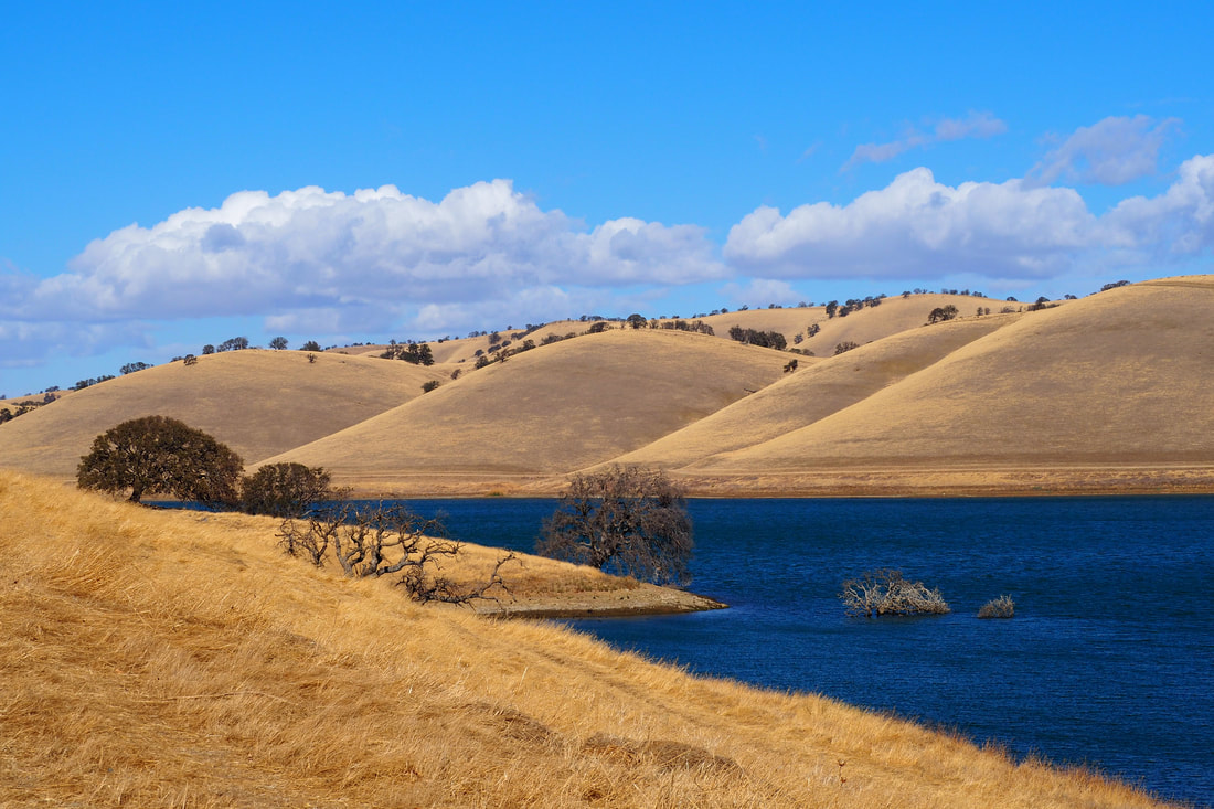
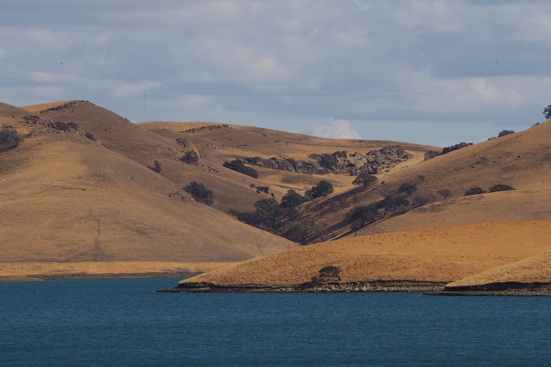
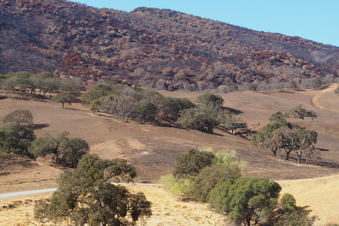
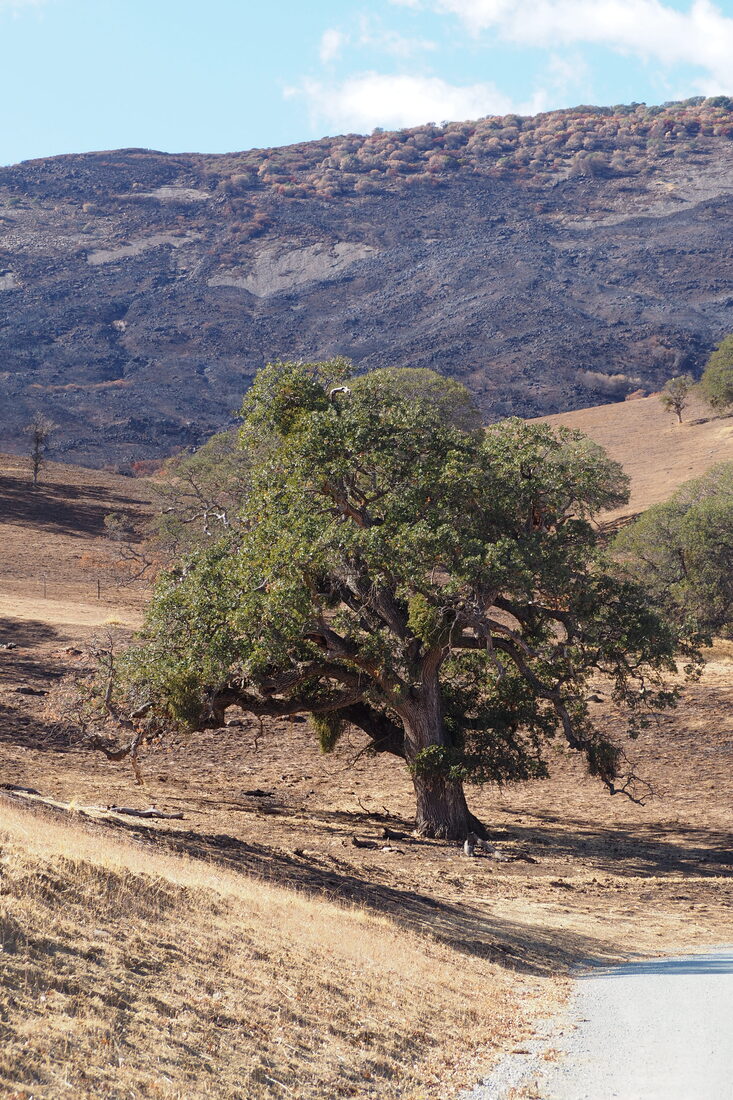
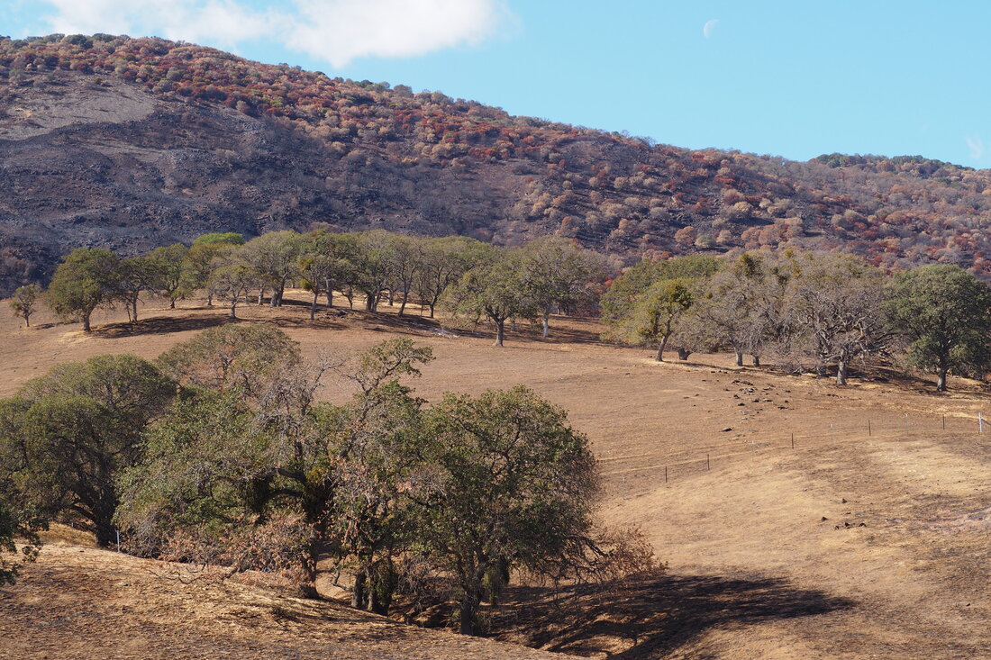
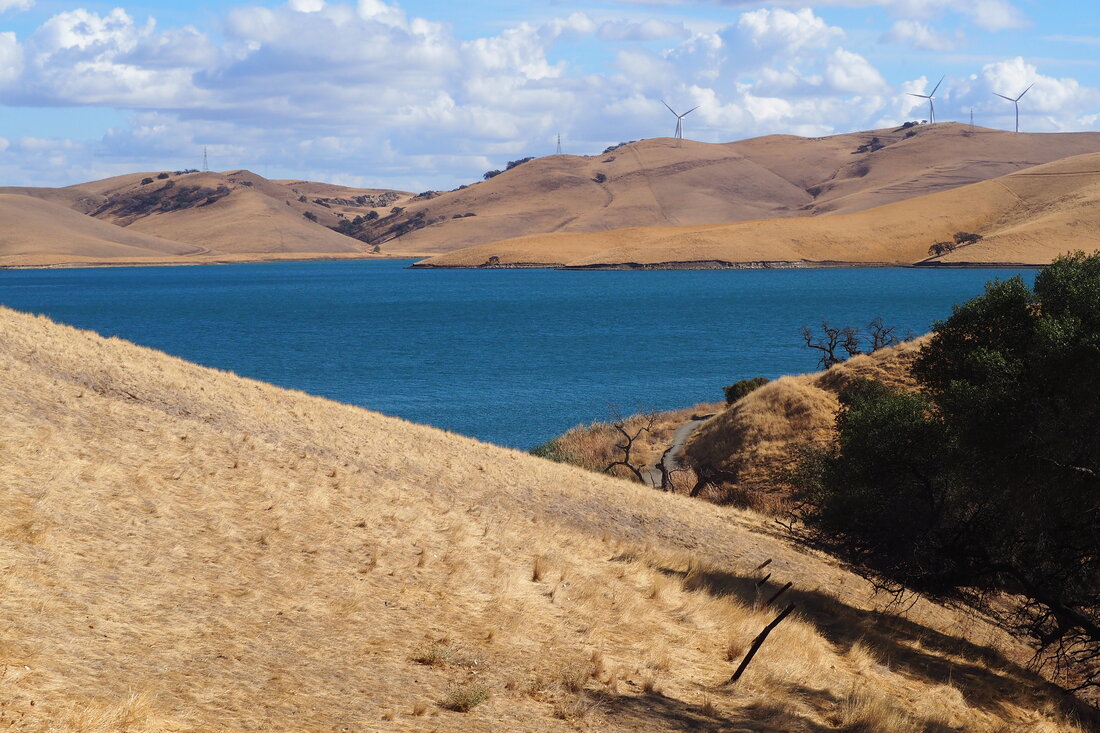
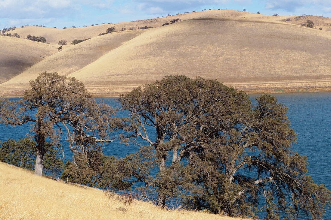
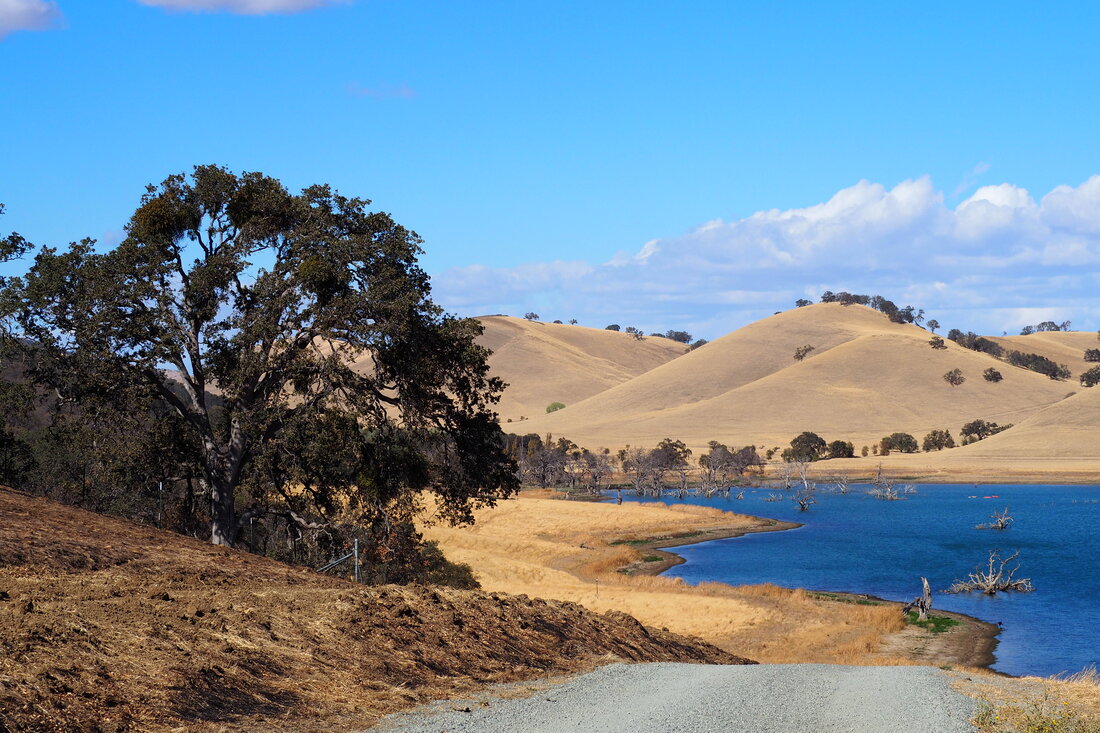
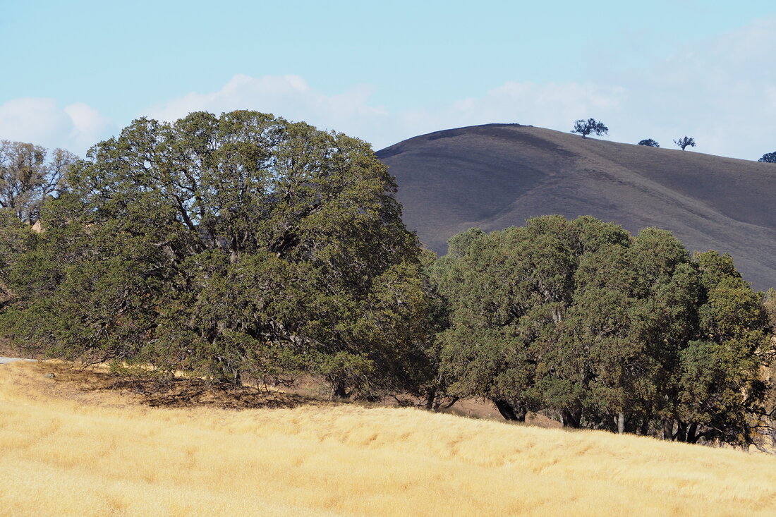
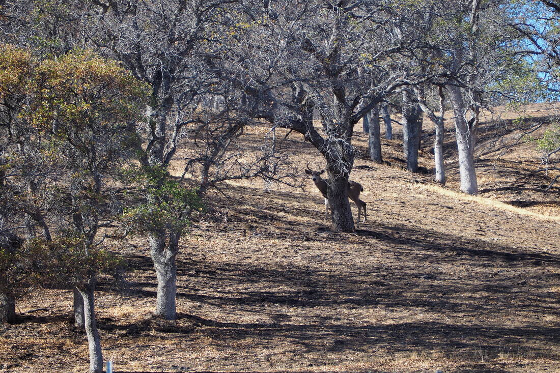
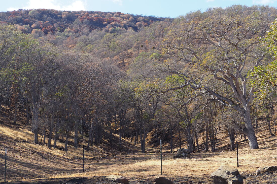
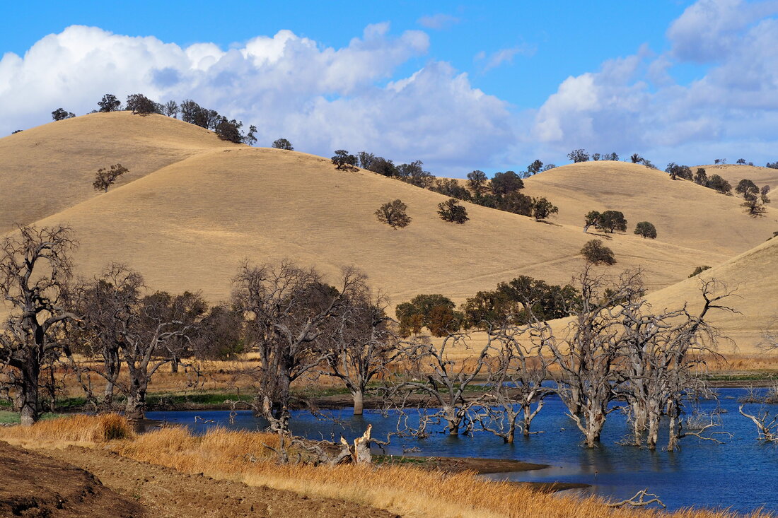
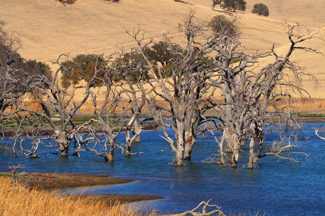
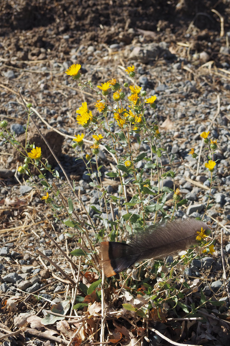
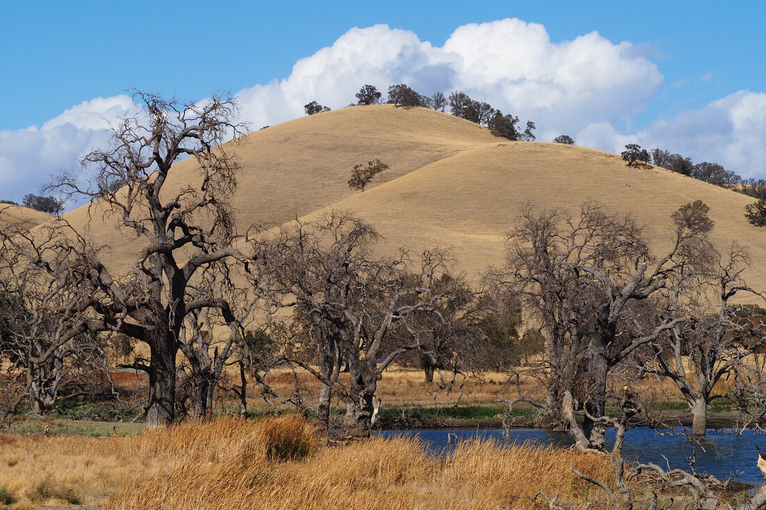
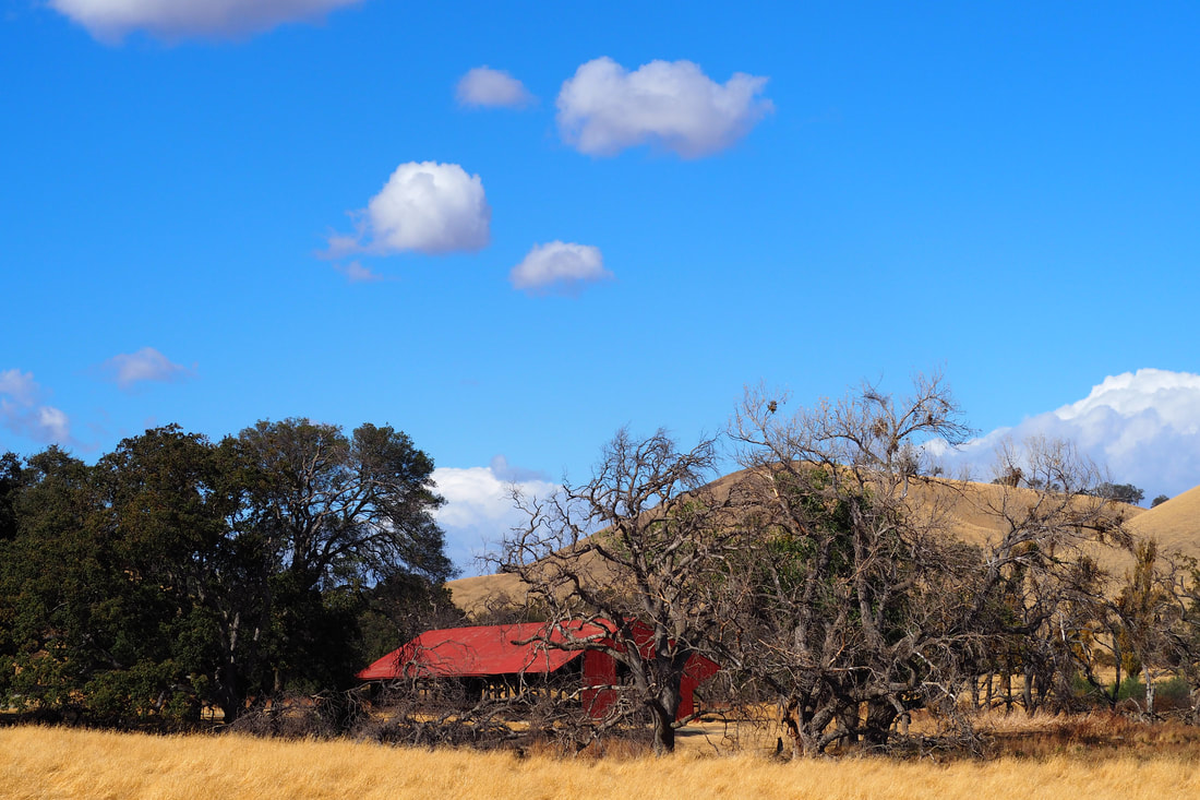
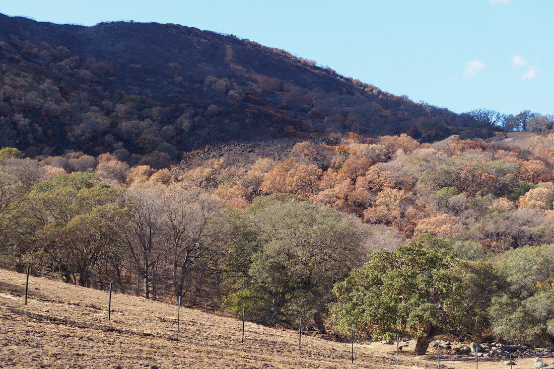
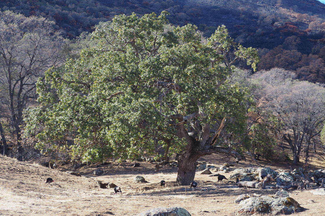
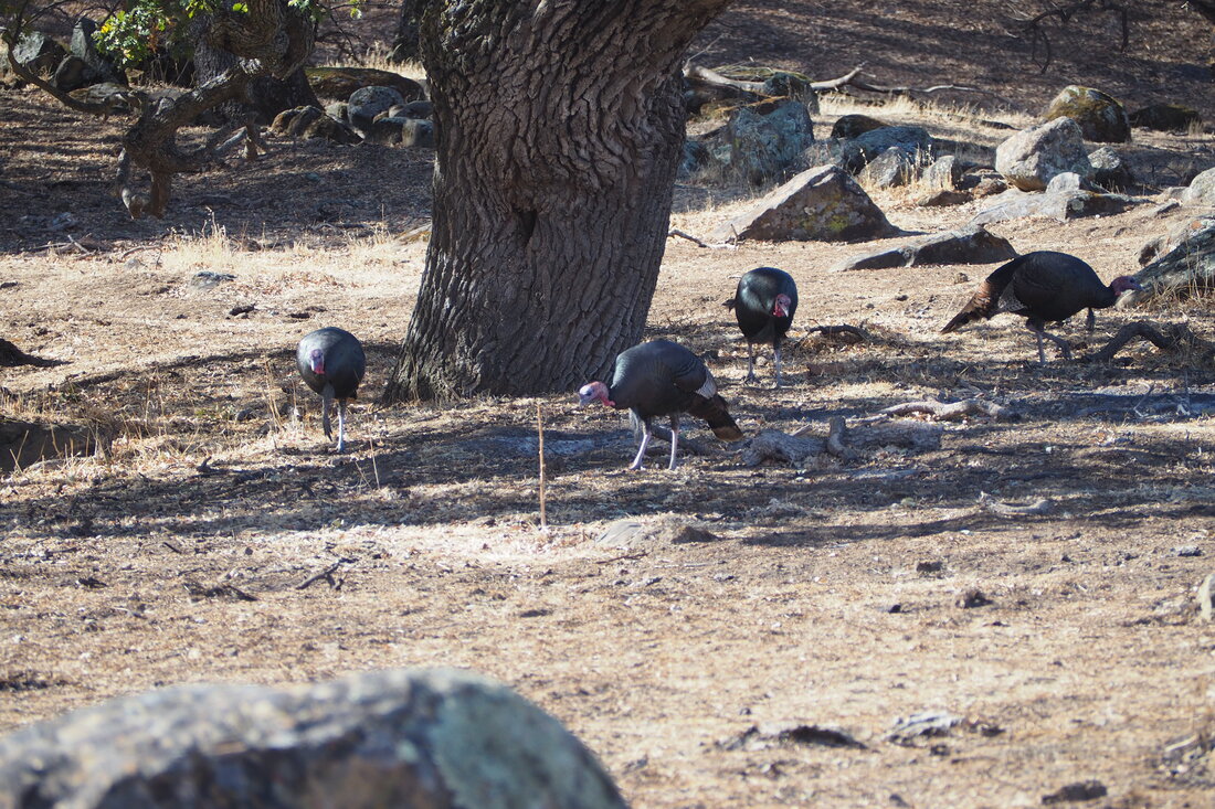
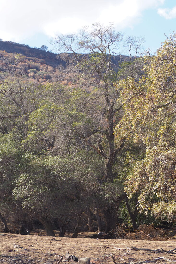
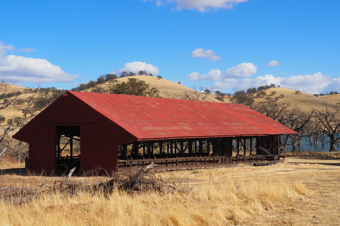
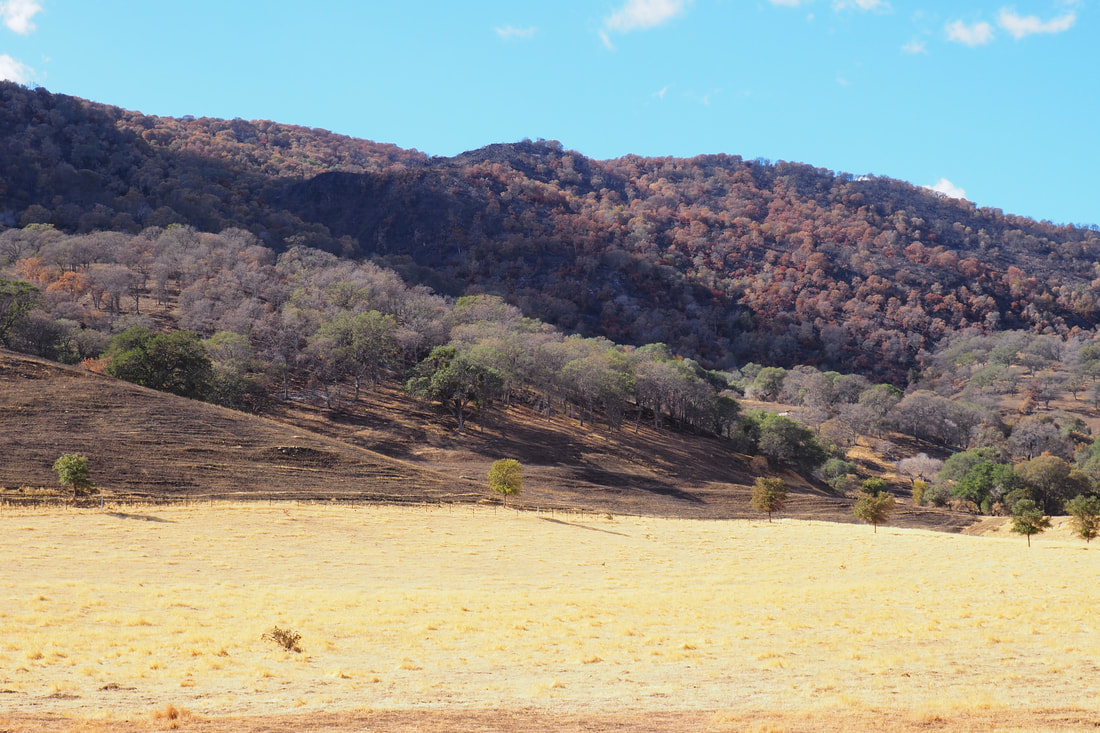
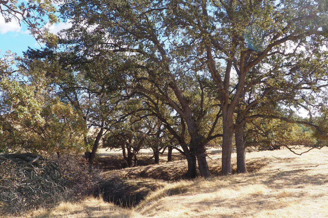
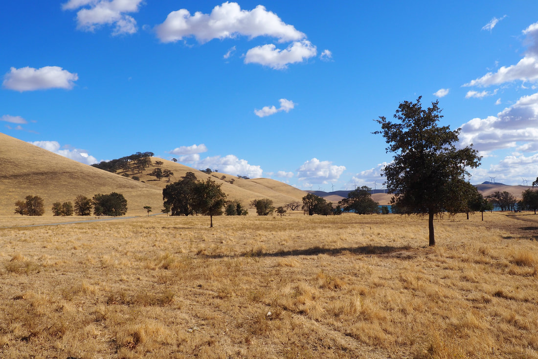
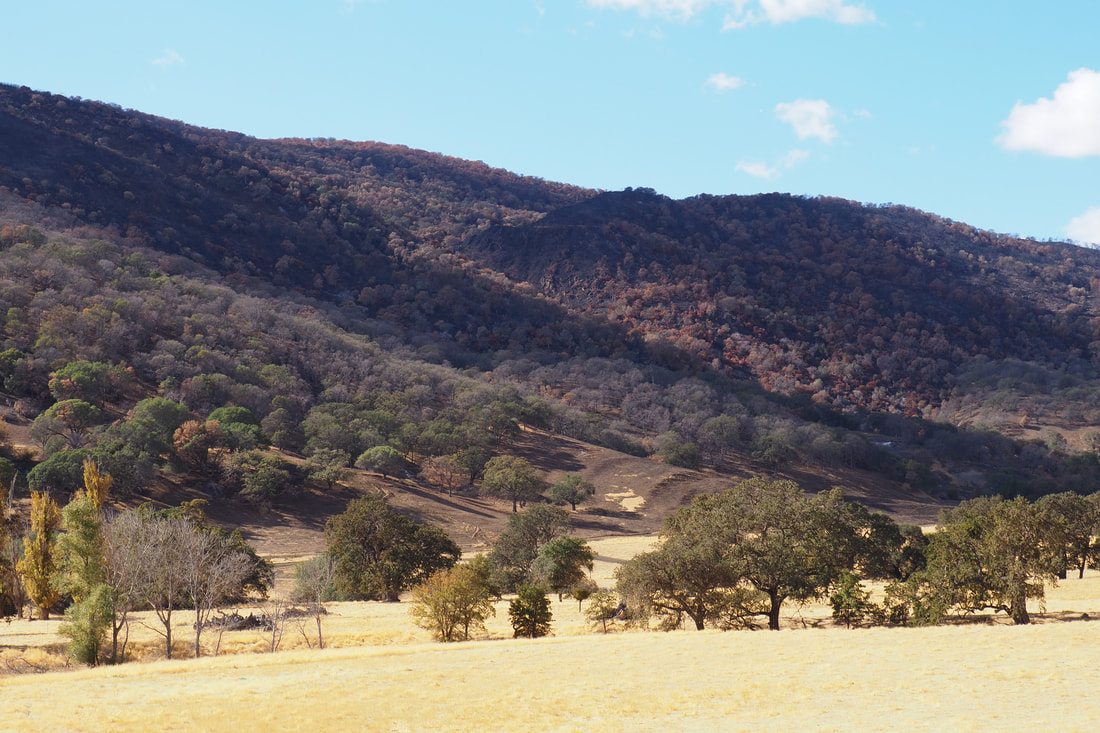
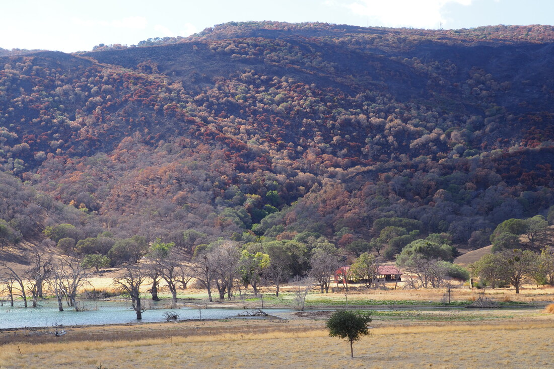
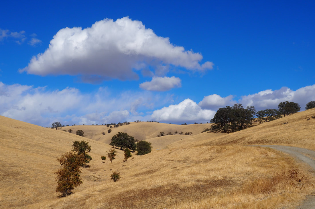
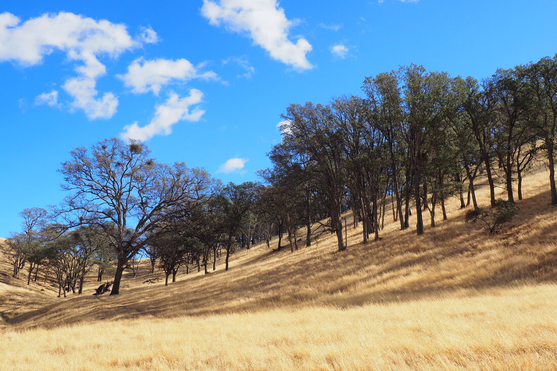
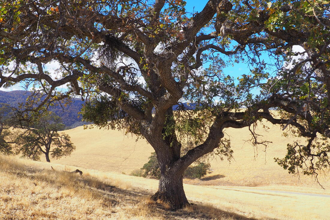
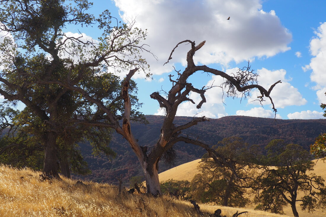
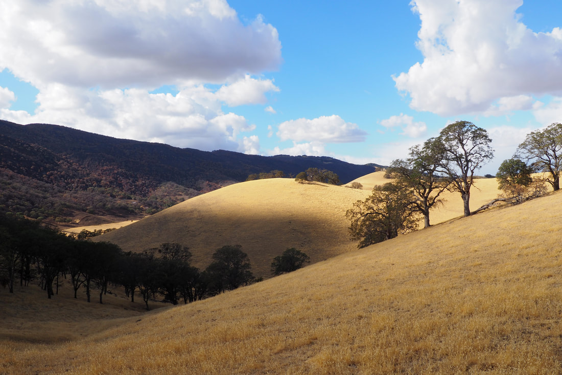
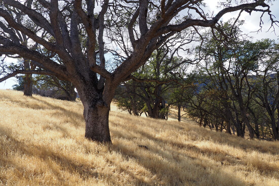
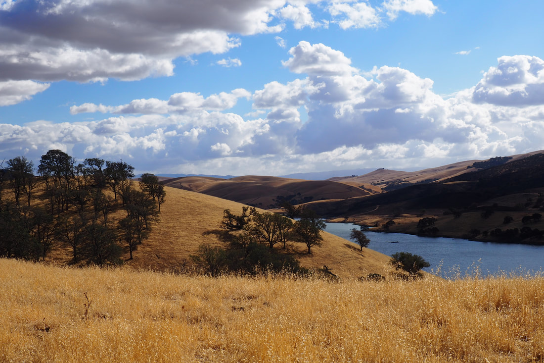
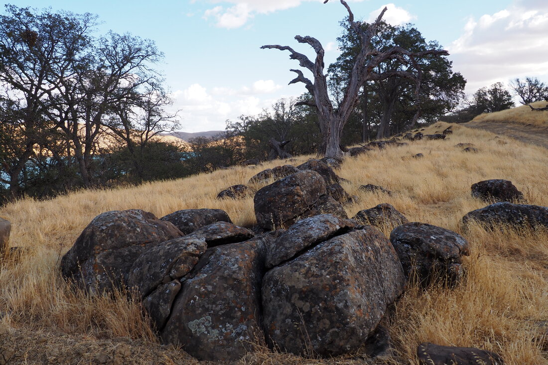
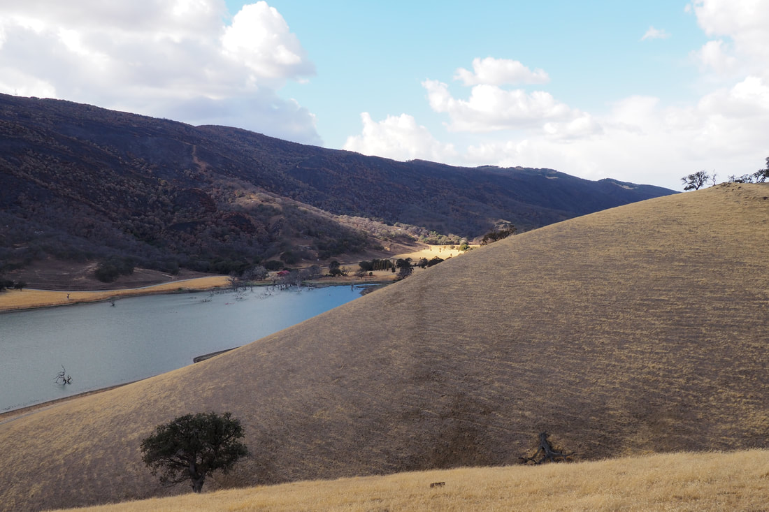
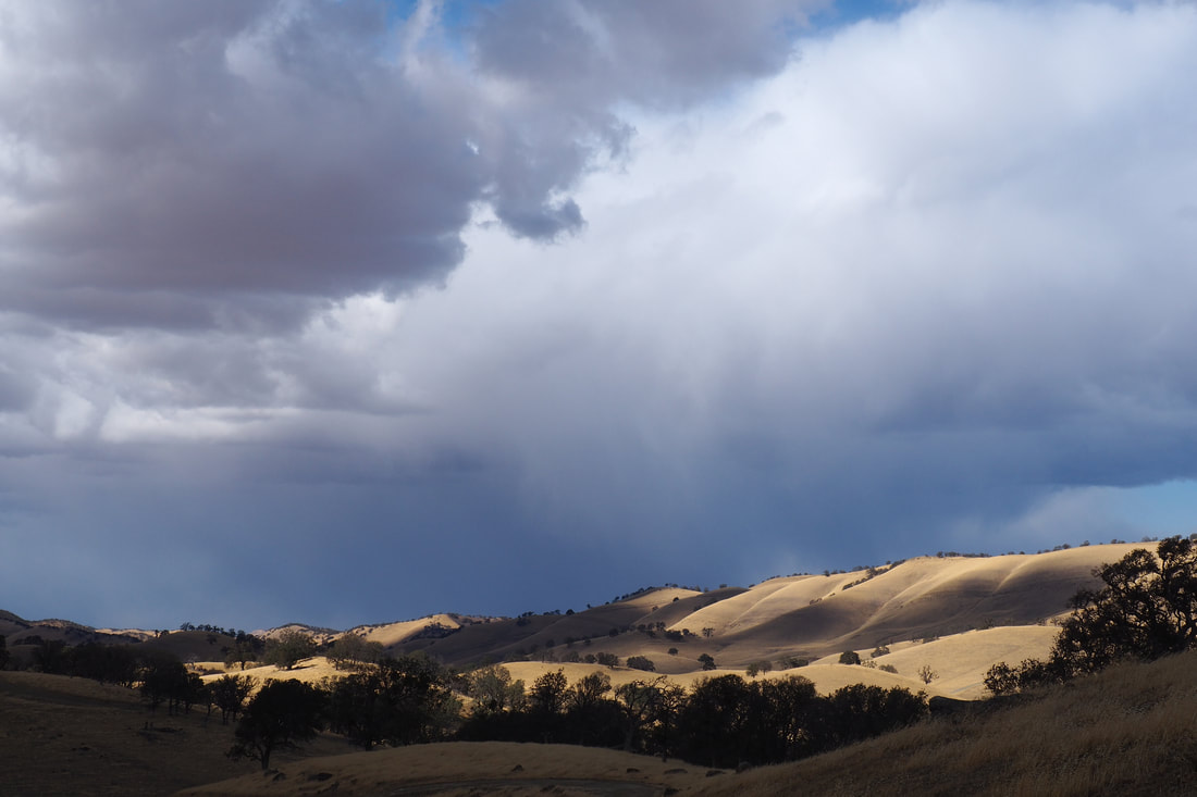
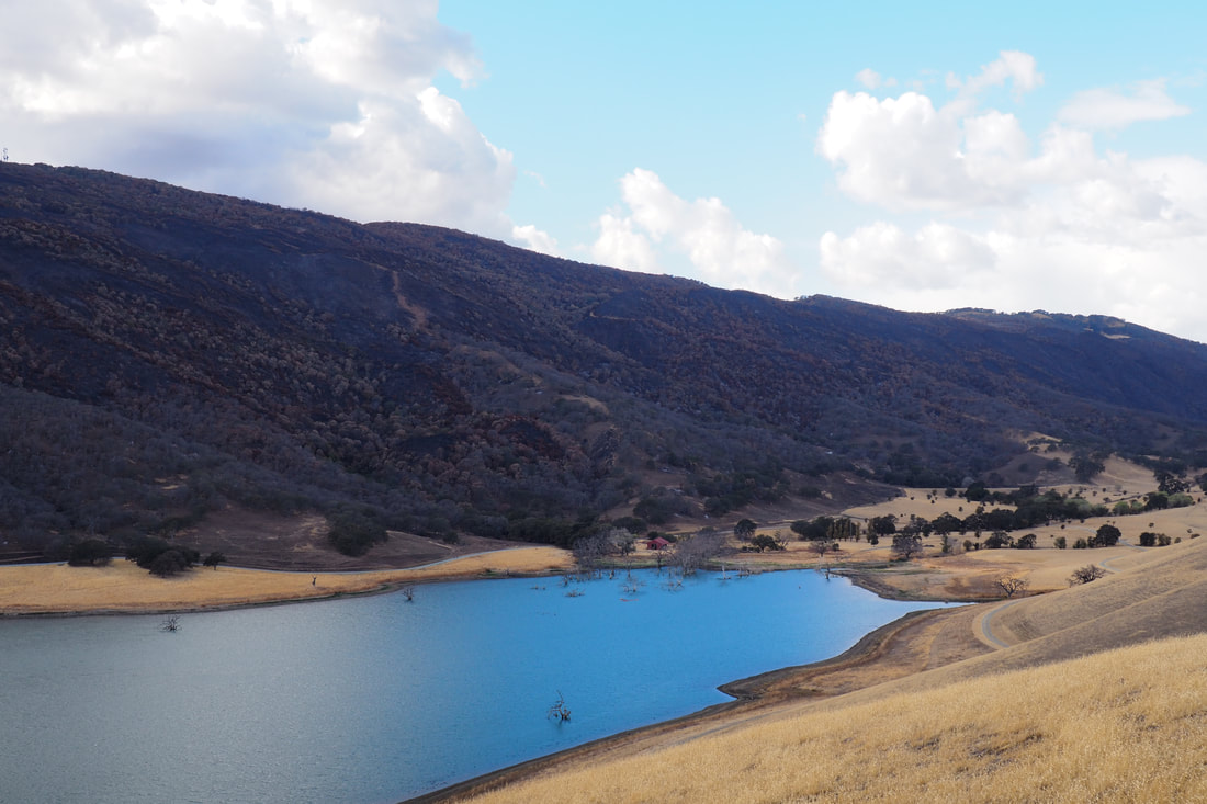
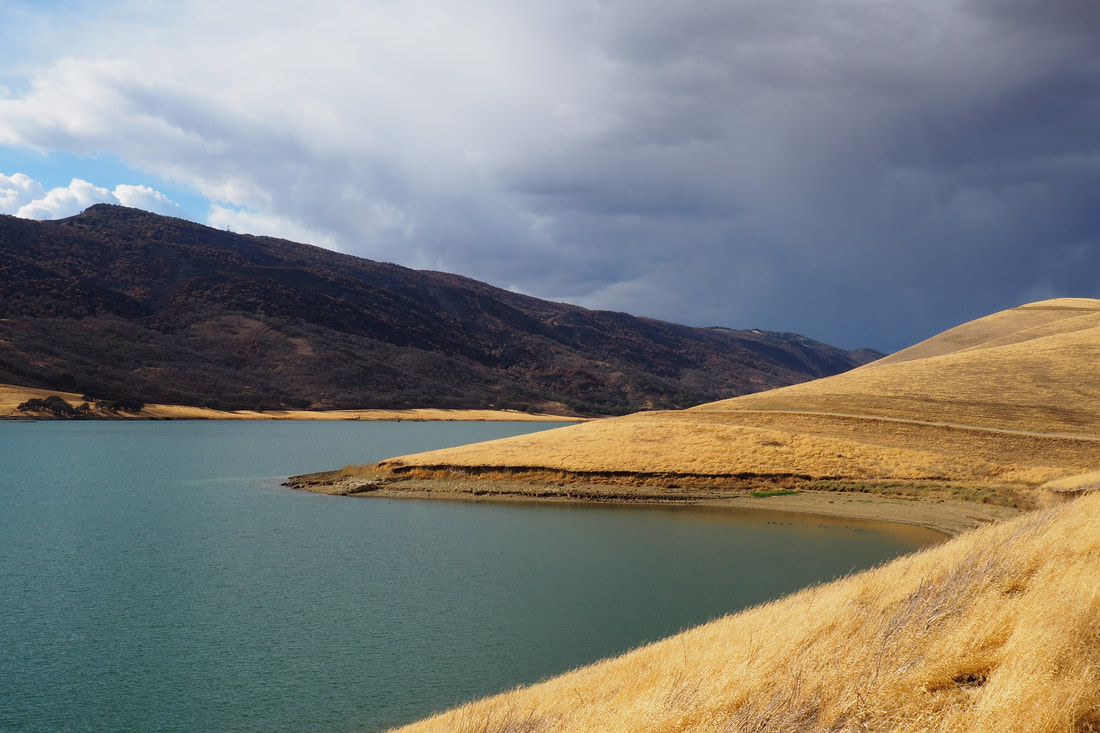
I really liked the area right around the curve of the cove--there were a bunch of beautiful oak trees that had been drowned in the damning of the reservoir. There was something eerily beautiful and ghostly about these trees in the water, especially near the pop of red of an old barn. Here, I saw deer and a flock of about two dozen wild turkeys, along with the foundation and chimney ruins of an old farmhouse. The hillsides were still scarred by the SCU Lightening Complex fires in August, but the old oak trees seemed to have survived, and some wildflowers were still blooming. This would have been a great turn-around point for a very satisfying in-and-out hike.

The Los Vaqueros Trail eventually veers to the left and climbs uphill. At the first intersection on the hill, turn to right to take the Peninsula Crest Trail as it climbs somewhat steeply up to the crest. The views here are gorgeous. Along the Peninsula Crest Trail there are a couple of picnic benches at lookout points. You can see Antioch and the Sacramento-San Joaquin River Delta to the northeast. I saw storm clouds gathering to the northwest, over the area where Round Valley must have been. I started walking faster when I saw those gathering clouds!

Eventually the Peninsula Crest Trail winds its way down back to the water, where it becomes the Peninsula Trail. It parallels the coastline and retakes the Los Vaqueros Trail.

Note: this trail was very pleasant in the fall, and I imagine it would be stunning during the wildflower season in the spring; however, it would not be fun to do this hike in the middle of the summer heat because it is quite exposed.
0 Comments


Leave a Reply.

    Archives

    December 2020
    November 2020
    October 2020
    September 2020
    August 2020
    July 2020
    June 2020
    May 2020
    April 2020
    March 2020
    February 2020
    January 2020
    December 2019
    November 2019
    October 2019
    September 2019
    August 2019
    July 2019
    June 2019
    May 2019
    April 2019
    March 2019
    February 2019
    January 2019
    December 2018
    November 2018
    October 2018
    September 2018
    August 2018
    July 2018
    June 2018
    May 2018
    April 2018
    March 2018
    February 2018
    January 2018
    November 2017
    October 2017
    September 2017
    August 2017
    April 2017
    March 2017
    February 2017
    January 2017
    November 2016
    October 2016
    September 2016
    August 2016
    July 2016
    June 2016
    May 2016
    April 2016
    March 2016
    February 2016
    January 2016
    December 2015
    November 2015
    October 2015
    September 2015

    Categories

    All
    Art Expedition
    Bay Laurel Trees
    Bayside
    Beaches
    Berkeley City Parks
    Bureau Of Reclamation
    Camping
    Cliffs
    Coastside
    Contra Costa Water District
    Creeks
    Deserts
    East Bay Municipal Utility District
    East Bay Regional Park District
    EBRPD Trails Challenge
    Eucalyptus
    Flat Hikes
    Gulf Coast Family Vacation
    Historical Sites
    Kid Friendly
    Lakes
    LARPD
    Length: 10 To 15 Miles
    Length: 15+ Miles
    Length: 1 To 5 Miles
    Length: 5 To 10 Miles
    Madrones
    Manzanita
    Maples
    Marin County Parks
    Midpeninsula Regional Open Space Preserves
    Mountains
    Museums
    National Forest Service
    National Parks
    National Wildlife Refuge
    Oakland City Parks
    Oaks
    Palo Alto & Atherton Parks
    Peninsula Open Space Trust
    Pleasanton City Parks
    Portola Valley Town Trails
    Redwoods
    Rocks
    San Francisco City Parks
    San Mateo County Parks
    Santa Clara County Parks
    Santa Cruz City Parks
    Sierras
    Stanford
    State Parks
    Swimming Holes
    Sycamores
    Trains
    Tri-Valley
    UC Berkeley
    UC Davis
    Walnut Creek Parks
    Wetlands
    Wildflowers
    Wildlife
    Zoos Farms & Wildlife Preserves

    RSS Feed

Powered by Create your own unique website with customizable templates.
  • Home
  • About
  • Regions
  • Parks
  • Trails
  • Photography