Lonely Hiker
  • Home
  • About
  • Regions
  • Parks
  • Trails
  • Photography

Trails

Maguire Peaks Loop at Sunol

5/1/2019

2 Comments

 
Picture
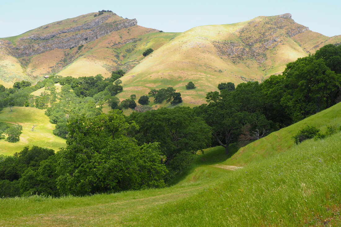
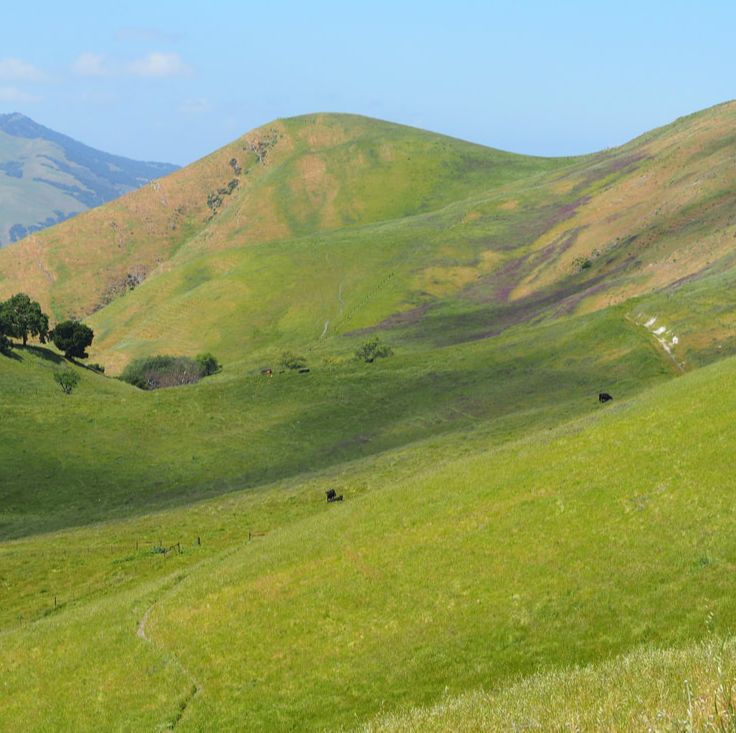
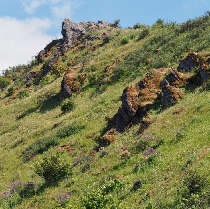
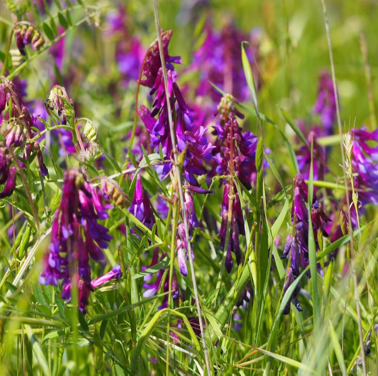
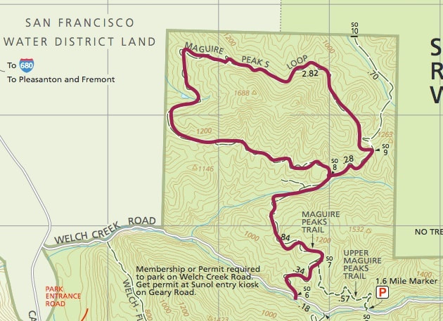
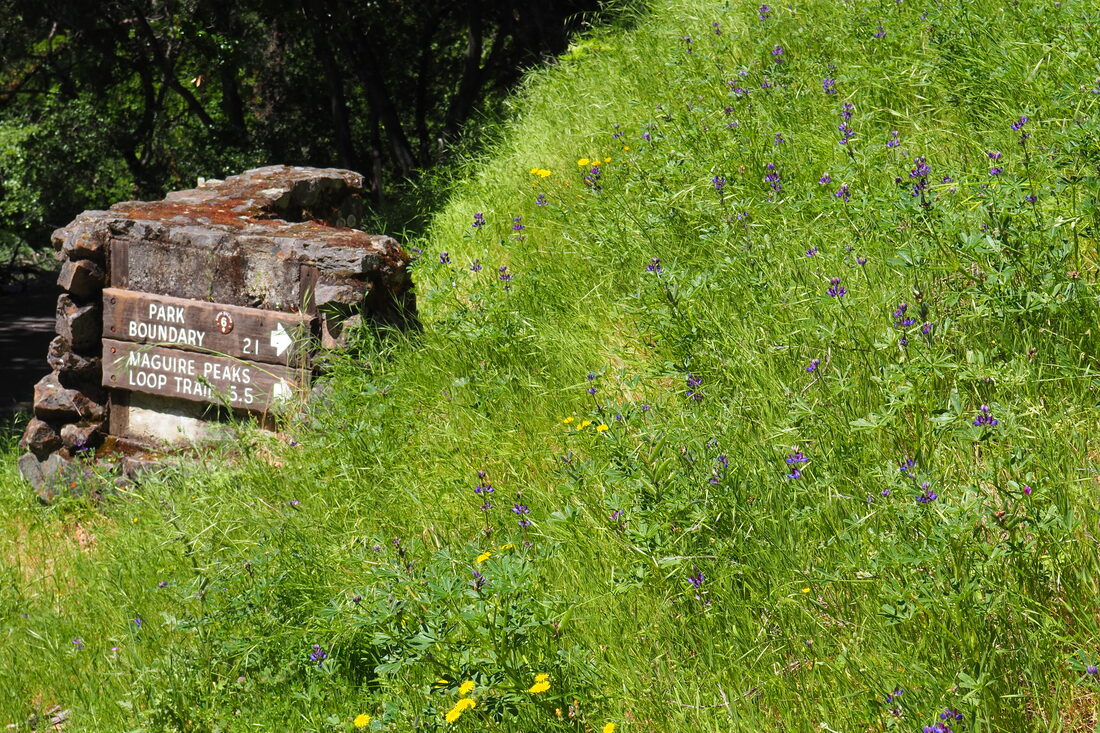
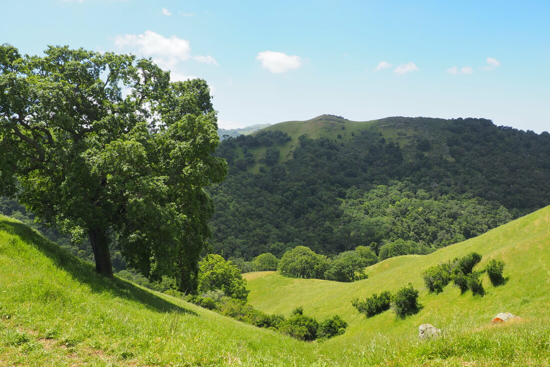
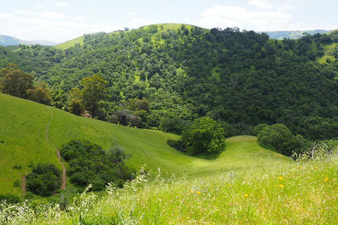
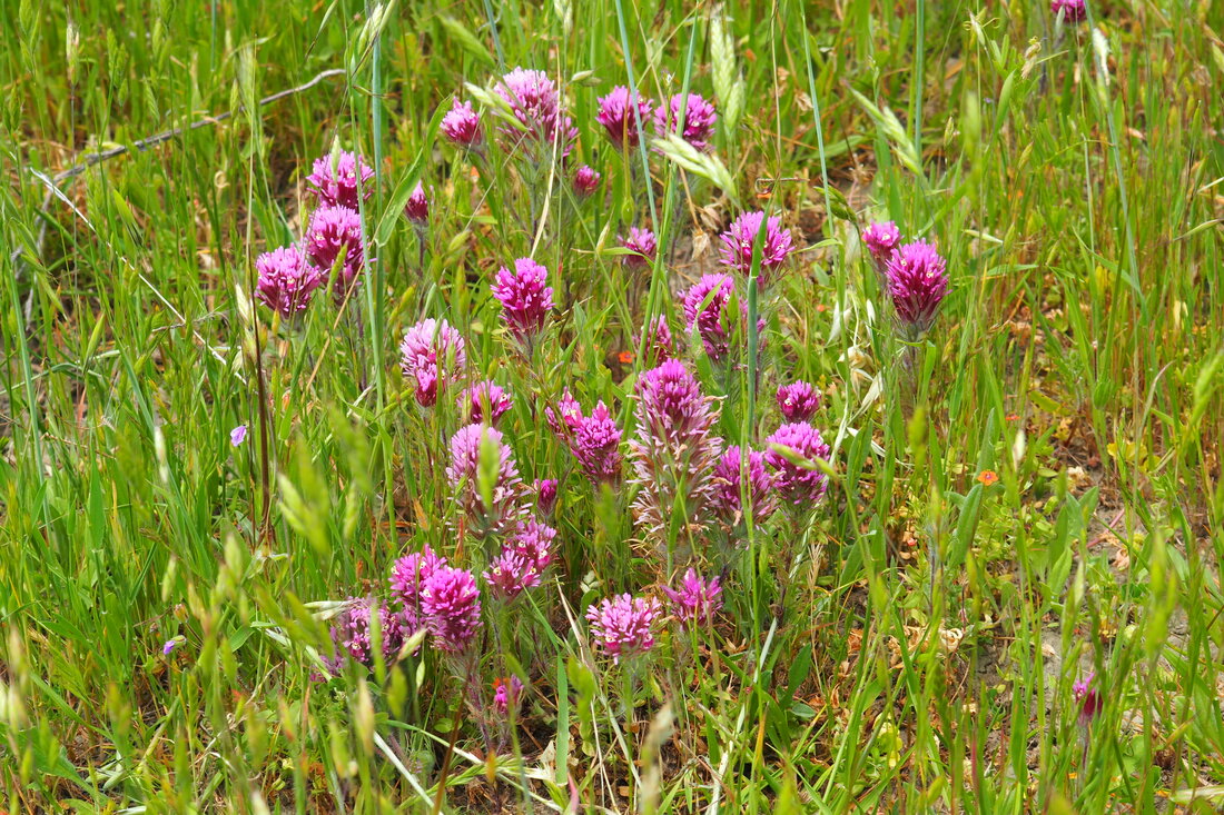
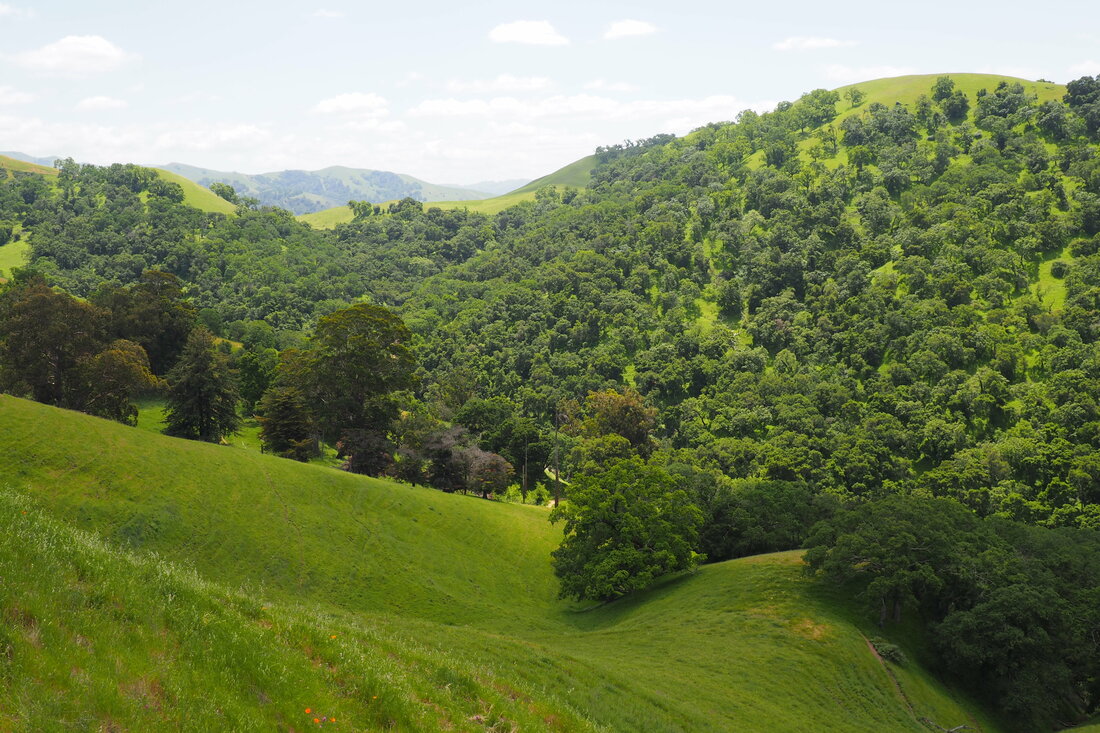
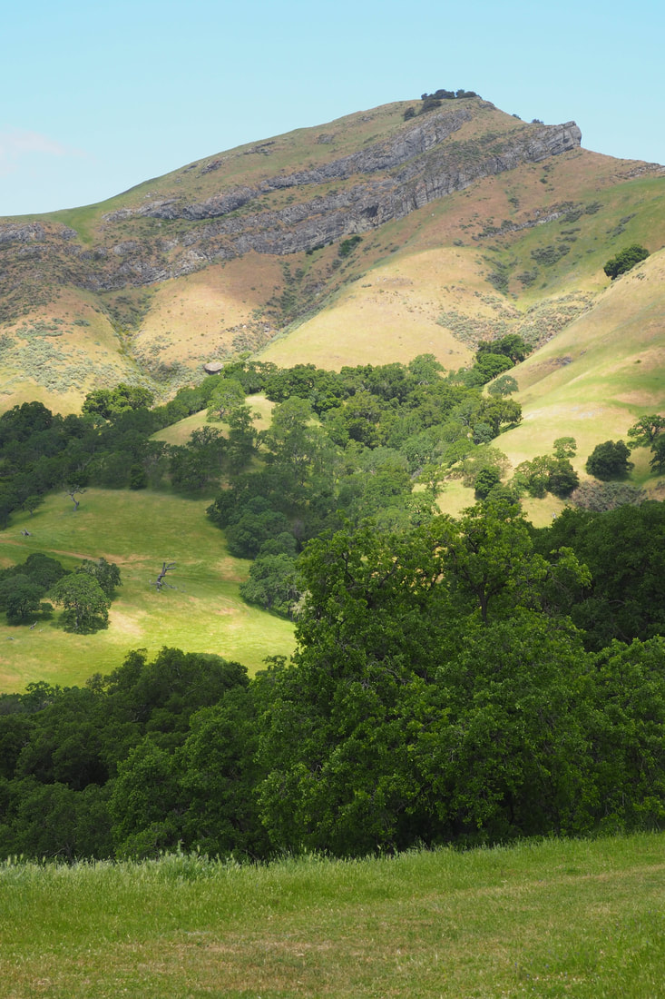
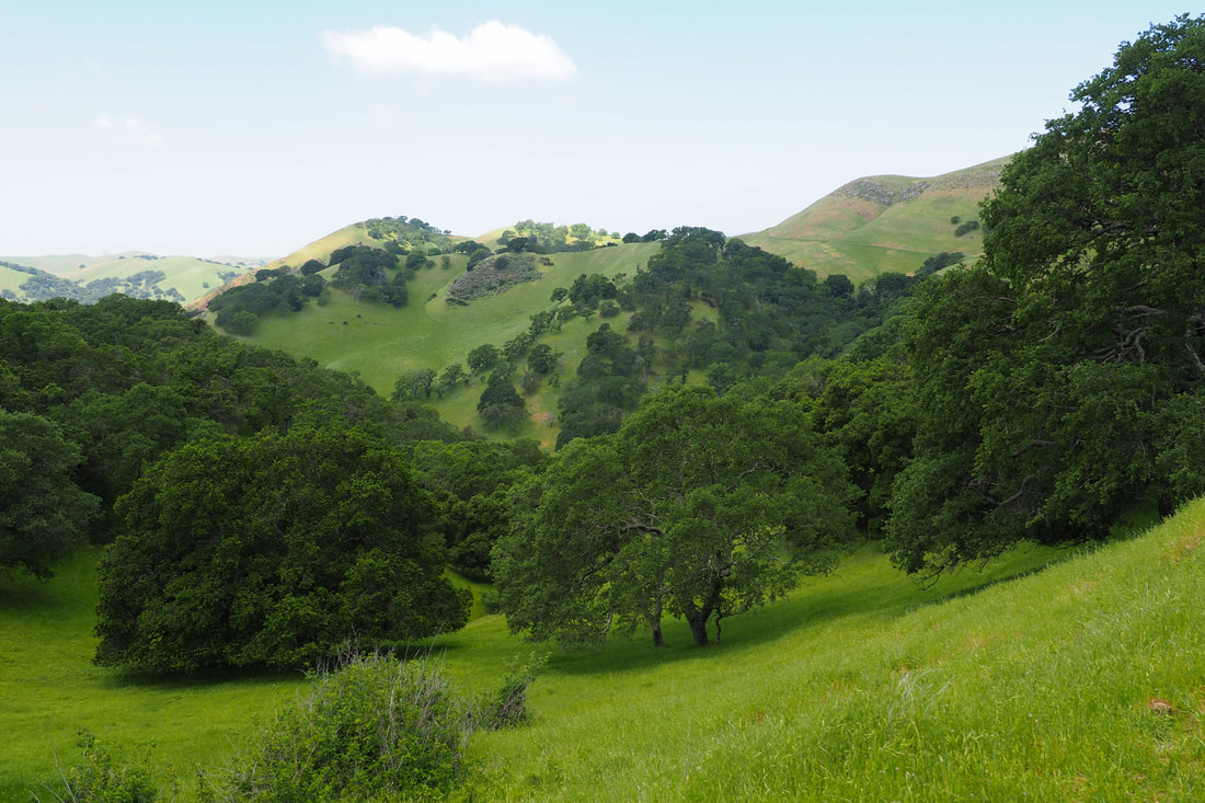
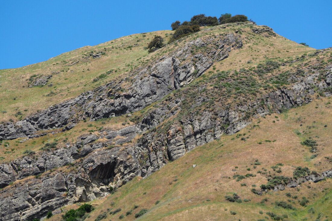
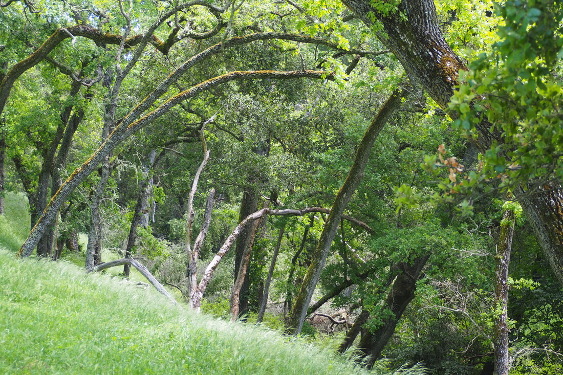
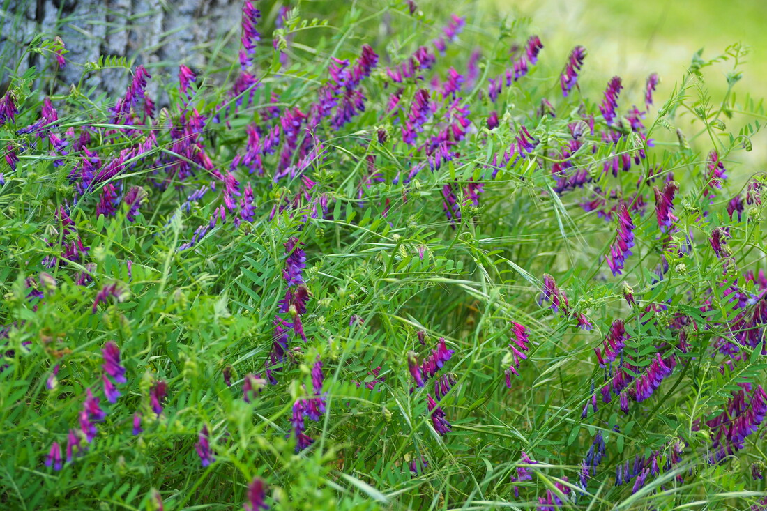
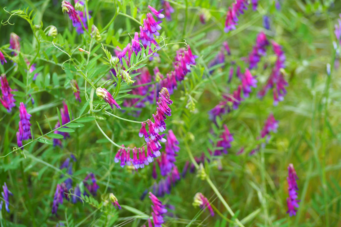
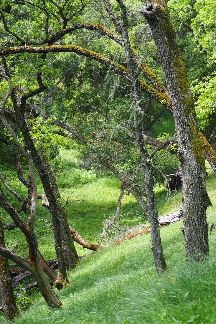
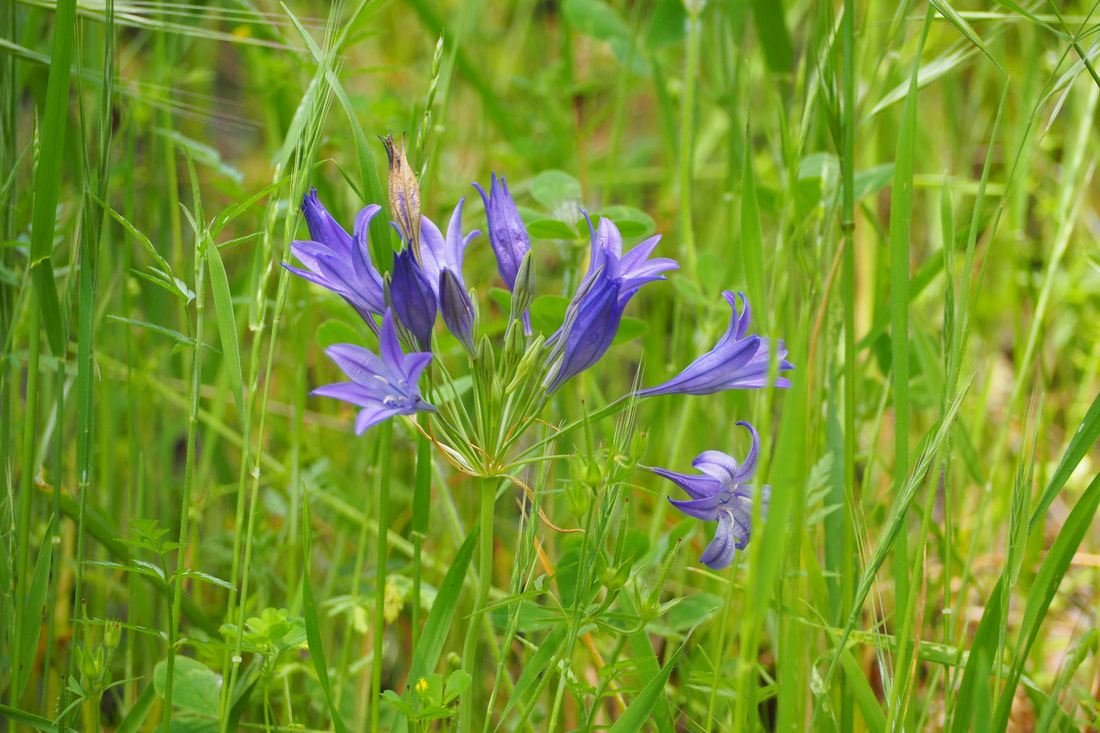
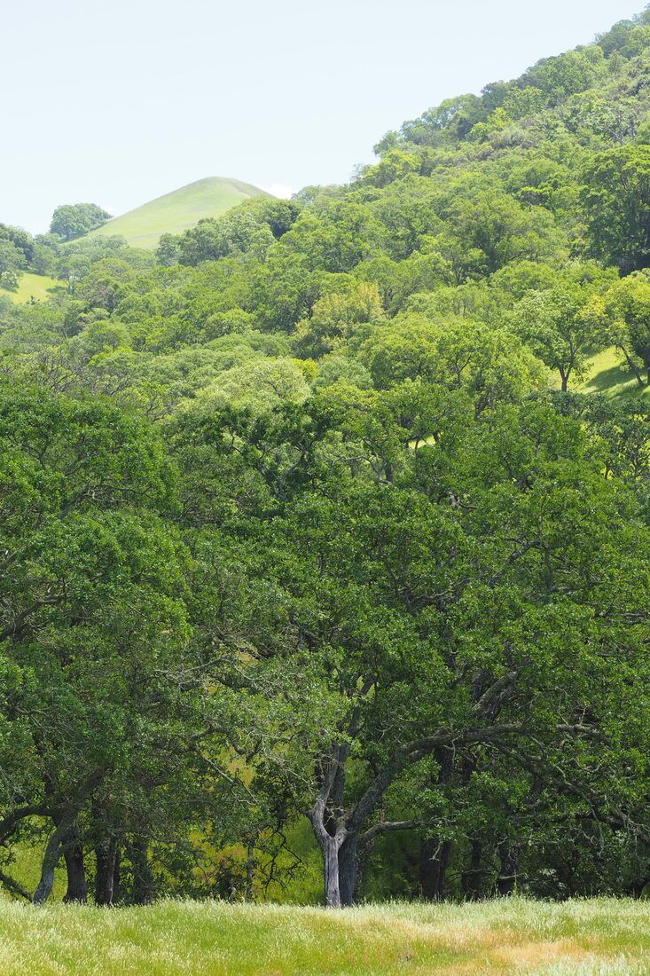
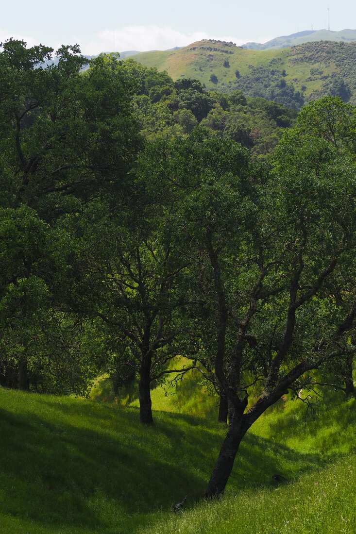
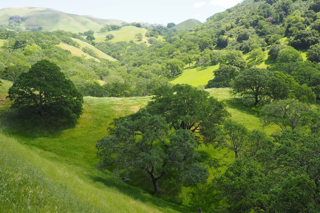
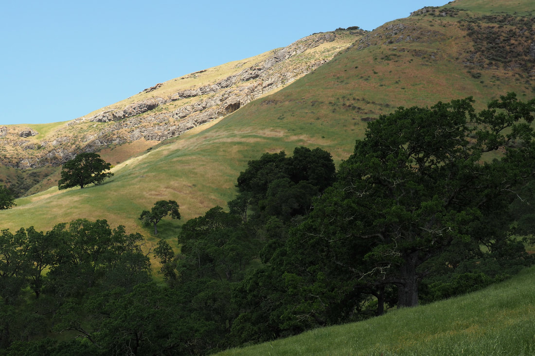
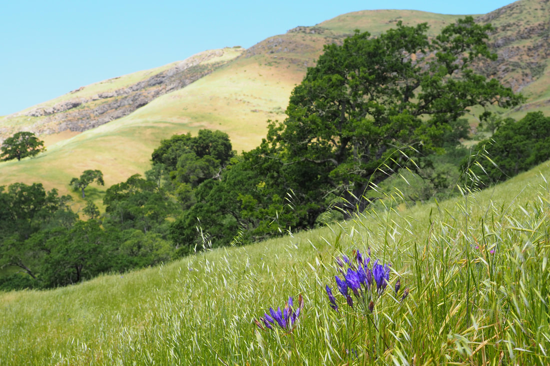
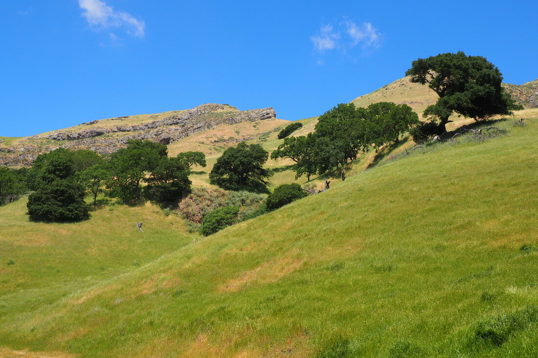
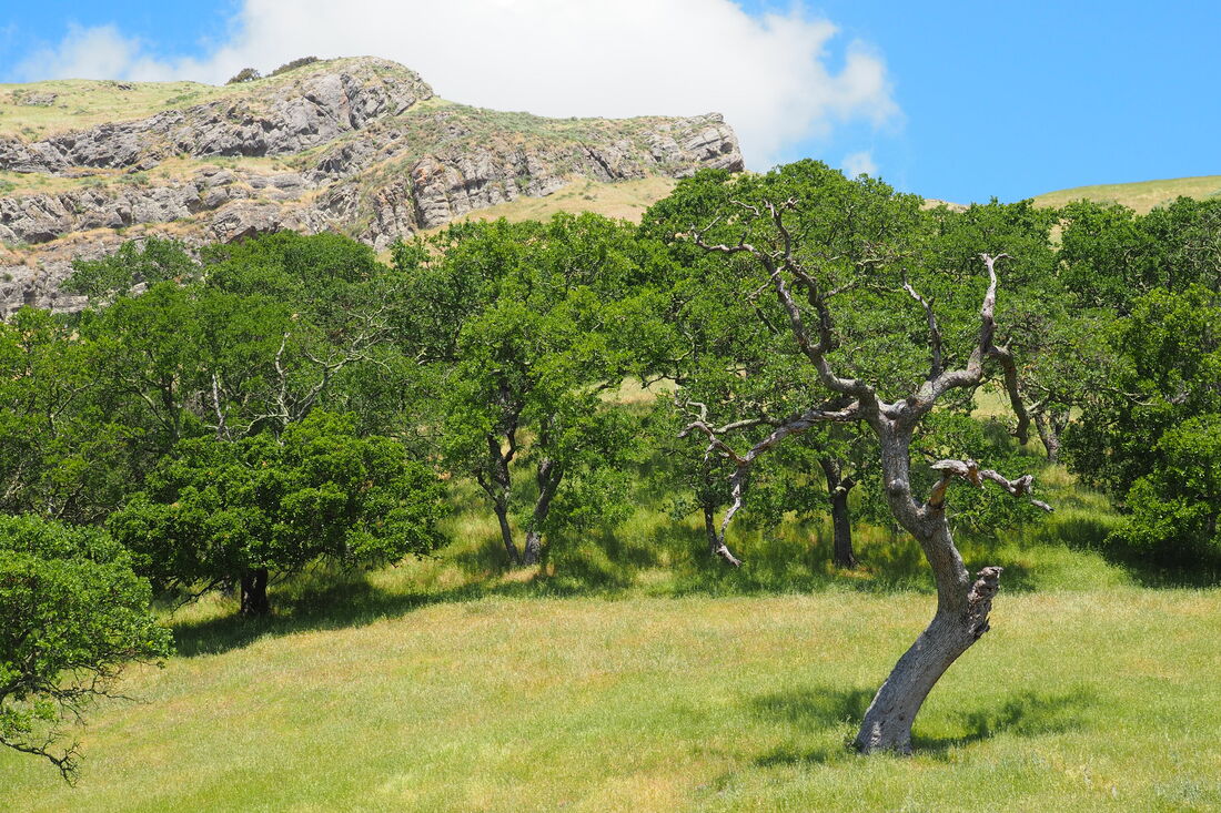
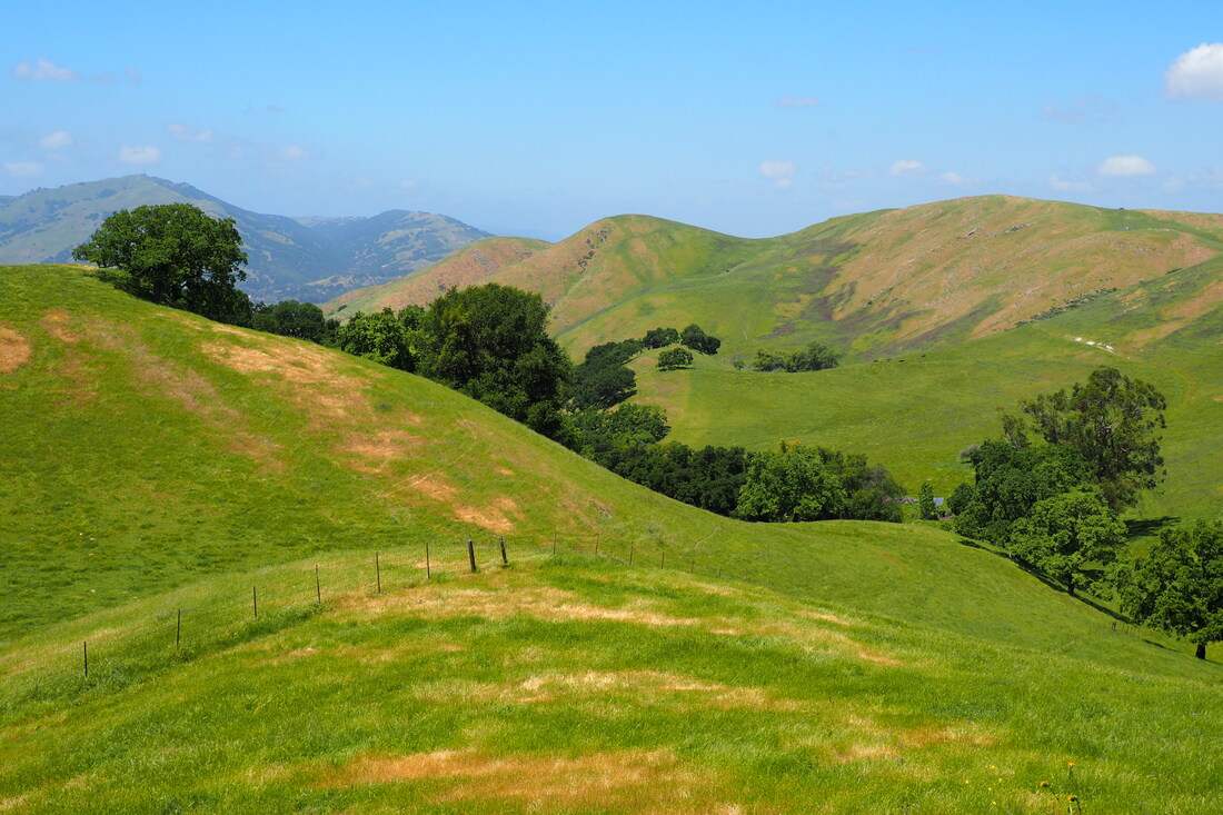
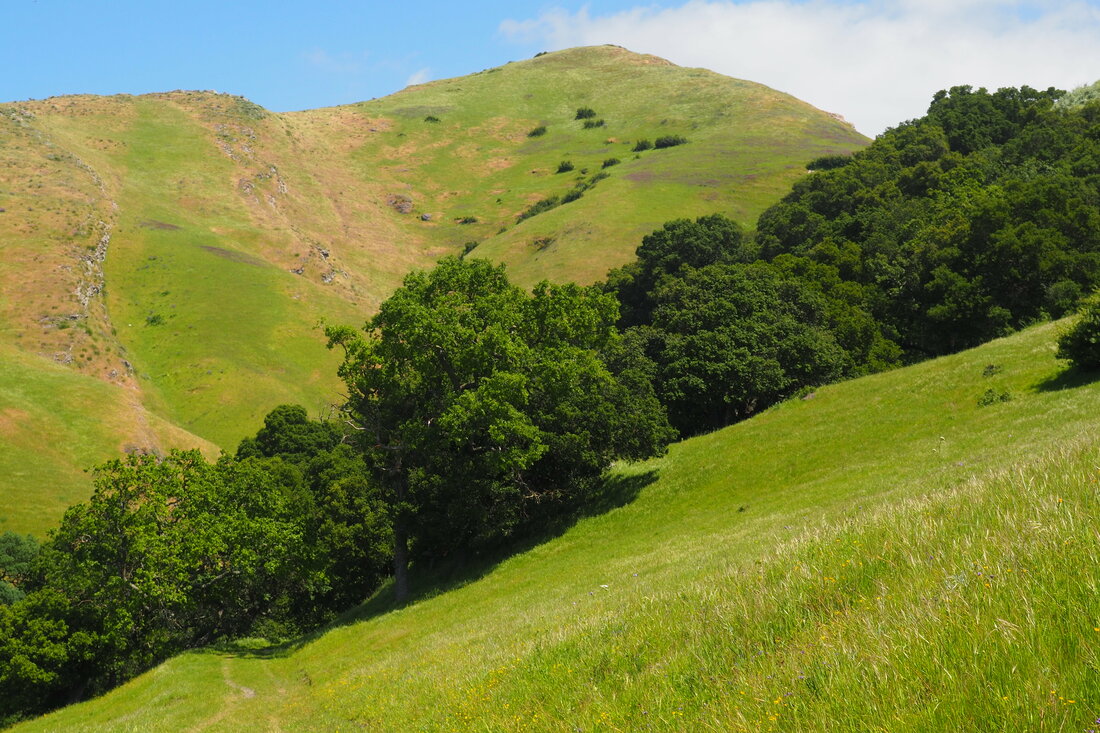
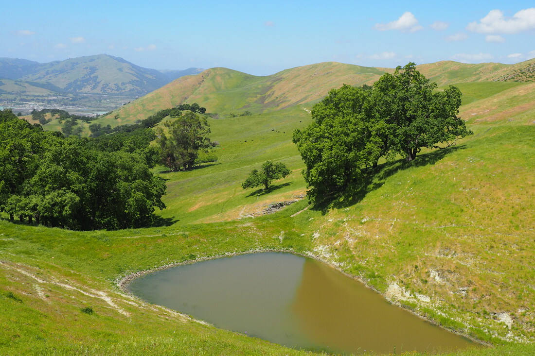
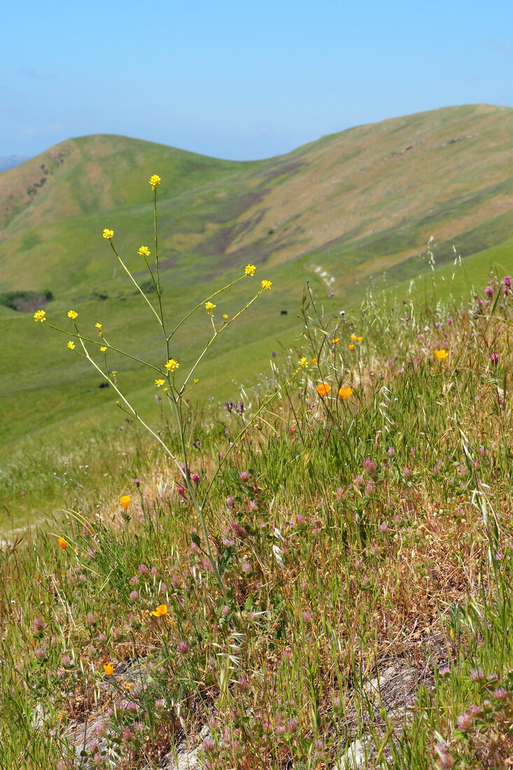
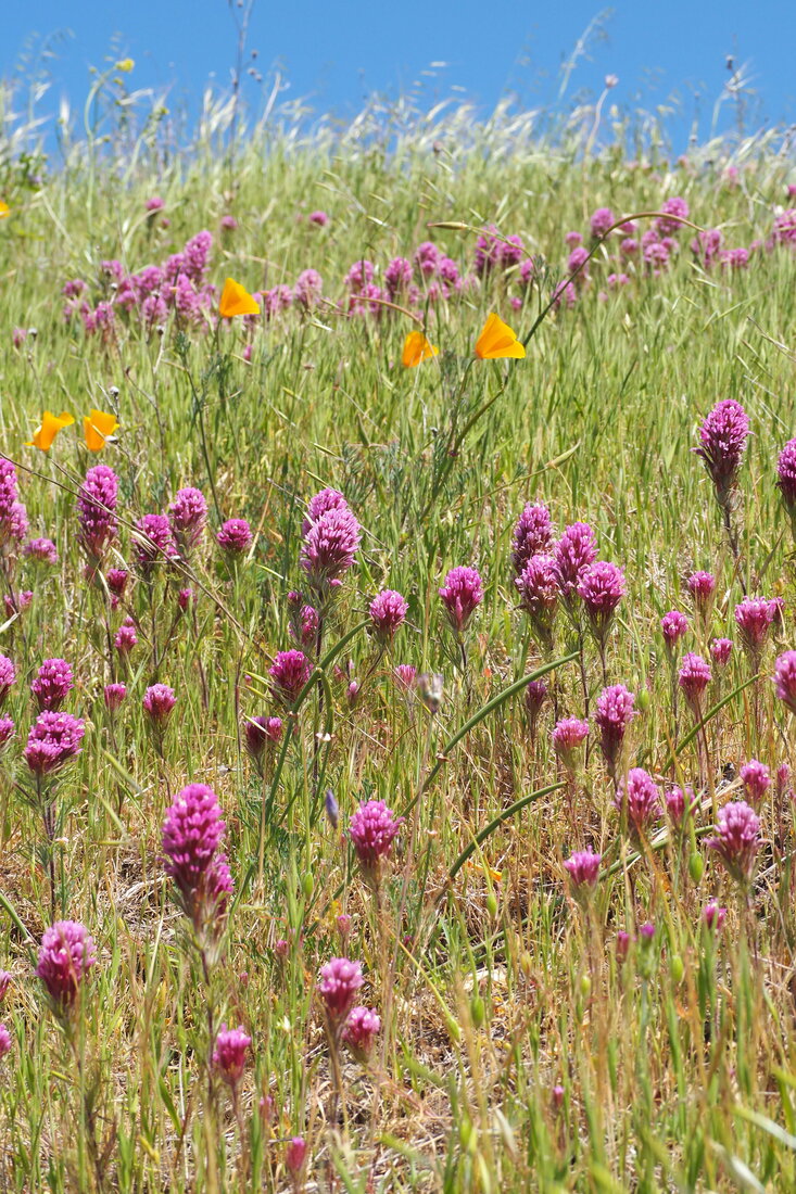
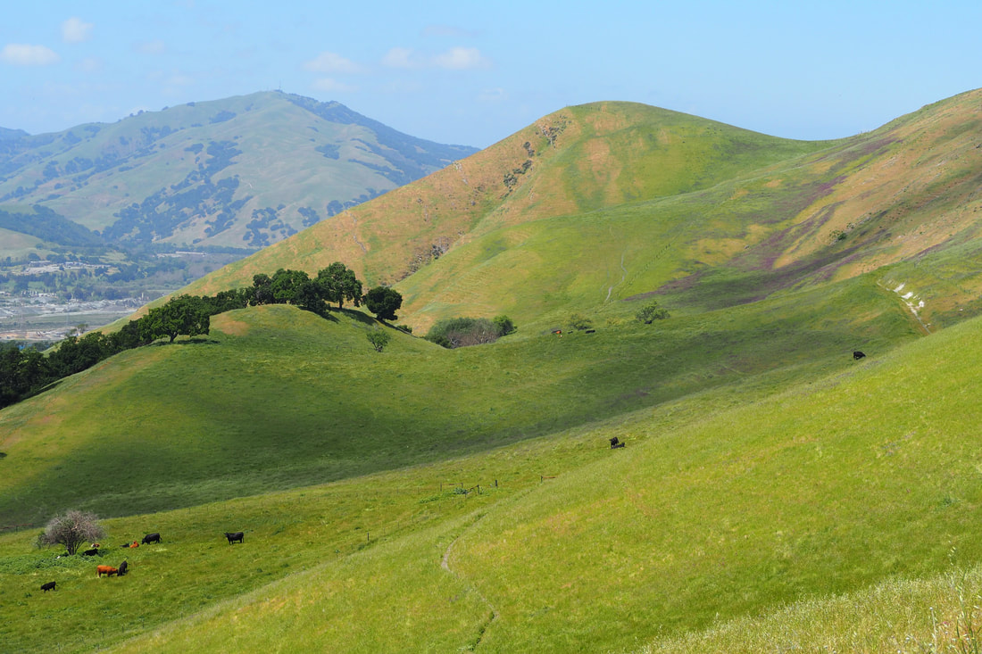
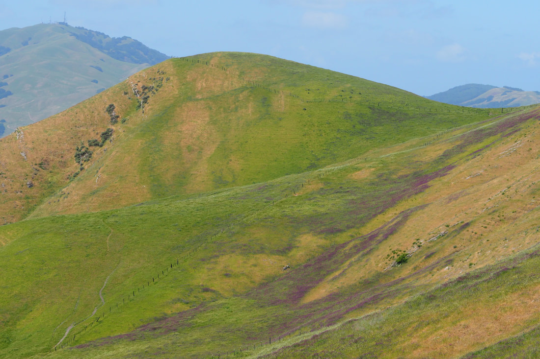
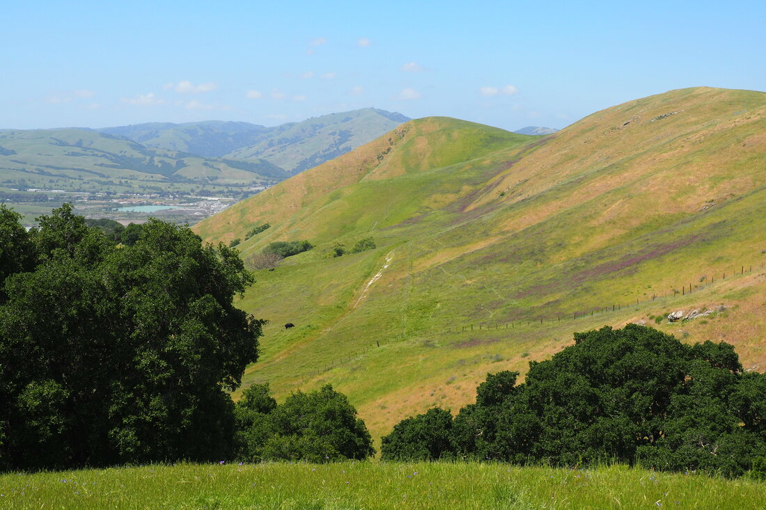
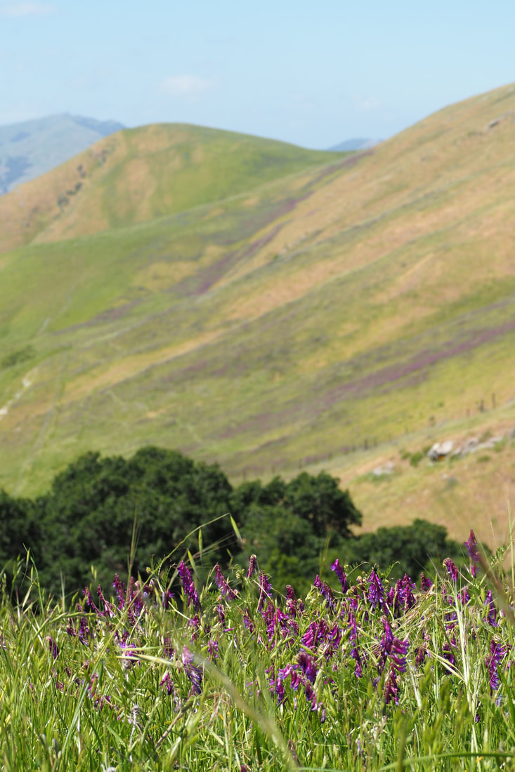
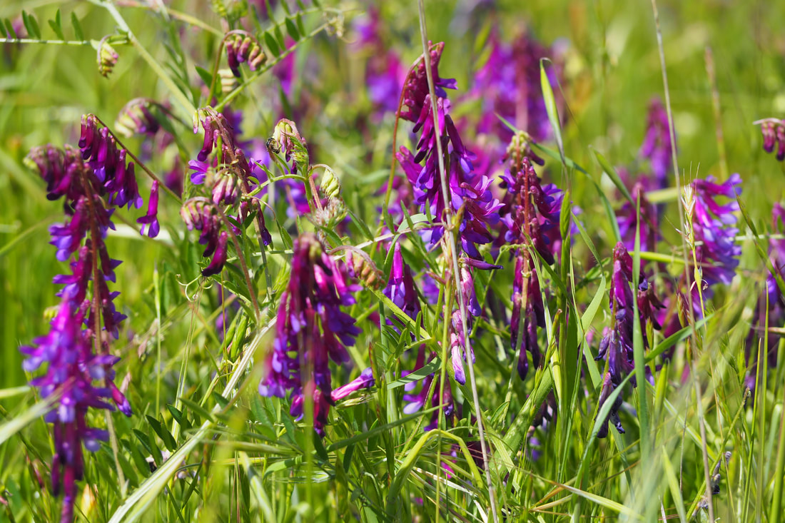
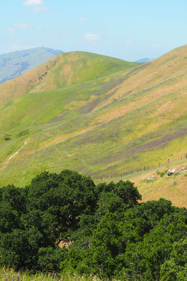
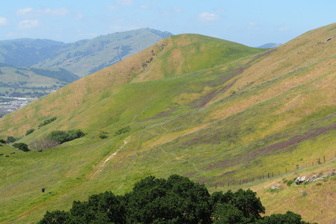
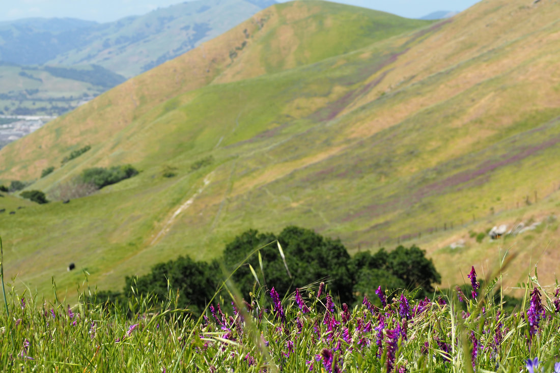
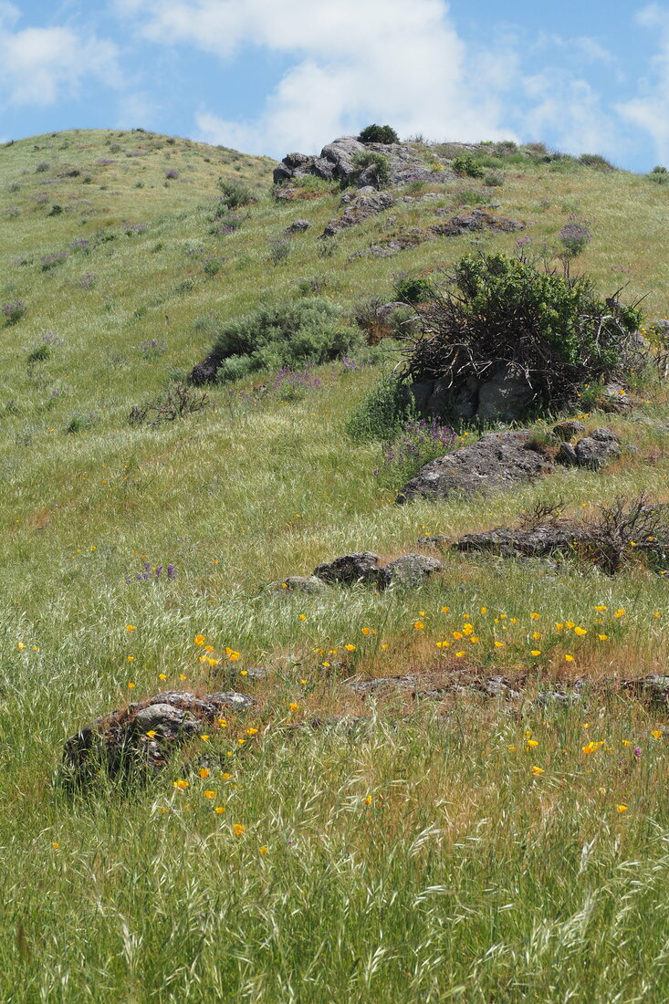
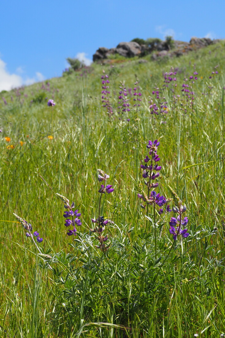
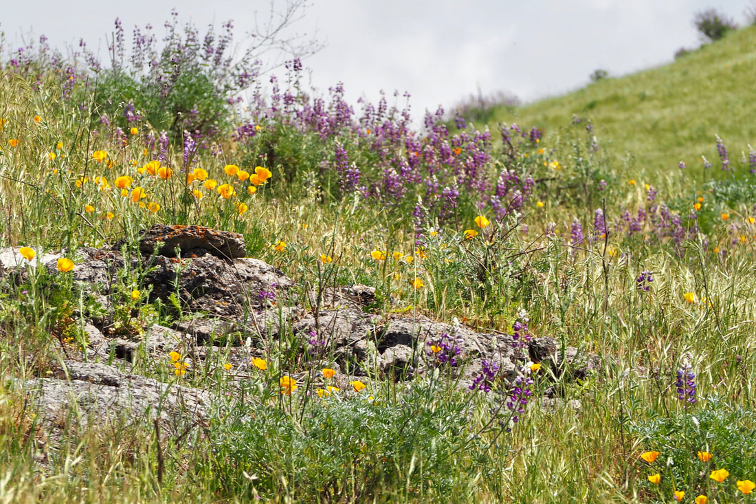
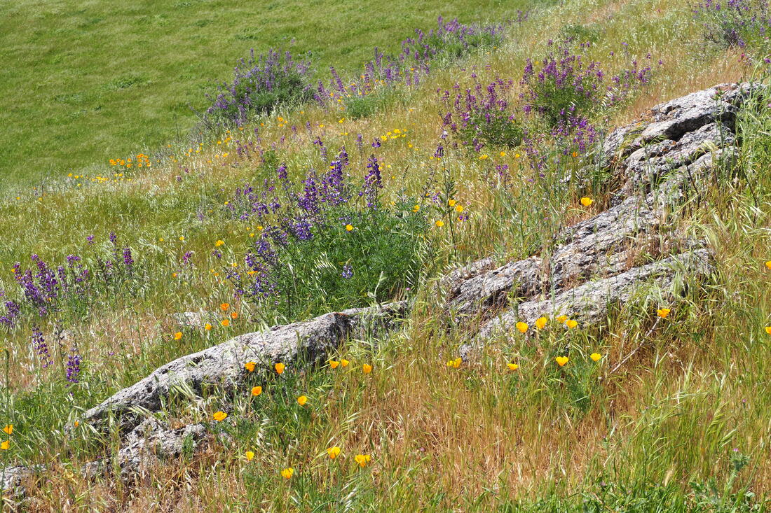
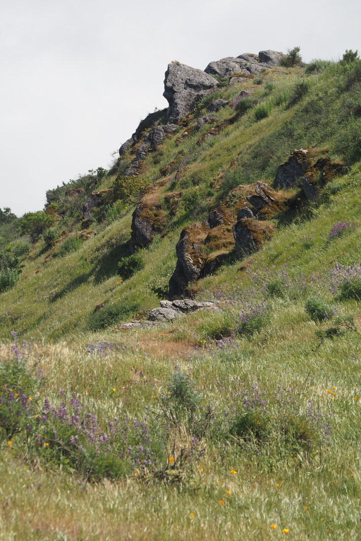
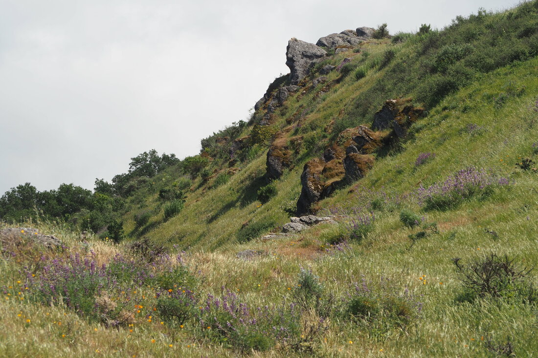
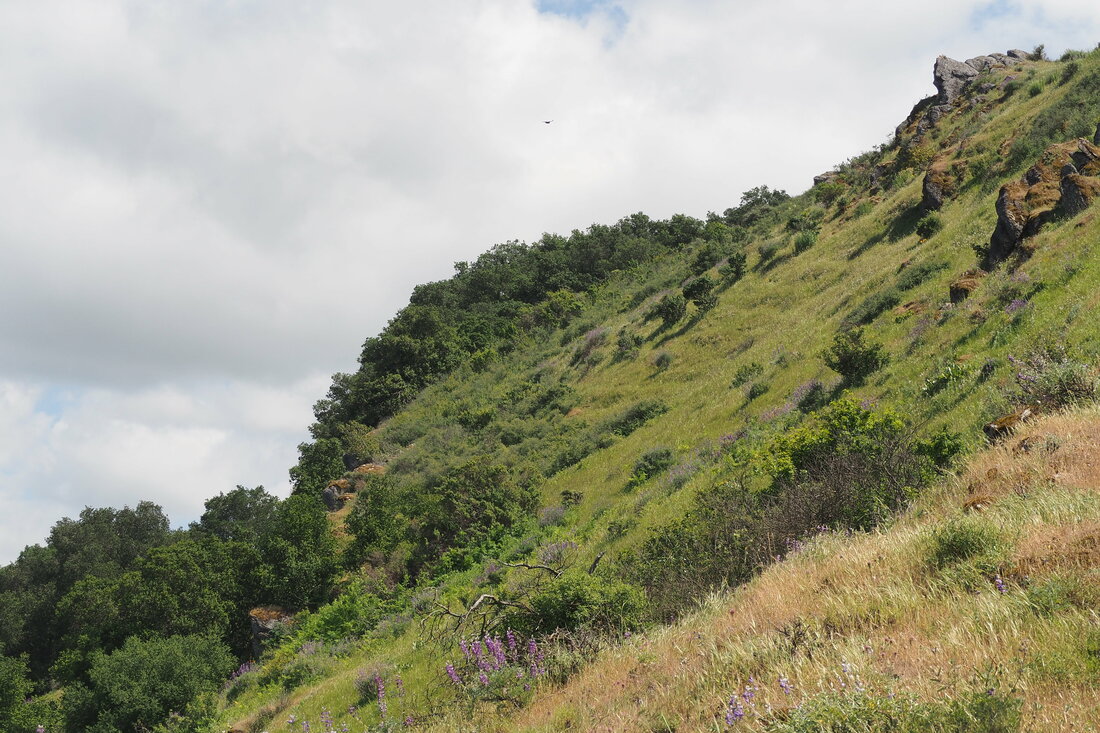
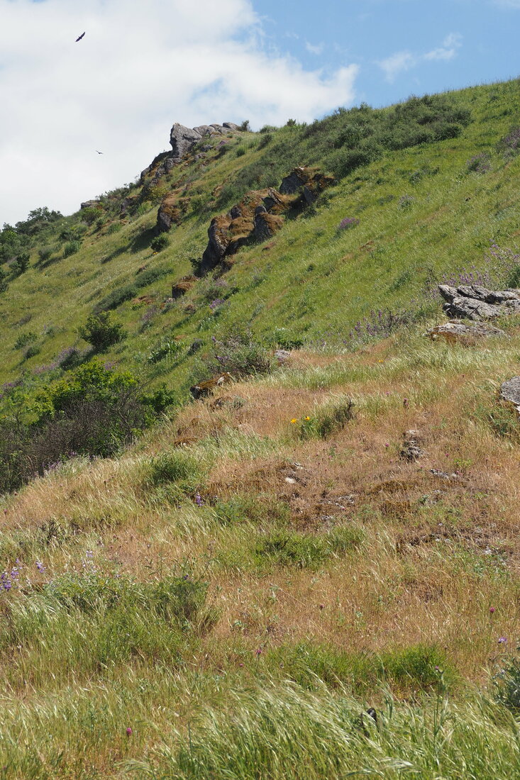
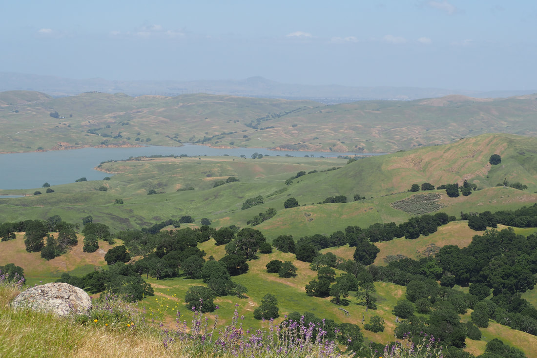
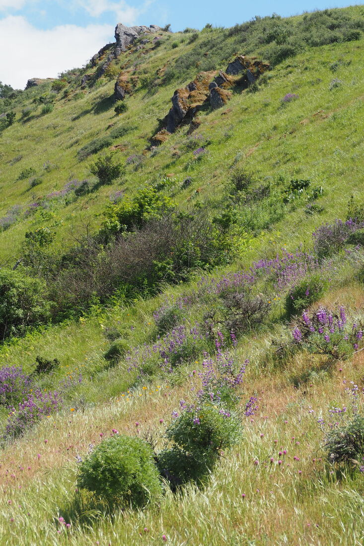
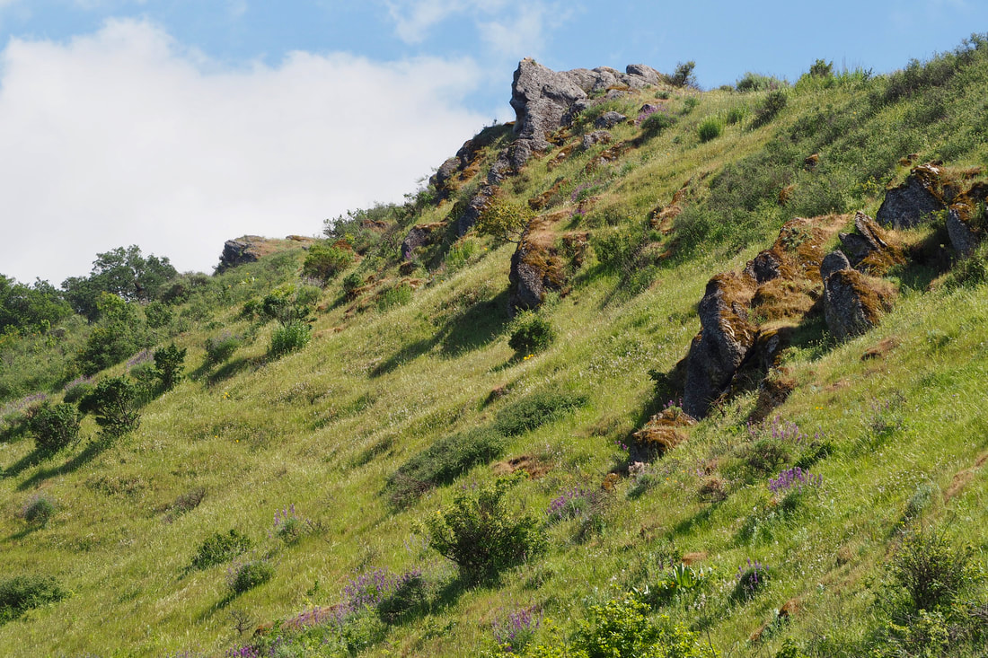
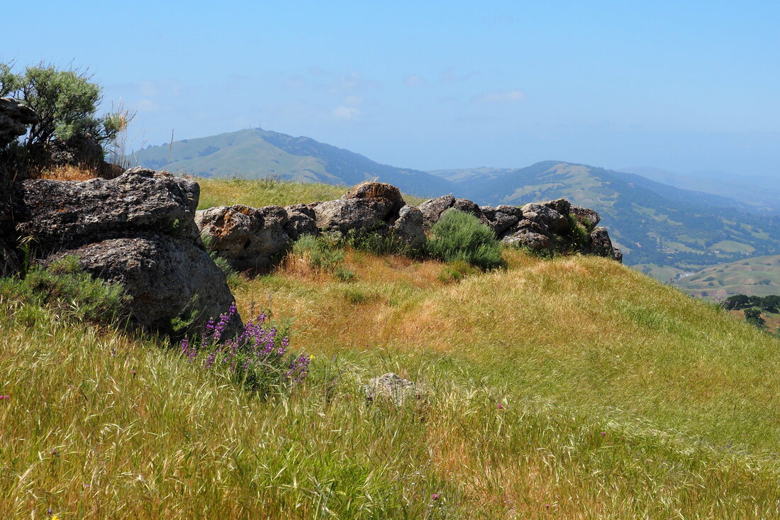
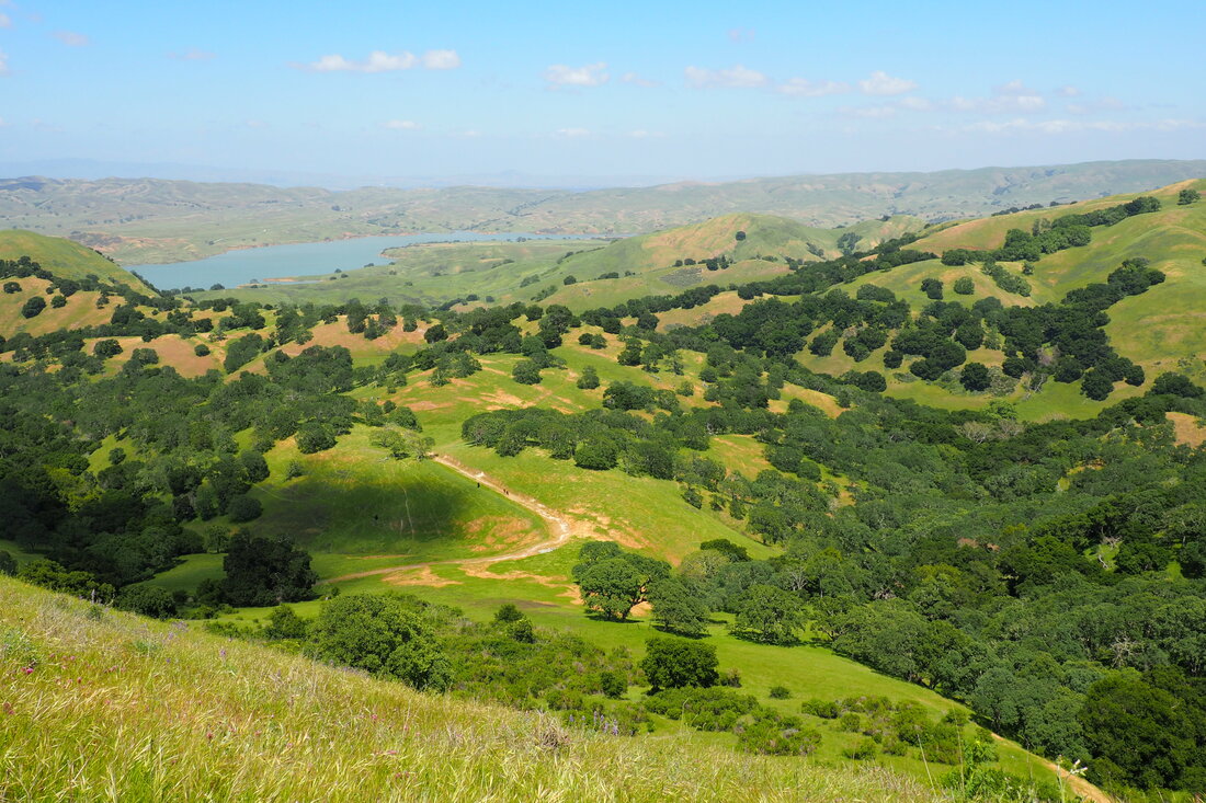
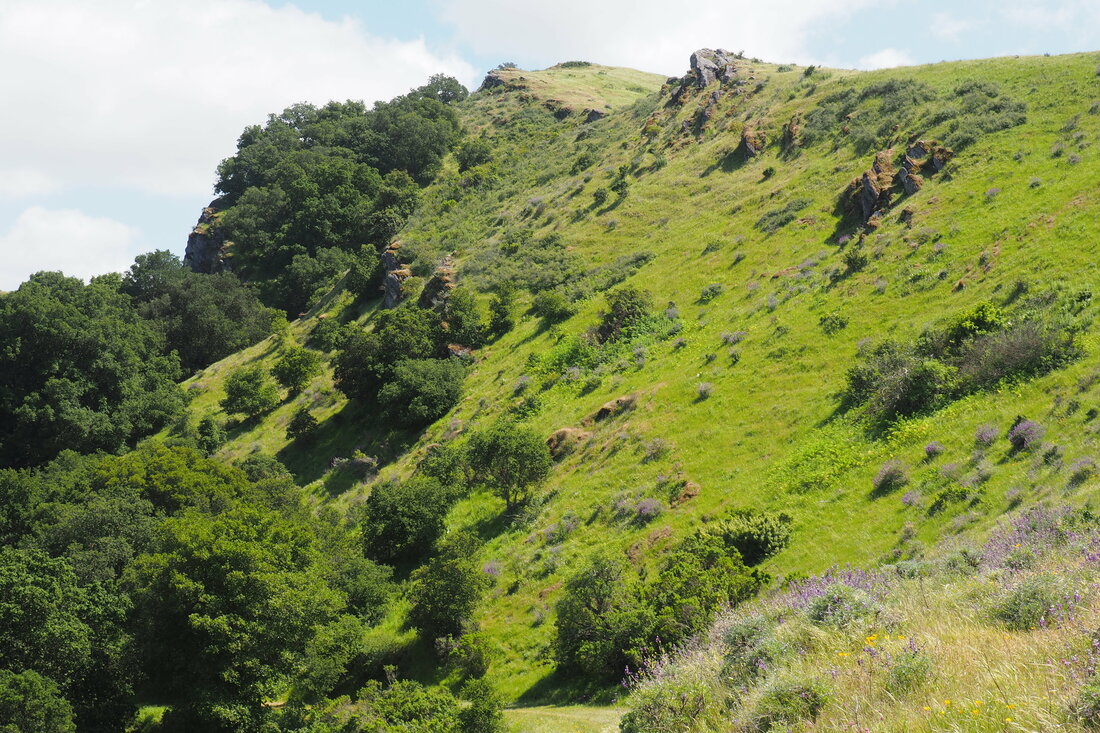
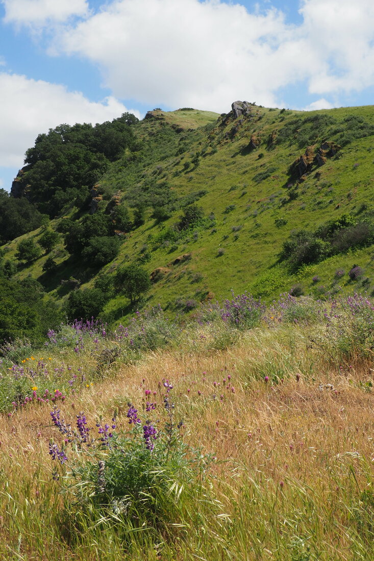
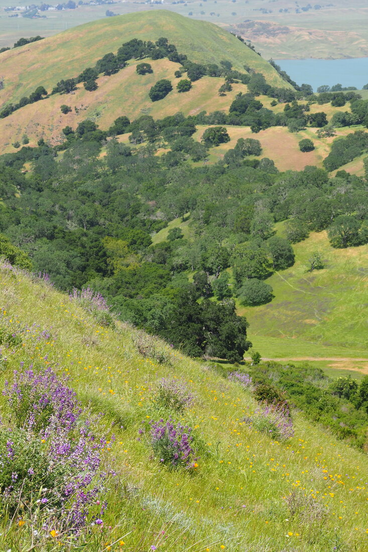
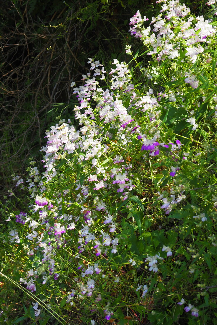
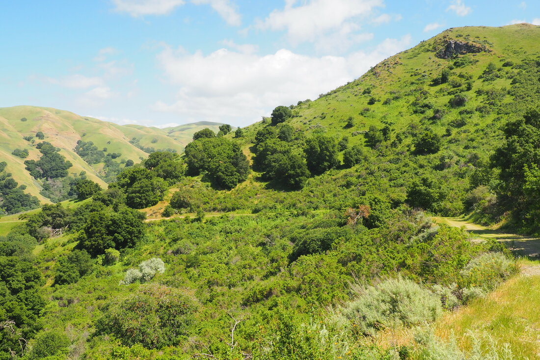
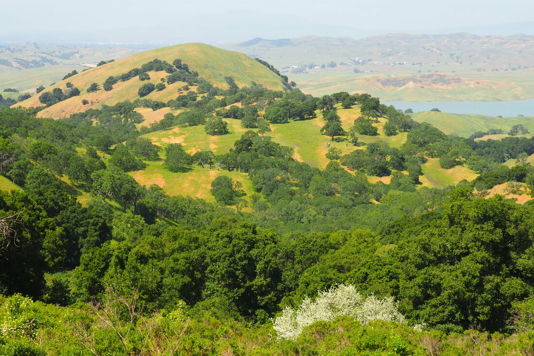
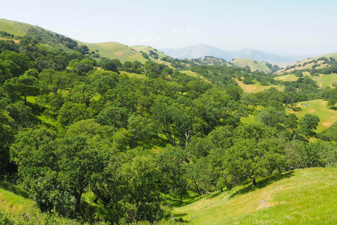
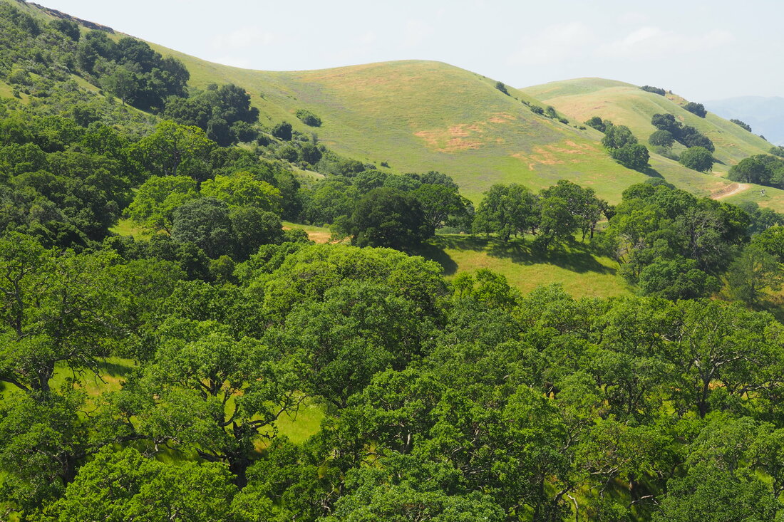
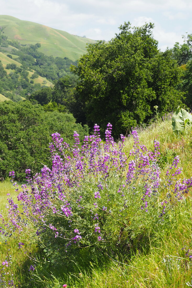
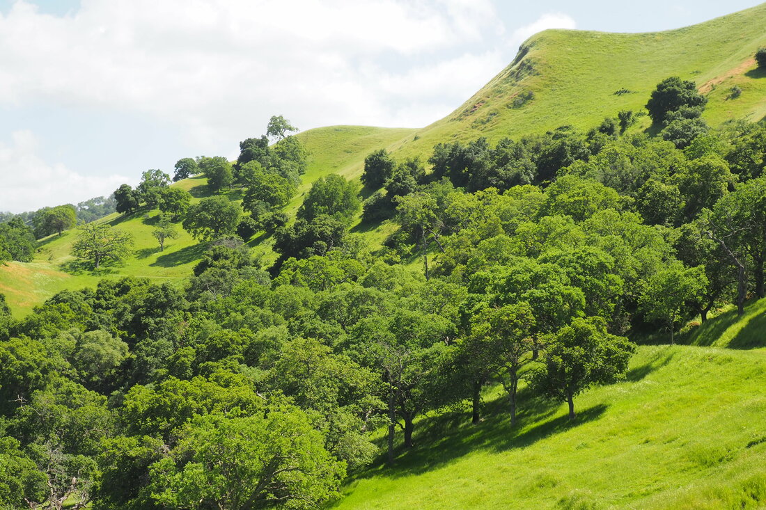
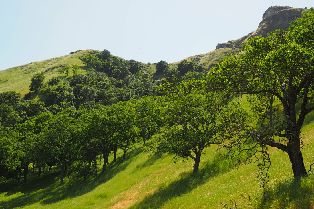
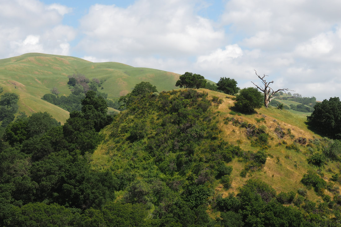
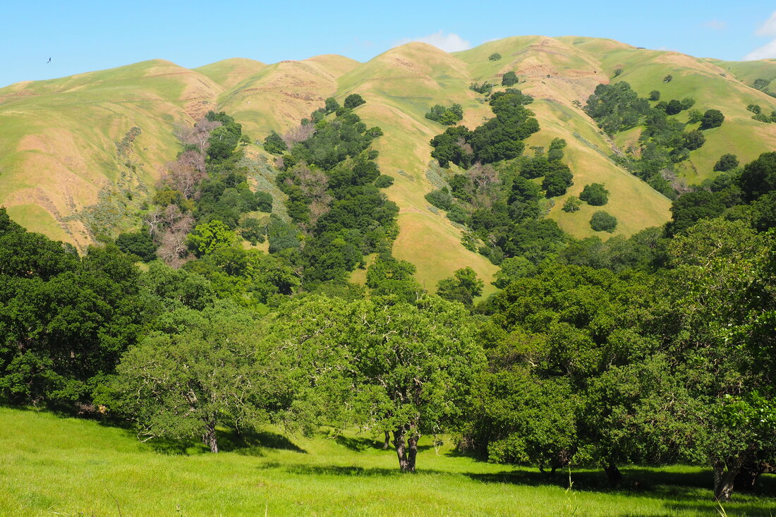
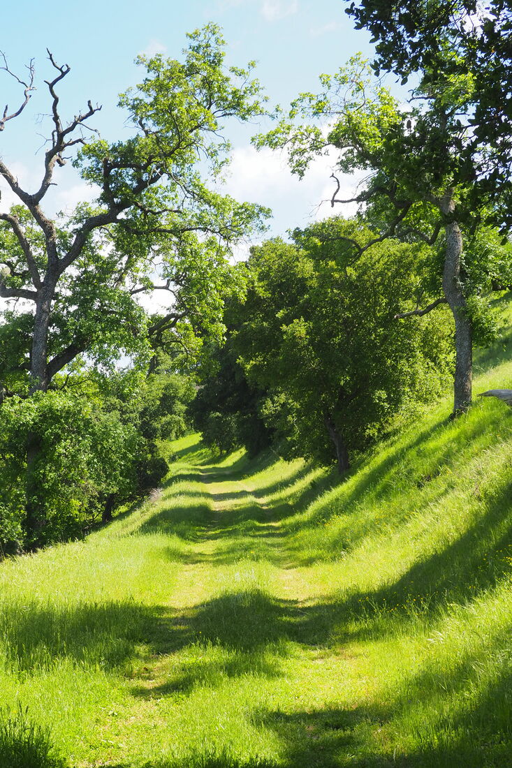
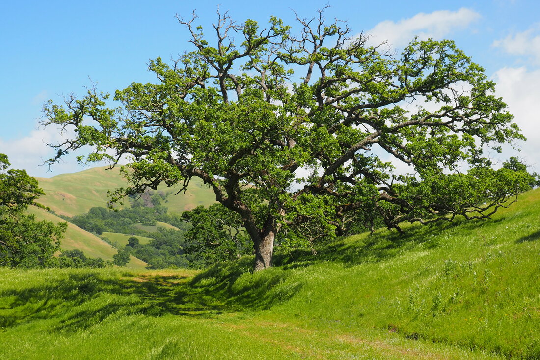
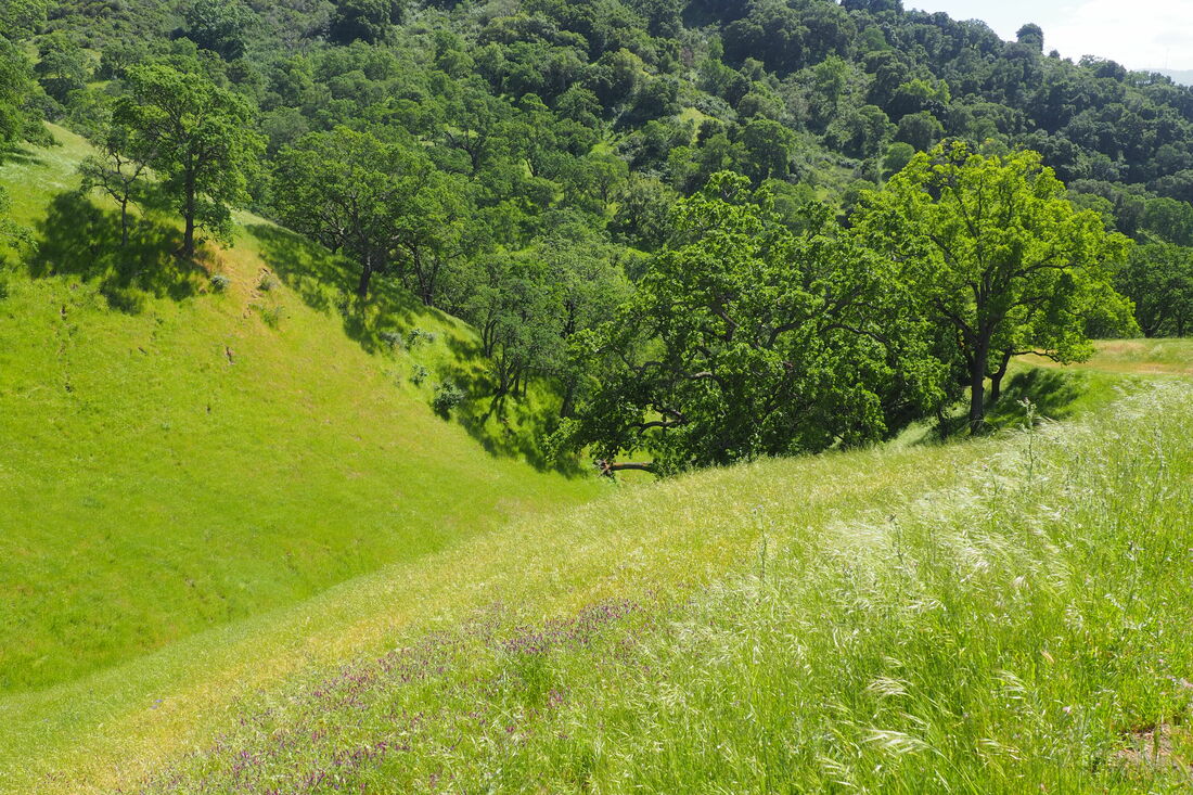
To celebrate the start of May, I went on an amazing hike at Sunol Regional Wilderness around Maguire Peaks, a distinctive set of peaks visible from Interstate-680. This 5.5-mile lollipop trail was so lovely in the spring. I saw an absolute abundance of wildflowers, especially winter vetch. The blooms looked like a river of purple rolling down the mountain here and there. It was amazing!
Picture
Picture
Picture
Picture
Detail of the Sunol park map
I was using an old guide book to plan my trip, and I wanted to go on a trail that used to be called the Lower Maguire Peaks Trail.  The trail is now closed, but confusingly there is still signage on the trail map to park at the .72 mile marker along Welch Creek Road. I could see where the cattle grate to the old trail was, but there was barbed wire across it and the trail is obviously not maintained anymore.
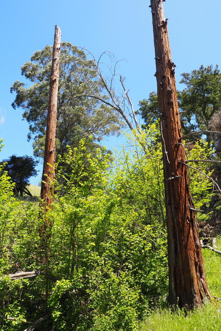
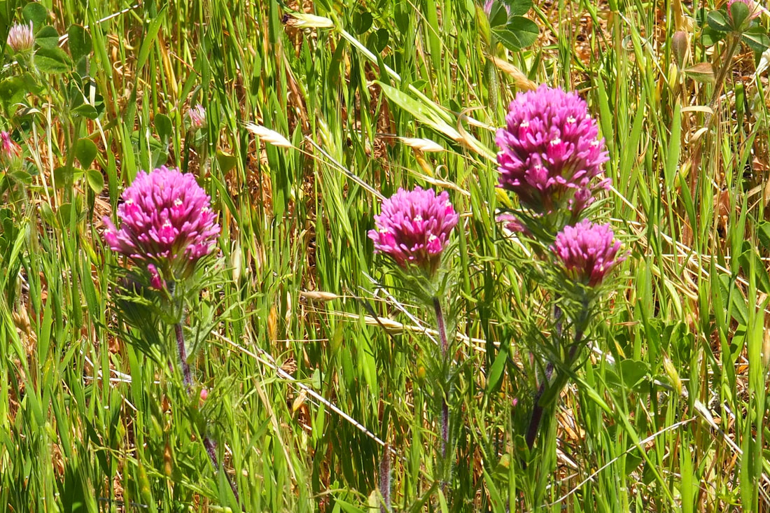
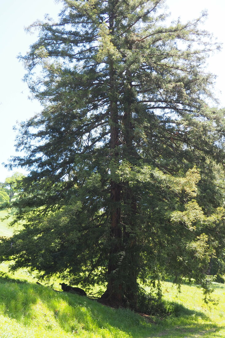
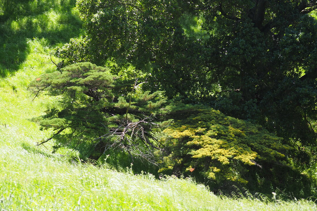
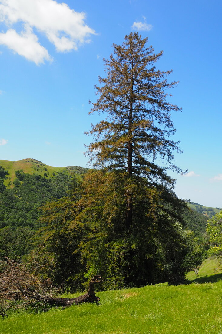
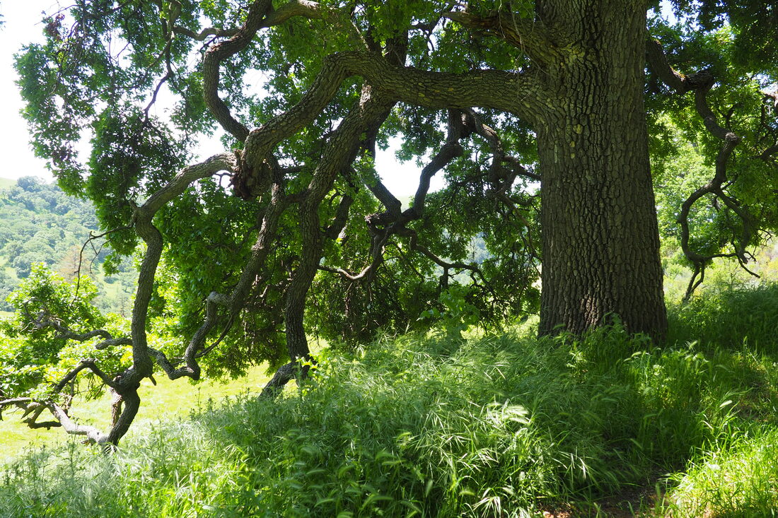
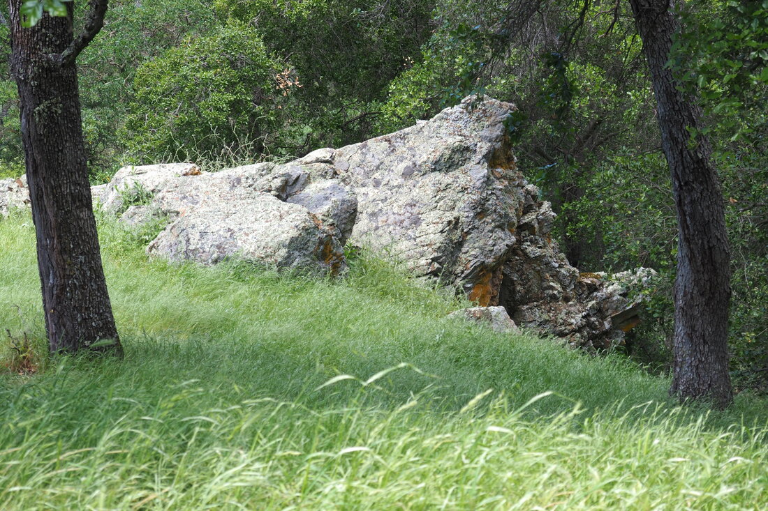
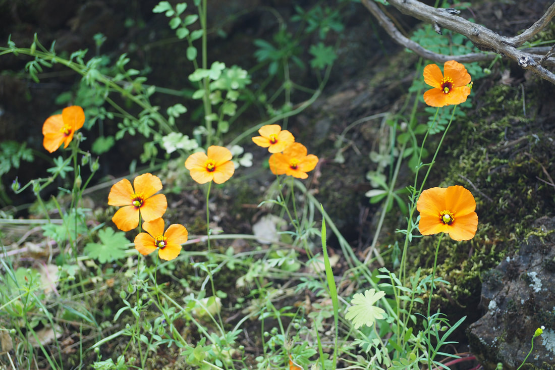
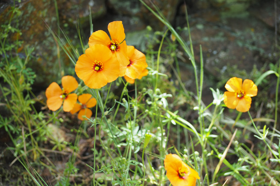
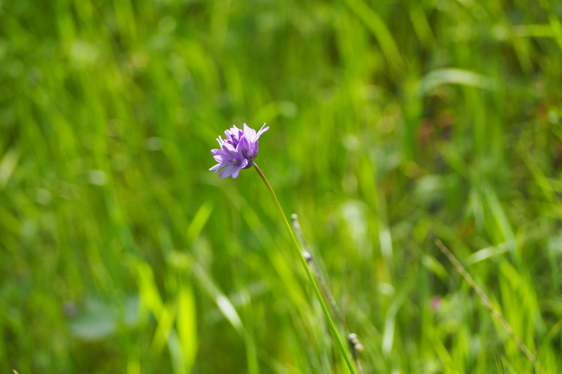
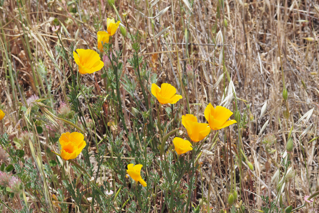
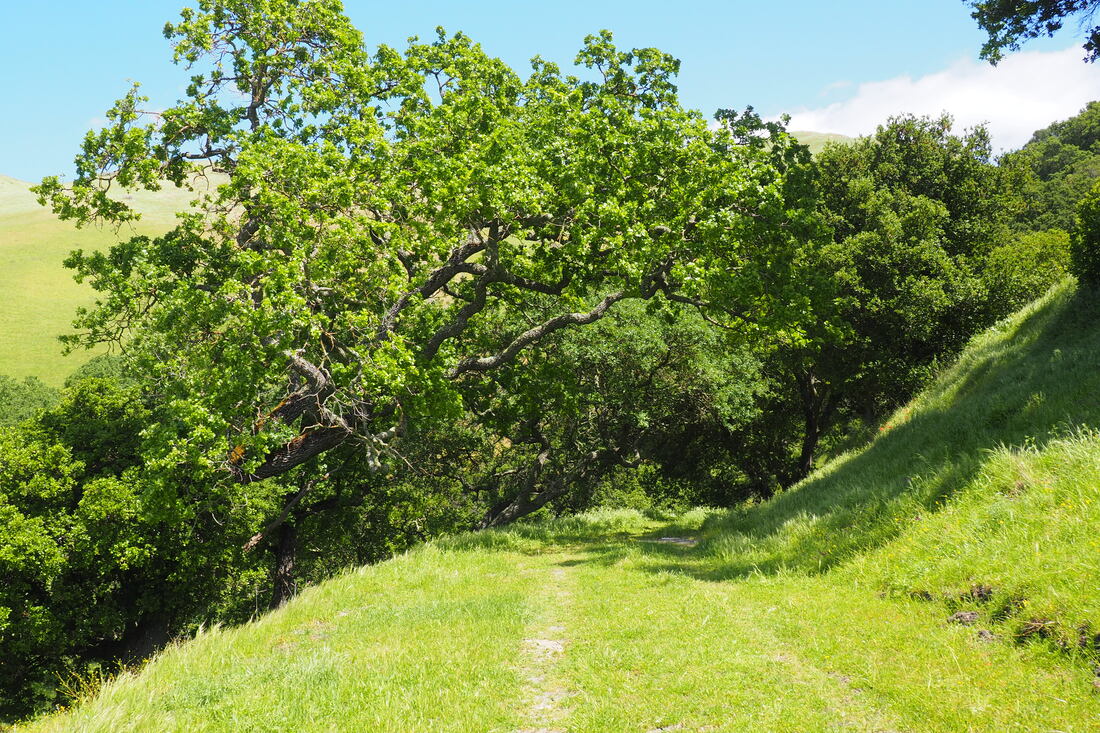
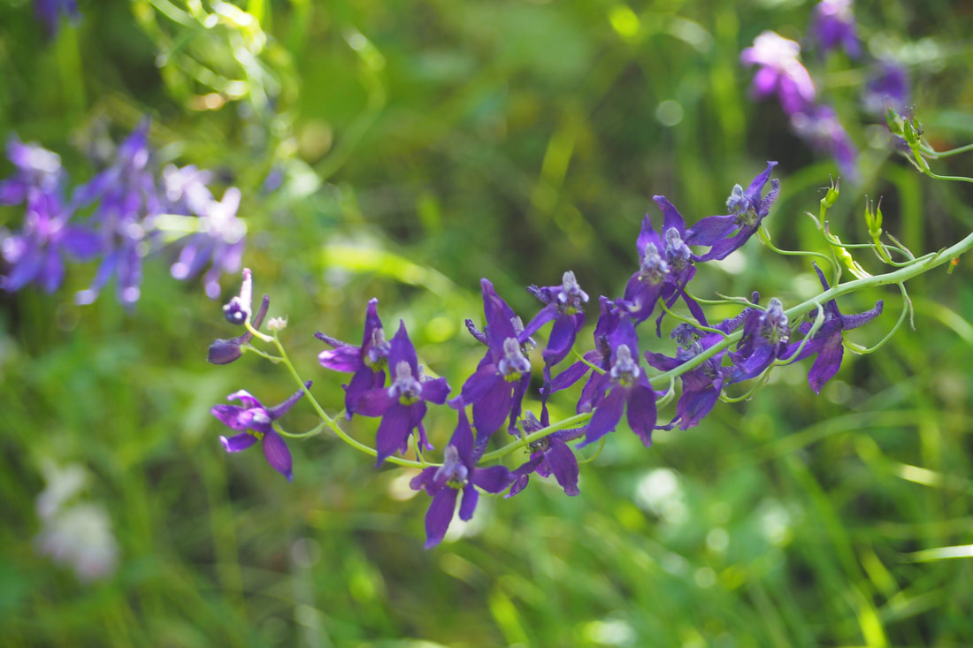
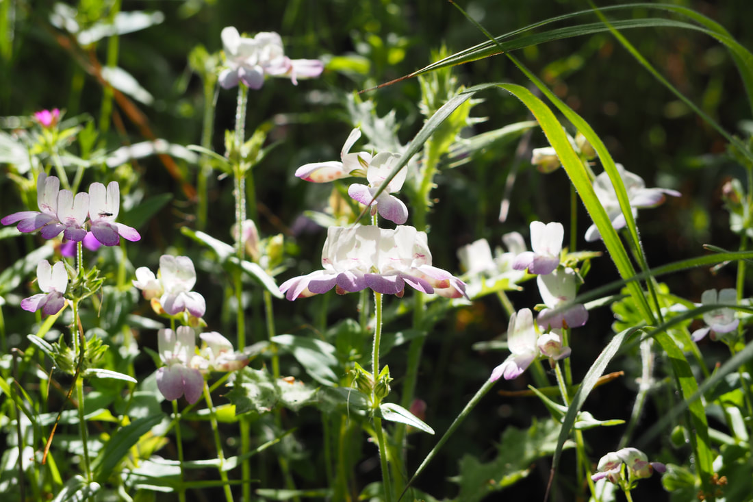
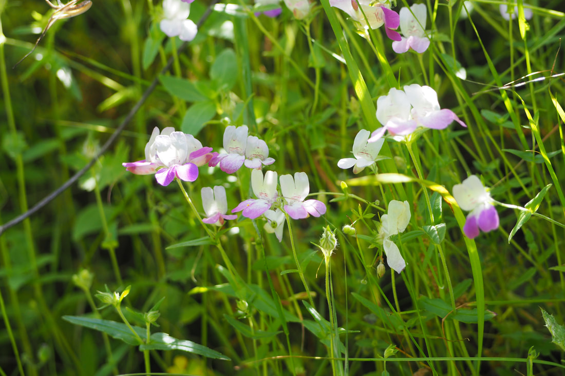
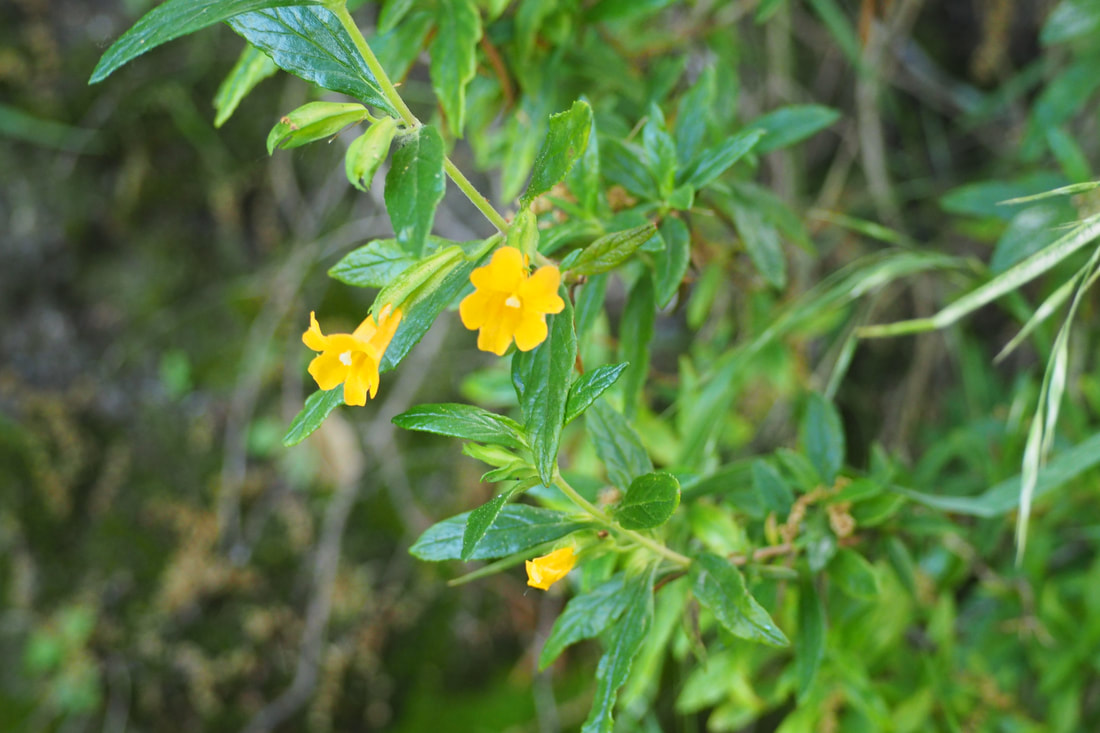
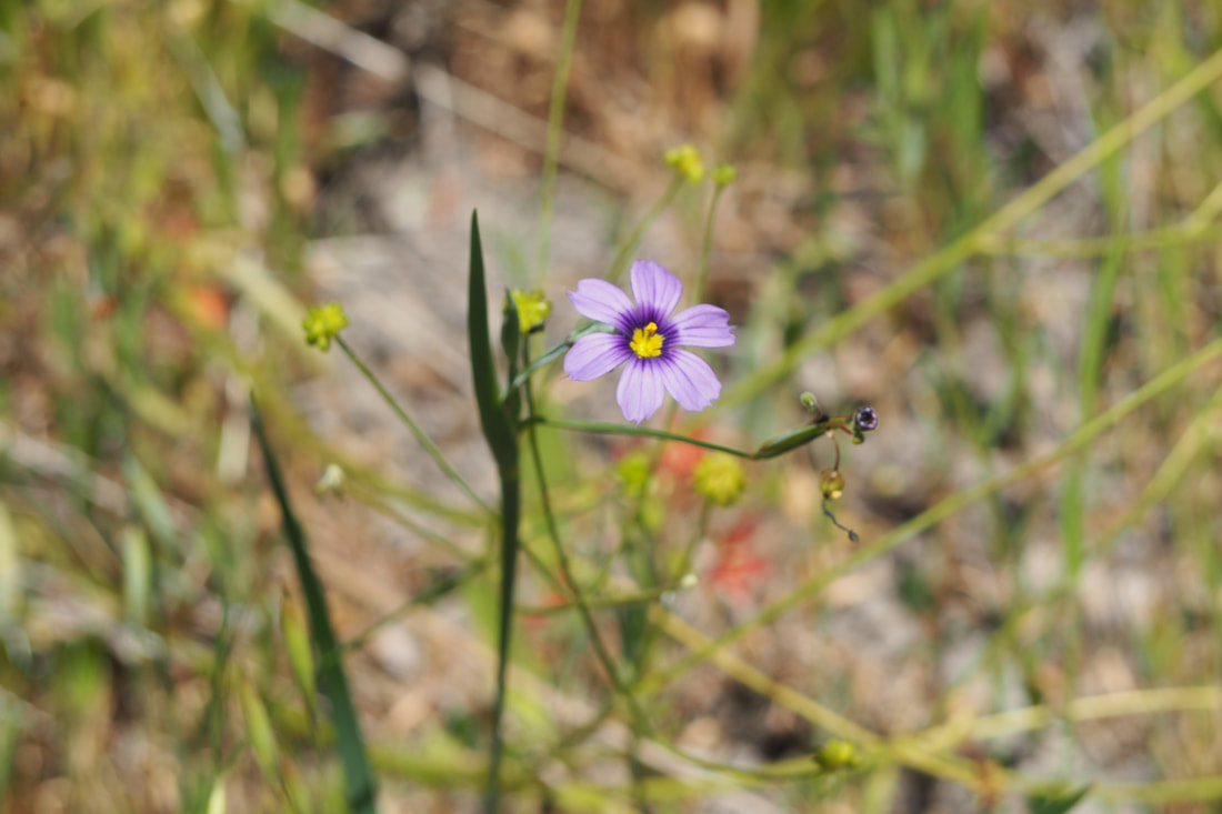
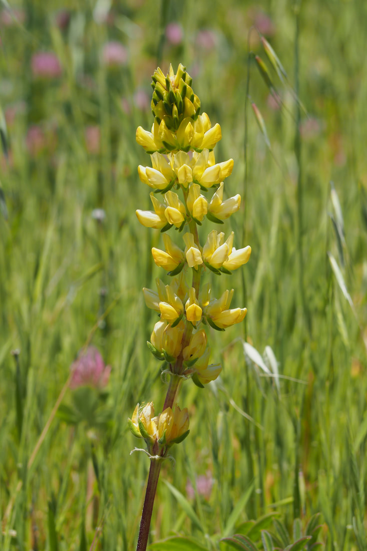
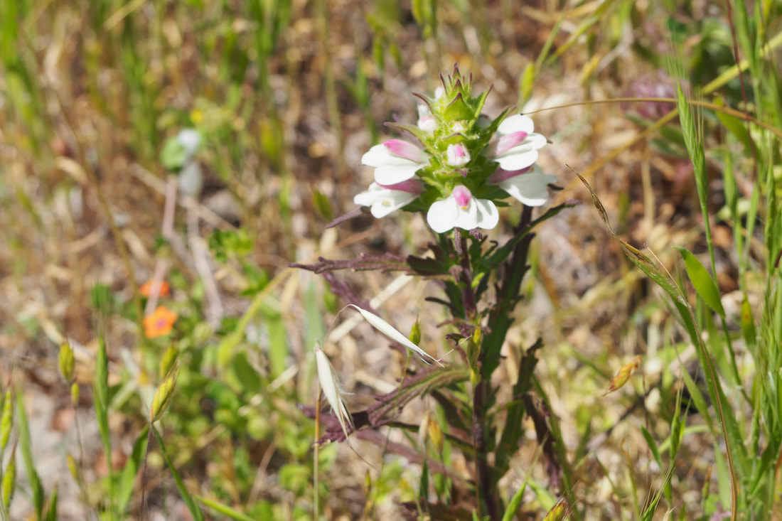
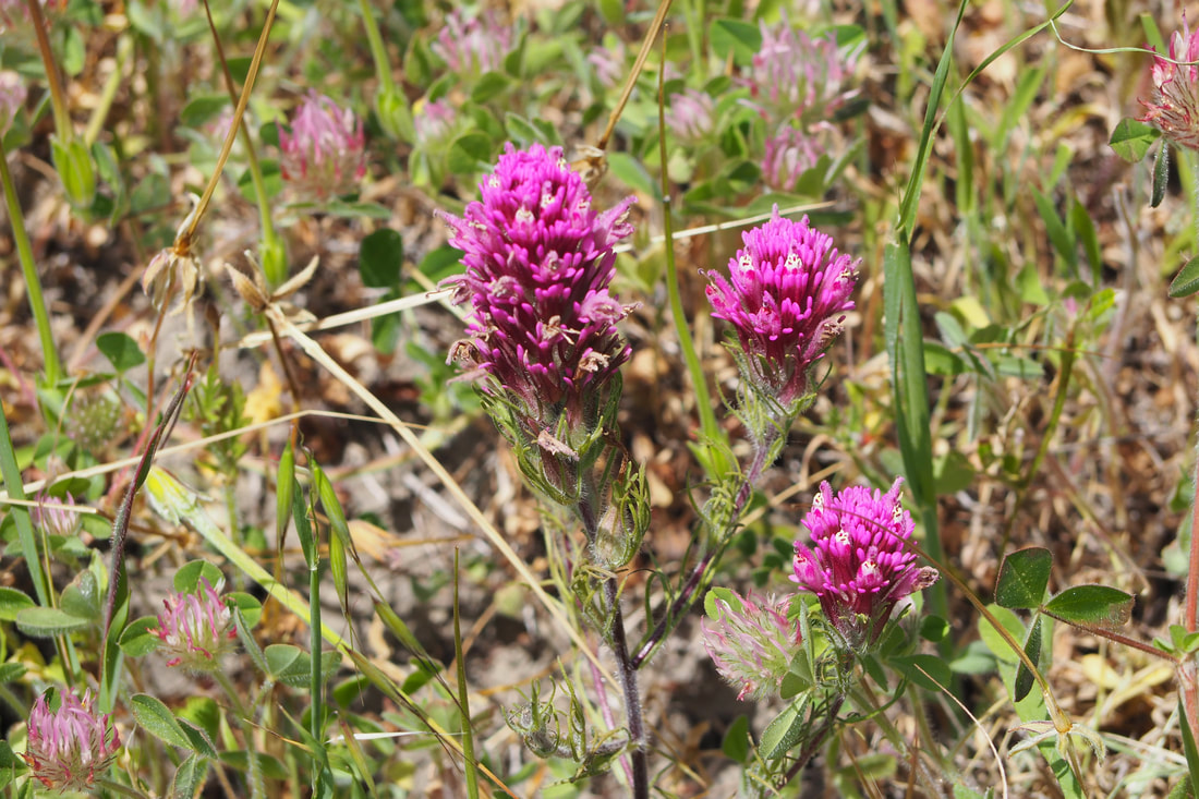
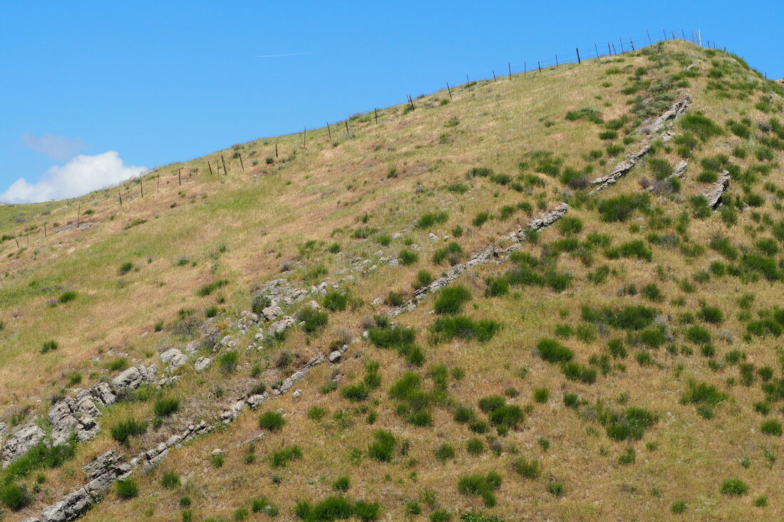
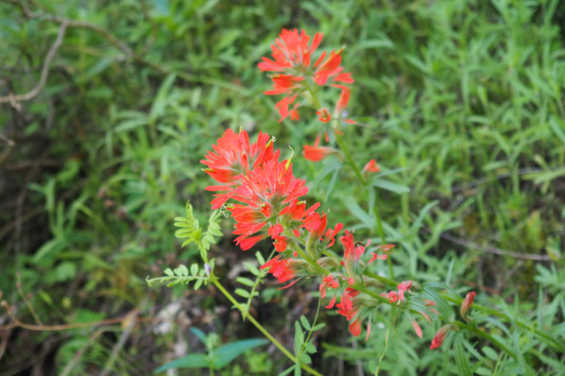
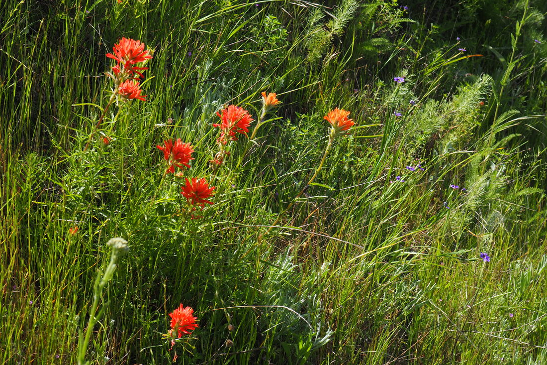
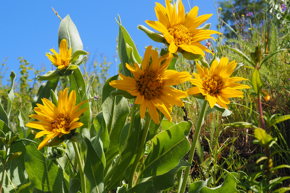
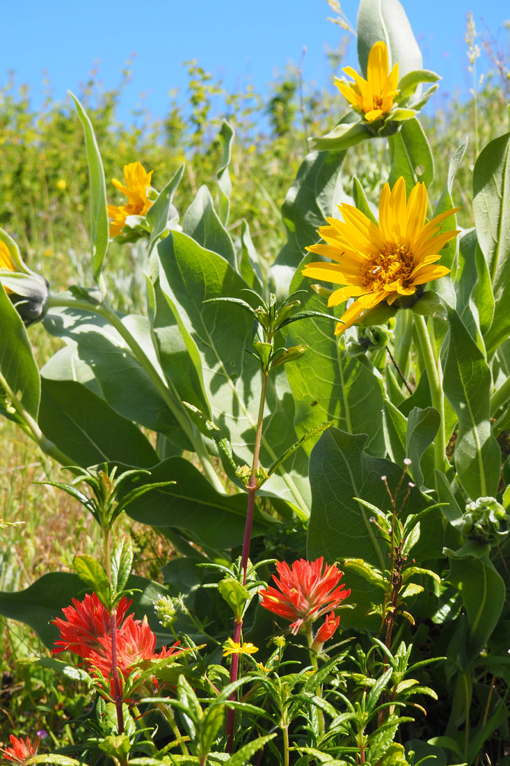
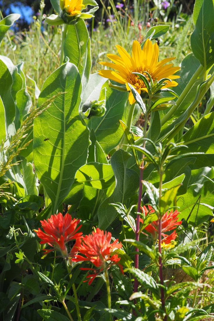
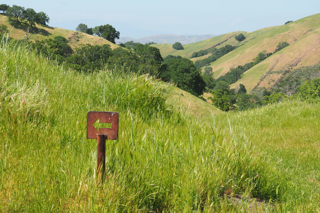
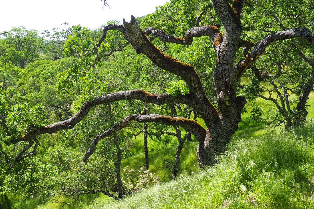
When I got home and looked online, I found that Lower Maguire Peaks Trail was closed due to storm damage a few years back. I went on a weekday, so I didn't need a parking permit (I have an annual pass), so I was lucky to find a spot next to the gate to the fire road (SO 6). There is also a small parking area near mile marker 1.6, which has access to Upper Maguire Peaks Trail (SO 5). I took Maguire Road uphill and followed signs for Maguire Peaks Trail (SO 8). I took the clockwise direction, and I really liked that route overall. There was shade for some of my ascent, and the hardest part of the climb had the sun at my back. Overall, the elevation gain wasn't too bad, though. A significant amount of the hike is pretty flat.

I saw poppies, vetch, mule ears, Ithuriel's' spear, blue dicks, blue-eyed grass, Chinese houses, sticky monkey flower, purple owl's clover, several varieties of lupine, Indian paintbrush, larkspur, and mustard (among a few others). It was just an explosion of wildflowers, which I really loved.

I do not think that this would be a good trail to bring young kids on, at least not kids in a stroller; although parts of the trial are flat, the places of elevation can can be steep in a few places, and it would not be fun to push a stroller up or down those sections.

I loved this hike, and I will definitely do it every spring from now on. It's amazing how remote it feels. Also, there was a really unusual variety of trees--I was surprised to see a few redwoods growing out here! Along with those redwoods, there were sycamores, eucalyptus, and oaks. It was really lovely!
2 Comments
Donald
4/12/2020 10:30:11 am

Thanks- I was here on an extended visit to the area when the lockdown hit- hiking 3-4 hours a day. I had a long bucket list of parks / trails I wanted to visit, and Sunol was next on the list! Boo- but your photos help ease the pain.

Reply
Claire
4/15/2020 06:59:48 pm

Thanks for your comment, Donald! I am sorry that you missed Sunol, and I know how you feel. I think that the park agencies are making the right calls, but it doesn't make it any easier. I am glad that the photos are helping--I am returning to them too!

Reply


Leave a Reply.

    Archives

    December 2020
    November 2020
    October 2020
    September 2020
    August 2020
    July 2020
    June 2020
    May 2020
    April 2020
    March 2020
    February 2020
    January 2020
    December 2019
    November 2019
    October 2019
    September 2019
    August 2019
    July 2019
    June 2019
    May 2019
    April 2019
    March 2019
    February 2019
    January 2019
    December 2018
    November 2018
    October 2018
    September 2018
    August 2018
    July 2018
    June 2018
    May 2018
    April 2018
    March 2018
    February 2018
    January 2018
    November 2017
    October 2017
    September 2017
    August 2017
    April 2017
    March 2017
    February 2017
    January 2017
    November 2016
    October 2016
    September 2016
    August 2016
    July 2016
    June 2016
    May 2016
    April 2016
    March 2016
    February 2016
    January 2016
    December 2015
    November 2015
    October 2015
    September 2015

    Categories

    All
    Art Expedition
    Bay Laurel Trees
    Bayside
    Beaches
    Berkeley City Parks
    Bureau Of Reclamation
    Camping
    Cliffs
    Coastside
    Contra Costa Water District
    Creeks
    Deserts
    East Bay Municipal Utility District
    East Bay Regional Park District
    EBRPD Trails Challenge
    Eucalyptus
    Flat Hikes
    Gulf Coast Family Vacation
    Historical Sites
    Kid Friendly
    Lakes
    LARPD
    Length: 10 To 15 Miles
    Length: 15+ Miles
    Length: 1 To 5 Miles
    Length: 5 To 10 Miles
    Madrones
    Manzanita
    Maples
    Marin County Parks
    Midpeninsula Regional Open Space Preserves
    Mountains
    Museums
    National Forest Service
    National Parks
    National Wildlife Refuge
    Oakland City Parks
    Oaks
    Palo Alto & Atherton Parks
    Peninsula Open Space Trust
    Pleasanton City Parks
    Portola Valley Town Trails
    Redwoods
    Rocks
    San Francisco City Parks
    San Mateo County Parks
    Santa Clara County Parks
    Santa Cruz City Parks
    Sierras
    Stanford
    State Parks
    Swimming Holes
    Sycamores
    Trains
    Tri-Valley
    UC Berkeley
    UC Davis
    Walnut Creek Parks
    Wetlands
    Wildflowers
    Wildlife
    Zoos Farms & Wildlife Preserves

    RSS Feed

Powered by Create your own unique website with customizable templates.
  • Home
  • About
  • Regions
  • Parks
  • Trails
  • Photography