Lonely Hiker
  • Home
  • About
  • Regions
  • Parks
  • Trails
  • Photography

Trails

McArthur-Burney Falls Memorial State Park

6/25/2016

0 Comments

 
Picture
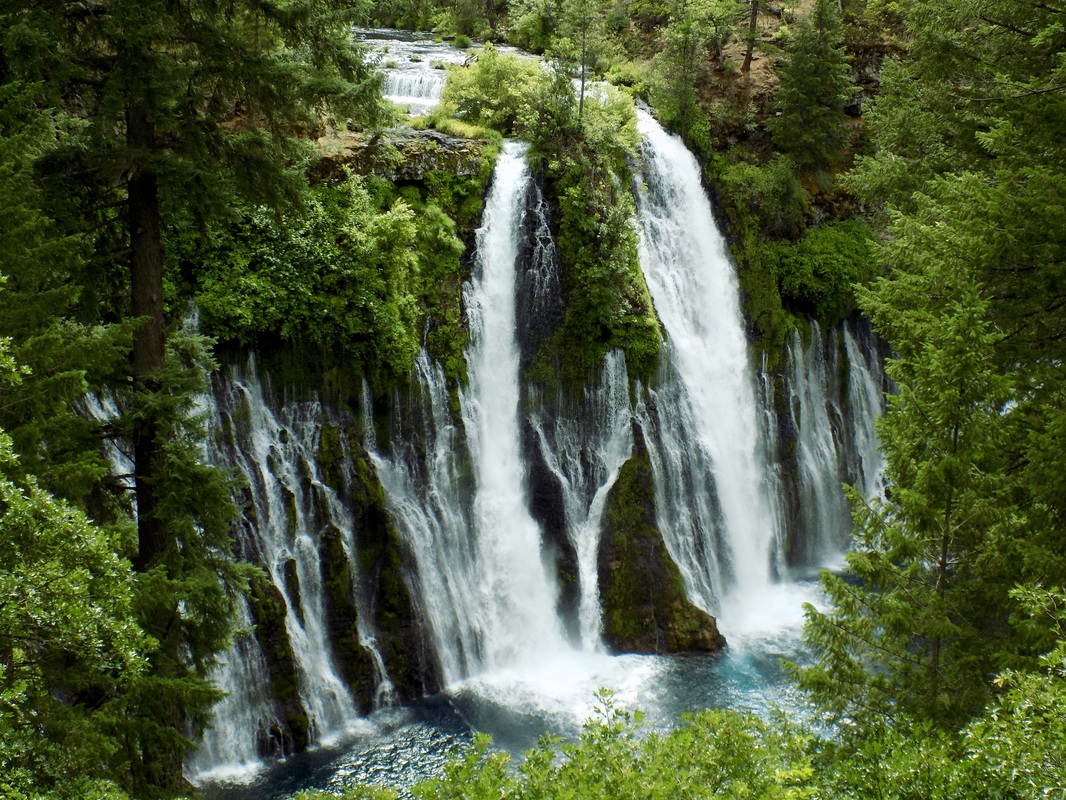
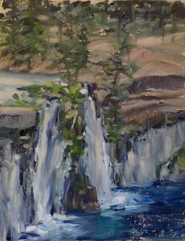
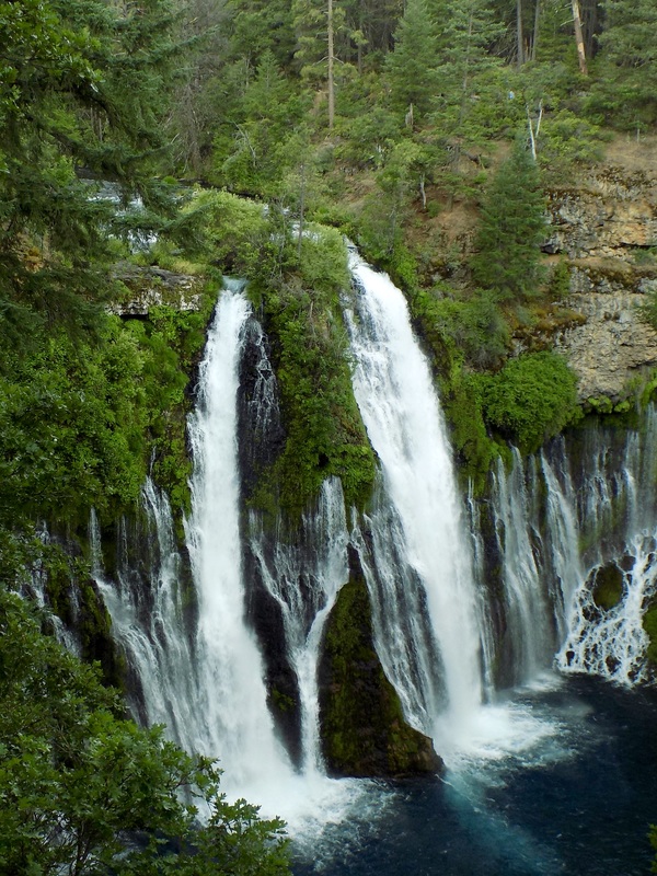
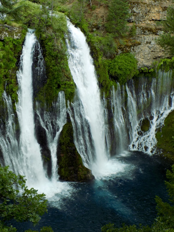
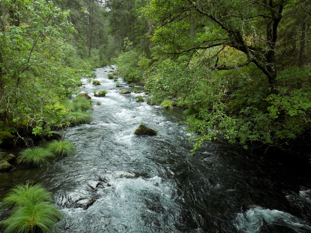
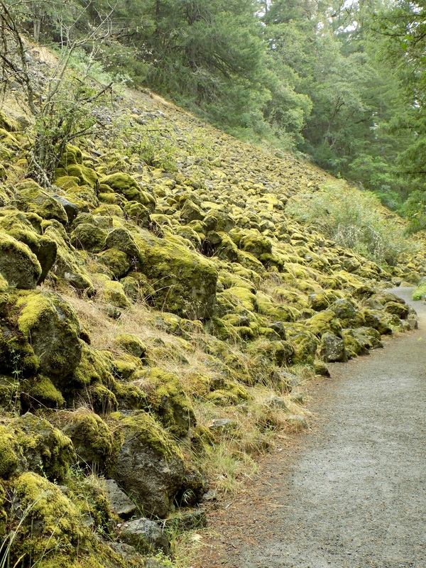
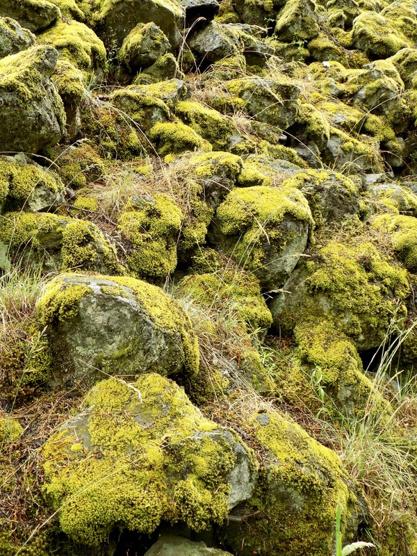
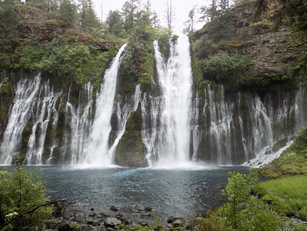
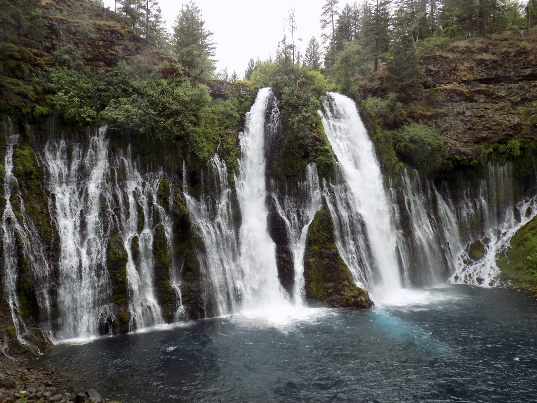
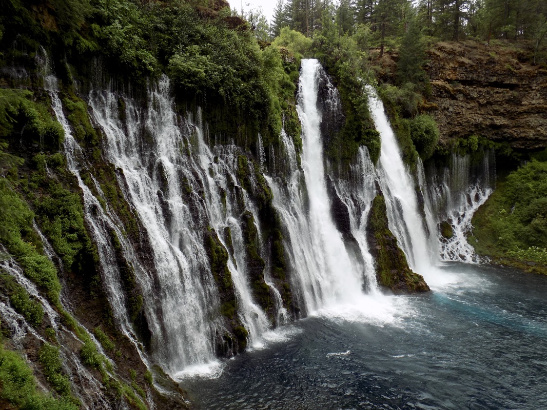
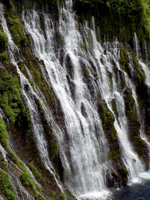
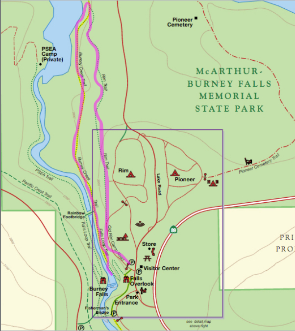
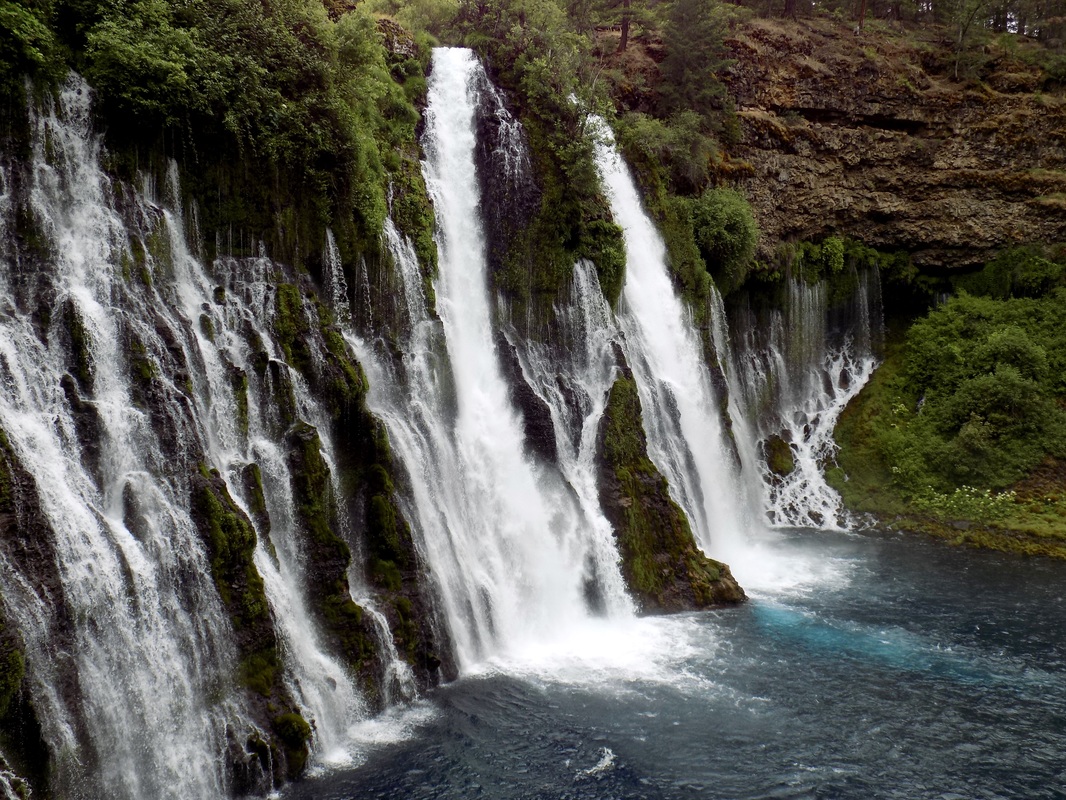
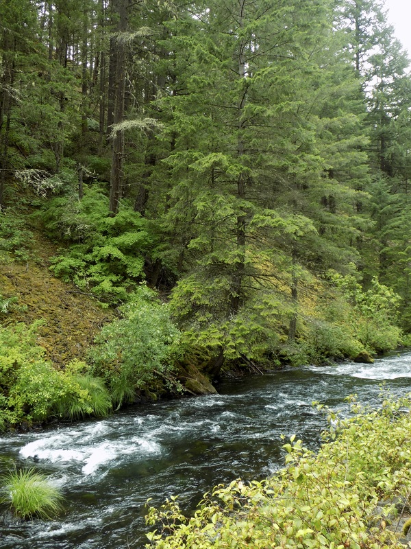
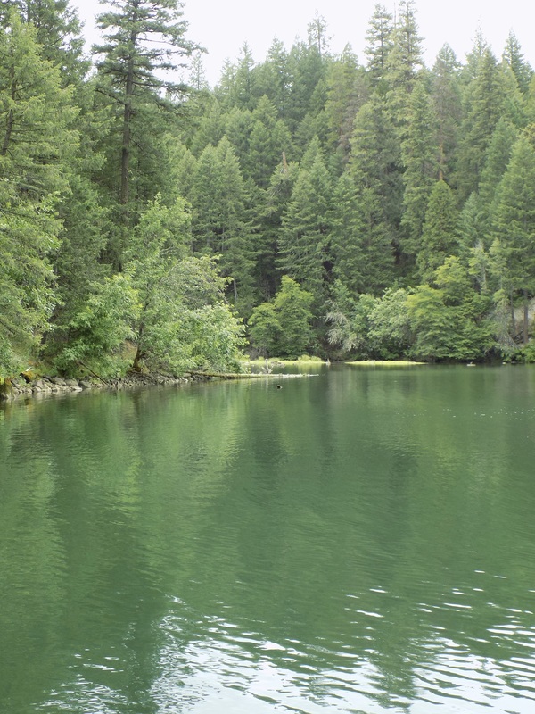
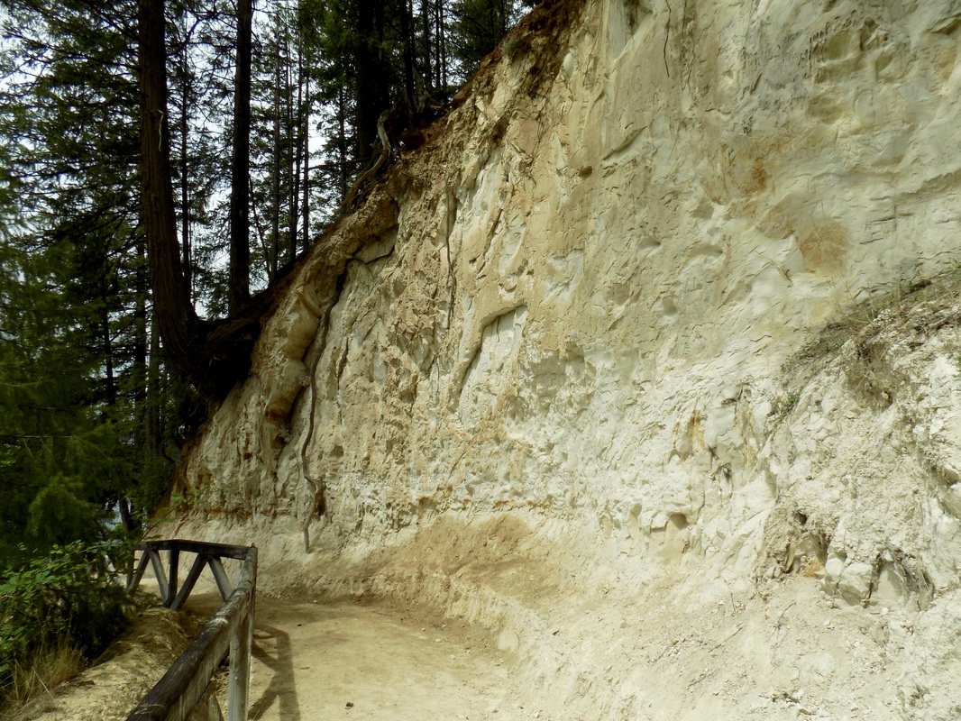
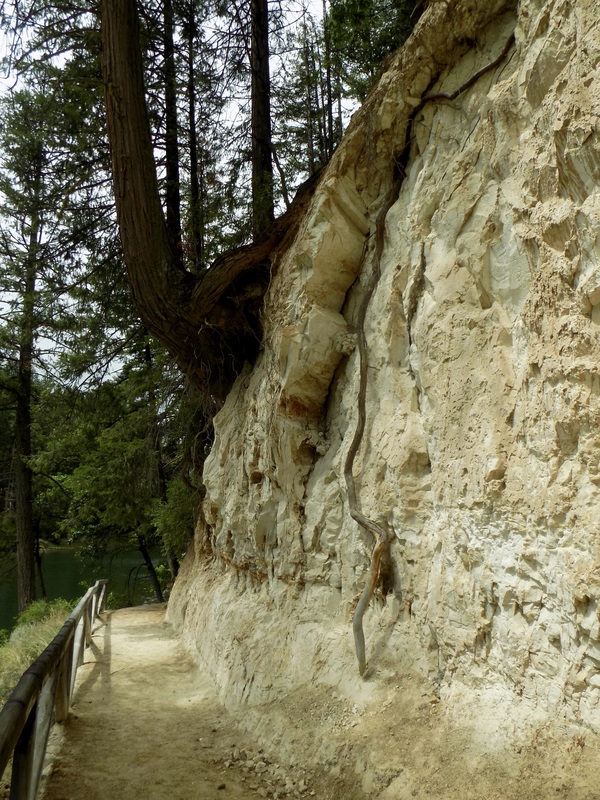
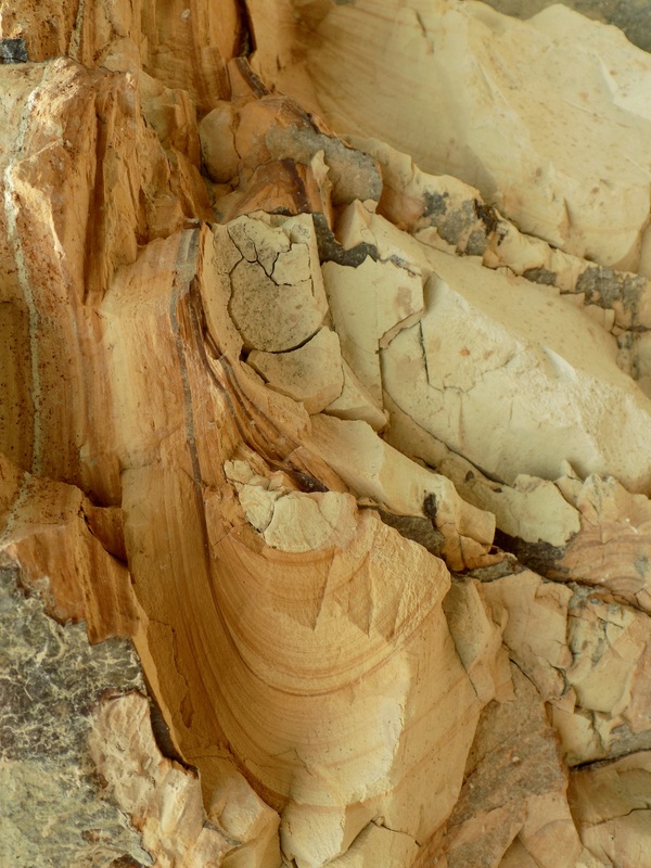
McArthur-Burney Falls Memorial State Park is in volcano country in California, in between Mount Shasta and Lassen National Park. The park features a stunning waterfall, which the parks service describes in the blurb below:
The park's centerpiece is the 129-foot Burney Falls, which is not the highest or largest waterfall in the state, but possibly the most beautiful. Additional water comes from springs, joining to create a mist-filled basin. Burney Creek originates from the park's underground springs and flows to Lake Britton, getting larger along the way to the majestic falls.

The park's landscape was created by volcanic activity as well as erosion from weather and streams. This volcanic region is surrounded by mountain peaks and is covered by black volcanic rock, or basalt. Created over a million years ago, the layered, porous basalt retains rainwater and snow melt, which forms a large underground reservoir.

Within the park, the water emerges as springs at and above Burney Falls, where it flows at 100 million gallons every day.

While my mom was painting the falls, I combined two loop trails, for a total of about 5.6 miles. See mom's painting and my trail descriptions after the jump!
Picture
Picture
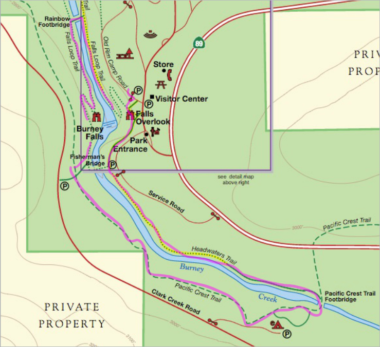
The painting featured here was painted by my mother, who embarked on this road trip with me. She painted Burney Falls from the Falls Overlook.

Headwaters Trail and Falls Loop

Picture
The upstream loop
Most people in the park just do the Falls Loop Trail, but I was up for something a little longer. Starting from the Falls Overlook, I headed to the left and found the trailhead for the Headwaters Trail. This trail was really cool because of the Swifts that were flying in impressive acrobatics over the still headwaters of Burney Creek, scooping up insects.

The Headwaters Trail merges with the famous Pacific Crest Trail (PCT) at the footbridge.
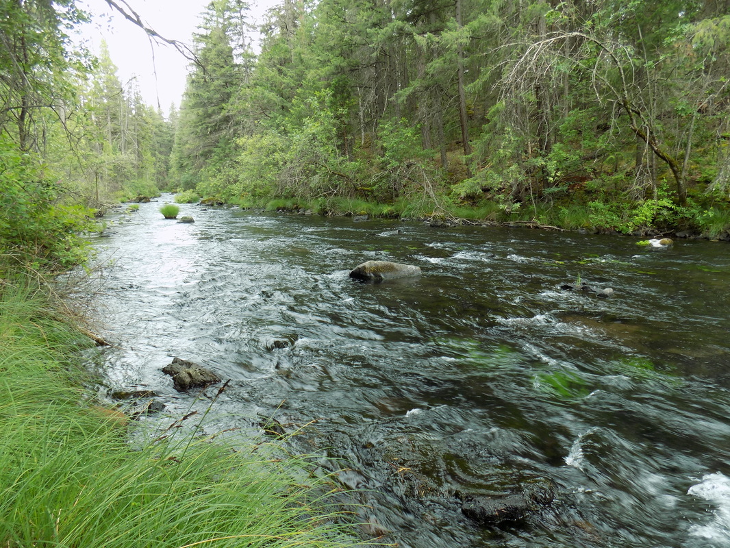
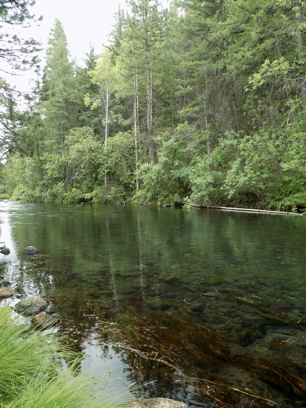
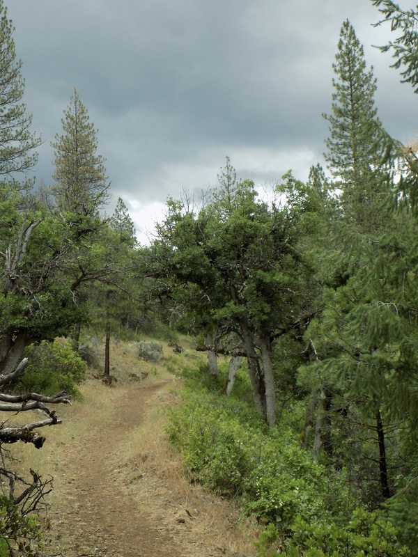
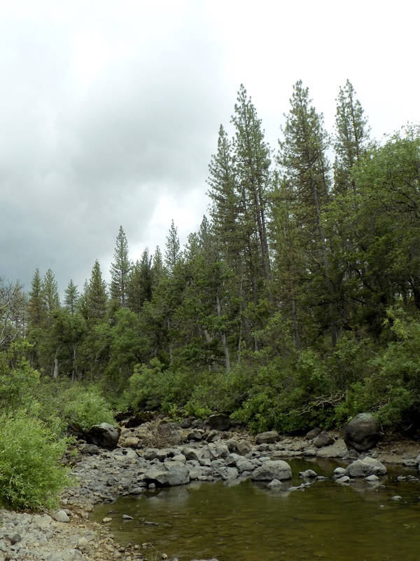
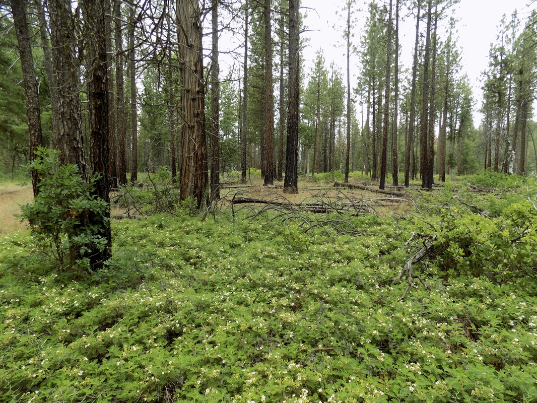
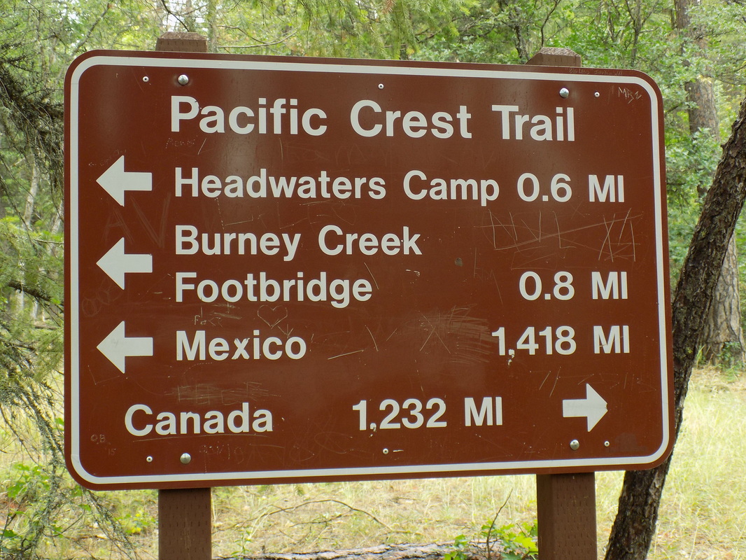
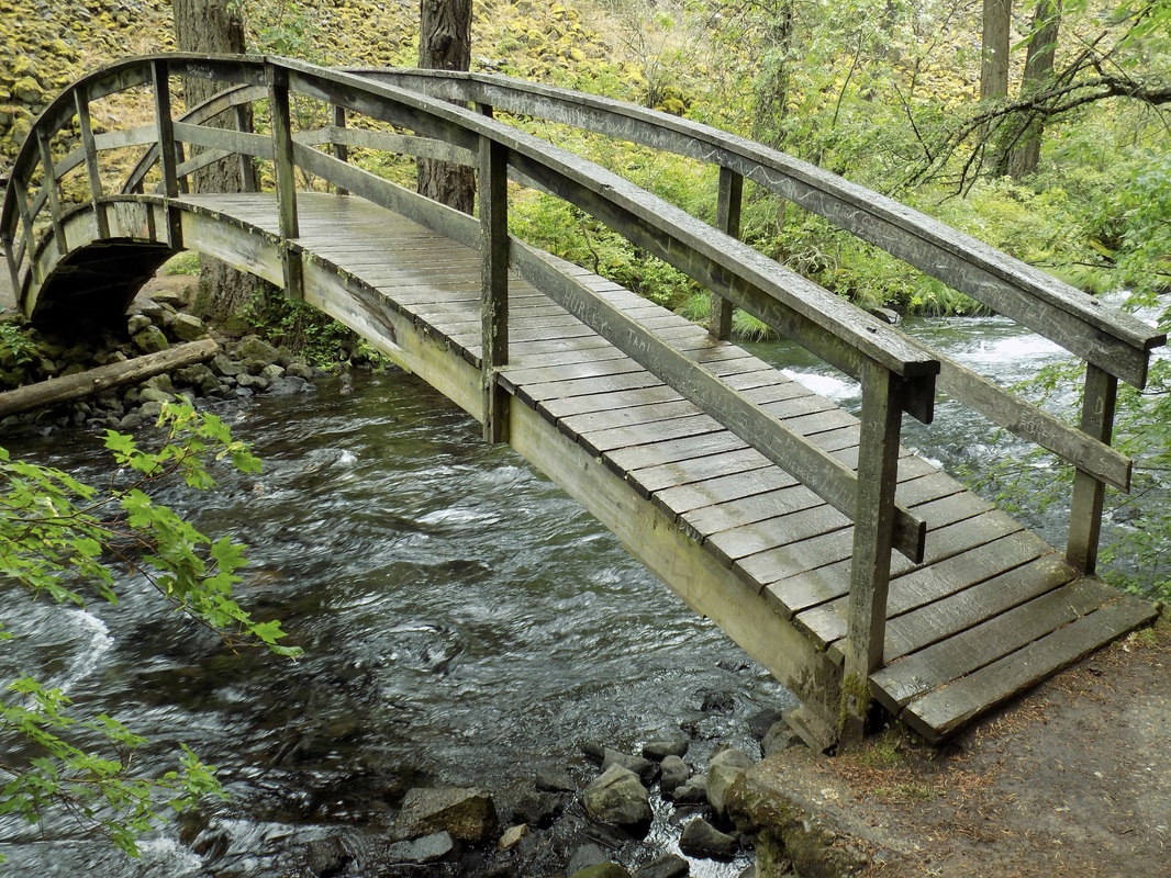
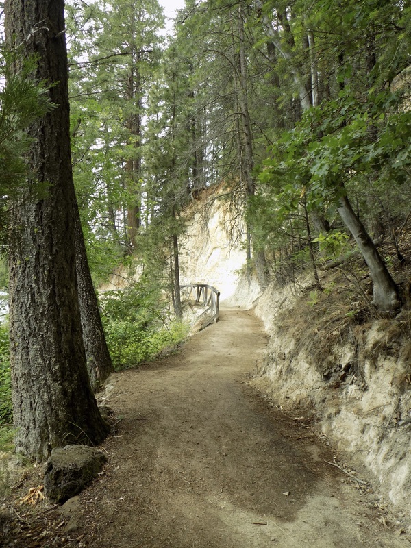
I was really excited to get to be on the PCT, however briefly, because it is just such a cool trail: all the way from Mexico to Canada! I followed it back towards the falls on the opposite side of Burney Creek from what I had already hiked. I passed a backpacking camp there, which seemed to also include support vehicles for people on the PCT.

At the next intersection I took a right to head back to the Falls Loop Trail. Rather than crossing the fisherman's bridge, I headed downhill to cross the Rainbow Bridge. I did follow the Falls Loop Trail towards the lower observation area. This offered a different vantage point than the Overview where my mom was painting. Rather than head back to the parking lot, I retraced my steps north to start a second loop, as I will detail below.

This loop was pretty easy, although there was some elevation change.

Burney Creek and Rim Trail Loop

Picture
The downstream loop
I headed back downstream from the falls, retracing my steps just a little. When the  the other hikers crossed the Rainbow Bridge, I stayed straight on Burney Creek Trail heading north to Lake Britton

The vast majority of hikers only do the Falls Loop Trail. I did see a few other hikers on the upstream loop, but I was the only hiker on the downstream loop. It was really nice!

There is a beautiful forest of ponderosa pine and prominent outcroppings of a white rock called diatomite, which is composed of silica skeletons of ancient microscopic algae.
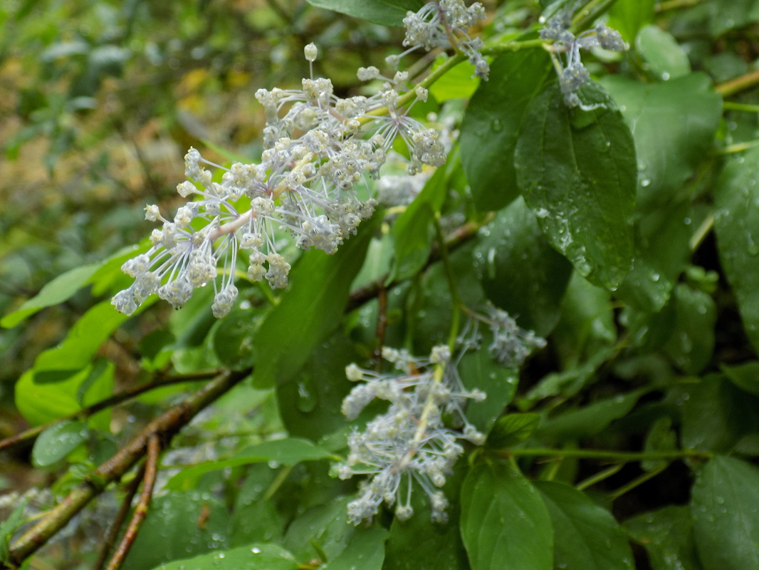
While I was heading back to the day use area via the Rim Trail, I saw an osprey nest. (It started raining around that time, so I did not get a photo.) Apparently this park usually gets bald eagles in the winter!

This park gets a lot of use because the waterfalls are pretty well known. It was relatively crowded, even on a rainy day. It's easy to see why the park is so popular!
0 Comments


Leave a Reply.

    Archives

    December 2020
    November 2020
    October 2020
    September 2020
    August 2020
    July 2020
    June 2020
    May 2020
    April 2020
    March 2020
    February 2020
    January 2020
    December 2019
    November 2019
    October 2019
    September 2019
    August 2019
    July 2019
    June 2019
    May 2019
    April 2019
    March 2019
    February 2019
    January 2019
    December 2018
    November 2018
    October 2018
    September 2018
    August 2018
    July 2018
    June 2018
    May 2018
    April 2018
    March 2018
    February 2018
    January 2018
    November 2017
    October 2017
    September 2017
    August 2017
    April 2017
    March 2017
    February 2017
    January 2017
    November 2016
    October 2016
    September 2016
    August 2016
    July 2016
    June 2016
    May 2016
    April 2016
    March 2016
    February 2016
    January 2016
    December 2015
    November 2015
    October 2015
    September 2015

    Categories

    All
    Art Expedition
    Bay Laurel Trees
    Bayside
    Beaches
    Berkeley City Parks
    Bureau Of Reclamation
    Camping
    Cliffs
    Coastside
    Contra Costa Water District
    Creeks
    Deserts
    East Bay Municipal Utility District
    East Bay Regional Park District
    EBRPD Trails Challenge
    Eucalyptus
    Flat Hikes
    Gulf Coast Family Vacation
    Historical Sites
    Kid Friendly
    Lakes
    LARPD
    Length: 10 To 15 Miles
    Length: 15+ Miles
    Length: 1 To 5 Miles
    Length: 5 To 10 Miles
    Madrones
    Manzanita
    Maples
    Marin County Parks
    Midpeninsula Regional Open Space Preserves
    Mountains
    Museums
    National Forest Service
    National Parks
    National Wildlife Refuge
    Oakland City Parks
    Oaks
    Palo Alto & Atherton Parks
    Peninsula Open Space Trust
    Pleasanton City Parks
    Portola Valley Town Trails
    Redwoods
    Rocks
    San Francisco City Parks
    San Mateo County Parks
    Santa Clara County Parks
    Santa Cruz City Parks
    Sierras
    Stanford
    State Parks
    Swimming Holes
    Sycamores
    Trains
    Tri-Valley
    UC Berkeley
    UC Davis
    Walnut Creek Parks
    Wetlands
    Wildflowers
    Wildlife
    Zoos Farms & Wildlife Preserves

    RSS Feed

Powered by Create your own unique website with customizable templates.
  • Home
  • About
  • Regions
  • Parks
  • Trails
  • Photography