Lonely Hiker
  • Home
  • About
  • Regions
  • Parks
  • Trails
  • Photography

Trails

Morgan Territory

4/9/2019

0 Comments

 
Picture
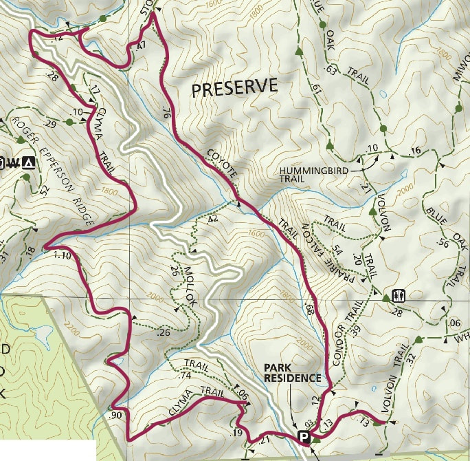
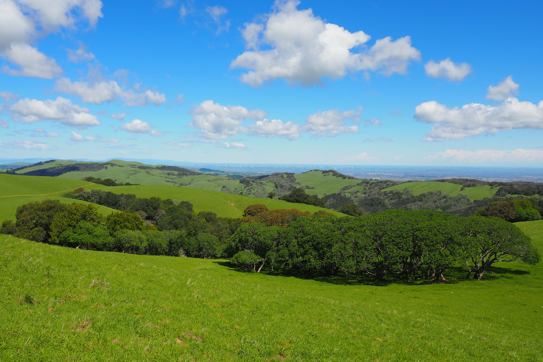
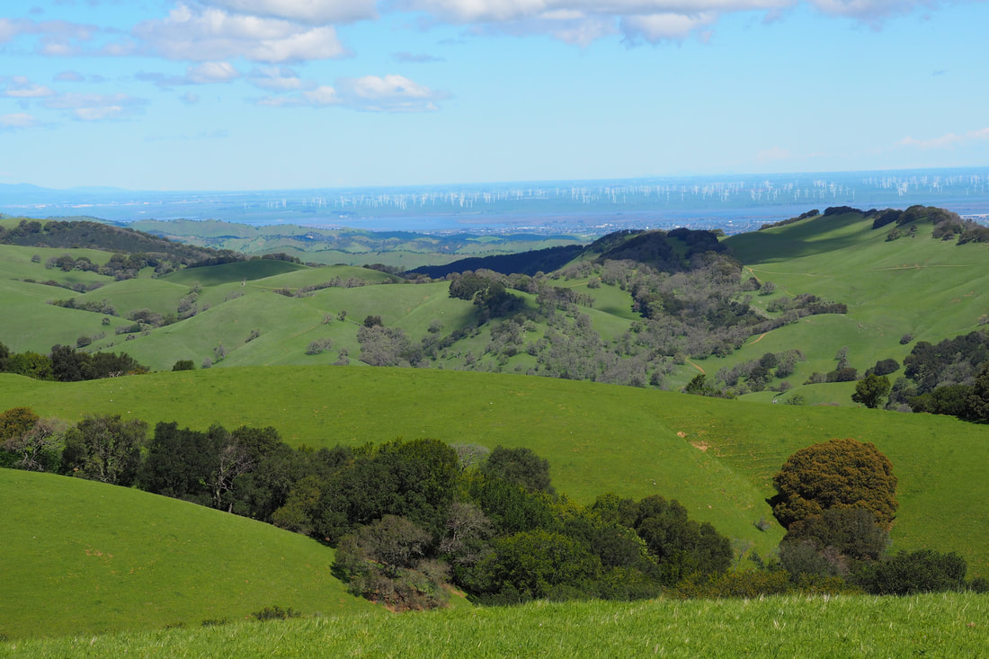
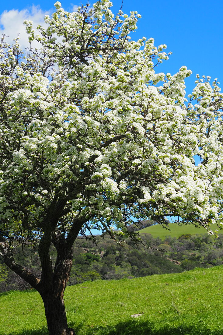
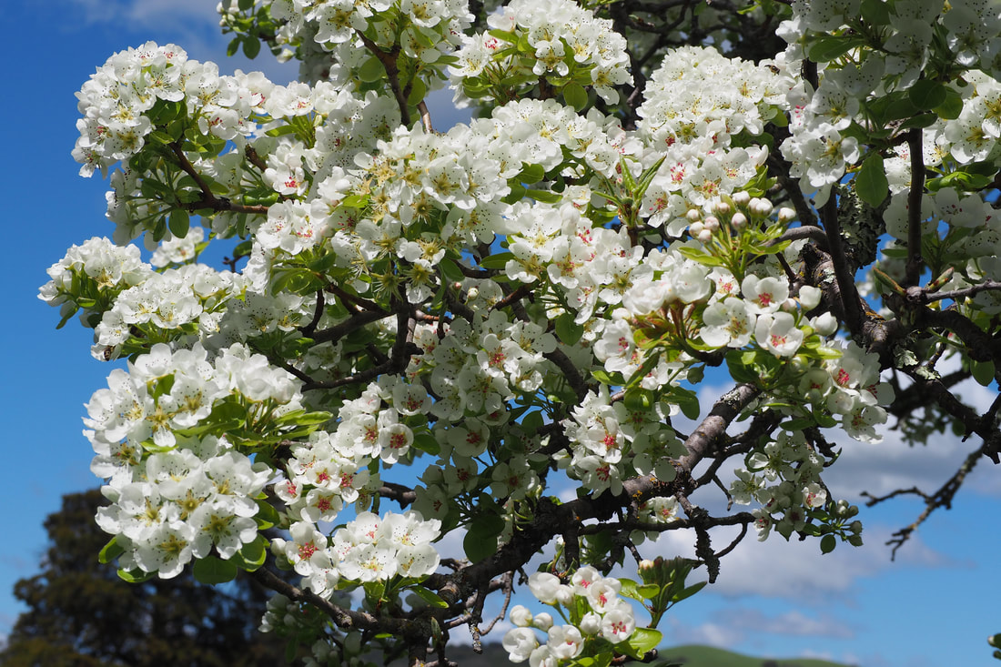
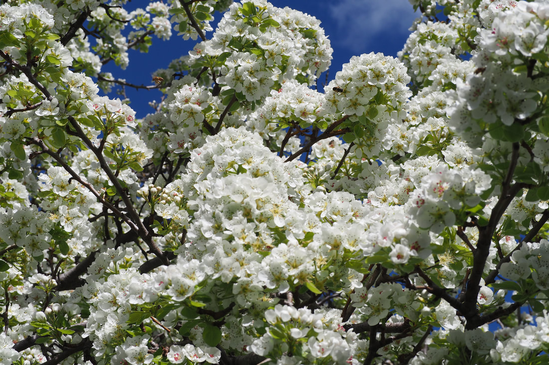
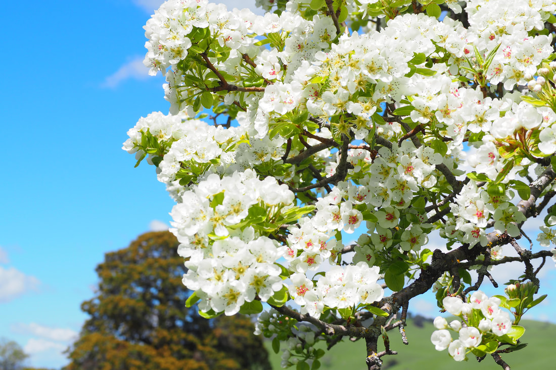
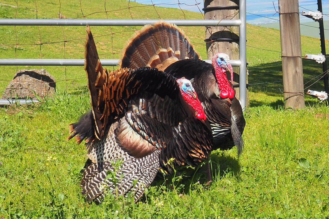
To celebrate my birthday, I decided to do a 5.5-mile hike in gorgeous Morgan Territory. It was an absolutely perfect day, and I had a blast on this trail. To see LOTS more photos and to read the details of my hike click "read more."
Picture
Picture
Picture
Picture
Detail of the Morgan Territory map
My original plan was to do this hike, a featured hike of the 2019 EBRPD Trail Challenge; however, I adapted my plan a little when I saw the gorgeous sandstone outcropping from the Clyma Trail and wanted to get closer to it so that I could see it more clearly up close--from looking at the map, I was worried that I would be hiking above the cliffs and wouldn't be able to see them. 

From the parking lot at the staging area, I crossed Morgan Territory Road and took the Clyma Trail. From this trail, there were gorgeous views of Mount Diablo to the northwest and of the impressive sandstone ridge to the east.
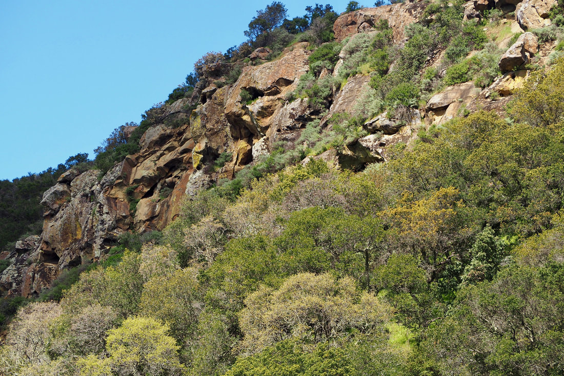
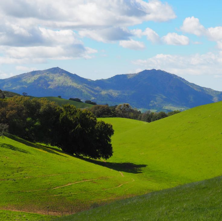
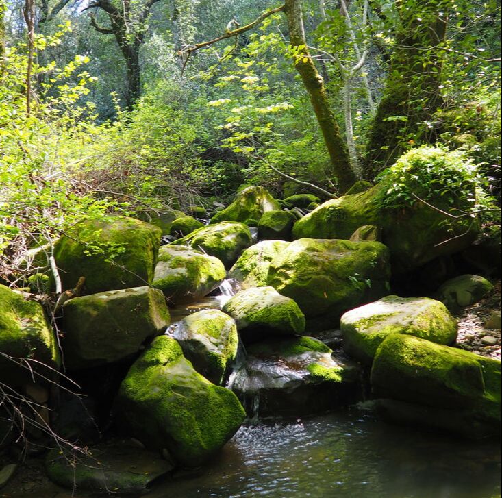
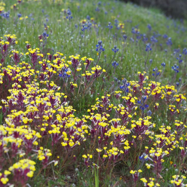
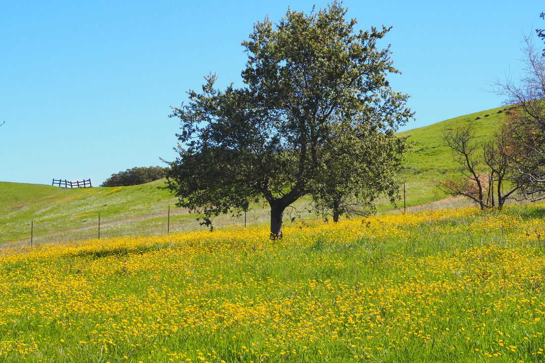
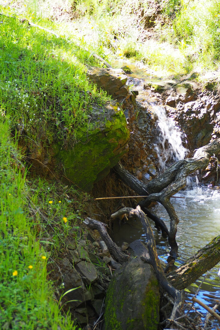
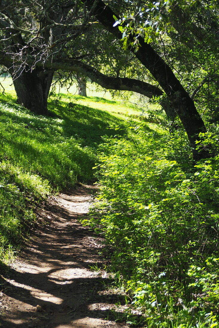
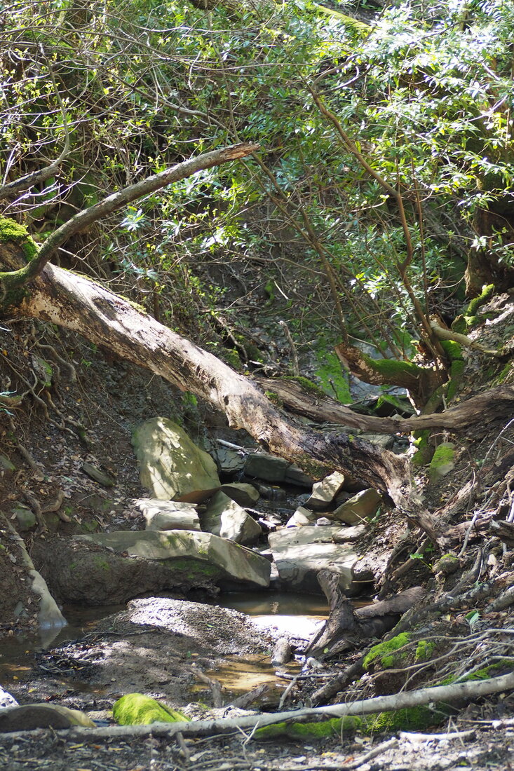
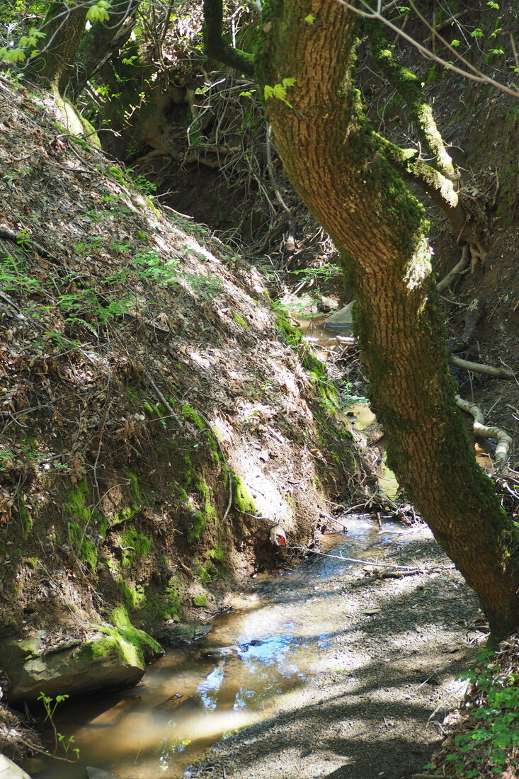
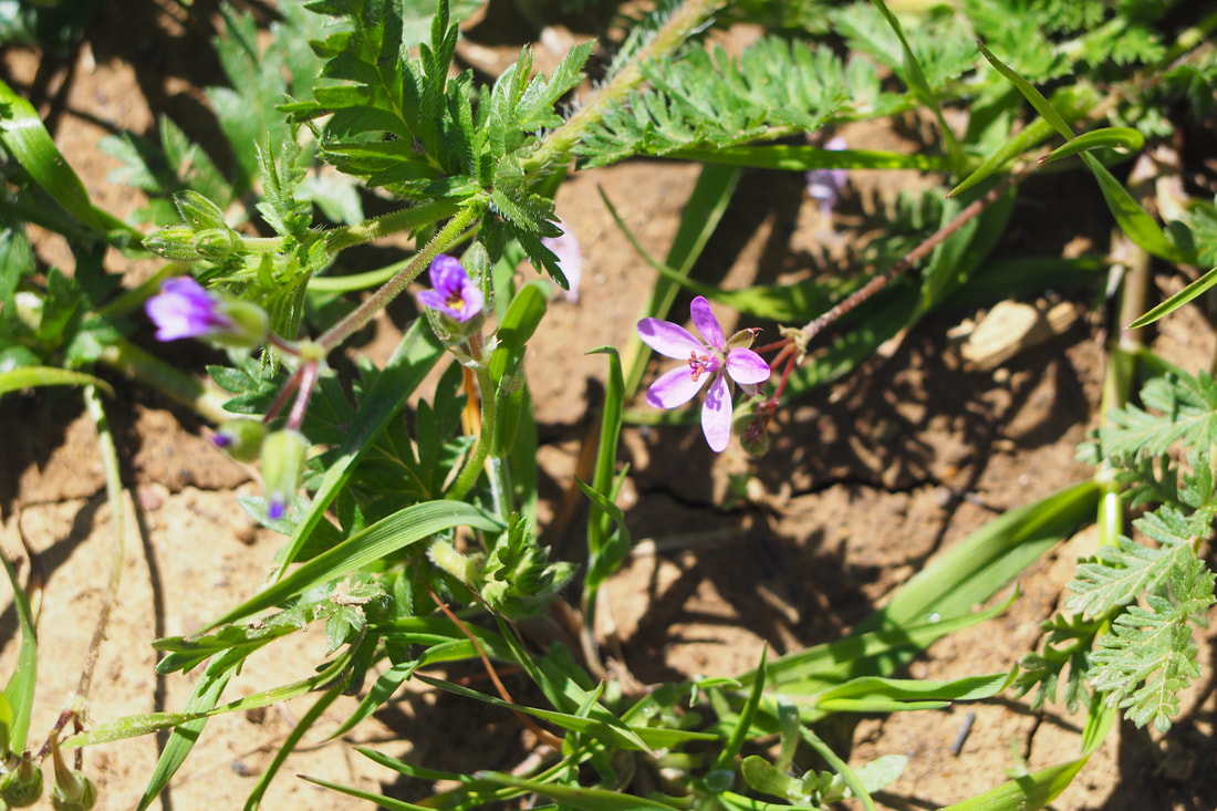
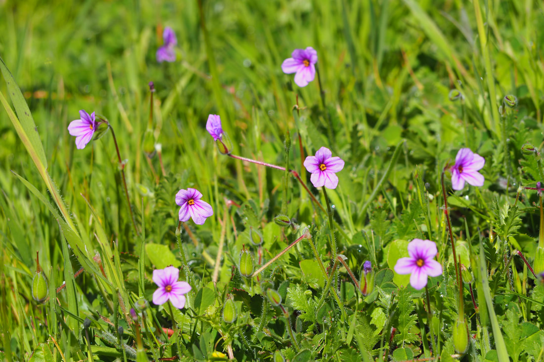
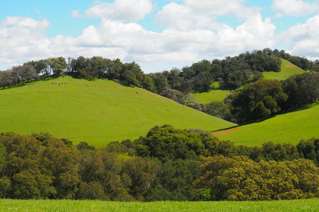
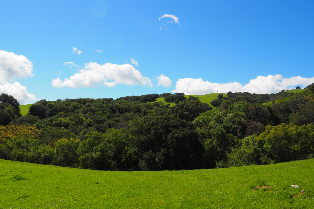
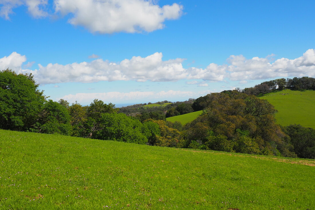
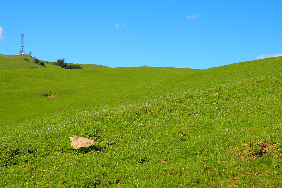
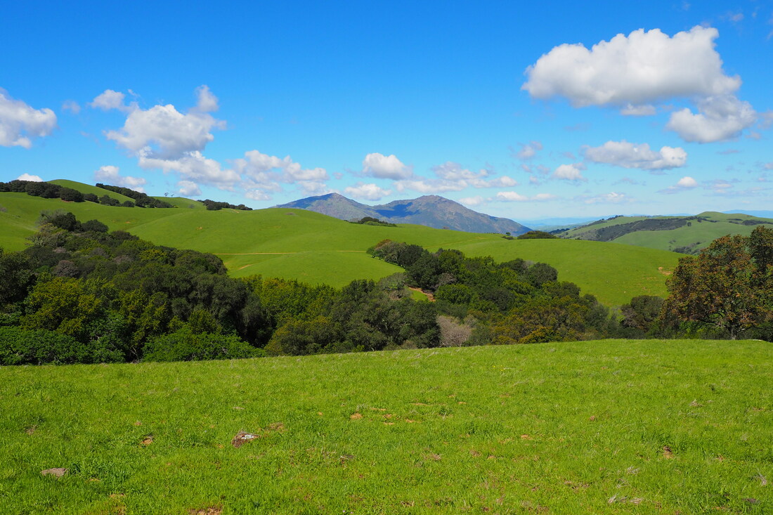
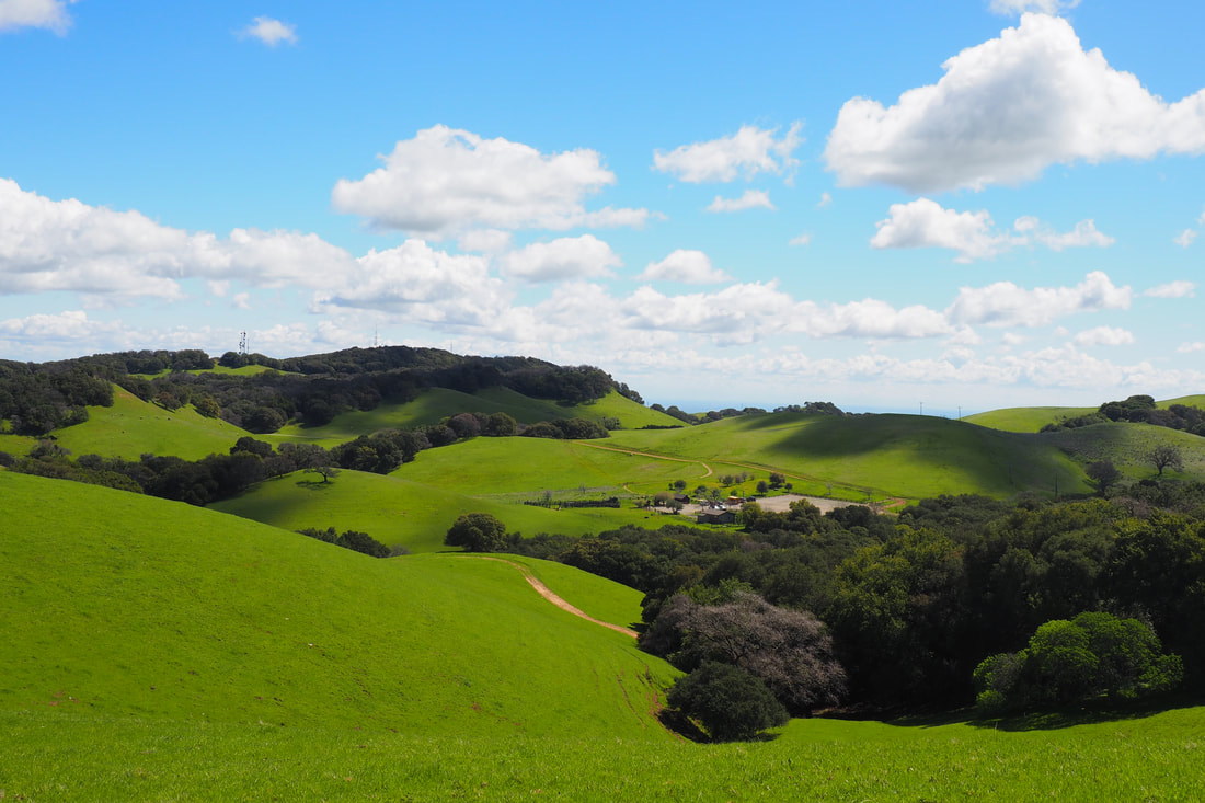
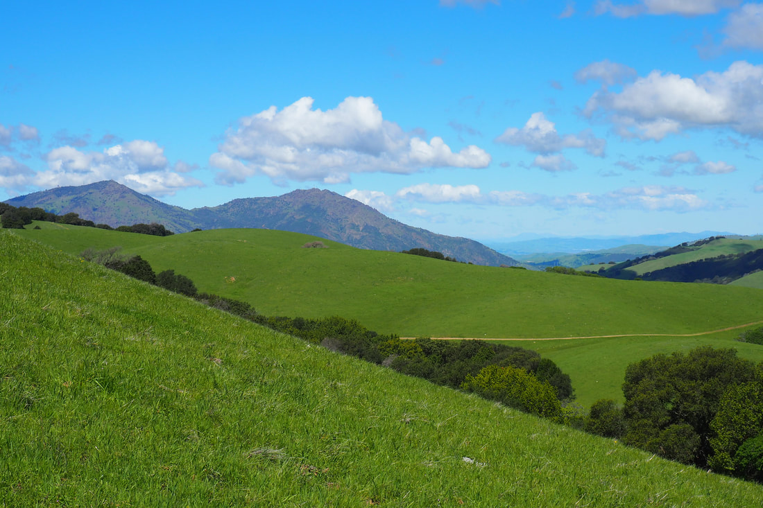
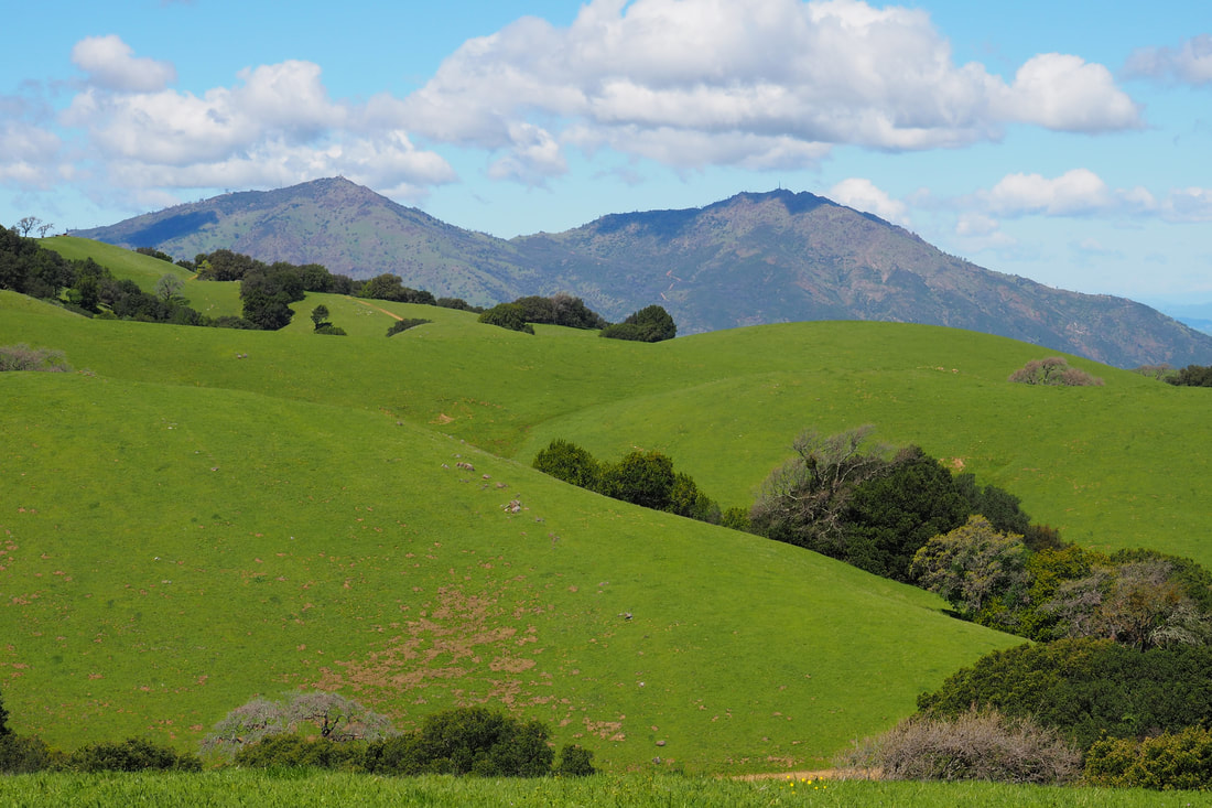
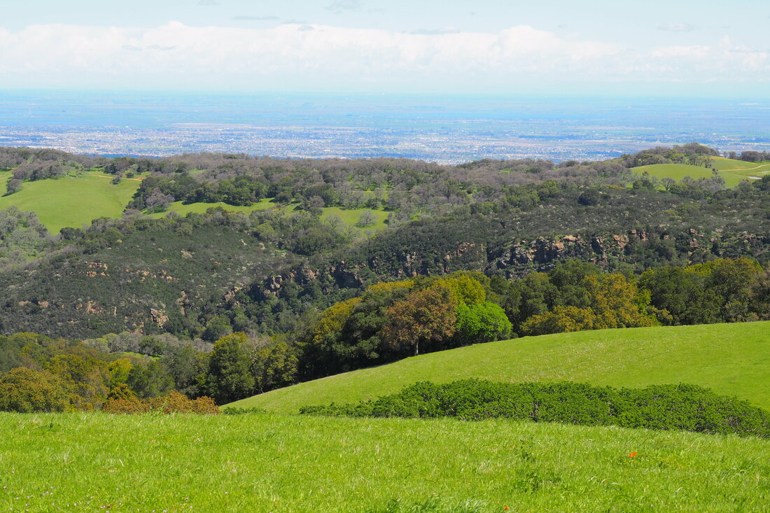
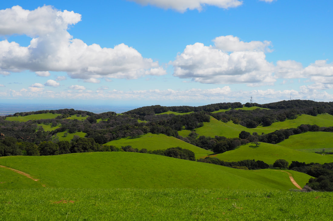
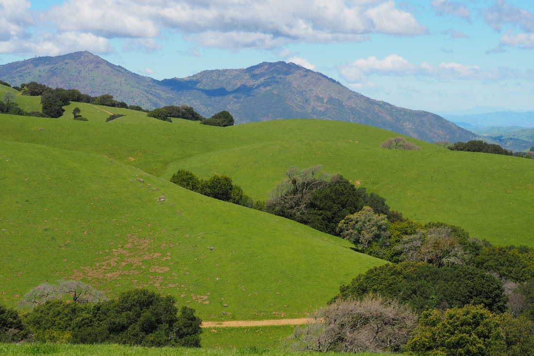
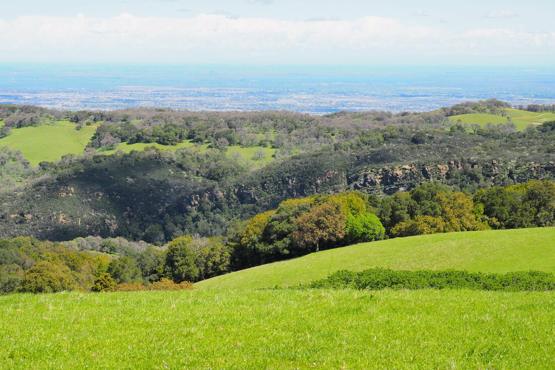
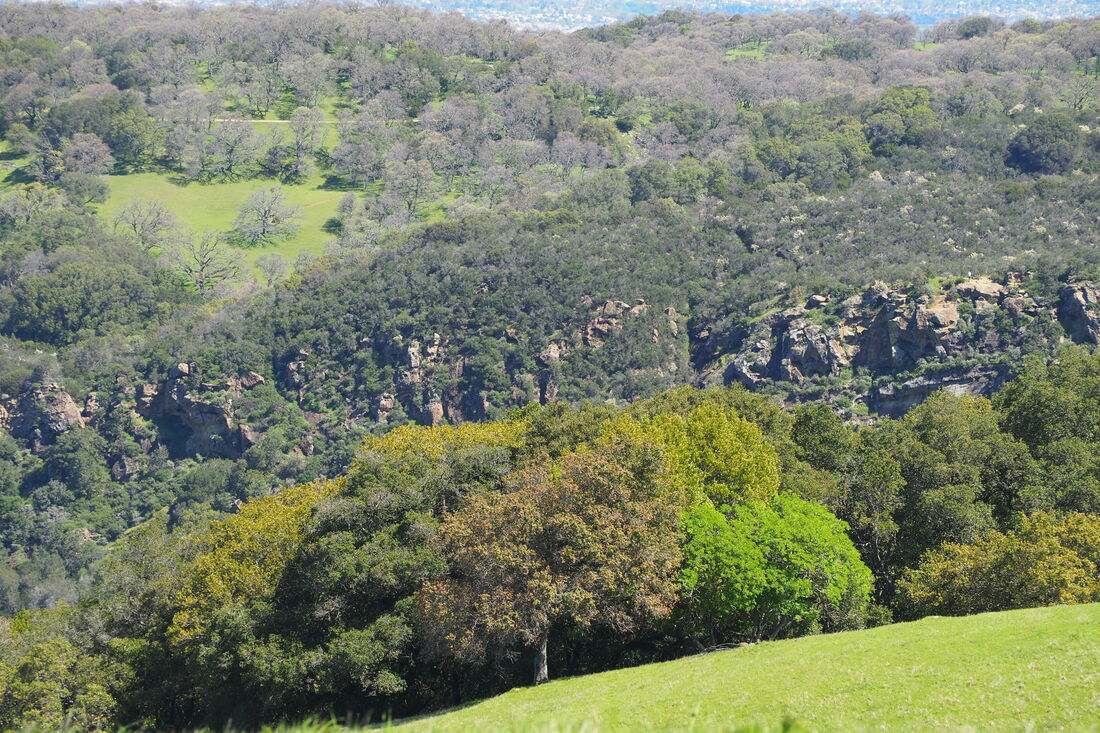
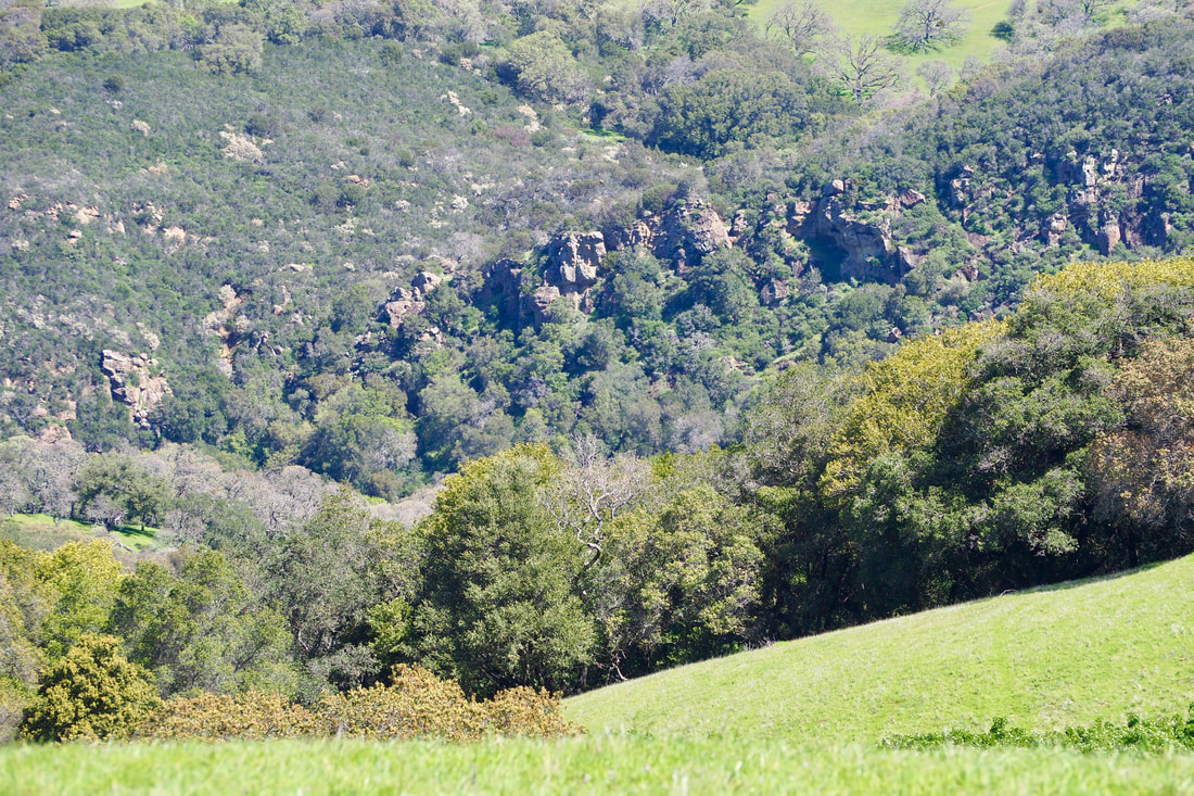
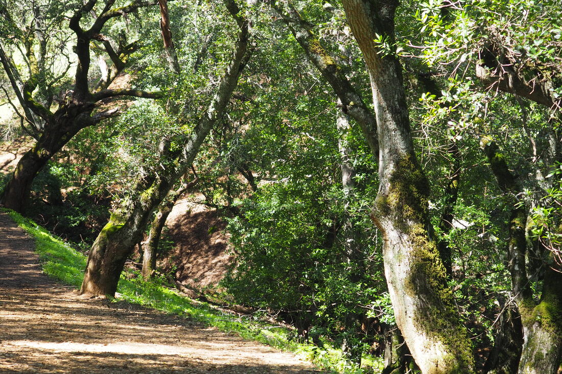
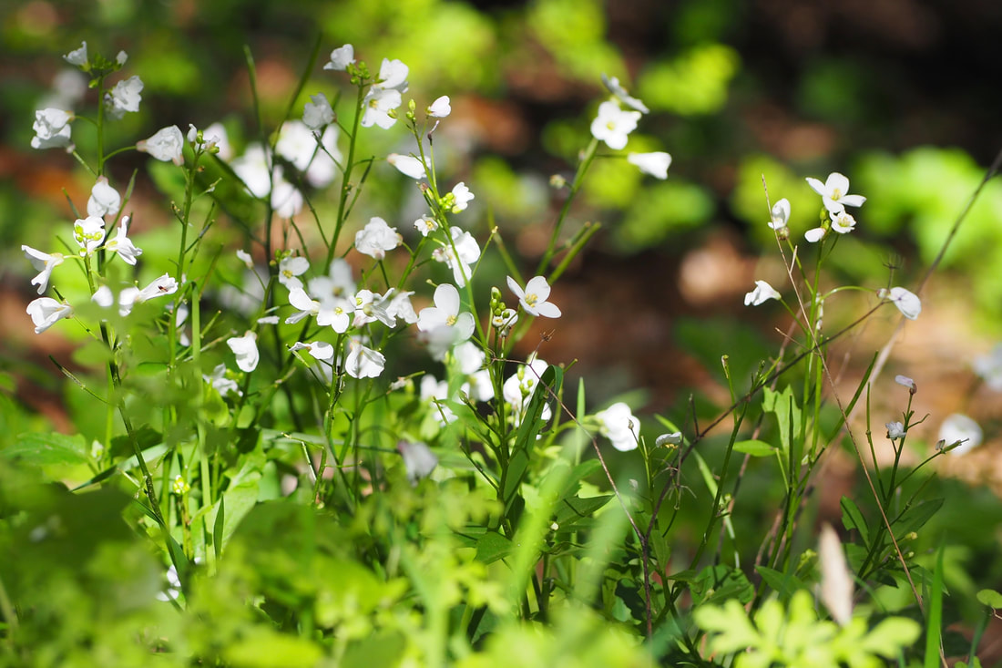
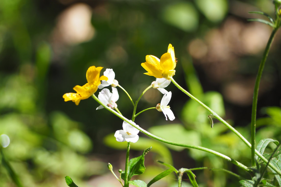
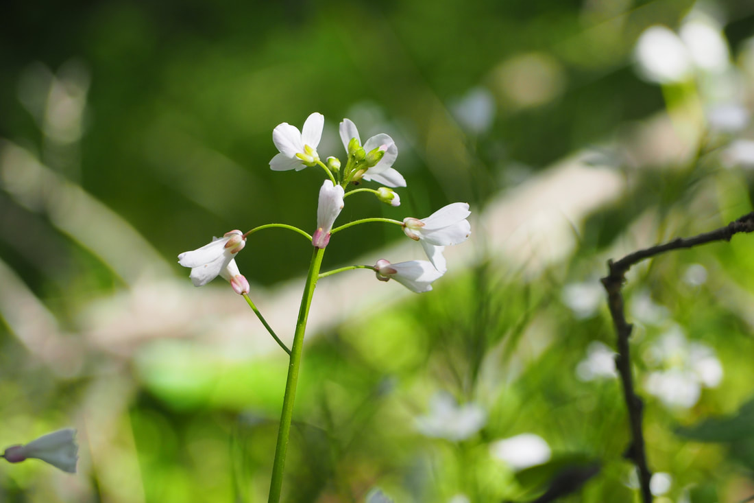
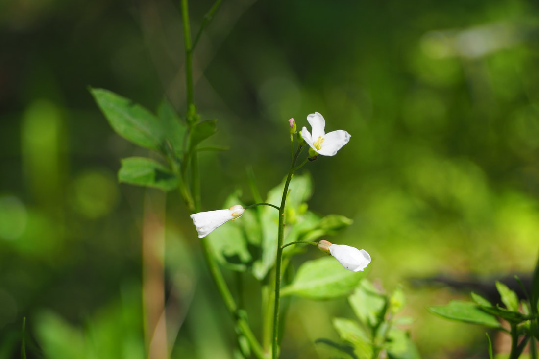
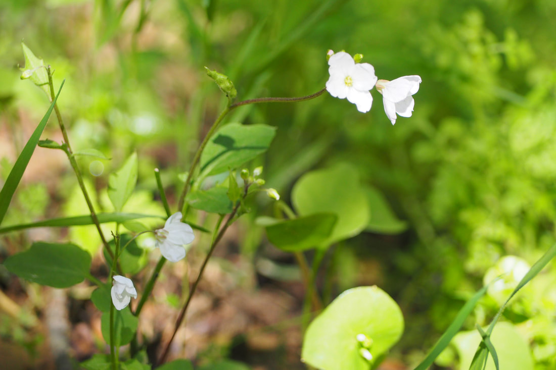
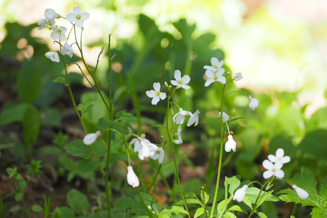
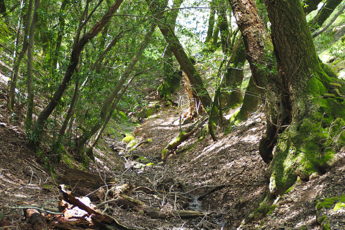
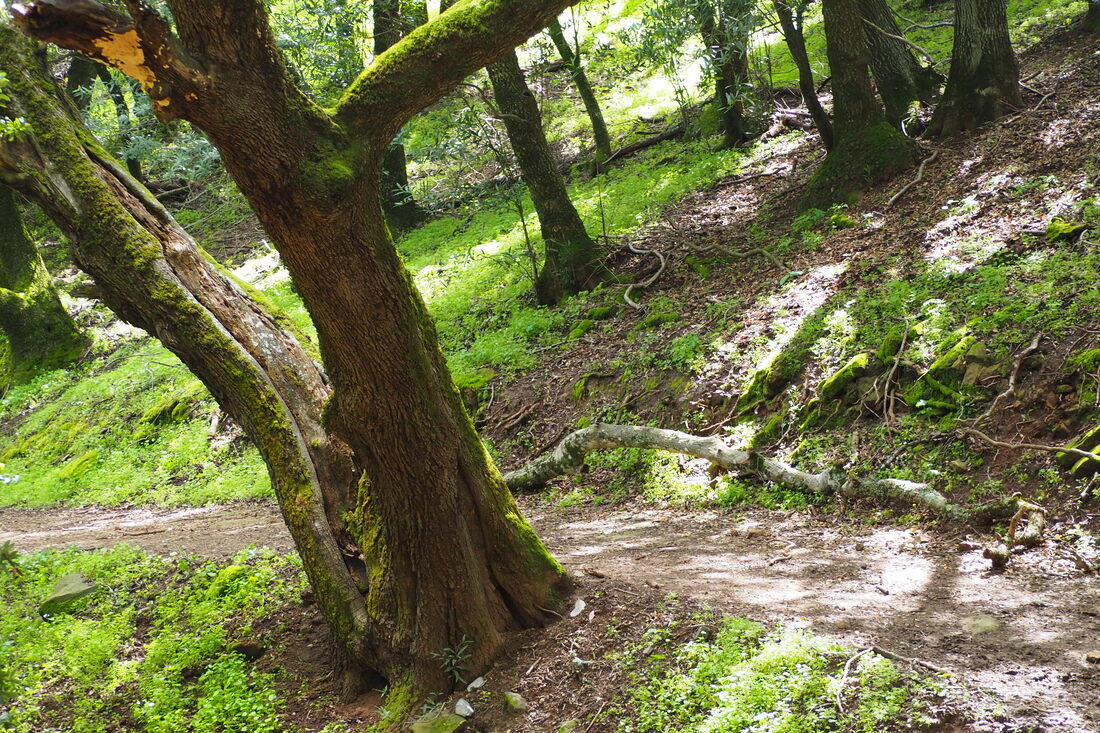
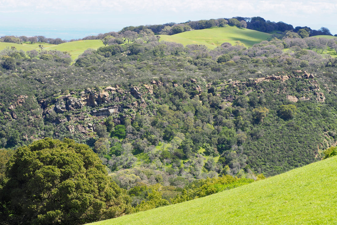
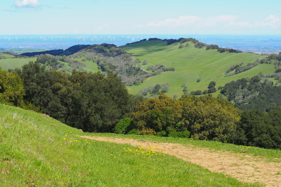
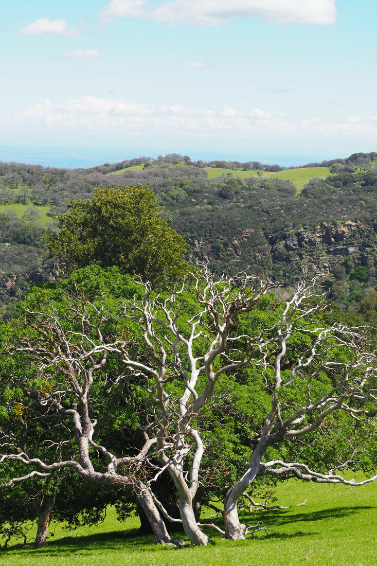
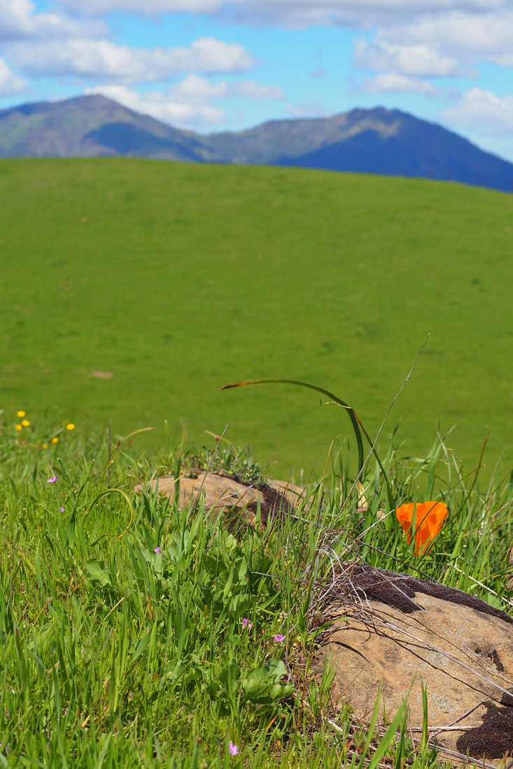
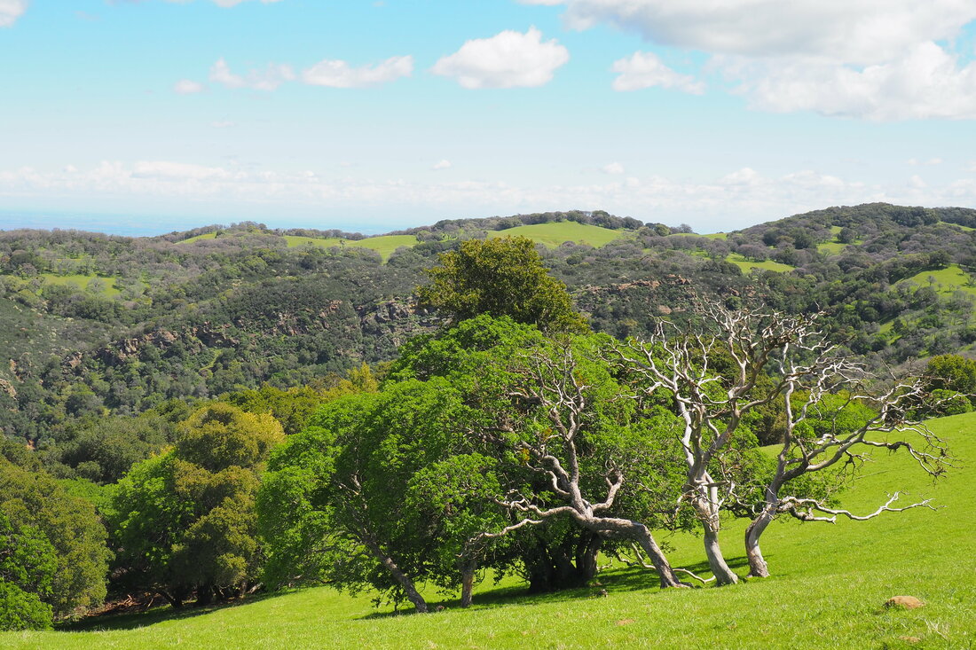
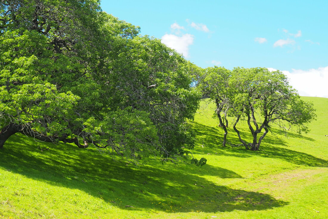
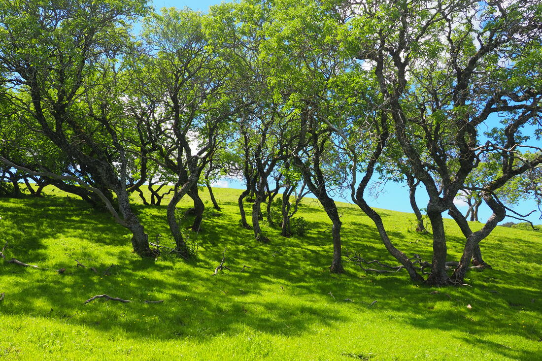
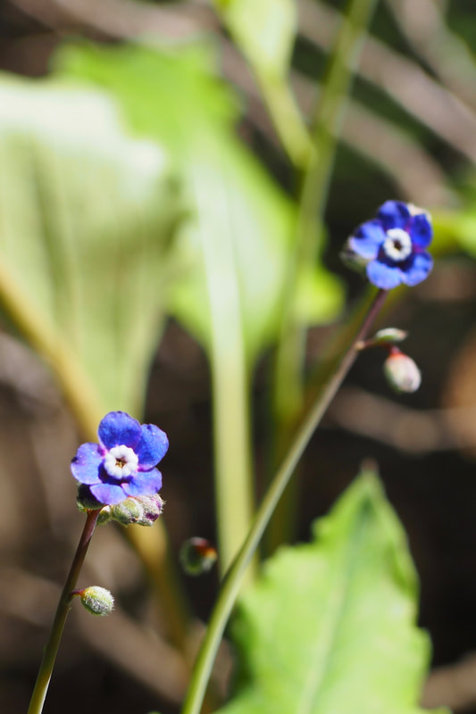
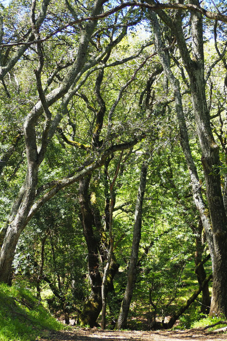
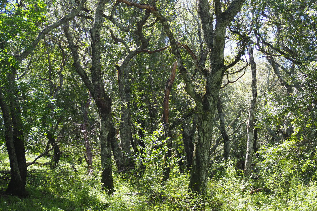
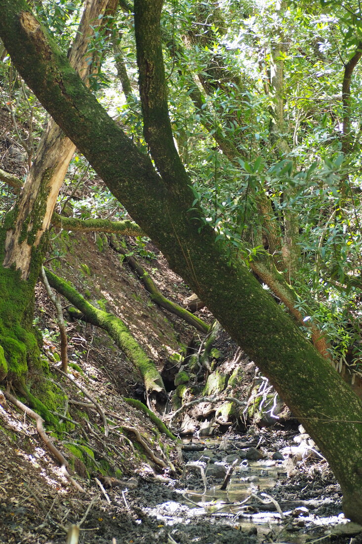
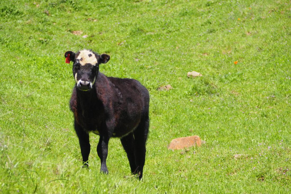
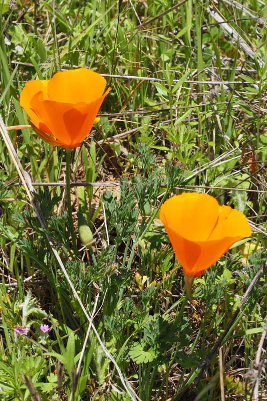
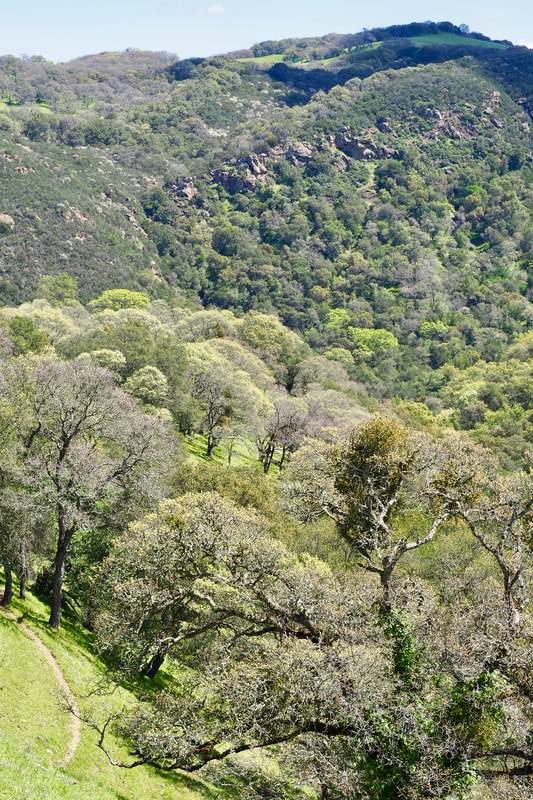
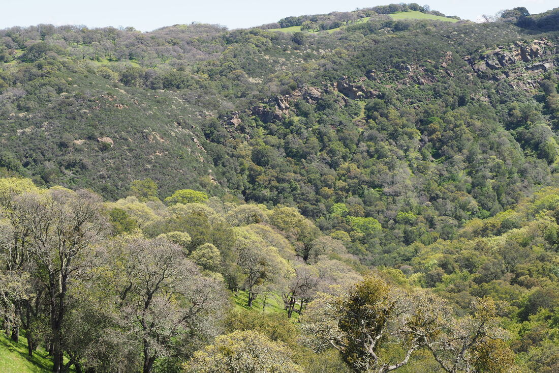
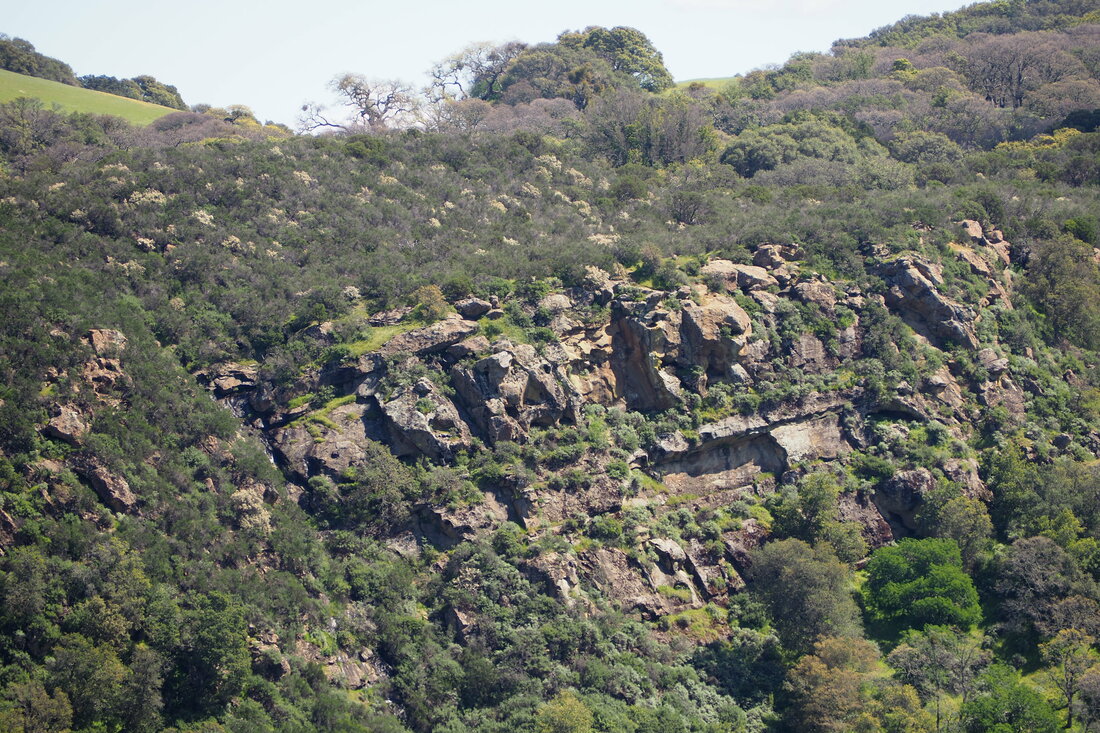
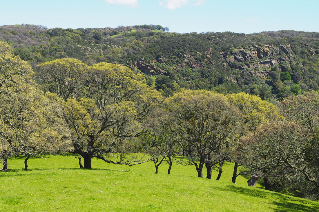
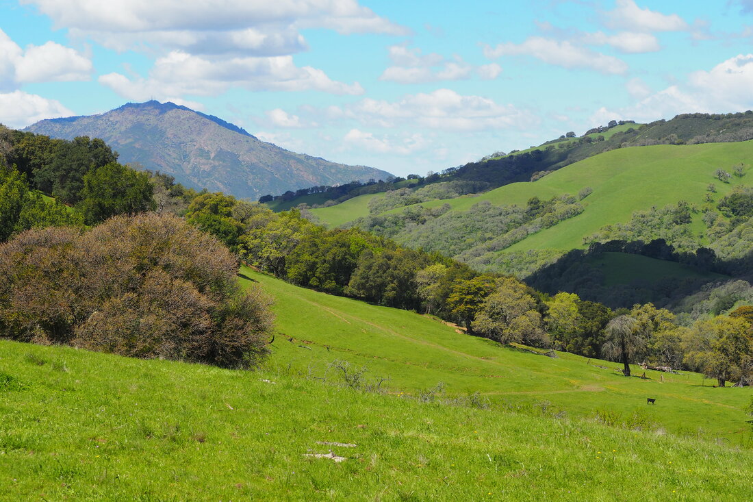
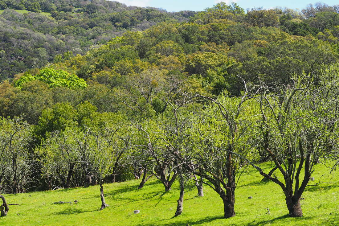
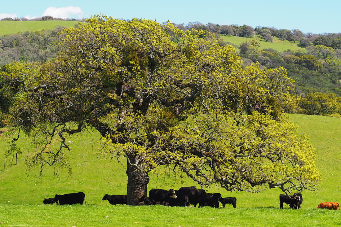
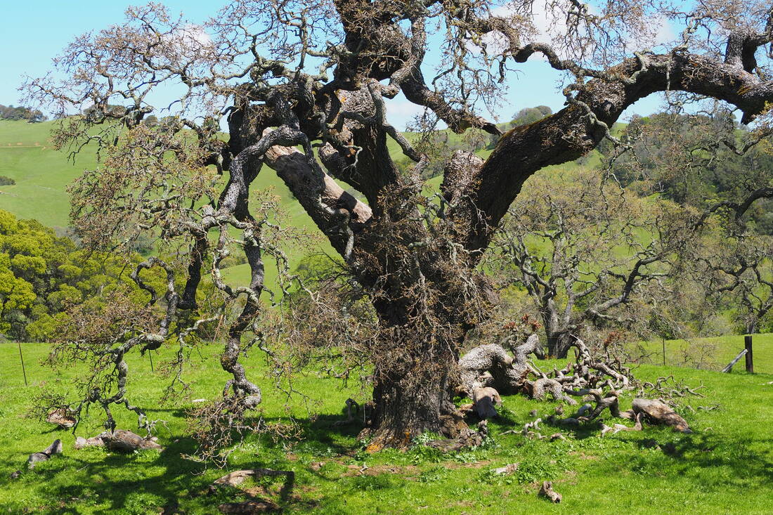
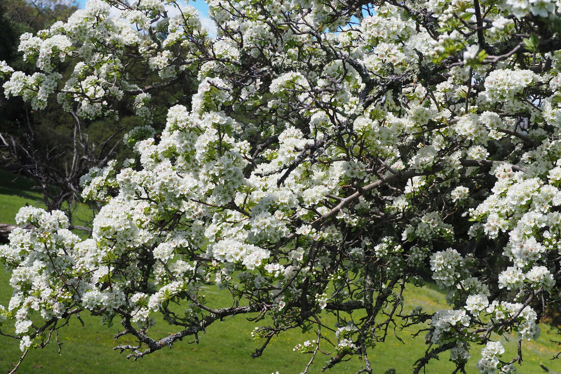
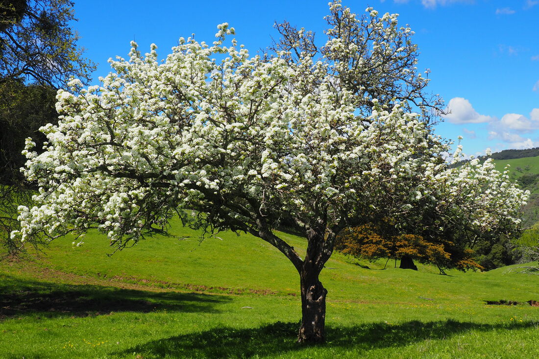
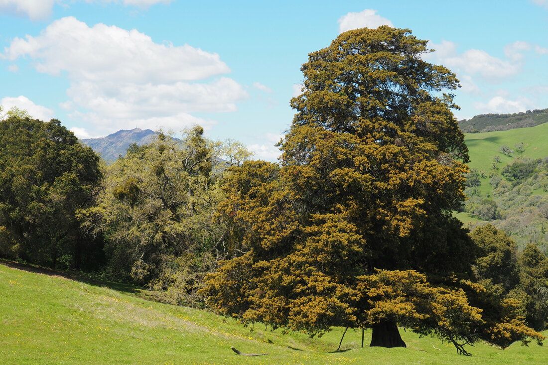
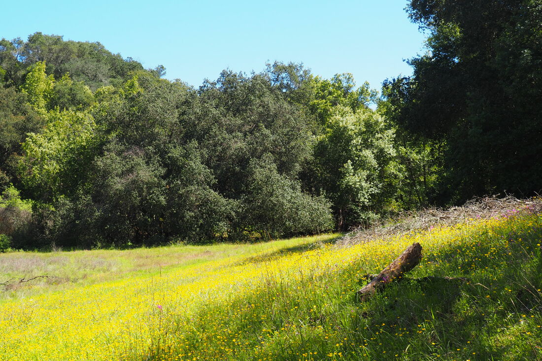
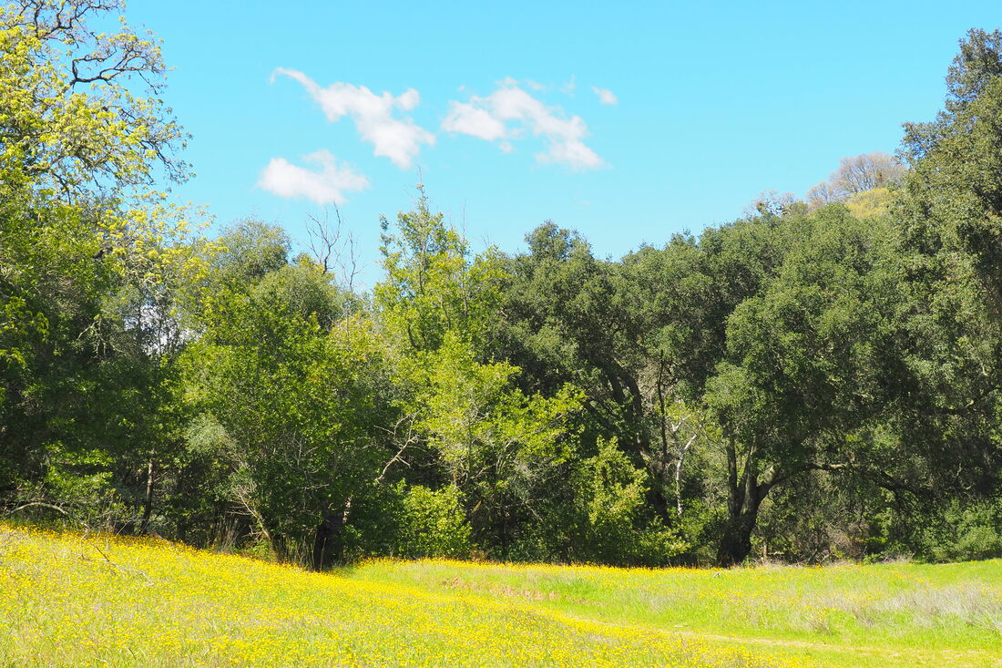
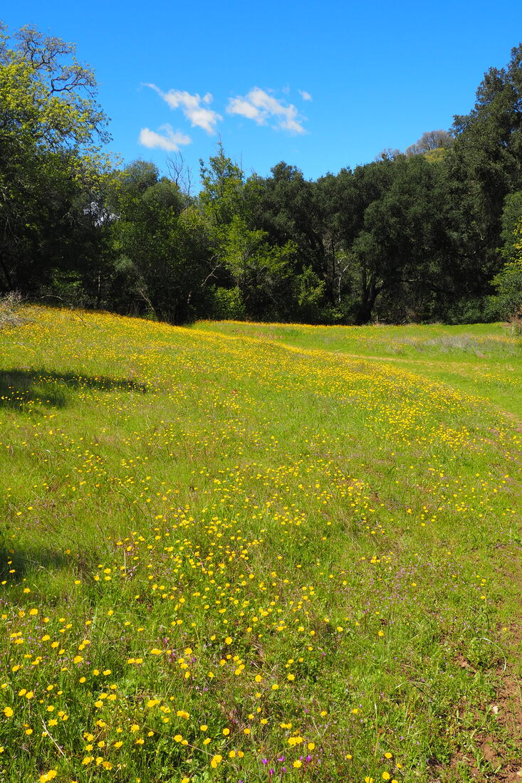
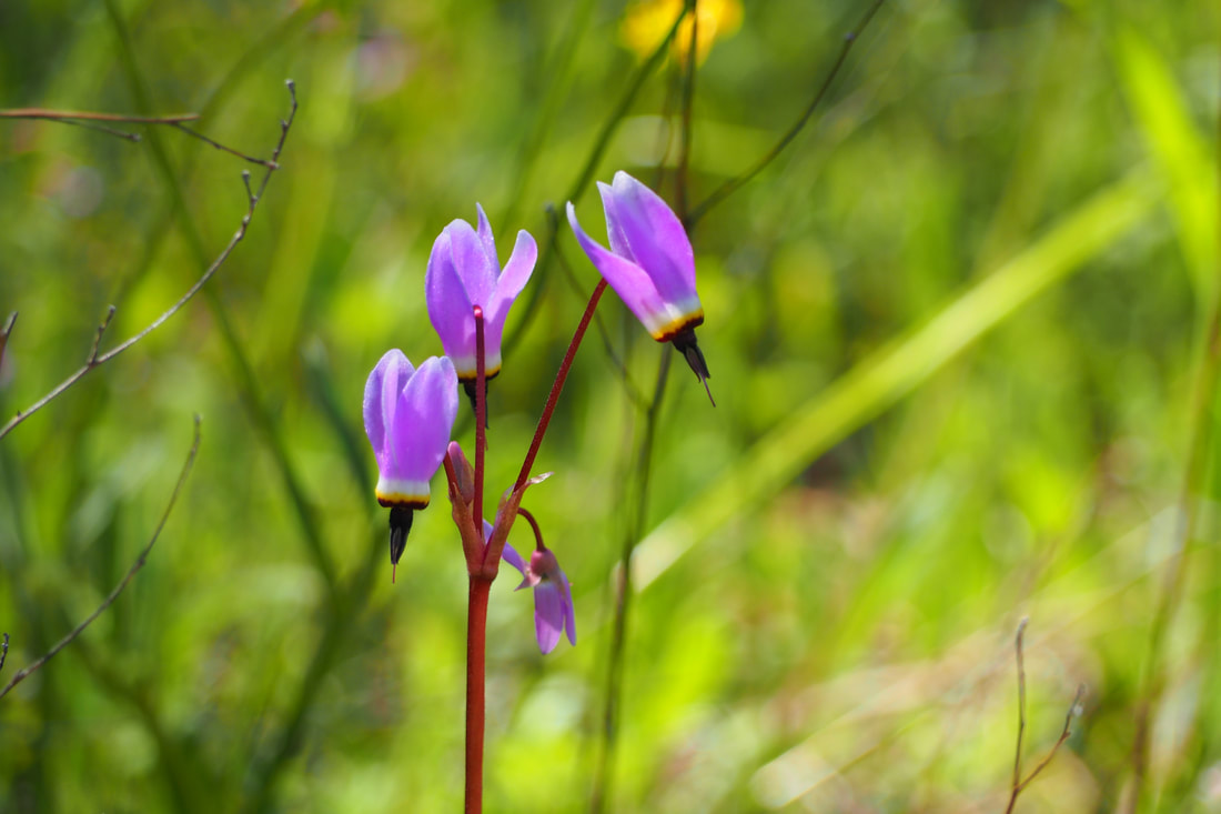
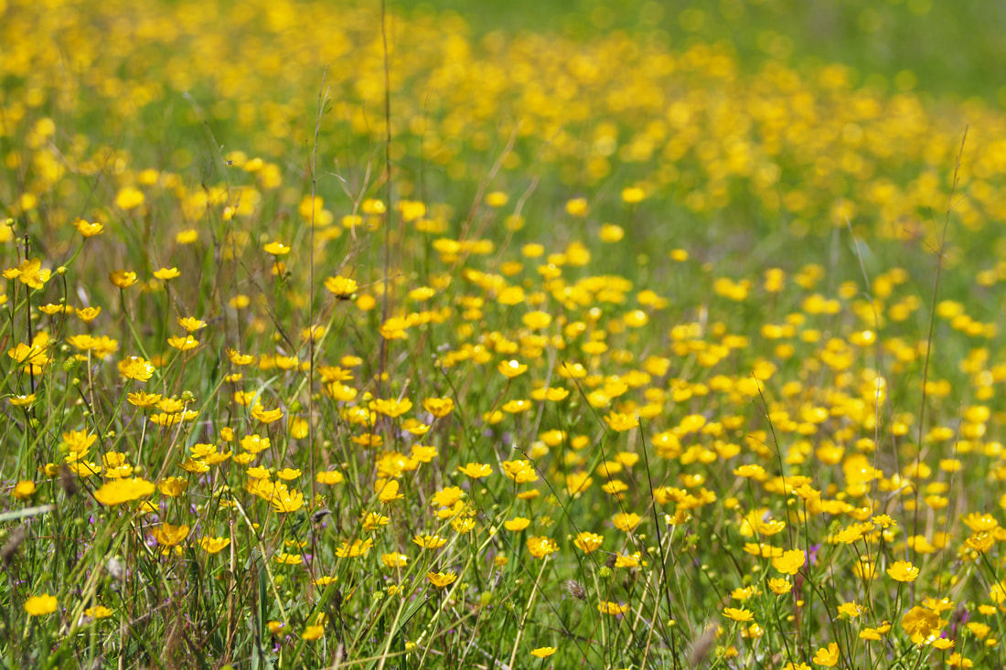
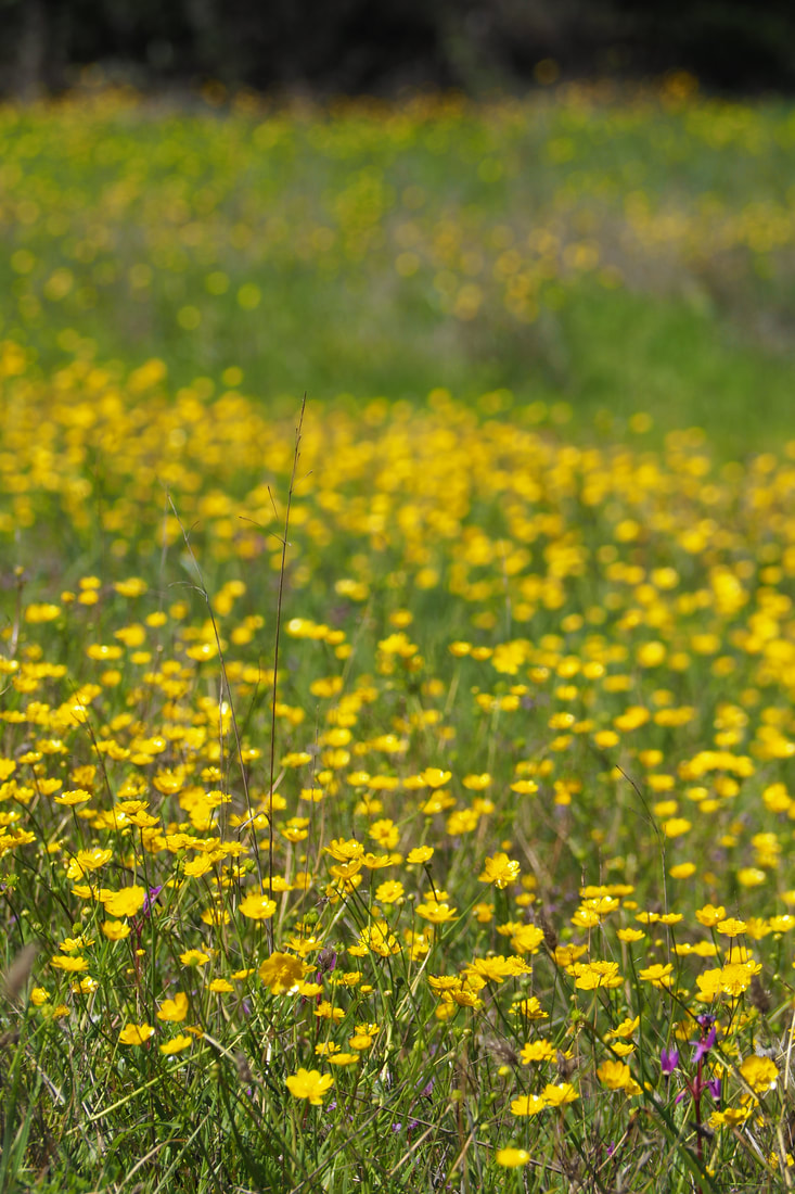
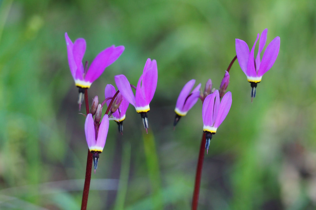
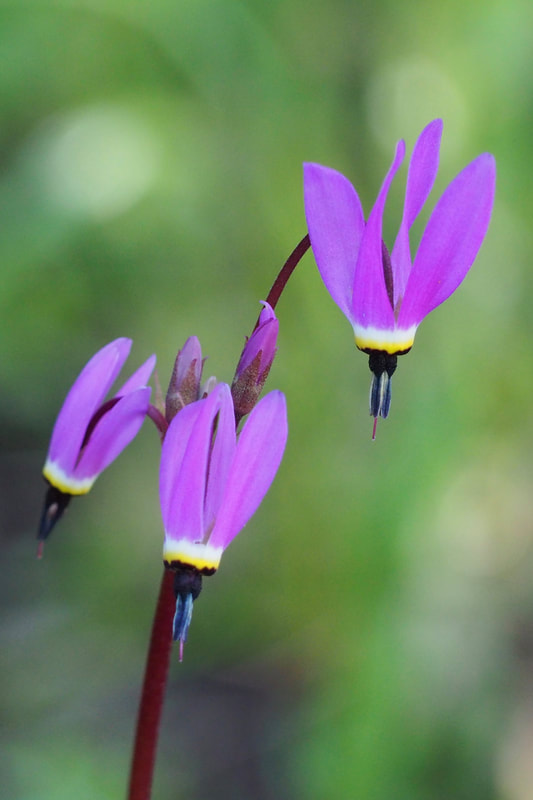
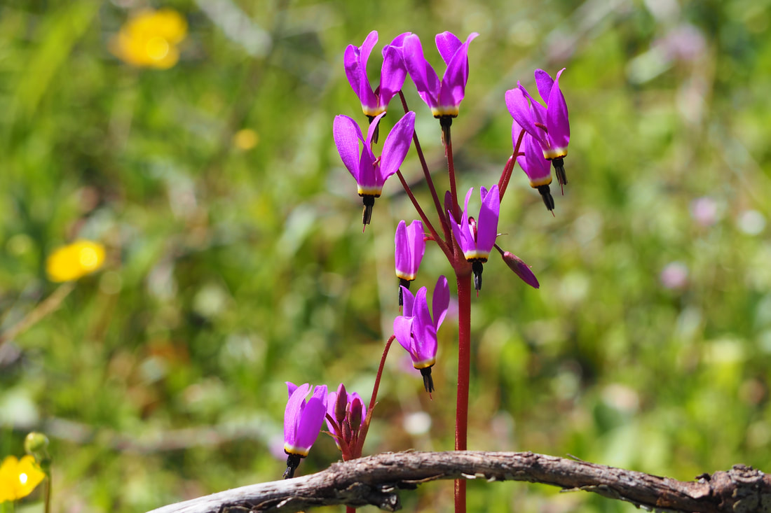
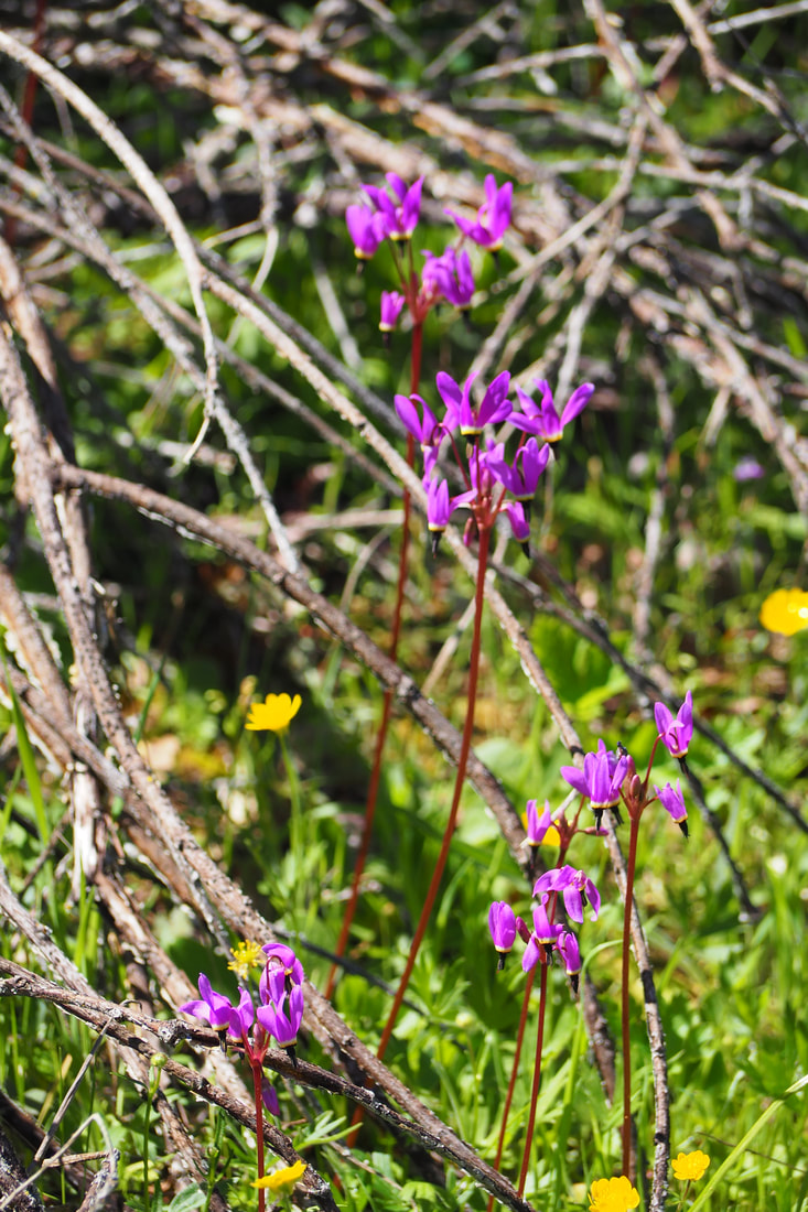
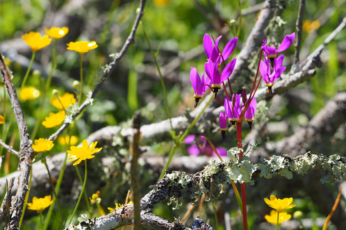
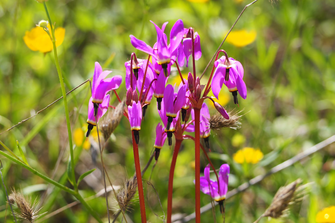
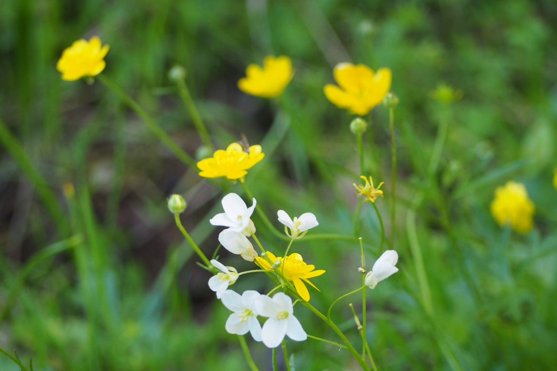
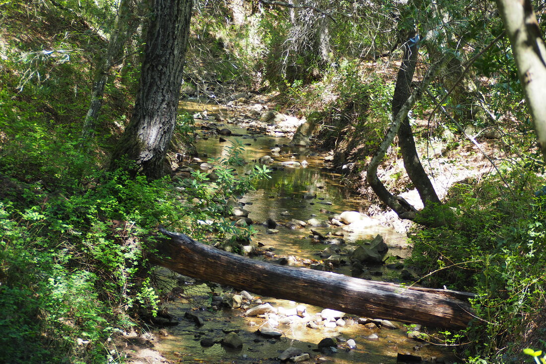
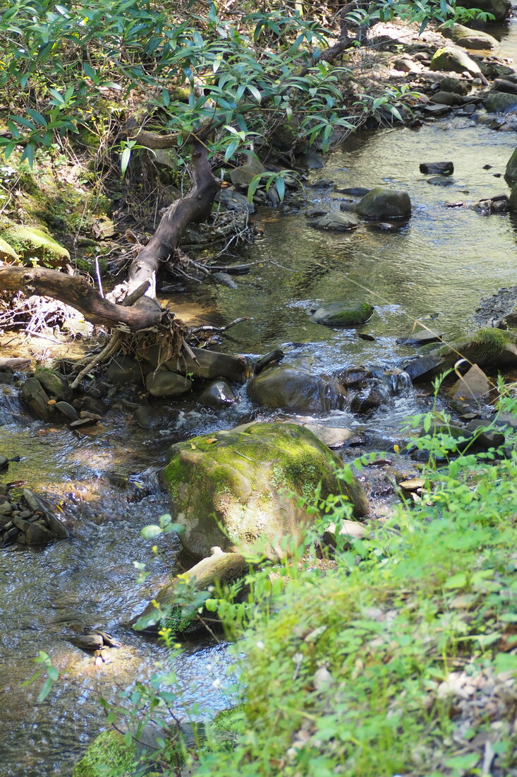
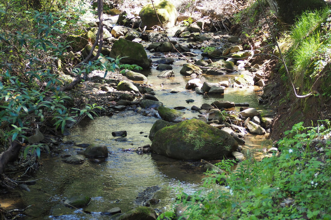
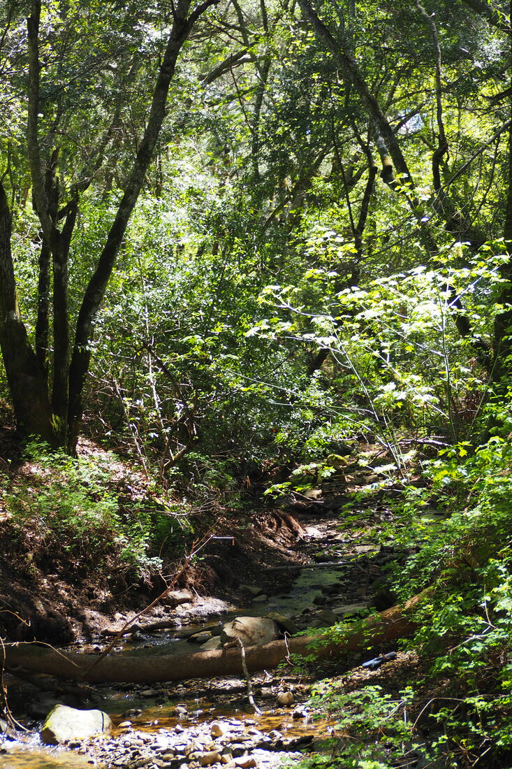
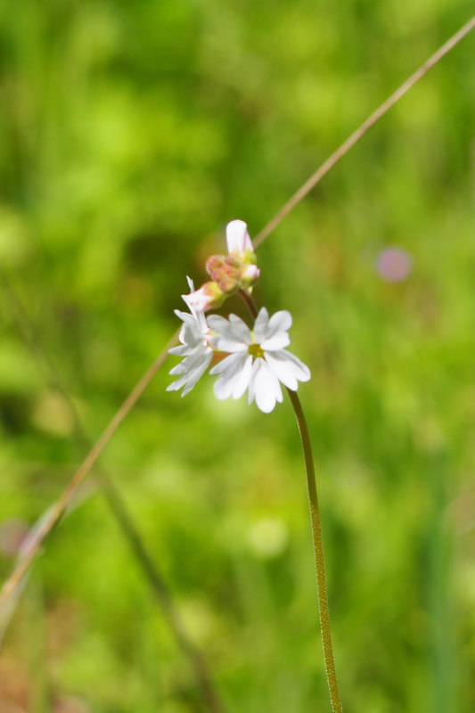
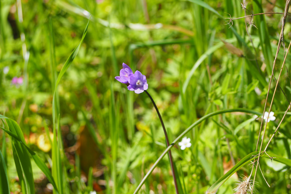
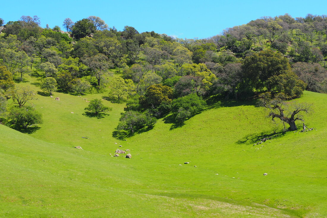
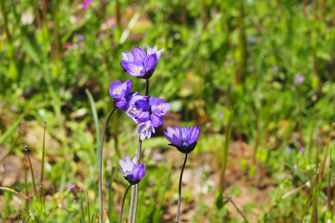
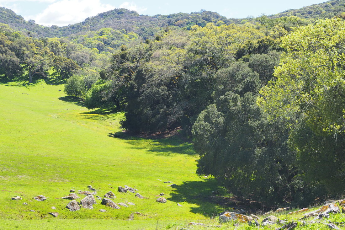
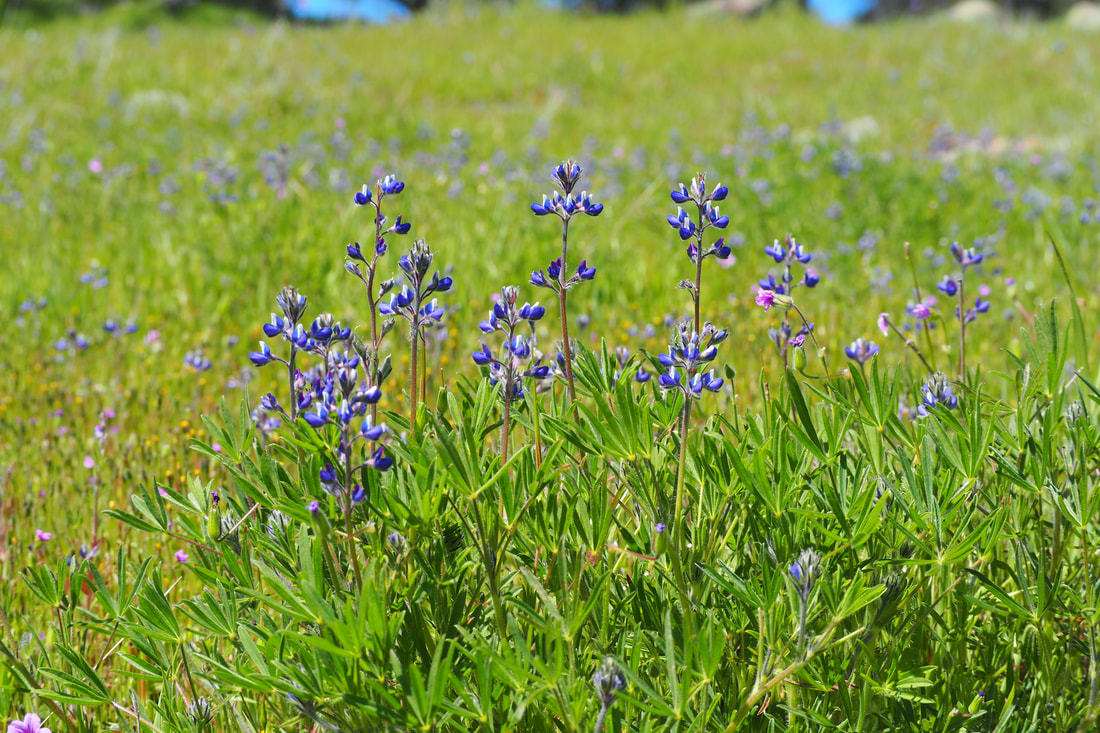
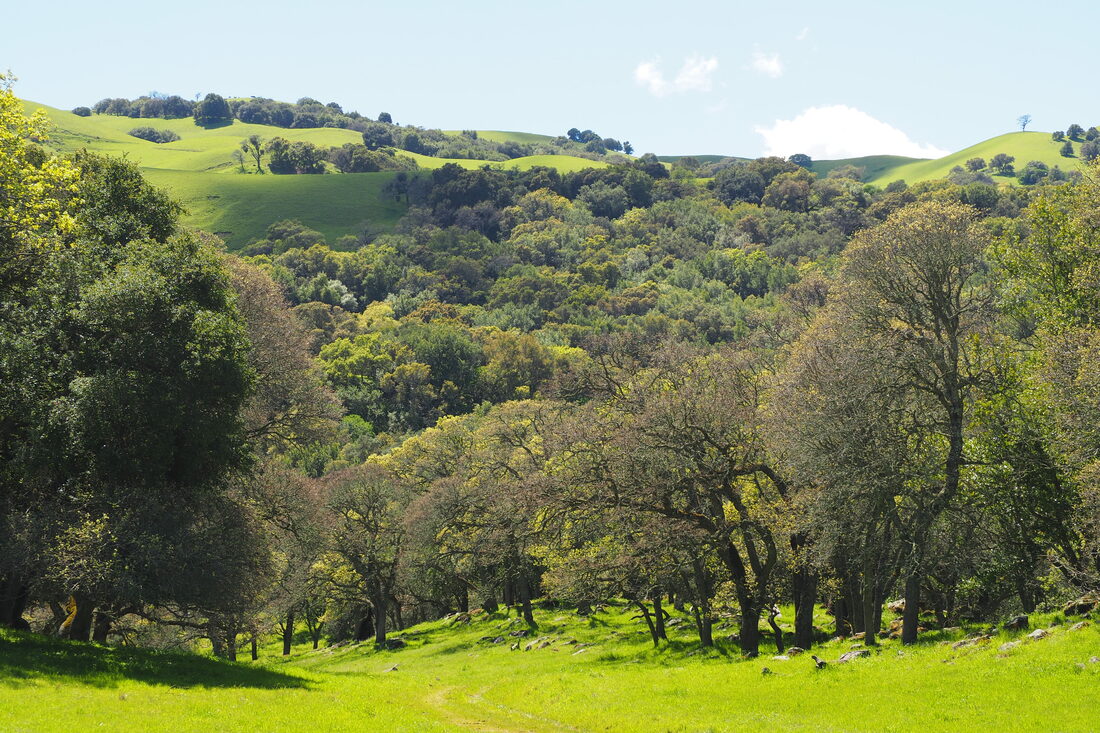
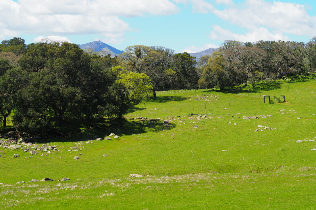
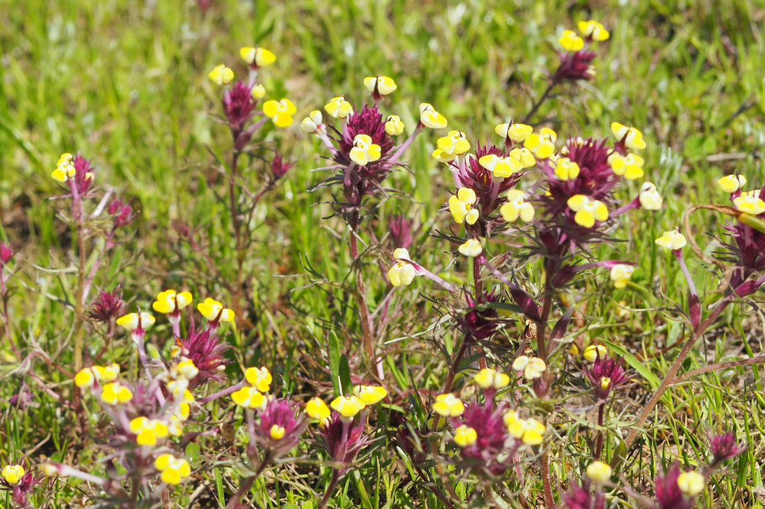
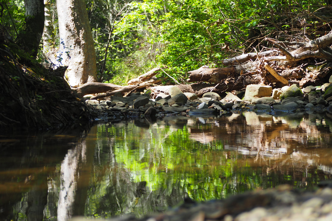
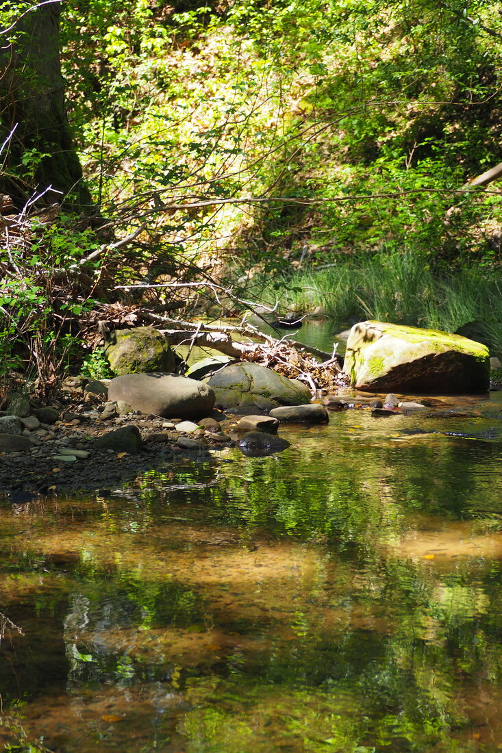
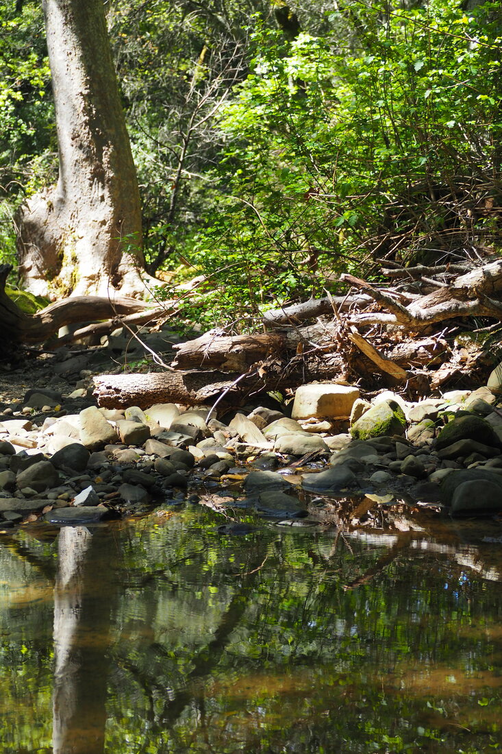
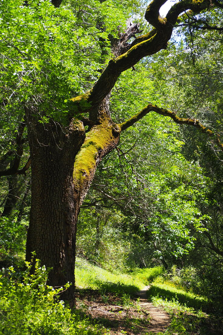
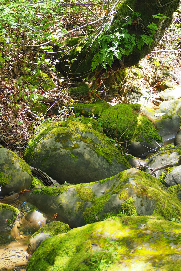
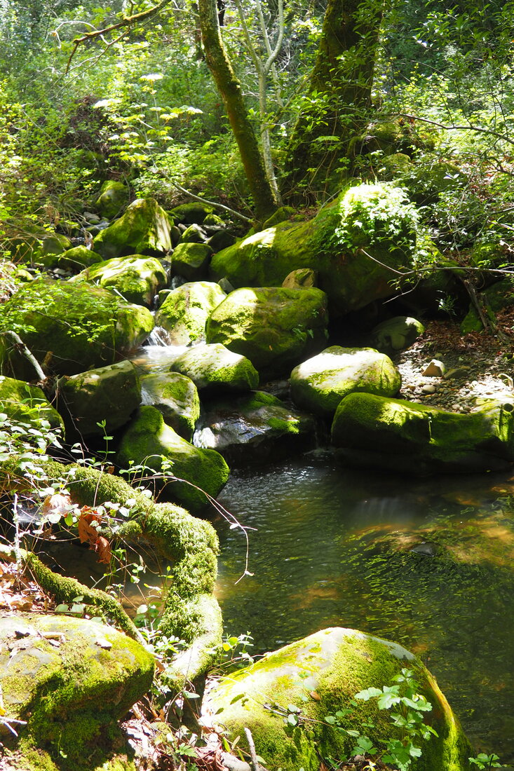
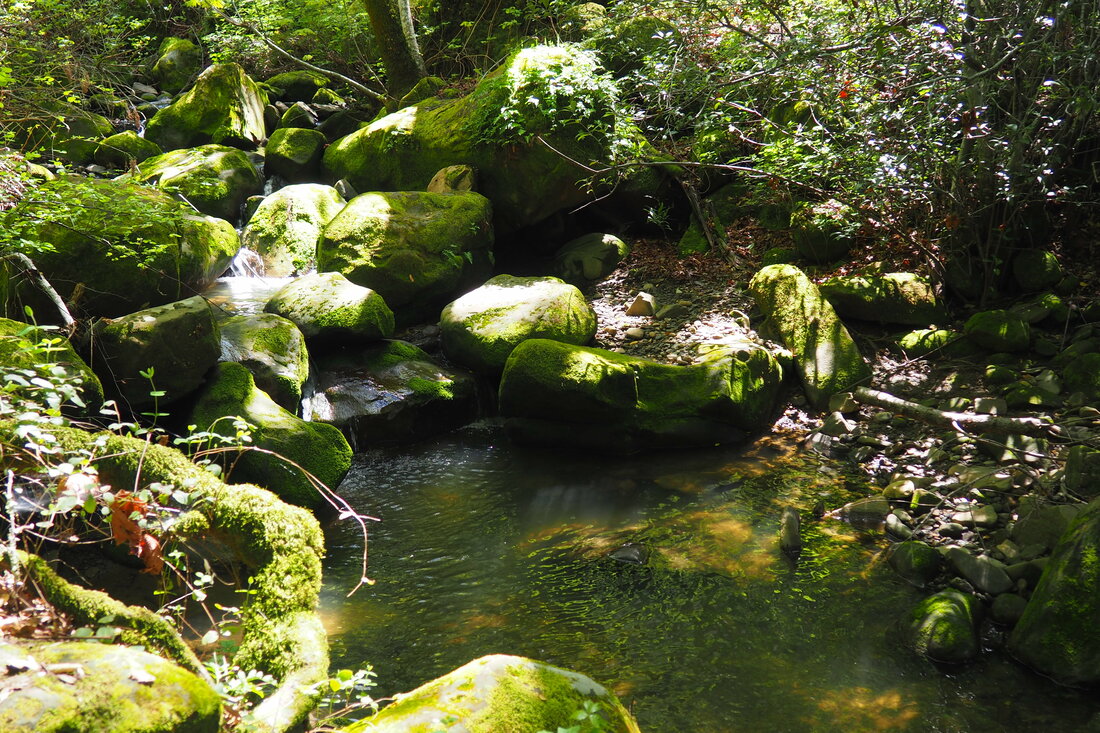
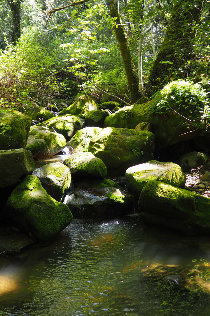
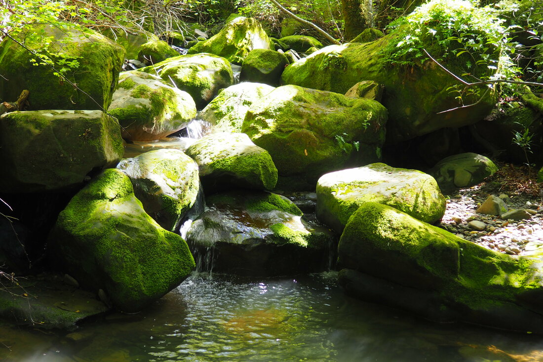
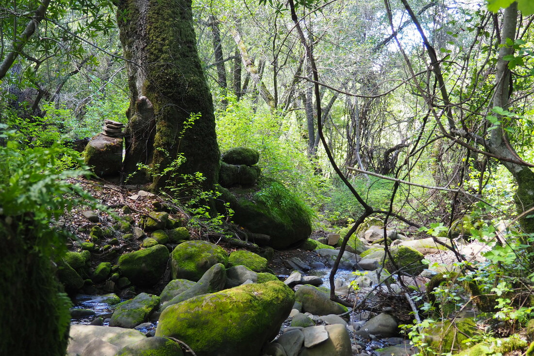
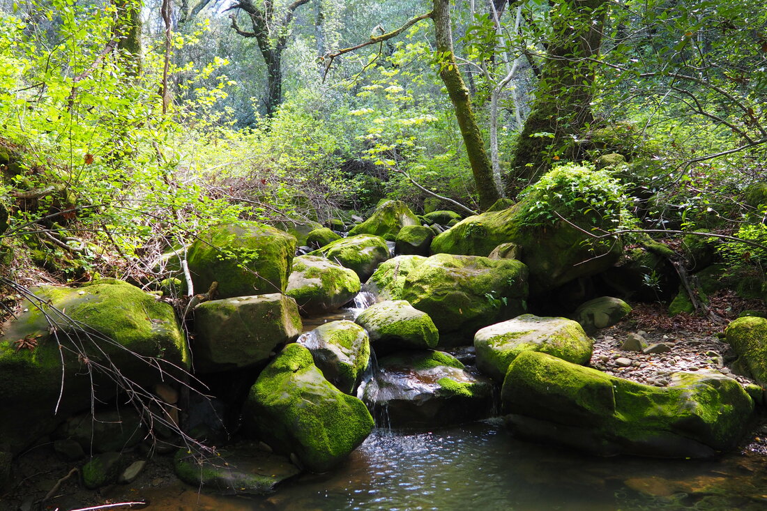
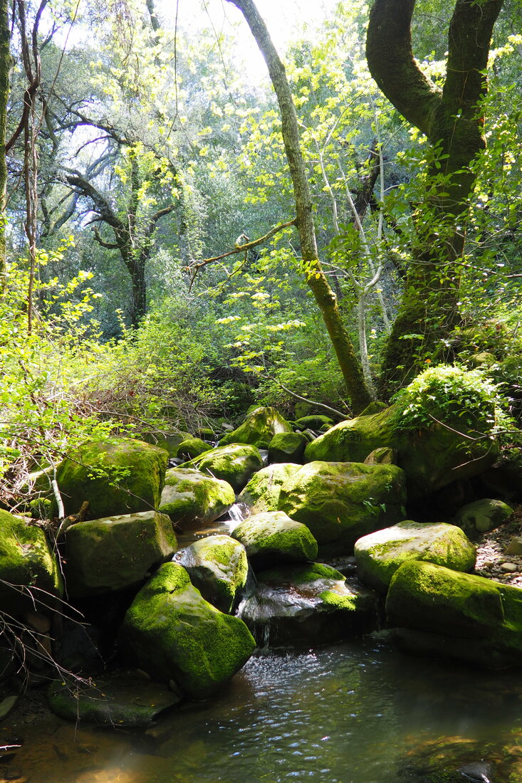
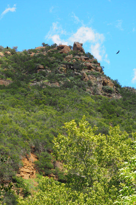
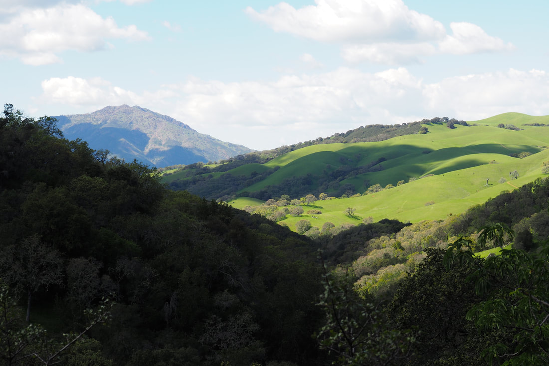
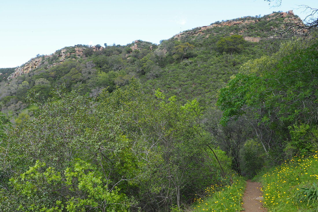
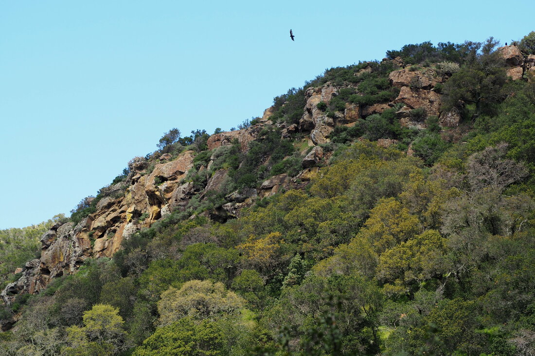
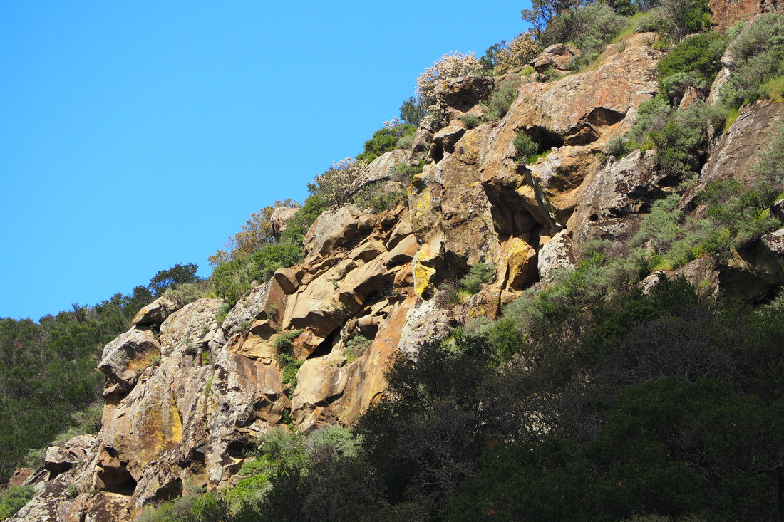
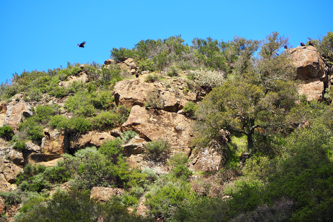
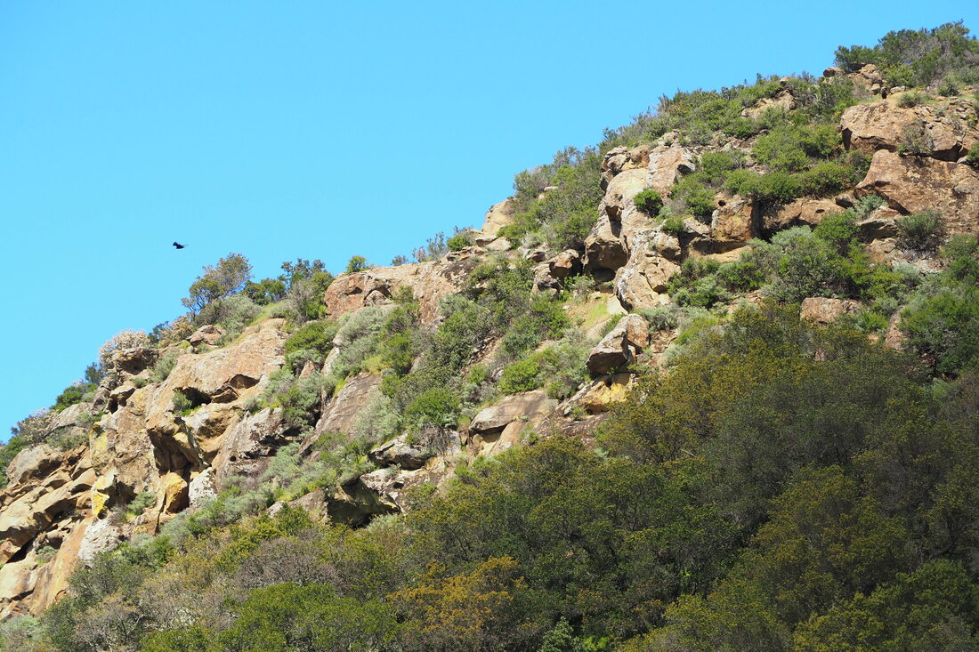
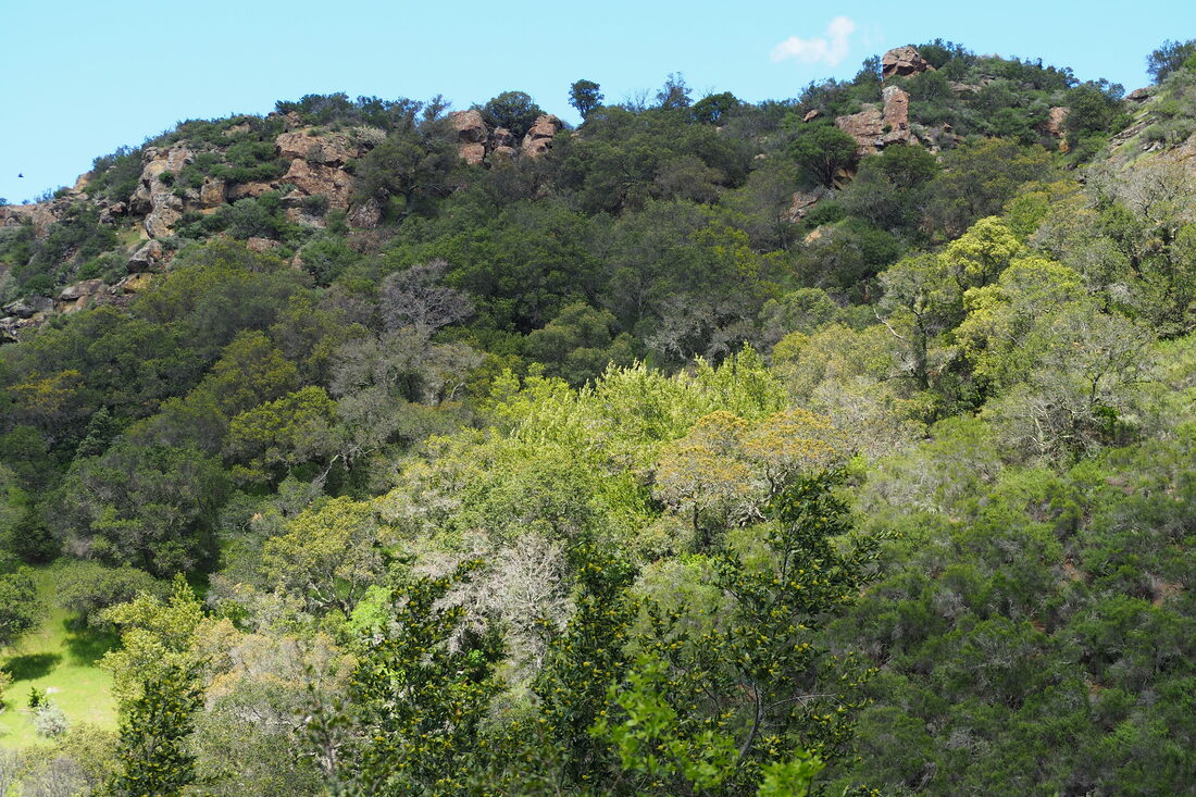
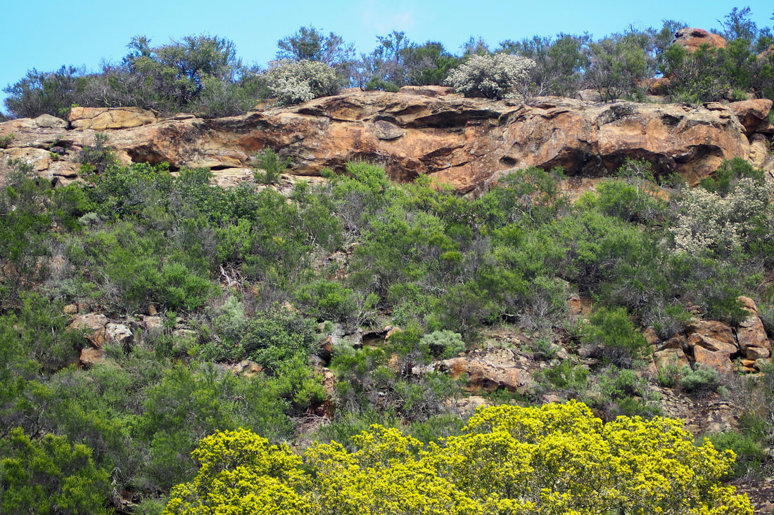
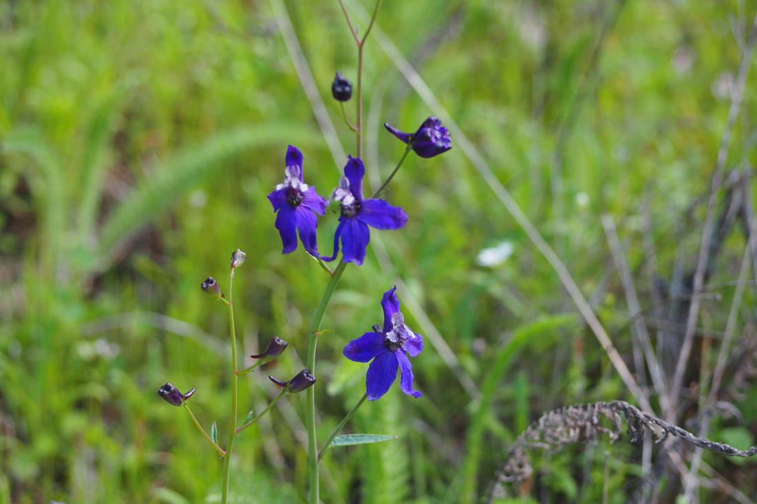
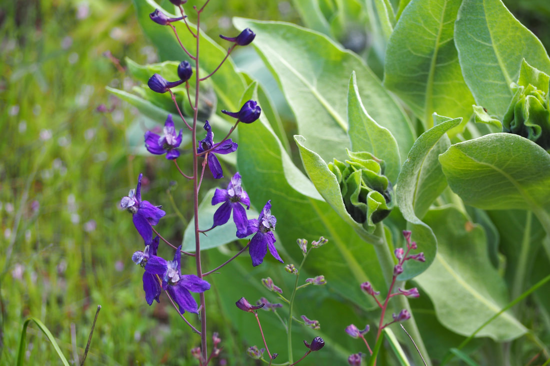
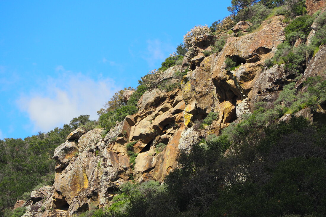
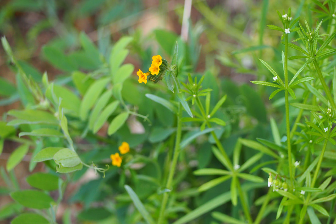
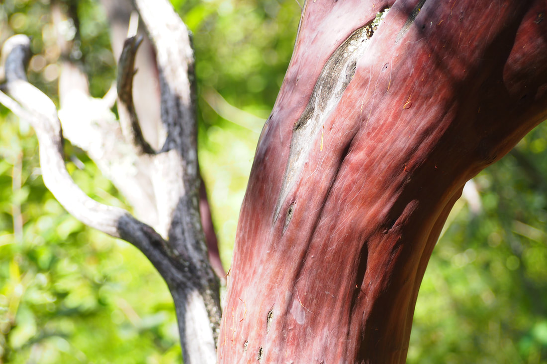
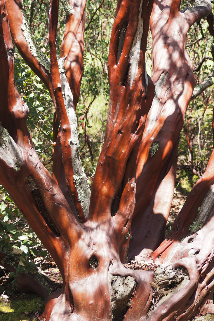
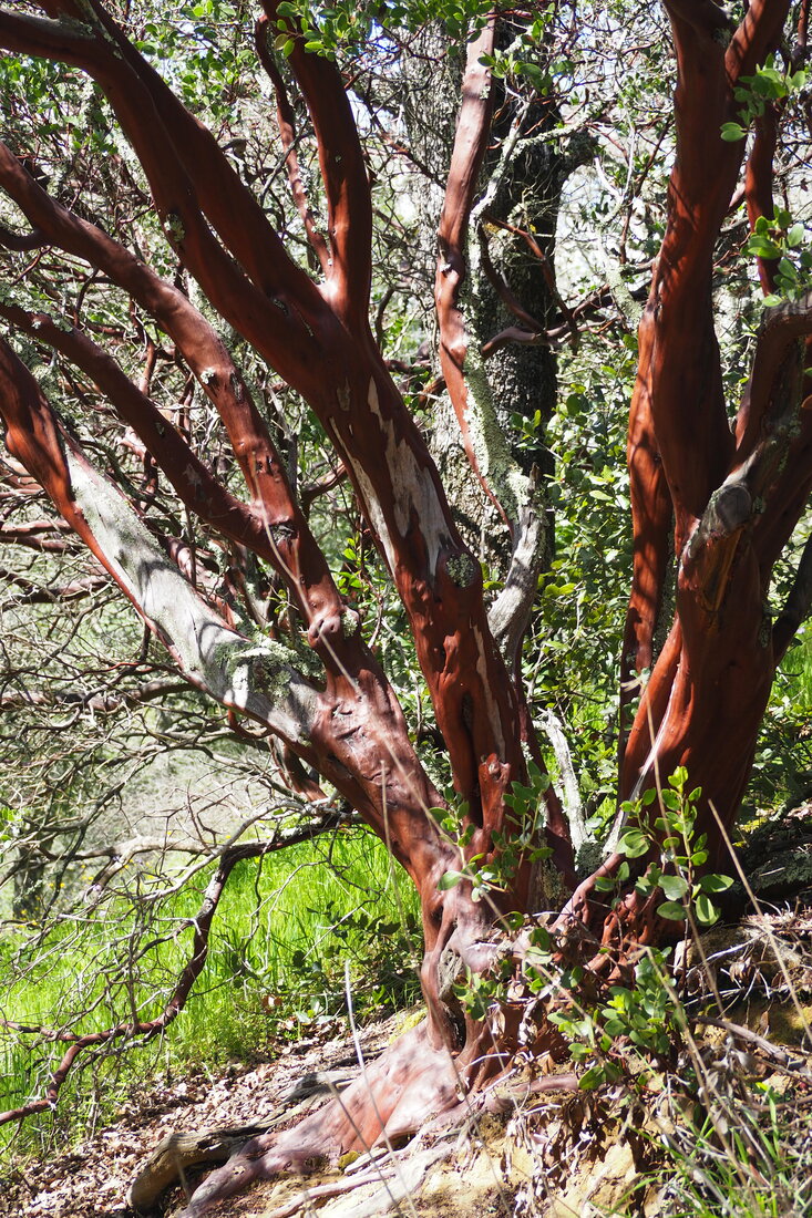
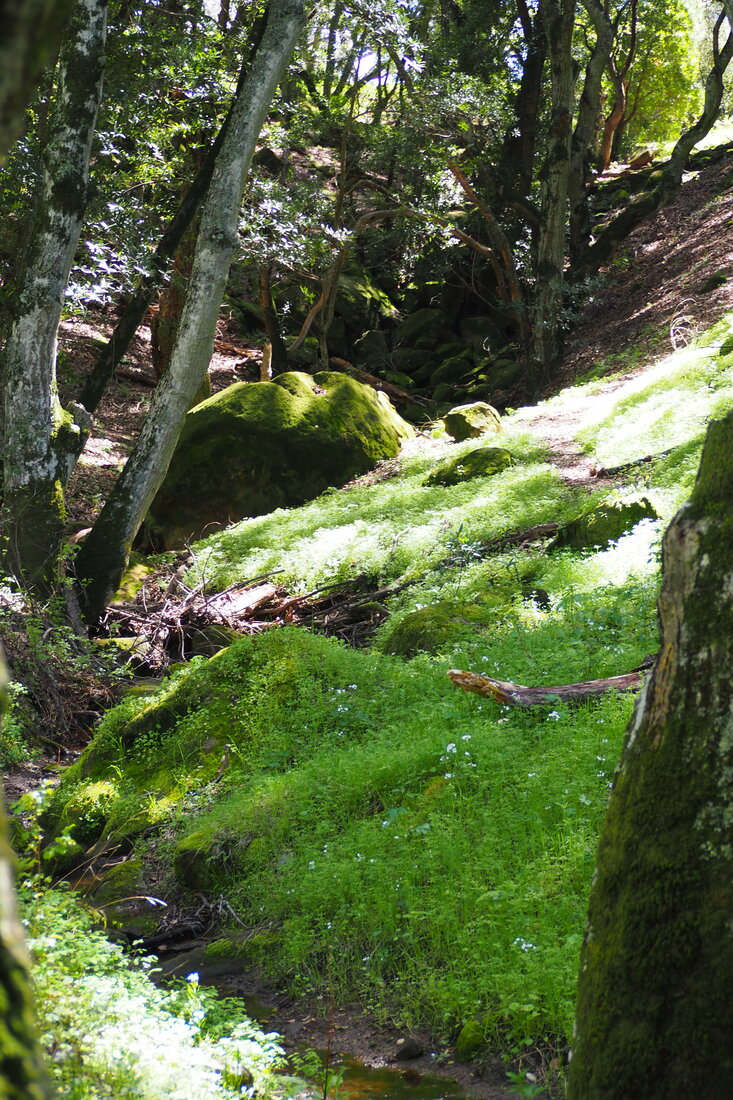
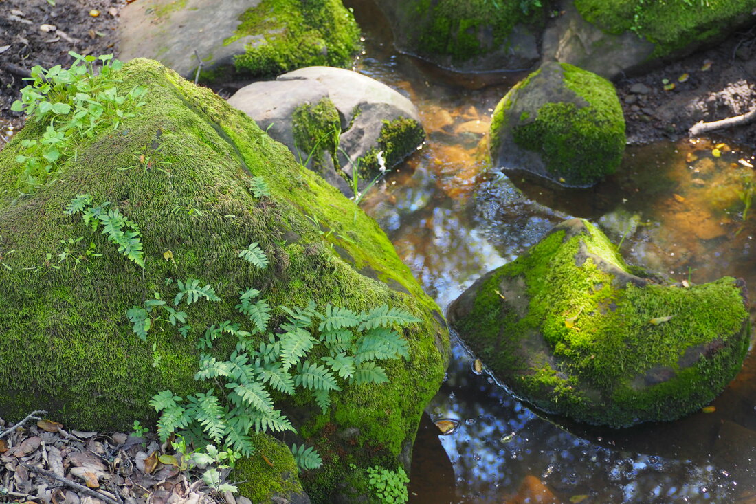
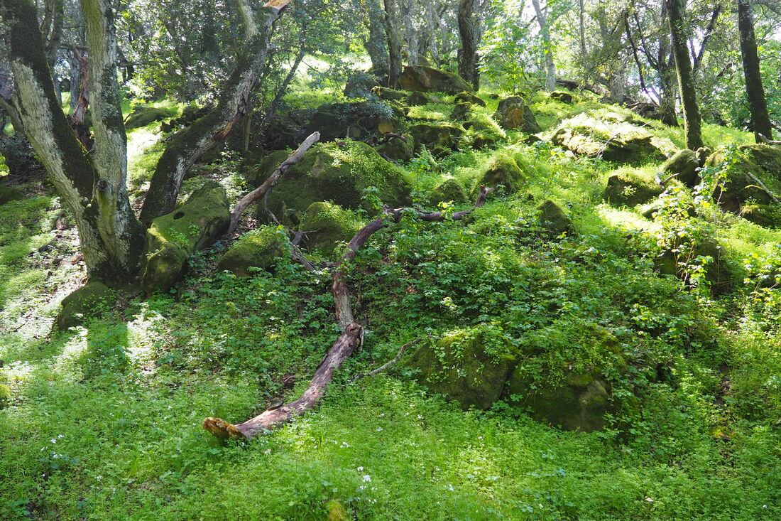
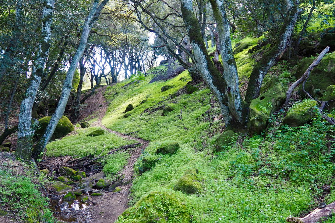
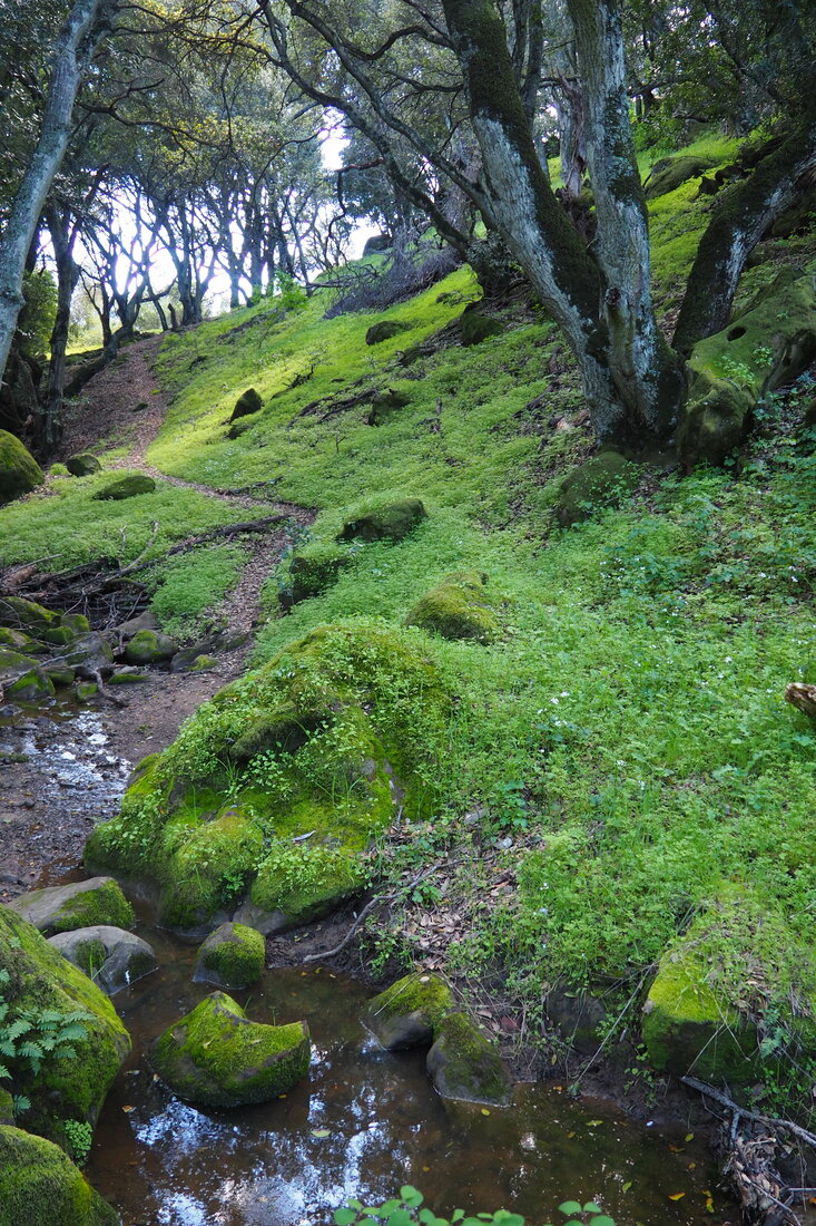
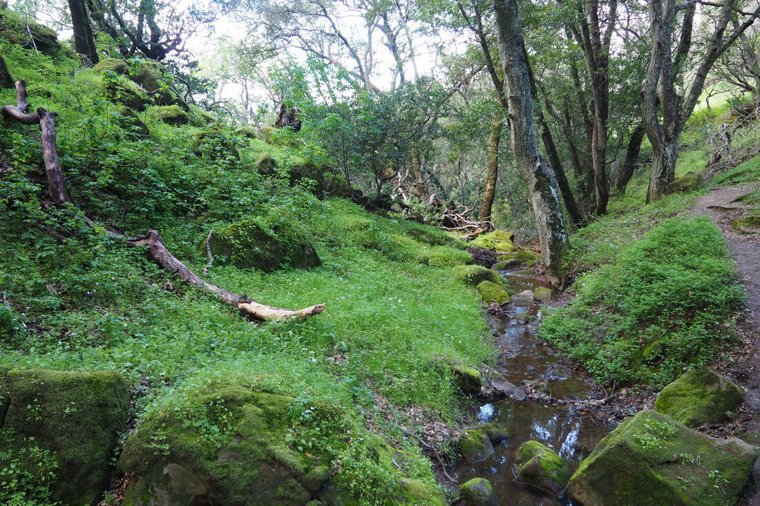
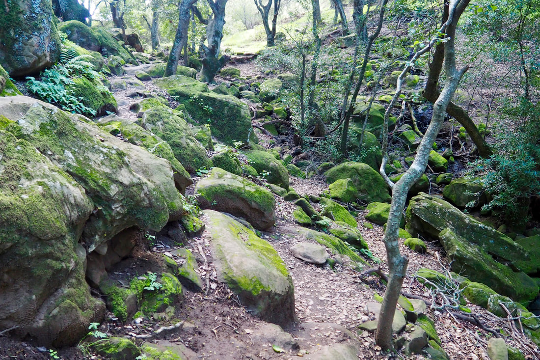
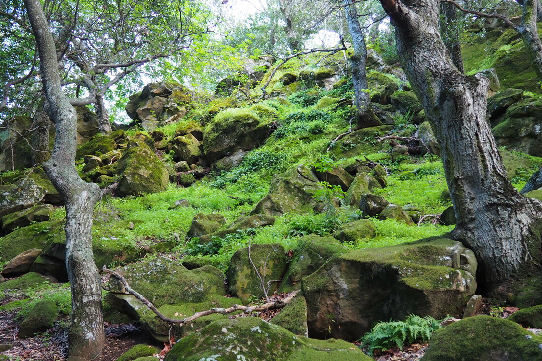
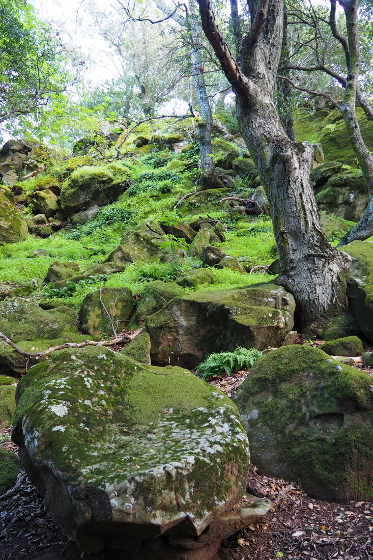
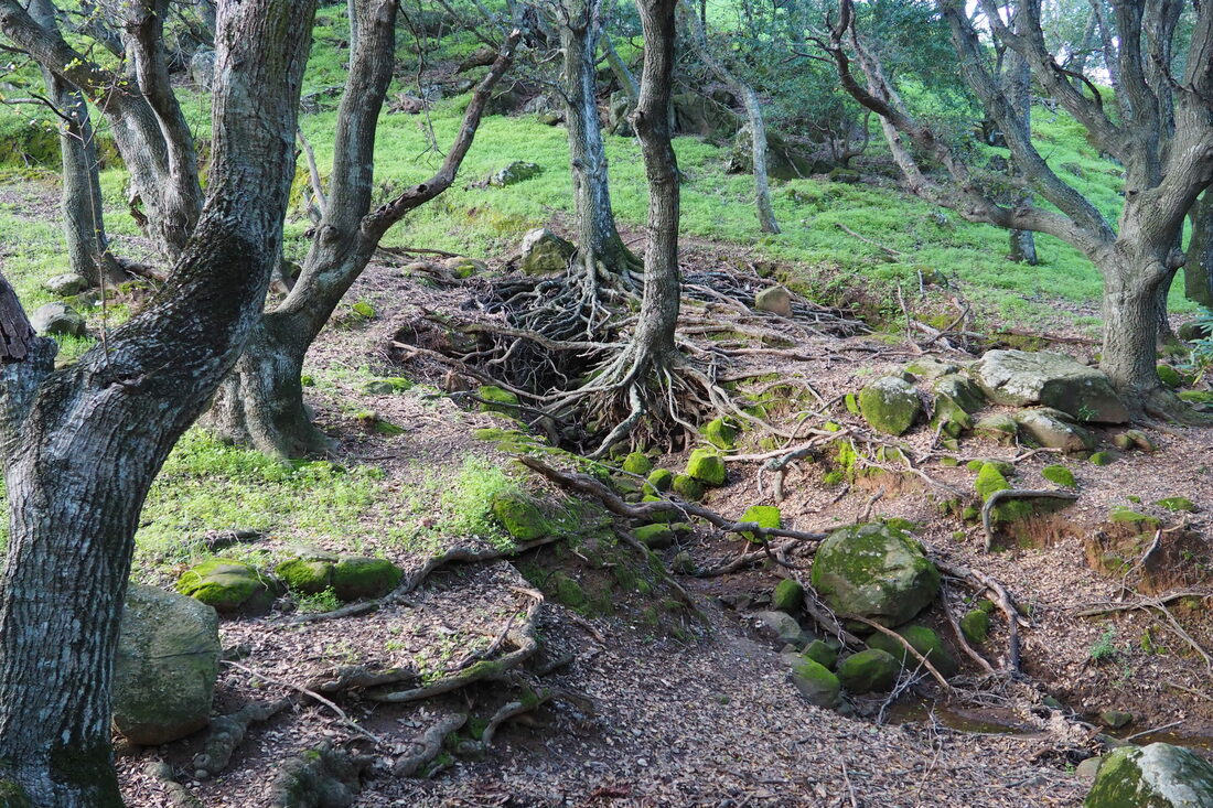
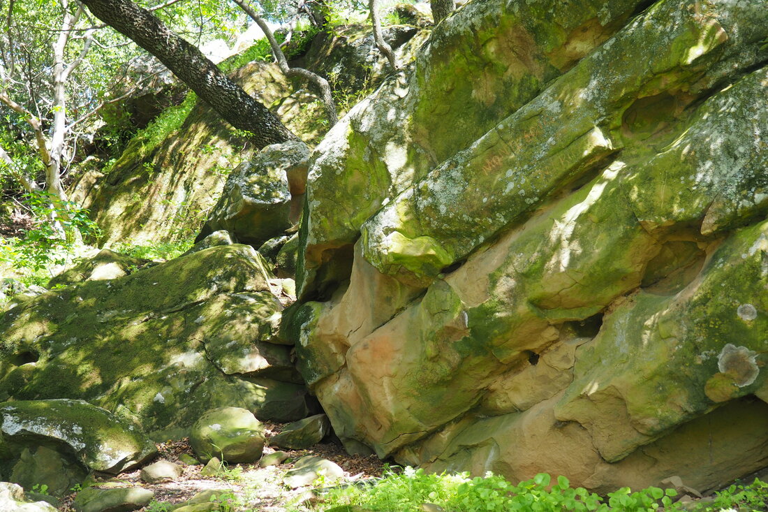
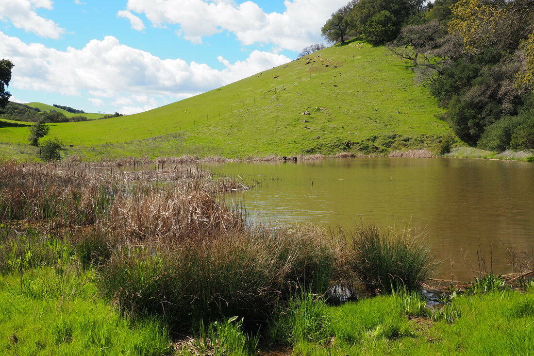
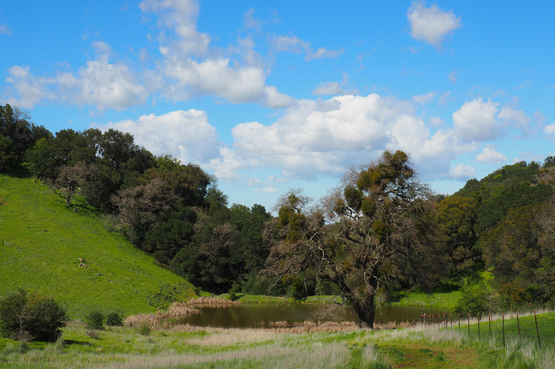
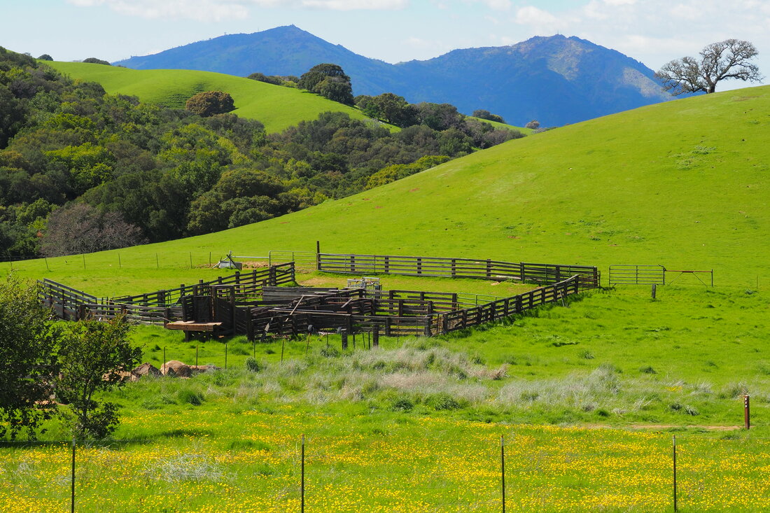
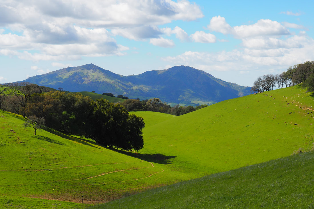
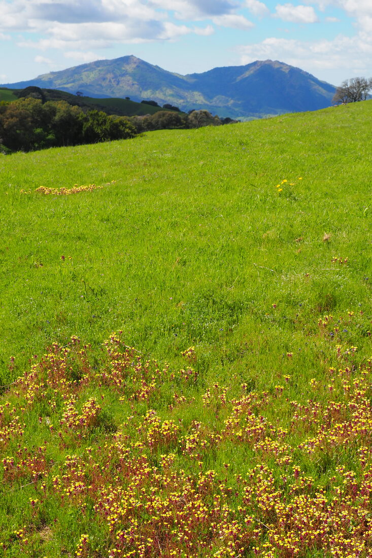
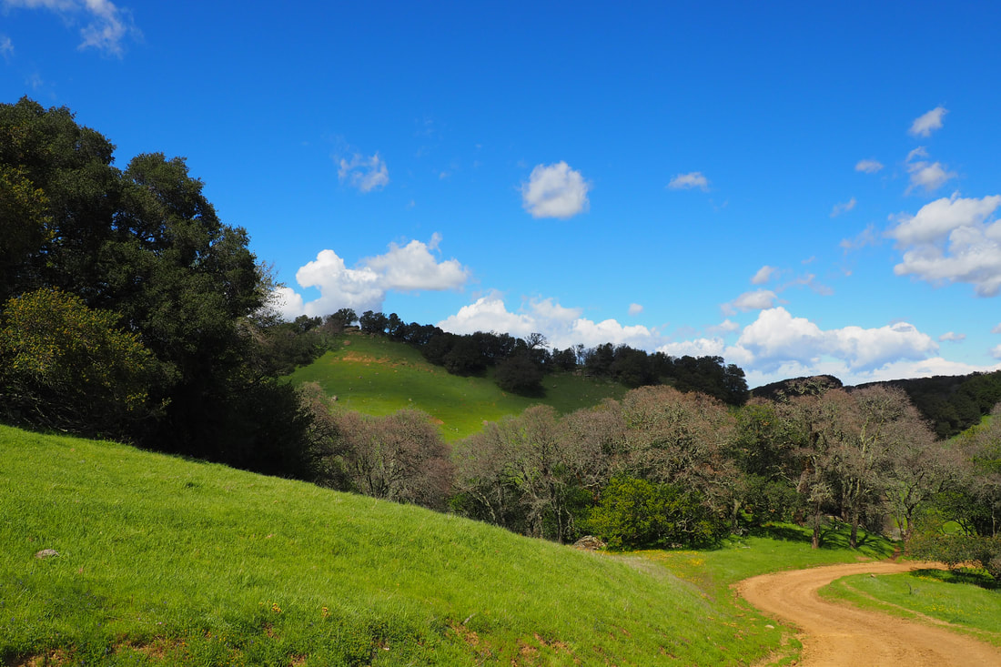
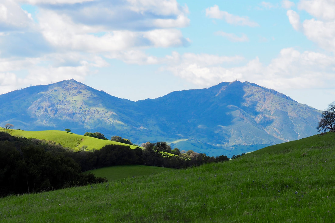
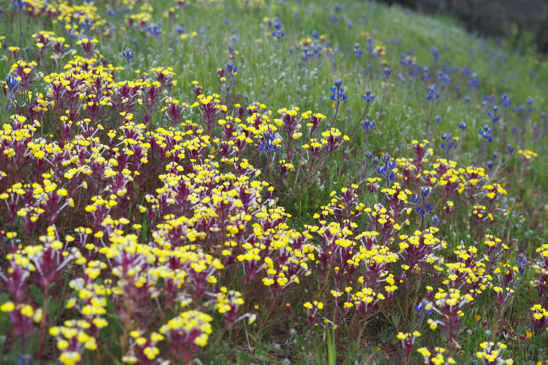
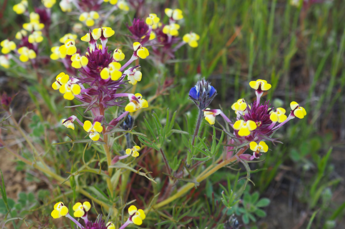
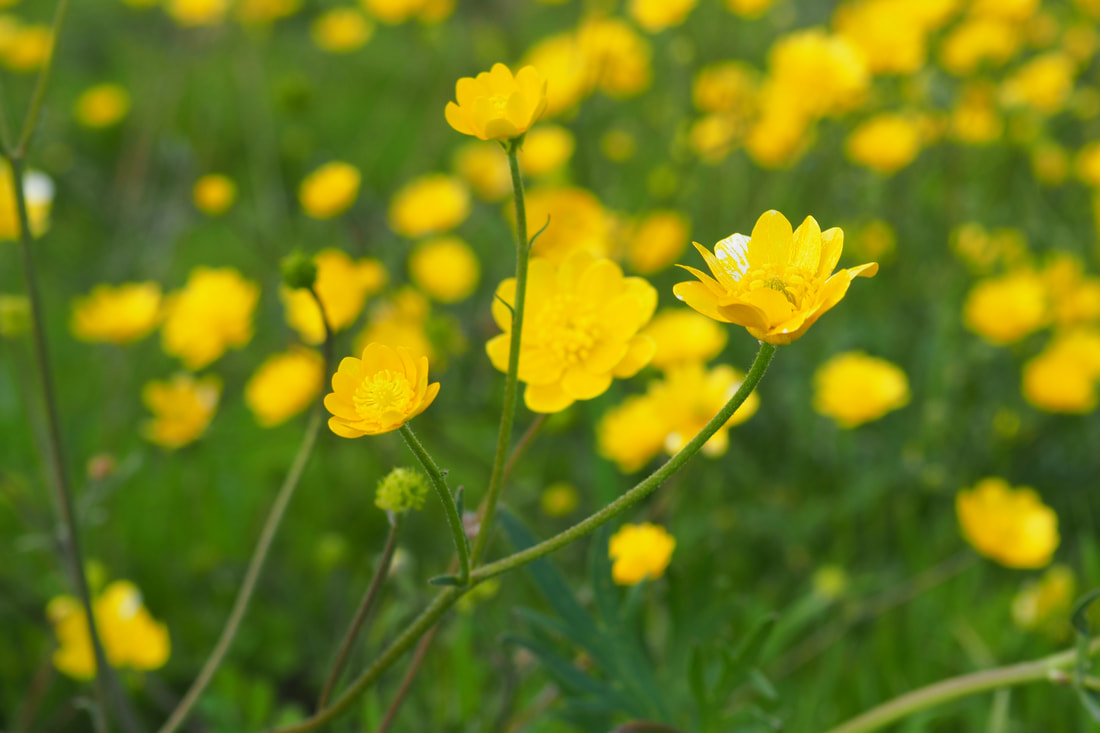
At the intersection with many trails, I went right (downhill) and then to the left at the next fork to stay on Clyma Trail, which also goes by the name "Bob Walker Regional Trail" at this point. After crossing Morgan Territory road again, the trail started to go by Highland Ridge Trail. Here, there were a TON of wildflowers, particularly buttercups and shooting stars. I took the turn at the right for the Stone Corral Trail, which lead me to the Coyote Trail, a single-track path that paralleled a delightful, bubbling creek in fairly deep shade. This part of the trail was relatively flat until the end, and then it ascended steeply. As I gained in elevation, I broke out from under the trees and got the views of the sandstone that I wanted. It was beautiful to see the falcons, vultures, and condors circling in the air and then gracefully landing on the rocks and caves of the cliff face. 

As I climbed, I started to see more and more manzanita and fewer oaks, sycamores, and bay laurel trees. I also saw lots and lots of larkspur and miniature lupine. With all of the up-and-down, I would say that this was a moderate hike even though it wasn't all that long mileage wise. It was just stunning to watch the shadows of the clouds race across the emerald green hills, to hear the songs of red-winged blackbirds near seasonal pools and the croaks of frogs near streams, and to smell the tangy-sweet smell of bay trees. 
0 Comments


Leave a Reply.

    Archives

    December 2020
    November 2020
    October 2020
    September 2020
    August 2020
    July 2020
    June 2020
    May 2020
    April 2020
    March 2020
    February 2020
    January 2020
    December 2019
    November 2019
    October 2019
    September 2019
    August 2019
    July 2019
    June 2019
    May 2019
    April 2019
    March 2019
    February 2019
    January 2019
    December 2018
    November 2018
    October 2018
    September 2018
    August 2018
    July 2018
    June 2018
    May 2018
    April 2018
    March 2018
    February 2018
    January 2018
    November 2017
    October 2017
    September 2017
    August 2017
    April 2017
    March 2017
    February 2017
    January 2017
    November 2016
    October 2016
    September 2016
    August 2016
    July 2016
    June 2016
    May 2016
    April 2016
    March 2016
    February 2016
    January 2016
    December 2015
    November 2015
    October 2015
    September 2015

    Categories

    All
    Art Expedition
    Bay Laurel Trees
    Bayside
    Beaches
    Berkeley City Parks
    Bureau Of Reclamation
    Camping
    Cliffs
    Coastside
    Contra Costa Water District
    Creeks
    Deserts
    East Bay Municipal Utility District
    East Bay Regional Park District
    EBRPD Trails Challenge
    Eucalyptus
    Flat Hikes
    Gulf Coast Family Vacation
    Historical Sites
    Kid Friendly
    Lakes
    LARPD
    Length: 10 To 15 Miles
    Length: 15+ Miles
    Length: 1 To 5 Miles
    Length: 5 To 10 Miles
    Madrones
    Manzanita
    Maples
    Marin County Parks
    Midpeninsula Regional Open Space Preserves
    Mountains
    Museums
    National Forest Service
    National Parks
    National Wildlife Refuge
    Oakland City Parks
    Oaks
    Palo Alto & Atherton Parks
    Peninsula Open Space Trust
    Pleasanton City Parks
    Portola Valley Town Trails
    Redwoods
    Rocks
    San Francisco City Parks
    San Mateo County Parks
    Santa Clara County Parks
    Santa Cruz City Parks
    Sierras
    Stanford
    State Parks
    Swimming Holes
    Sycamores
    Trains
    Tri-Valley
    UC Berkeley
    UC Davis
    Walnut Creek Parks
    Wetlands
    Wildflowers
    Wildlife
    Zoos Farms & Wildlife Preserves

    RSS Feed

Powered by Create your own unique website with customizable templates.
  • Home
  • About
  • Regions
  • Parks
  • Trails
  • Photography