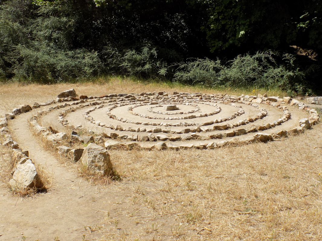
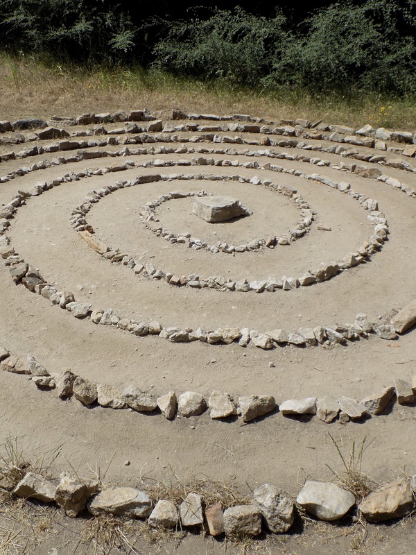
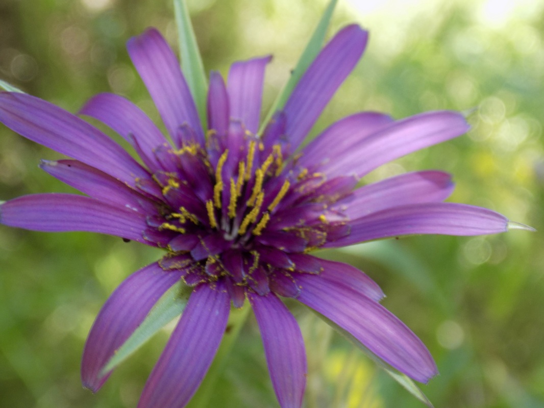
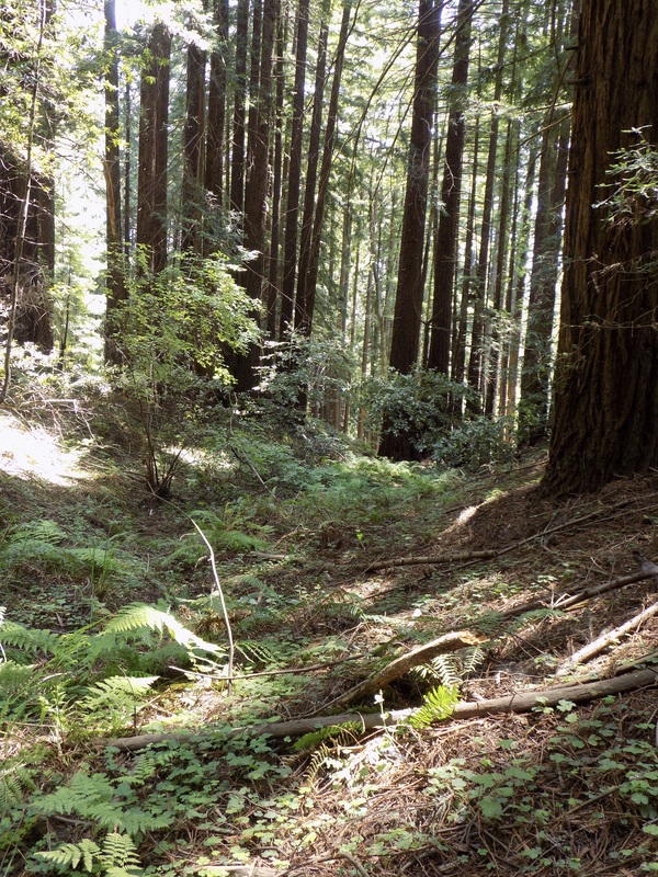
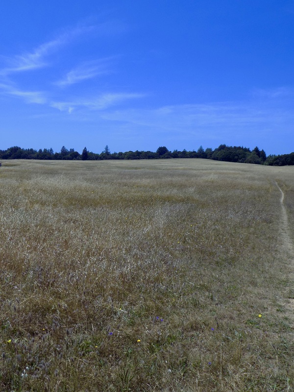
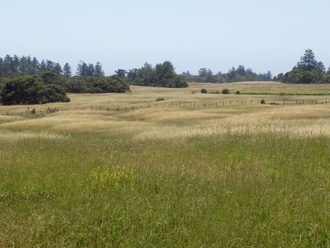
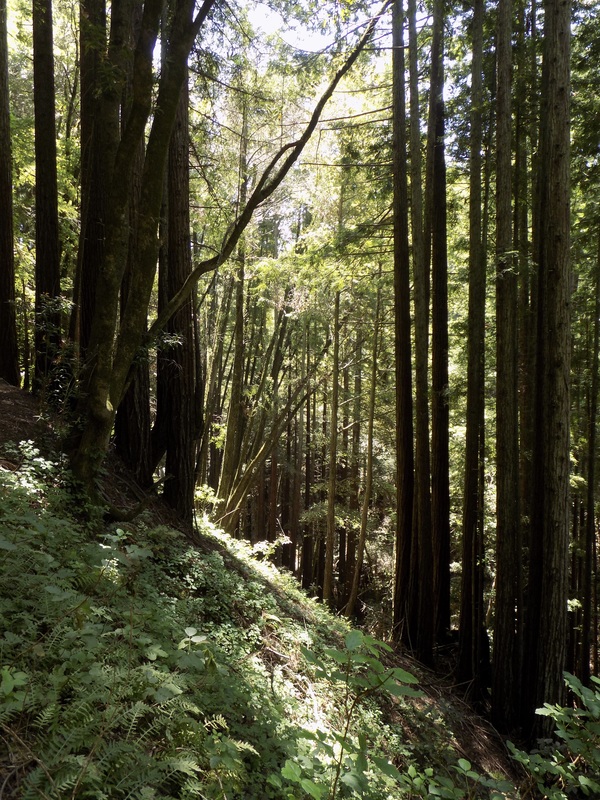
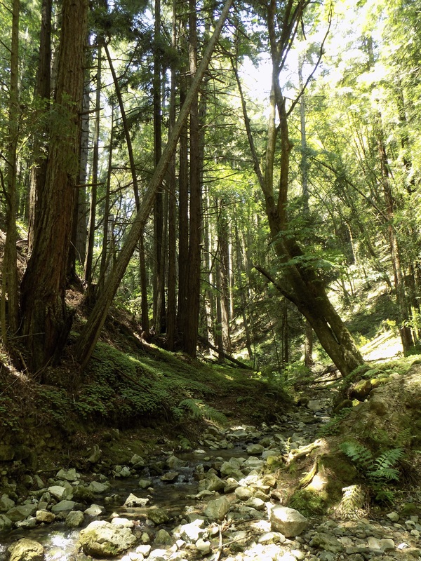
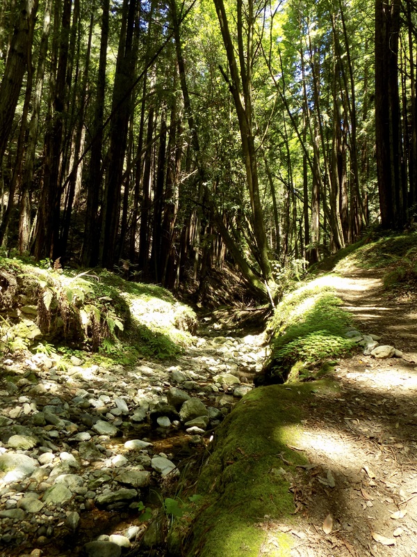
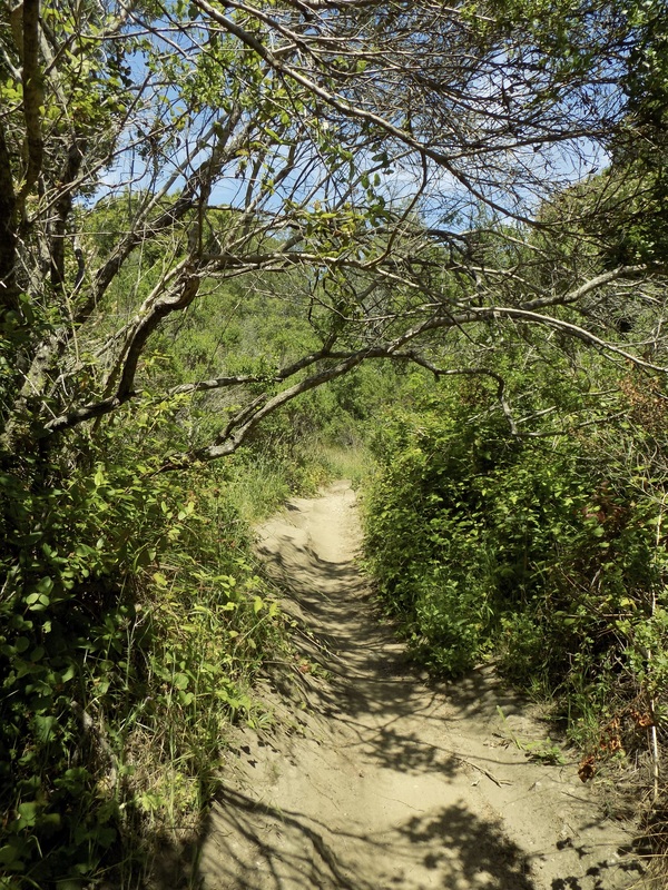
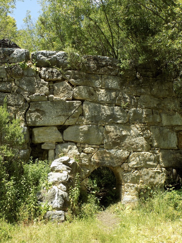
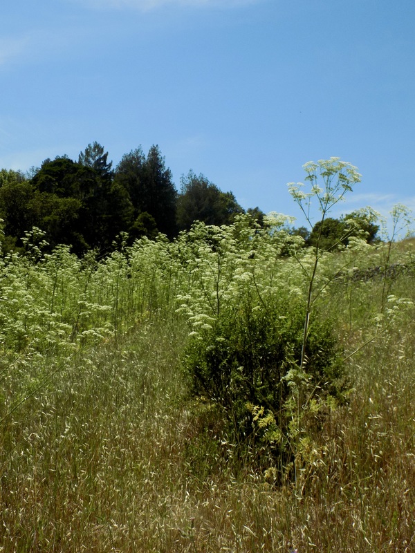
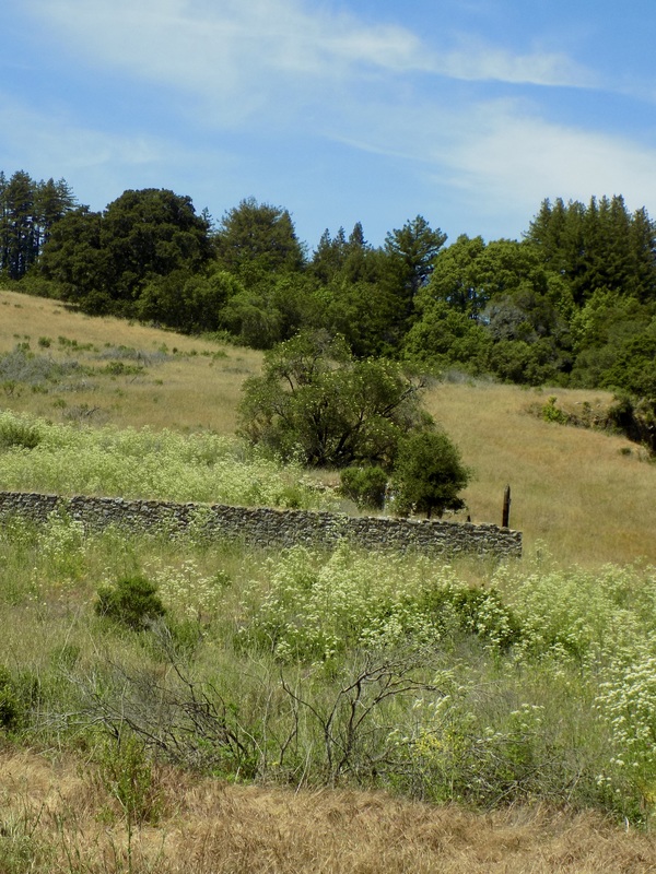
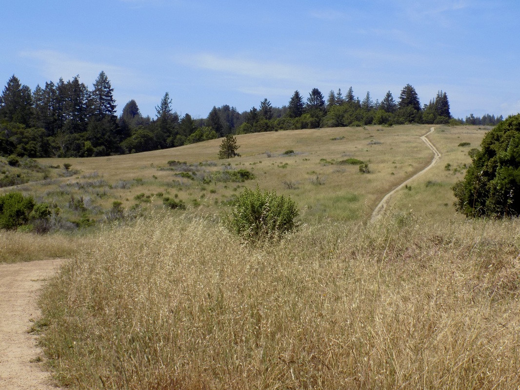
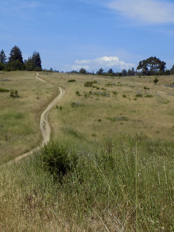
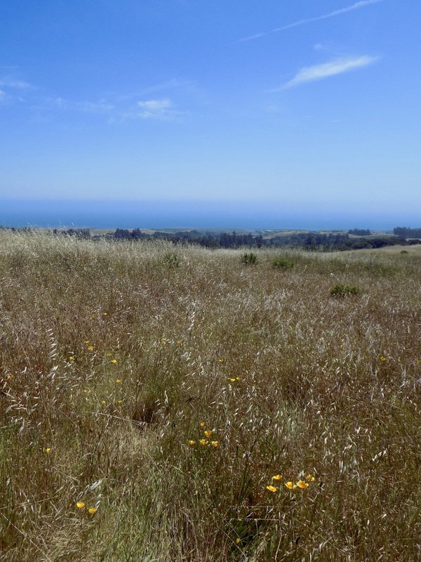
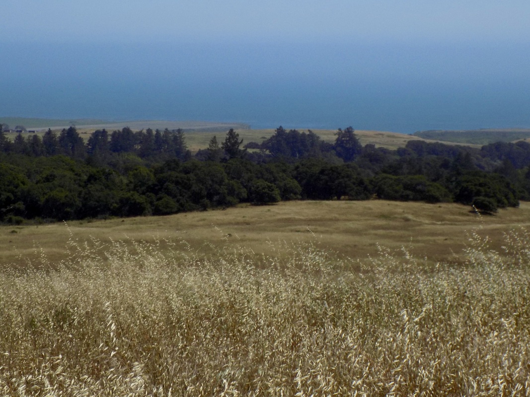
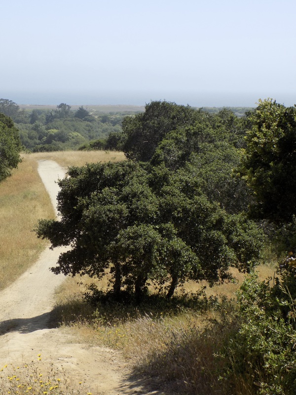
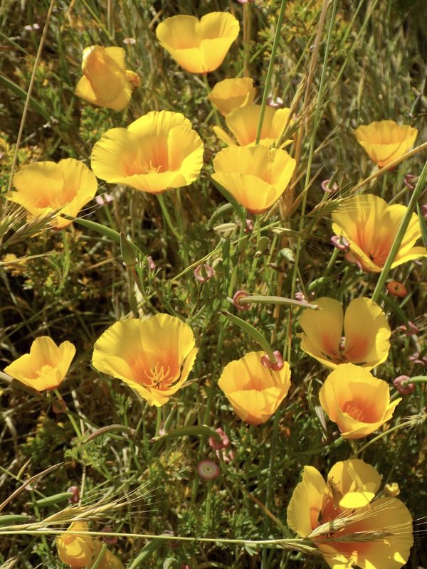
 This 14-16 mile hike (one way) passed from Pogonip Park (map) in Santa Cruz, through UC Santa Cruz and possibly parts of Henry Cowell Redwoods State Park, into Wilder Ranch State Park through to the sea. It was a beautiful hike that went through chaparral, riparian, dense redwood, and open grassy hills that winded down to the Pacific. I don't know if I could exactly retrace our steps, especially along the route we took through UC Santa Cruz when connecting between Pognip and Wilder parks. Here is the route as best as I can piece it together. 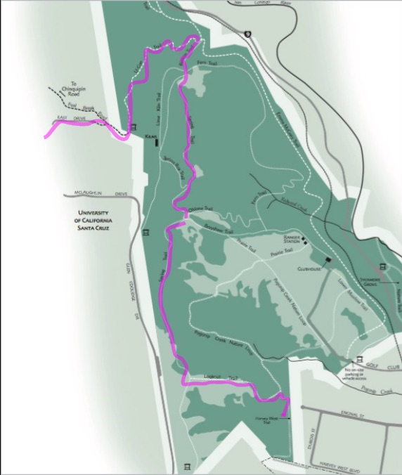 We entered into Pogonip from Encinal St. in Santa Cruz (behind Georgiana Bruce Kirby Preparatory School). There we picked up the Harvey West Trail going uphill and then took the Lookout Trail up to the crest of the hill (each section was about half a mile). From there we got on the Spring Trail, where we found the labyrinth in the lede image. This trail lead on for 1.5 miles north, alternating between grassy meadows and forested woodland. There are many side trails, but we stayed on the Spring Trail all the way to the U-Con Trail. We took the U-Con Trail up the hill for about half a mile to UC Santa Cruz. 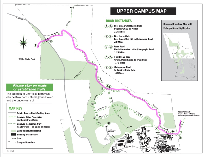 Although I am pretty sure that my friend took me on a circuitous route through the UCSC campus, I did find a pretty straightforward map of the upper campus (source) that shows how to get from Pogonip to Wilder Ranch. The U-Con trail ends at Fuel Break Road on the east side of campus. From Fuel Break Road you can quickly get on Chinquapin Road and take that (a fire road) for 3.25 miles all the way to the Twin Gates, where you can enter into Wilder Ranch. My favorite part of the hike was at Wilder Ranch. I had been to this state park before, but only to the Ohlone Bluff Trail along the water. it was really cool for me to see the park from along the hill and to descend down towards the brilliant blue water through grassy meadows still popping with bright accents of color from the wildflowers. 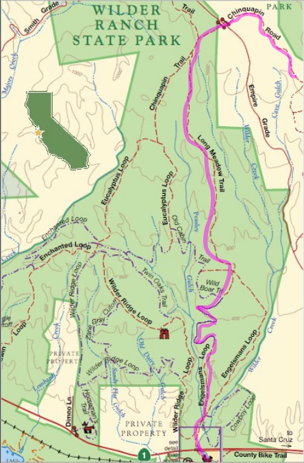 From the Twin Gates area we eventually ended up on Chinquapin Trail (where we saw the ruins of an abandoned lime kiln) and then got onto the Long Meadow Trail. This was a particularly spectacular trail. We stayed straight on this trail until it became part of Engelsmans Loop, which lead all the way back to the State Park HQ. From there, we took the county bike trail back into the city of Santa Cruz, where we ended the hike at the New Leaf Market. Definitely a nice treat to end the hike with a bite of something sweet to eat! Her husband picked us up here,
0 Comments
Leave a Reply. |
Archives
December 2020
Categories
All
|


 RSS Feed
