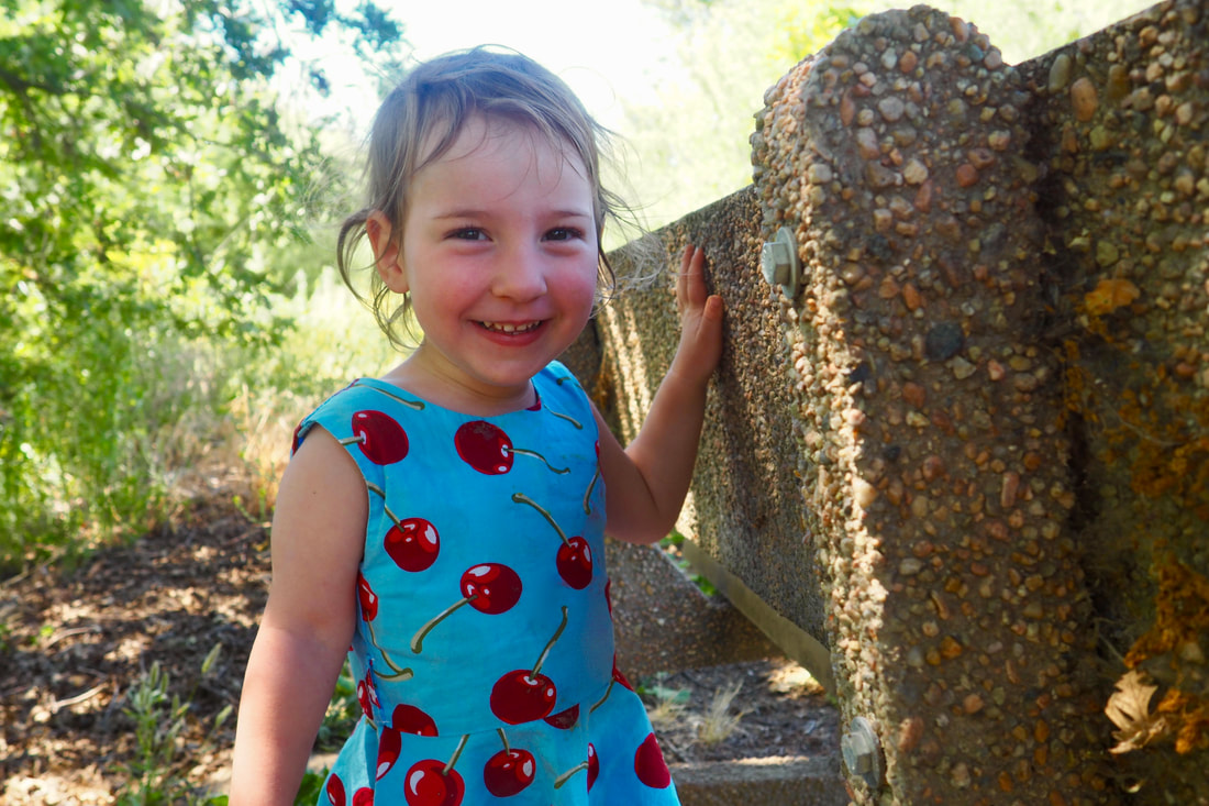
 My daughter and I had so much fun the last time we went to San Joaquin National Wildlife Refuge that we decided to make a return visit.
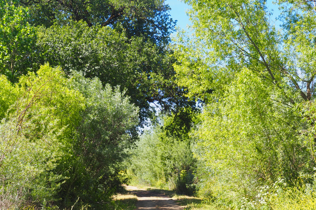
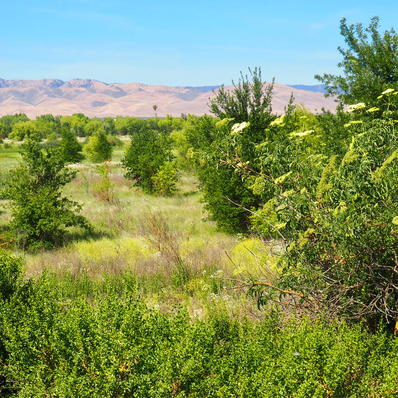
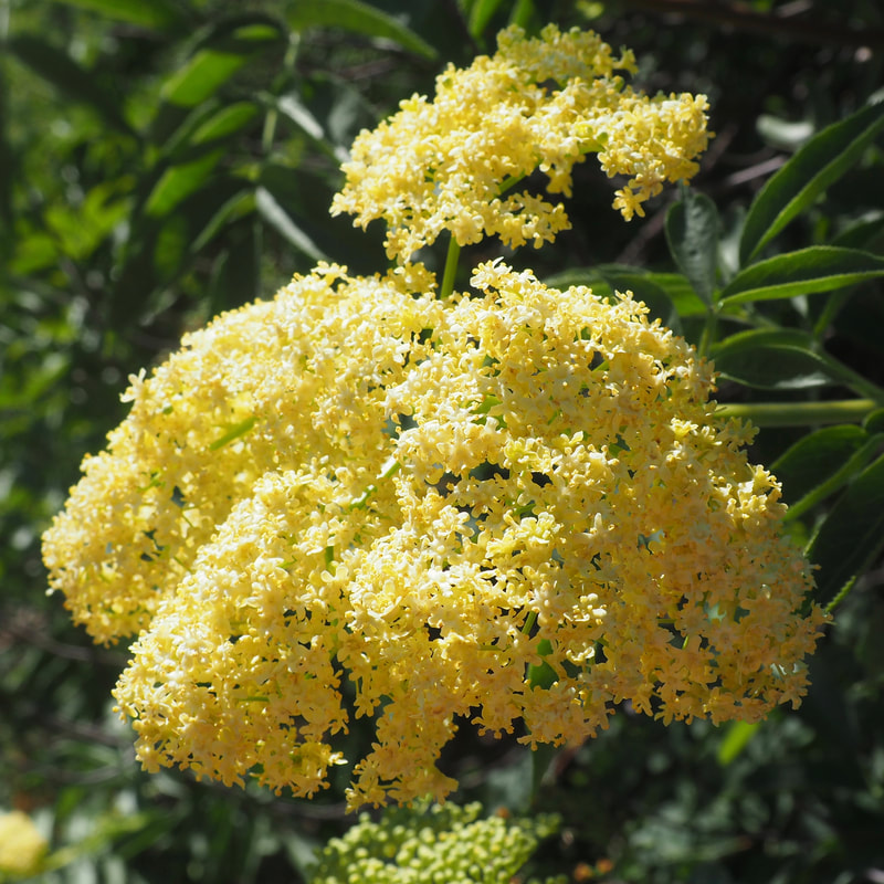
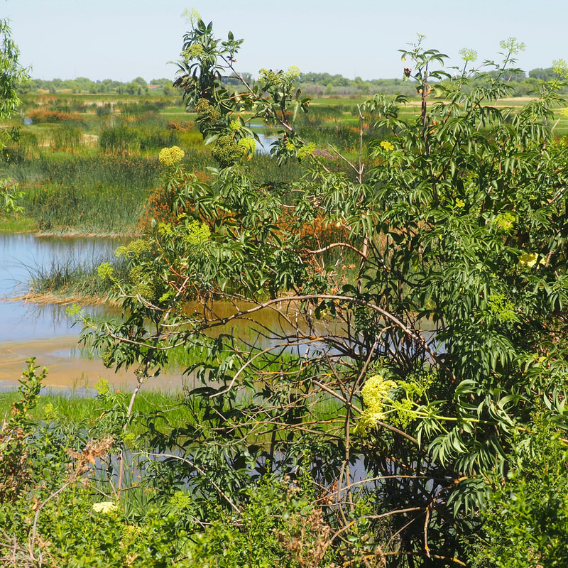
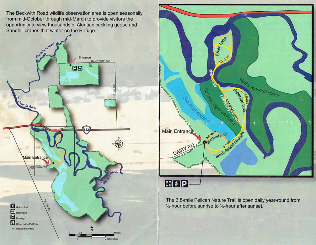
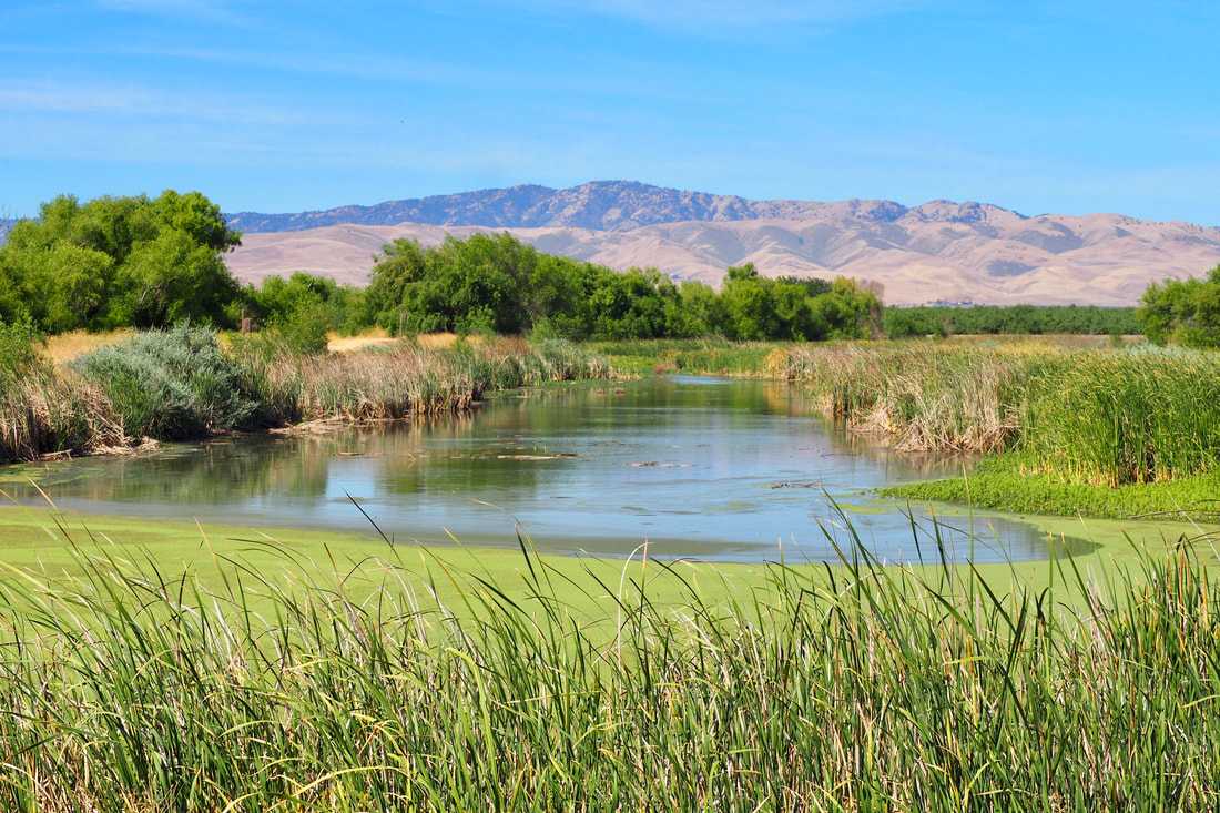
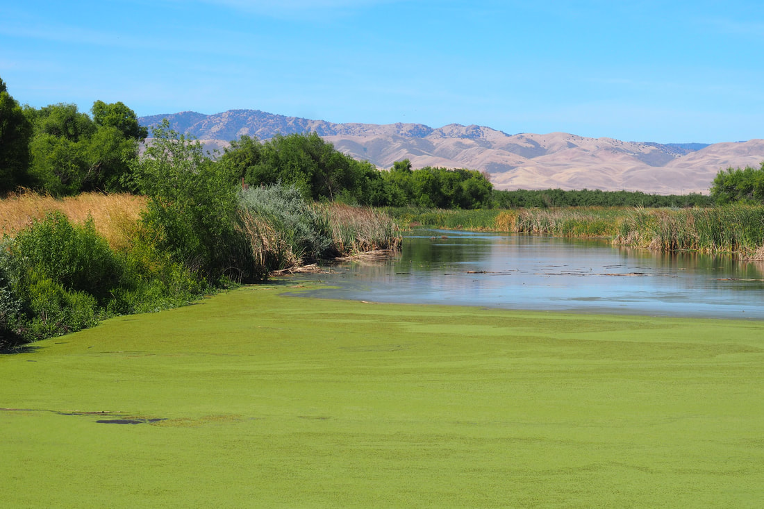
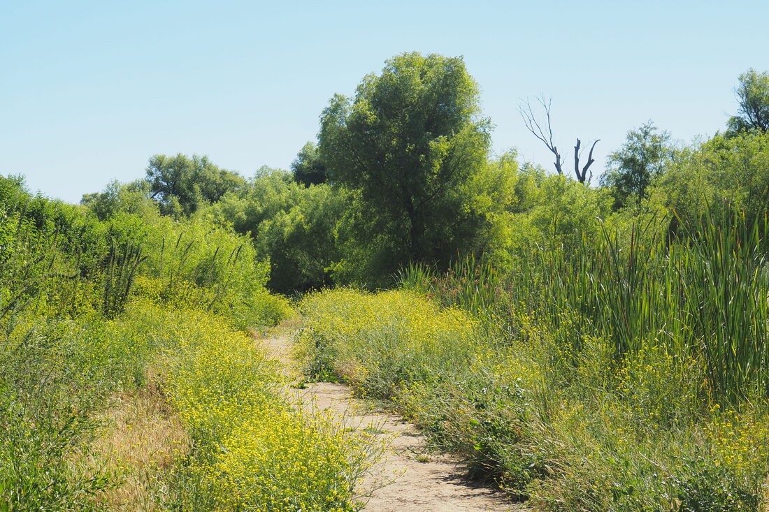
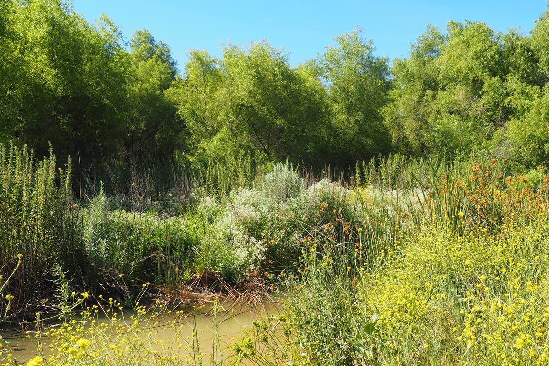
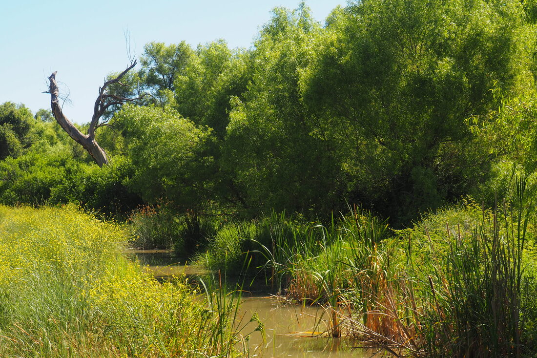
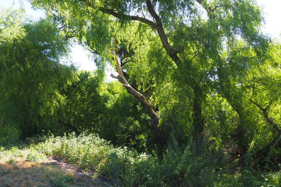
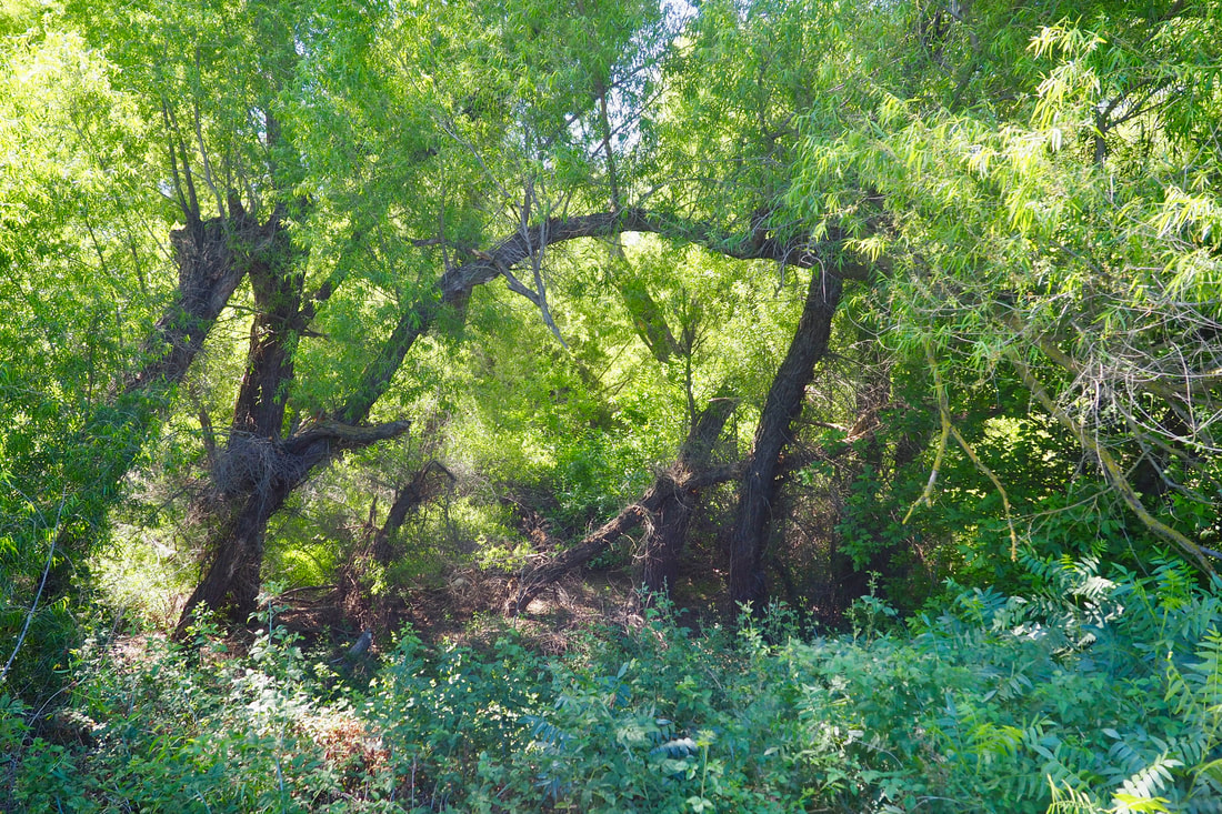
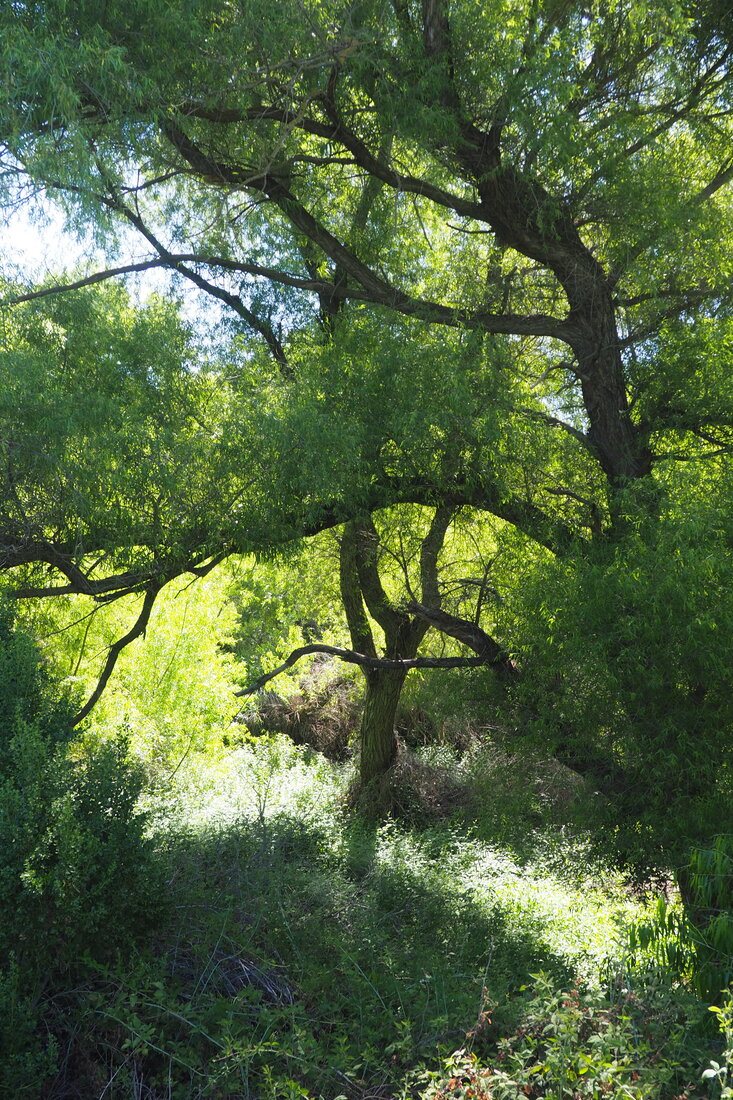
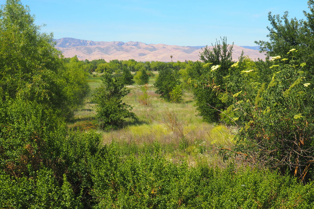
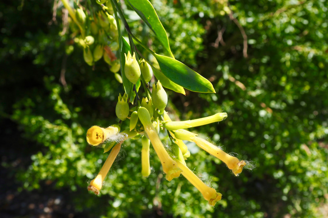
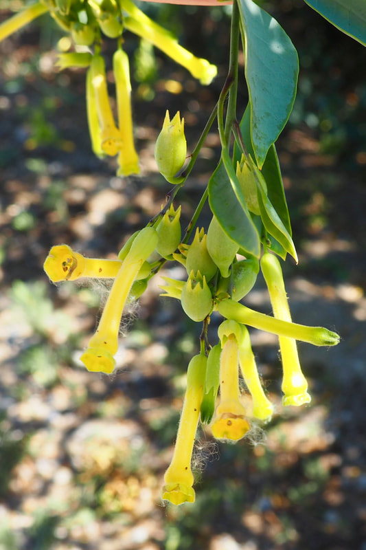
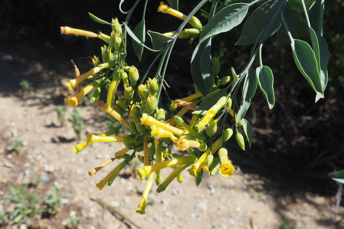
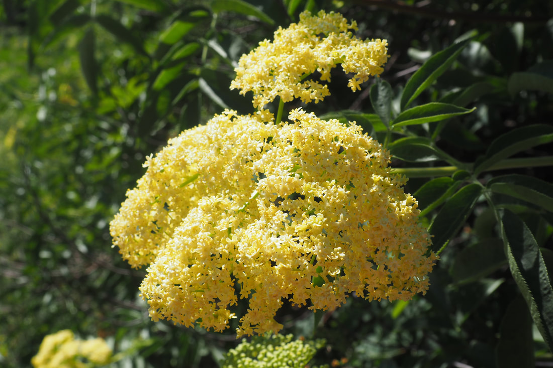
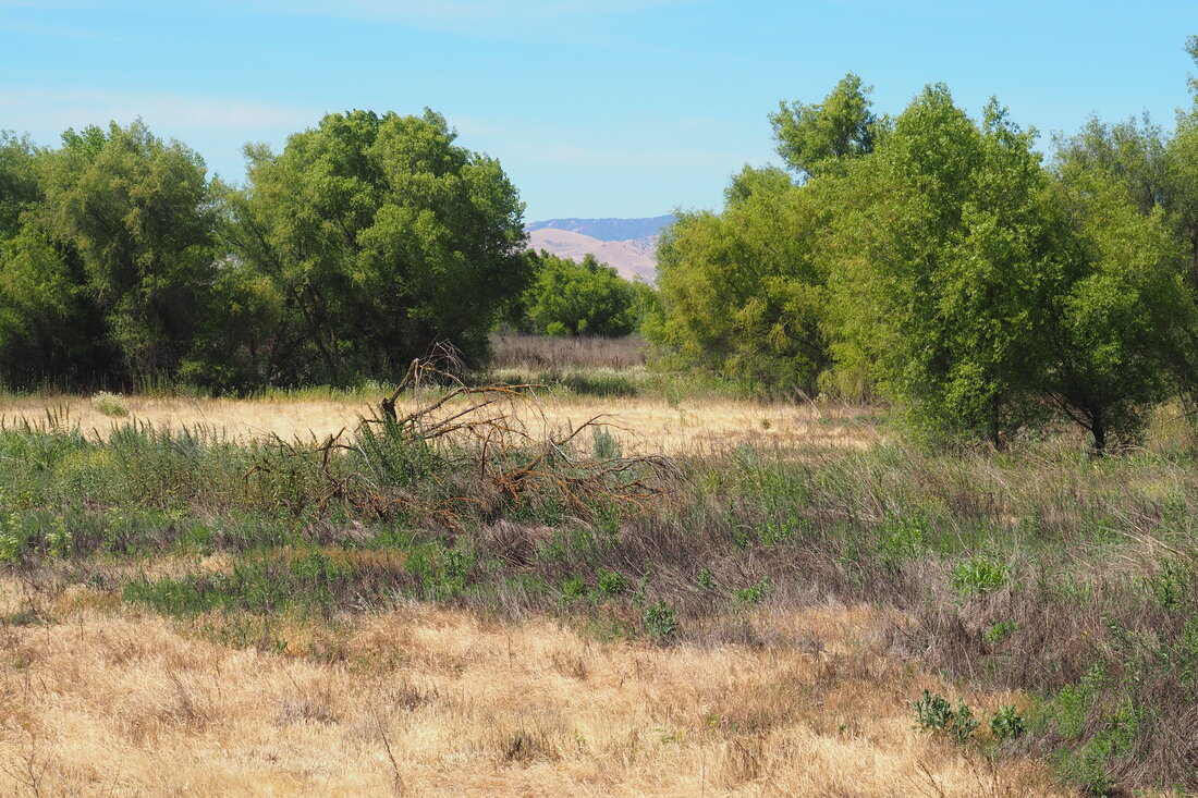
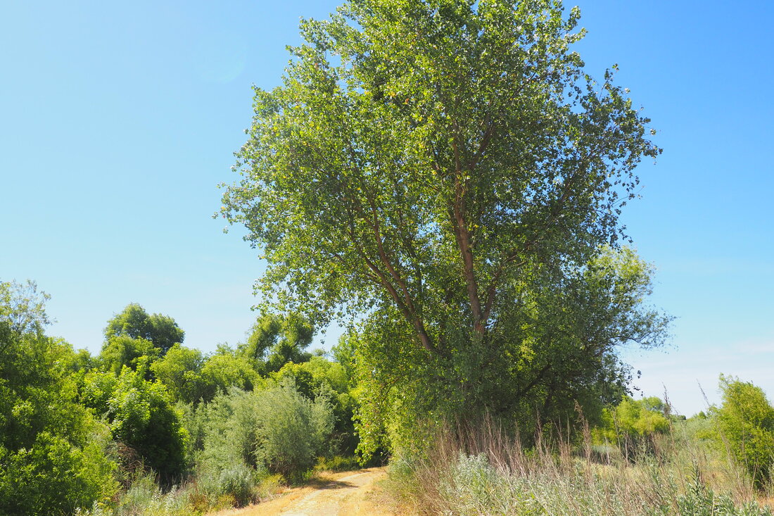
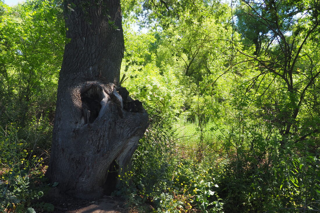
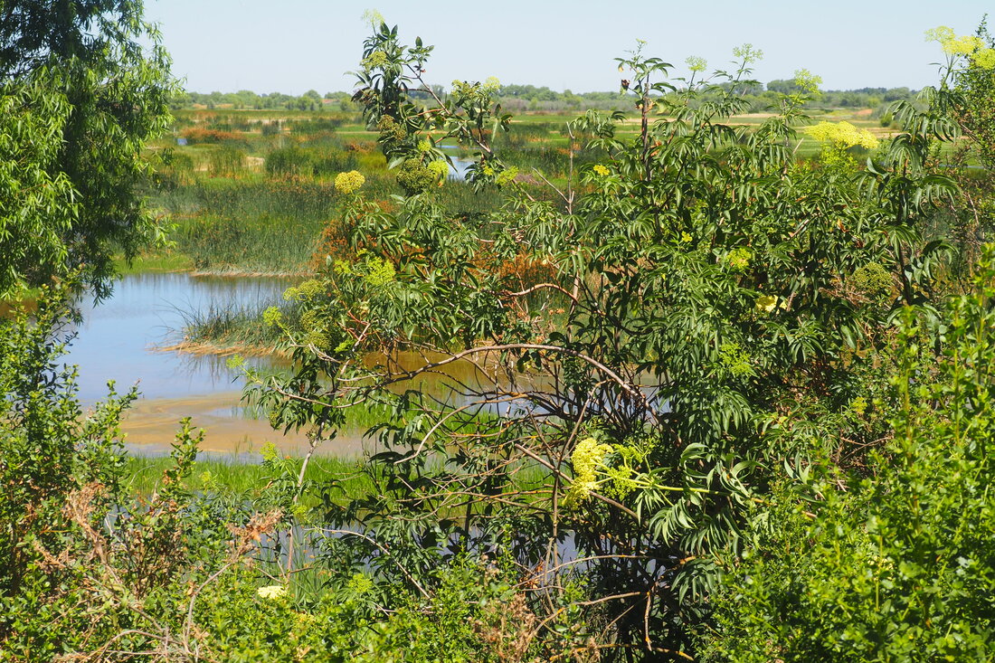
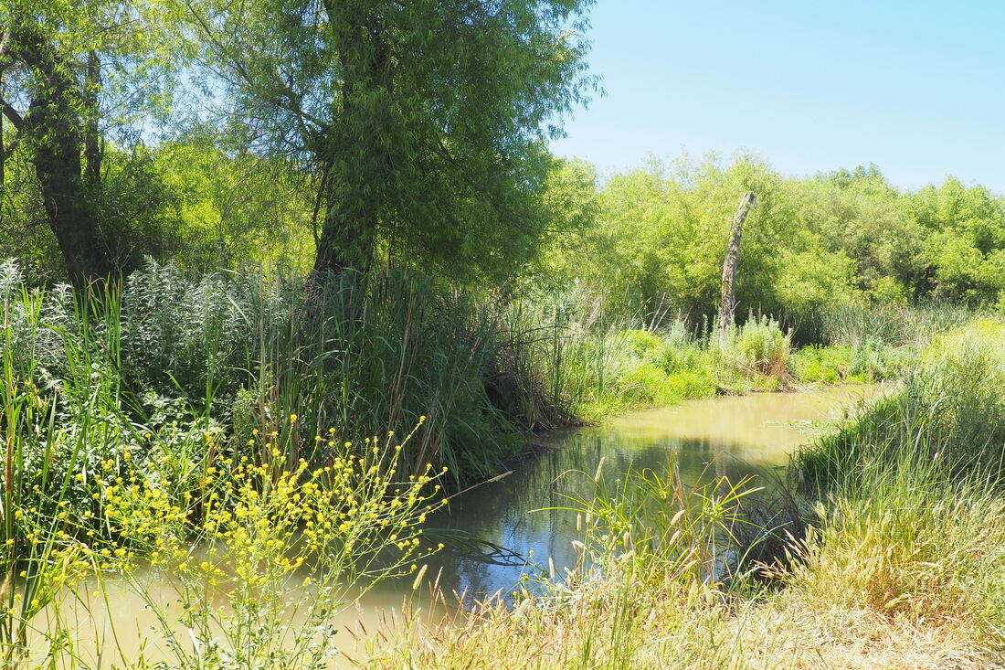
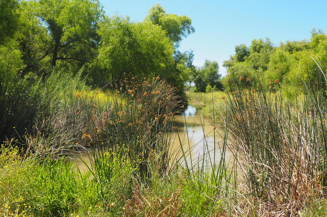
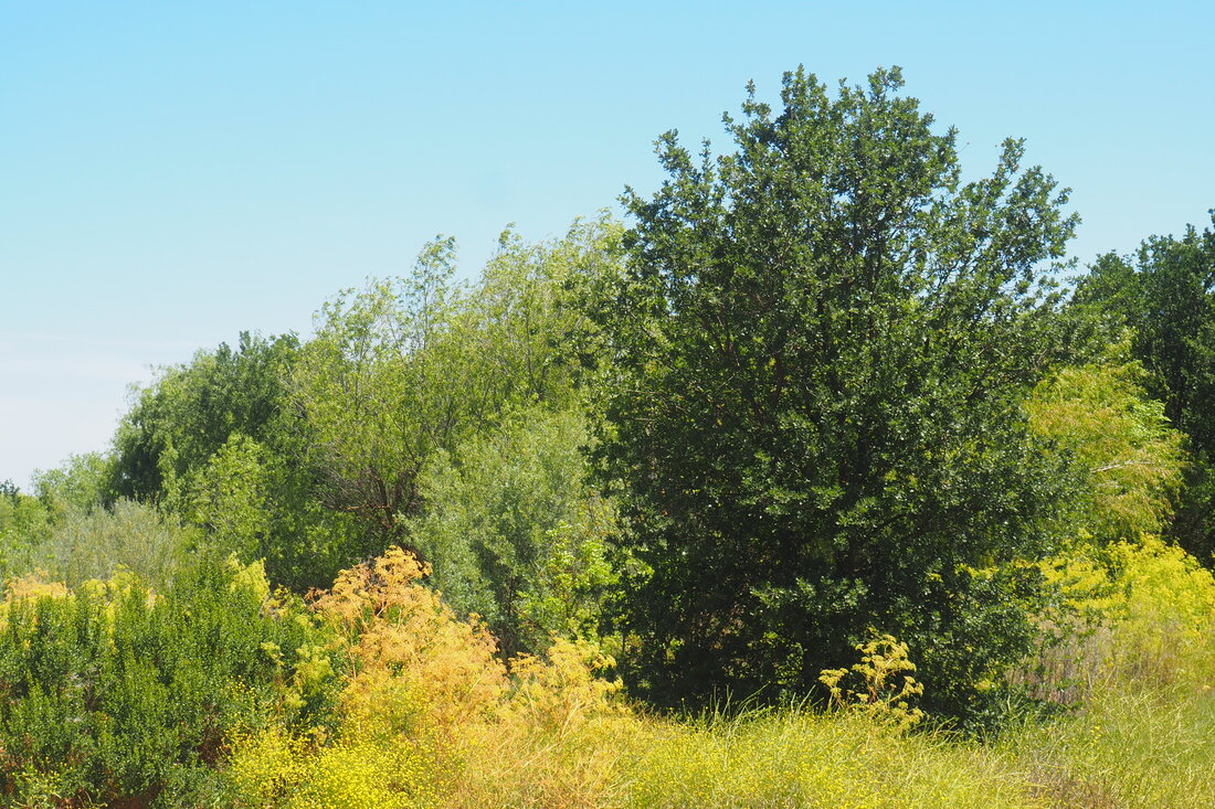
That route takes you--I think--to the seven-acre native vegetation free-roam exploration area. To get on the Pelican Trail, you have to actually go in the opposite direction of the signs that are pointing you to the "Nature Trail." On our last visit, we did eventually make our way to the Pelican Trail; however, it took a while before I figured out where we were on the map. Although it is frustrating not to know how to get to the main trail when you are new to the park, it is kind of nice to have that insider knowledge on a repeat visit. Almost everyone goes to the free-roam area, so the actual trail stays pretty empty. (Bad for first-time visitors but great for social-distancing repeat visitors?) To add further to this confusion, none of the intersections of the trails are labeled. This time, we went straight to the Riparian Loop and then used that to orient ourselves. I still think that we got a little lost. When the trail forked in three directions, we threaded the needle and went on the middle trail, which is (I think) the western side of the River Loop. The trail to the right was the eastern side of the loop and the trail to the left was the connector trail to the free-roam exploration area. But then we encountered another trail that was also not on the map. It was marked with signage as an official trail, and in retrospect I think that it was a short cut through the meadow to make a smaller loop through the River Loop. It was a little hot on this part of the trail. The western side of the River Loop is on a little levee and it catches a cool breeze. The eastern side of the loop offers more shade. The cut-through across the meadow is in the direct sun and it does not get the same breeze because it dips into the bowl of the meadow. This was the only unpleasant part of our hike on Sunday morning. It was starting to get hot around noon when we left, but the morning was really lovely. We saw riparian brush rabbits and common jack rabbits once again, and we saw a really lovely varietal of yarrow along with tree tobacco (Nicotiana glauca, link). Although this non-native plant is an invasive species, it is not something that I have noticed before. Apparently its leaves are toxic if ingested orally. Its flowers are pretty, though. They look like little trumpets. When we did retake the loop, we found a nice bench in the deep shade, and we had the most pleasant rest. I know that it will soon be too hot for me to bring my daughter here, but this seemed like a really lovely farewell to spring. I am interested to come back to this park in the fall, not only to go to Beckwith Wildlife Area observation platform to see the geese and the cranes, but also to take the unexplored trail at the fork that I mentioned above. I suspect that continuing straight to make the full loop would be a good way to see clearer views of the San Joaquin River. I suspect that our total mileage today was about 3 miles. I brought her sturdy stroller, and it was perfect for us. As long as it is not too hot, this is a great place for hiking families!
0 Comments
Leave a Reply. |
Archives
December 2020
Categories
All
|
 RSS Feed
