Lonely Hiker
  • Home
  • About
  • Regions
  • Parks
  • Trails
  • Photography

Trails

The Preserve Trail Loop at Gold Creek Open Space

5/19/2020

0 Comments

 
Picture
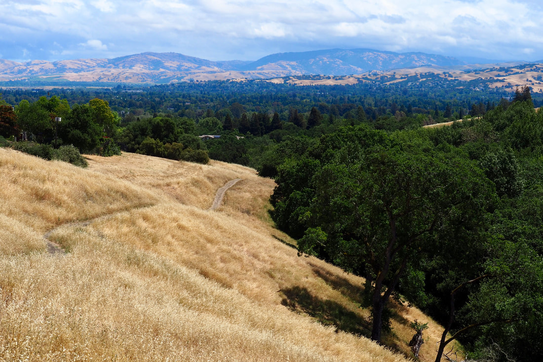
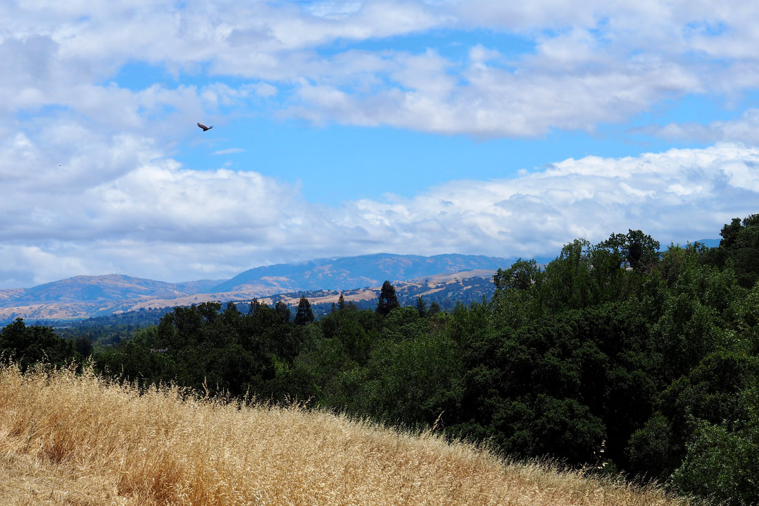
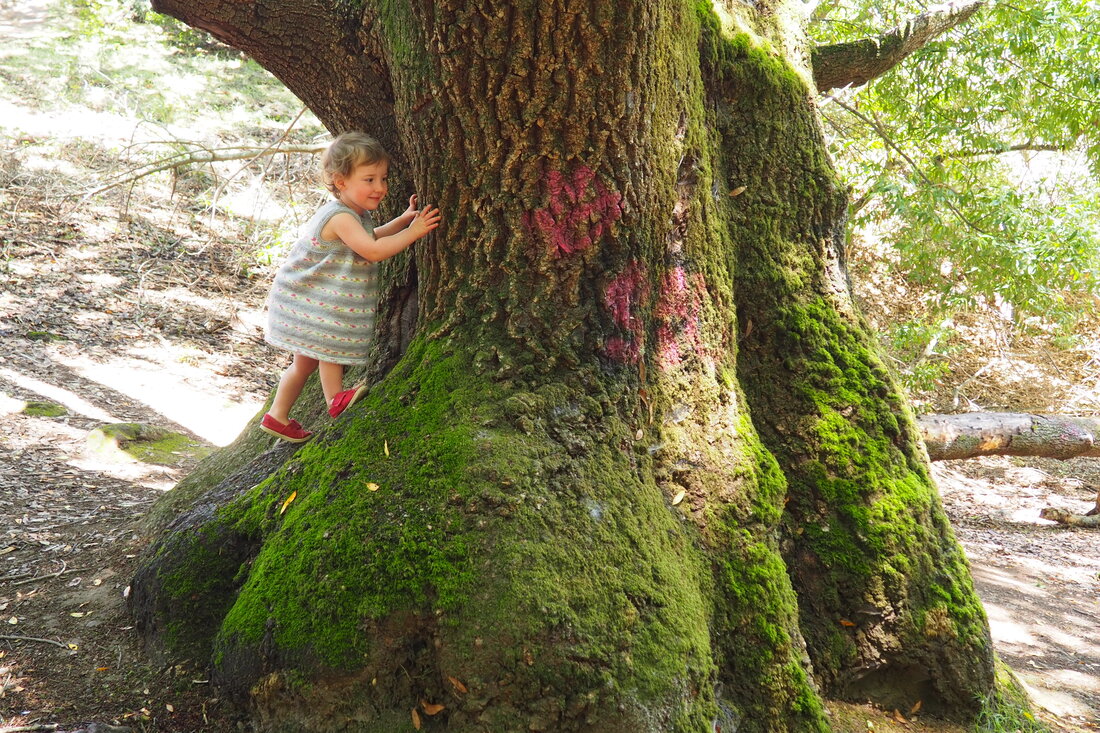
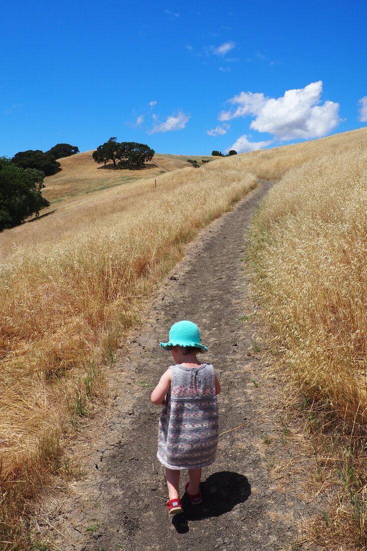
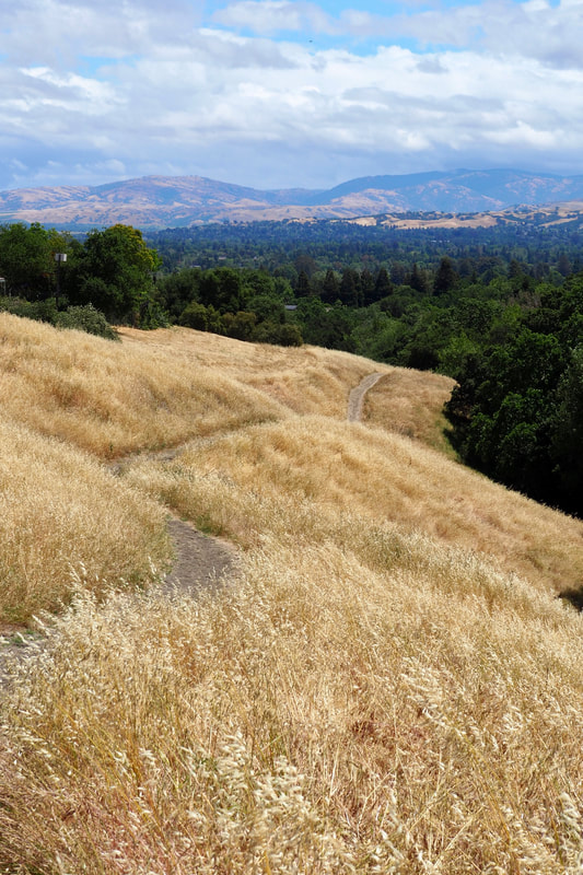
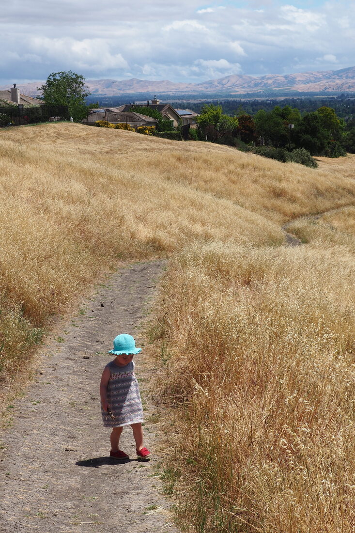
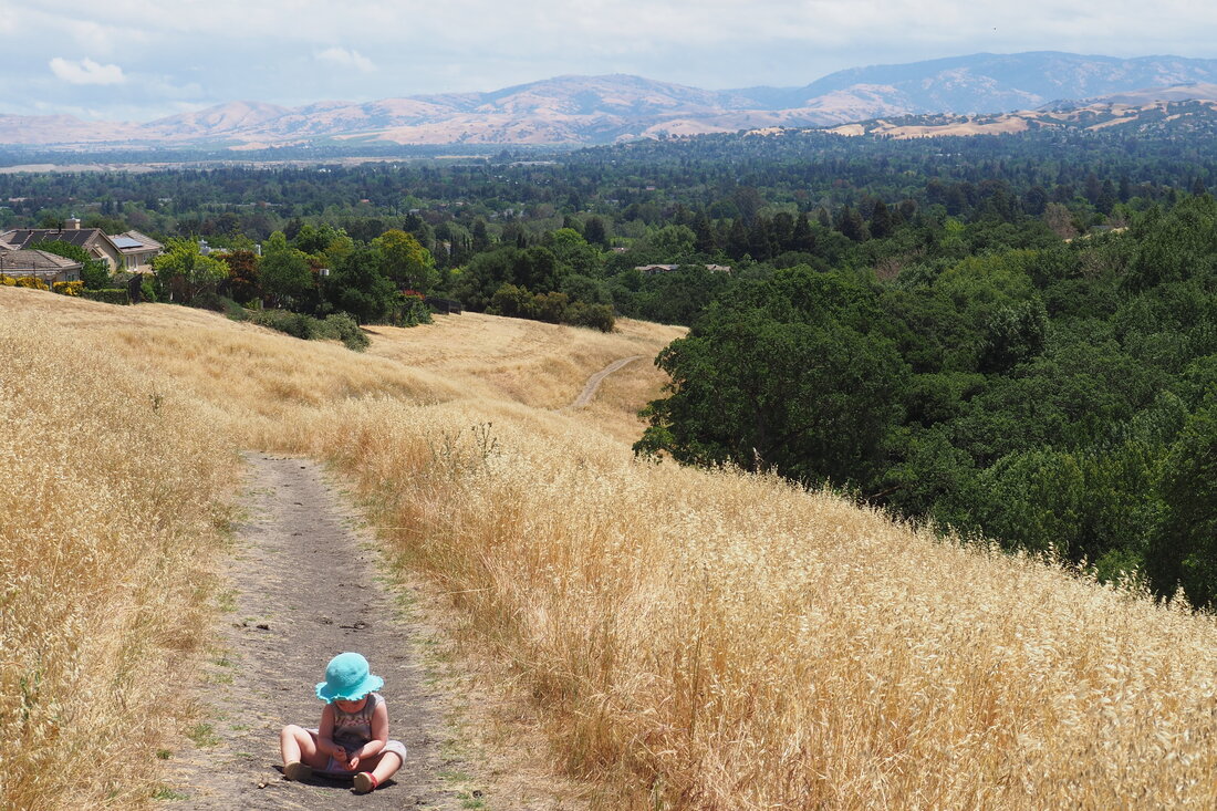
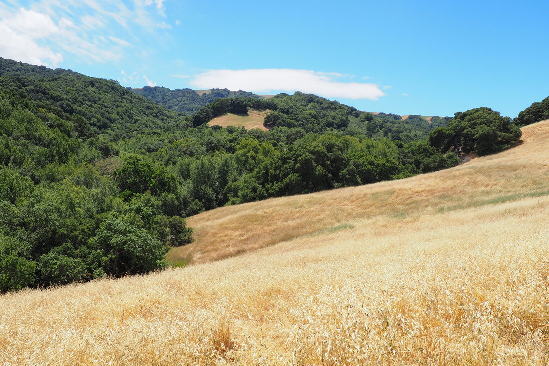
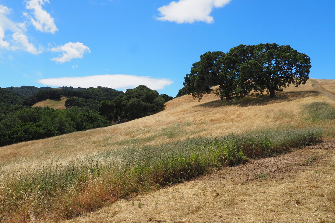
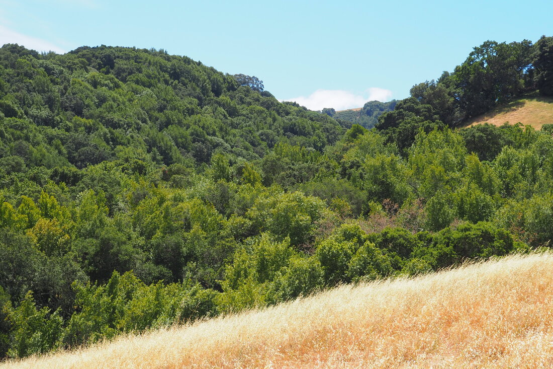
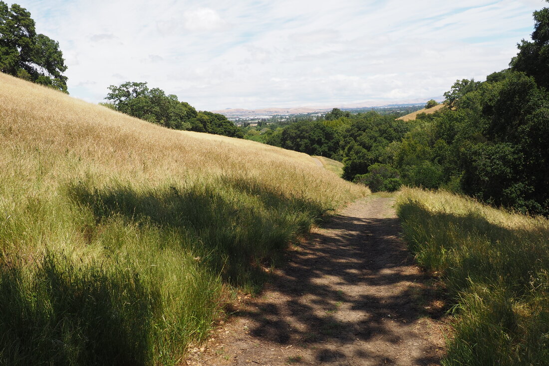
The weather has been uncharacteristically temperamental this May. It's been hot and dry, then cold-ish and wet from one day to the next. Sunday was a particularly crazy day in the Tri-Valley because it started off raining, and then cleared up but was very windy. I took advantage of the weird weather and ventured out for a weekend hike with my young daughter. The park we visited in Pleasanton, Gold Creek Open Space, was almost entirely empty. Social-distancing win! Click "read more" to read about the park and the trail.
Picture
Picture
Picture
Picture
The website for parks and recreation department in the City of Pleasanton is actually quite poor, especially if you are just looking to see what parks are available for hiking. If you already know the name of the park that you want, then you can do a google search and find a PDF brochure of the park (along with a map), but if you don't know the name of the park to begin with, then it's hard to get an overview of what's available. The best overview I can find is here, and it's at least a start.
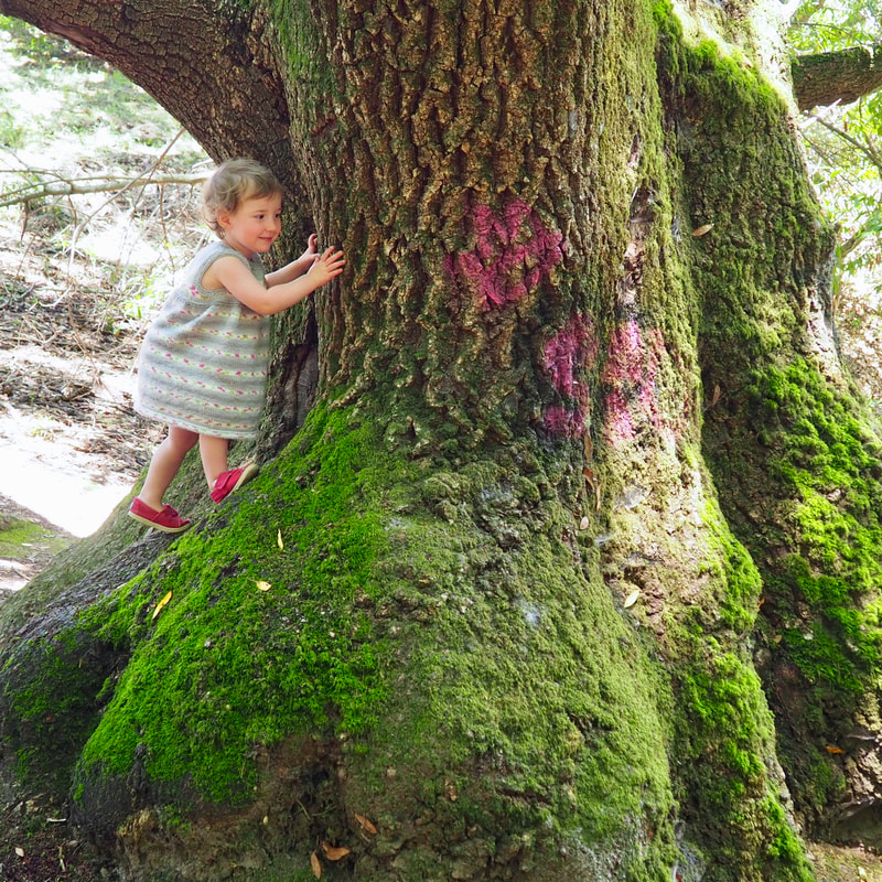
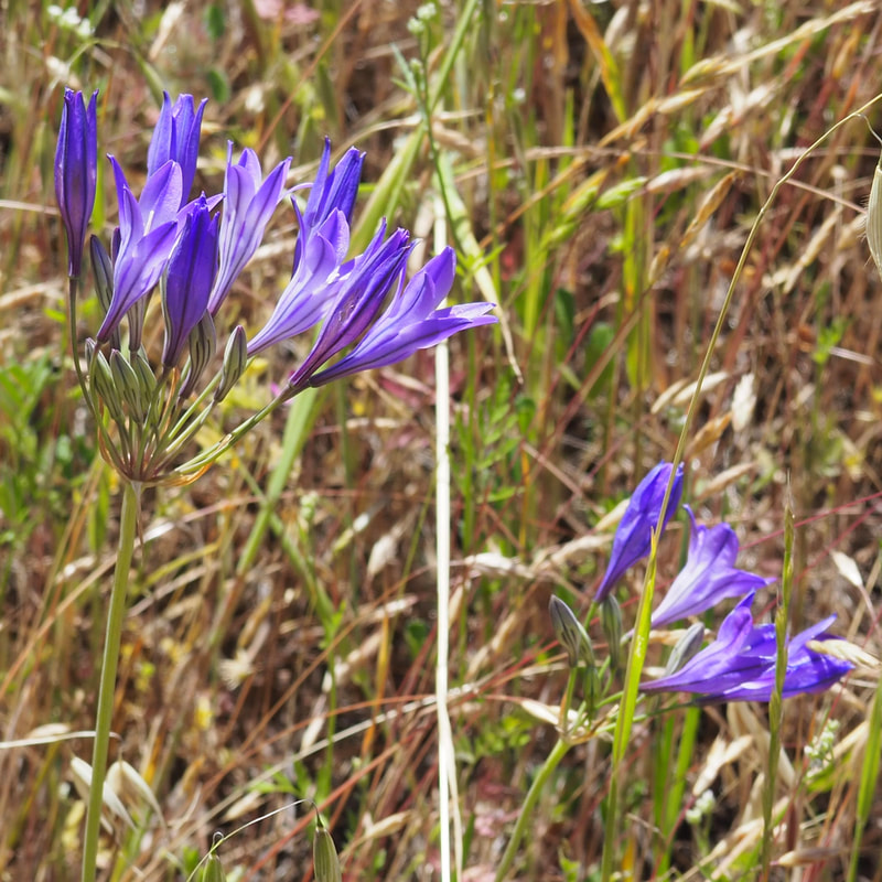
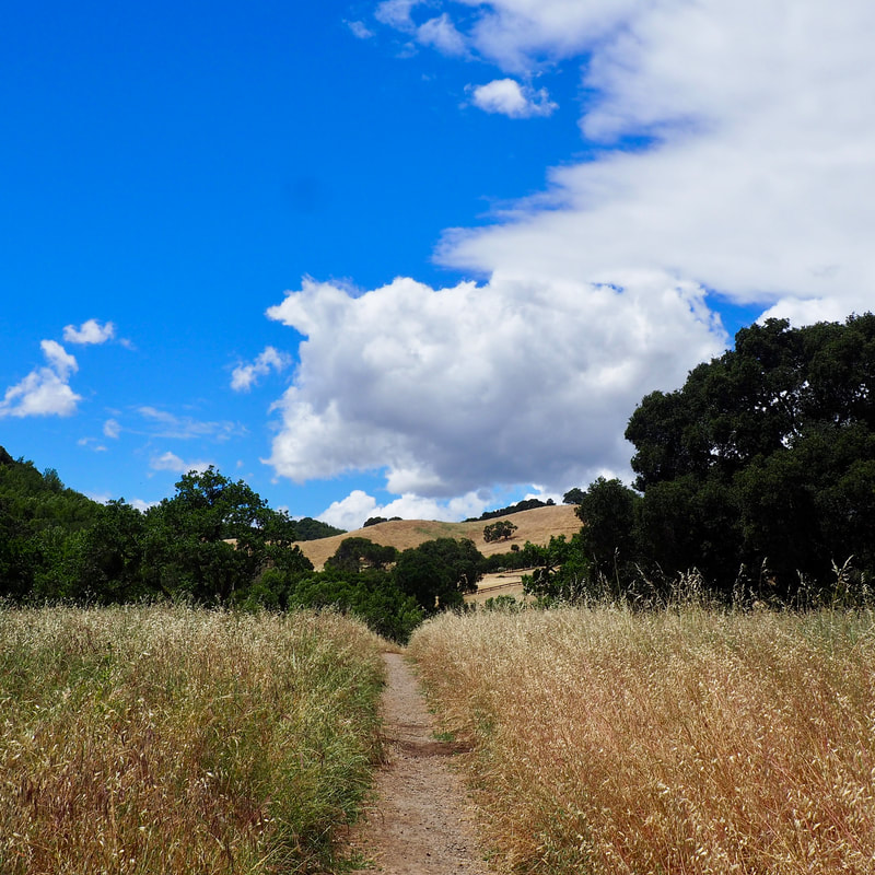
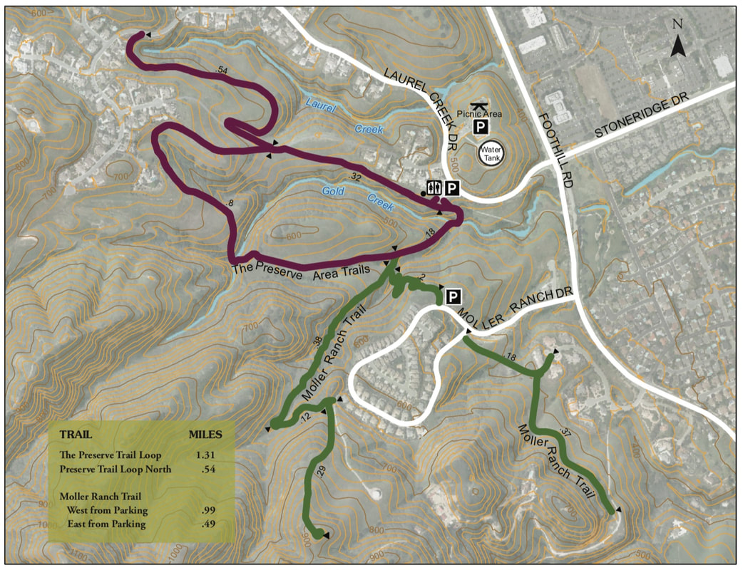
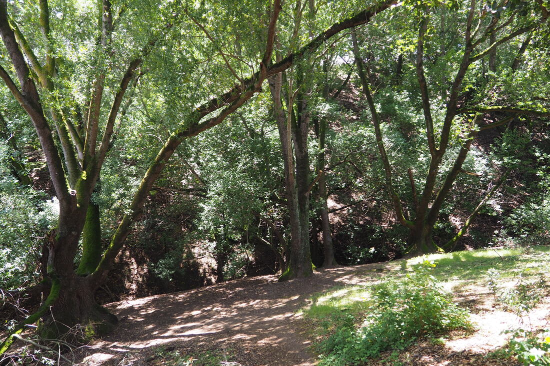
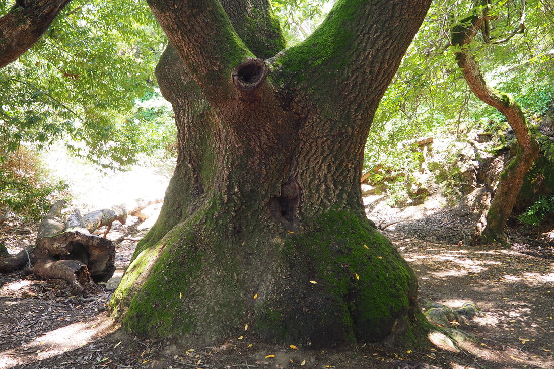
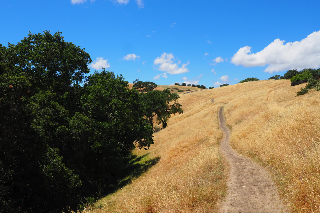
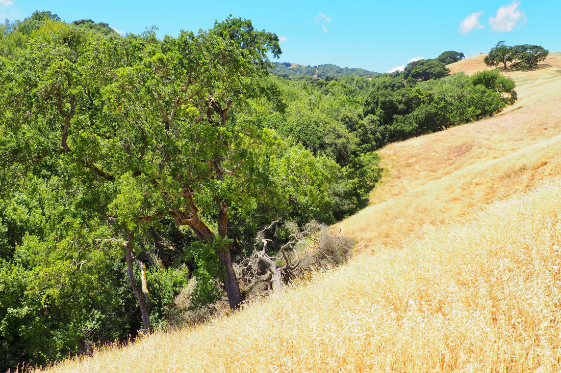
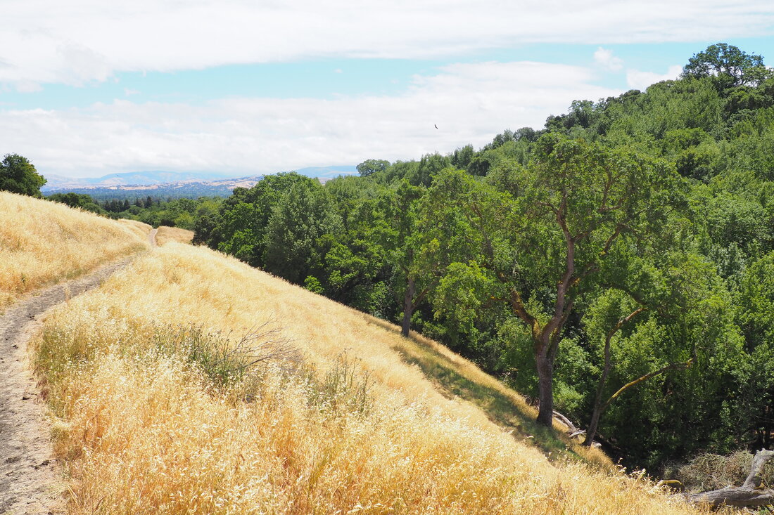
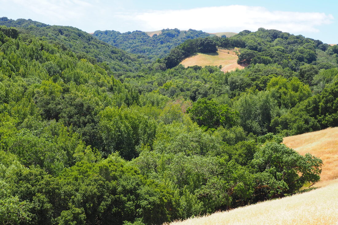
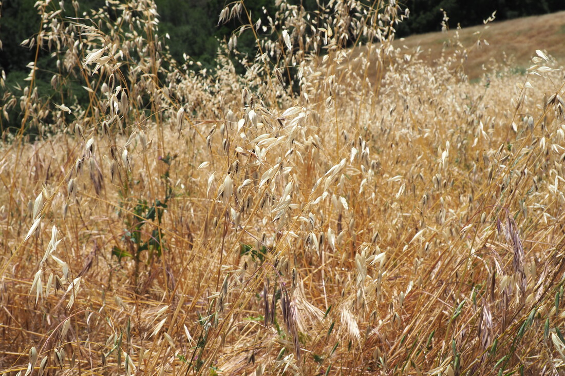
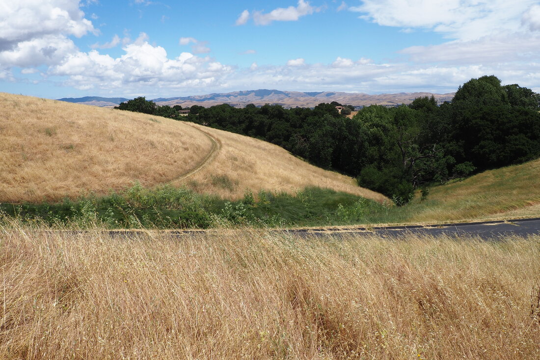
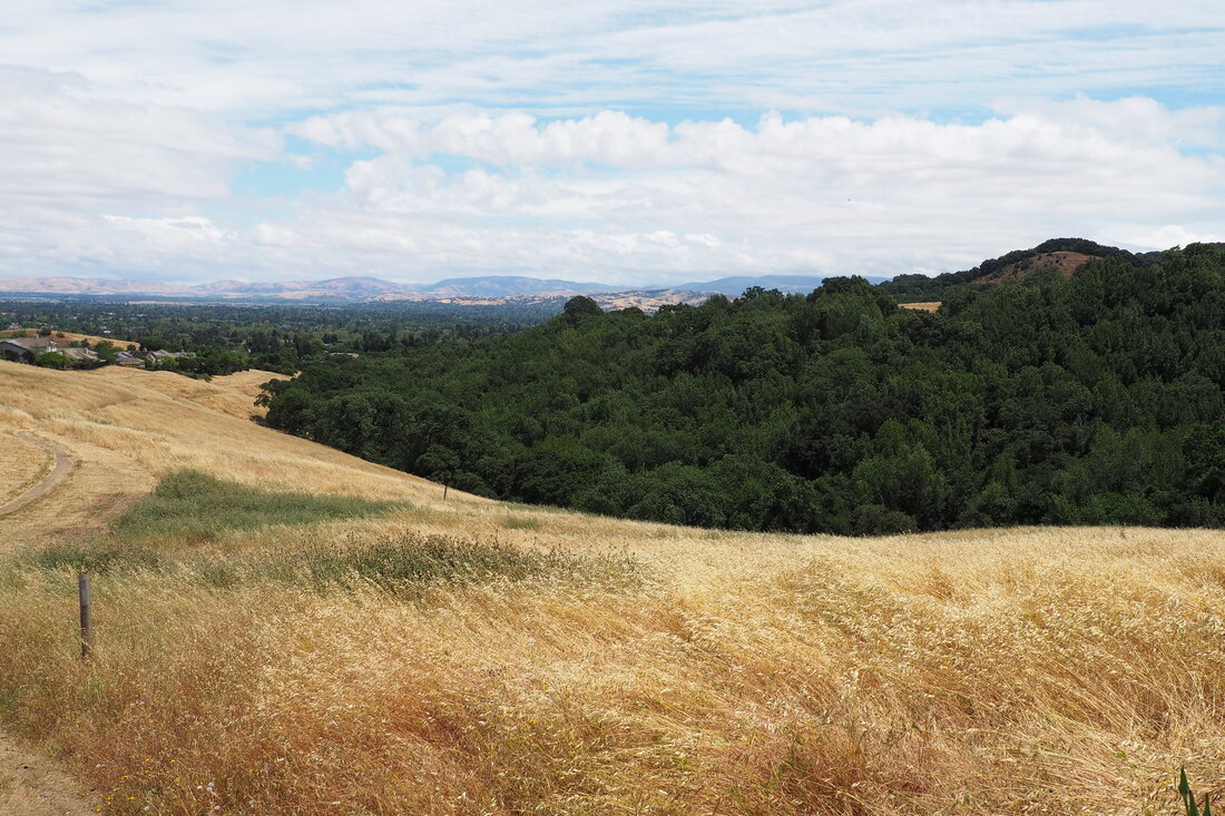
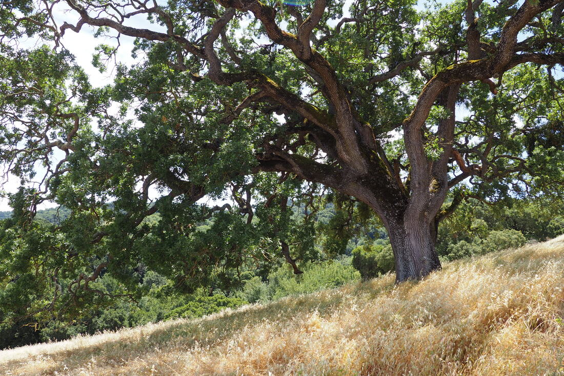
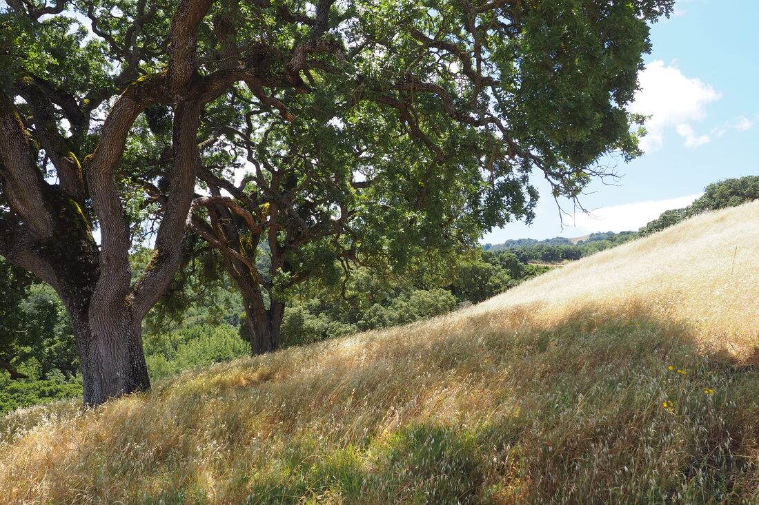
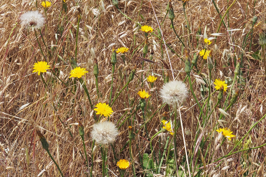
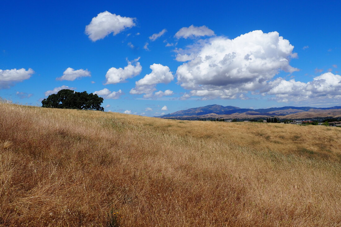
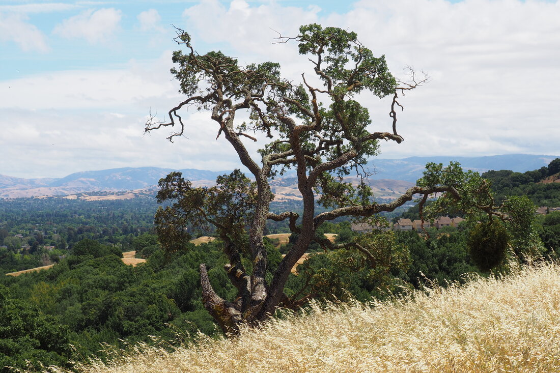
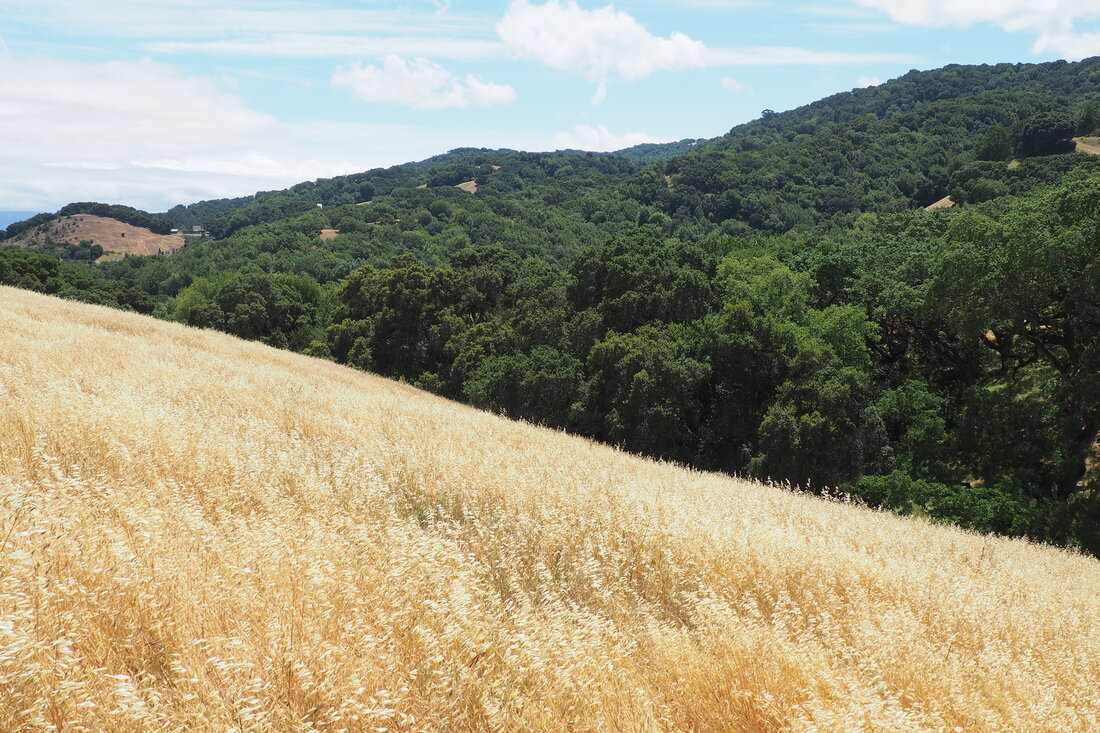
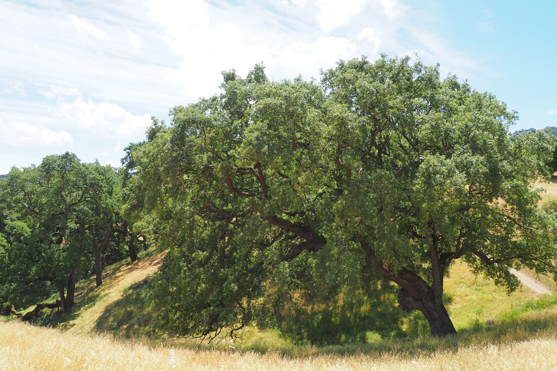
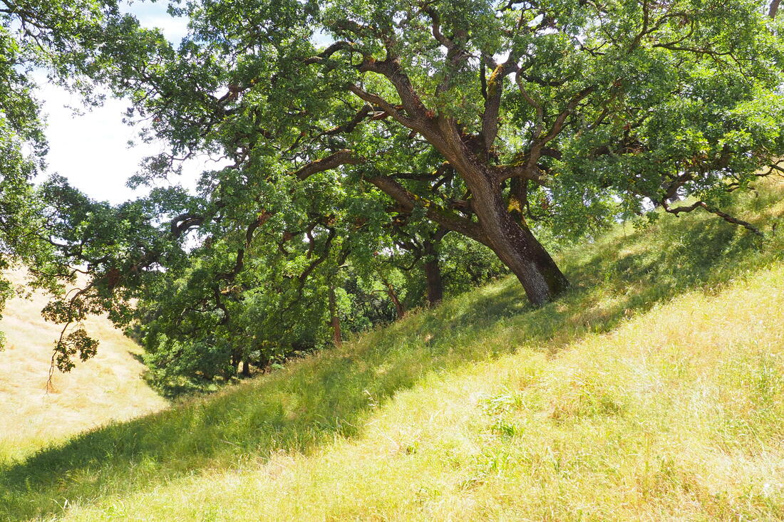
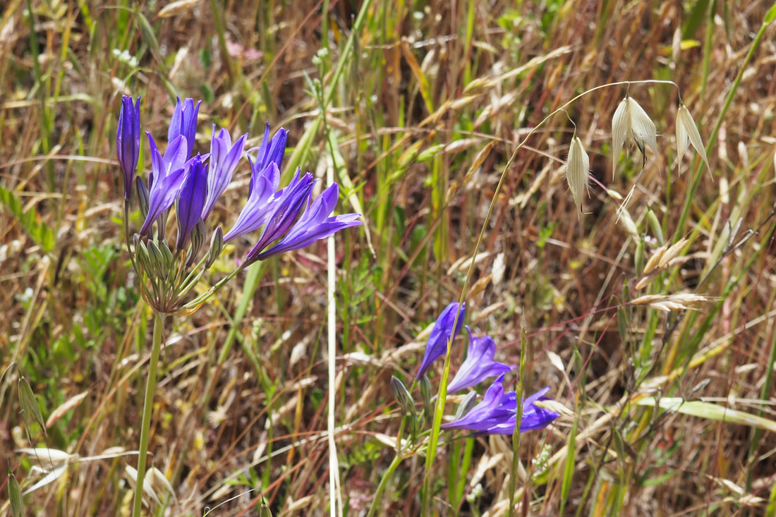
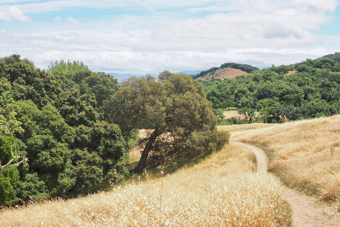
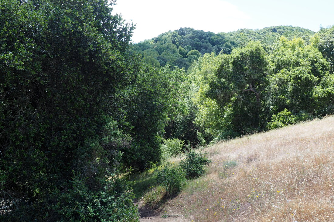
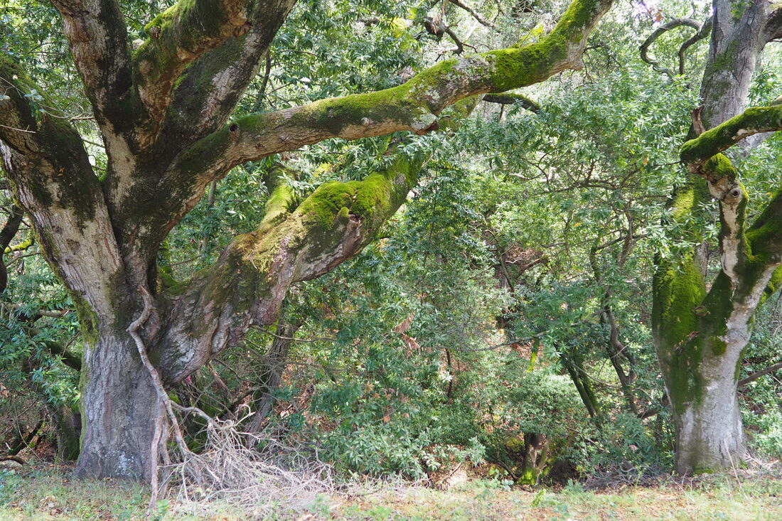
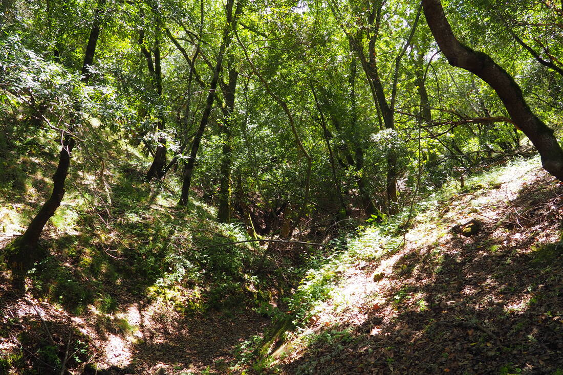
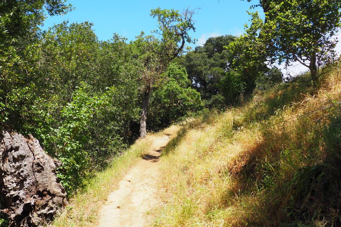
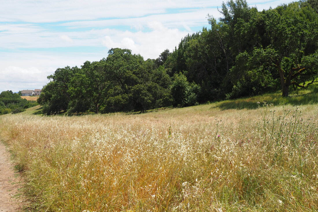
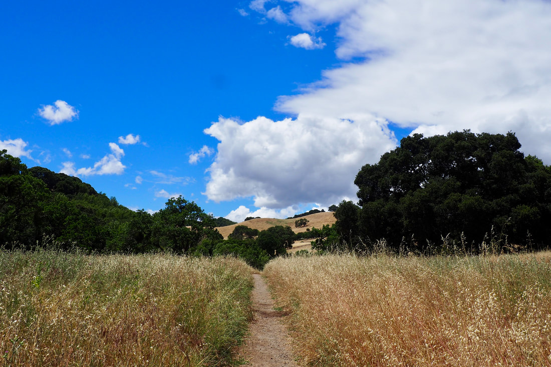
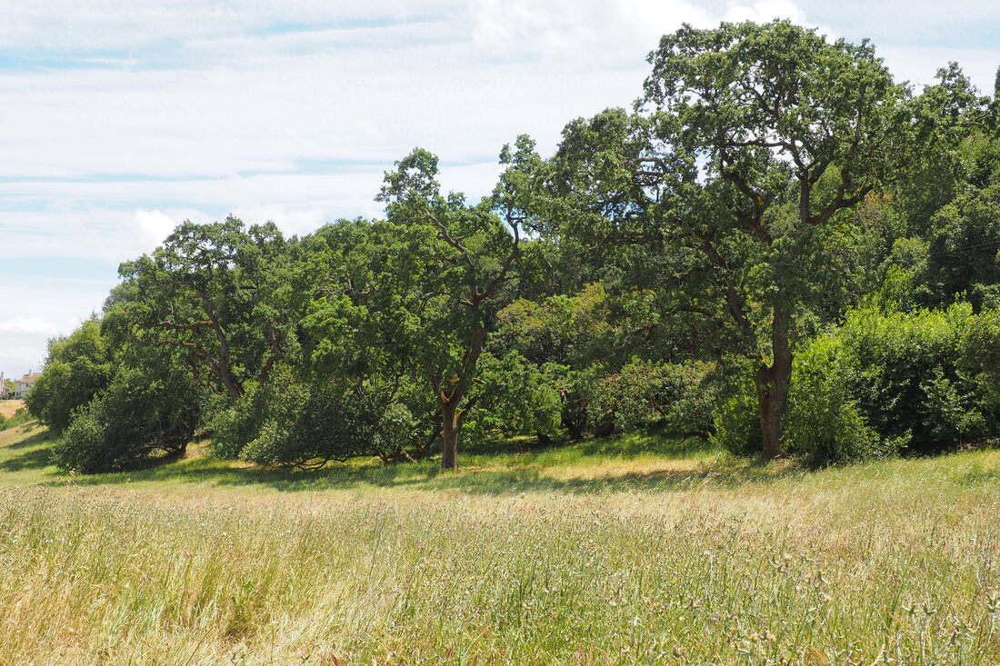
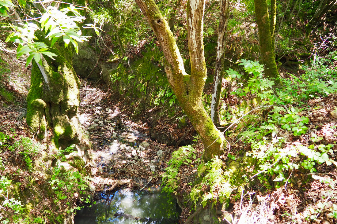
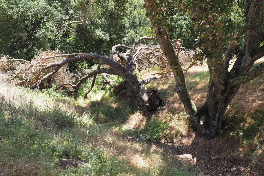
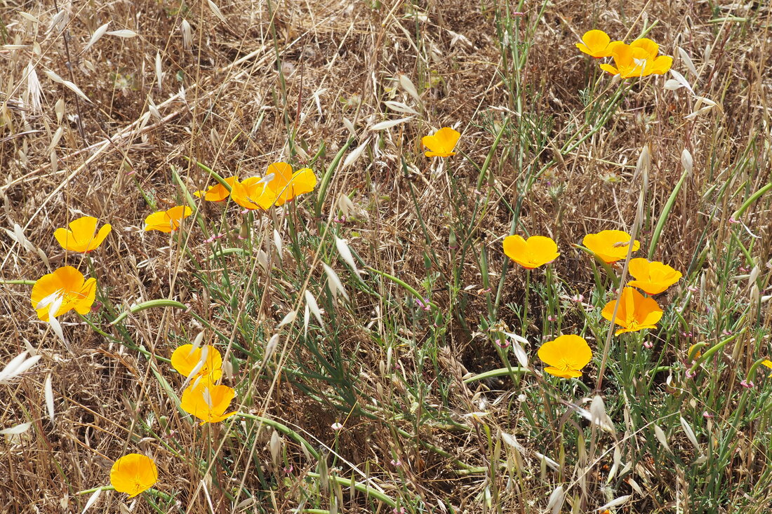
Here is the brochure for Gold Creek Open Space, titled The Preserve and Moller Ranch Trails. The brochure includes the following blurb:

The Preserve and Moller Trails are located within the 38-acre Gold Creek Open Space, a natural area south of The Preserve housing development on the west side of Foothill Road. This public open space is adjacent to additional private open space owned and operated by both The Preserve and Moller Ranch subdivisions. The Preserve Staging Area includes a paved parking lot, public restroom and trailheads. Public trails crisscrossing the open space and the restroom are open to the public year round. Gold Creek Open Space includes grassy hillsides, oak woodlands with related understory plants, seasonal creeks and springs, wooden bridges and riparian vegetation.

We had a great time on our hike of the 1.3-mile loop. We took it in a counter-clockwise direction, which I recommend. The trail starts off steep but then has a gentle grade for the downhill portion. There is a lot of direct sun along the exposed hills (so sunscreen and hats are a good idea), but there are still lots of nice shady spots along Gold Creek.

I took my toddler in the carrier, which made it doable. And there is a really nice shady spot right near the parking lot that would be good for a young child to play. But the steepness of the path would make it hard for a young child to hike on his or her own, so if your kids are too big for carriers and too little for hiking then maybe just play in the nice shady of the riparian woods by the parking lot. That would be a good way to make this a kid-friendly option. I do not think that the trails would be good for strollers.
0 Comments


Leave a Reply.

    Archives

    December 2020
    November 2020
    October 2020
    September 2020
    August 2020
    July 2020
    June 2020
    May 2020
    April 2020
    March 2020
    February 2020
    January 2020
    December 2019
    November 2019
    October 2019
    September 2019
    August 2019
    July 2019
    June 2019
    May 2019
    April 2019
    March 2019
    February 2019
    January 2019
    December 2018
    November 2018
    October 2018
    September 2018
    August 2018
    July 2018
    June 2018
    May 2018
    April 2018
    March 2018
    February 2018
    January 2018
    November 2017
    October 2017
    September 2017
    August 2017
    April 2017
    March 2017
    February 2017
    January 2017
    November 2016
    October 2016
    September 2016
    August 2016
    July 2016
    June 2016
    May 2016
    April 2016
    March 2016
    February 2016
    January 2016
    December 2015
    November 2015
    October 2015
    September 2015

    Categories

    All
    Art Expedition
    Bay Laurel Trees
    Bayside
    Beaches
    Berkeley City Parks
    Bureau Of Reclamation
    Camping
    Cliffs
    Coastside
    Contra Costa Water District
    Creeks
    Deserts
    East Bay Municipal Utility District
    East Bay Regional Park District
    EBRPD Trails Challenge
    Eucalyptus
    Flat Hikes
    Gulf Coast Family Vacation
    Historical Sites
    Kid Friendly
    Lakes
    LARPD
    Length: 10 To 15 Miles
    Length: 15+ Miles
    Length: 1 To 5 Miles
    Length: 5 To 10 Miles
    Madrones
    Manzanita
    Maples
    Marin County Parks
    Midpeninsula Regional Open Space Preserves
    Mountains
    Museums
    National Forest Service
    National Parks
    National Wildlife Refuge
    Oakland City Parks
    Oaks
    Palo Alto & Atherton Parks
    Peninsula Open Space Trust
    Pleasanton City Parks
    Portola Valley Town Trails
    Redwoods
    Rocks
    San Francisco City Parks
    San Mateo County Parks
    Santa Clara County Parks
    Santa Cruz City Parks
    Sierras
    Stanford
    State Parks
    Swimming Holes
    Sycamores
    Trains
    Tri-Valley
    UC Berkeley
    UC Davis
    Walnut Creek Parks
    Wetlands
    Wildflowers
    Wildlife
    Zoos Farms & Wildlife Preserves

    RSS Feed

Powered by Create your own unique website with customizable templates.
  • Home
  • About
  • Regions
  • Parks
  • Trails
  • Photography