Lonely Hiker
  • Home
  • About
  • Regions
  • Parks
  • Trails
  • Photography

Trails

Three parks from the past

2/26/2020

0 Comments

 
Picture
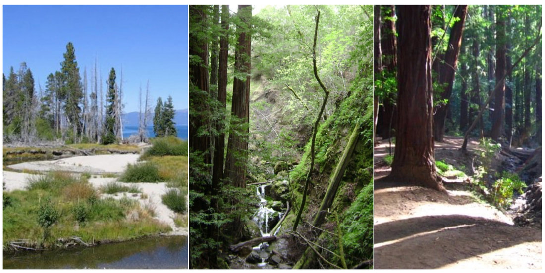
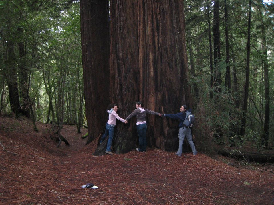
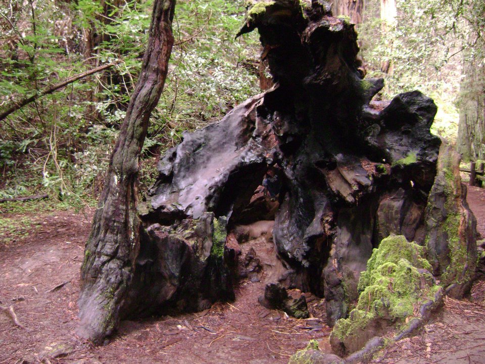
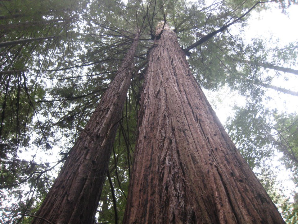
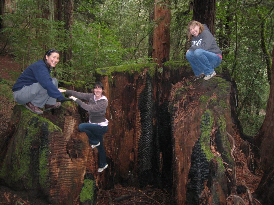
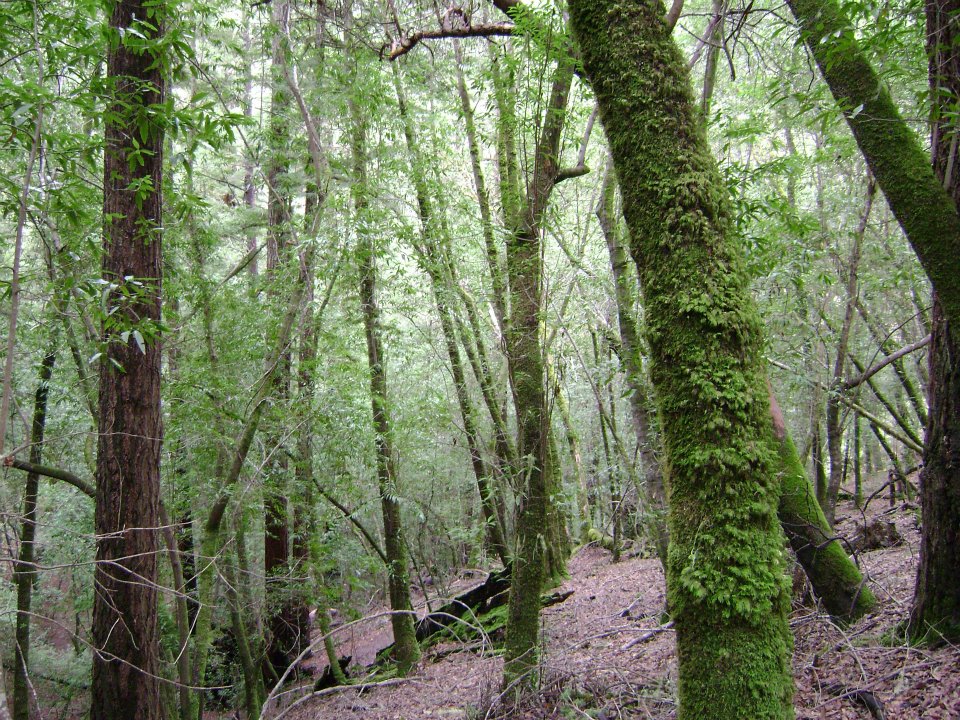
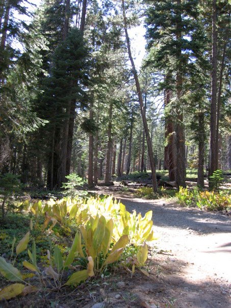
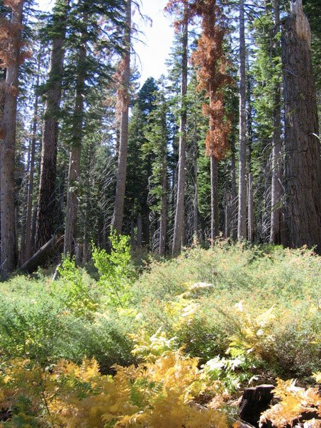
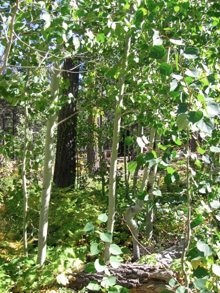
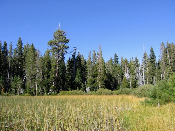
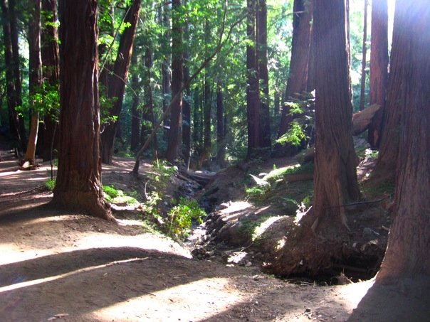
I've been working on building a landing page for all of the California State Parks that I have visited, and in sorting through the many parks of Northern California, I started to notice that there were several parks that I visited many years ago that have not made it into my blog. Although I do have photos from those trips, they are from older cameras and the quality of the images is not as good as the camera I am using now. So this is a single post to remember three trips from years past: 1) Armstrong Redwoods State Natural Reserve (in Guerneville), 2) Ed Z'berg Sugar Pine Point State Park (in Tahoe), and 3) Pfeiffer Big Sur State Park (in Big Sur). The photos are not as good as what I can do now, but the memories of these places sure are powerful and dear.

Armstrong Redwood State Natural Reserve

Picture
I visited this park with three very good friends from grad school when we had a girls' weekend in wine country over spring break in late March-early April of 2012. We stayed in Healdsburg and mostly kept to wine tasting, but I did convince the ladies that we should go for a hike one morning before we started tasting. So we made the short drive from Healdsburg to Guerneville to see this lovely park. We made a loop from the parking lot near Burbank Circle down on the Pioneer Nature Trail back towards the entrance kiosk and then up East Ridge Trail to the waterfall. Then down the ridge towards the volunteer office and maintenance area, where we rejoined the Pioneer Nature Trail and then over to the Armstrong Nature Trail and the Discovery Trail to see the Colonel Armstrong Tree and complete our loop.

The loop was about 3-3.5 miles and had some elevation gain, but nothing too, too serious.
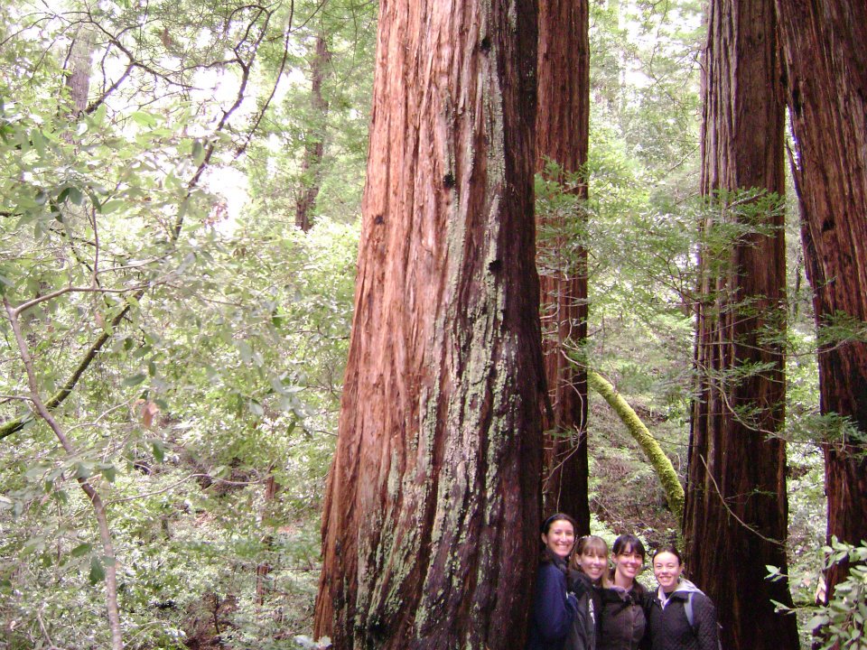
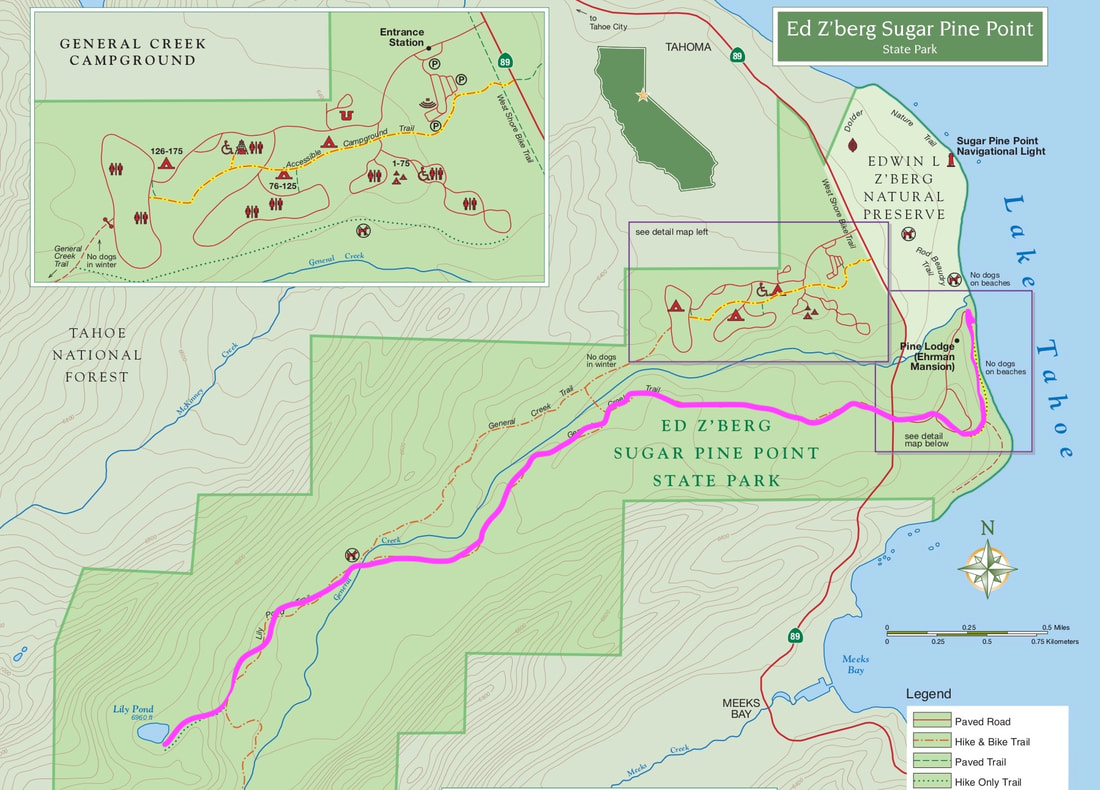
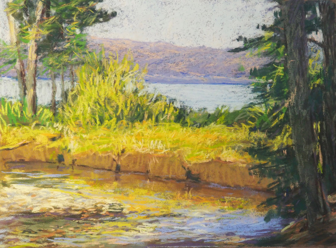
It was a moderate but beautiful hike: the perfect way to start a day of wine-tasting. Although I want to come back here, it won't be the same without these wonderful ladies!

Ed Z'berg Sugar Pine Point State Park

Picture
This trip to Ed Z'berg Sugar Pine Point State Park happened in October of 2010, when my mom was visiting my husband and me back when we still lived in Sacramento. We made a day trip to Tahoe because my mom had either never been before or had not been in a very long time. I believe that we didn't really plan our trip out ahead of time, and we picked this park on a whim.
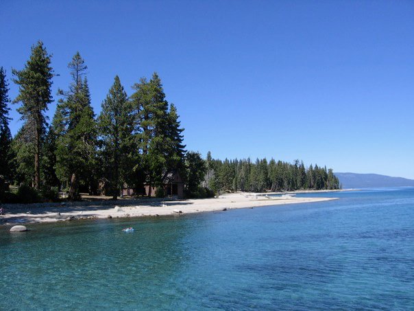
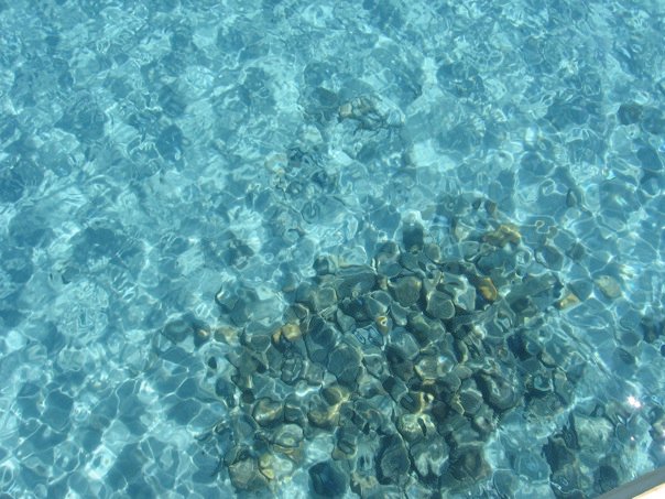
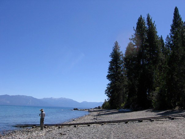
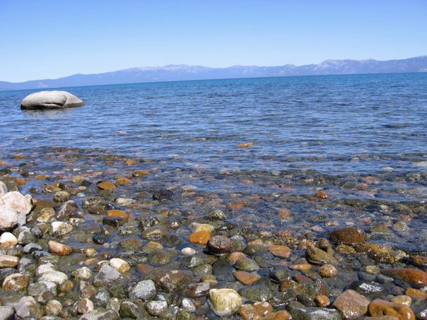
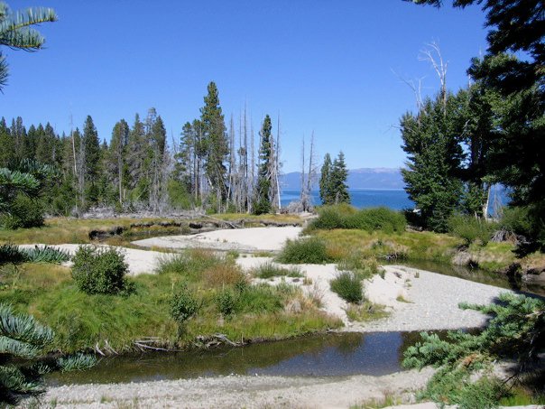
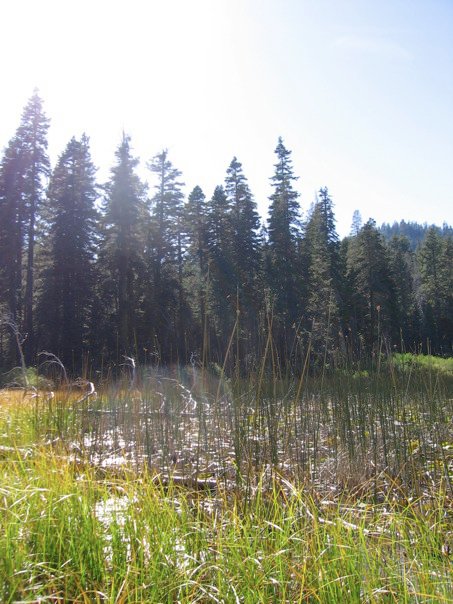
We got lucky, because it was a perfect place for our day trip: gorgeous views, fun hikes, and no crowds (in October).
My mom stayed by the lake shore, right by where General Creek emptied out into the lake, near the Hellman-Ehrman Mansion. She stayed back to do a pastel of the landscape (a photograph of her pastel is to the right). While she worked, my husband and I hiked the General Creek Trail to Lily Pond. You can access the trail either from the campground or from  the shoreline area of the park, and you can do an in-and-out hike or make a loop.
Picture
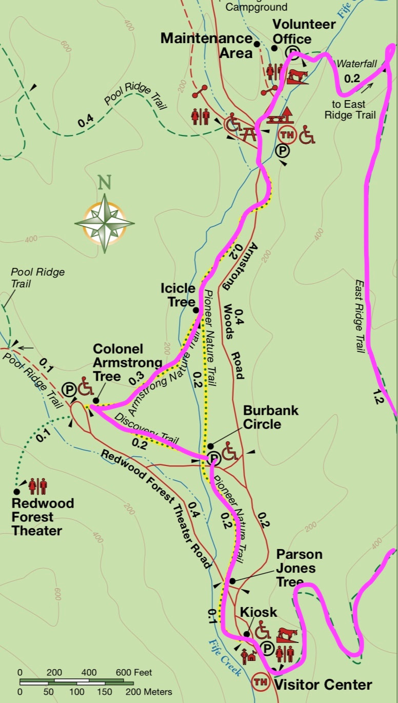
It's about 3 miles (maybe a little more) in either configuration, and the whole trail is quite flat.

If you start from the campground side, you will learn about the Olympic events that were hosted in this park during the 1960 Winter Olympics. I believe that this park might be visited more heavily in the winter by cross-country skiers, but in October it was just a peaceful, heavenly spot to visit. In my memory, we saw more beavers than people that day; who knows if my memory is at all accurate on this point. Maybe I will just have to return to verify if my memory is playing tricks on me and glossing over reality for fantasy.

Pfeiffer Big Sur State Park

Picture
Finally, this last trip down memory lane is of a camping trip that my mom, husband, and I had in July of 2009. We went to Pfeiffer Big Sur State Park in Big Sur, which served as our base to explore several other parks such as Julia Pfeiffer Burns and Andrew Molera.

Although I have been back to both of those parks since I started writing this blog (and I therefore have higher quality photos), I somehow have missed returning to photograph this lovely campground.
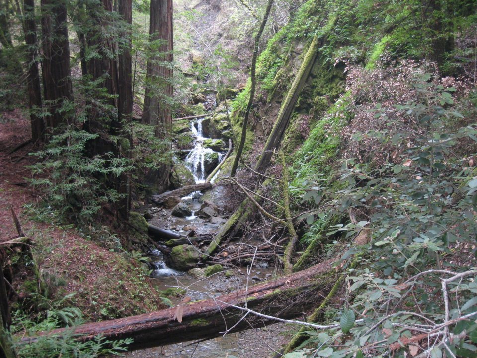
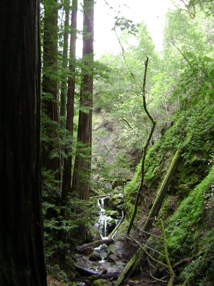
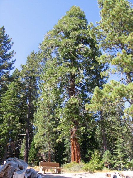
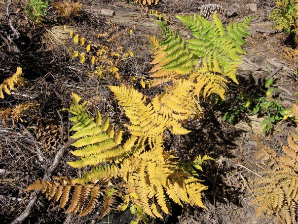
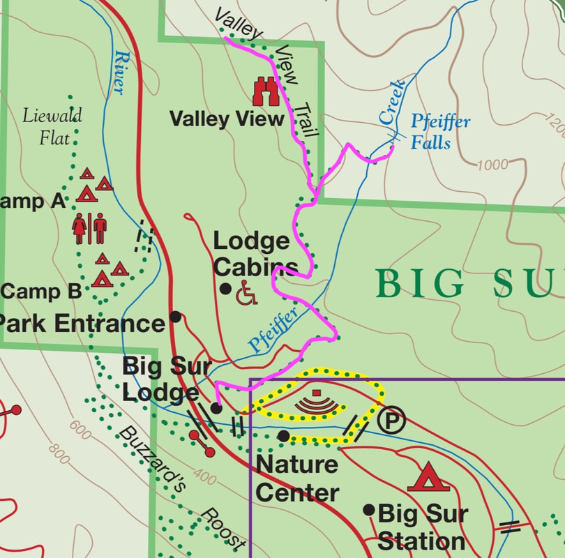
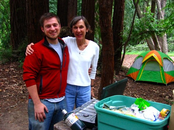
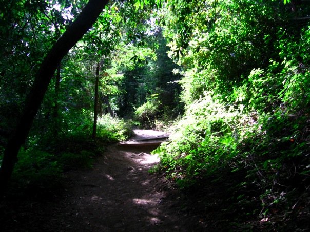
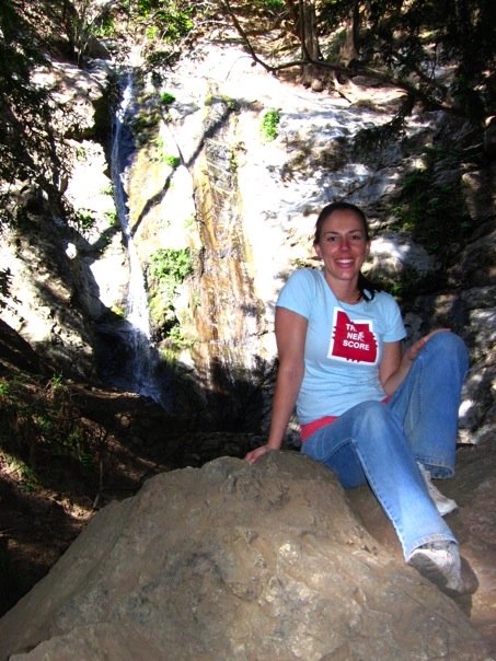
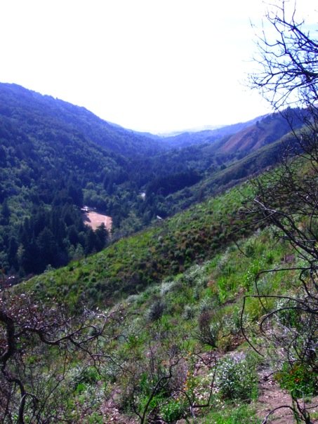
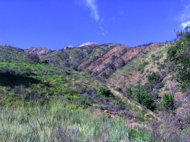
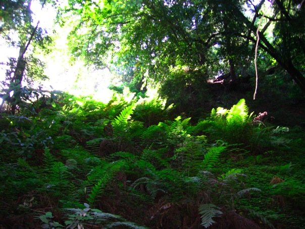
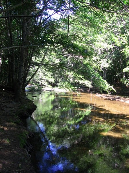
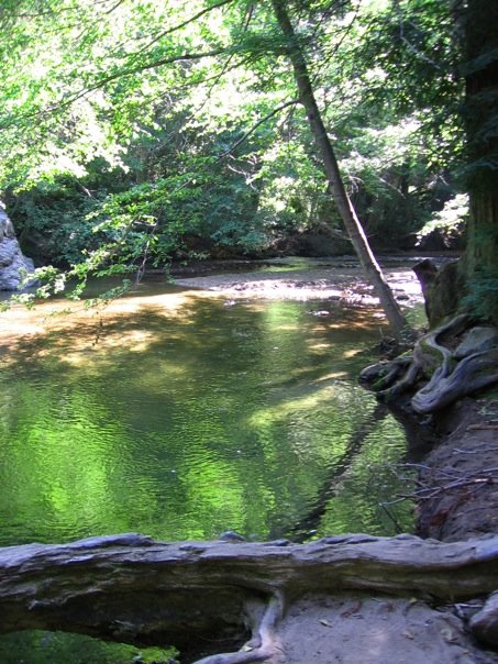
I do remember that we *loved* our campsite (site 41), and that we had a marvelous time exploring both the redwoods of the park and the Big Sur River, which went by our site.

While my mom stayed back to do a watercolor of the Big Sur River, my husband and I hiked the Valley View and Pfeiffer Falls Trail, which is an in-and-out trail that is about 2 miles round-trip.

The following is a description of the hike from the state park's website: Climb a moderate-strenuous 750 feet through a Redwood and Oak woodland to a fork in the trail. Take the left fork to the Valley View Overlook, where you will be rewarded with a tremendous view of the Big Sur River Valley, Pt. Sur and Andrew Molera State Park. Backtrack and take the right fork for a view of Pfeiffer Falls, a 60-foot waterfall.

The photos of the waterfall don't do it justice. I remember it being very lovely. And also, there had been a fire along the Valley View trail. As the landscape was bouncing back, it was transitioning through a chaparral stage--the exposed ridge was sunnier, warmer, and drier than I was expecting. And the views of Andrew Molera were specifically the views of beautiful Pico Blano. It was really cool to see it from a totally different angle than I am used to seeing.

It's hard to believe that this was over 10 years ago! I think it is going to be time to go camping again real soon. Especially if my daughter is starting to get the hang of it.
0 Comments


Leave a Reply.

    Archives

    December 2020
    November 2020
    October 2020
    September 2020
    August 2020
    July 2020
    June 2020
    May 2020
    April 2020
    March 2020
    February 2020
    January 2020
    December 2019
    November 2019
    October 2019
    September 2019
    August 2019
    July 2019
    June 2019
    May 2019
    April 2019
    March 2019
    February 2019
    January 2019
    December 2018
    November 2018
    October 2018
    September 2018
    August 2018
    July 2018
    June 2018
    May 2018
    April 2018
    March 2018
    February 2018
    January 2018
    November 2017
    October 2017
    September 2017
    August 2017
    April 2017
    March 2017
    February 2017
    January 2017
    November 2016
    October 2016
    September 2016
    August 2016
    July 2016
    June 2016
    May 2016
    April 2016
    March 2016
    February 2016
    January 2016
    December 2015
    November 2015
    October 2015
    September 2015

    Categories

    All
    Art Expedition
    Bay Laurel Trees
    Bayside
    Beaches
    Berkeley City Parks
    Bureau Of Reclamation
    Camping
    Cliffs
    Coastside
    Contra Costa Water District
    Creeks
    Deserts
    East Bay Municipal Utility District
    East Bay Regional Park District
    EBRPD Trails Challenge
    Eucalyptus
    Flat Hikes
    Gulf Coast Family Vacation
    Historical Sites
    Kid Friendly
    Lakes
    LARPD
    Length: 10 To 15 Miles
    Length: 15+ Miles
    Length: 1 To 5 Miles
    Length: 5 To 10 Miles
    Madrones
    Manzanita
    Maples
    Marin County Parks
    Midpeninsula Regional Open Space Preserves
    Mountains
    Museums
    National Forest Service
    National Parks
    National Wildlife Refuge
    Oakland City Parks
    Oaks
    Palo Alto & Atherton Parks
    Peninsula Open Space Trust
    Pleasanton City Parks
    Portola Valley Town Trails
    Redwoods
    Rocks
    San Francisco City Parks
    San Mateo County Parks
    Santa Clara County Parks
    Santa Cruz City Parks
    Sierras
    Stanford
    State Parks
    Swimming Holes
    Sycamores
    Trains
    Tri-Valley
    UC Berkeley
    UC Davis
    Walnut Creek Parks
    Wetlands
    Wildflowers
    Wildlife
    Zoos Farms & Wildlife Preserves

    RSS Feed

Powered by Create your own unique website with customizable templates.
  • Home
  • About
  • Regions
  • Parks
  • Trails
  • Photography