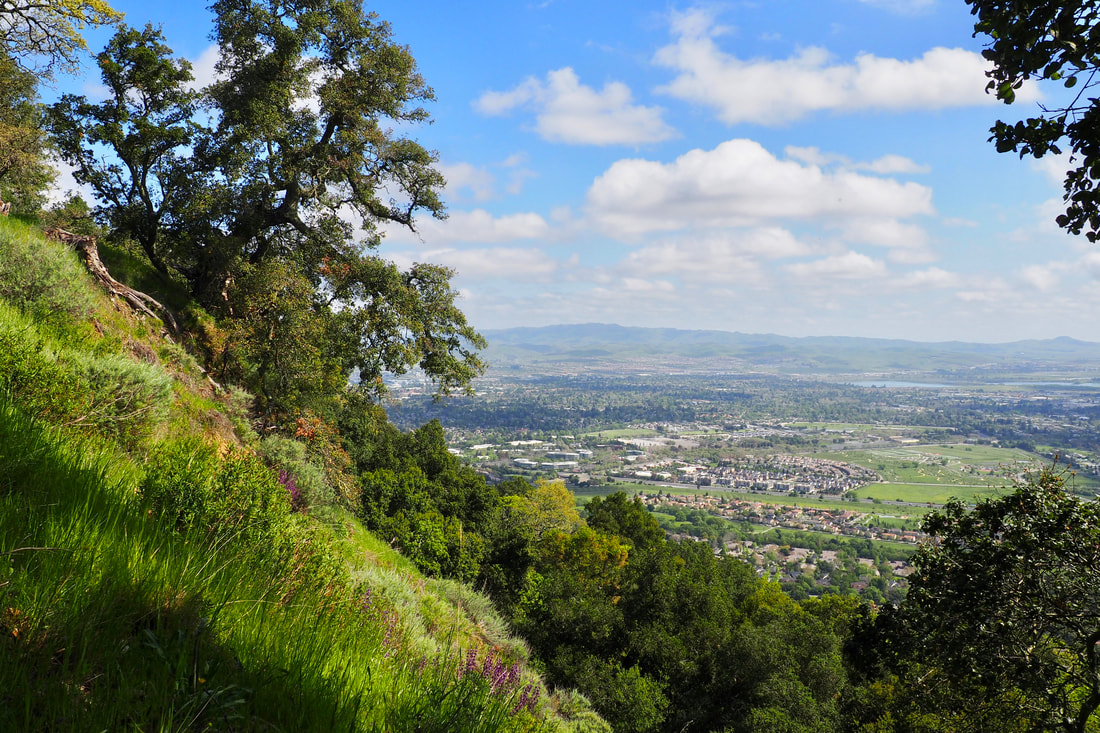
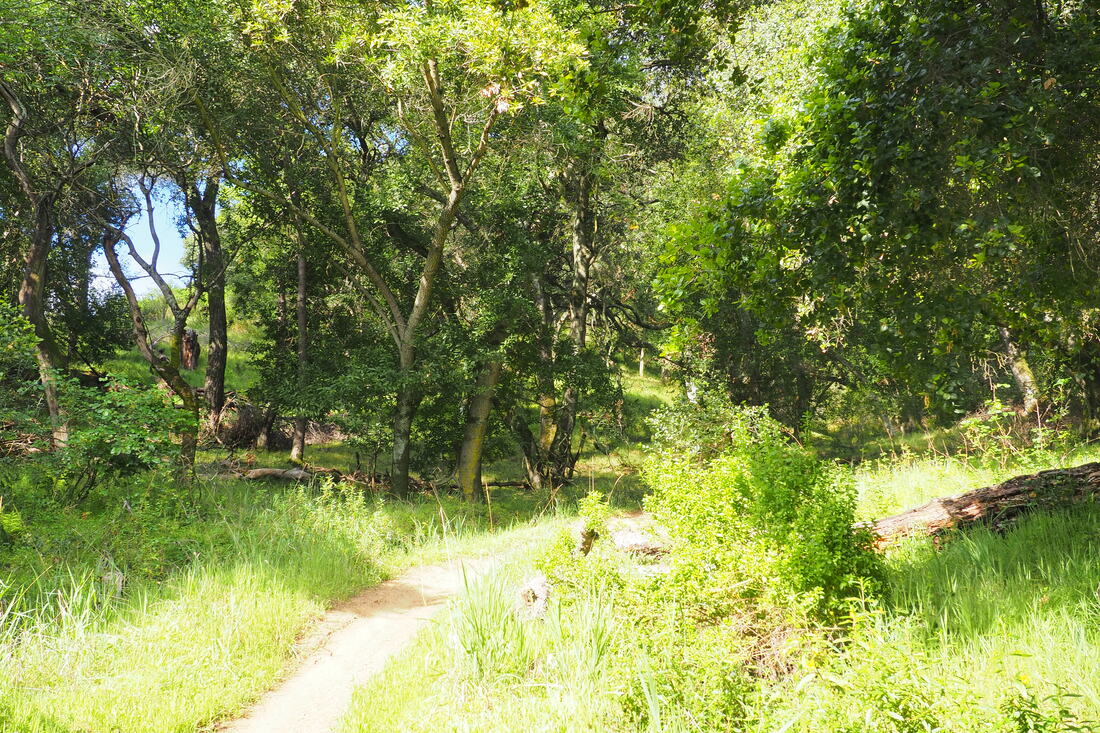
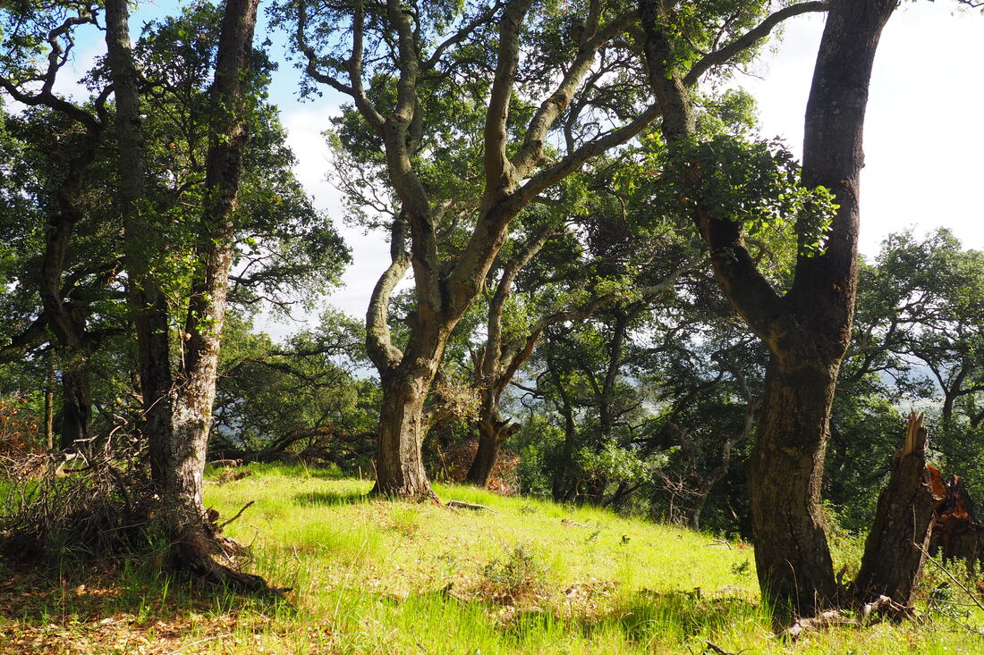
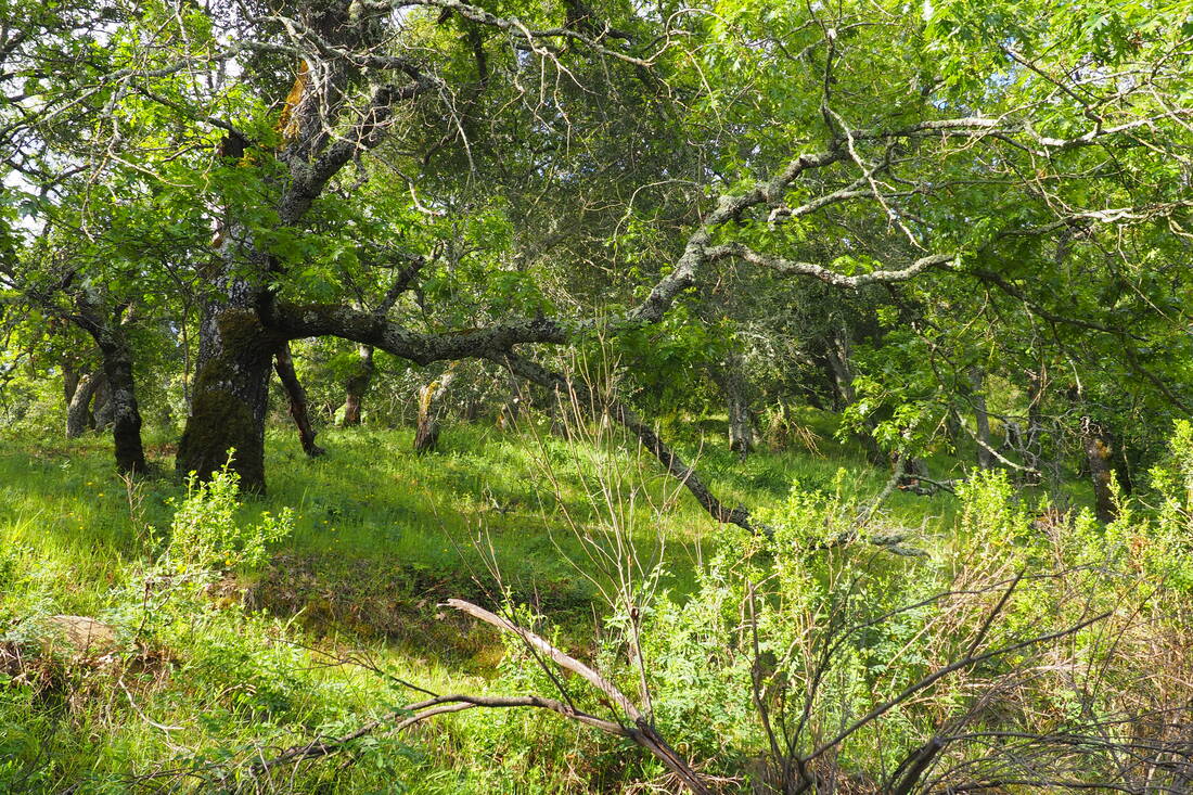
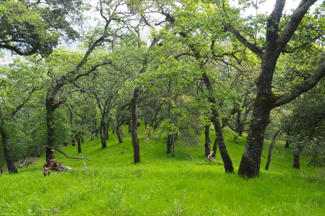
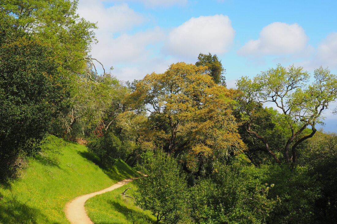
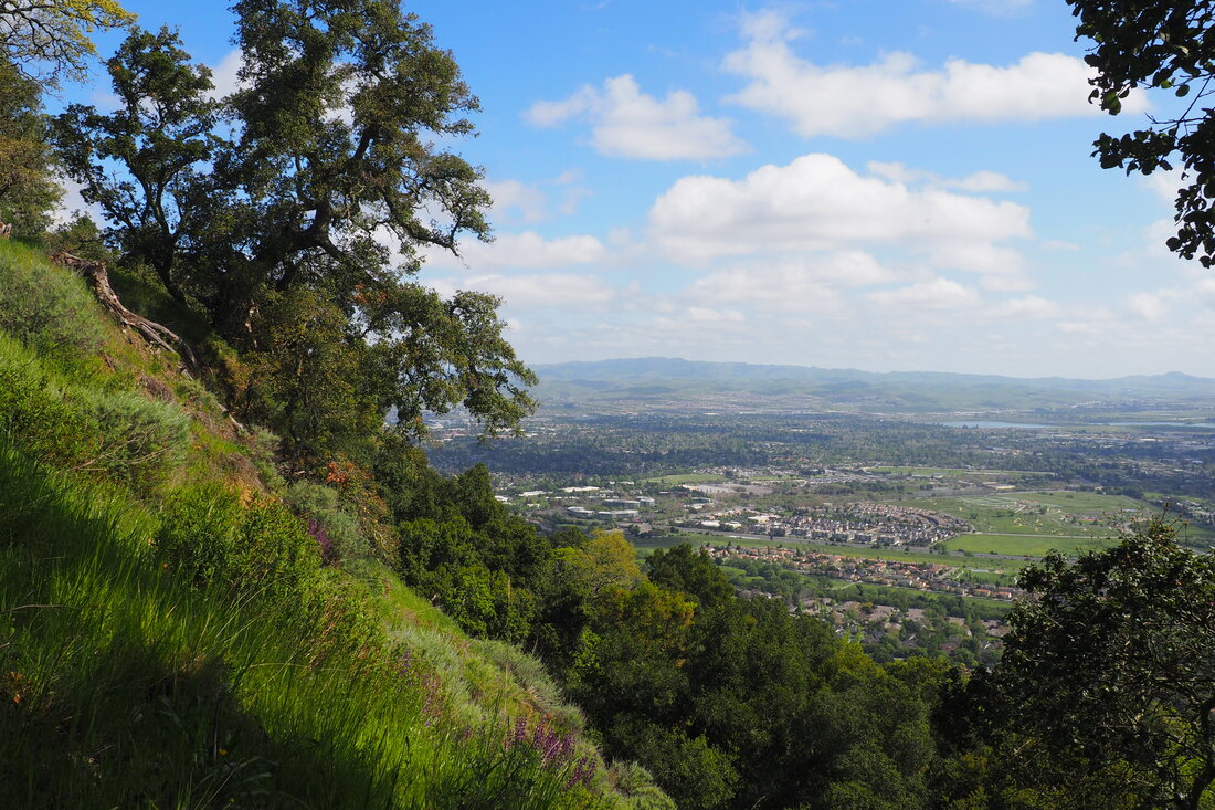
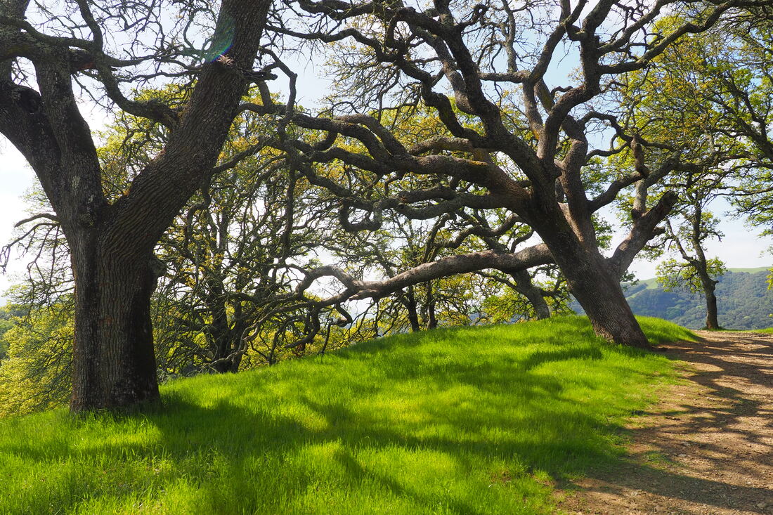
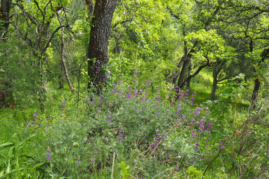
 After tailoring my outings to toddler-appropriate trips to open space parks midweek for the past few weeks, I was really missing a real hike. So I explored a park here in the Tri-Valley that I had yet to explore, Augustin Bernal Park in Pleasanton. I went early in the morning on Sunday to beat any crowd. It was quite a roller coaster of emotions!
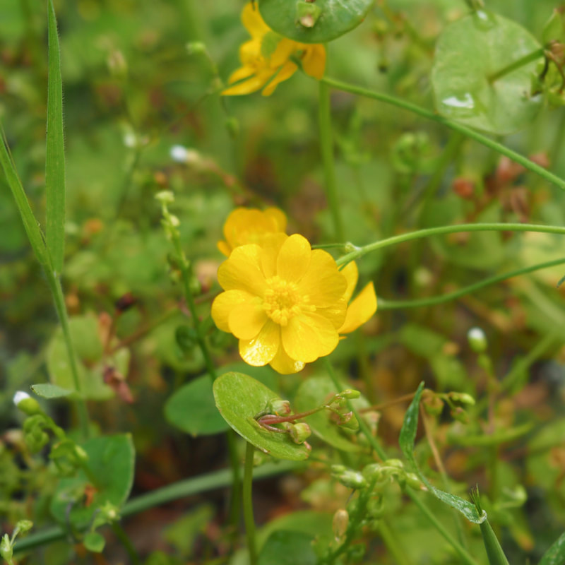
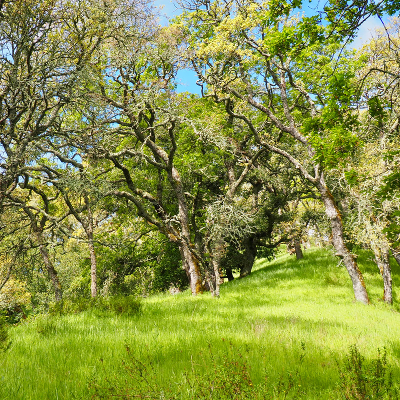
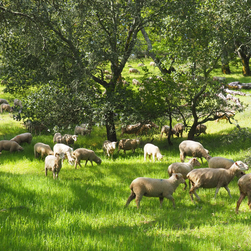
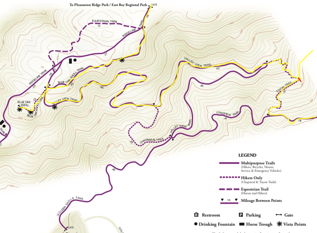
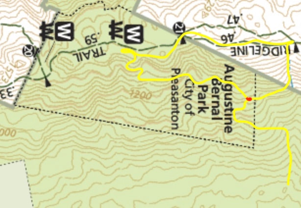
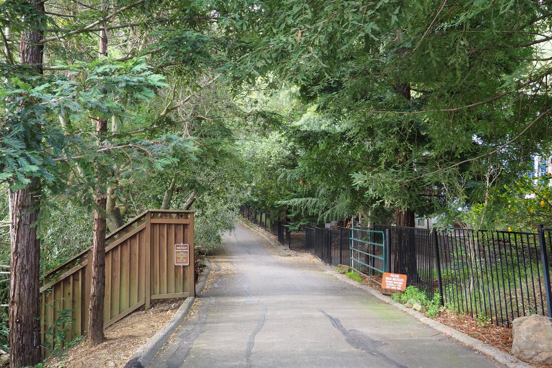
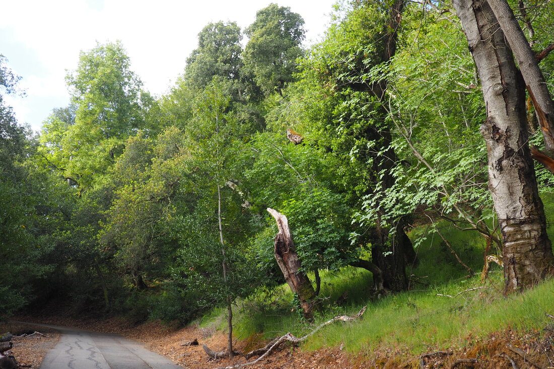
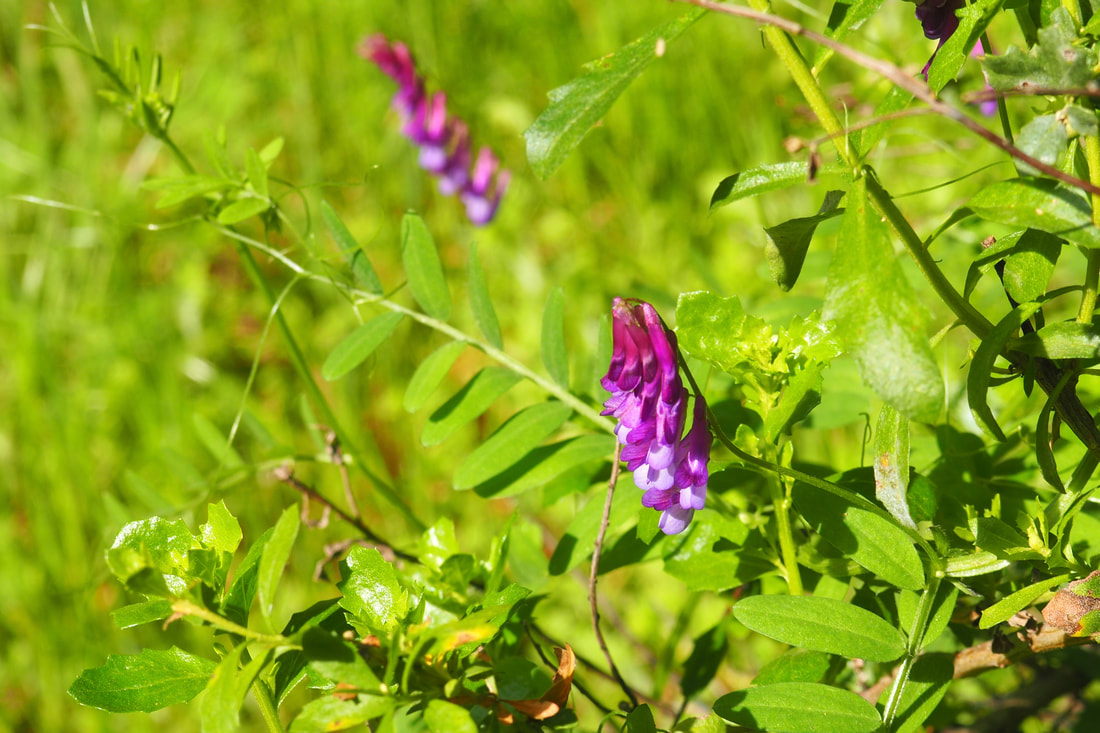
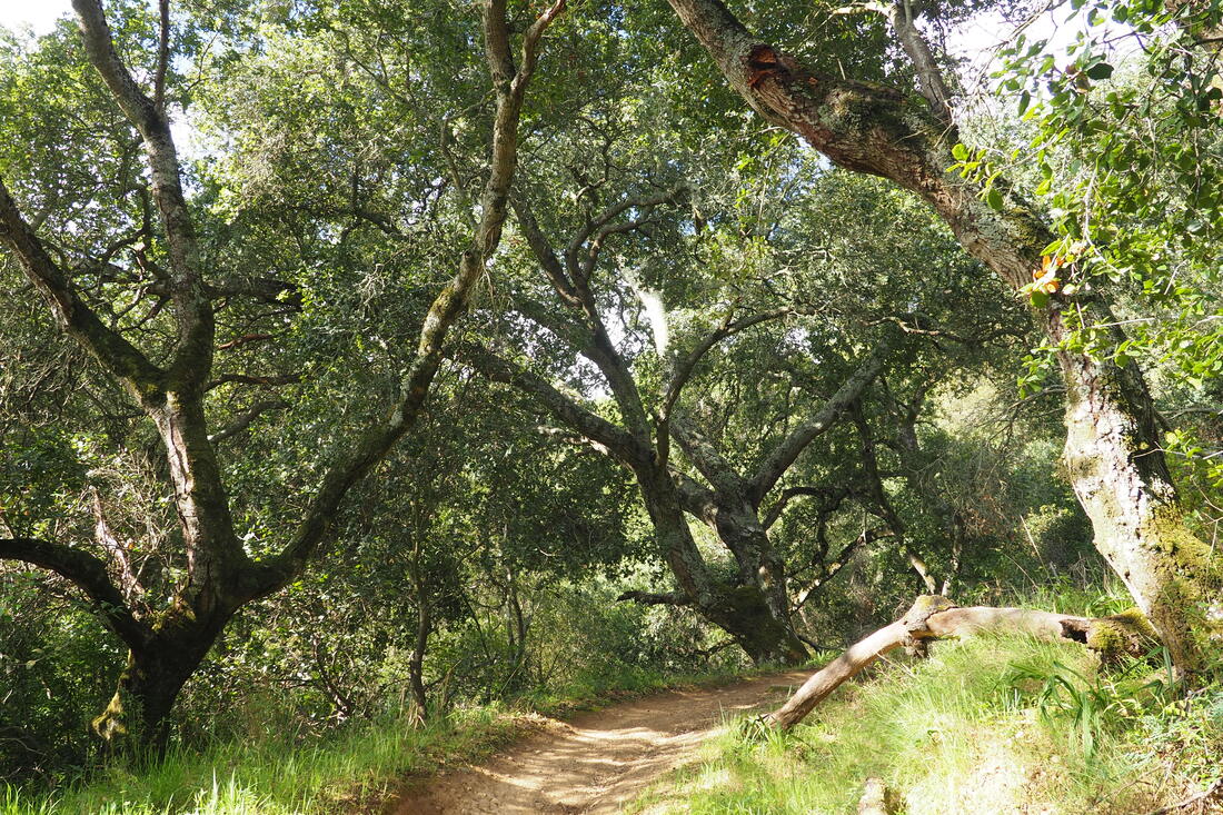
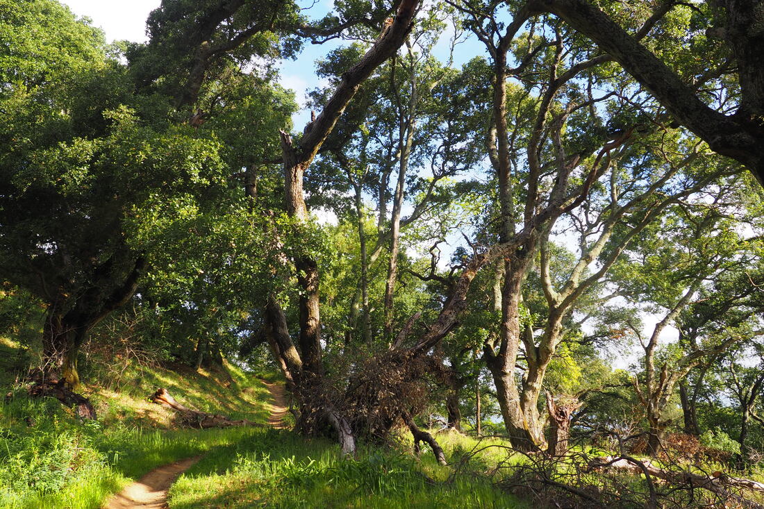
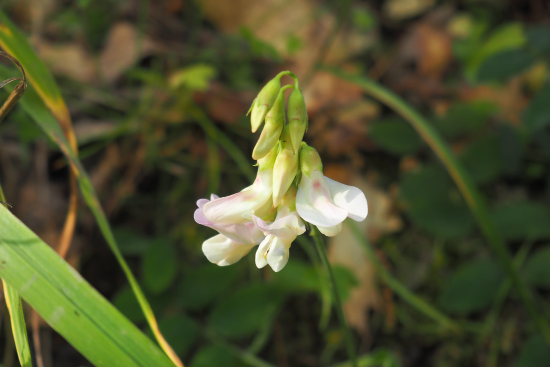
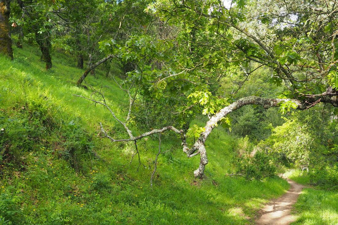
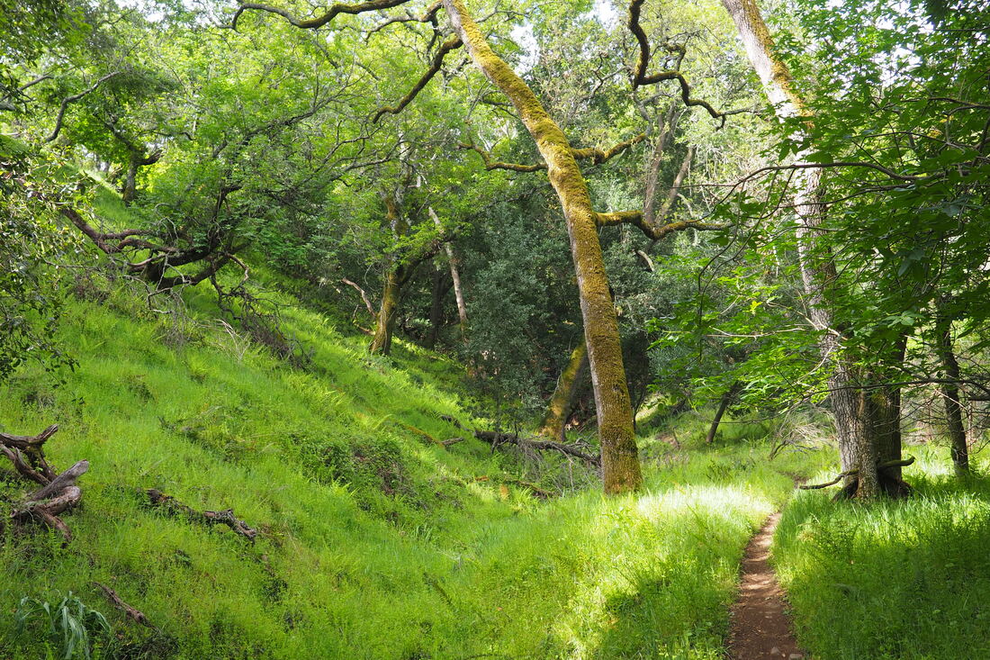
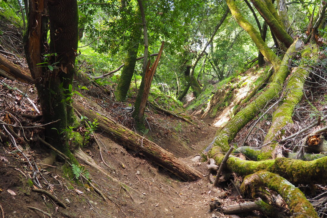
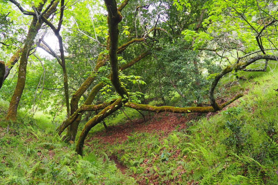
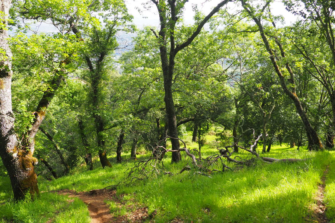
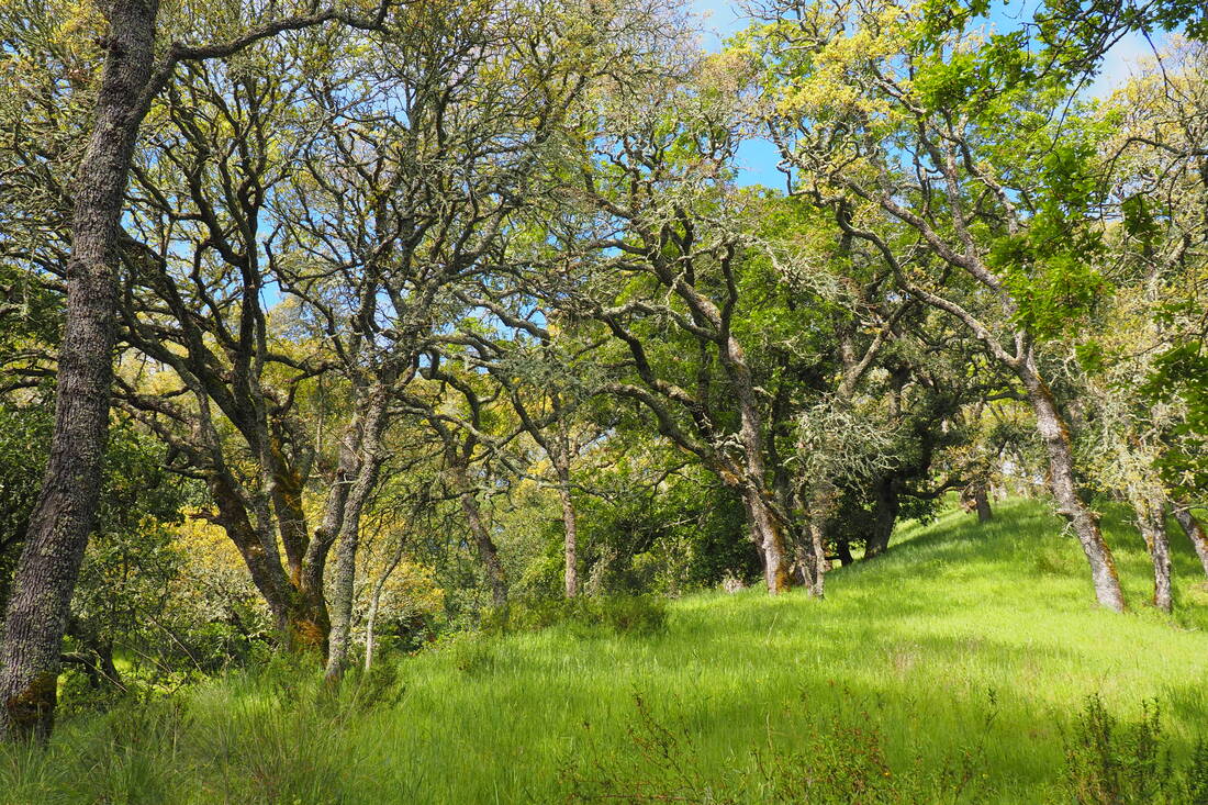
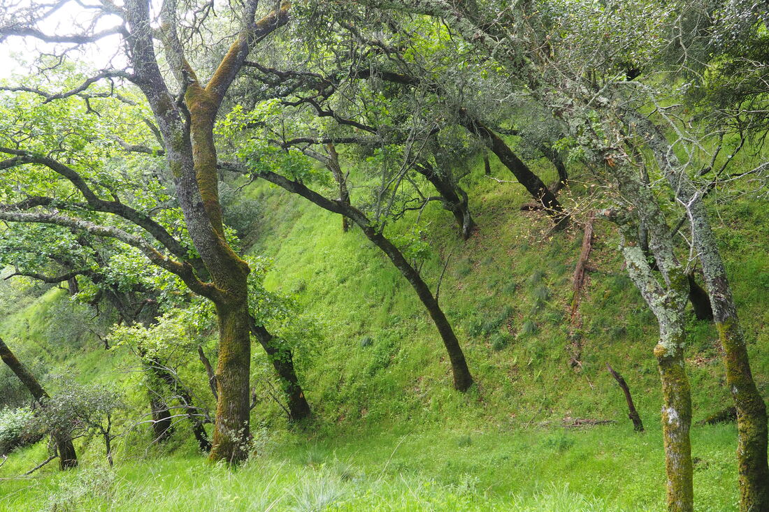
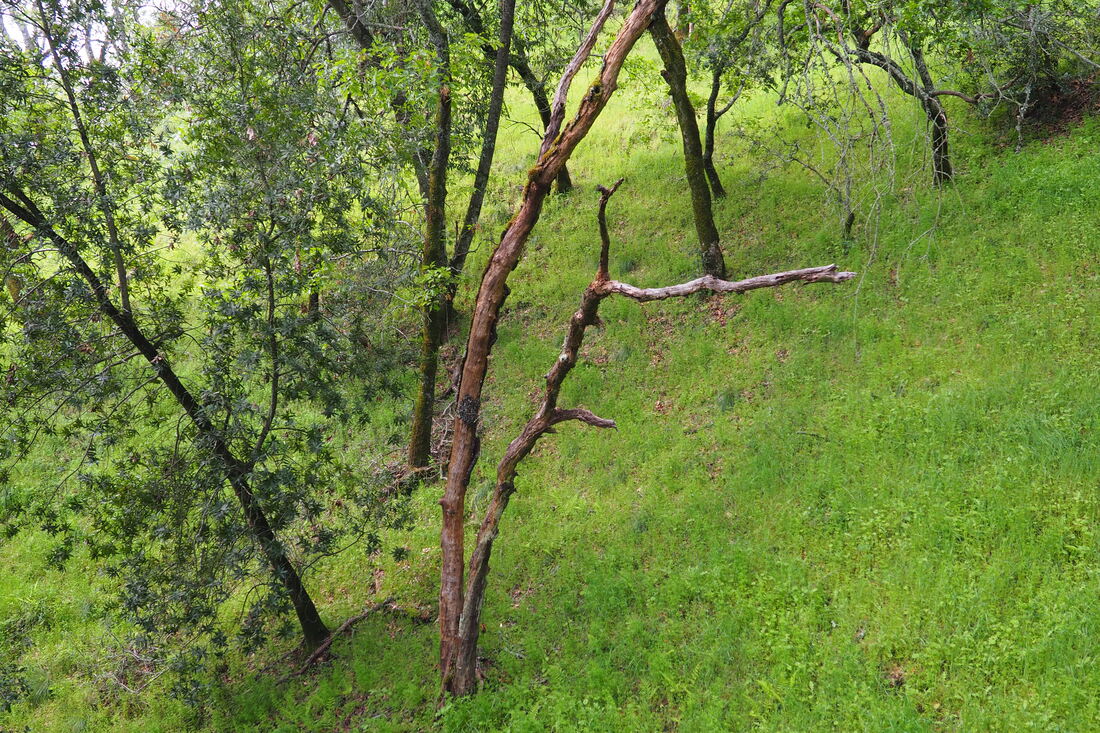
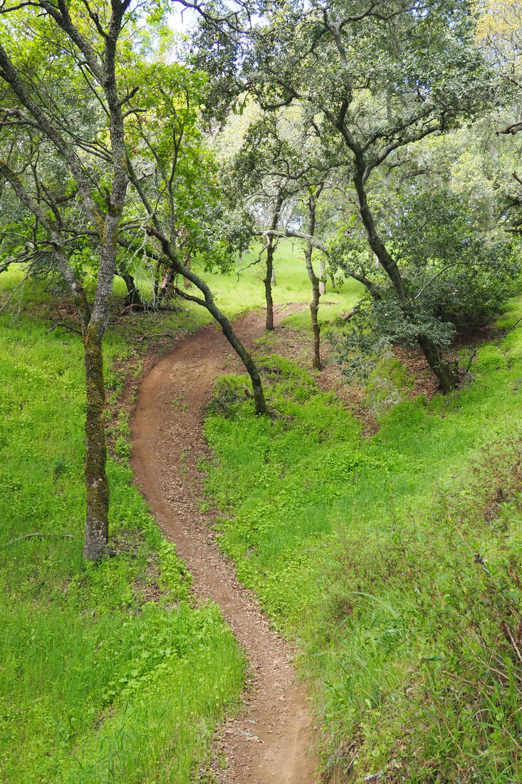
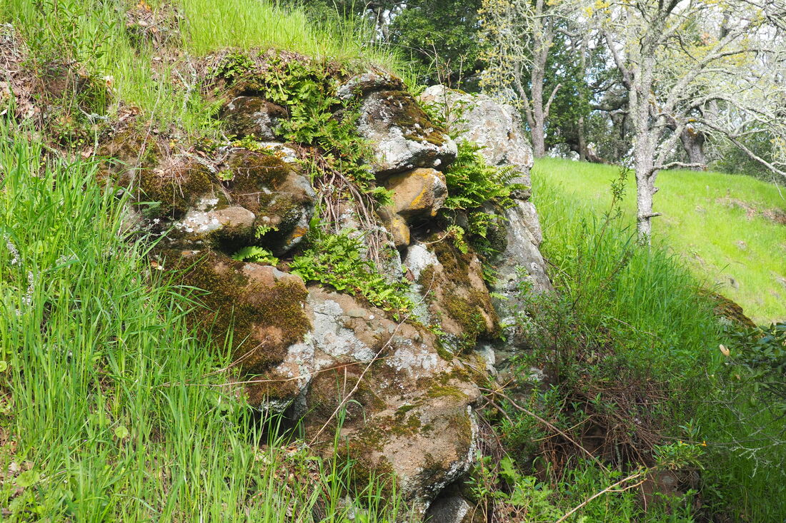
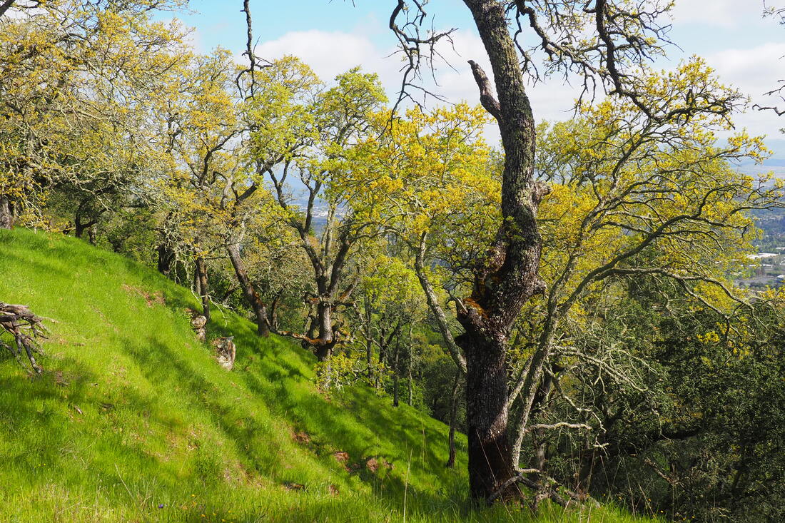
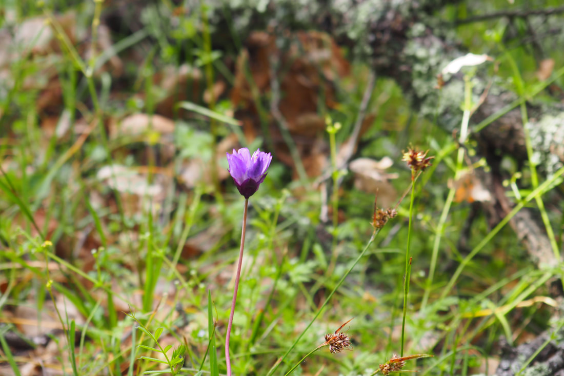
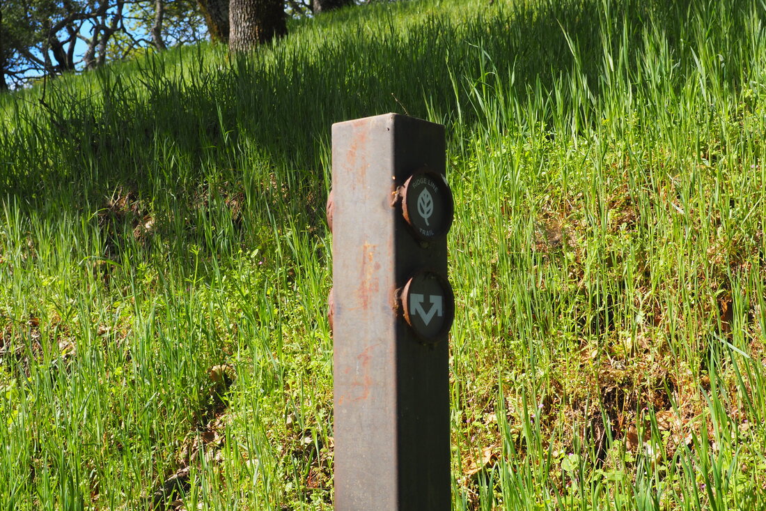
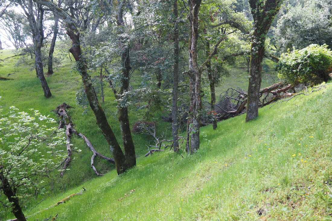
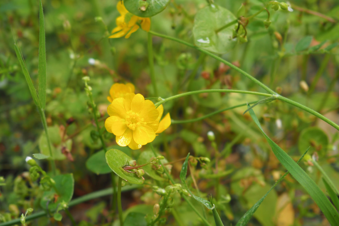
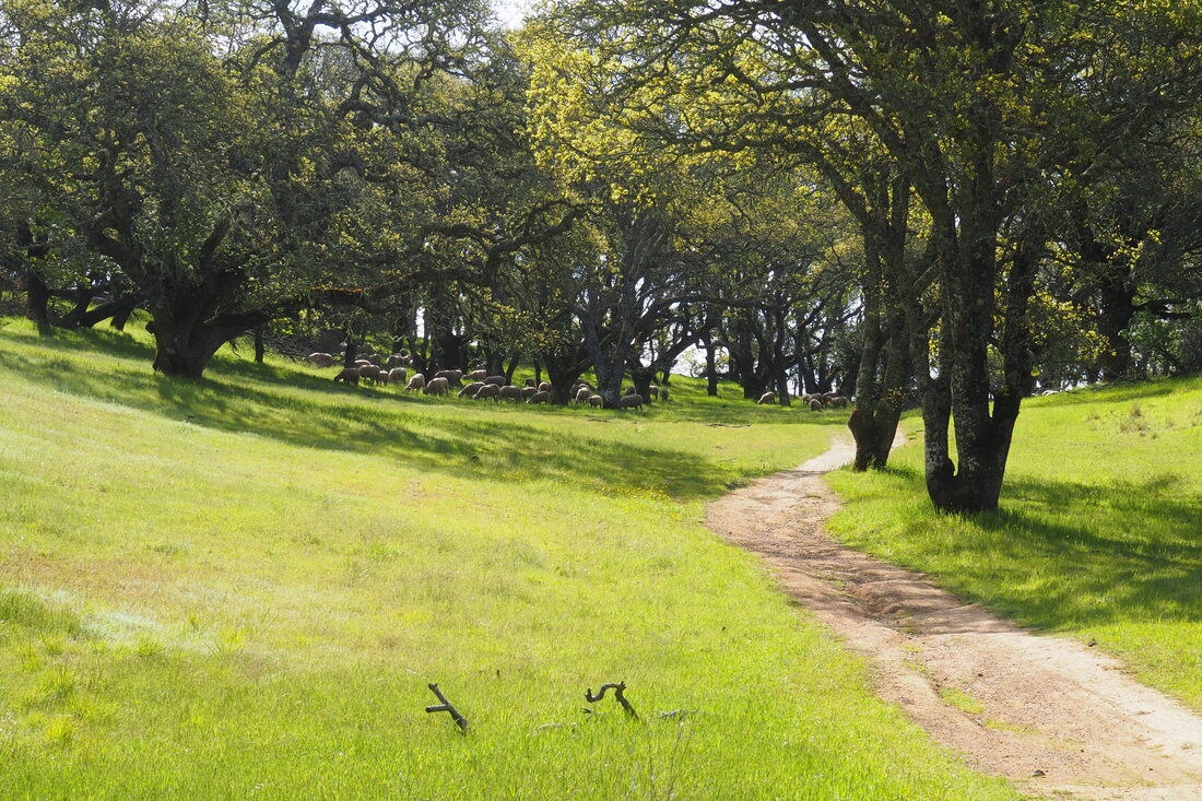
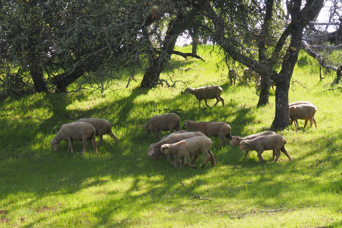
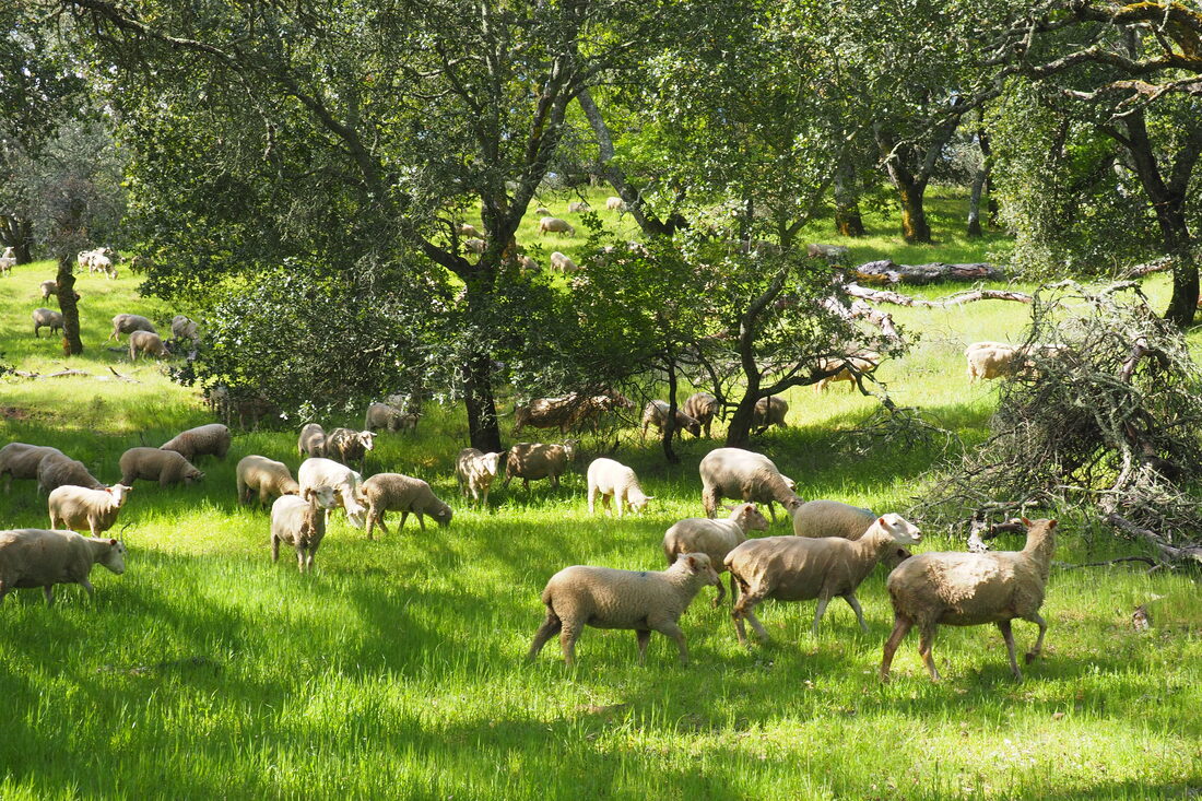
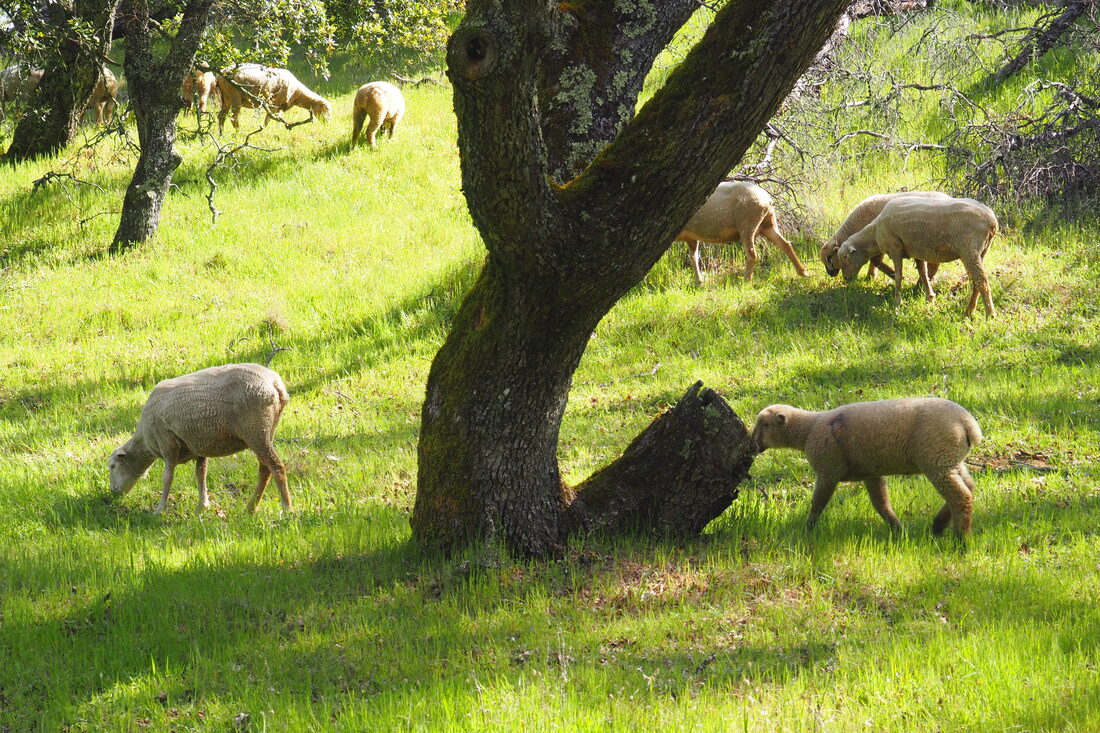
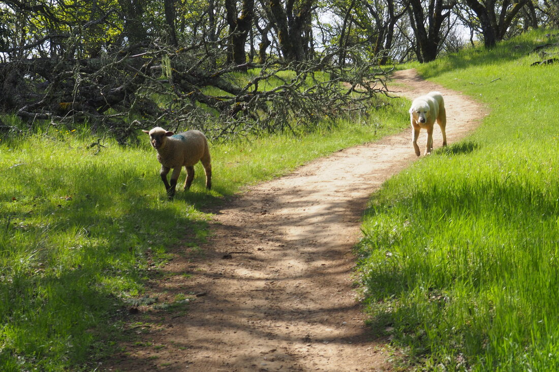
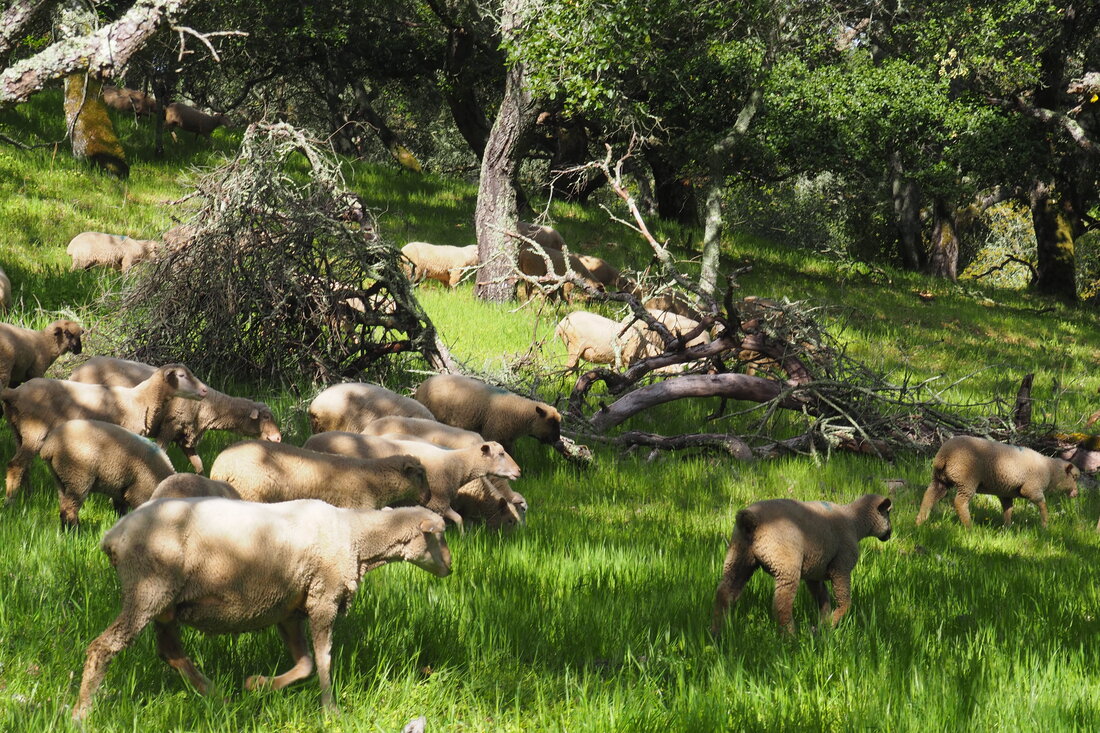
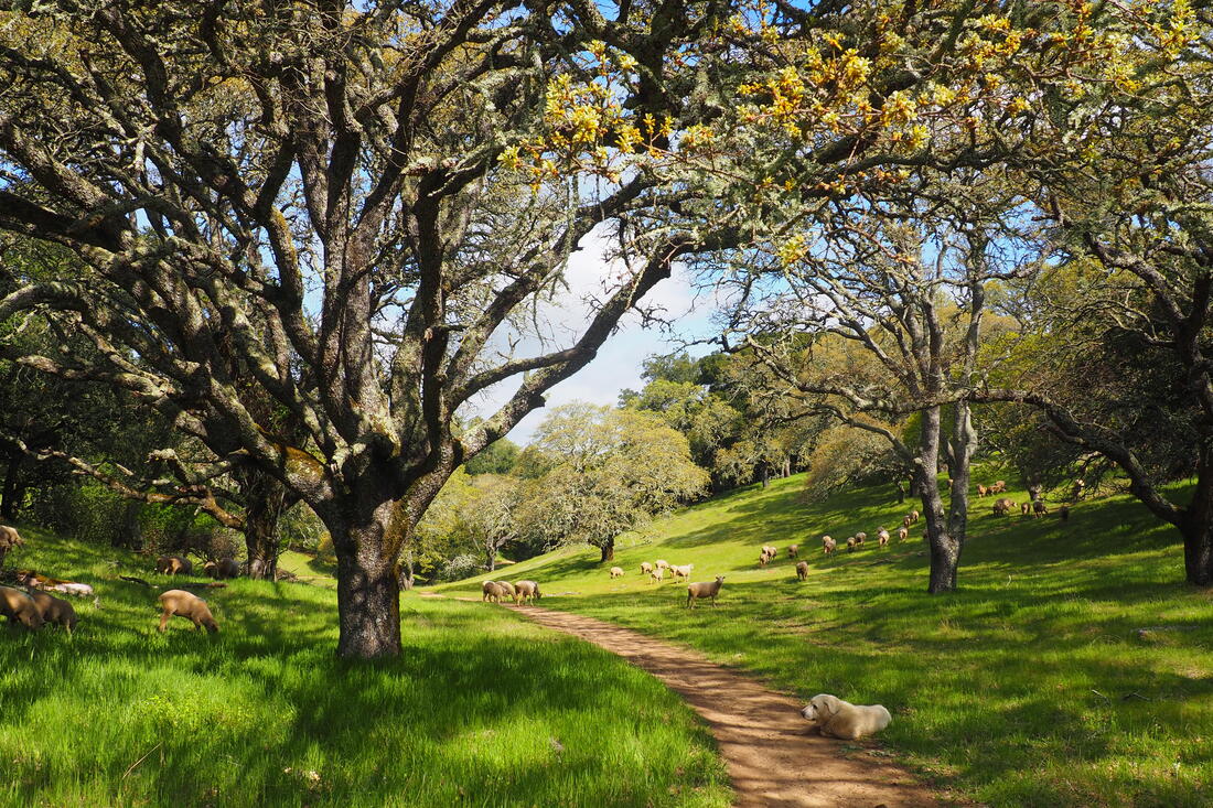
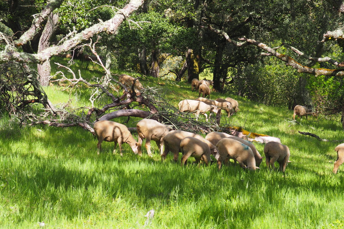
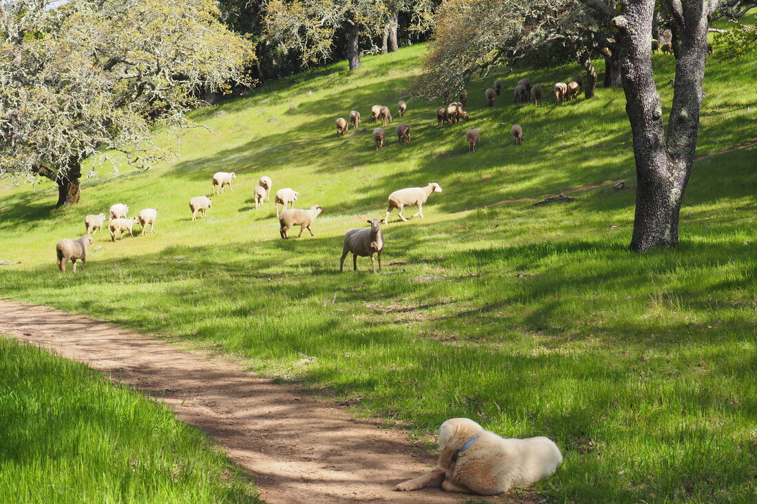
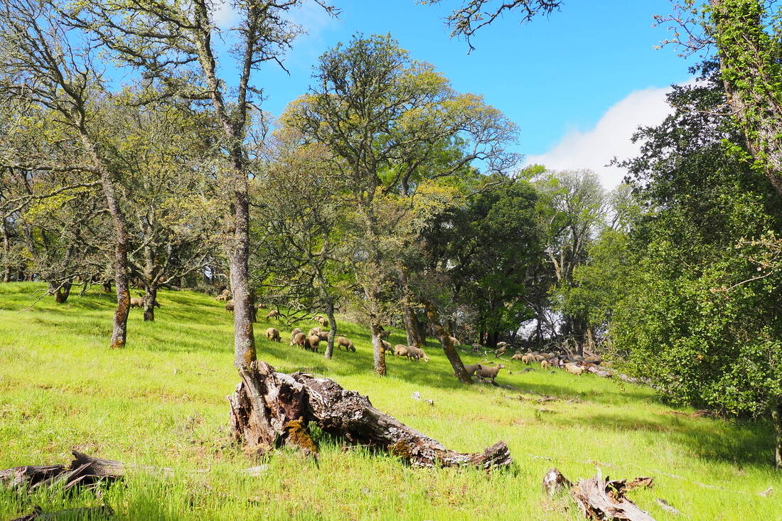
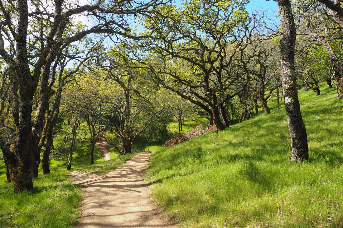
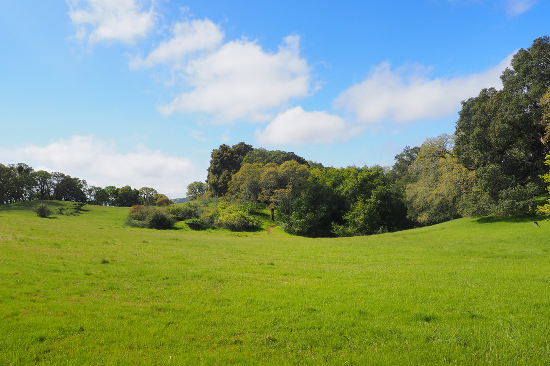
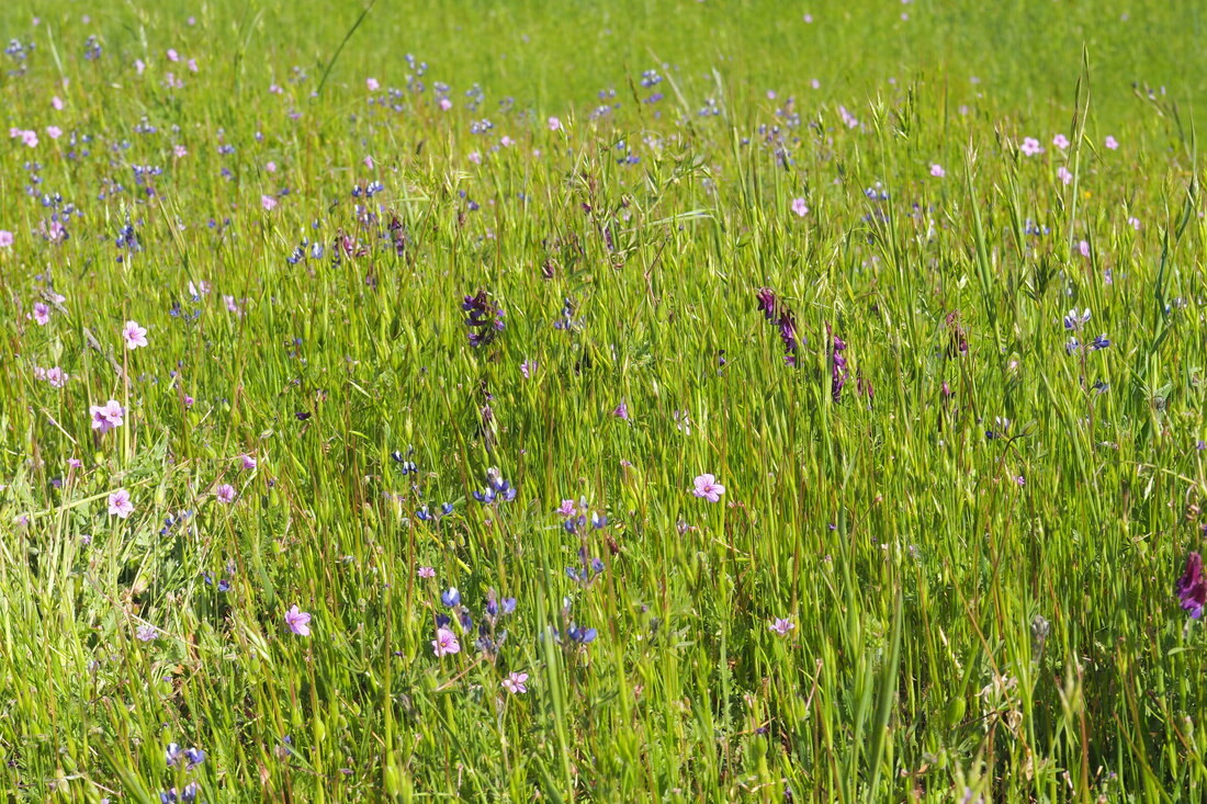
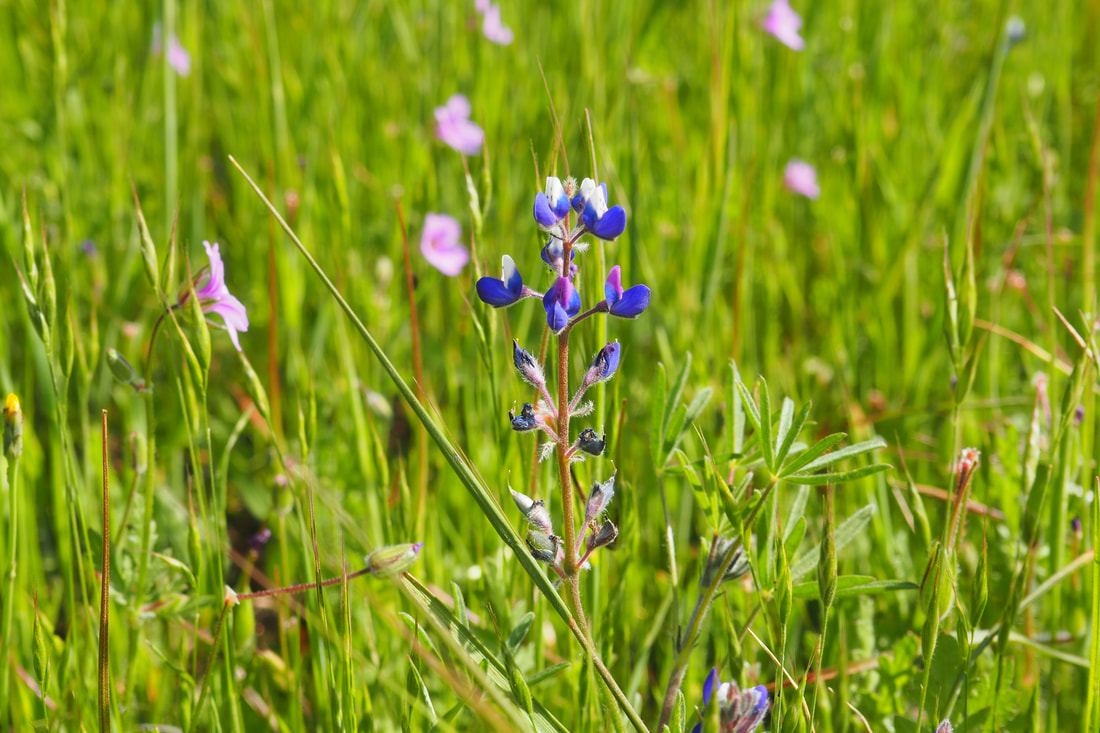
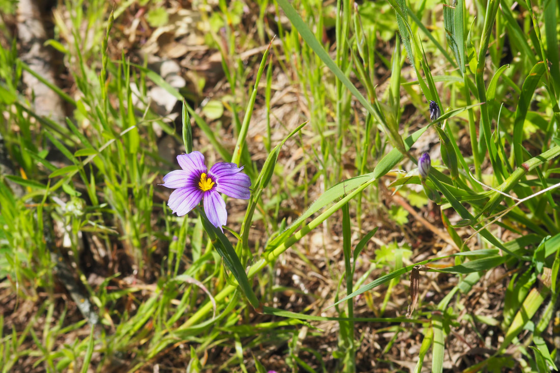
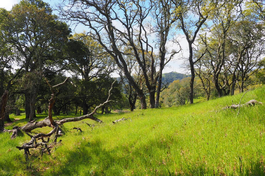
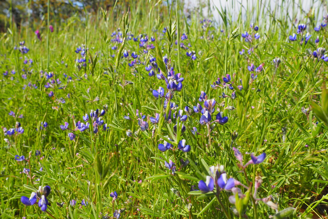
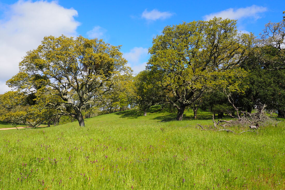
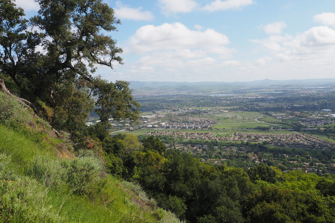
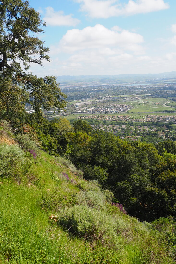
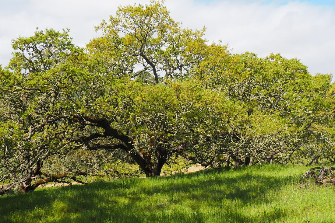
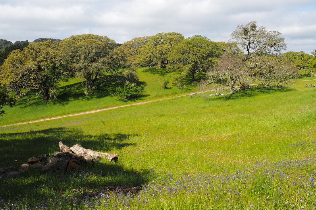
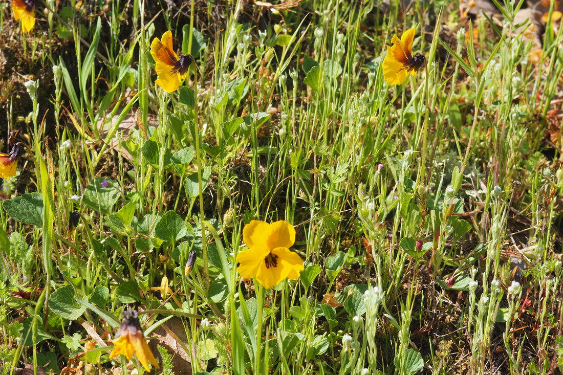
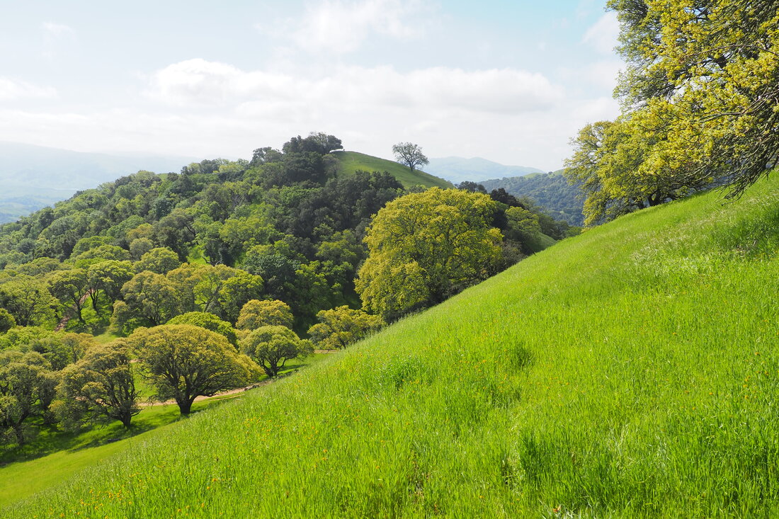
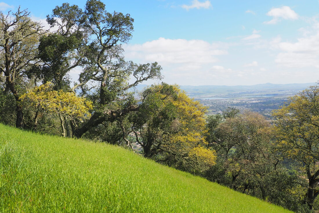
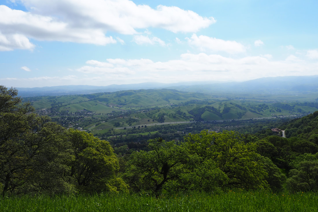
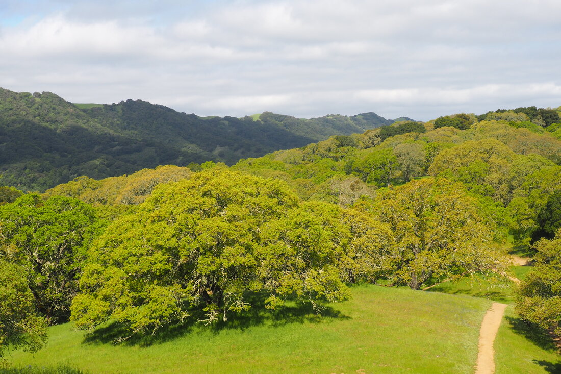
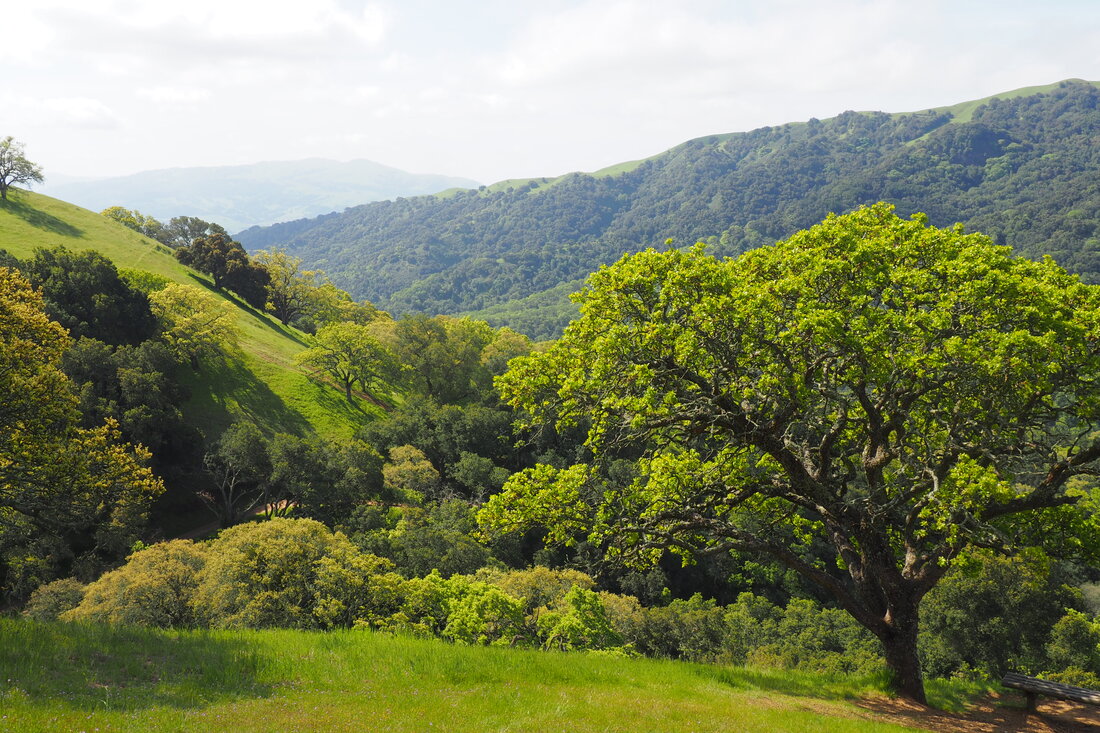
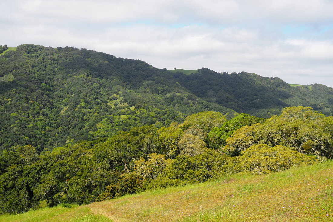
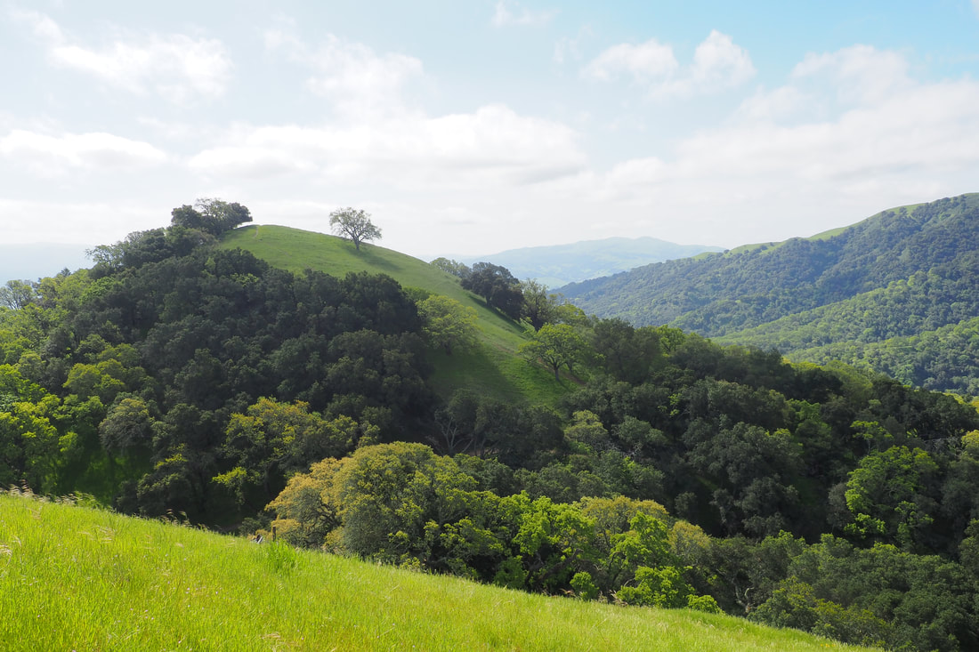
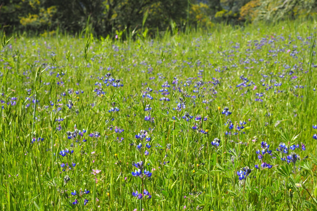
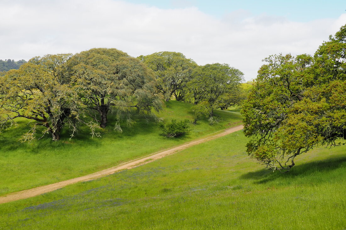
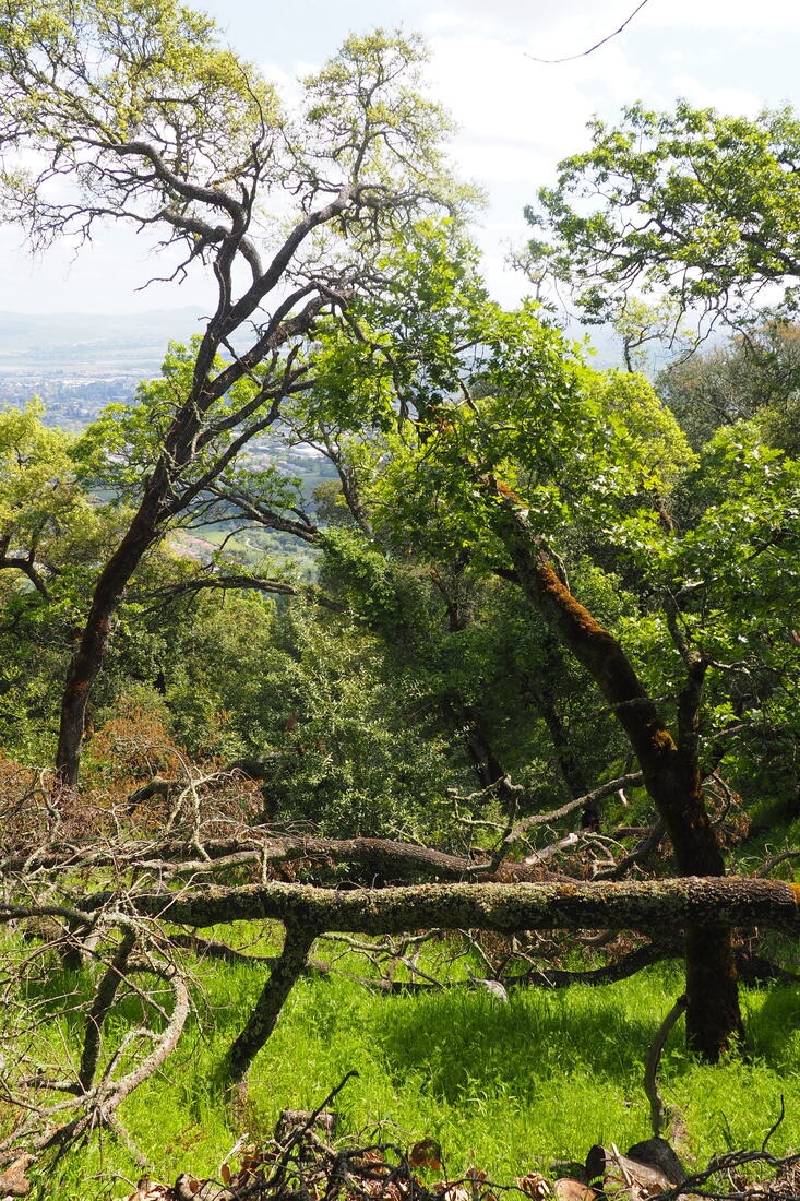
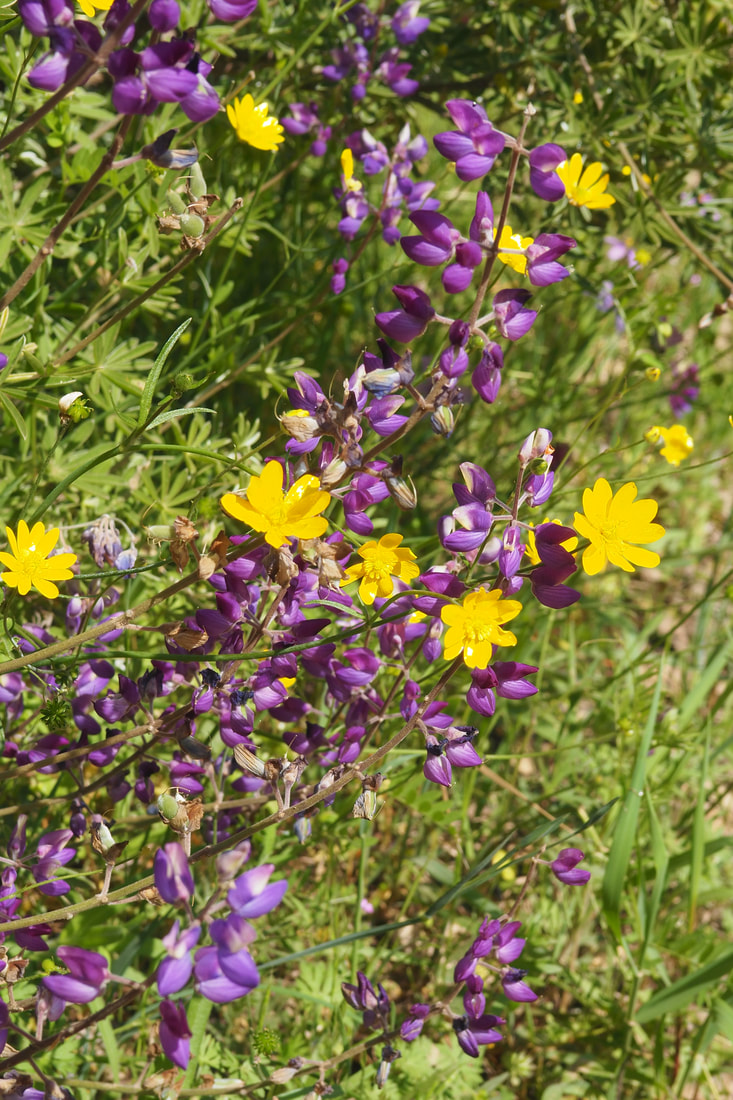
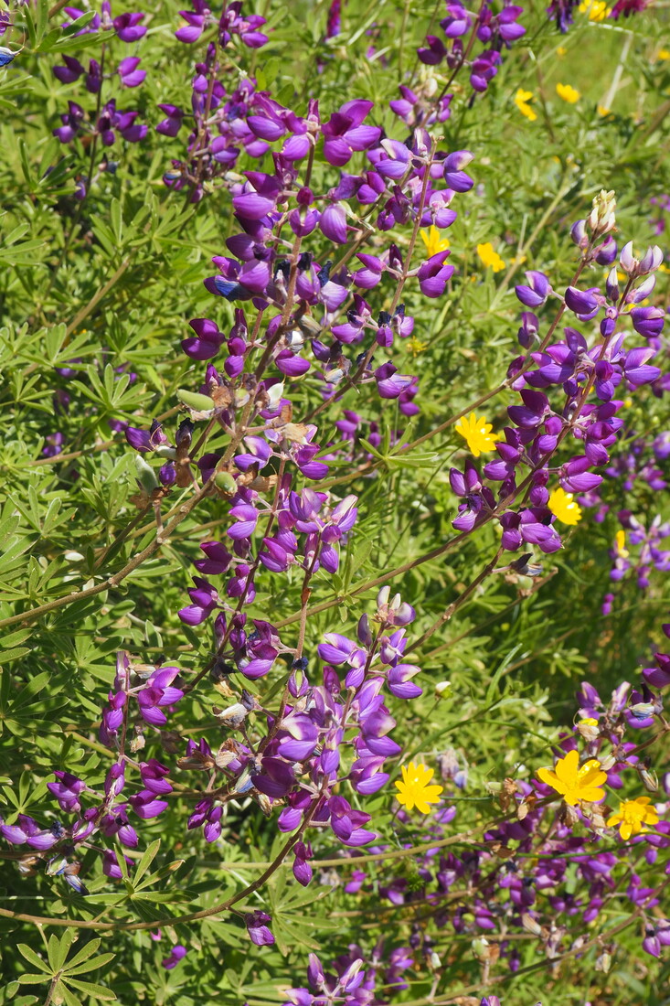
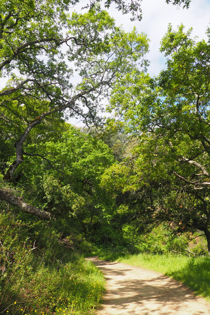
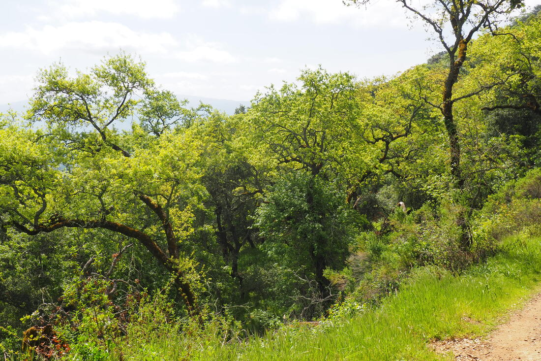
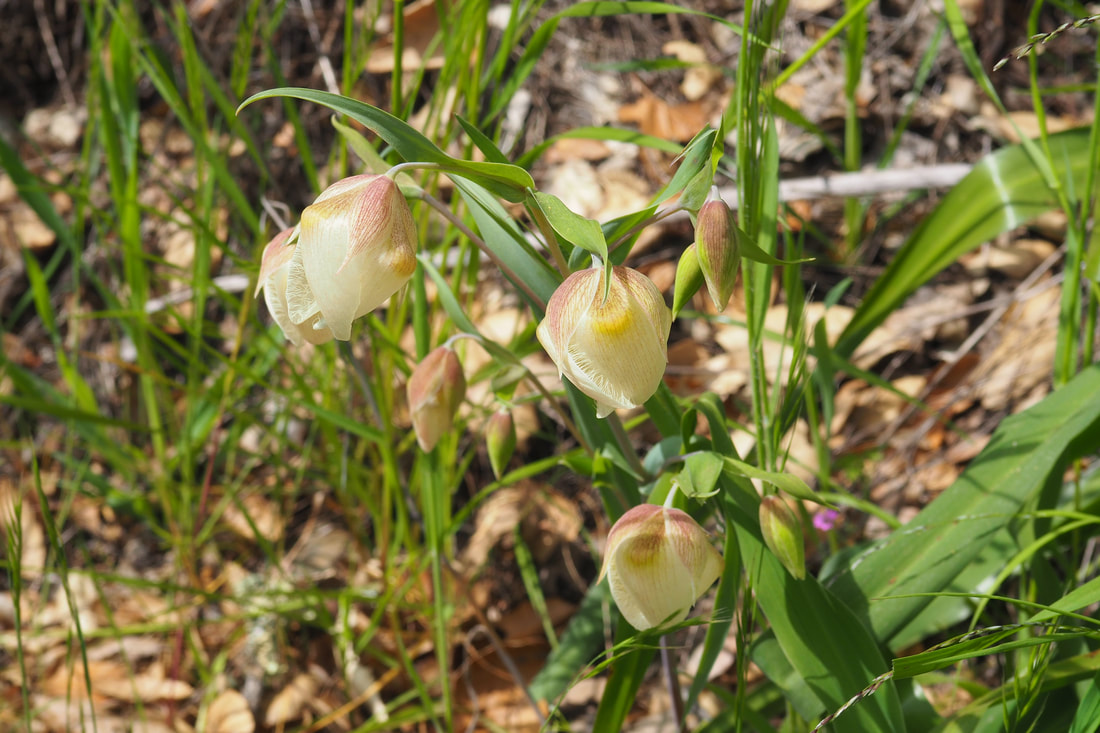
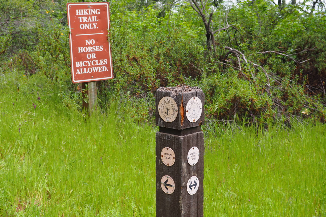
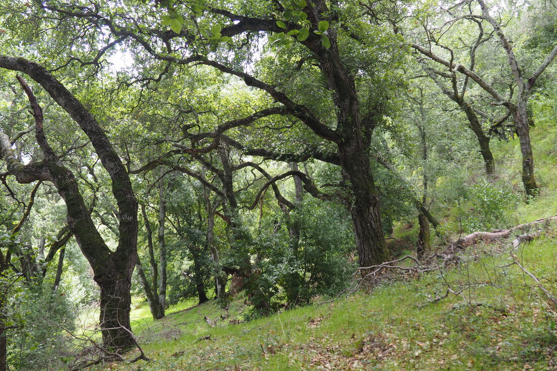
[P]arking is limited to the lower south side of Longview Drive. Pedestrian access is also possible from both the northern and southern gates of East Bay Regional Park District’s Ridgeline Trail. Since I am not sure of whether or not I can get a permit card right now, I opted to park at the Longview Drive area to enter, and I got there first thing in the morning. The hike up the hill from the parking area to the park entrance is STEEP! The entrance to the park is along an easement that includes access to driveways for local residences. Once you get into the park, stay on the paved drive until you get past the water tower. From there, I took the Toyon Trail, but I got lost on this trail. I retraced the trail on my way back to the car and I discovered the problem: the trail makes a fork at a metal post. It looks like there used to be a sign to direct hikers to keep going uphill and to the left to remain on the Toyon Trail; however, the sign has been removed. In keeping on the flatter trail, which in hindsight must be an unofficial trail cut by bikers and/or locals, I got extremely turned around. Eventually I got to a bright yellow sign that announced that all through traffic was prohibited, including pedestrian traffic. I was at a park boundary, but I didn't know it. Here is the scary part of the hike: I looked to my left and saw what appeared to be a trail. I took it, thinking that it must be the Toyon Trail. As I continued further along on it, I realized that there was no way that it was a real trail; rather, it had definitely been cut by mountain bikers who were thrill-seeking a more adventurous way down the mountain. The path was very steep, and the dirt was not always very compact. By the time I started to worry about my safety, I was reluctant to turn back because I had already gone quite far. I wish I had turned back. If a bike had come down the mountain, it would have been going too fast to have stopped before hitting me. And I would not have been able to move to the side because the trail was too narrow and steep. Parts of the "trail" closer to the top of the ridge were so steep that I had to crawl up, more like I was bouldering than hiking. I had to hang onto tree roots to get enough traction to move slowly uphill. I wasn't sure that I would be able to make it. At this point I realized how stupid I had been to keep going instead of turning around. All of this is to say: don't make the mistakes that I made. Although I saw deer and wildflowers galore, and it was very beautiful, it was not worth it. When I got to the ridge top, I burst into tears, in part because of humiliation that I was lost and had made such bad choices, and in part for sheer relief that I made it after all. This is undoubtedly one of my lowest moments as a hiker. As I crested the ridge, I could see other hikers on what was obviously a real trail. I thought I was still in Augustin Bernal, but I was actually about half a mile north of the park boundary in the northern section of Pleasanton Ridge. I asked other hikers what trail we were on, but weirdly no one knew (?)... so I turned to the right and headed north, thinking I was on Valley View Trail. Eventually I got to a trail marker and saw that I was outside of the park boundary, and was all the way on Ridgeline Trail. Once I was oriented, I planned my route back: I took Ridgeline back south towards Augustin Bernal and planned to take Blue Oak Knoll towards Valley View back down the hill towards the area where I parked. Here is the funny/reassuring part of the hike: As I was hiking along Ridgeline, I heard a loud bleating. As I moved south it got louder and louder until I saw literally hundreds of sheep! I guess EBRPD contracts with shepherds to graze the sheep in the hills for weed abatement and fire control. It was so cute to see all of them. Also, here I encountered some mountain bikers who were very kind to me. One in particular could see that I was in distress, and he came back to check on me when he realized that I was more turned around than I had realized at first (he did maintain social distancing). Between the cute sheep and the kind mountain biker, I ended my hike in a much better mood than when I was so lost. I have come to the conclusion that there are two kinds of mountain bikers: the amazing kind who pay attention to and care for both the natural environment in which they are biking and their fellow park enthusiasts, and the insane kind who throw themselves down the mountain in unsafe ways that both damage the parks and endanger their fellow park enthusiasts. If you are a mountain biker and you are reading this: please be the former kind! Don't cut unofficial and dangerous tracks down steep hillsides! It's dangerous for you and for hikers, and it damages the ecosystem of the parks. I took Blue Oak Knoll Trail all the way to the lookout point, which was very beautiful. Then I took Valley View down the hill. It is a wide fire road with plenty of room for passing. At this point, the trail was starting to get busier. I opted to retrace my way back using the Toyon Trail, although I was scared that I might get lost again. I am glad that I did, because this is where I noticed the fork that I missed when I was on my way up hill. So pay attention for the metal sign post that is missing its sign--make sure to veer to the left and head up hill. If you get to a yellow sign then turn around and retrace your steps back to that fork. I don't know how far I hiked exactly. I am guessing that it was probably between 4 and 5 miles. It felt like a lot longer than that because I was so anxious once I realized how lost I had gotten, but that estimate is based on the mileage that I have access to from the maps to Augustin Bernal and Pleasanton Ridge. Obviously there is no mileage for the unofficial trail. While I recommend Augustin Bernal as a park, I do not recommend this particular hike. I would like to go back to this park, but I will be much more cautious about the trails that I take. The Toyon Trail needs a sign at the fork, but other than that most of the trail markers were actually quite good. If you are on a "trail" with no markers then you are not on a trail, and you should turn around.
0 Comments
Leave a Reply. |
Archives
December 2020
Categories
All
|
 RSS Feed
