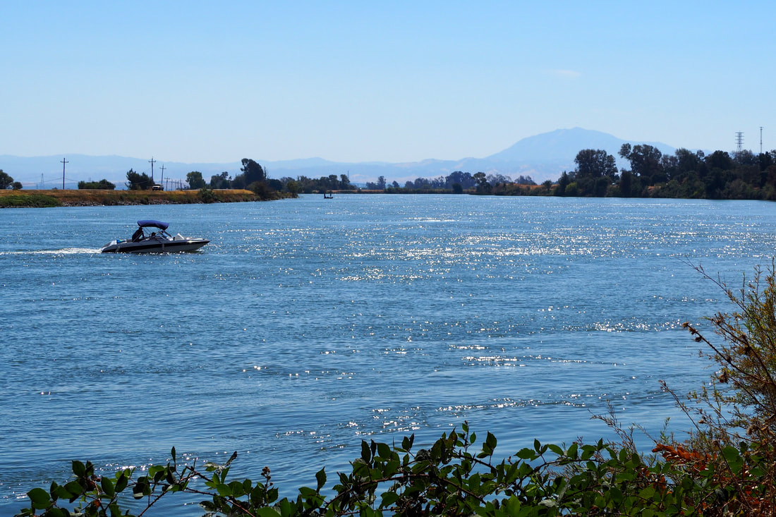
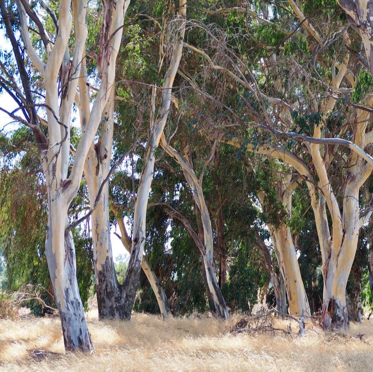
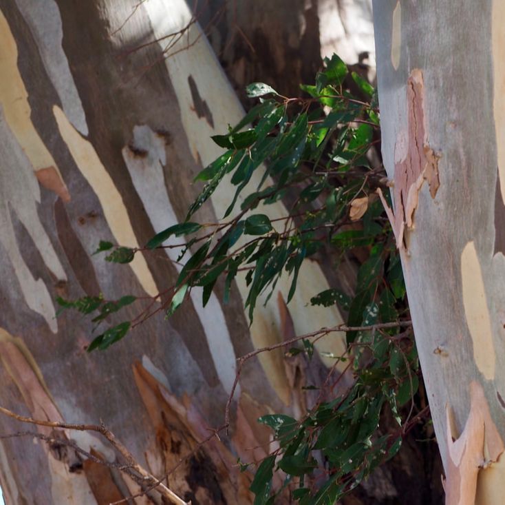
 Brannan Island State Recreation Area is primarily for boaters, swimmers, campers, and people using the picnic area. The Brannan Island Loop is a paved, handicap-accessible 3.1 mile loop. It was perfect for me and my daughter (in her stroller) while we enjoyed both the eucalyptus grove and the delta breezes on a warm September afternoon.
0 Comments
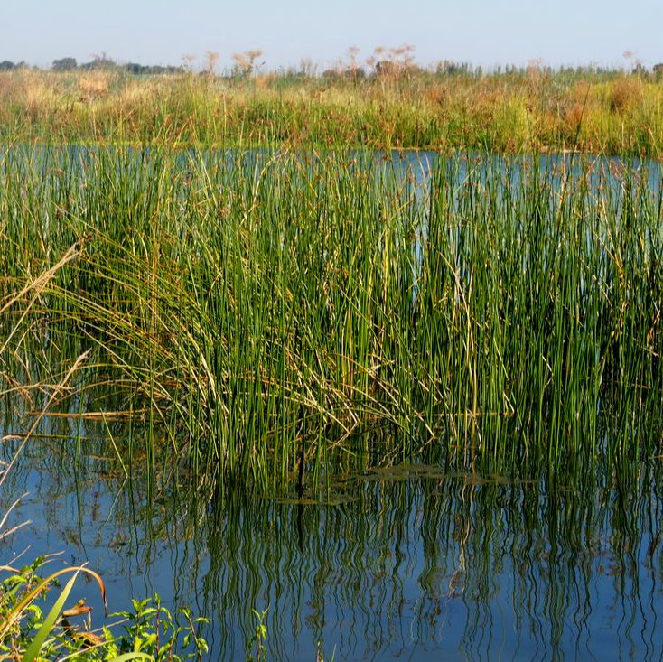
 Samuel P. Taylor State Park is a family favorite! It's easy to drive right past because it is on the way to both Tomales Bay and Point Reyes National Seashore; however, it is well worth it to stop and explore this park.
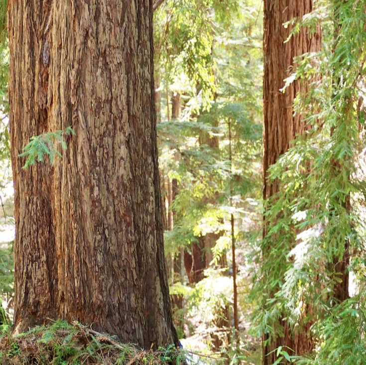
 Sanborn County Park is near the charming town of Saratoga, off of Highway 9 (the road to Big Basin). It may be the quickest way for the majority of Silicon Valley residents to get to the redwoods; however, its location on Highway 9 probably means that many people are planning to bypass it for the famous state park. The park today was really quiet except for a group of very happy school children enjoying summer camp at the Youth Science Institute.
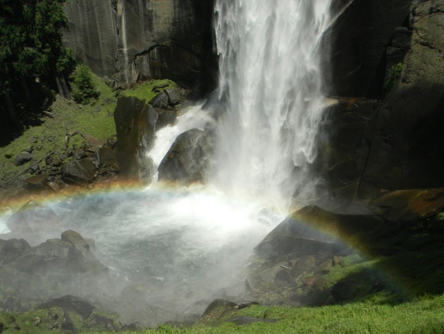 I've been sprucing up the website over the past month, and while doing that I stumbled upon some photos of Yosemite from 2011. The waterfalls that year were so nice, that I thought I would post a throwback blogpost!
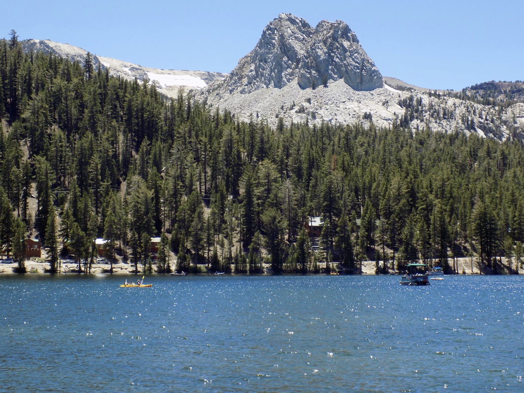 The last day of our Eastern Sierra camping adventure, my husband and I took a scenic gondola ride up to the top of Mammoth Mountain. When we were at the top of the 11,053-ft. peak, we met a naturalist from Inyo National Forest, who talked to us about the volcanic and glacial events that formed the mountains that we were walking on and observing. He pointed out to us the Mammoth Lakes Basin, which we had somehow missed on the day that we went to Devils Postpile National Monument. After we descended the mountain on the gondola, we drove the loop around Lake Mary (in the lede photo, along with Crystal Crag) to check out these beautiful terraced lakes.
 This area is one that we've only begun to explore. There are two places called "Twin Lakes" in the Eastern Sierras: one near the town of Mammoth Lakes and another near the town of Bridgeport, CA in Humboldt-Toiyabe National Forest. This post features the latter.
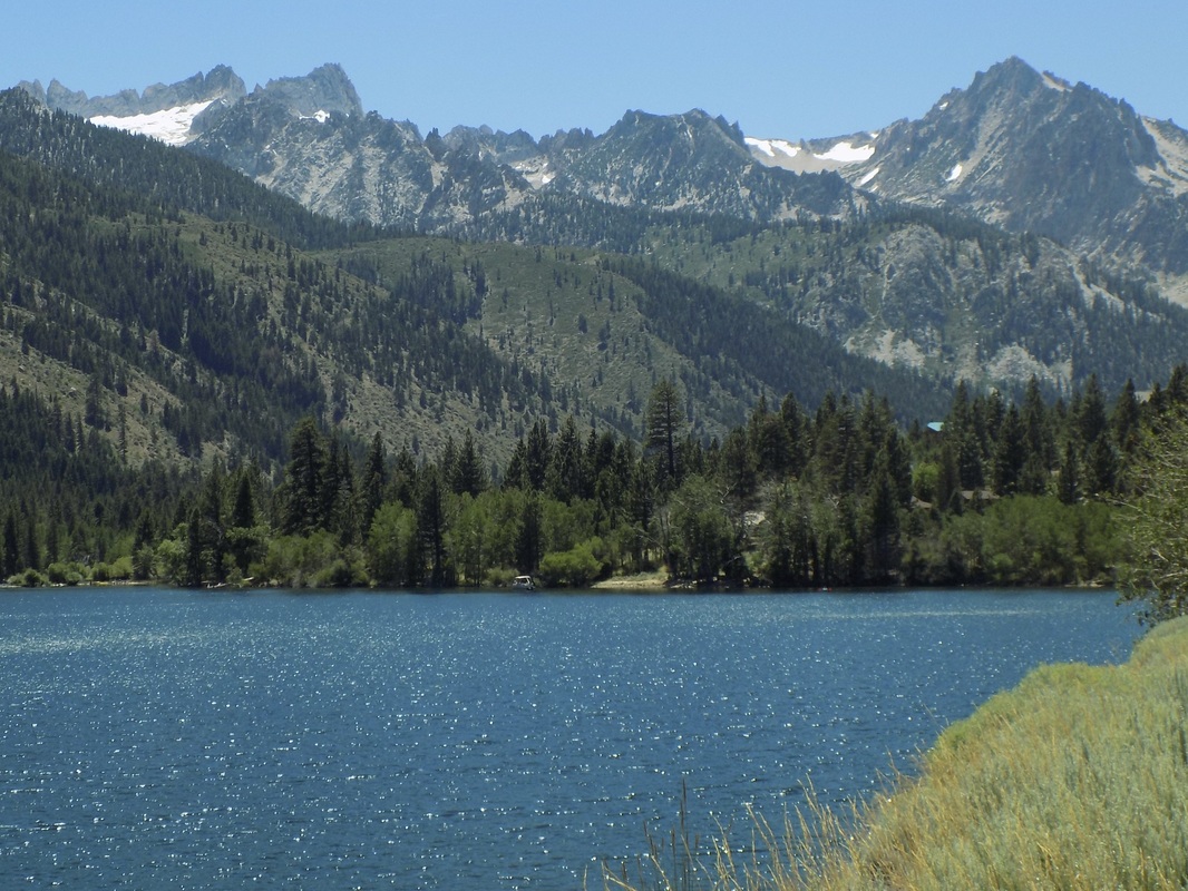
There are loads of campgrounds in the area, but the best one (which also had a day use area for kayakers and picnickers) was the Lower Twin Lakes Campground (make reservations here), which is right on the banks of Robinson Creek and a very short walk from Lower Twin Lake. From the lakes, you can see the Sawtooth Ridge. This ridge forms the northernmost boundary of Yosemite. The tallest peak in this ridge is Matterhorn Peak, which is featured in Jack Kerouac's 1958 novel, The Dharma Bums. The ridge also supports the Sierra's northernmost glacier system. See more photos after the jump!  Oh Ridge Campground, near the charming town of June Lake, is one of the few reservable campgrounds near Mono Lake (see a partially outdated list of campgrounds here). Oh Ridge is in the high desert of the Mono Basin (elevation 7,600 ft). Most of the campsites are in the exposed sagebrush, but some of the loops do face the beautiful glacial lake of June Lake and there are a few trees to provide shade.
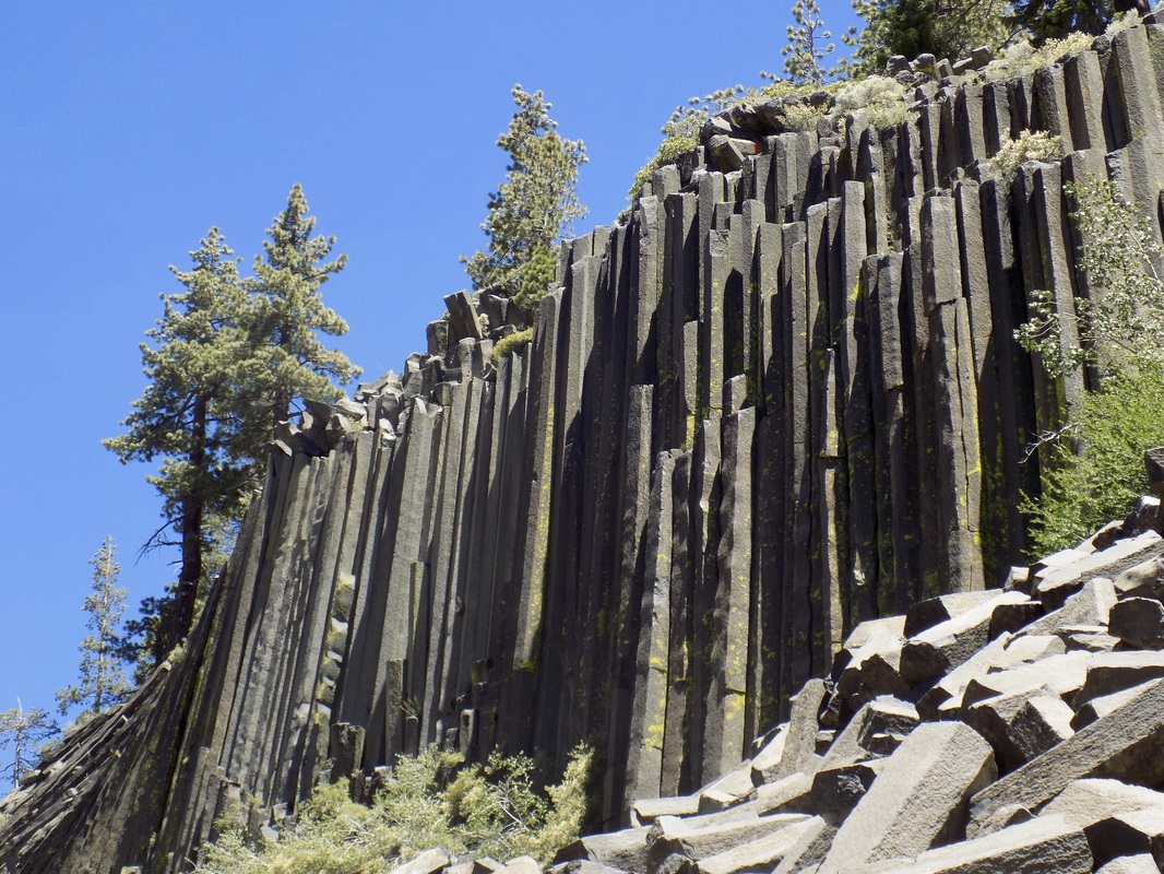 Devils Postpile National Monument is run cooperatively with the National Parks Service and the National Forest Service. It is in the Eastern Sierras near the ski resort area of Mammoth Lakes. The monument is a rare and fascinating geological formation that is the result of ancient volcanoes and glaciers--a landscape of fire and ice.
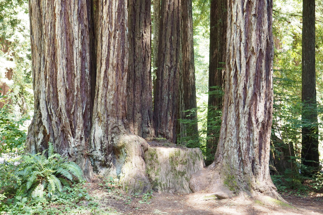
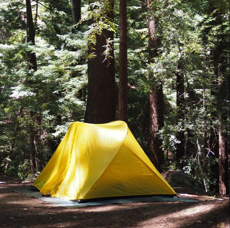
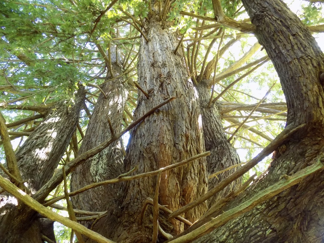 Butano State Park is a one of my favorite parks. I have been on Butano streak, as you will see after the jump!
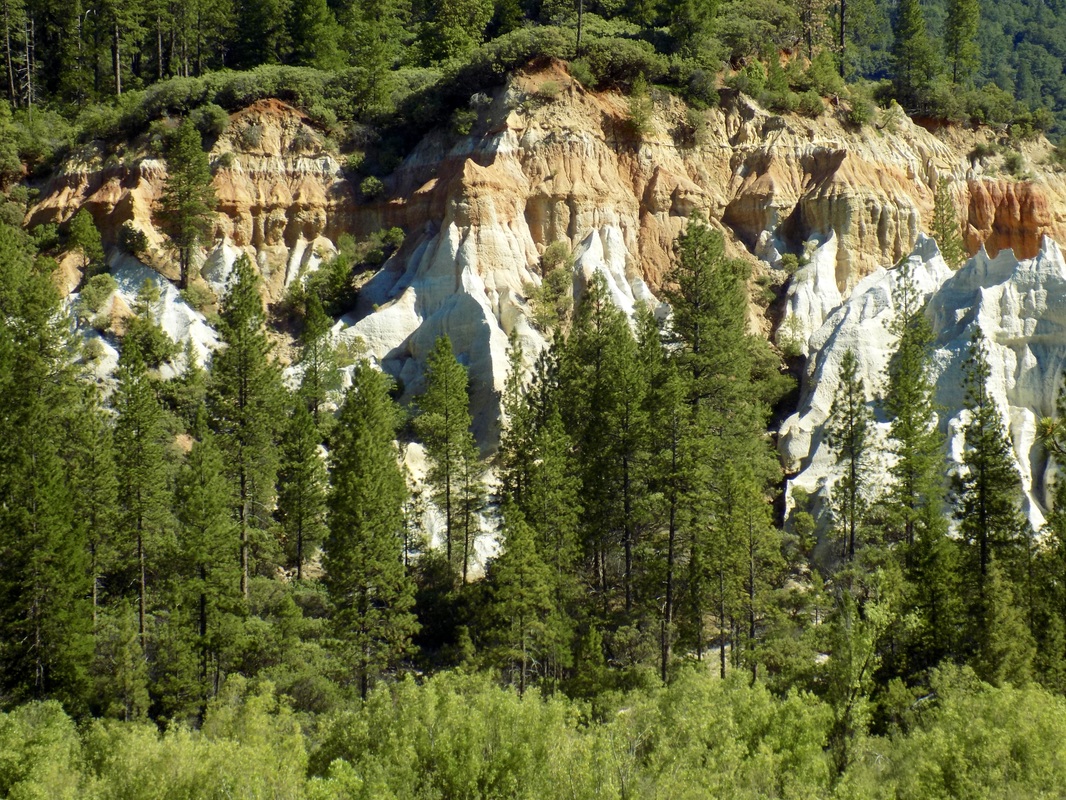 Malakoff Diggins State Historic Park is a fascinating park that offers visitors a peak back in time to the highs and lows of California's gold mining heyday. Here is a helpful blurb from the state park website:
Malakoff Diggins State Historic Park is the site of California's largest "hydraulic" mine. Visitors can see huge cliffs carved by mighty streams of water, results of the gold mining technique of washing away entire mountains to find the precious metal. Legal battles between mine owners and downstream farmers ended this method. The Diggins themselves are really beautiful. They look like some of the red rock formations in Utah. It is weird to see such formations in Northern California, especially because some of the grounds near the foot of the Diggins are still boggy and marshy. The greatest environmental impact was further downstream from the Yuba River, particularly in Marysville where people died because of flooding. It is easy to forget how devastating the pollution from mining was when what remains of this mine is actually very beautiful. The park also has what is more or less a ghost town. It is definitely worth it to take the ranger-led tour of North Bloomfield so that you can go inside some of the old buildings like the saloon, pharmacy, general store, and a residence. Plus, the park rangers here are the friendliest park rangers I have ever met! See my mom's painting of Chute Campground and my photos of the Diggins after the jump. |
Archives
December 2020
Categories
All
|
 RSS Feed
