Lonely Hiker
  • Home
  • About
  • Regions
  • Parks
  • Trails
  • Photography

Trails

East Shore-Heron Bay Loop at Del Valle

7/21/2019

0 Comments

 
Picture
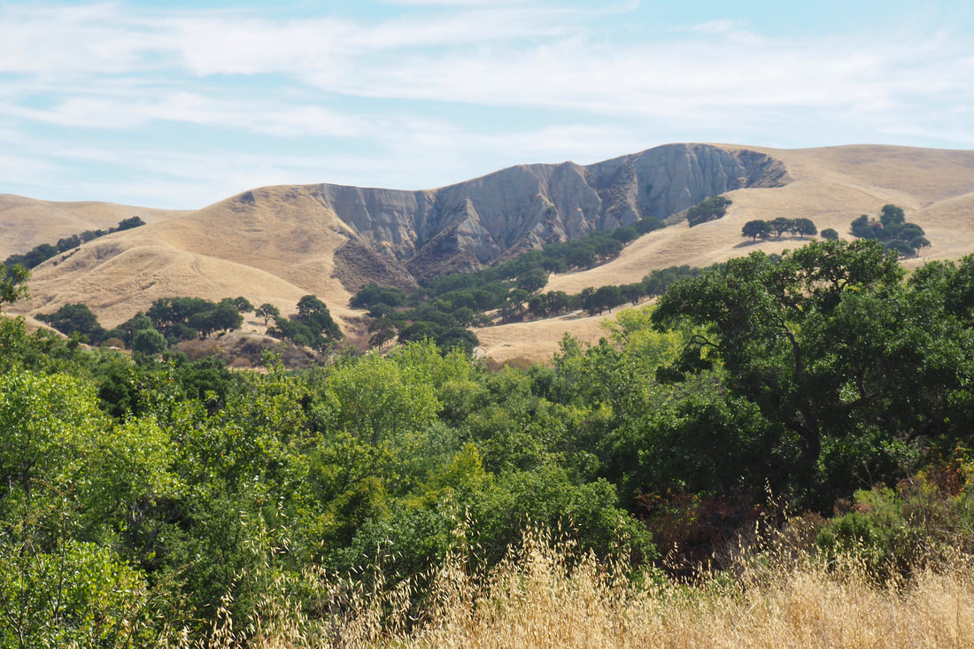
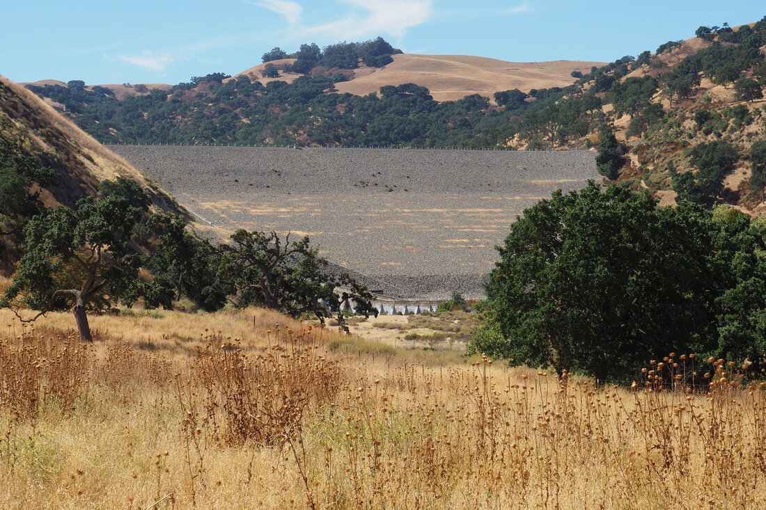
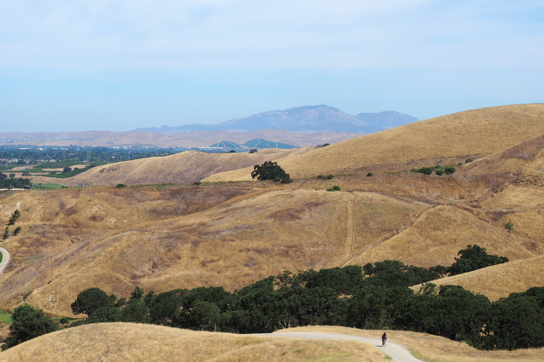
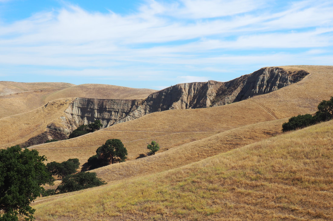
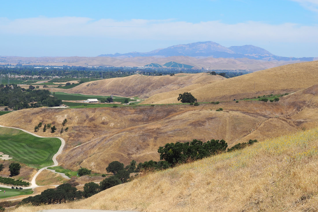
I've been taking care of my daughter during the weekdays while I am on a reduced work schedule for the summer (I am a teacher), so most of my hikes and outings lately have been geared more towards her. However, today (a Sunday), I got to have a solo hike for the first time in a long time. I decided to check out a trail that I have been thinking about at one of my all-time favorite open space parks: Del Valle Regional Park. It was a surprisingly cool day for summer in Livermore, and it was really lovely to hike in the morning.
Picture
Picture
Picture
Picture
Detail from the EBRPD map
This 3.85-mile hike starts from the Arroyo Road Staging Area at the far north end of Del Valle. This part of the park is near Sycamore Grove Park.

Take the East Shore Trail past the Arroyo del Valle, which is fed by the dam to the reservoir, and up the steep hill. This part of the trail is by far the hardest part of the whole loop. Once you get to the oak tree at the crest with the two benches under it, then it is all smooth sailing from then on.
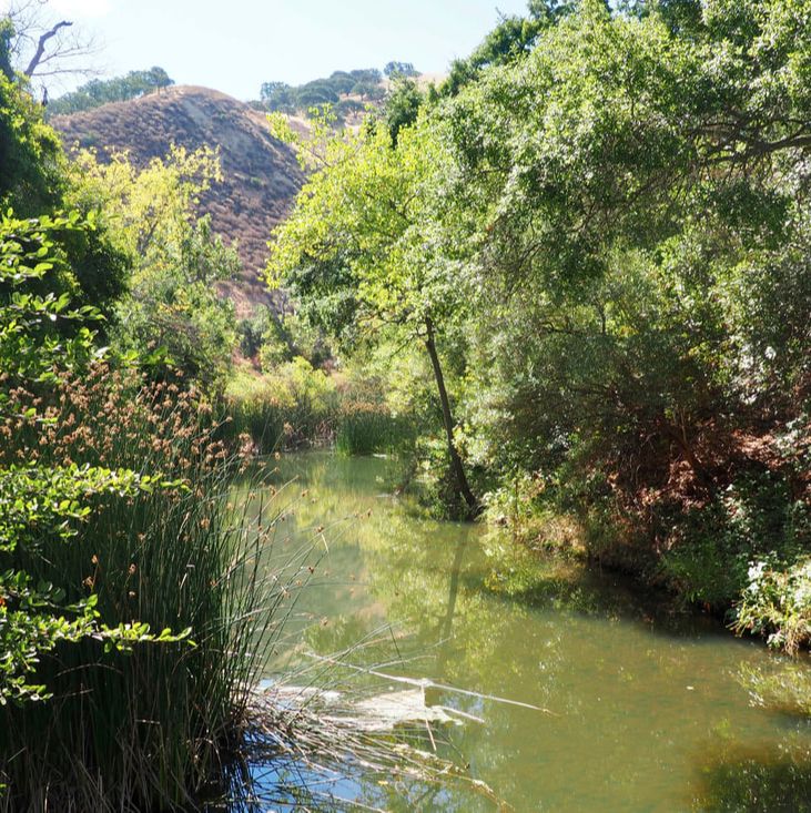
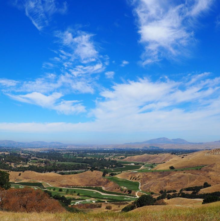
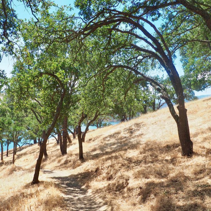
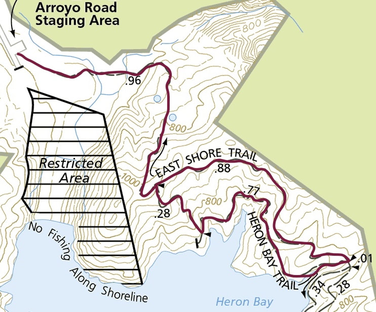
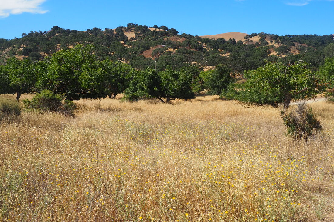
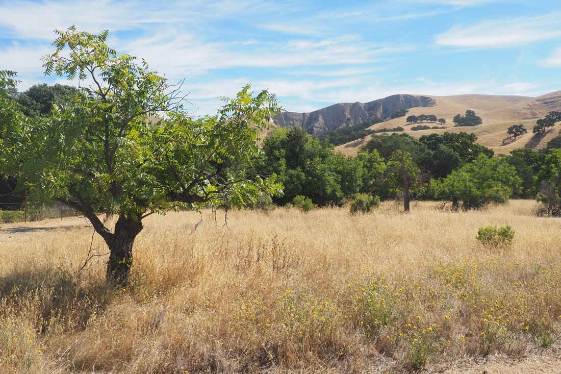
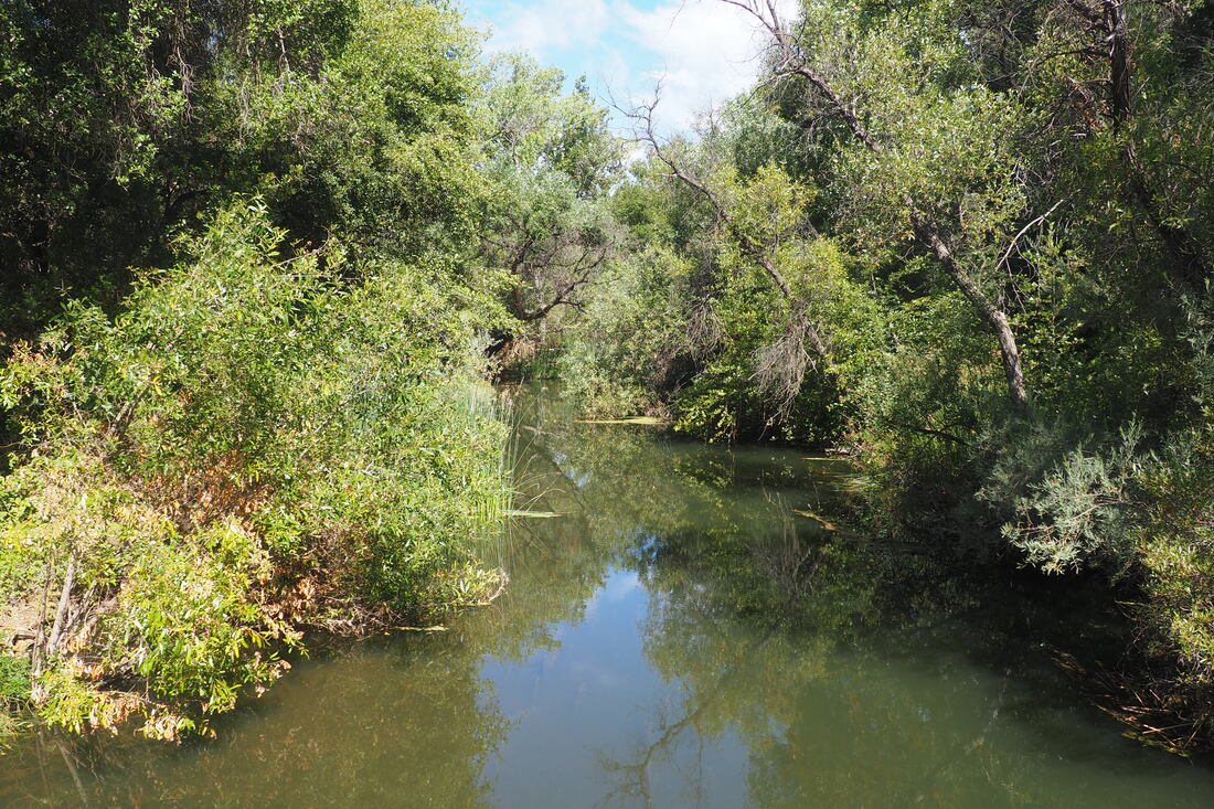
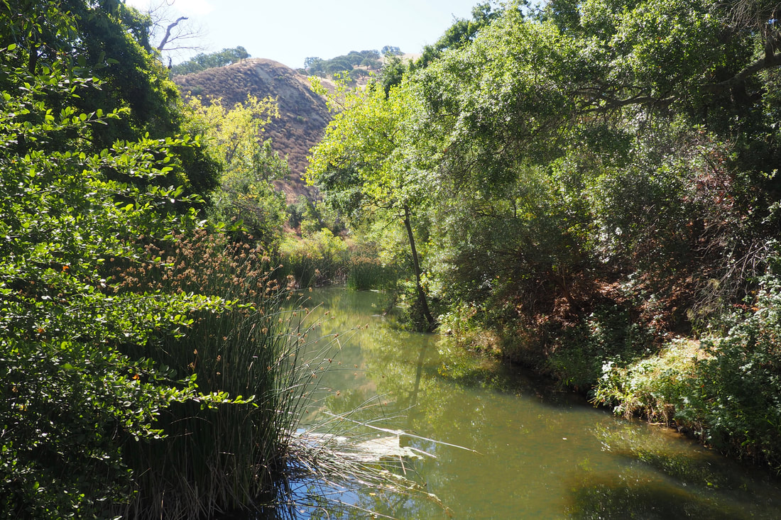
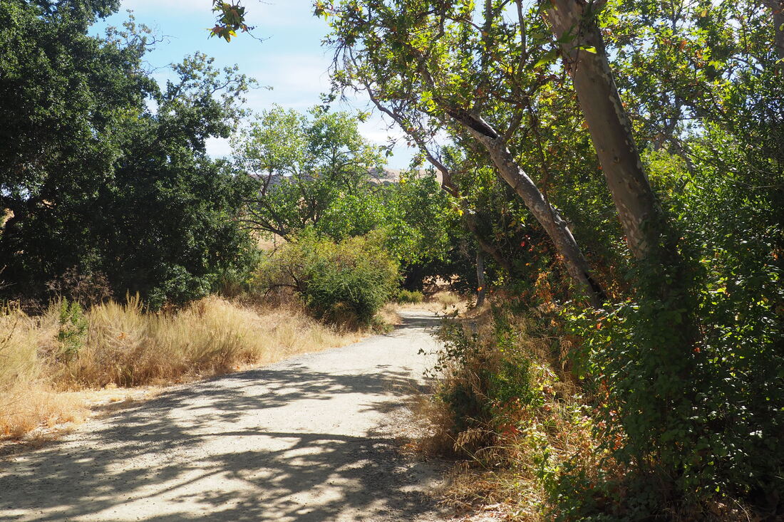
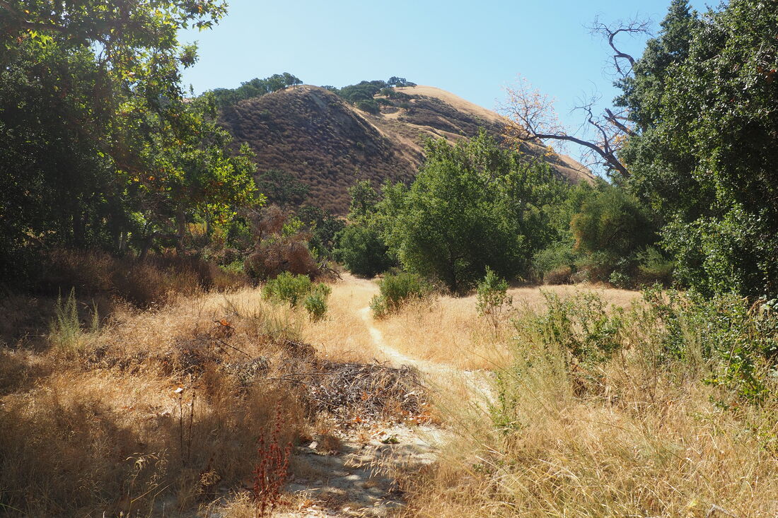
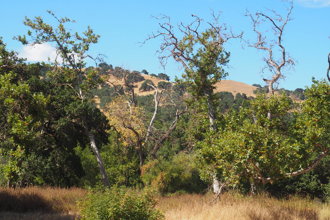
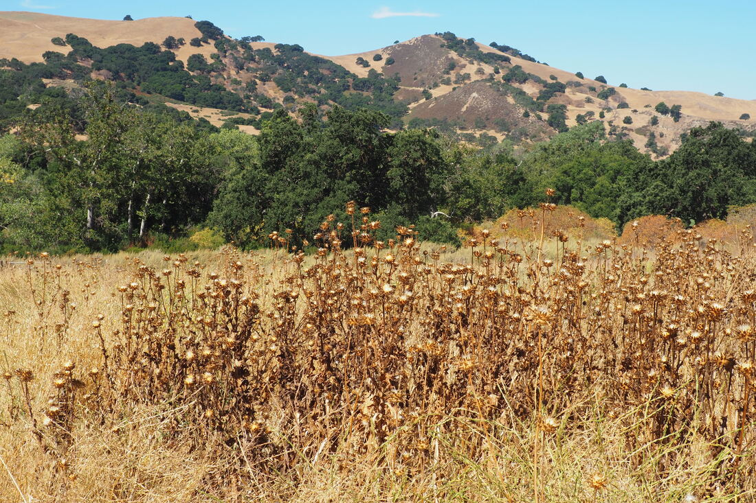
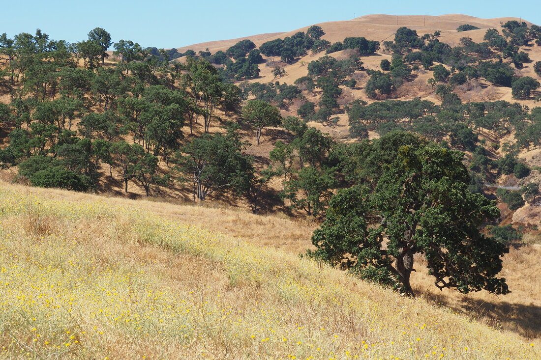
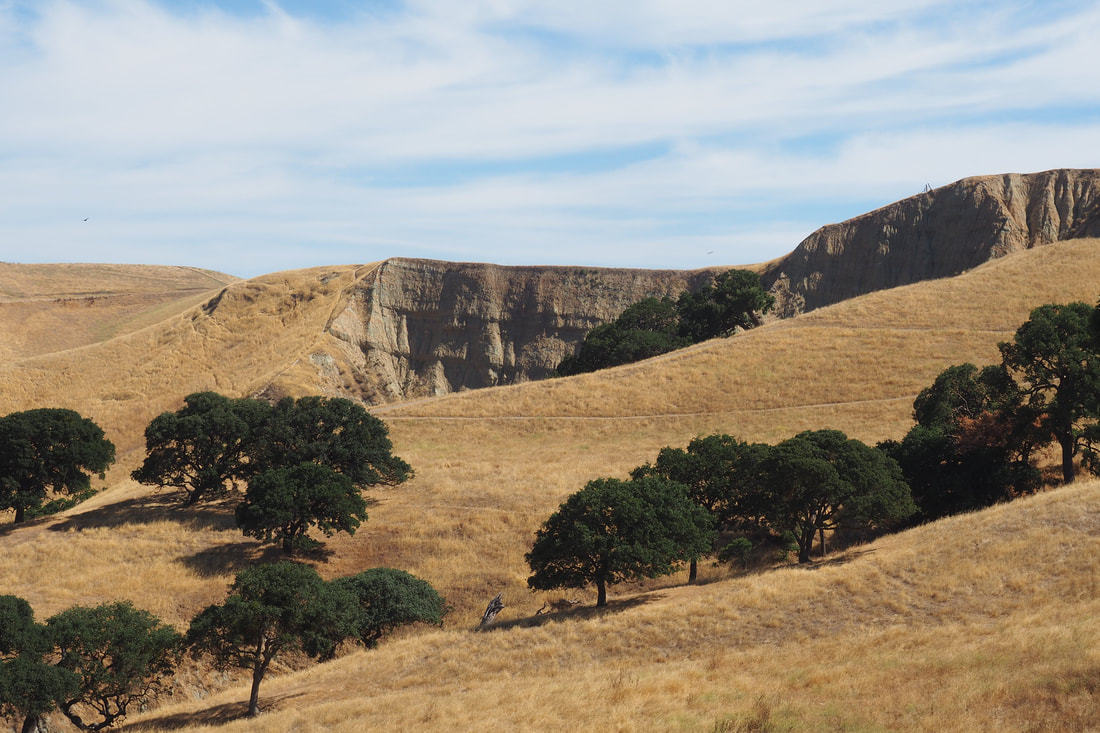
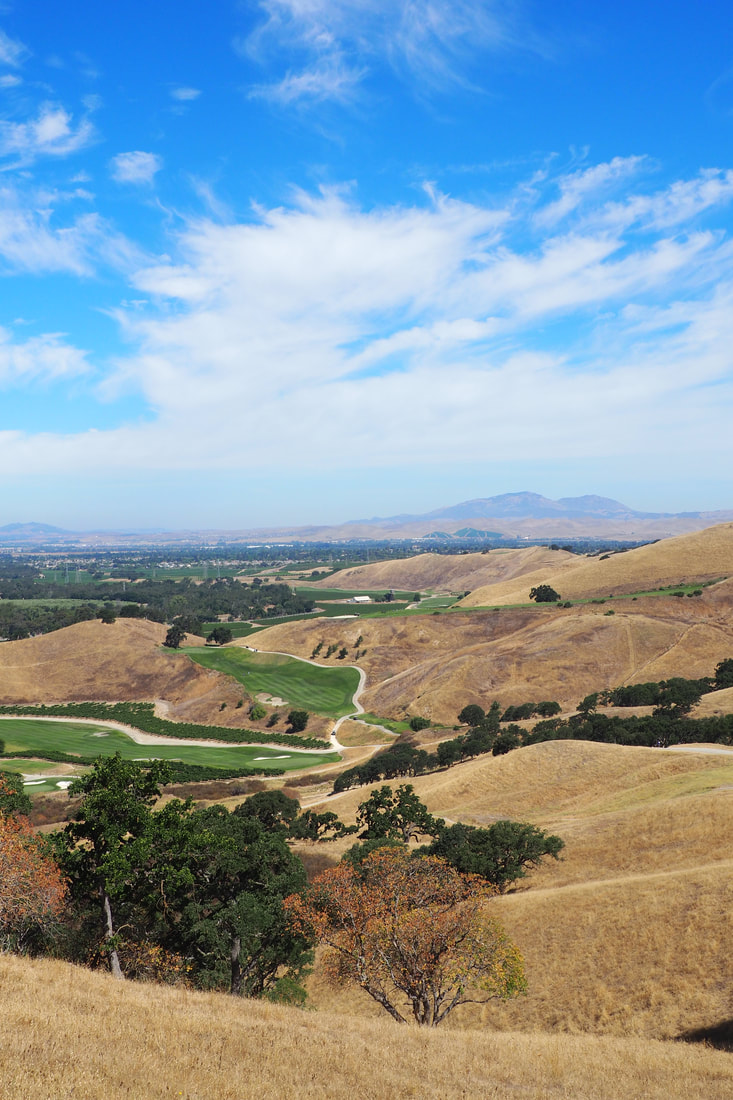
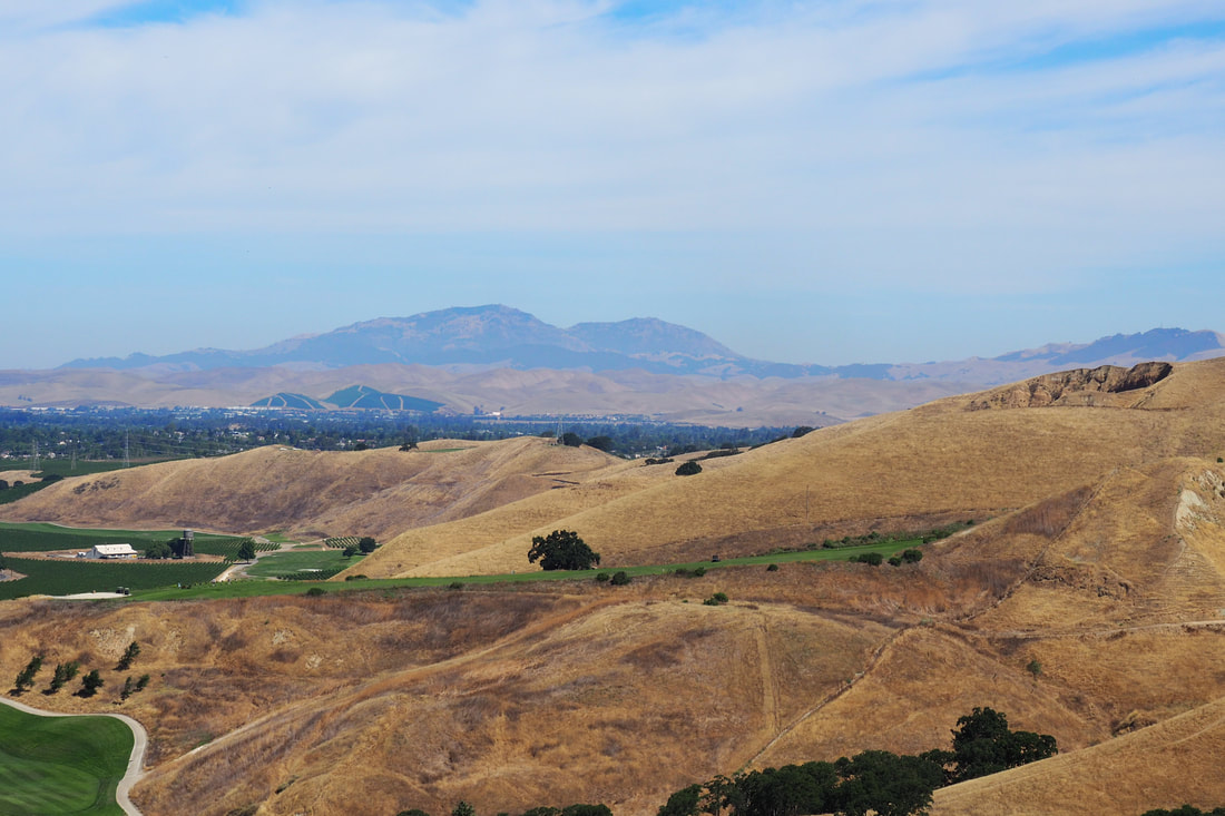
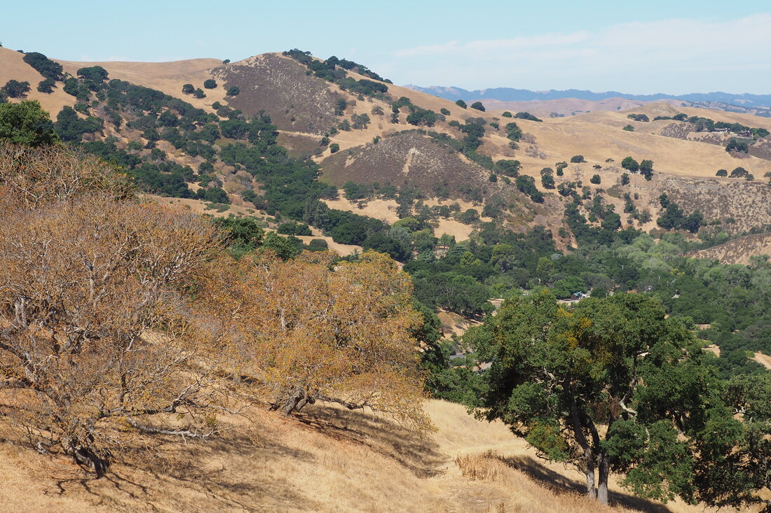
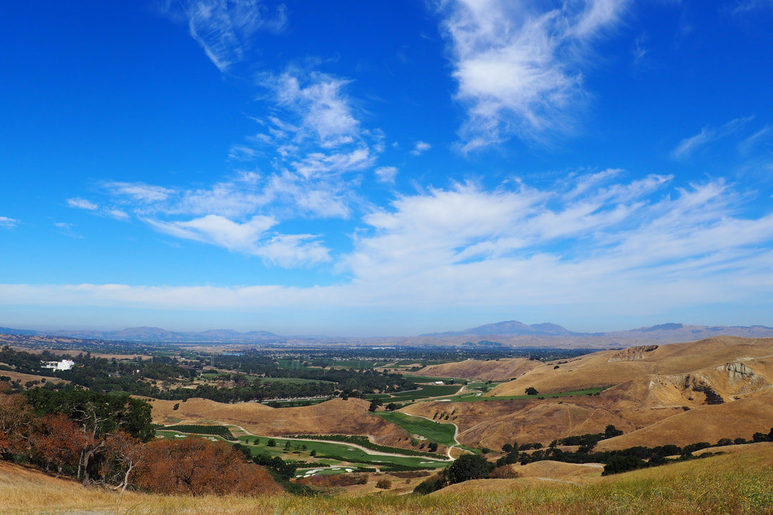
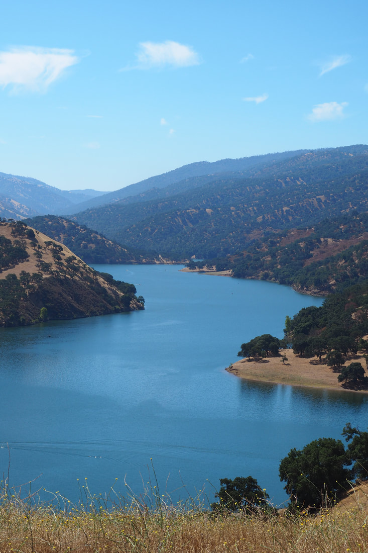
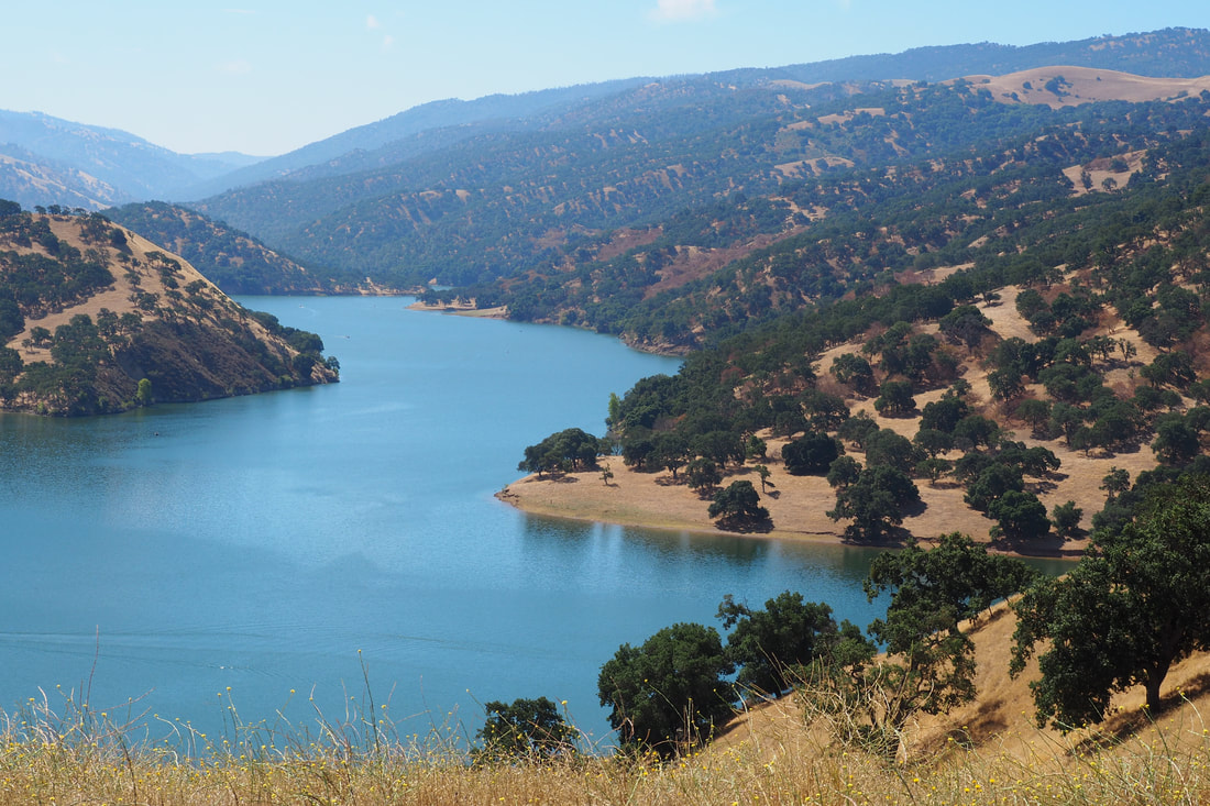
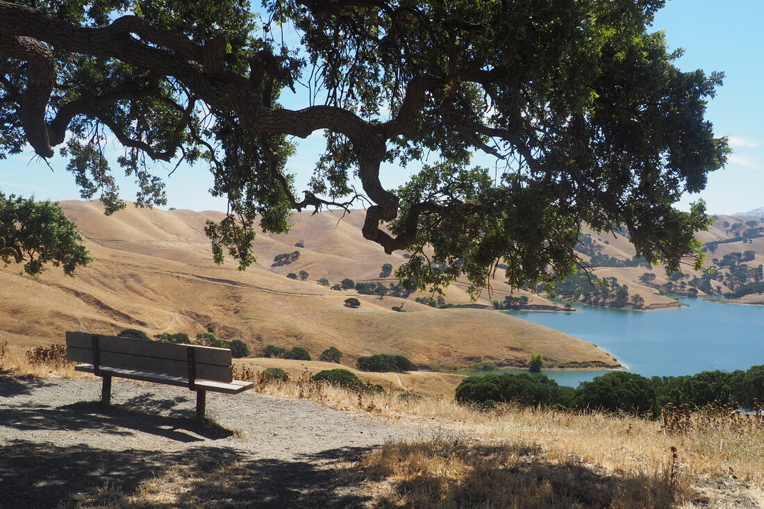
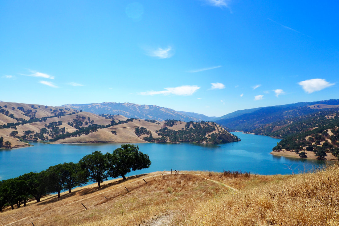
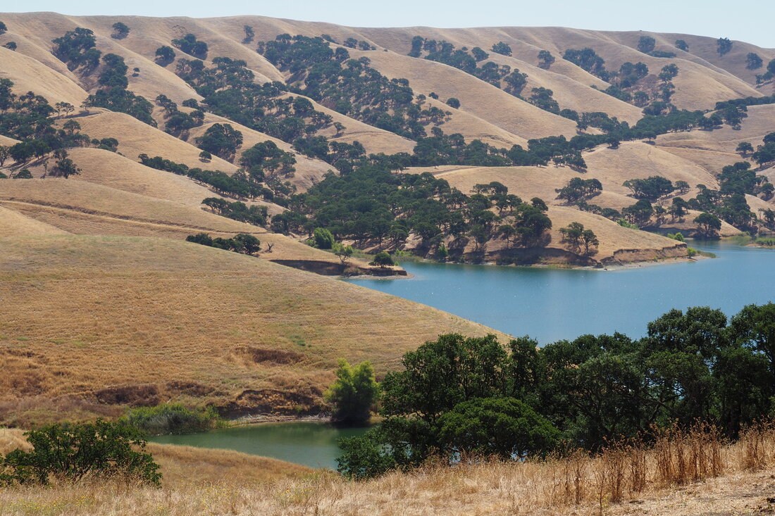
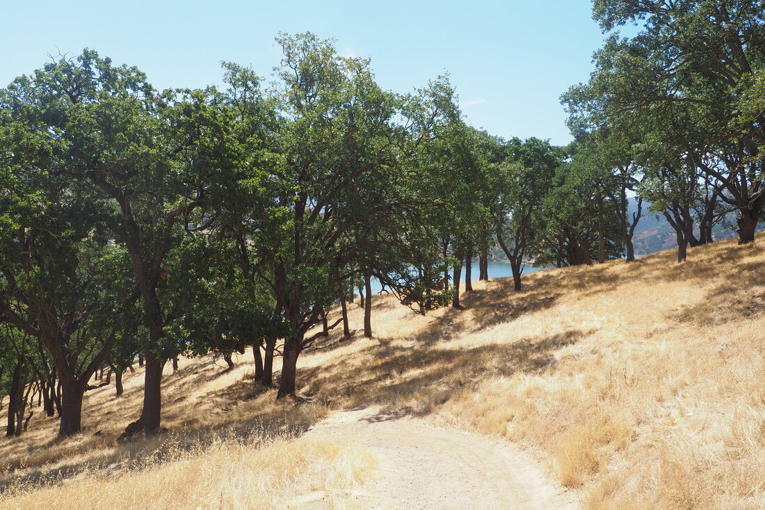
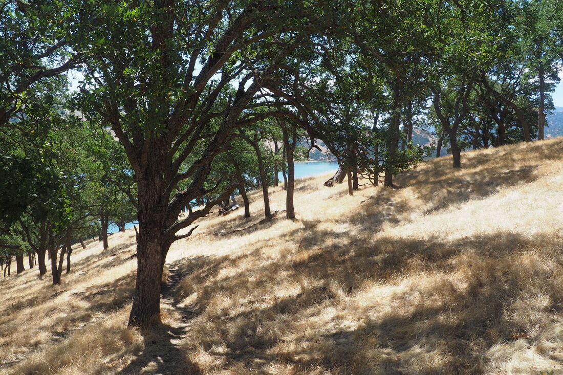
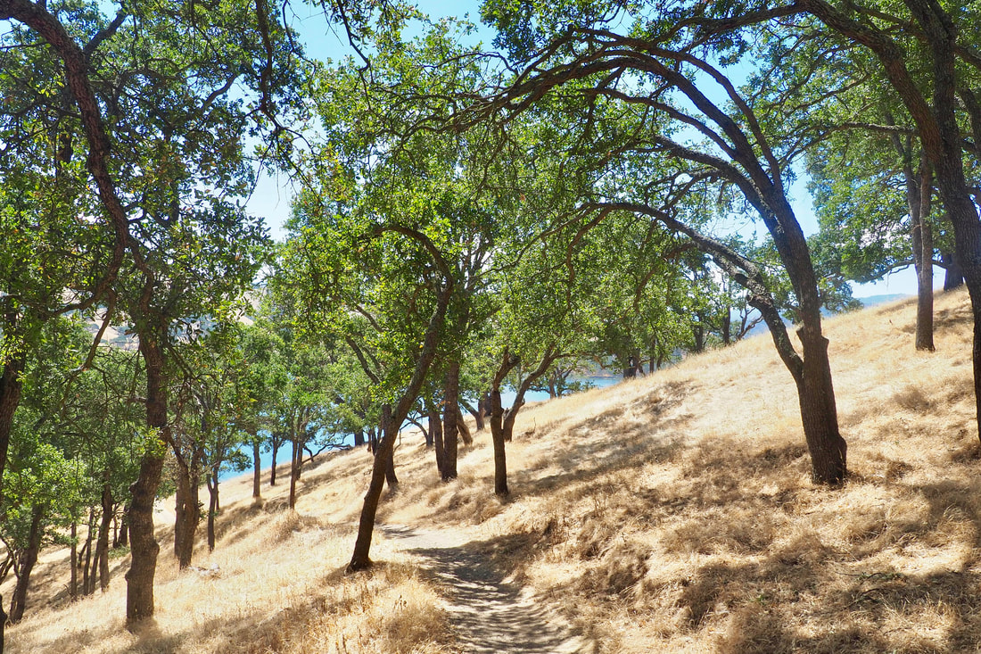
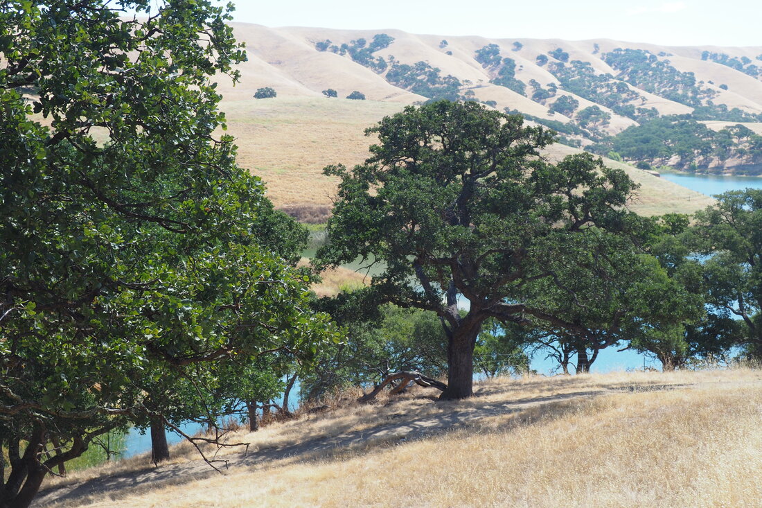
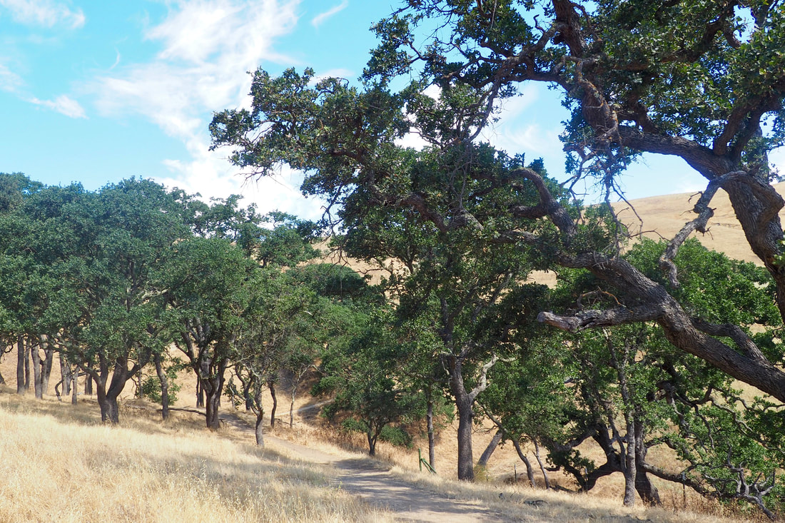
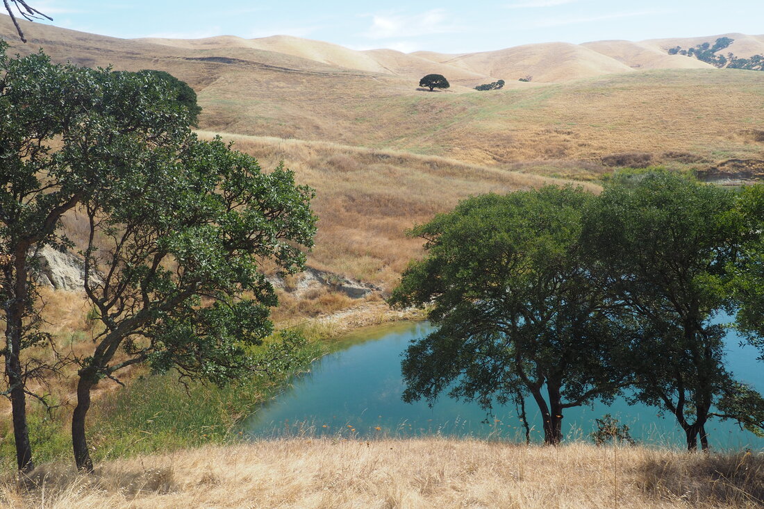
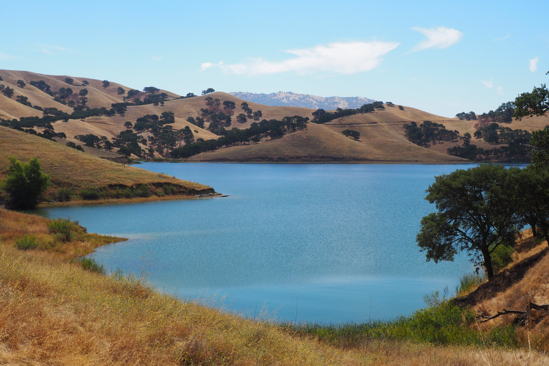
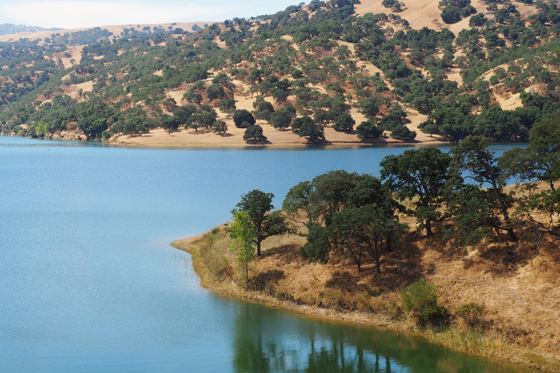
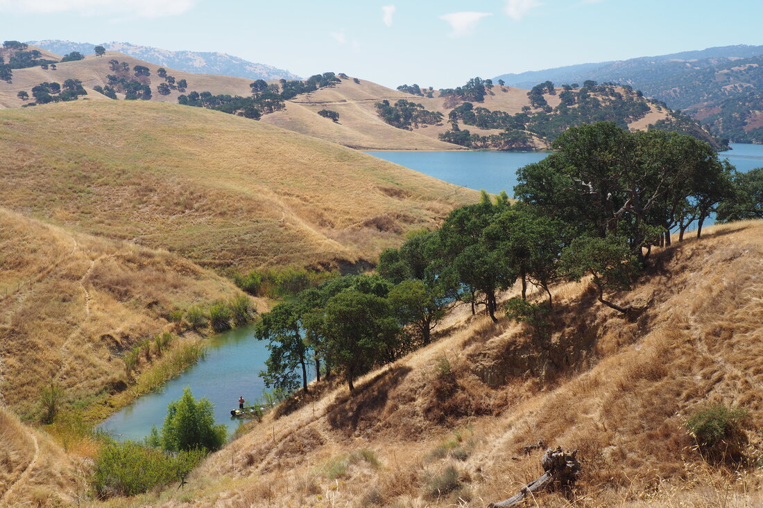
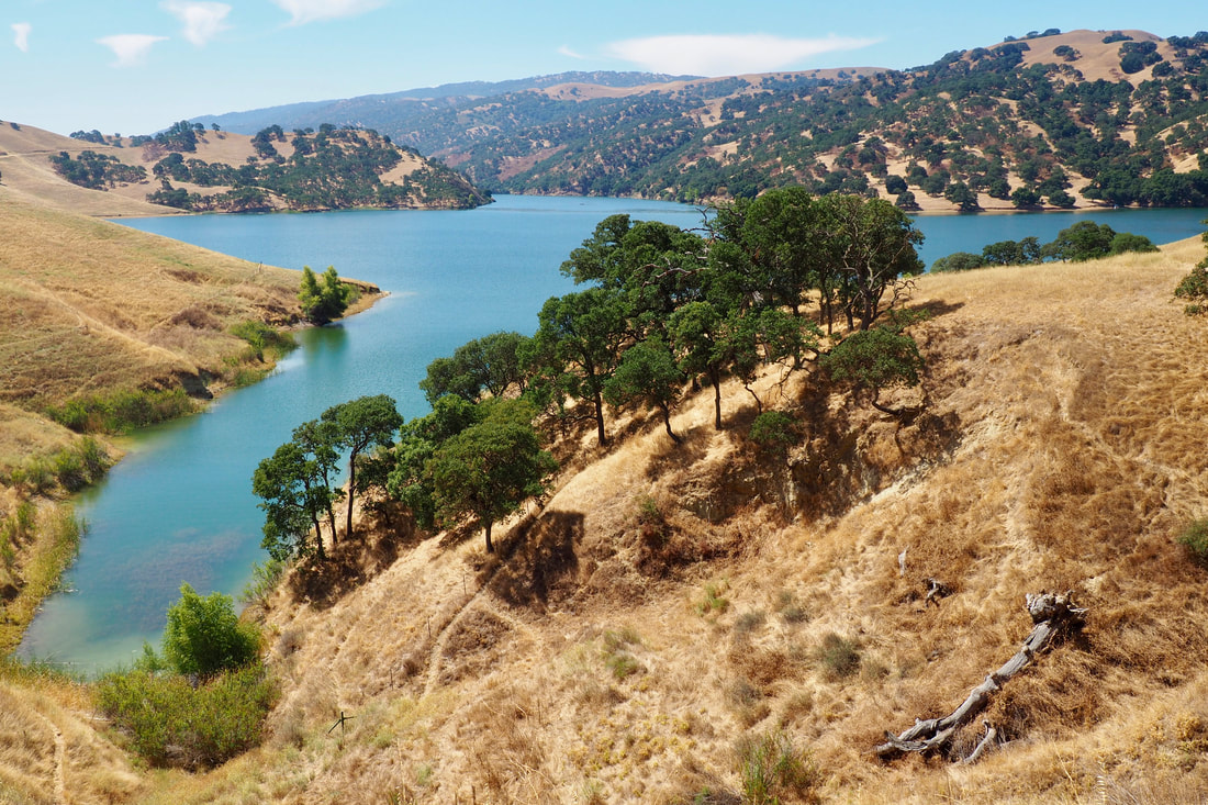
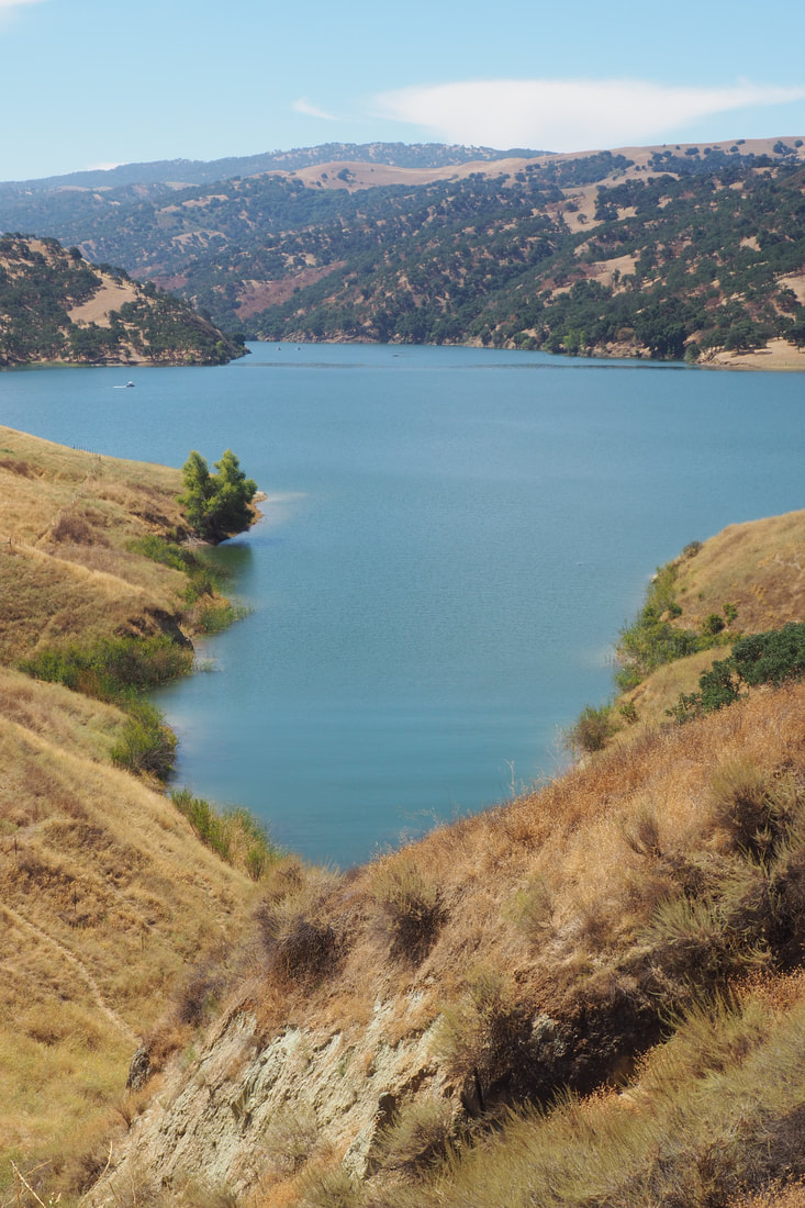
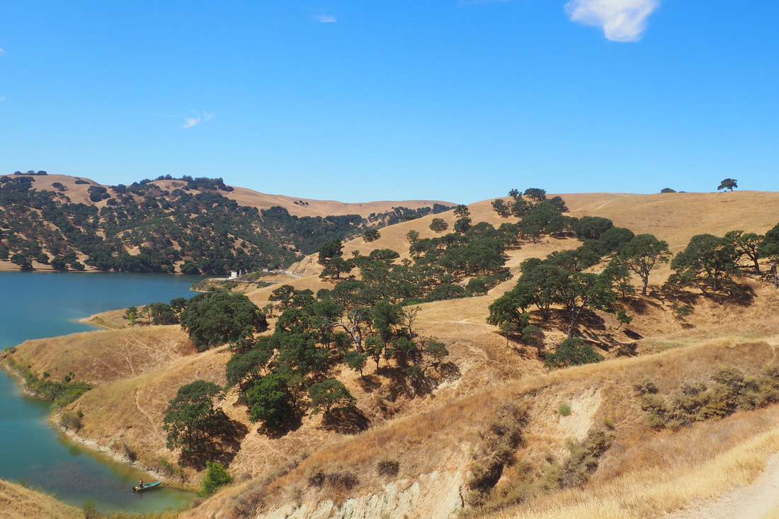
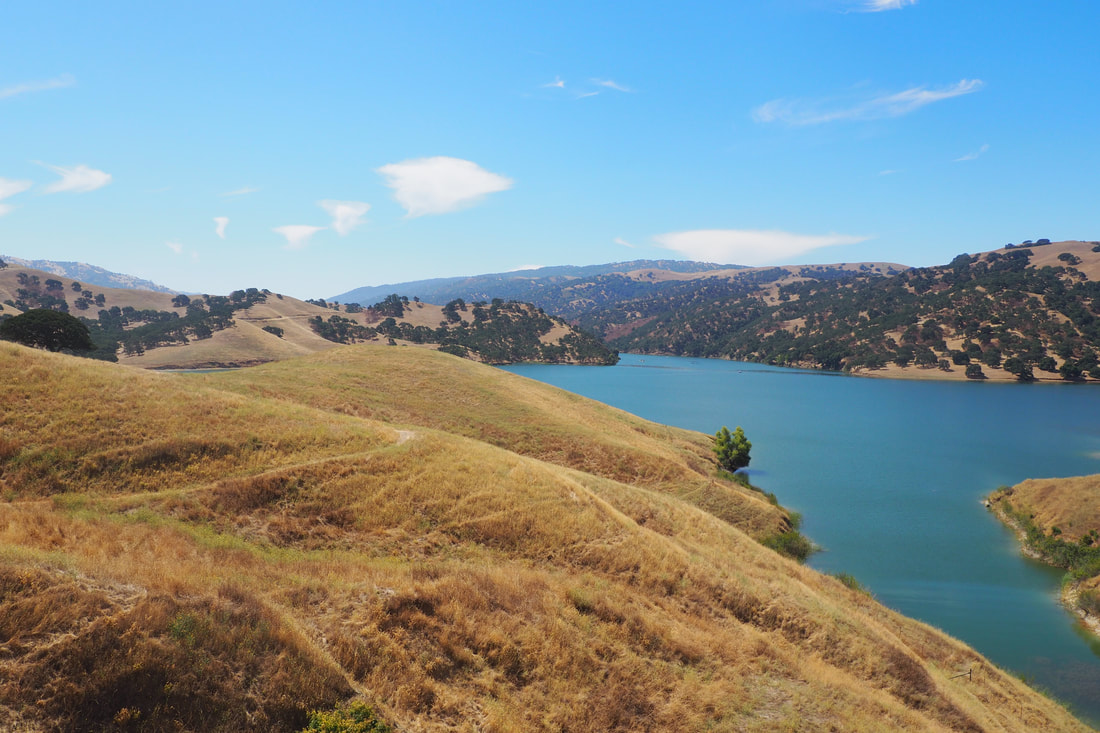
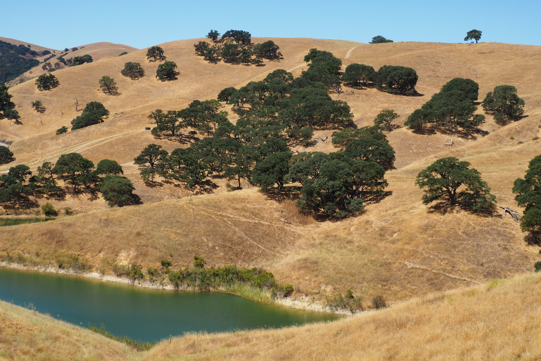
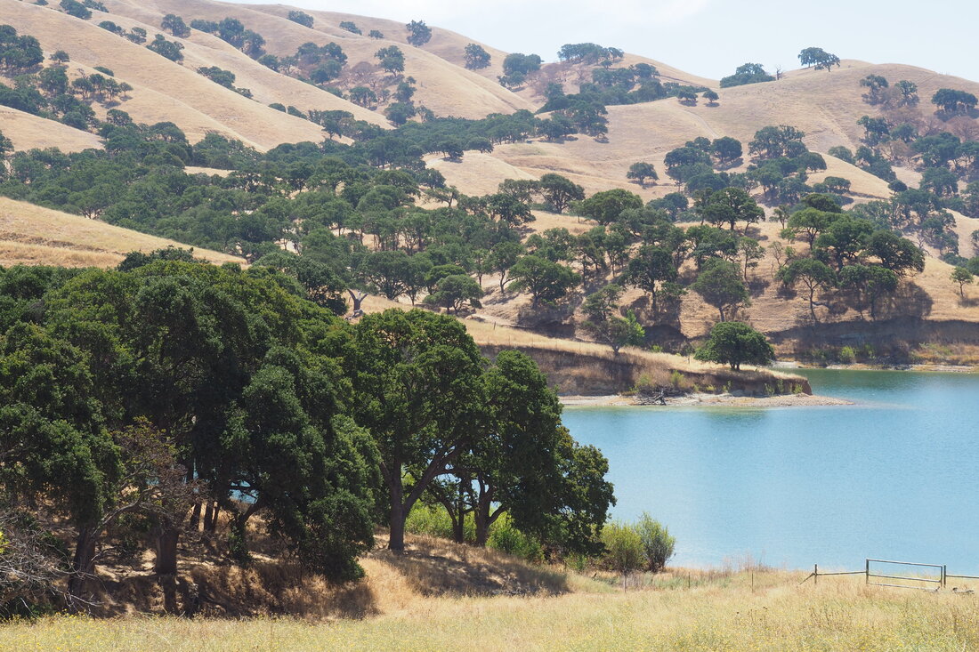
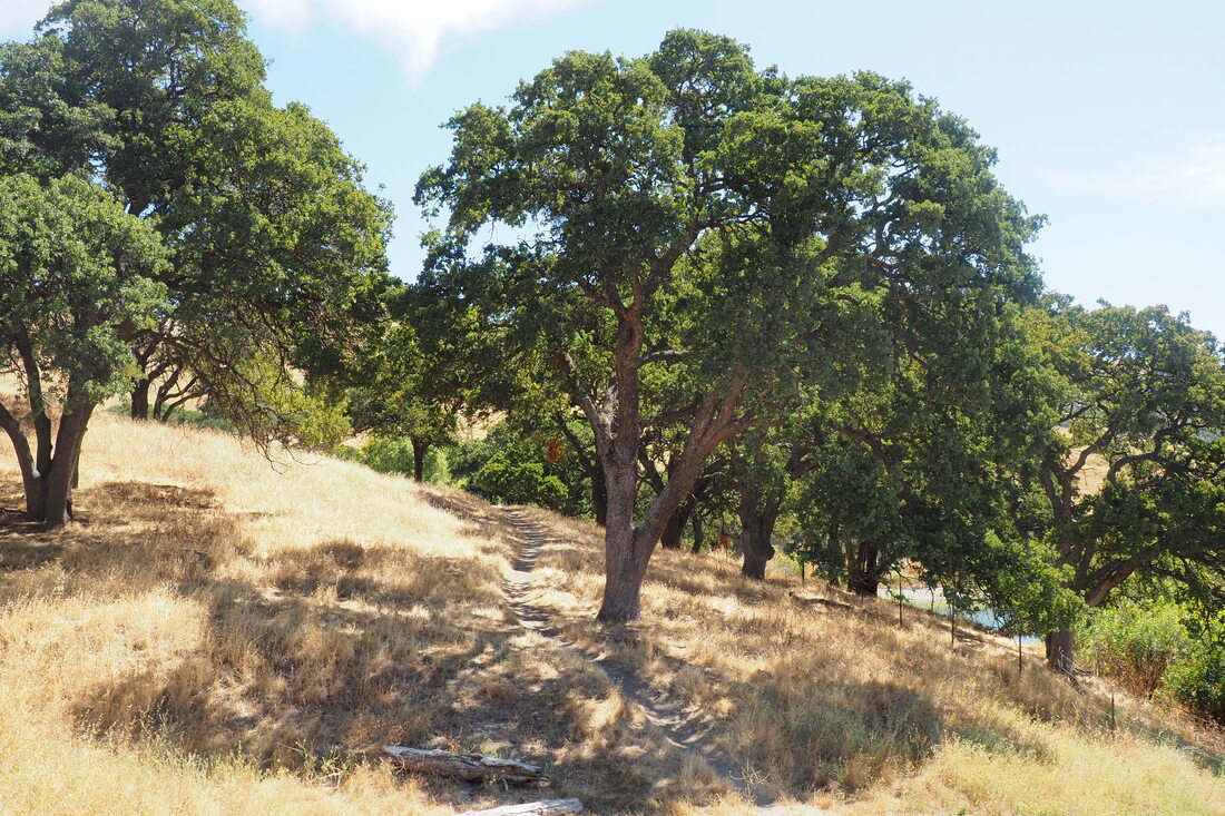
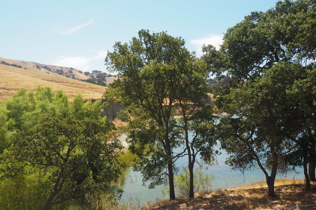
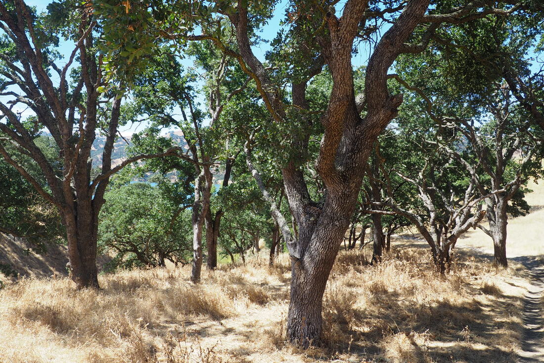
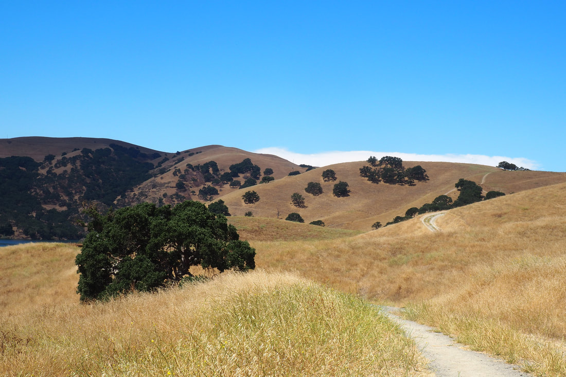
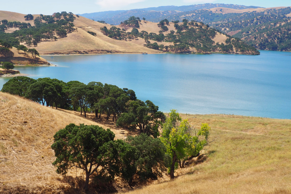
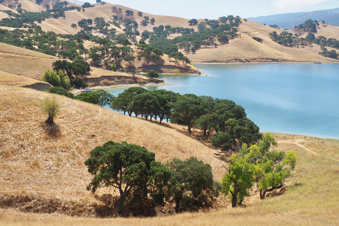
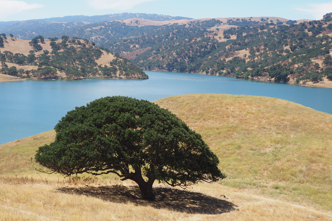
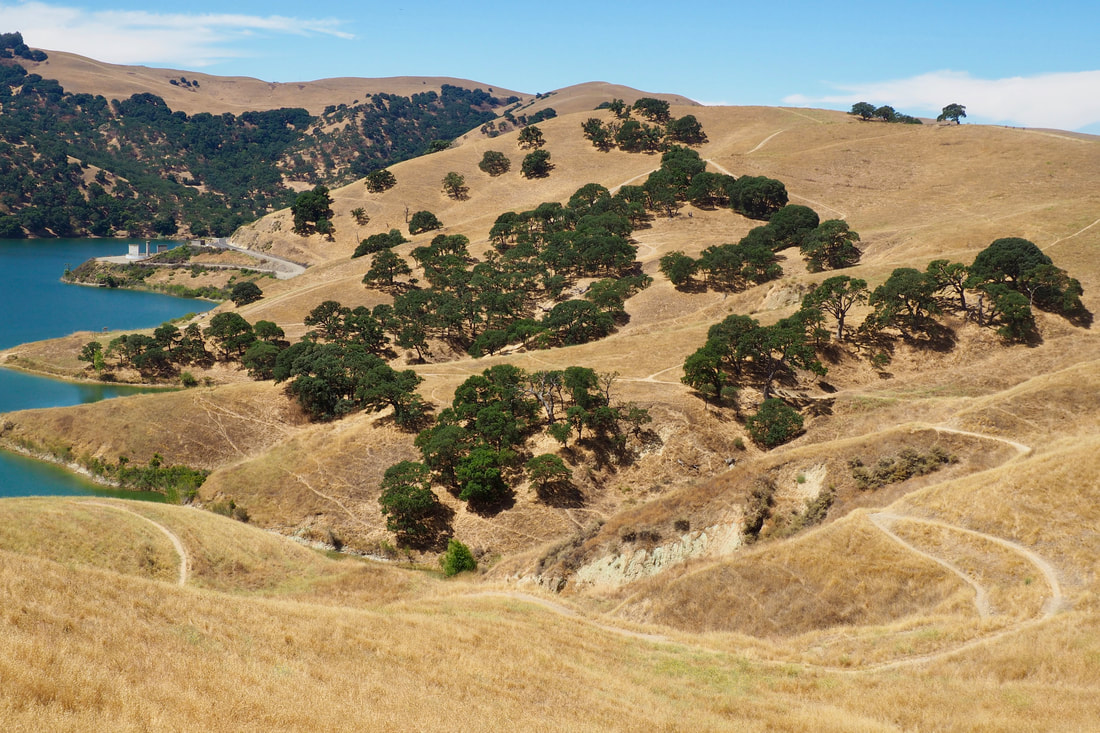
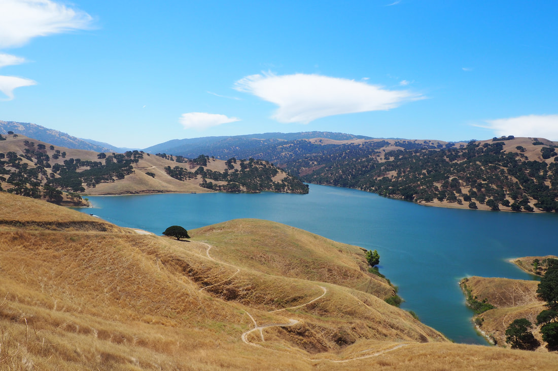
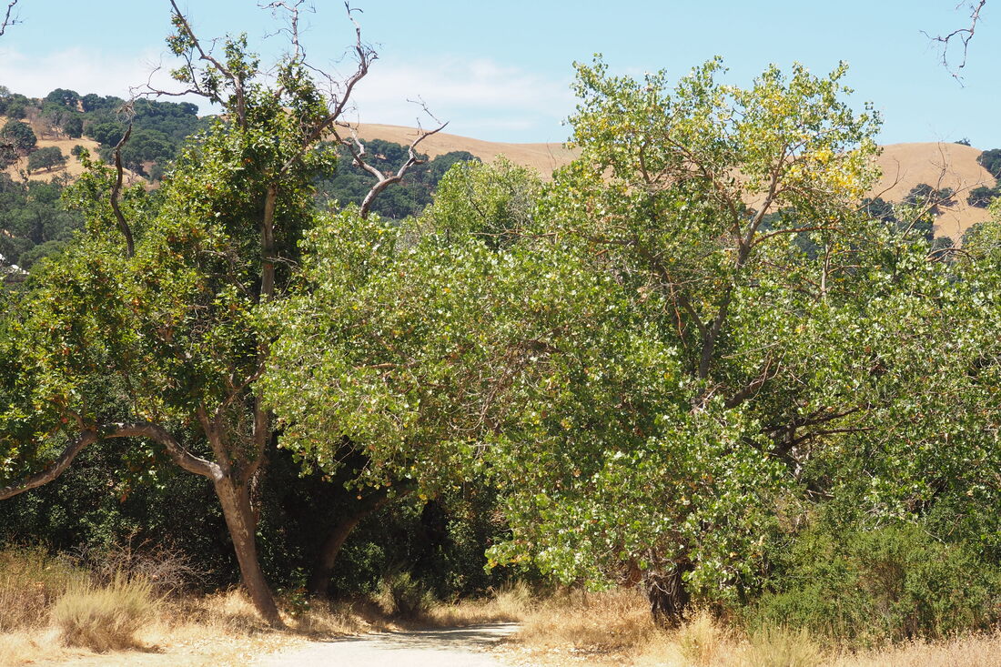
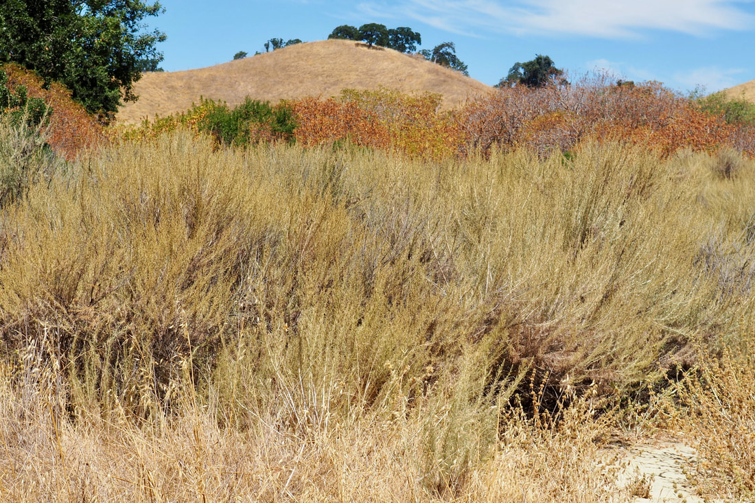
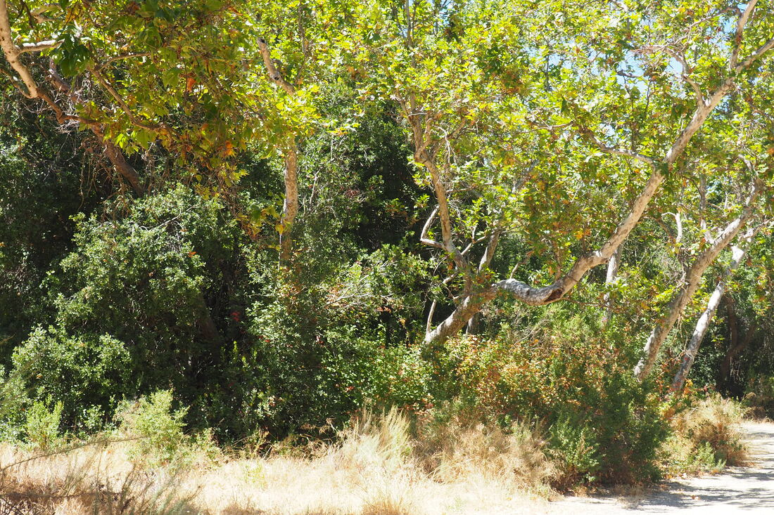
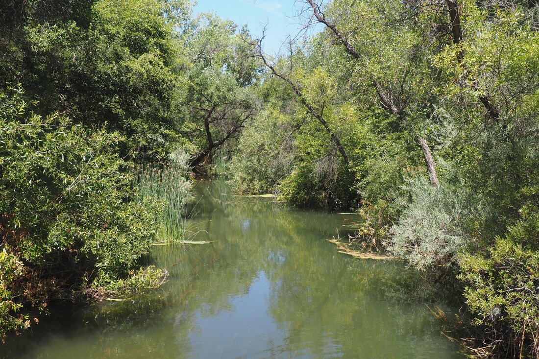
I took the single-track Heron Bay Trail down, and I recommend this route. It was quieter and the path was more beautiful as it wound through shady clusters of oaks. The water is just stunningly blue against the golden browns of the grassy hills and the greens of the oaks and walnuts. I liked hiking closer down to the water to see the boaters and the fishermen.

The climb up back on East Shore Trail is surprisingly not bad at all. The wide trail is well graded (better graded than Heron Bay), and there was a lovely cool breeze blowing off of the lake. I was worried that this would be a hard part of the hike because it is so exposed, but it was much easier than the initial climb to get to the reservoir.

This loop could be extended: both Heron Bay and East Shore Trails continue on, looping back against each other multiple more times. I headed back when I did to help out with nap time, but I can easily imagine coming back here to explore further into the park. It would also be cool to do a shuttle car system, hiking from the north end of the park to the south end where I could meet my family at the swimming area. Plans for another day!

I do not recommend this hike for people with very young kids. I saw a family on a hike with a parent carrying a toddler in a carrier, and it seemed like they were pretty worn out. There are lots of more kid-friendly sections of the park in the southern end.
0 Comments


Leave a Reply.

    Archives

    December 2020
    November 2020
    October 2020
    September 2020
    August 2020
    July 2020
    June 2020
    May 2020
    April 2020
    March 2020
    February 2020
    January 2020
    December 2019
    November 2019
    October 2019
    September 2019
    August 2019
    July 2019
    June 2019
    May 2019
    April 2019
    March 2019
    February 2019
    January 2019
    December 2018
    November 2018
    October 2018
    September 2018
    August 2018
    July 2018
    June 2018
    May 2018
    April 2018
    March 2018
    February 2018
    January 2018
    November 2017
    October 2017
    September 2017
    August 2017
    April 2017
    March 2017
    February 2017
    January 2017
    November 2016
    October 2016
    September 2016
    August 2016
    July 2016
    June 2016
    May 2016
    April 2016
    March 2016
    February 2016
    January 2016
    December 2015
    November 2015
    October 2015
    September 2015

    Categories

    All
    Art Expedition
    Bay Laurel Trees
    Bayside
    Beaches
    Berkeley City Parks
    Bureau Of Reclamation
    Camping
    Cliffs
    Coastside
    Contra Costa Water District
    Creeks
    Deserts
    East Bay Municipal Utility District
    East Bay Regional Park District
    EBRPD Trails Challenge
    Eucalyptus
    Flat Hikes
    Gulf Coast Family Vacation
    Historical Sites
    Kid Friendly
    Lakes
    LARPD
    Length: 10 To 15 Miles
    Length: 15+ Miles
    Length: 1 To 5 Miles
    Length: 5 To 10 Miles
    Madrones
    Manzanita
    Maples
    Marin County Parks
    Midpeninsula Regional Open Space Preserves
    Mountains
    Museums
    National Forest Service
    National Parks
    National Wildlife Refuge
    Oakland City Parks
    Oaks
    Palo Alto & Atherton Parks
    Peninsula Open Space Trust
    Pleasanton City Parks
    Portola Valley Town Trails
    Redwoods
    Rocks
    San Francisco City Parks
    San Mateo County Parks
    Santa Clara County Parks
    Santa Cruz City Parks
    Sierras
    Stanford
    State Parks
    Swimming Holes
    Sycamores
    Trains
    Tri-Valley
    UC Berkeley
    UC Davis
    Walnut Creek Parks
    Wetlands
    Wildflowers
    Wildlife
    Zoos Farms & Wildlife Preserves

    RSS Feed

Powered by Create your own unique website with customizable templates.
  • Home
  • About
  • Regions
  • Parks
  • Trails
  • Photography