|
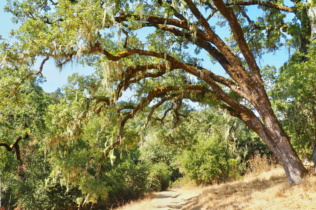
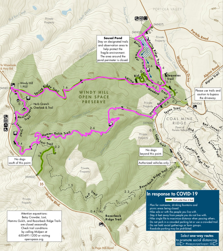
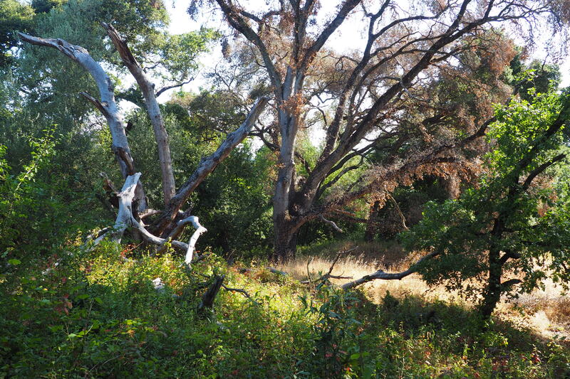
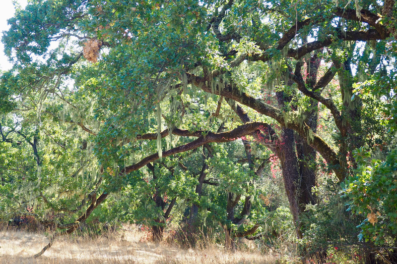
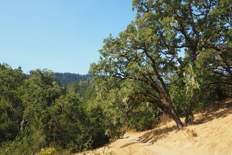
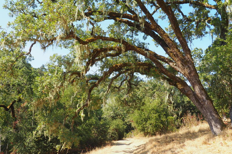
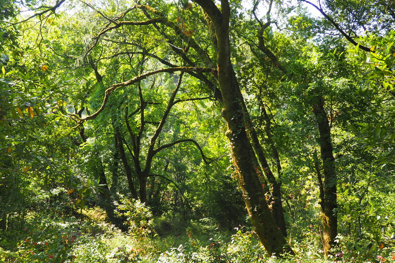
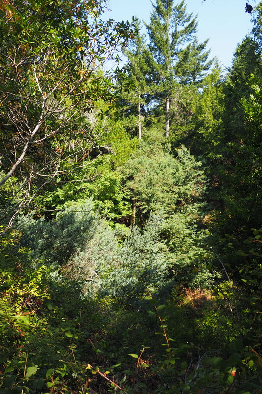
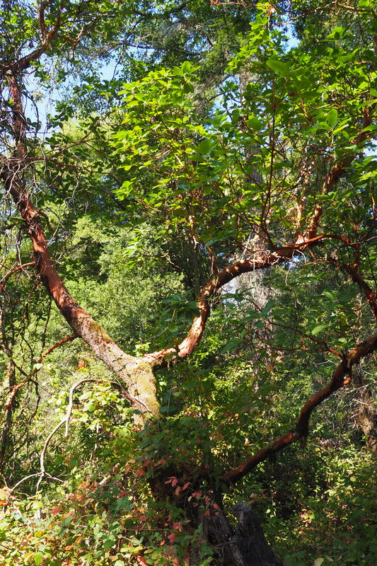
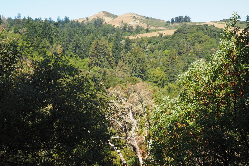
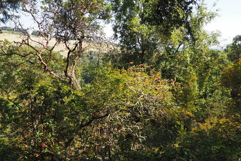
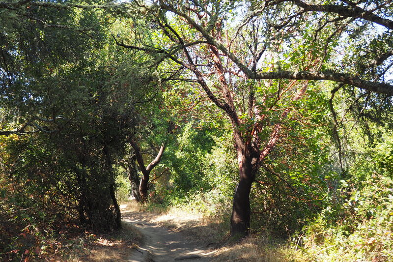
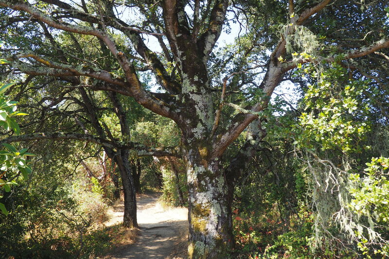
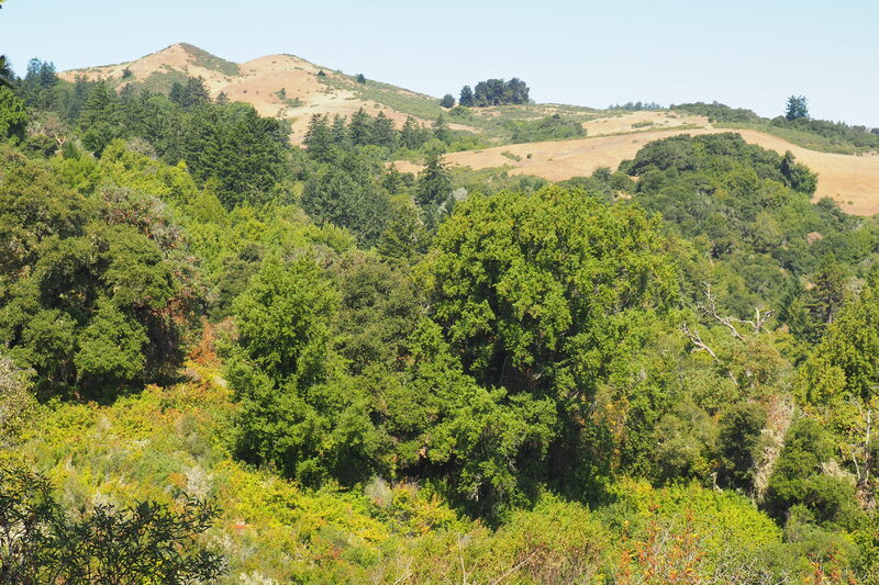
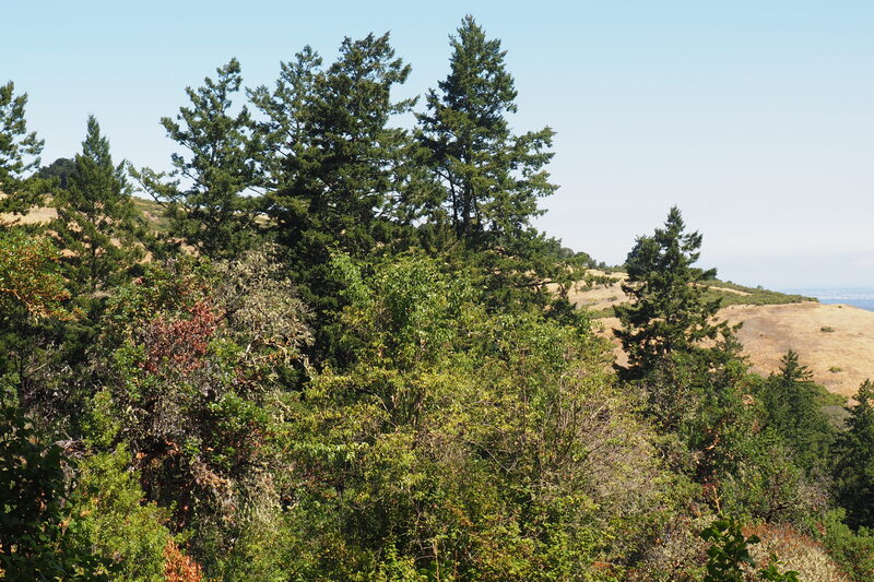
I took a super enjoyable 7.9-mile loop through Windy Hill Preserve today. It was a glorious hike through a beautiful variety of forests and landscapes. It's made me wish I had explored deeper into this park before I moved away from the peninsula!
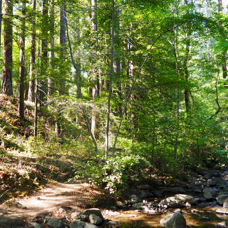
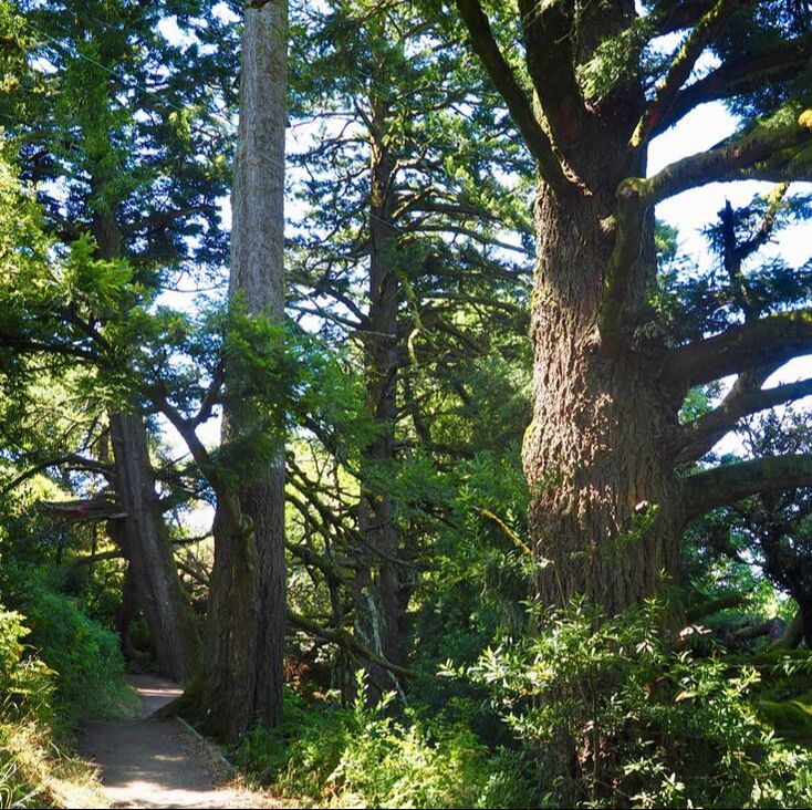
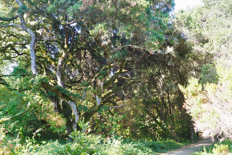
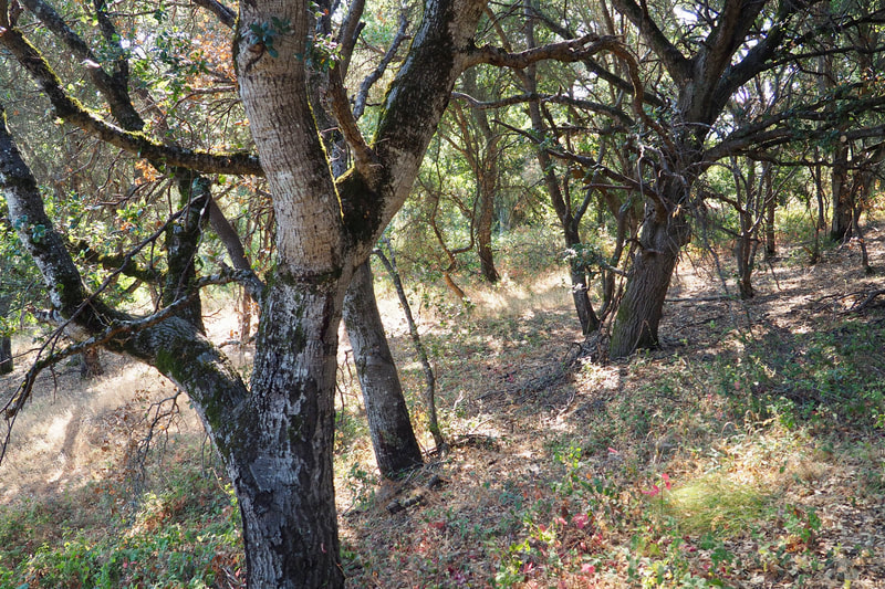
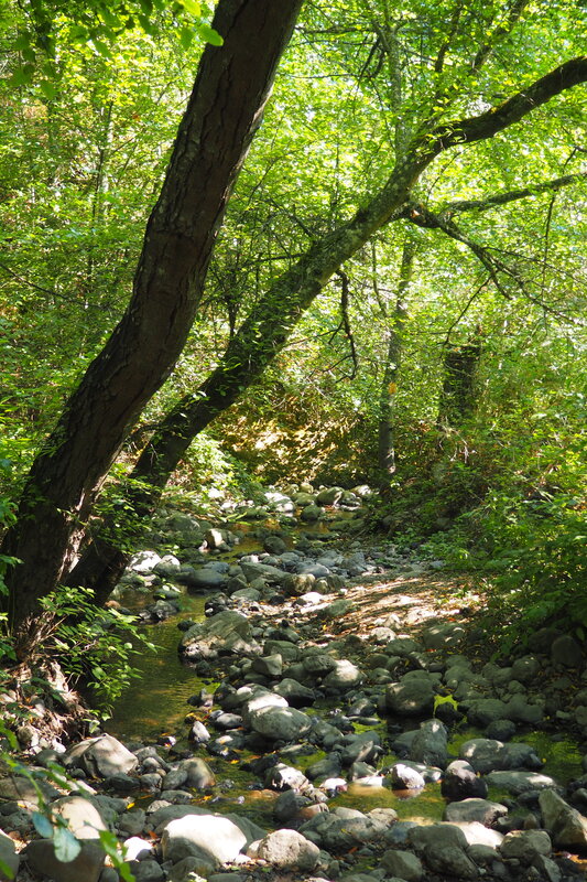
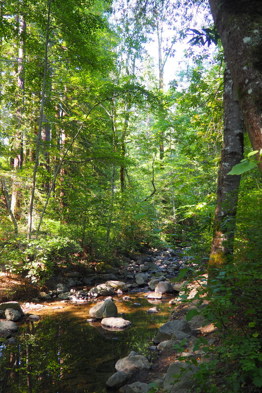
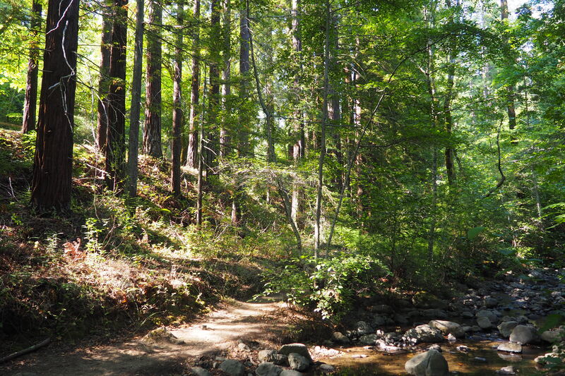
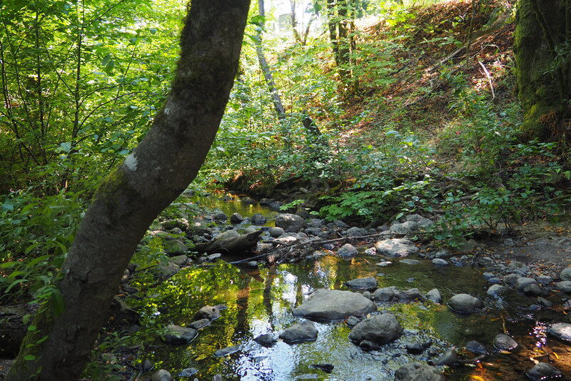
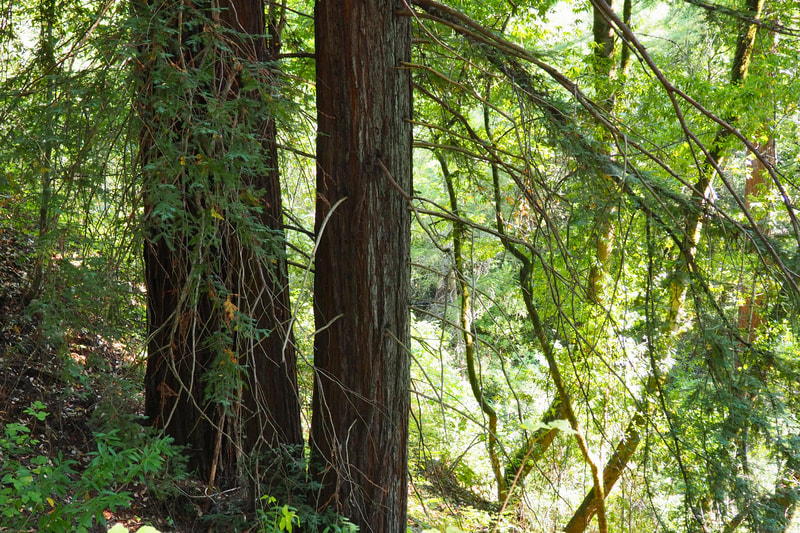
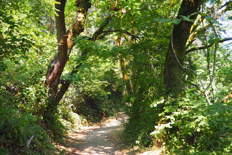
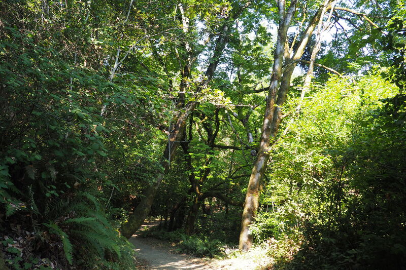
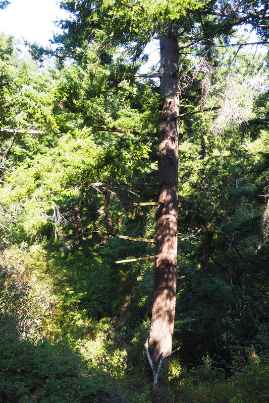
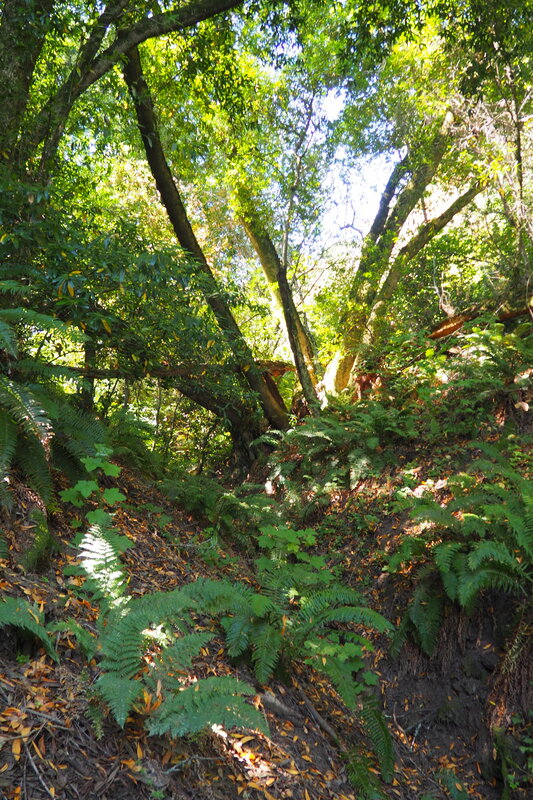
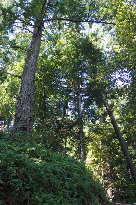
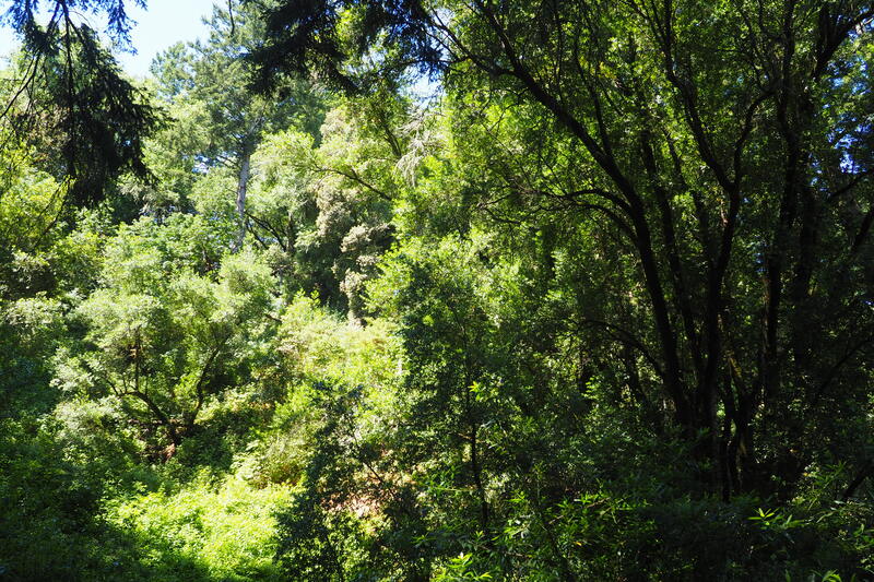
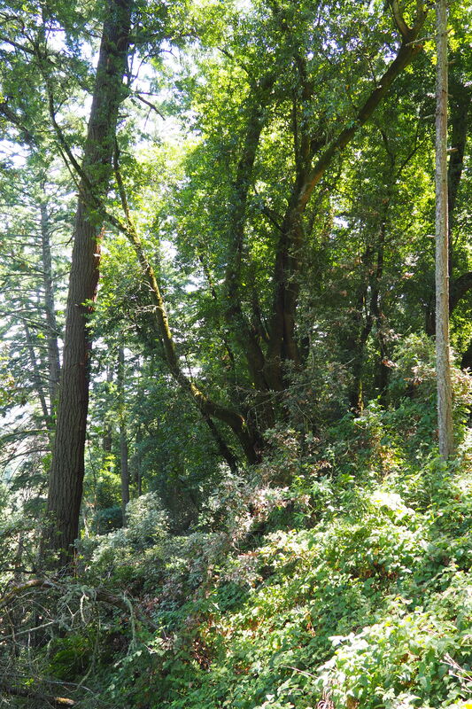
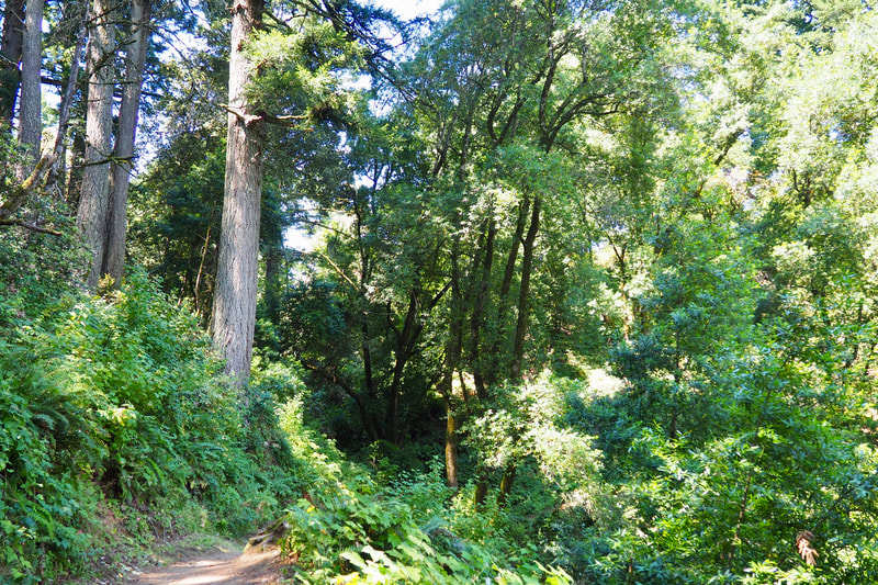
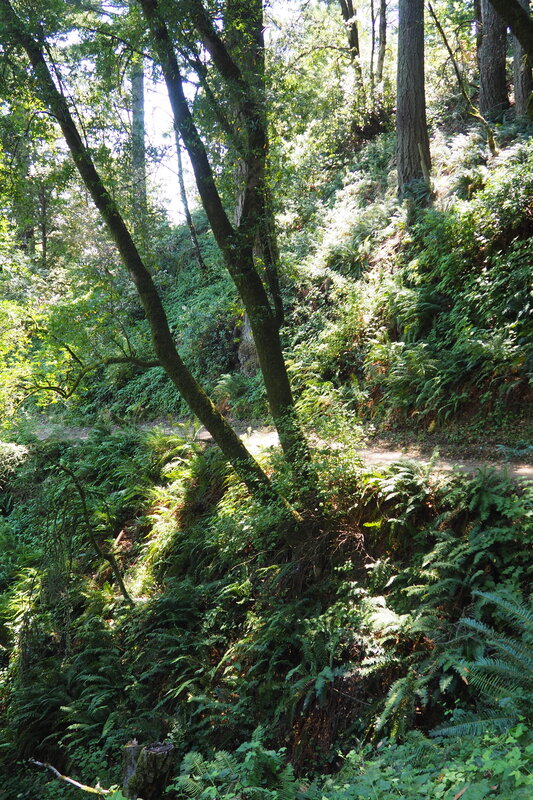
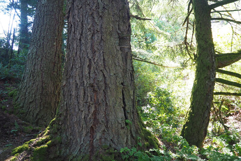
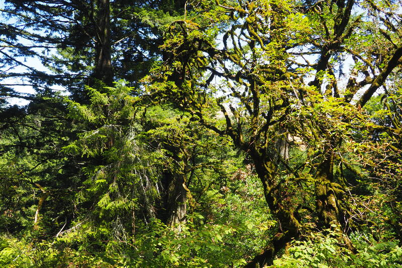
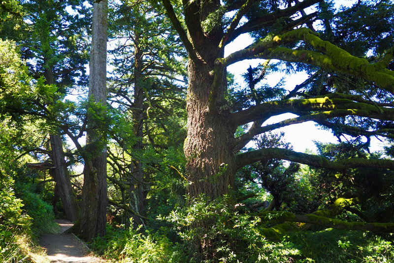
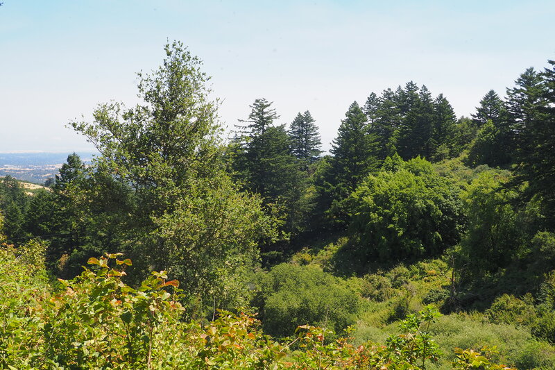
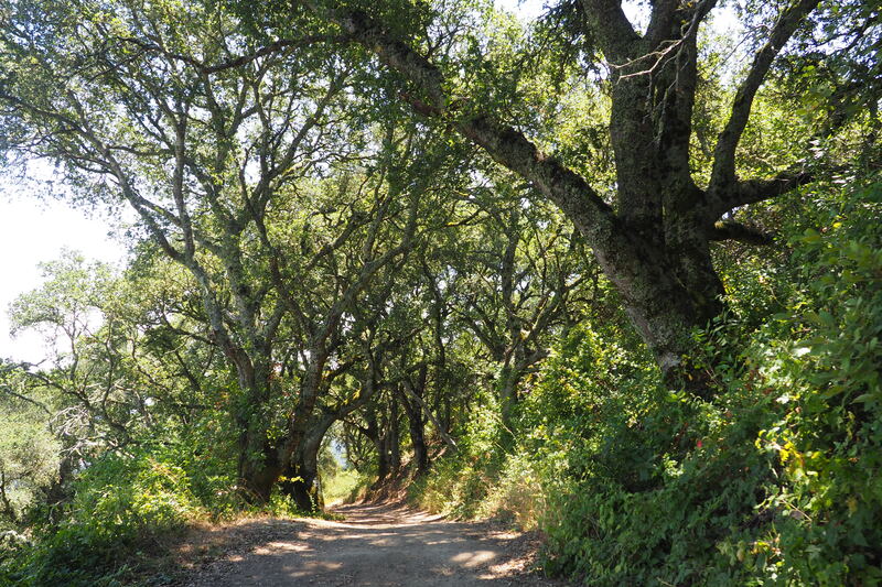
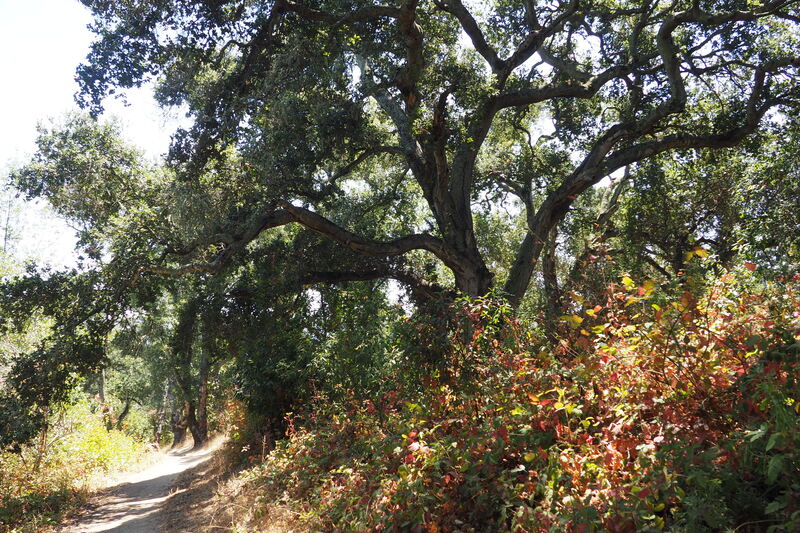
The Betsy Crowder Trail is currently one-way, which is why we took this trail on our way into the interior of the park. We hopped onto the Meadow Trail to connect to Hamms Gulch. Here, the forest grew deeper and more lush as we got closer to the convergence of Corte Madera Creek (which had water) and Hamms Gulch (which appeared to be dry). Right by the creek, second and third-growth redwoods offered dense shade. This was an extremely beautiful part of the hike that would be great for bringing even young kids. Instead of continuing straight onto Eagle Trail to head towards the Razorback Ridge Trail, we turned right to head uphill and stay on the Hamms Gulch Trail. This route is well graded. You can feel that you are climbing up, but it is not too steep. It's very nice to make the climb up in the shade of the forest instead of along the steeper and completely exposed Spring Ridge Trail (our return leg of the loop).
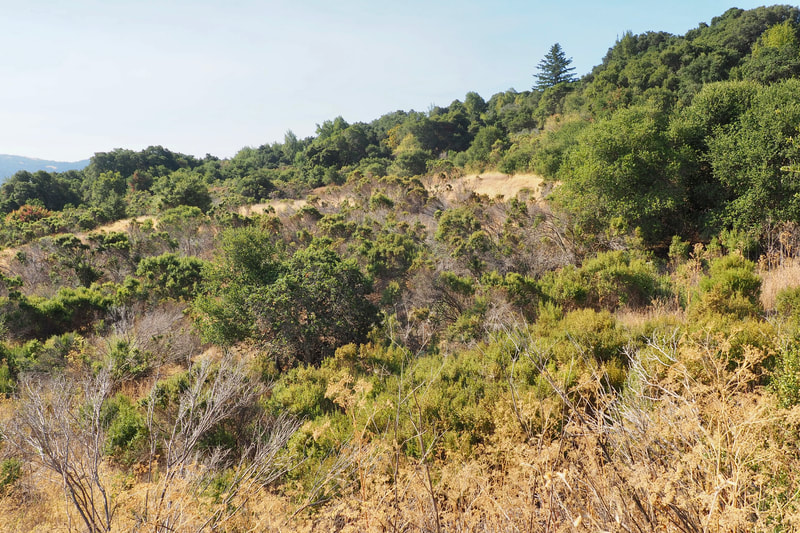
At the terminus of Hamms Gulch, you will tee into the Lost Trail. On this hike we turned to the right to head north towards the sunny, exposed Spring Ridge. Sidenote: I would like to return to Windy Hill and turn to the left and then take Razorback Ridge back downhill on a future hike.
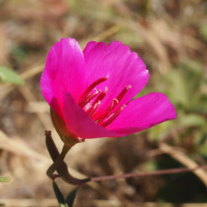
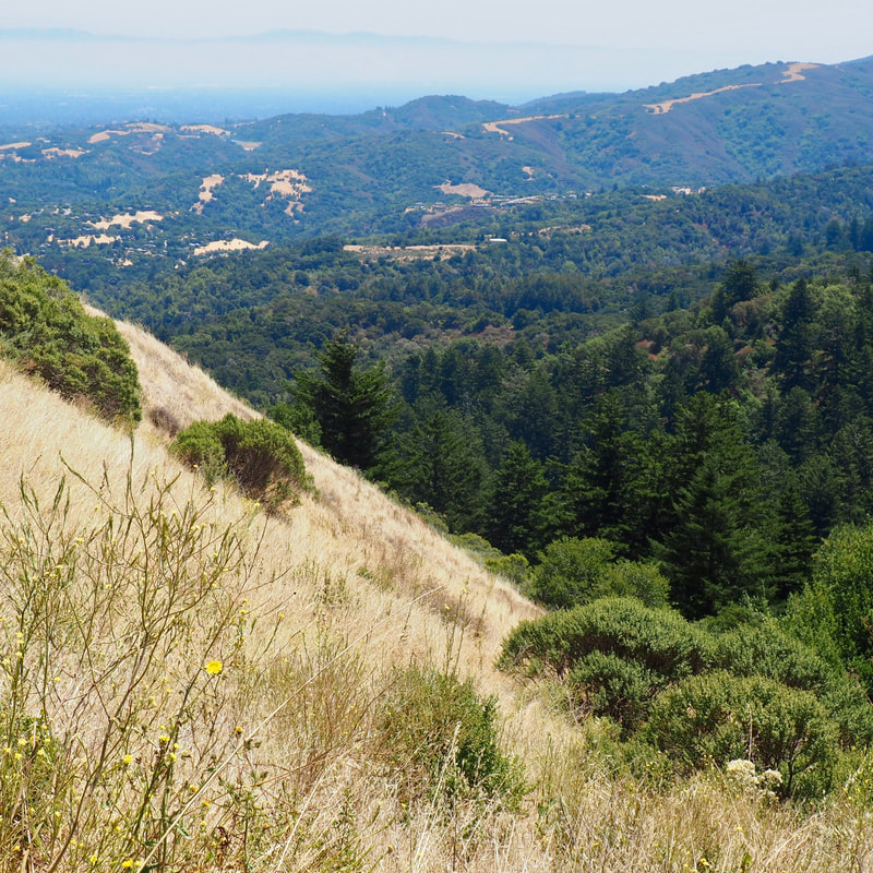
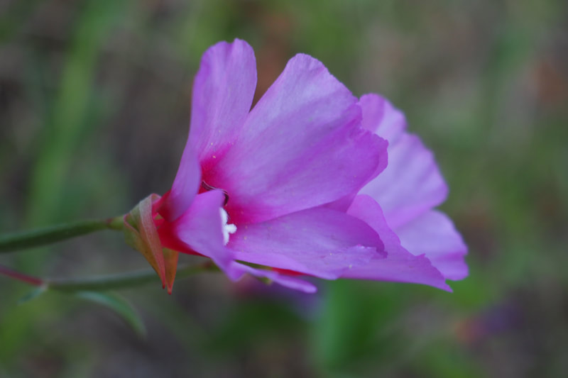
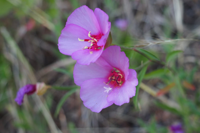
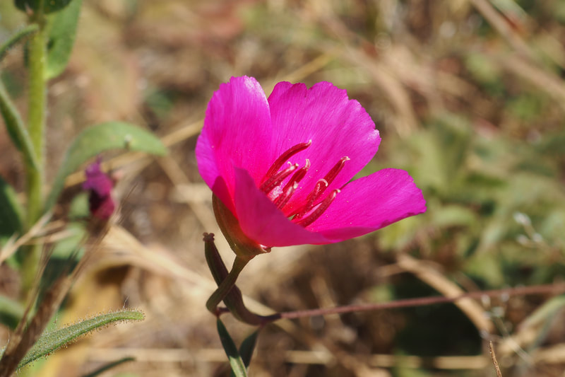
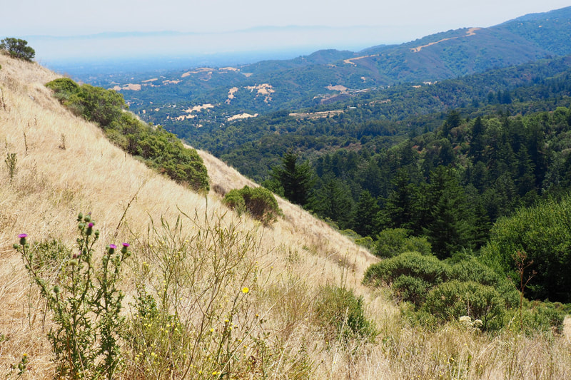
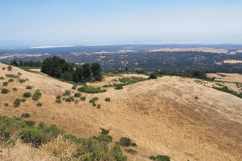
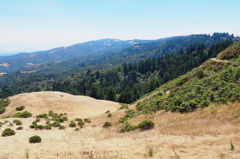
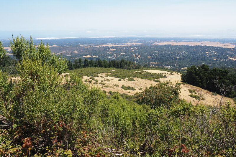
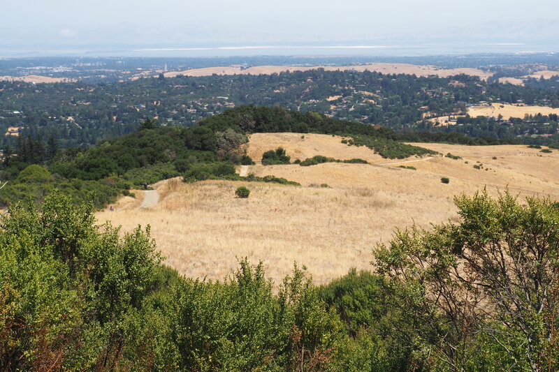
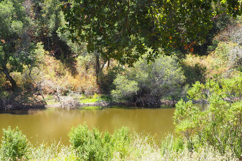
Heading north on Lost Trail, you exit the shady forest and emerge out into bright sunshine. Even in July, we saw lots and lots of blooming clarkia. I think that we may have seen a subspecies of the flower known as Chaparral clarkia or Chaparral fairyfan (Clarkia affinis, link). It certainly was blooming in a chaparral environment. We also saw thistles, mustard, and poppies along this sunny exposed ridge--along with lots and lots of blackberries. After passing the picnic area near the Skyline parking lot, we took the Anniversary Trail around Windy Hill because it offered some impressive, expansive views of the South Bay. At the terminus of the Anniversary Trail, you can turn to the right to take the Spring Ridge Trail all the way down to the parking lot. This trail was very exposed, but also very wide--obviously an old fire road. It was also the most popular trail in the park by far. It seems like the majority of people just take this trail up and then back down again, but hiking up in the shade seems like it would make for a much more enjoyable experience. In all honestly, this was my least favorite part of the hike. The trail is very steep here, and it seems like it would be easy to fall on some of the sections where the gravel and dirt are on the loose side. I suspect that this route is better in the spring, when the dirt is not as dry and the hills are green and laden with wildflowers. Because the Spring Ranch Trail was both so busy and so exposed, we peeled off of it toward the end to get back onto the Meadow Trail, and we used this route to parallel Spring Ridge for as long as we could. Then we got back onto it to complete the route to the parking lot, skirting to the east of Sausal Pond. This was a fantastic hike. I already plan to return soon to explore Razorback Ridge, and I expect that I might venture to do Spring Ridge again in the actual spring next year!
0 Comments
Leave a Reply. |
Archives
December 2020
Categories
All
|
 RSS Feed
