|
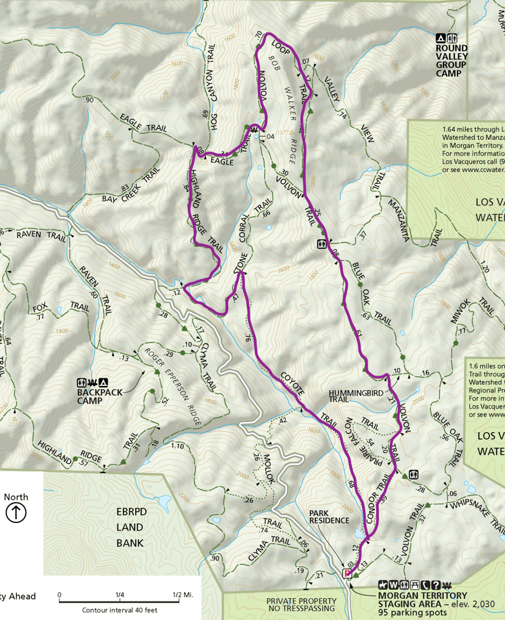
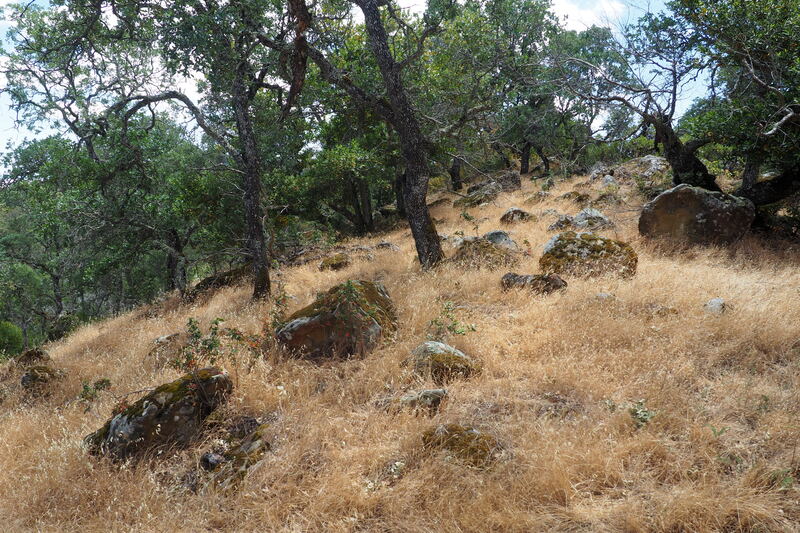
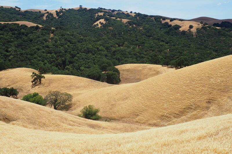
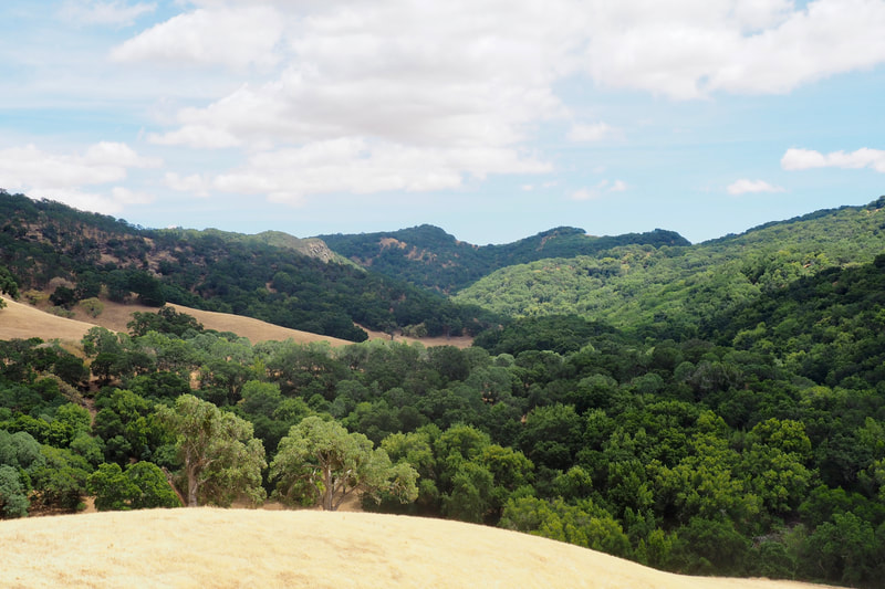
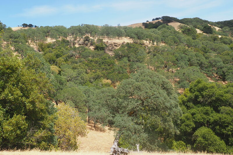
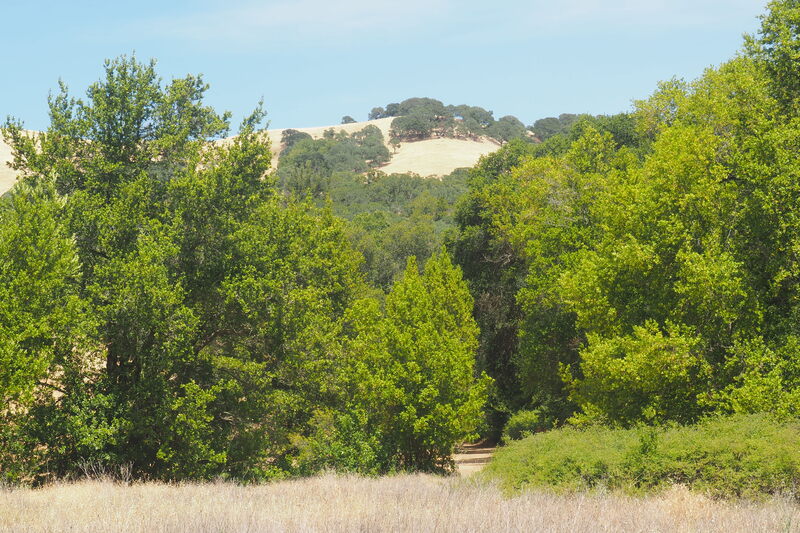
On Sunday, I took a 6.5-mile solo hike deep into Morgan Territory, a park local to me in Livermore. This hike combined legs of several other hikes that I have done in the park before and it comprised a really good "greatest hits" of the park, or at least the part of the park that is most easily accessible from the main staging area.
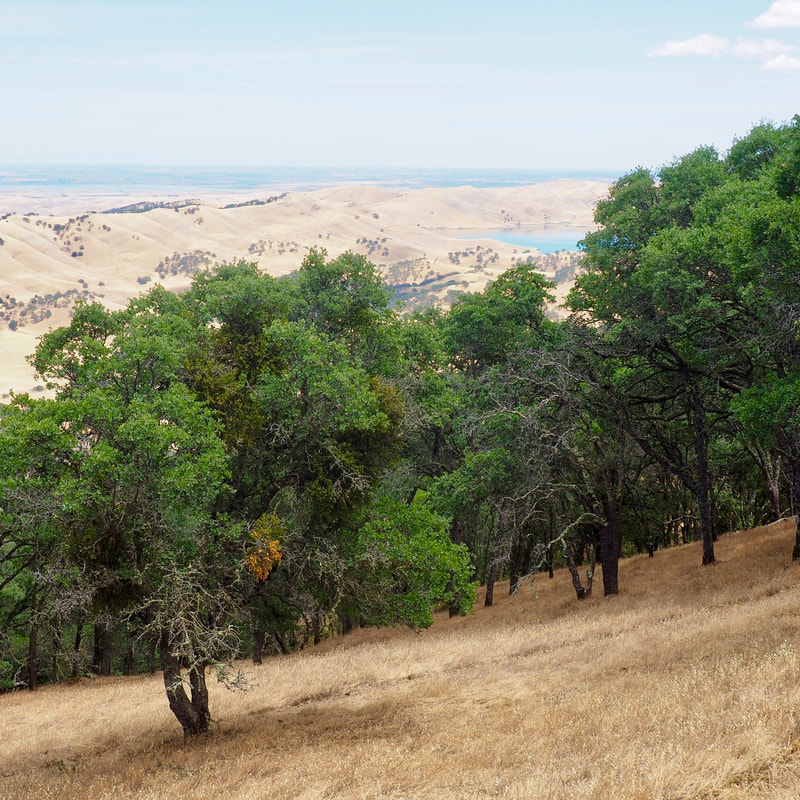
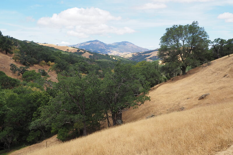
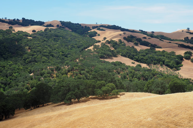
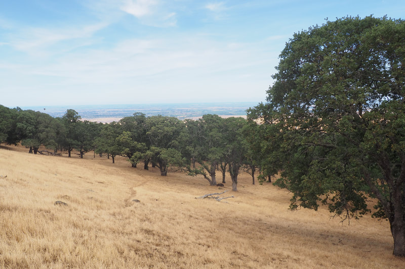
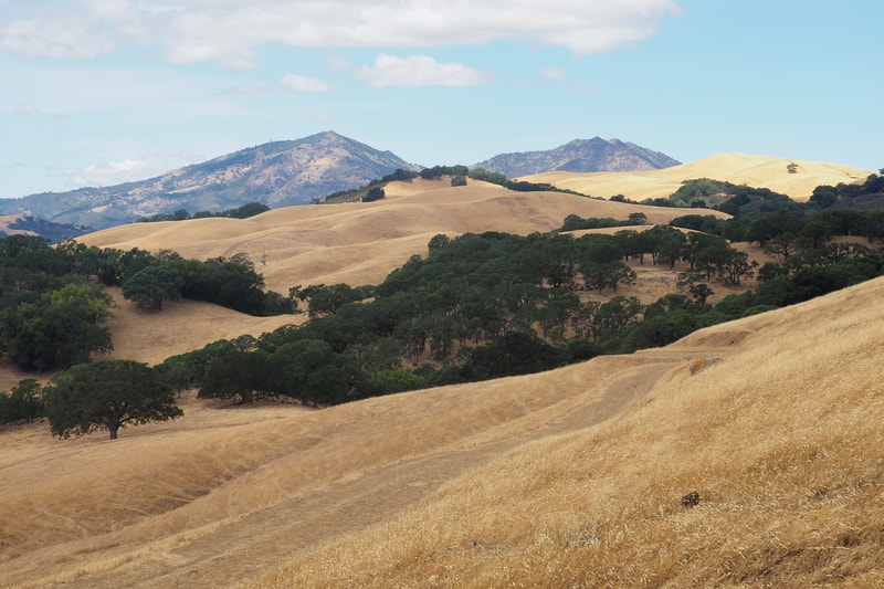
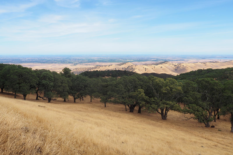
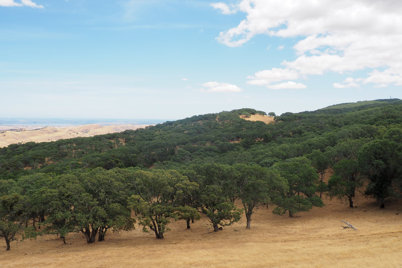
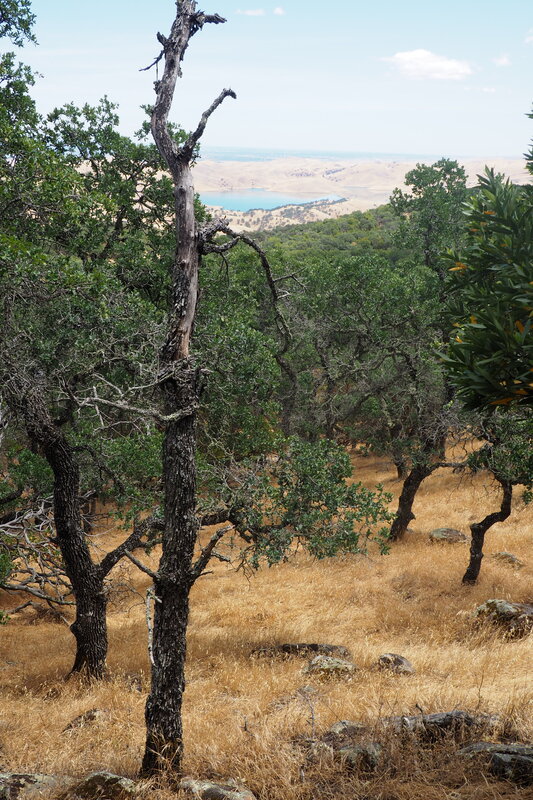
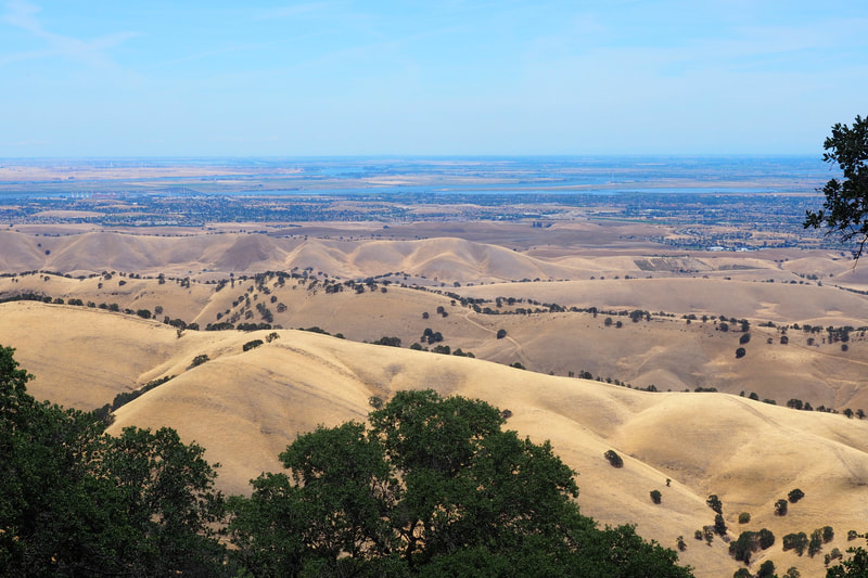
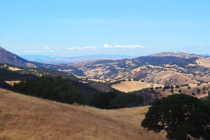
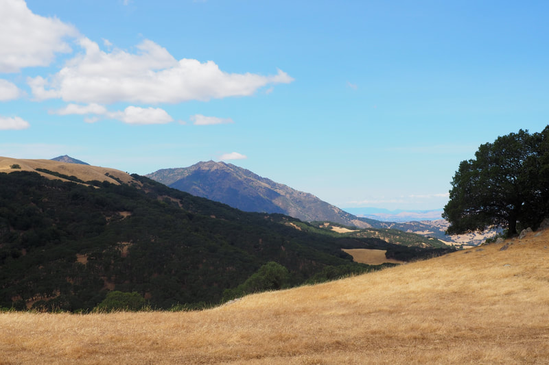
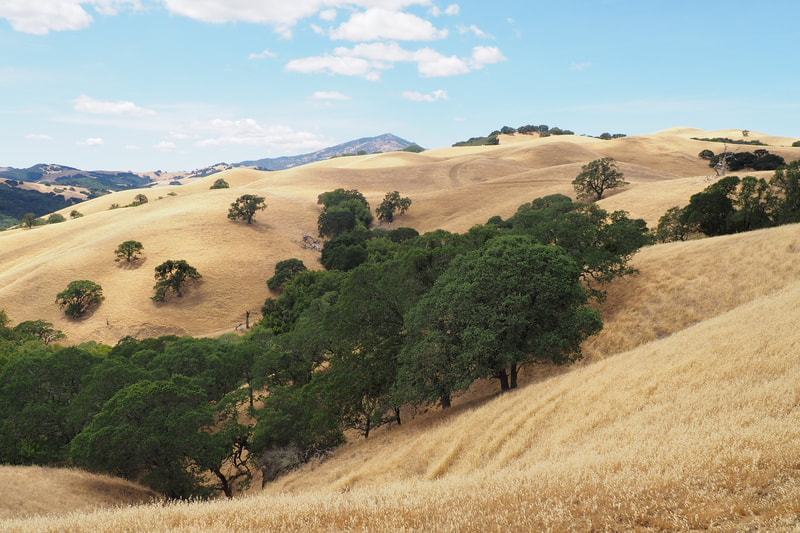
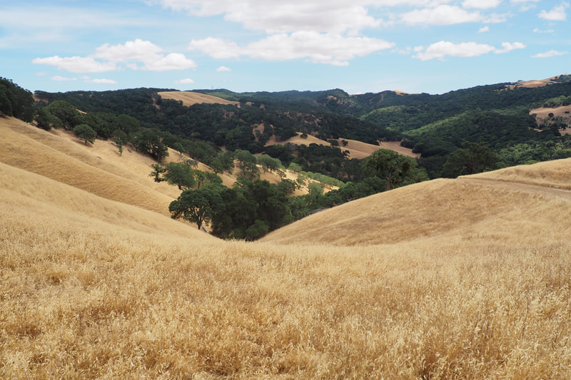
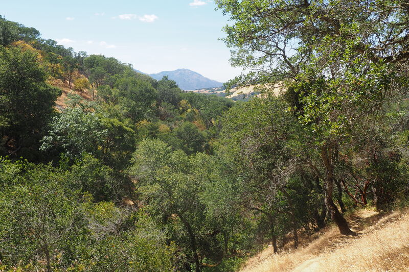
I think I could see Sacramento in the distance as well, and Antioch was clearly visible with its distinctive bridge. At the northernmost portion of the loop, I could see Suisun Bay behind Mount Diablo. My camera didn't capture these far distances very well, but it was really beautiful.
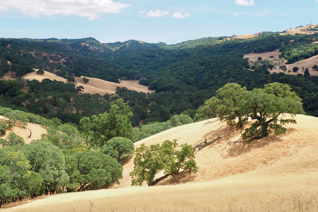
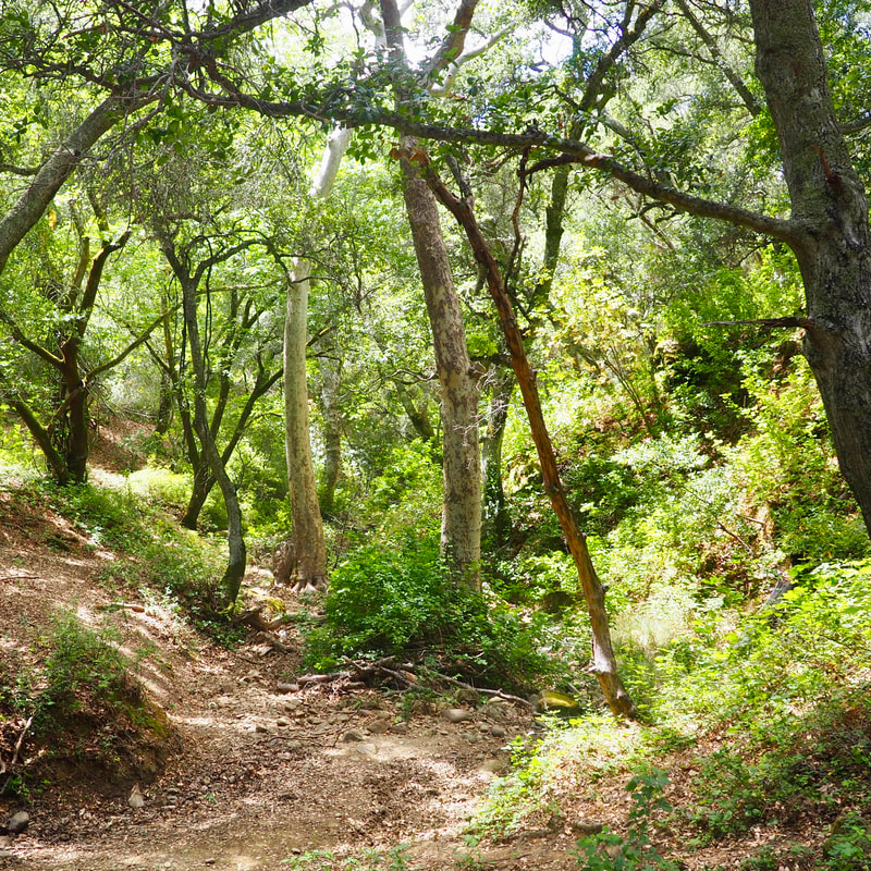
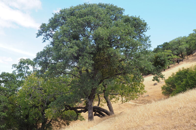
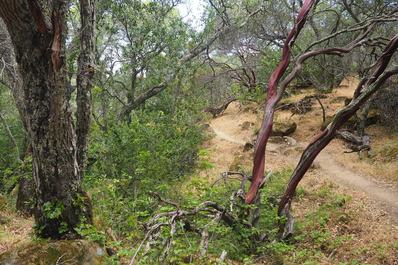
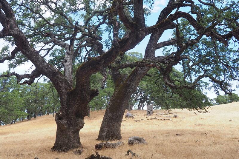
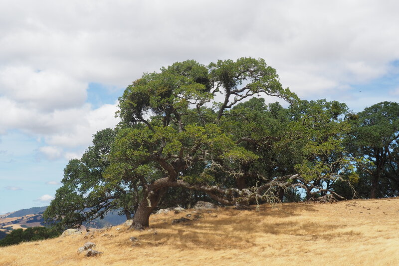
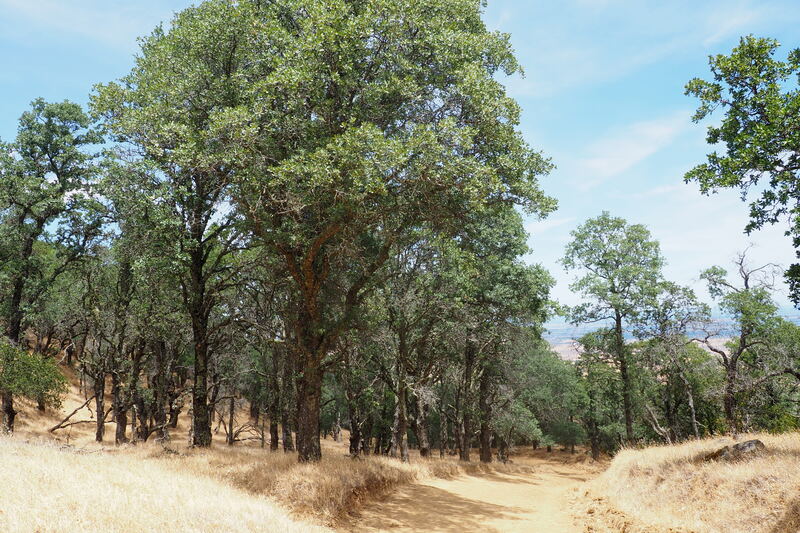
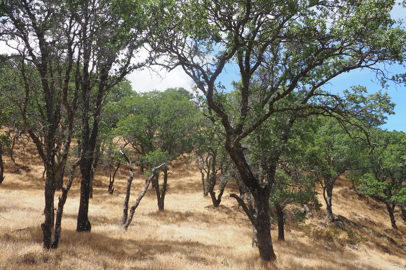
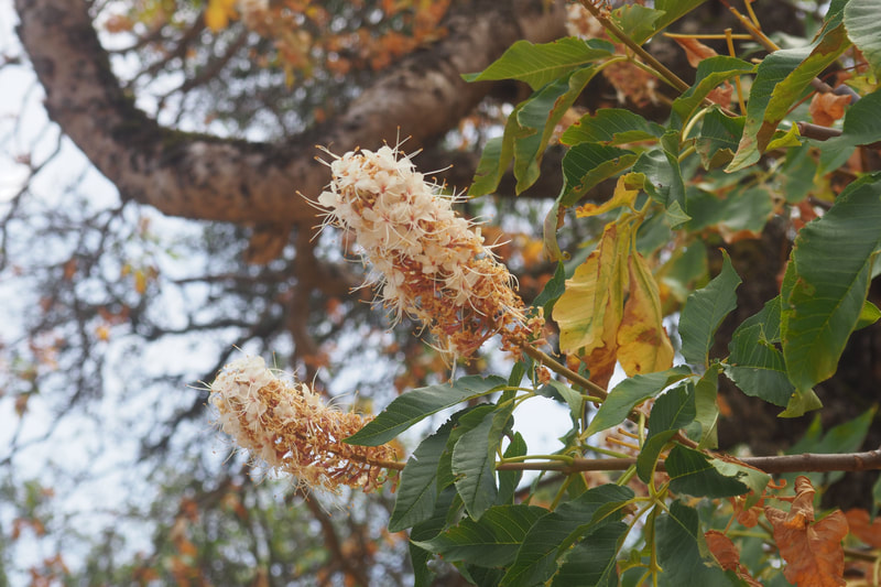
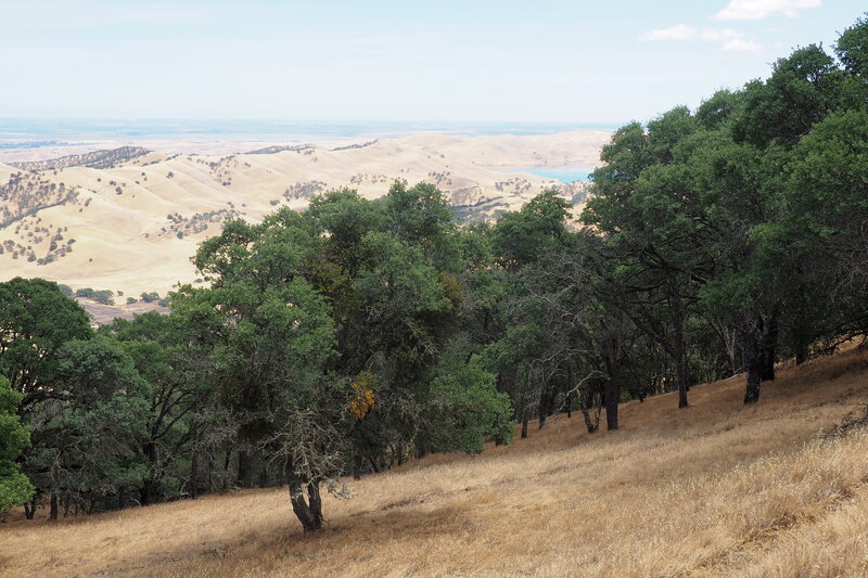
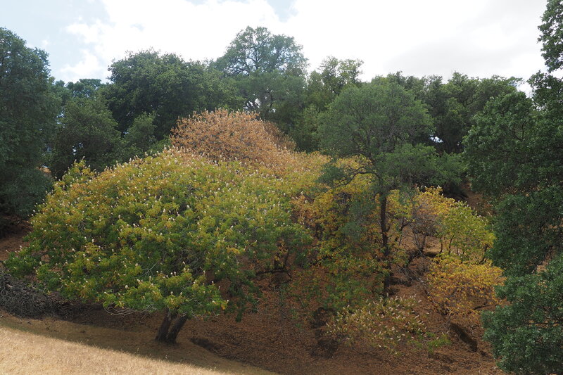
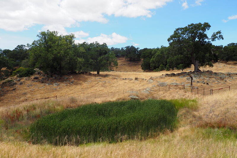
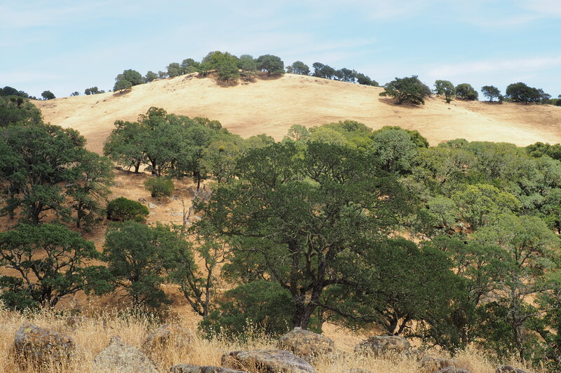
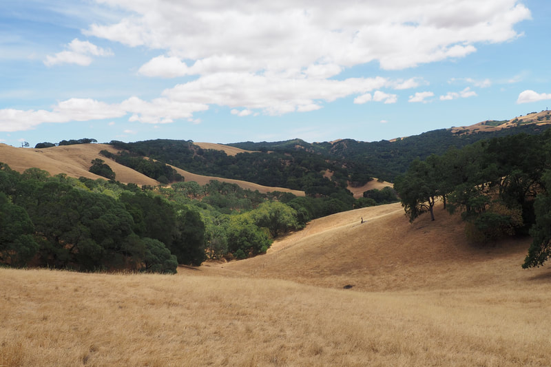
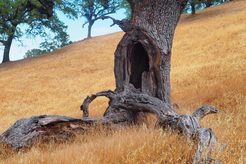
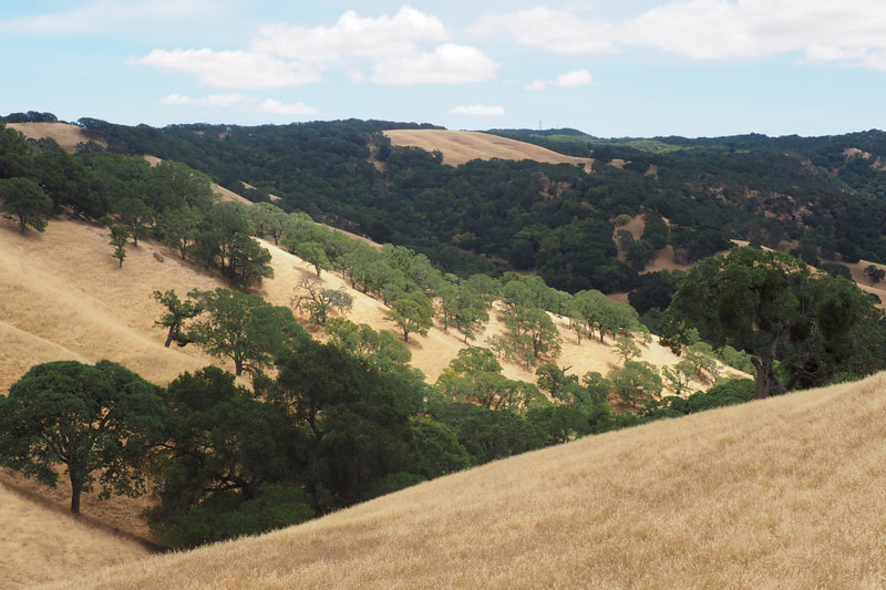
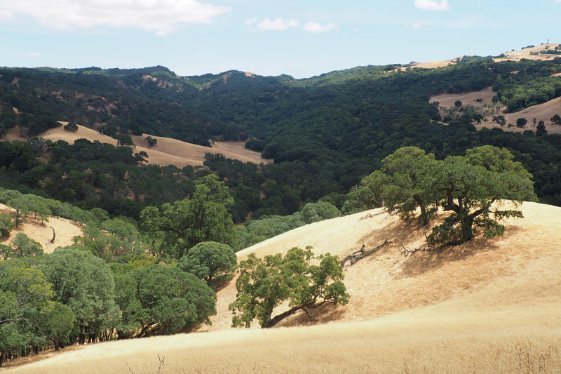
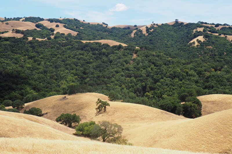
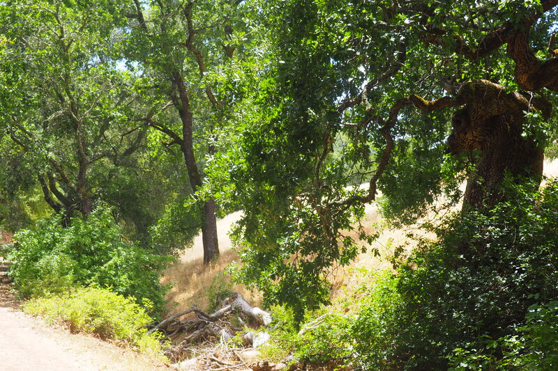
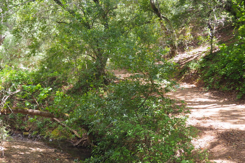
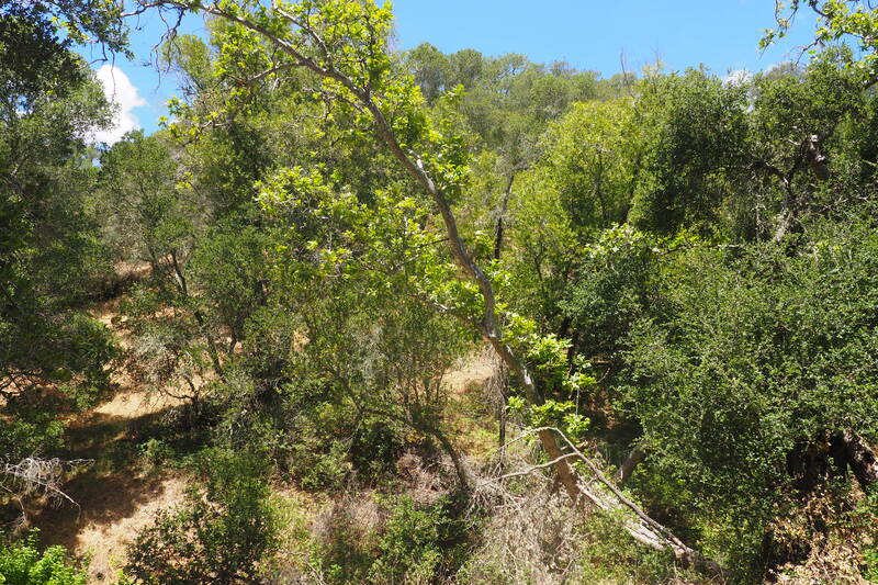
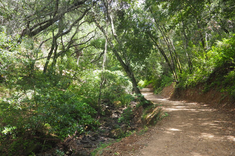
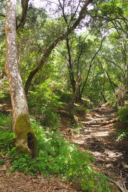
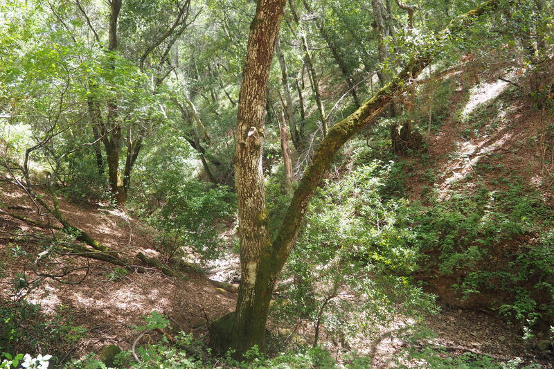
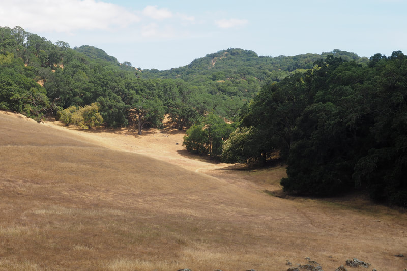
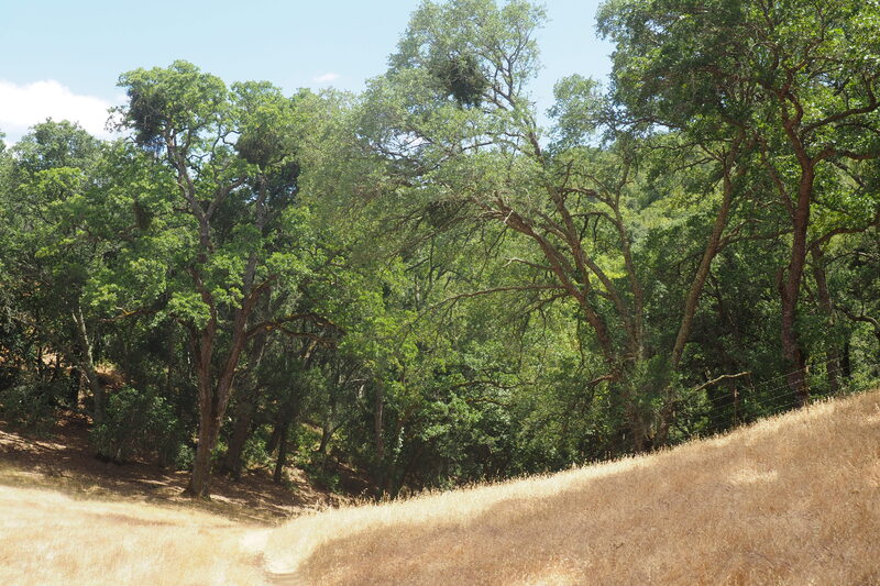
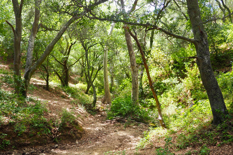
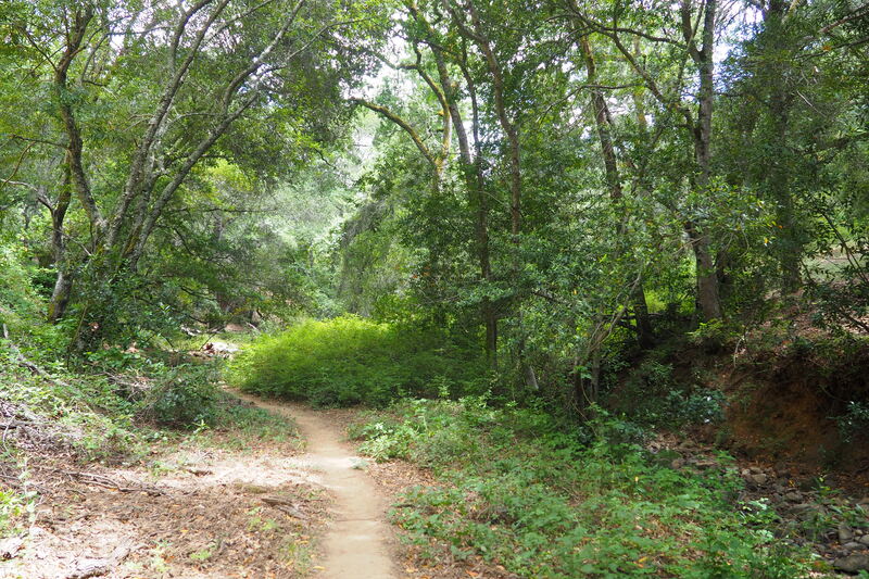
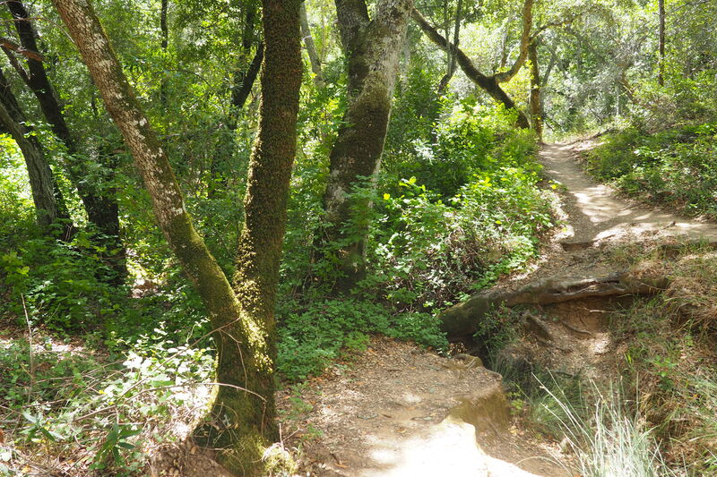
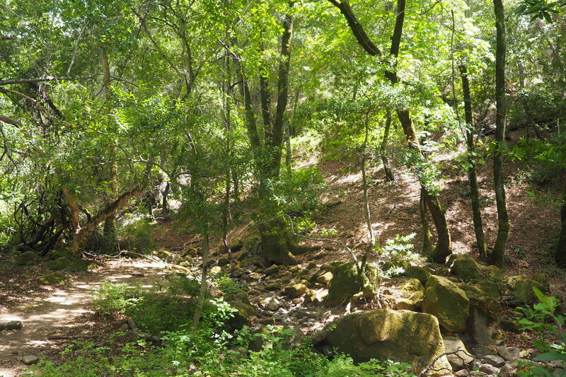
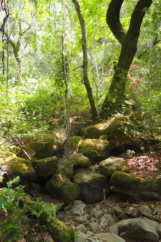
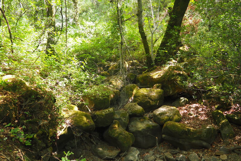
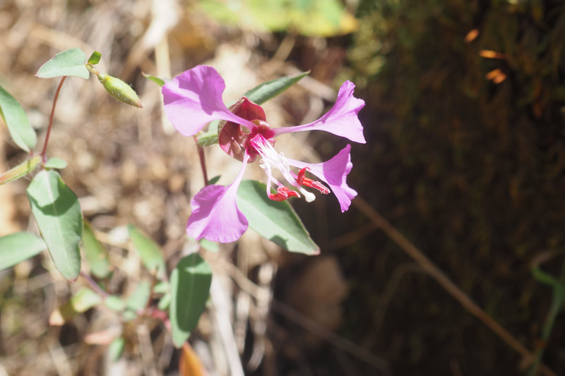
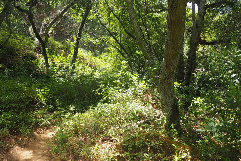
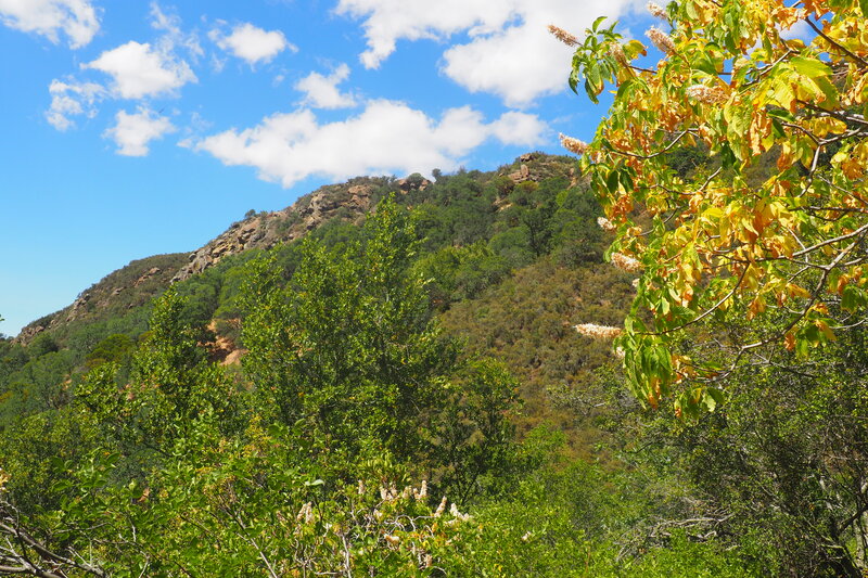
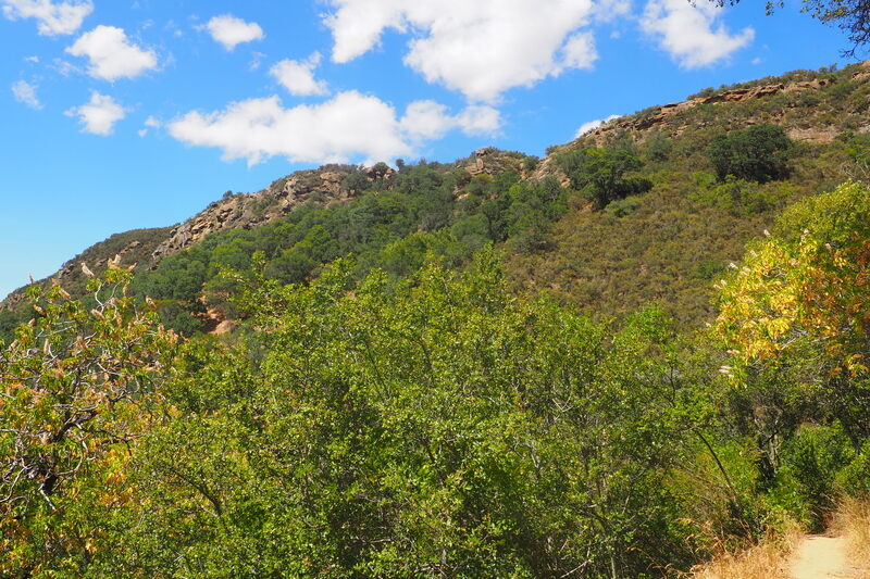
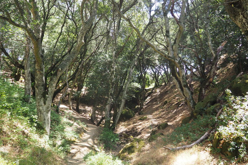
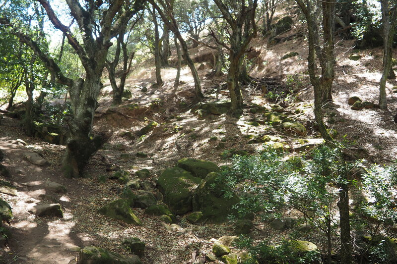
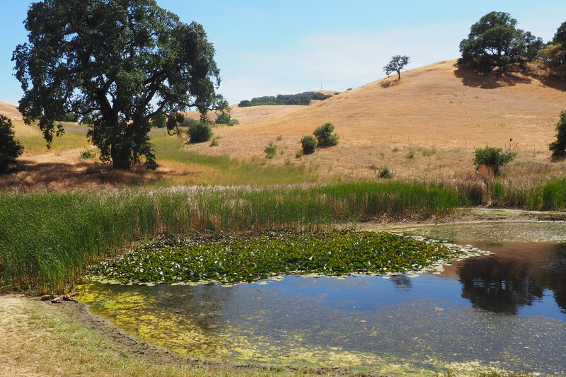
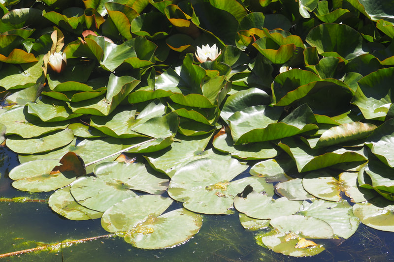
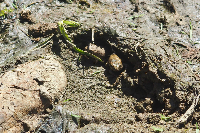
Then, I peeled off on the Eagle Trail to then take the Highland Ridge Trail. This portion of the loop was my favorite portion of the hike. I loved the changing views as I descended along the Highland Ridge Trail into the basin through which Morgan Territory Road runs. The wind was strong, and I felt like a bird riding a thermal as I was hiking down. I think that going down this trail is the way to go. The ridge is very exposed, and it would have been very hard going up this trail with the sun beating down on me. As I descended into the valley, I took Stone Corral Trail to the left as it paralleled along a creek bed and then looped uphill for just a little bit. I knew this junction from my first hike at Morgan Territory. Indeed that earlier hike informed my hike on Sunday: I chose to do my loop in this specific direction because I knew that it would be good to climb up in the deep shade of the Coyote Trail. I am very glad that I made this call! When connecting from Stone Corral to Coyote, there is a cow trail that makes a helpful short cut right where the trail opens up from a shaded riparian ecosystem to an open grassy field; instead of turning to the left to go uphill (the route of the official trail), follow the cow path to the right that aims straight for a downed oak tree. From there, you can pick up the Coyote Trail and head to the right. The Coyote Trail, which eventually becomes a single-track trail, heads back to the shaded creek and parallels it all the way back to the top near the parking lot. The trail is flat at first and then suddenly very steep. The last time I was here (April of 2019), there was lots of water in the creek. But in mid-June of 2020, the creek was almost entirely dry. Pay attention to the poison oak along the creek bed; I suspect that it is worse than usual because the EBRPD staff has cut back due to COVID-19. I don't remember it being noticeably bad last year. Also pay attention when you are making the hard climb up; turn around behind you and look for the exposed cliff face. Look for falcons, raptors, turkey vultures, and hawks too because they like to use the rocks for roosting. On this part of the trail I saw lots and lots of elegant clarkia (Clarkia unguiculata, link). When you get to the end of the climb, there is a pond filled with water lilies where red-winged black birds give out their friendly calls. The last time I was here, my daughter and I saw thousands of tadpoles. On my trip this Sunday, most of those tadpoles had turned into tiny frogs. They were everywhere! I sat under the shade of a large tree to have some water and I saw two families pass by and both families had children that were absolutely fascinated with the frogs. It was really cute to see. Apparently all boys of a certain age want to take frogs home with them, which is pretty endearing. From here, you can take the Condor Trail back to the parking lot. I had forgotten that the Molluck Trail intersects with the Coyote Trail and then connects over to the Clyma Trail. I think that this would make a really beautiful loop, and I plan to do this either in the fall or next spring. I feel really lucky that we had such unseasonably cool weather--Morgan Territory can get really hot in the summer, so this really felt like a treat!
0 Comments
Leave a Reply. |
Archives
December 2020
Categories
All
|
 RSS Feed
