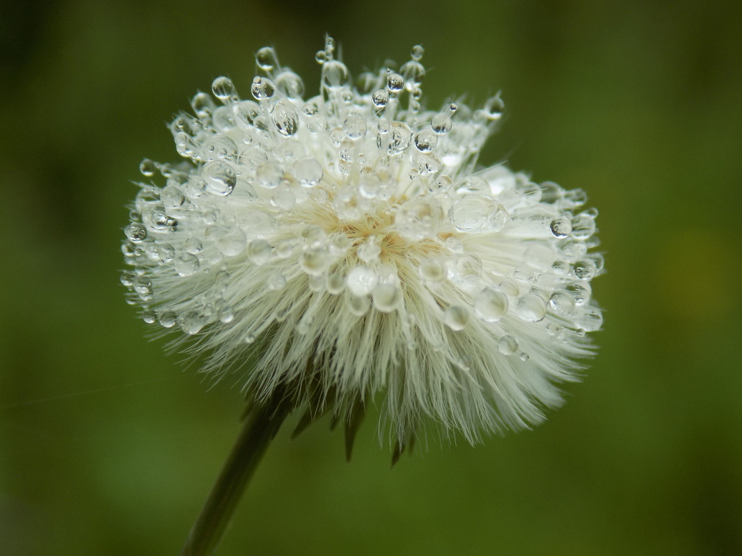
 The last time that I took this 4-mile hike was in the summer. I went back to Memorial Park in Loma Mar today to see if there would be an abundance of spring wildflowers, and it did not disappoint. It's been a fairly wet spring, and the dew on all the flowers just made everything really beautiful. This just transformed the hike into a totally new experience compared to what I had last summer.
0 Comments
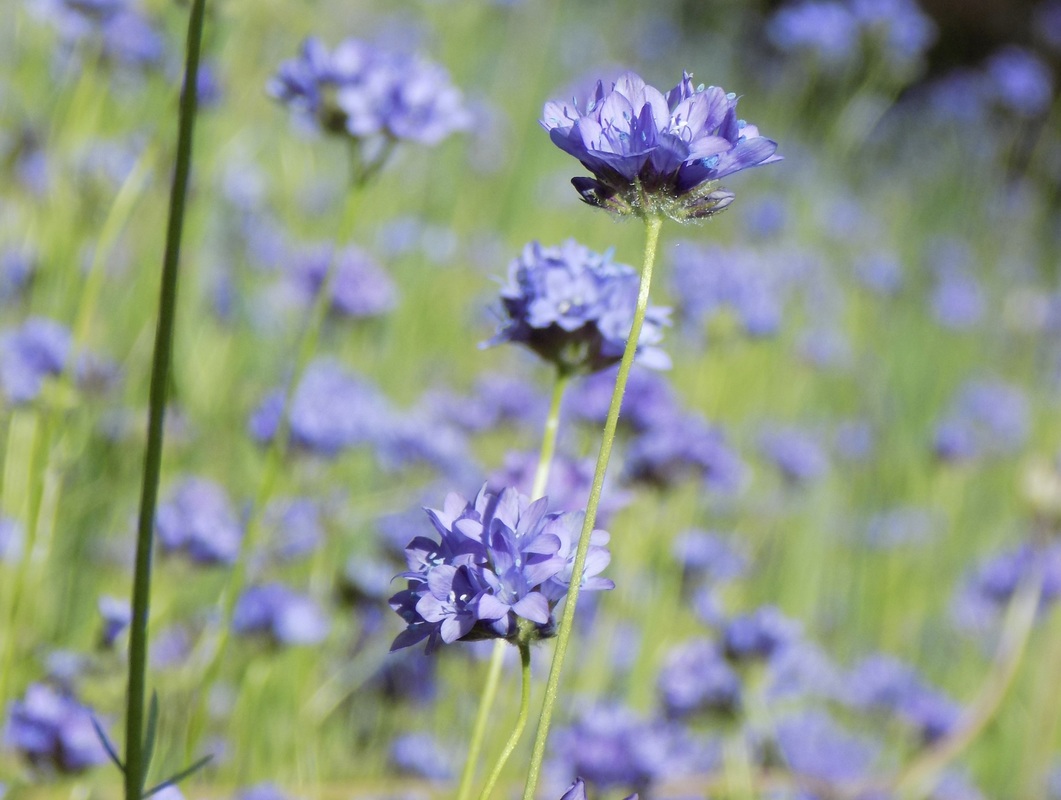 This 7-mile version of the hike that I did late last February did not disappoint! This trip to Henry Coe State Park was during a glorious weekend in April, so my husband and I had to use the overflow parking. The trail from overflow parking to the park headquarters is half a mile, and each way to Frog Lake along the Flat Frog Trail is 3 miles. We just went out to the lake and back to take advantage of the flat hike. The wildflowers were spectacular!
 This 8-mile hike through the western tip of Henry W. Coe State Park only goes through a small portion of the 87,000 acre wilderness area east of San Jose, but it is a pretty impressive hike nonetheless!
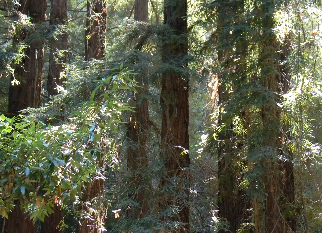
 This was a return visit to the lovely Butano State Park--I wrote about my previous trip here. I went back to do a longer loop this time, and it offered a gorgeous new view of the park. I would highly recommend this 10-mile hike if you're up for some steeper climbs.
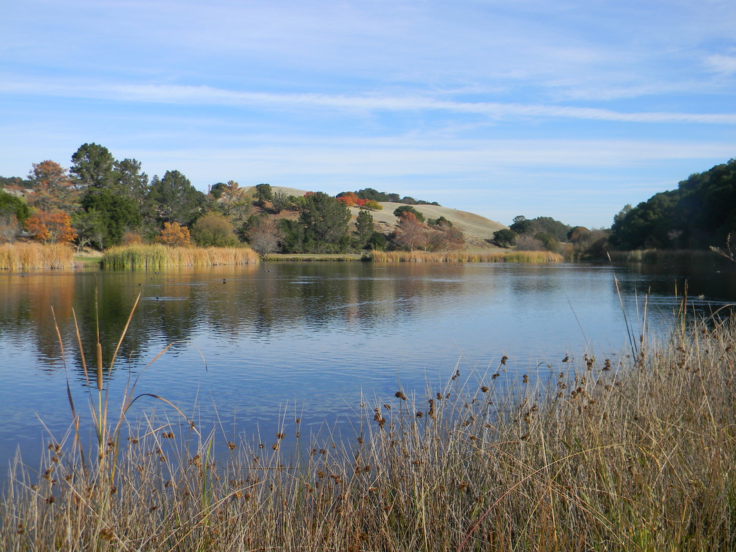 Foothills Park is off of Page Mill Road, and it is only for Palo Alto residents and their guests. So open and welcoming!
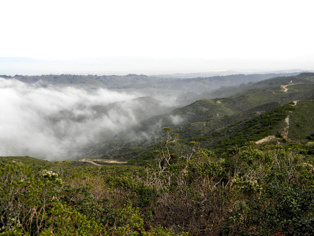 McNee Ranch State Park is part of Montara Beach State Park. The best map that I have found is actually the map put out by the San Mateo County Park system.
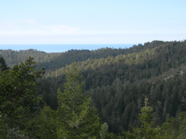
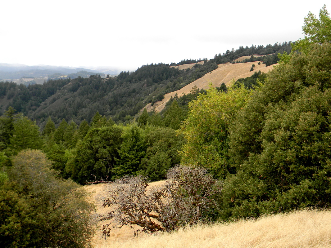 This 10-mile loop winds its way across both sides of Skyline Highway, offering breath-taking views of Santa Cruz mountains from the Long Ridge side and a densely forested hike on the Upper Stevens Creek side. The latter descends past Table Mountain to a beautiful canyon and offers glimpses of the East Bay’s Diablo Range.
 Wunderlich County Park is a lovely park near Woodside with a wide diversity of forest types. The figure-8 hike that I made was about 9.6 miles from the top of Skyline down to the bottom of the mountain and then back up.
 This is a flat, easy hike between two parks: Huddart County Park and Teague Hill Open Space Preserve. The trail continues through Bear Gulch Watershed to Wunderlich County Park (total distance, 5 miles one way). I didn't have time to hike that far though, so I will have to try out Wunderlich another time.
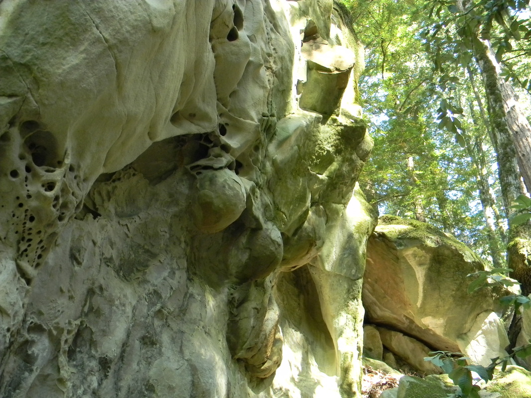 A really cool 3.5-mile hike that features a sandstone outcropping with delicate lace-like erosion patterns called tafoni.
|
Archives
December 2020
Categories
All
|
 RSS Feed
