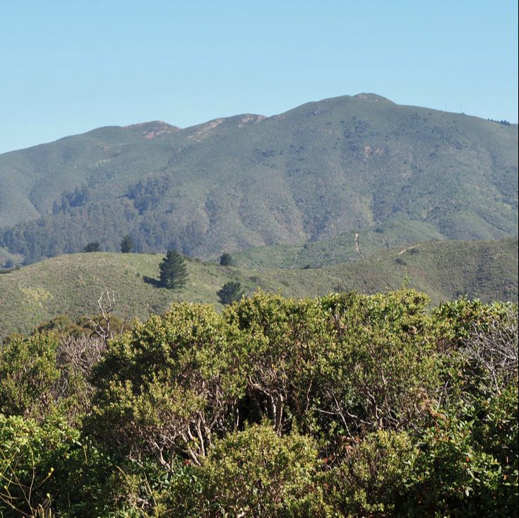
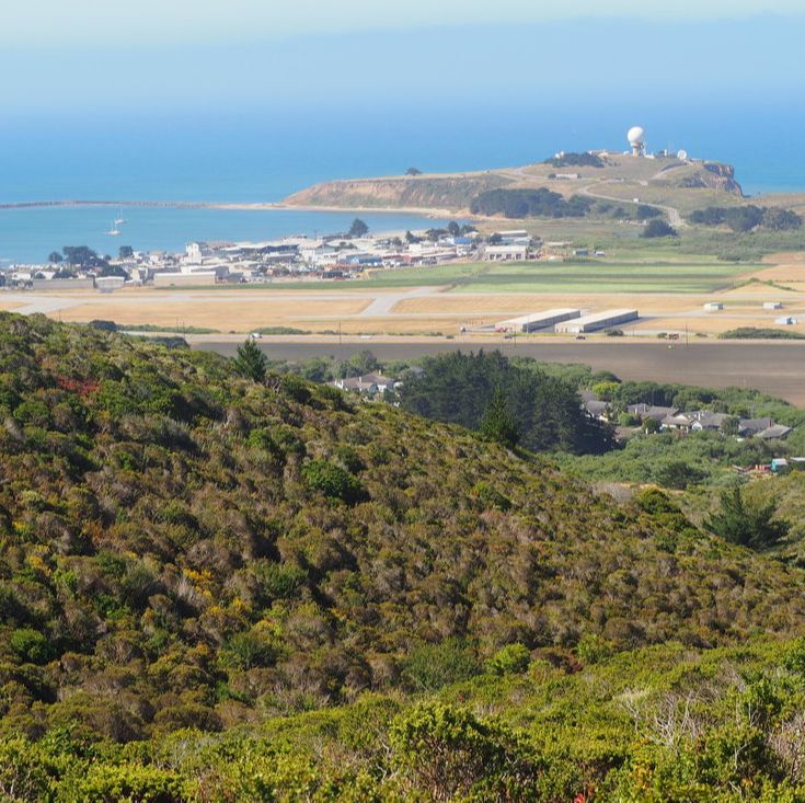
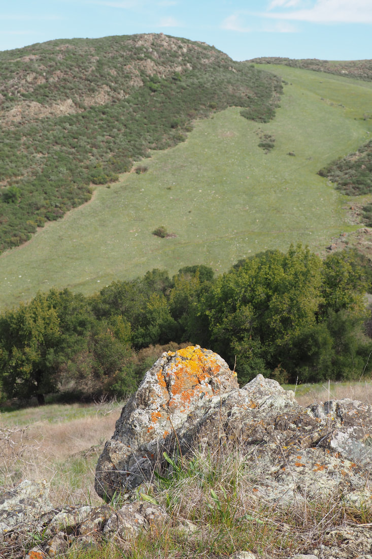
 Rancho Corral de Tierra is part of Golden Gate National Recreation Area (GGNRA), which is managed by the National Parks Service. This 4,000-acre parcel of land is the newest acquisition to the GGNRA, and it features both stunning vistas of the San Mateo County coast and prominent views of Montara Mountain, which dramatically rises 2,000 feet in just over 1 mile. The National Park Service explains the name of the park on its website: Historically known as "Rancho Corral de Tierra Palomares" (Earthen Corral), the property encompasses the majority of the 1839 Mexican Land Grant to Francisco Guerrero y Palomares where he built the first adobe on the San Mateo Coast at Denniston Creek. I have been putting off visiting this park for a while now, mostly because it's not precisely clear from the NPS website or the GGNRA website (link here) about where you can park to access the trails of the park. Because the park is so new, the trails, signage, and parking are all poorly communicated. I found a nice write-up about a hike on the POST website (link here), and decided to give that a try--I ended up rerouting when I arrived at the parking spot that POST recommends, and I chose to access the park instead from Coral Reef Rd. in El Granada. It was actually quite easy! I just drove to the end of the road, and there was parking near the sign making the end of the county maintenance. I am kicking myself now that I waited so long to visit this park. This was one of the best hikes I have been on in a very long time! See a map of my trip and loads more photos after the jump.
1 Comment
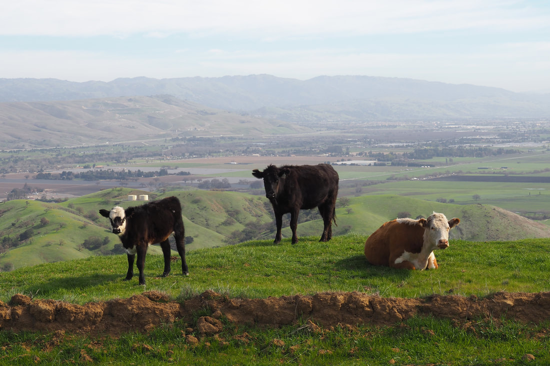
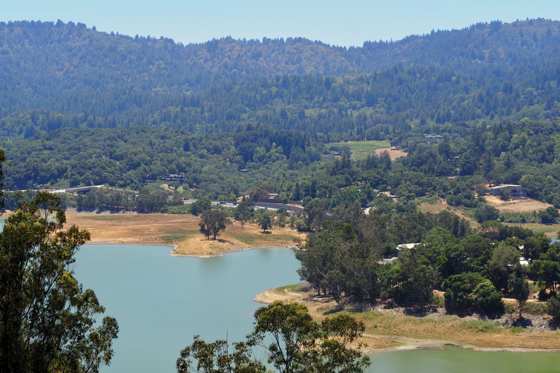 I really enjoyed my hike today at St. Joseph's Hill Open Space Preserve near Los Gatos. The preserve is contiguous with both Lexington Reservoir County Park and Novitiate Park, a Los Gatos city park. I was able to access the trailhead by parking at Lexington Reservoir boat launch (there is a small vehicle fee). Once I climbed to the summit of St. Joseph's hill (1,253'), I could see fantastic vistas of Mount Sereno (to the north), the Santa Clara Valley (to the east), distant mountains in the Diablo range (further east), the Sierra Azul range (to the south). and the reservoir (to the west).
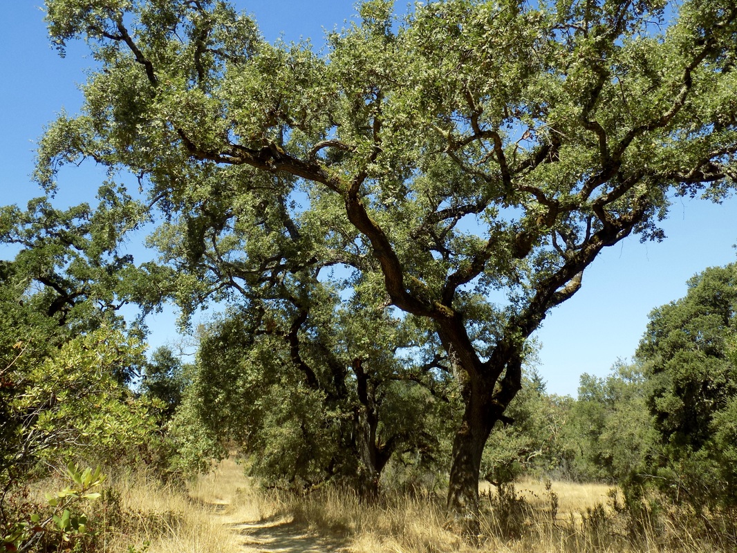
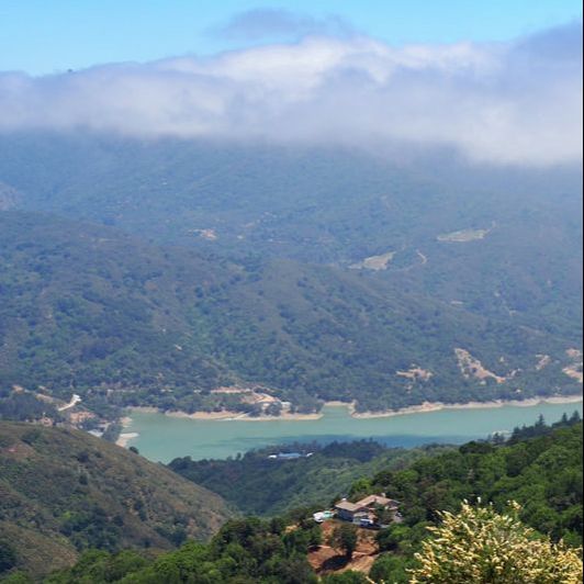
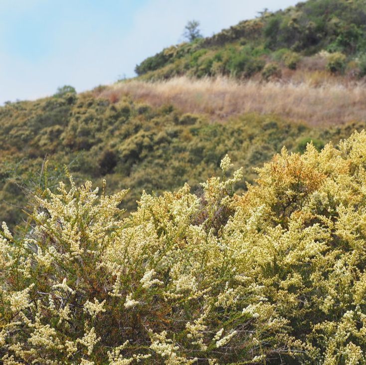
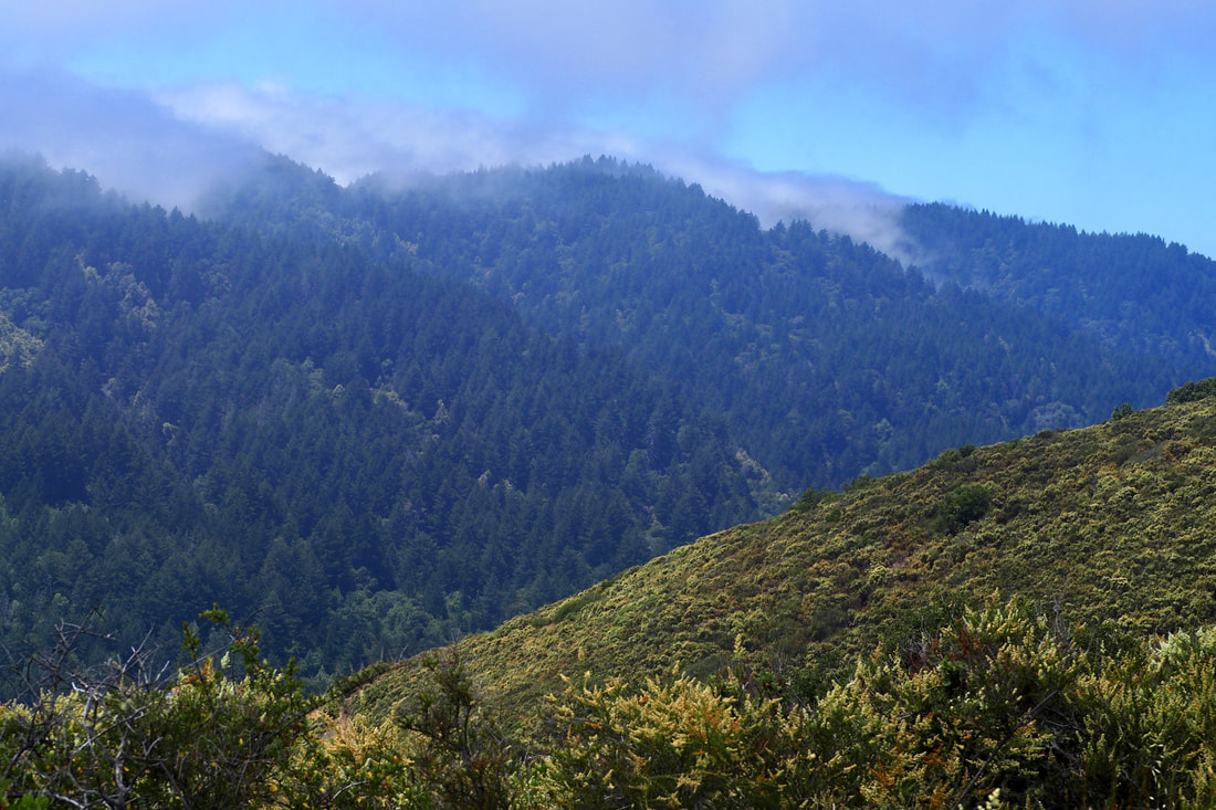 This MROSD park is all about the vistas! You get to El Sereno from Highway 17, and then peel off on the Montevina road (it's 1.5 lanes but two-ways!). You take Montevina all the way to the end of the road, so the vistas start before you even get to the entrance of the park itself. Here is a helpful blurb about the park on the MROSD webpage: El Sereno Open Space Preserve is named for 2,249-foot Mt. El Sereno, part of a prominent ridge located south of the town of Saratoga and west of the town of Los Gatos. A distinctive scenic backdrop to these cities, the 1,415-acre Preserve is primarily a chaparral community with some wooded areas near the creeks. I was lucky enough to go on this hike when the chamise was in bloom, and it was just gorgeous to see it in the foreground as the fog rolled in over Sanborn County Park to the west in the Santa Cruz mountains. The clouds made beautiful shadows on the waters of Lexington Reservoir below.
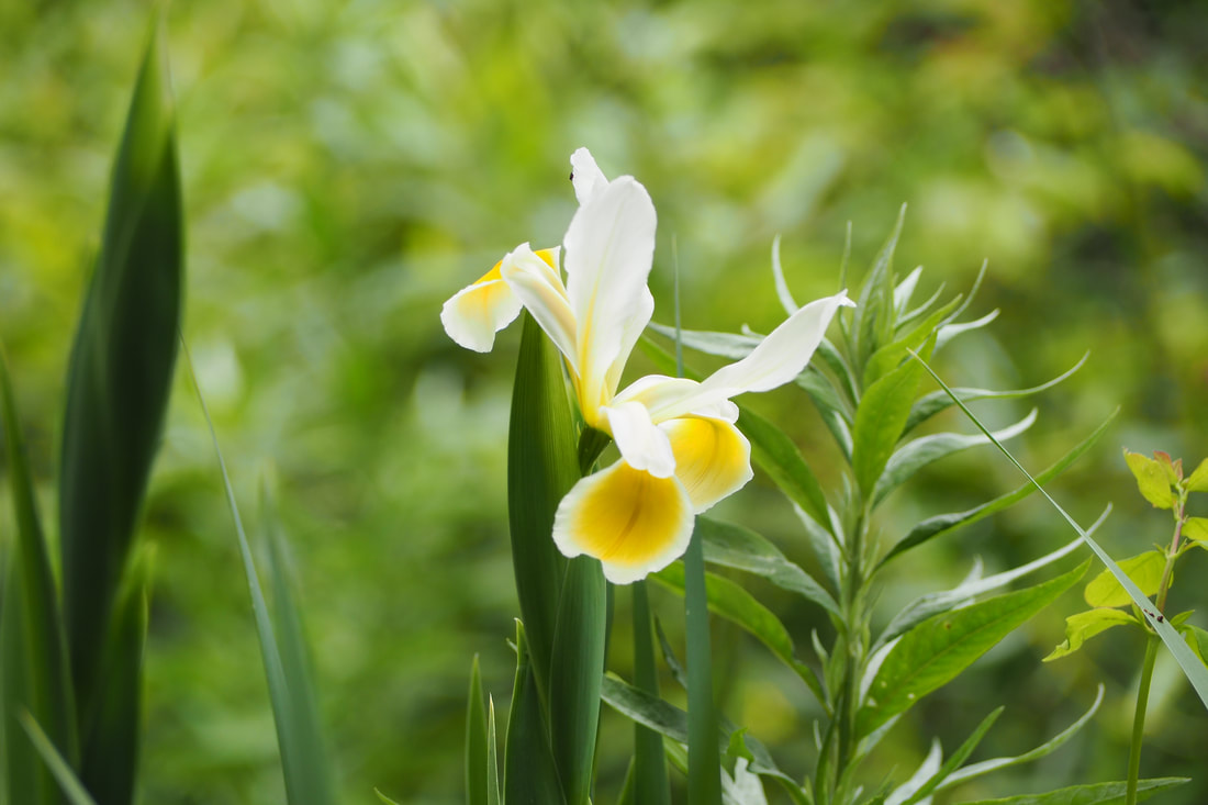 This four-mile loop was a great trail to take in the spring, with so many wild flowers blooming! Another reason to explore this dog-friendly park.
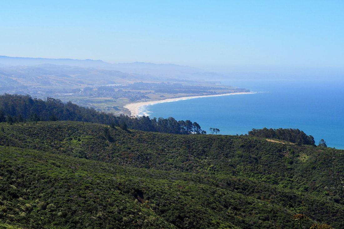
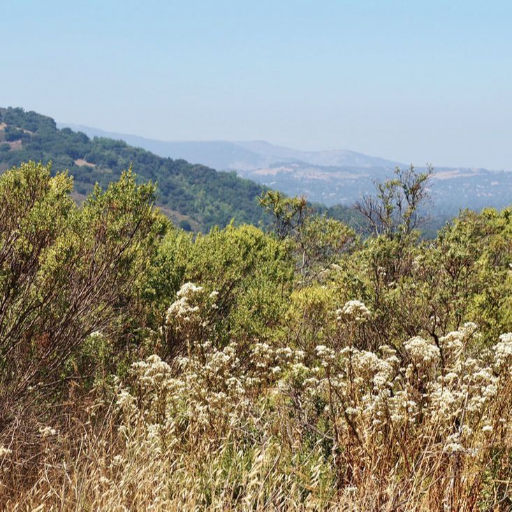
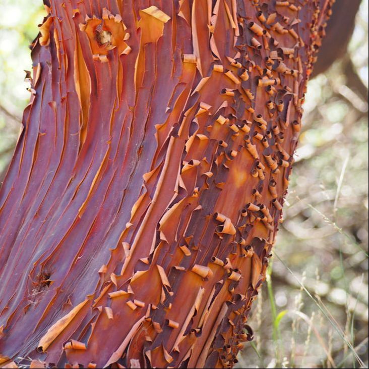
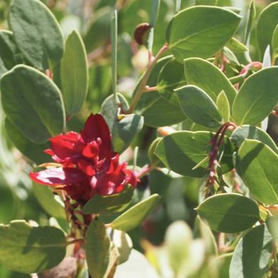
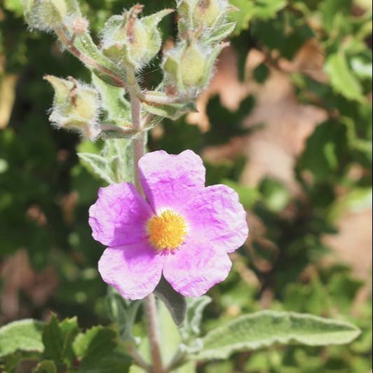
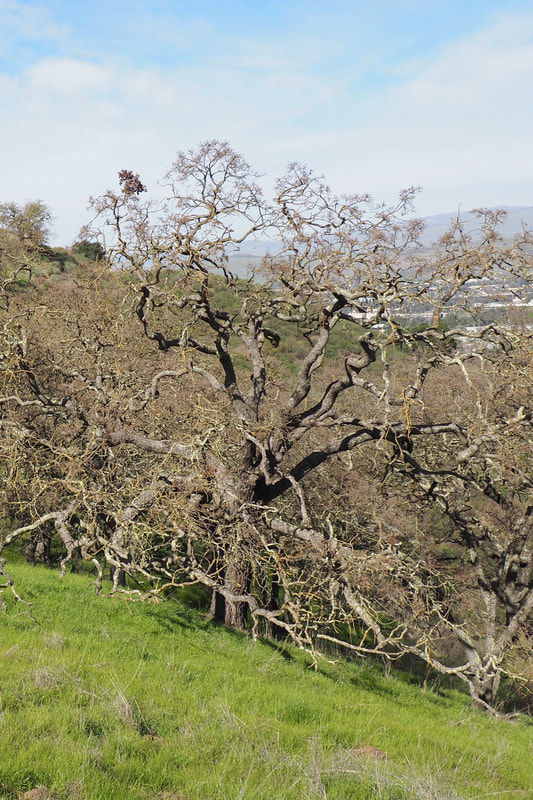
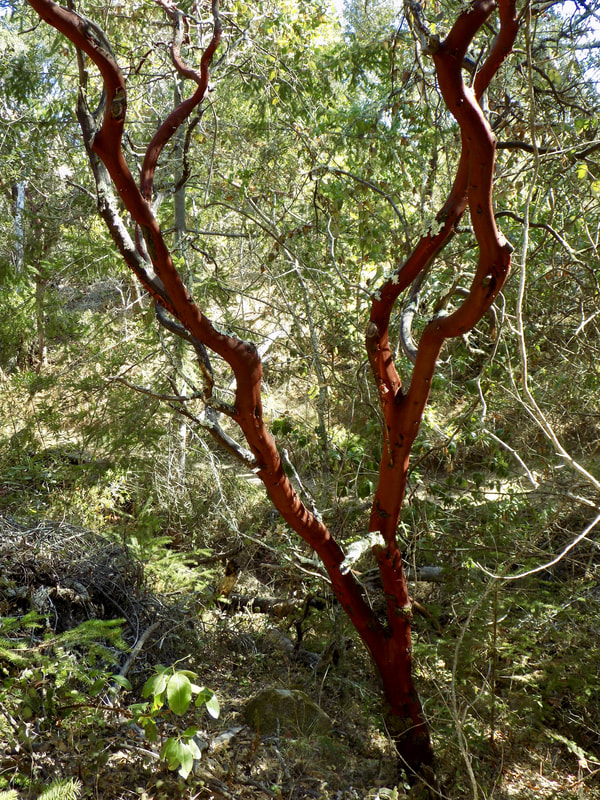
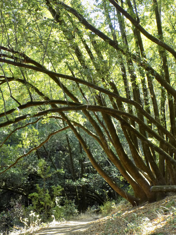
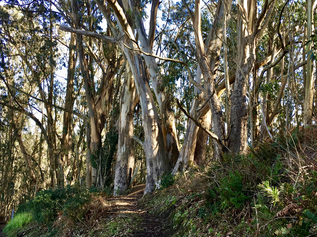 San Pedro Valley County Park in Pacific is an excellent park to visit on a clear winter day, especially after there's been significant rain. The trail I took boasts a multi-tiered waterfall down Montara Mountain, lush eucalyptus forests, flowering manzanita trees, and views of the Pacific Ocean.
 Today I went back to a favorite park of mine--Huddart County Park--in Woodside. I took a short and sweet 1.4 mile trail (in-and-out 0.7 miles each way).
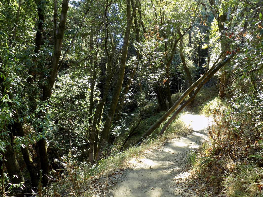
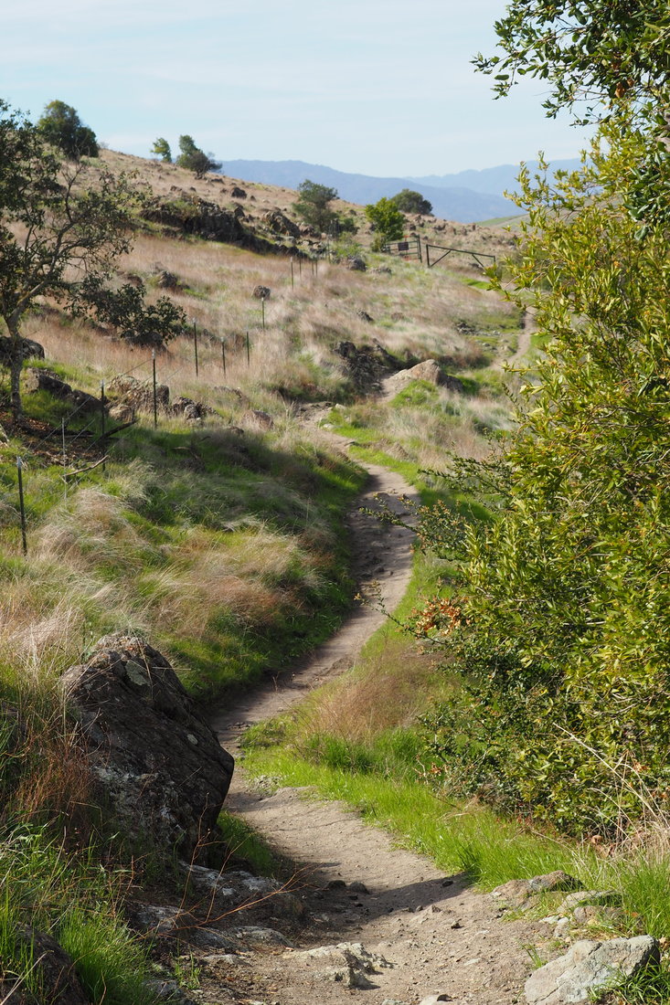
 Coal Mine Ridge is a network of trails maintained by the town of Portola Valley. This particular loop was recommended by Dave Baselt at redwoodhikes.com (see link here). It's about a four-mile hike along a ridge that overlooks the canyon of Corte de Madera Creek.
 Butano State Park is a one of my favorite parks. I have been on Butano streak, as you will see after the jump!
 Malakoff Diggins State Historic Park is a fascinating park that offers visitors a peak back in time to the highs and lows of California's gold mining heyday. Here is a helpful blurb from the state park website:
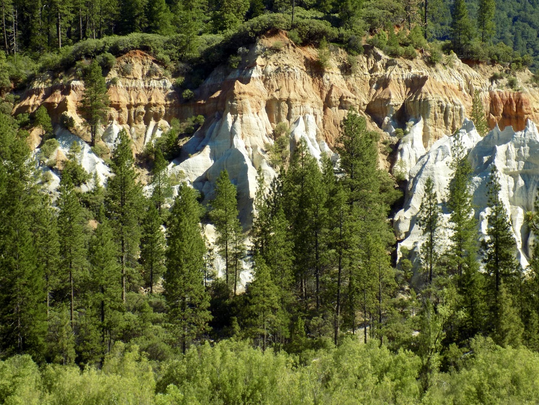
Malakoff Diggins State Historic Park is the site of California's largest "hydraulic" mine. Visitors can see huge cliffs carved by mighty streams of water, results of the gold mining technique of washing away entire mountains to find the precious metal. Legal battles between mine owners and downstream farmers ended this method. The Diggins themselves are really beautiful. They look like some of the red rock formations in Utah. It is weird to see such formations in Northern California, especially because some of the grounds near the foot of the Diggins are still boggy and marshy. The greatest environmental impact was further downstream from the Yuba River, particularly in Marysville where people died because of flooding. It is easy to forget how devastating the pollution from mining was when what remains of this mine is actually very beautiful. The park also has what is more or less a ghost town. It is definitely worth it to take the ranger-led tour of North Bloomfield so that you can go inside some of the old buildings like the saloon, pharmacy, general store, and a residence. Plus, the park rangers here are the friendliest park rangers I have ever met! See my mom's painting of Chute Campground and my photos of the Diggins after the jump. |
Archives
December 2020
Categories
All
|
 RSS Feed
